The best running trails around Općina Donja Motičina
51
runners
11
runs
Jogging routes around Općina Donja Motičina offer a diverse range of terrains, situated where the northern slopes of the Krndija mountains meet the lowlands of the Eastern Croatian plain. The region features a mix of gentle inclines, flat expanses, and rolling hills. Runners can explore extensive forests, open meadows, and paths that follow riverbanks, providing varied natural settings for physical activity.
Best jogging routes around Općina Donja Motičina
- The most popular jogging route is Ružica Grad Castle Ruins loop from…
Last updated: July 1, 2026
11
runners
10.8km
01:44
580m
580m
Hard run. Very good fitness required. Sure-footedness, sturdy shoes and alpine experience required.
7
runners
21.5km
02:44
680m
680m
Hard run. Very good fitness required. Sure-footedness, sturdy shoes and alpine experience required.

Sign up for free
4
runners
9.01km
00:57
100m
110m
Moderate run. Good fitness required. Mostly paved surfaces. Suitable for all skill levels.
6
runners
12.5km
01:38
440m
440m
Hard run. Very good fitness required. Mostly paved surfaces. Suitable for all skill levels.
3
runners
9.77km
01:02
110m
110m
Moderate run. Good fitness required. Mostly paved surfaces. Suitable for all skill levels.
5
runners
33.7km
04:41
1,240m
1,240m
Hard run. Very good fitness required. Sure-footedness, sturdy shoes and alpine experience required.
4
runners
27.9km
03:47
890m
890m
Hard run. Very good fitness required. Sure-footedness, sturdy shoes and alpine experience required.
Get access to more routes and recommendations from other explorers.
Sign up for free
Already have an account?
Our route recommendations are based on thousands of hikes, rides, and runs completed by other people on komoot.
Start today with a free account
Your next adventure awaits.
Login or Signup
Popular around Općina Donja Motičina

Tips from the Community

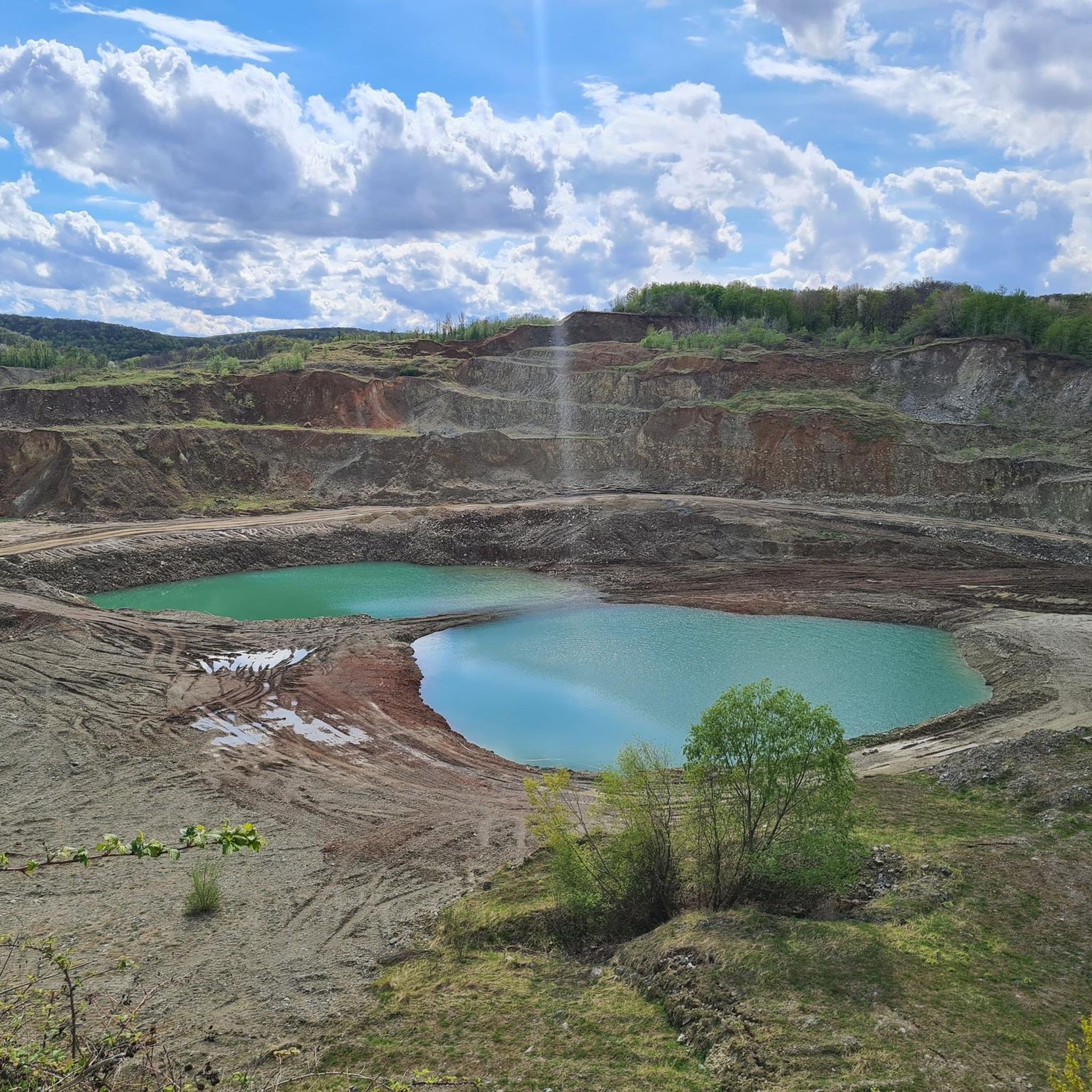
Built in the 14th century, the castle is located on top of a 378-meter high mountain next to the village of Duzluk. From the quarry below, a gravel path leads up to the castle
3
0
A historical place worth visiting. Walking into the city, you can study the educational panels that are located along the way. The disadvantage is the climb in front of the walls, which is quite steep and slippery. By the way, you have to be careful because you can see fresh rockslides around the walls.
3
0

The town of Ružica or the Great Fortress of Orahovica is the largest preserved fortified town in Slavonia and one of the largest in Croatia. It is located on the slopes of Krndije, and dates back to the Middle Ages. The town is easy to visit if you start from Lake Orahovačko, and an educational trail leads to it.
3
0

Great view and at the foot of the mountain beautifully landscaped lake
1
0
Frequently Asked Questions
How many running routes are available in Općina Donja Motičina?
There are 11 dedicated running routes around Općina Donja Motičina listed on komoot. These routes offer a variety of experiences, from moderate jogs to challenging long-distance runs.
What kind of terrain can I expect on the jogging routes in this region?
The region offers a diverse running landscape, where the northern slopes of the Krndija mountains meet the lowlands of the Eastern Croatian plain. You'll find a mix of gentle inclines, flat expanses, rolling hills, extensive forests, open meadows, and paths that follow riverbanks, providing varied natural settings for your run.
Are there running routes suitable for beginners or those looking for an easier jog?
Yes, while many routes feature challenging climbs, there are also moderate options. For example, the Running loop from Našice Grad is a moderate 9.0 km (5.6 miles) trail that can be completed in under an hour, offering a good option for a less strenuous run.
Are there any long-distance running options for experienced runners?
Absolutely. For those seeking a significant challenge, the Ravno Brdo – Male Vincine loop from Gazije is a difficult 33.7 km (20.9 miles) route with over 1200 meters of elevation gain, typically taking over 4 hours to complete. Another demanding option is the Kolut – Ravno Brdo loop from Gazije, which spans 21.5 km (13.4 miles).
What are the most scenic running routes in Općina Donja Motičina?
Many routes offer picturesque views, especially those that traverse the Krndija mountain slopes. You can expect lush greenery, rolling hills, and opportunities for panoramic vistas. Routes like the Ružica Grad Castle Ruins loop from Duzluk combine challenging terrain with views of historical ruins and the surrounding natural beauty.
Are the running trails in Općina Donja Motičina well-marked?
Yes, the area features well-marked trails, primarily designed for hiking but often suitable for jogging. These paths guide you through forests, meadows, and along riverbanks, ensuring a clear and enjoyable running experience.
Can I find circular running routes in the area?
Yes, many of the routes are designed as loops, allowing you to start and finish at the same point. Examples include the Running loop from Našice and the Kolut loop from Gazije, providing convenient options for your run.
What are the best times of year to go running in Općina Donja Motičina?
The region's diverse landscape, with its forests and varied terrain, makes it suitable for running across multiple seasons. Forested areas offer shaded paths, which are ideal during warmer months. Spring and autumn provide pleasant temperatures and vibrant scenery, while winter running can be beautiful, though conditions may vary.
Are there any specific landmarks or points of interest I might see while running?
While running, you might encounter historical elements like the Ružica Grad Castle Ruins. The natural landscape itself, with its rolling hills, dense forests, and proximity to the Drava River, offers many scenic points and natural beauty to explore.
What do other runners say about the routes in Općina Donja Motičina?
Over 50 runners have used komoot to explore Općina Donja Motičina's varied terrain. They often praise the diverse landscapes, from mountain slopes to lowlands, and the challenging yet rewarding nature of many routes, especially those with significant elevation changes.
Are there any facilities for outdoor fitness in Općina Donja Motičina?
Yes, Općina Donja Motičina is actively investing in outdoor recreation, including the construction of an outdoor fitness/street workout area. This initiative complements the natural environment, offering additional options for physical activity that can be integrated into a running routine.
Most popular routes around Općina Donja Motičina

Get inspired with the komoot mobile app


Explore more
Browse the best Running Trails & Routes in other regions.
