The best walks and hikes around Gilgenberg am Weilhart
4.6
(1661)
9,716
hikers
379
hikes
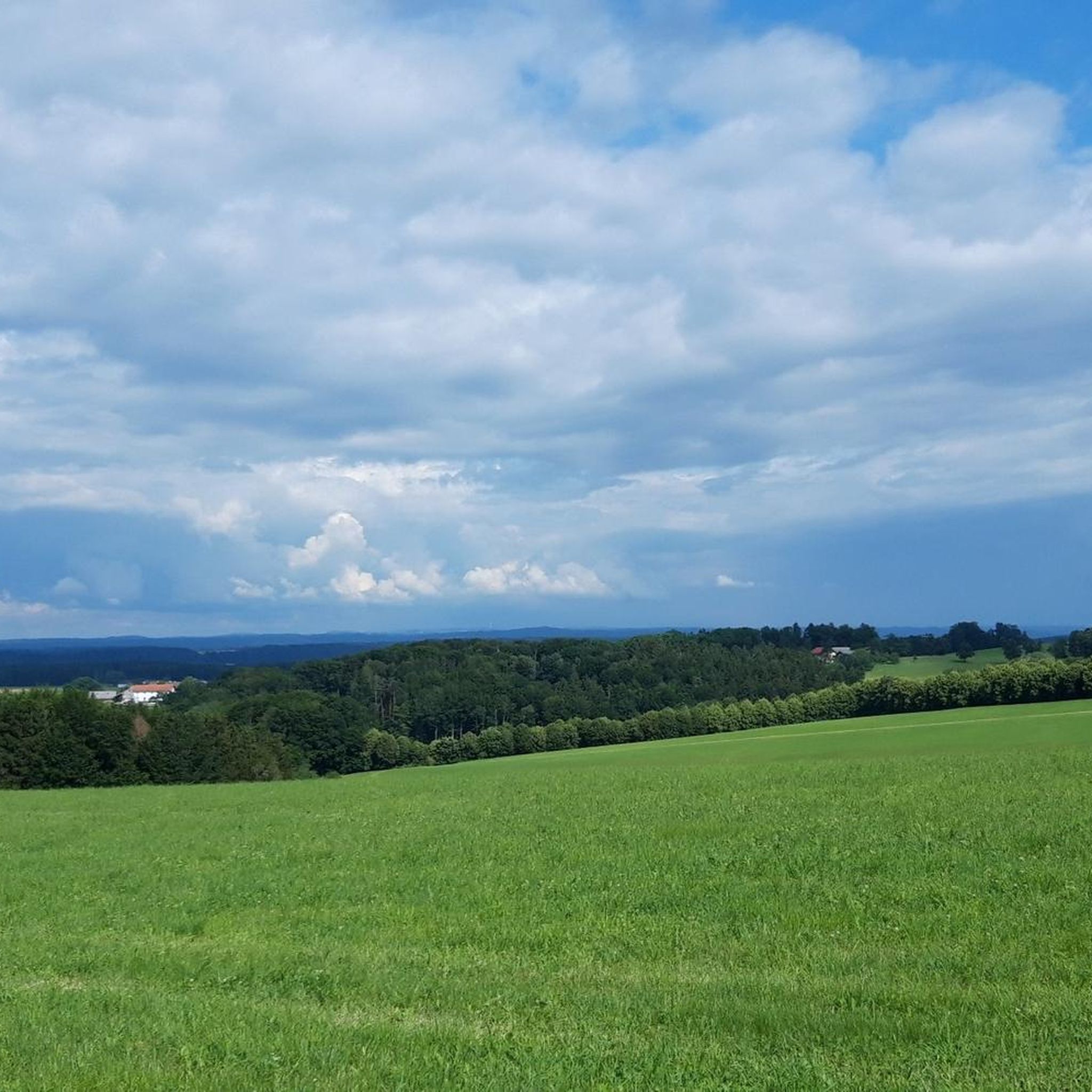
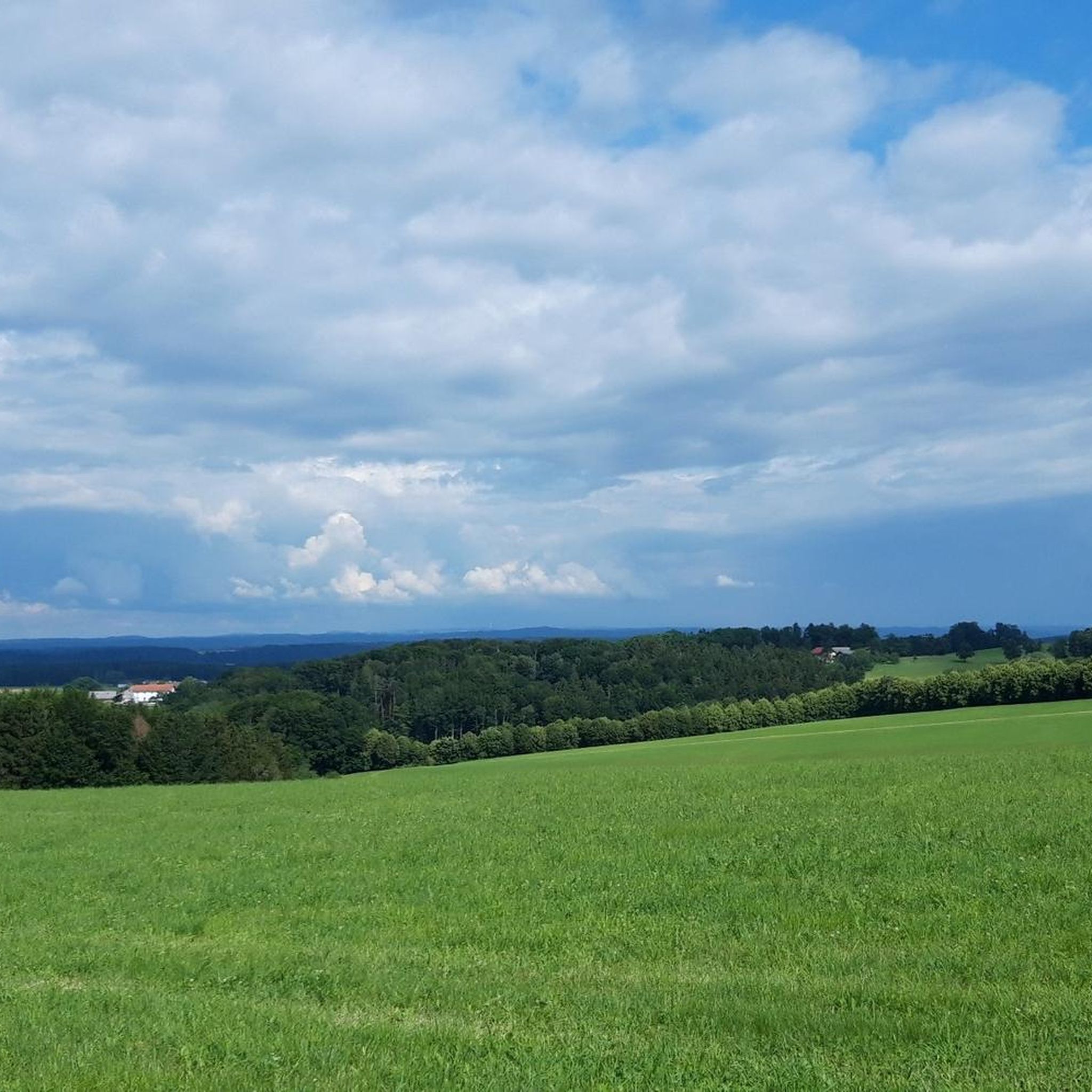
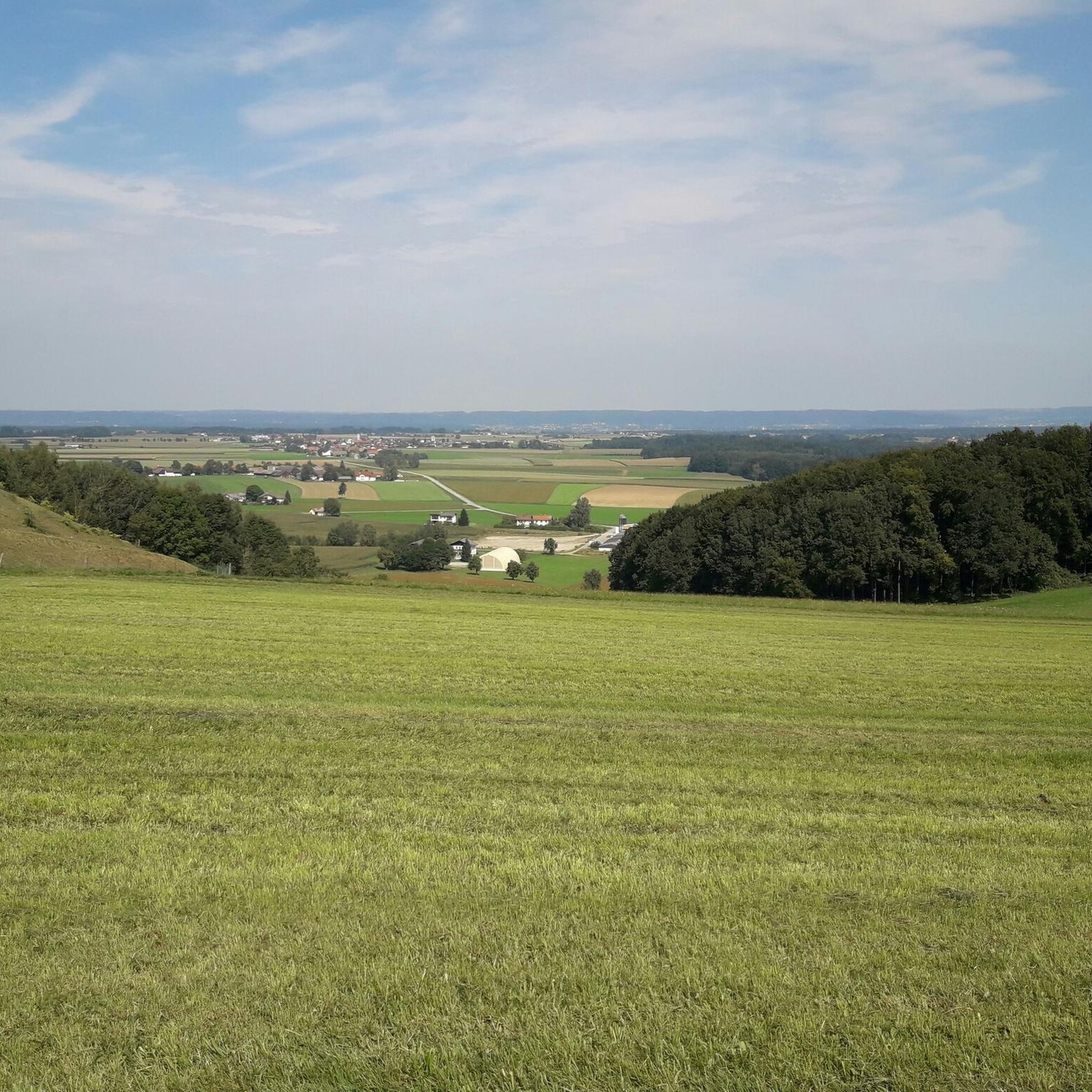
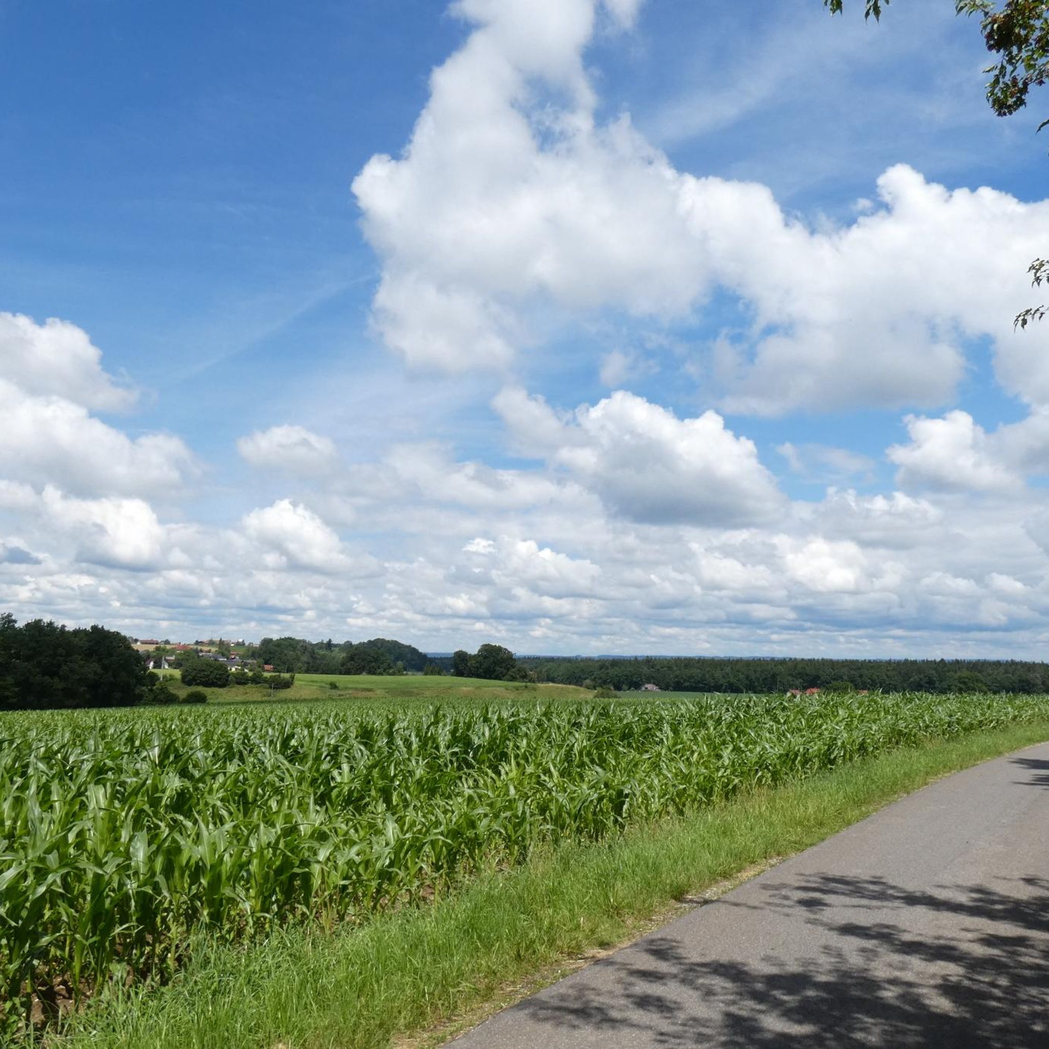
Hiking around Gilgenberg am Weilhart, nestled in the Innviertel region of Upper Austria, offers diverse terrain for outdoor enthusiasts. The area is characterized by gentle hills and the extensive Weilhart Forest, providing numerous trails amidst natural landscapes. The River Weilhart also flows through the community, adding to the picturesque environment. This region is well-equipped for hikers, with many paths in an intact natural landscape.
Best hiking trails around Gilgenberg am Weilhart
- The most popular hiking route is Hiking bench on…
Last updated: July 1, 2026
5.0
(3)
10
hikers
Moderate hike. Good fitness required. Easily-accessible paths. Suitable for all skill levels.
7
hikers
Easy hike. Great for any fitness level. Easily-accessible paths. Suitable for all skill levels.

Sign up for free
4.0
(1)
13
hikers
4.05km
01:04
30m
30m
Easy hike. Great for any fitness level. Easily-accessible paths. Suitable for all skill levels.
5.0
(1)
5
hikers
6.29km
01:38
40m
40m
Easy hike. Great for any fitness level. Easily-accessible paths. Suitable for all skill levels.
5.0
(1)
5
hikers
2.98km
00:48
30m
30m
Easy hike. Great for any fitness level. Easily-accessible paths. Suitable for all skill levels.
Get access to more routes and recommendations from other explorers.
Sign up for free
Already have an account?
Our route recommendations are based on thousands of hikes, rides, and runs completed by other people on komoot.
Start today with a free account
Your next adventure awaits.
Login or Signup
Tips from the Community

Very interesting
4
1
Very nicely done
3
0

Settlement in the Gilgenberg area dates back at least 2500 years. The earliest finds are attributed to the Hallstatt culture. Burial mounds and a beaked jug found in 1995 date from this period. A Roman estate was probably located near the Hallstatt-era finds. Settlement may have been interrupted during the Migration Period. The beginnings of today's Gilgenberg date back to the 12th century.
0
0

Hochburg is the birthplace of the famous component Franz Xaver Gruber, who invented the song "Silent Night". The museum can be visited at any time by appointment. More information at www.discovererviertel.at
4
0

A reminder of the composer of the melody for the most well-known Christmas carol
1
0
Remembering the composer of the melody to "Silent Night, Holy Night"
1
0

You should definitely take a look at the stations of the Friedensweg. Very sensible thoughts and the artist did a really great job on it.
1
0

In the house there is a museum in honor of Franz Xaver Gruber, who was born in the municipality of Hochburg. This tells the story of the composer, including the creation of his work "Silent Night, Holy Night". You can find the opening times here: https://fxgruber.at
3
0
Frequently Asked Questions
How many hiking trails are available in Gilgenberg am Weilhart?
Gilgenberg am Weilhart offers a wide selection of routes, with nearly 400 hiking trails to explore. This includes a diverse range of options, from easy strolls to more challenging paths.
What kind of terrain can I expect on hikes around Gilgenberg am Weilhart?
The region is characterized by gentle hills and the extensive Weilhart Forest, providing a picturesque natural environment. You'll find many paths winding through woodlands, alongside the River Weilhart, and across open landscapes, offering varied scenery for your hike.
What is the best time of year to go hiking in Gilgenberg am Weilhart?
The best times for hiking in Gilgenberg am Weilhart are typically spring and summer. During these seasons, the Weilhart Forest is lush, and the weather is generally pleasant for extended walks and exploring the natural landscape.
Are there easy hiking options for beginners or casual walkers?
Yes, Gilgenberg am Weilhart is very welcoming for beginners and casual walkers, with over 260 easy routes available. An example is the Hiking bench on Trail 28 – Parish Church loop from Ruderstallgassen, an easy 7.5 km path that offers a pleasant loop around the Parish Church.
Are there any circular hiking routes in the area?
Many of the trails in Gilgenberg am Weilhart are designed as circular routes, allowing you to start and end your hike in the same location. A popular choice is the Hiking bench on Trail 28 – Römerstraße loop from Gilgenberg am Weilhart, a moderate 7.7 km loop that explores the Römerstraße directly from Gilgenberg.
What natural features or landmarks can I see while hiking in Gilgenberg am Weilhart?
Beyond the beautiful Weilhart Forest and gentle hills, you can discover several natural highlights. Consider exploring the Salzach Estuary Bird Sanctuary or visiting the Cross Rock on the Salzach. The region also offers scenic viewpoints, such as the View of the confluence of the Inn and Salzach.
Are there any historical sites or castles to explore near the hiking trails?
Yes, the area around Gilgenberg am Weilhart is rich in history. You can visit the impressive Burghausen Castle, one of the longest castle complexes in the world. Additionally, the Late-Gothic Parish Church in Gilgenberg and the historic Schloss Gilgenberg are notable attractions that can be admired before or after your hike.
What do other hikers say about the trails in Gilgenberg am Weilhart?
The trails in Gilgenberg am Weilhart are highly regarded by the komoot community, with an average rating of 4.6 stars from over 1,500 reviews. Hikers often praise the well-maintained paths, the tranquility of the Weilhart Forest, and the diverse natural landscapes.
Are there any long-distance hiking trails that pass through Gilgenberg am Weilhart?
Yes, portions of the Marienwanderweg (Marian Hiking Trail) pass through Gilgenberg am Weilhart. This long-distance trail offers hikers the opportunity to experience nature and visit Marian churches across the Innviertel and Upper Bavaria, spanning approximately 130 km.
Can I find trails that offer a mix of nature and cultural insights?
Absolutely. The Helmbrecht Trail, for instance, is a 30-kilometer scenic route that takes you on a journey back to the Middle Ages, with interpretive panels providing historical information. It crosses into Austria through the Weilhartforst and passes through Gilgenberg, offering both natural beauty and cultural context.
Are there any specific routes that lead to chapels or religious sites?
Yes, one specific hike in the area leads along the Marienwanderweg to the Antoniuskapelle (Antonius Chapel) and then through the Weilhartforst. This offers a blend of natural exploration and a visit to a local religious landmark.
What is the average duration for a hike in Gilgenberg am Weilhart?
Hike durations vary depending on the route and your pace. For example, the moderate Hiking bench on Trail 28 – Römerstraße loop from Gilgenberg am Weilhart typically takes around 2 hours to complete, while shorter easy routes like the Hochburg Parish Church loop from Hochburg can be finished in about 1 hour.
Are there many moderate hiking trails available?
Yes, Gilgenberg am Weilhart offers a good selection of moderate hiking trails, with nearly 120 routes categorized as moderate. These trails provide a bit more challenge than easy walks while still being accessible to most hikers, often featuring slightly more elevation gain or longer distances.
Most popular routes around Gilgenberg am Weilhart
Most popular attractions around Gilgenberg am Weilhart

Get inspired with the komoot mobile app


Explore more
Browse the best Hikes in other regions.
