The 10 Most Amazing Peaks around Großwallstadt
Mountain peaks around Großwallstadt, located in the Bavarian Lower Main region, offer diverse elevated points and extensive hiking opportunities. The area is characterized by scenic trails and viewpoints rather than traditional high-altitude summits. Visitors can explore a variety of natural and historical attractions that provide rewarding experiences and panoramic outlooks. The region is integrated into the Franconian Red Wine Hiking Trail, offering routes through vineyards and the Main River valley.
Best mountain peaks around Großwallstadt
- The most popular mountain peaks…
Last updated: June 29, 2026
Stengerts Observation Tower
Highlight • Monument
Translated by Google •
Tip by

Borberg summit cross
Highlight • Summit
Translated by Google •
Tip by

Sign up now to discover places like this
Get recommendations on the best single tracks, peaks, & plenty of other exciting outdoor places.
Sign up for free
Alte Höhe – Groß-Umstadt's highest point (358 m)
Highlight • Summit
Beautiful forest all around.
Translated by Google •
Tip by
Three Crosses Viewpoint (Sternberg)
Highlight • Viewpoint
Translated by Google •
Tip by

Kaiselsberg
Highlight • Natural Monument
Translated by Google •
Tip by

Sign up for free to discover even more peaks around Großwallstadt.
Sign up for free
Already have an account?
Start today with a free account
Your next adventure awaits.
Login or Signup
Popular around Großwallstadt
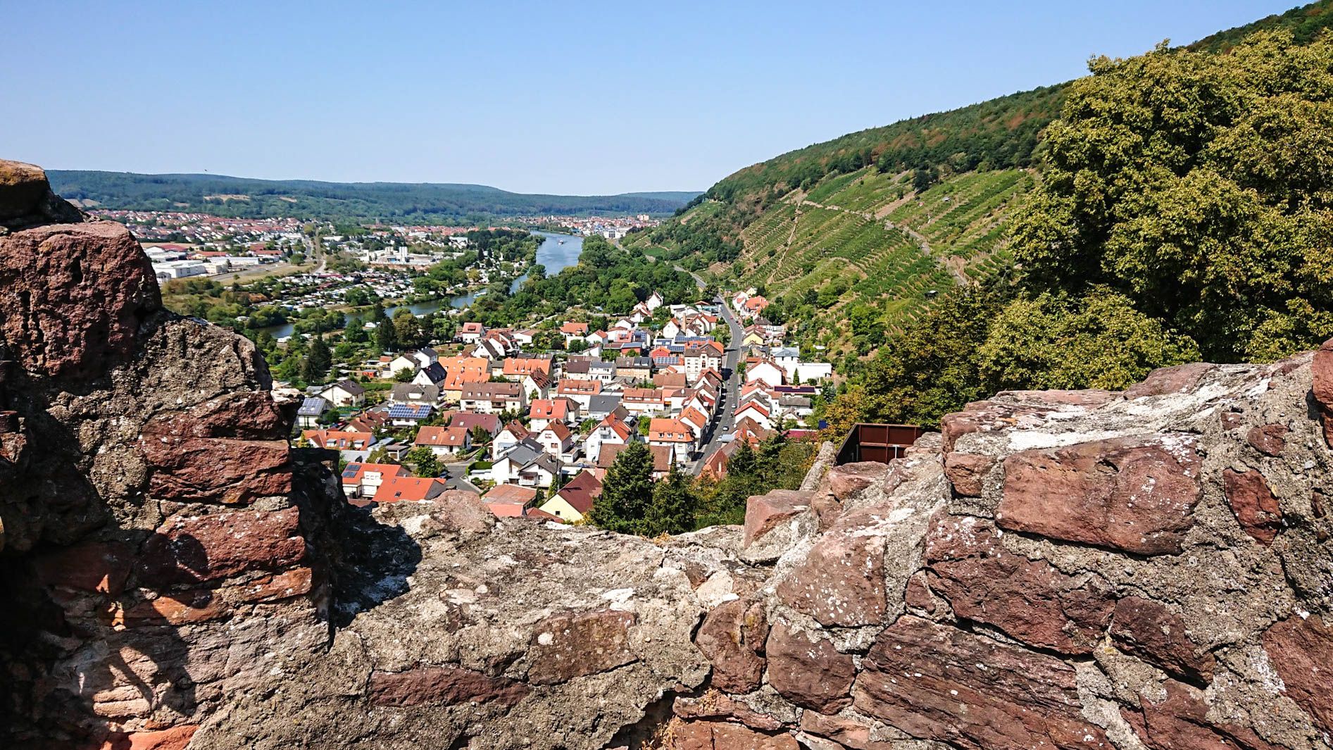
Franconian Red Wine Trail — From vineyards to the Main River
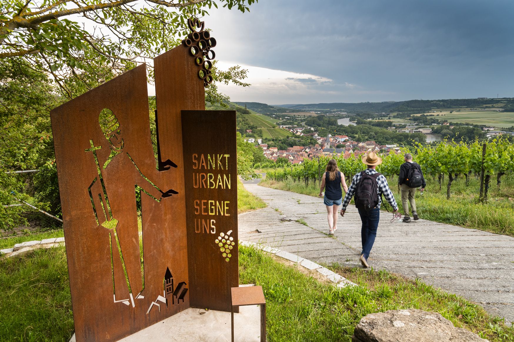
Hiking and culinary delights – walks in the Franconia wine region
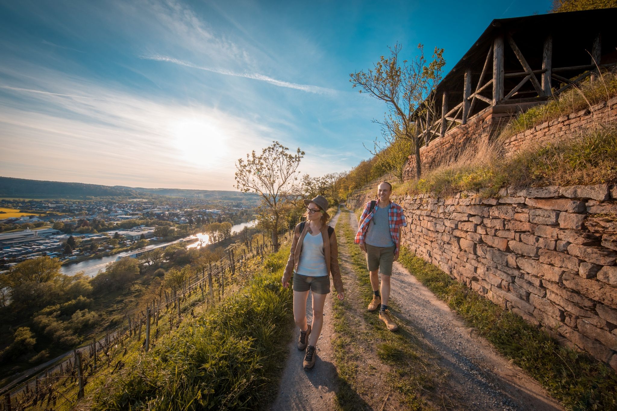
Fränkischer Rotwein Wanderweg – Wandern im Zeichen des Rotweinglases
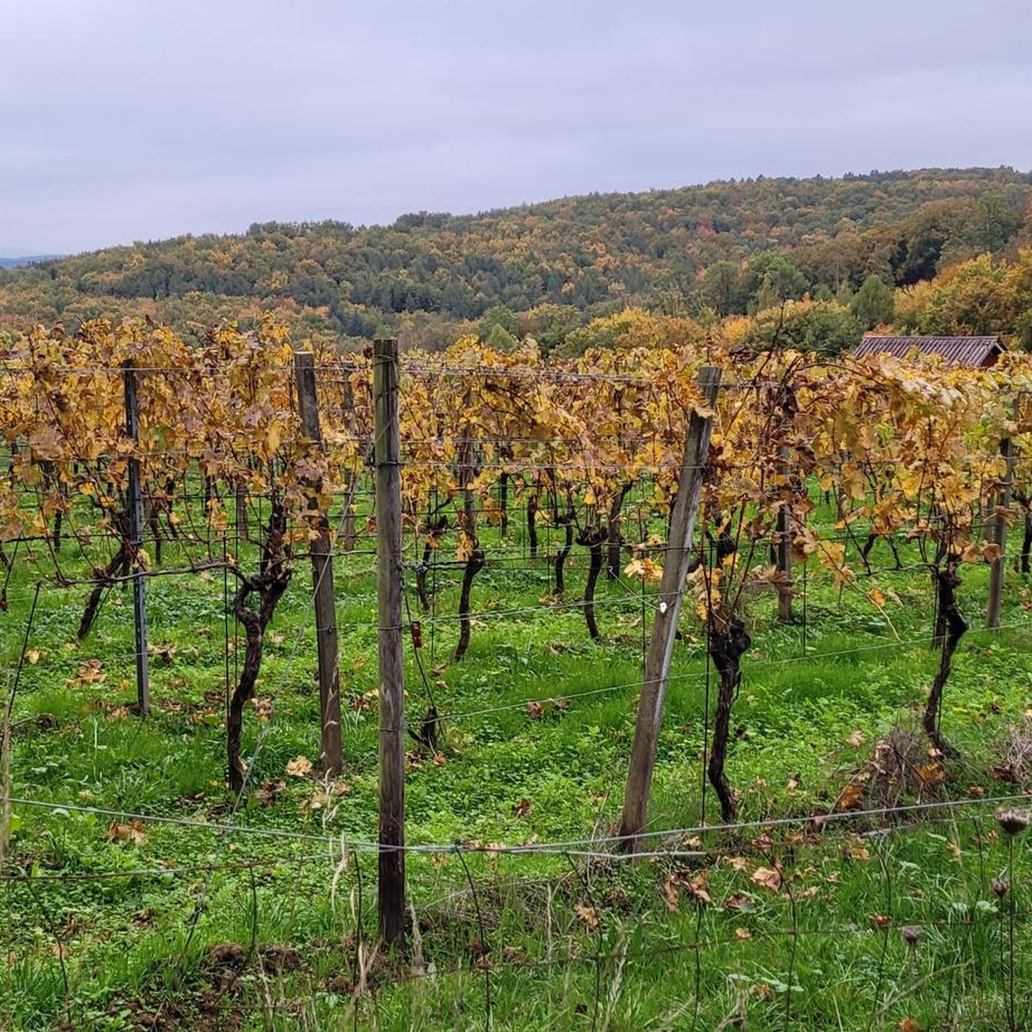
Road Cycling Routes around Großwallstadt
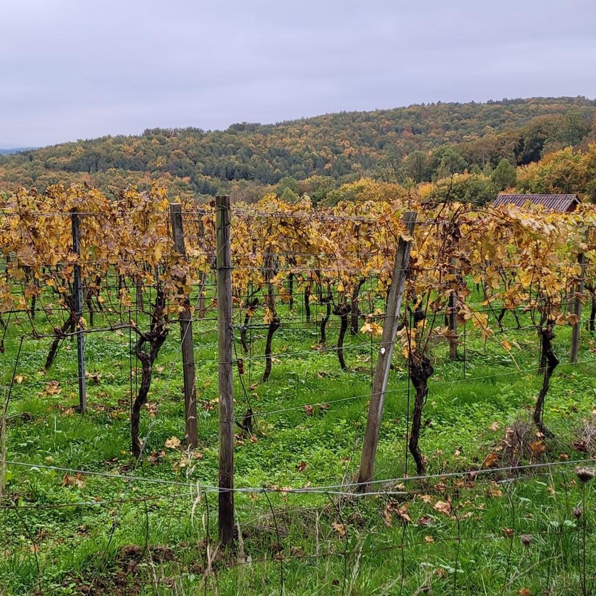
Cycling around Großwallstadt
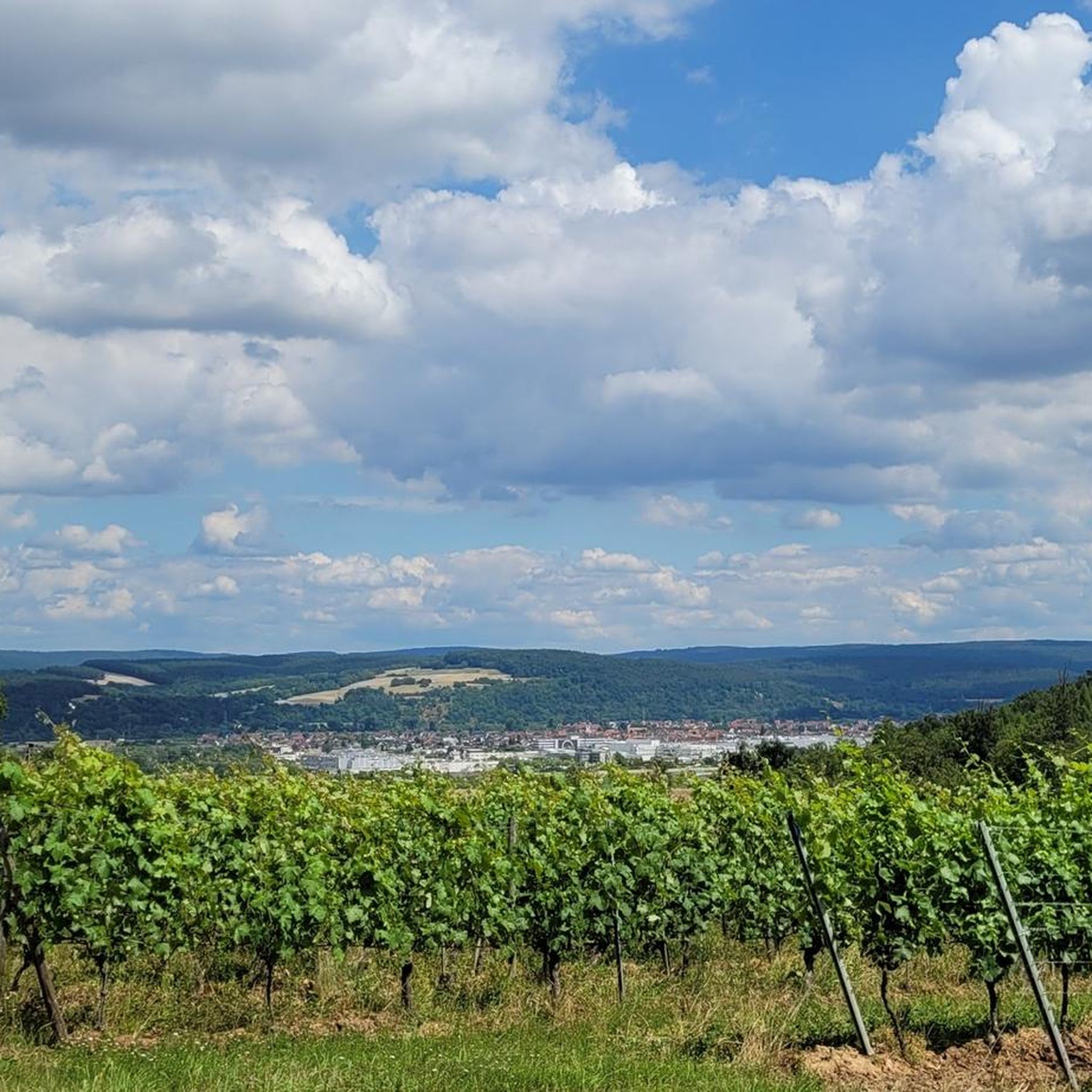
Running Trails around Großwallstadt
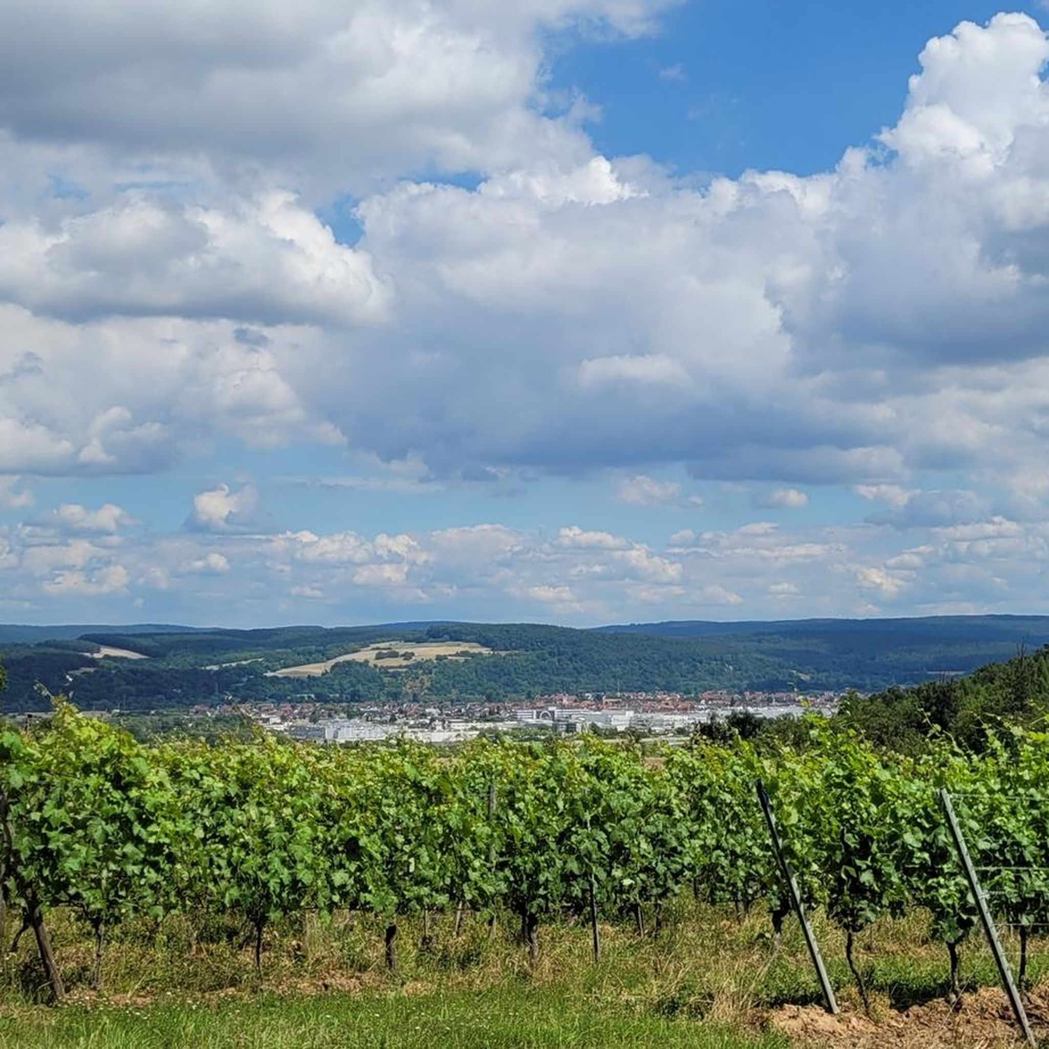
Hiking around Großwallstadt
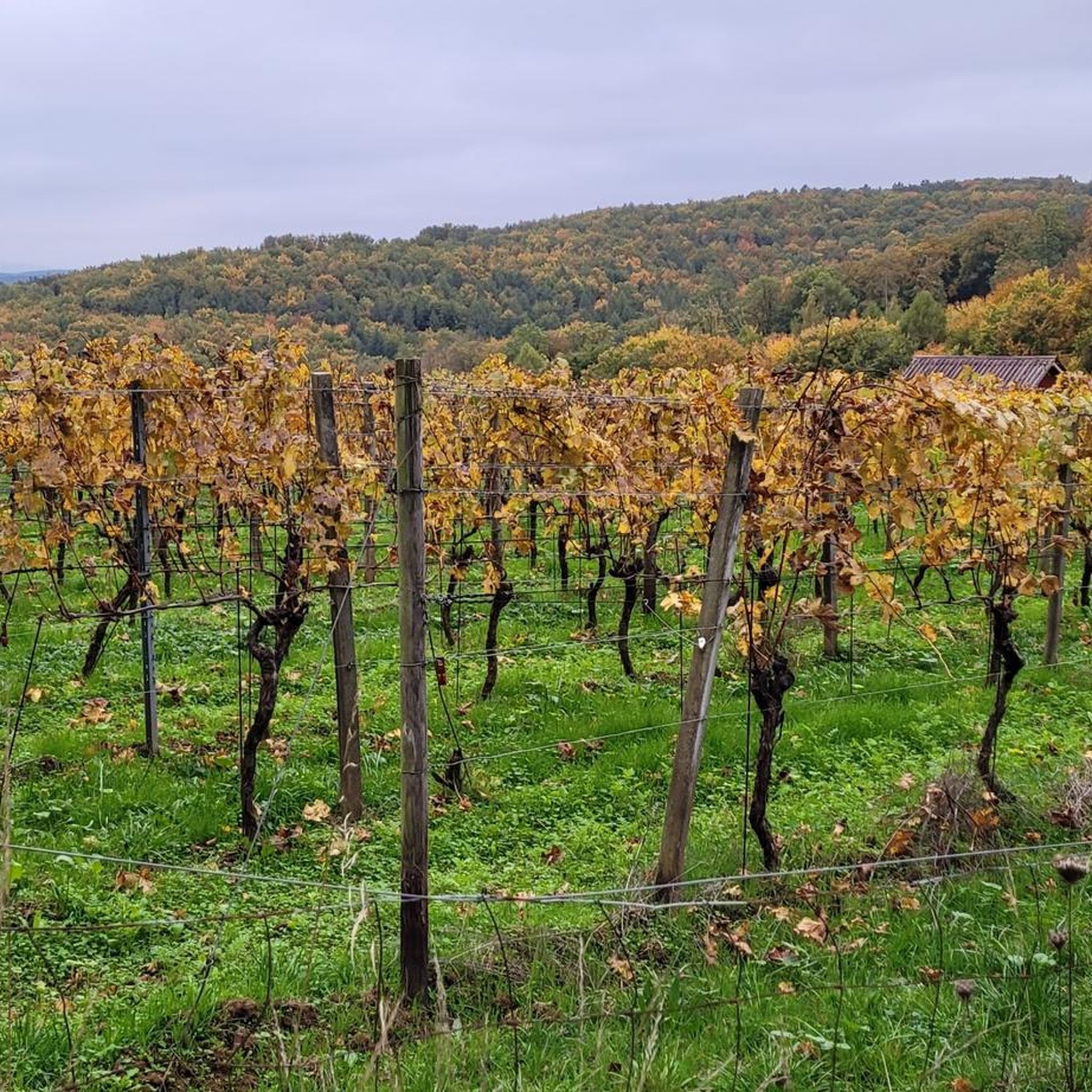
MTB Trails around Großwallstadt

Gravel biking around Großwallstadt
Other adventures around Großwallstadt


Tips from the Community

"In spring 2022, the municipality's forestry department began "converting" the forest above the local road. The area in Kaiselsberg is approximately 1.1 hectares in size. Until now, 80 percent of the trees there were larches, for almost 80 years. There were also beeches, lindens, and oaks. The drought and heat of recent summers have severely damaged the larches, according to forester Roth, who works in the municipality's public works department and is also a specialist in tree care and a tree inspector. The larch bark beetle had an easy time of it. More than 100 larches had to be felled on Kaiselsberg in 2020. The beeches and lindens did not have the potential to form a sustainable and climate-stable stand. Hence the decision to focus primarily on the sweet chestnut. Tree expert Roth explains the reasons: The sweet chestnut is considered very robust in drought and heat and thrives in permeable and nutrient-poor soils. Furthermore, no major pests are known to affect the sweet chestnut. A climate-resistant tree for the future. Therefore, 98 kilos of sweet chestnuts were collected in Haibach's Schweiztal valley for sowing on the Kaiselsberg. On the Kaiselsberg, 5,000 chestnut trees were sown on 0.4 hectares. On the remaining 0.7 hectares of the area, protected from wildlife by a fence, sessile oaks and hornbeams were planted – a total of 4,000 trees. Together with the trees that reproduce naturally without seeding or planting, Roth expects that 10,000 trees will grow on the former larch area from now on. (haibach-entdecken.de)
0
0
"It goes without saying that the earth movements tore deep holes into the mountain. These holes served for decades, if not centuries, as the people of Grünmorsbach called them. The Schinnkaute was a place where dead animals or slaughterhouse waste were buried. This was done with great care, as the fear of epidemics was very great. At the end of the 1950s, a time when garbage was produced began in Grünmorsbach as well. Initially, in very small quantities, which were initially collected by horse-drawn carts, later in massive quantities. So it was not surprising that the first quarry used as a garbage dump was soon filled up, and the municipal administration had to open another large quarry for waste disposal. Waste separation was still a foreign concept at the time, and so everything from household waste to plastics, old cars, and batteries ended up "out of the trash." Even the old Grünmorsbach fire department ladder is said to have found its final resting place there. Today, the surfaces have been renaturalized – a veil of silence lies over the contaminated sites beneath. The Birkbach stream rises at an elevation of 295 m above sea level between Gailbach and Grünmorsbach in a forest on the Kaiselsberg. It flows northeast and finally flows into the Morsbach from the right at an elevation of 207 m above sea level in a marshy area east of Grünmorsbach. Its catchment area drains via the Morsbach into the Bessenbach. The mountain has always been a destination for walkers, as teacher Josef Max Feineis described in a poem in 1919: "Sunday morning after shaving, I go for a little walk. And so that I don't need so much money, I climb the Zangsberg. ..." (haibach-entdecken.de)
0
0
"The Kaiselsberg was already mentioned on the Spessart map by the Nuremberg cartographer Paul Pfinzing from 1562/1594. On the Kaiselsberg, mainly Bunter sandstone was quarried. The prehistoric Bunter sandstone deposits were substantial and extensive. Large parts of the Bunter sandstone were removed by erosion. Today's remnants are the Spessart or the Palatinate Forest. Scientists call mountains like the Kaiselsberg or the Findberg, where Bunter sandstone deposits still appear, "witness mountains," that is, mountains that bear witness to a once much larger deposit. Quarries existed on the Kaiselsberg even in prehistoric times. Many of these pits are still open and recognizable. Anyone who walks through the forest on the Kaiselsberg with their eyes open can see a large number of dumps piled up on the normal mountain slope terrain. From the quarries, overburden and stone scrap were transported into the slope using wagons moved on rails, resulting in considerable debris cones. The people of Grünmorsbach walked over these "camel humps" when walking along the northwestern slope of the Kaiselsberg. One such hump was removed just a few years ago during the construction of the new local road – directly at the Windlücke. Today, it greets drivers and passersby as a slope covered in yellow blooming broom. The Kaiselsberg – one of the few properties owned by the municipality of Grünmorsbach – was for a long time the municipality's sole source of income from logging and leasing quarries. In the 19th century, the quarries were publicly auctioned for leases, usually lasting between seven and nine years. Johann Karl, a resident of Grünmorsbach, was one of the bidders who won the contract for a quarry on the Kaiselsberg. He employed many stone crushers, stonecutters, and stonemasons there. He and his brother Konrad built the two listed semi-detached houses on the state road on Haibacher Höhe. At one point, the quarry and stonemasonry employed around 100 workers. Although the quarries are now completely closed, the stonemasonry business now operates under the name "Steinmetzgeschäft Karl; Owner Albert Stürmer." (www.haibach-entdecken.de)
0
0

Beautiful and well-maintained shelter
0
0

You can also leave an entry in the summit book today
12
0
Lovingly prepared and decorated for Christmas... you can immortalize yourself in the summit book
13
0

Beautiful shelter in the forest
1
0

The summit cross is a cool idea!
5
0
Frequently Asked Questions
What are some of the most popular elevated points and viewpoints around Großwallstadt?
Visitors frequently enjoy the Stengerts Observation Tower, which offers great views and scenic trails, and is a popular stop on MTB tours. Another favorite is the Three Crosses Viewpoint (Sternberg), providing panoramic views of Aschaffenburg, including its castle and collegiate church. The Alte Höhe – Groß-Umstadt's highest point (358 m) is also well-regarded for its forest surroundings and views.
Are there family-friendly elevated points or hikes near Großwallstadt?
Yes, several spots are suitable for families. The Three Crosses Viewpoint (Sternberg) is noted as family-friendly, offering historical interest and views. Additionally, the Alte Höhe – Groß-Umstadt's highest point (358 m) is also categorized as family-friendly, featuring a hut and forest trails. For easy hikes, you can explore routes like the 'Wallstadt Lock loop from Großwallstadt' which is around 7.2 km long. More options can be found in the Easy hikes around Großwallstadt guide.
What kind of hiking opportunities are available around Großwallstadt?
Großwallstadt is an excellent starting point for various hiking routes. The region is integrated into the Franconian Red Wine Hiking Trail (Fränkischer Rotweinwanderweg), which offers extensive trails through vineyards and the Main River valley. You'll find diverse options from scenic walks to more challenging routes. For specific hiking ideas, check out the Easy hikes around Großwallstadt guide.
Are there any quiet or remote elevated spots for a peaceful experience?
Yes, the Borberg summit cross is known for its remote and quiet atmosphere. Visitors appreciate its peaceful setting and the opportunity to sign a summit book, making it a special place away from crowds.
What other outdoor activities can I do near the elevated points around Großwallstadt?
Beyond hiking, the area offers excellent opportunities for cycling. You can explore various road cycling routes, such as the 'Old Town of Obernburg am Main – Round Tower loop from Großwallstadt' which is an easy 29.4 km ride. Gravel biking is also popular, with routes like the 'Mümling Cycling Trail – Mümling River Trail loop from Obernburg am Main'. For more details, refer to the Road Cycling Routes around Großwallstadt and Gravel biking around Großwallstadt guides.
Are there historical or cultural sites to explore near the elevated viewpoints?
Yes, the region combines natural beauty with historical significance. The Three Crosses Viewpoint (Sternberg) is a historical site, featuring crosses erected as a reminder of earlier Passion Plays. The Kaiselsberg is also a natural monument with a rich history of sandstone quarrying, offering insights into the area's past. Additionally, nearby Klingenberg am Main features a charming old town and the Clingenburg castle ruins, providing beautiful views and historical context.
What do visitors enjoy most about the elevated points and trails in the Großwallstadt area?
Visitors frequently highlight the scenic views, especially from spots like the Stengerts Observation Tower and the Three Crosses Viewpoint (Sternberg). The peaceful and remote atmosphere of places like the Borberg summit cross is also highly appreciated. Many enjoy the diverse trails for hiking and mountain biking, and the overall natural beauty of the Bavarian Lower Main region.
Can I find refreshments or places to eat near the trails?
While specific cafes directly on every trail are not detailed, the region offers options. The Hohe Warte near Hessenthal is known as a rustic forest house serving food, including game dishes and home-brewed beer, making it a good starting or destination point for hikes. The nearby town of Klingenberg am Main also boasts excellent restaurants and wine bars in its charming town center.
What kind of natural features can I expect to see around Großwallstadt's elevated points?
The area is characterized by extensive forests, such as those surrounding the Alte Höhe and Kaiselsberg. You'll encounter scenic viewpoints offering panoramic vistas of the Main River valley and surrounding landscapes. The region is also known for its vineyards, particularly along the Franconian Red Wine Hiking Trail, adding to the picturesque natural scenery.
What is the highest point in the immediate vicinity of Großwallstadt?
While Großwallstadt itself is at a lower elevation, the Alte Höhe is recognized as Groß-Umstadt's highest point, reaching 358 meters. This elevated spot offers a summit experience within a beautiful forest setting.
Most popular routes around Großwallstadt
Most popular attractions around Großwallstadt

Get inspired with the komoot mobile app


Explore more
See even more amazing summits around Großwallstadt with these guides:
