The best walks and hikes around Općina Lokvičići
4.7
(214)
1,010
hikers
10
hikes
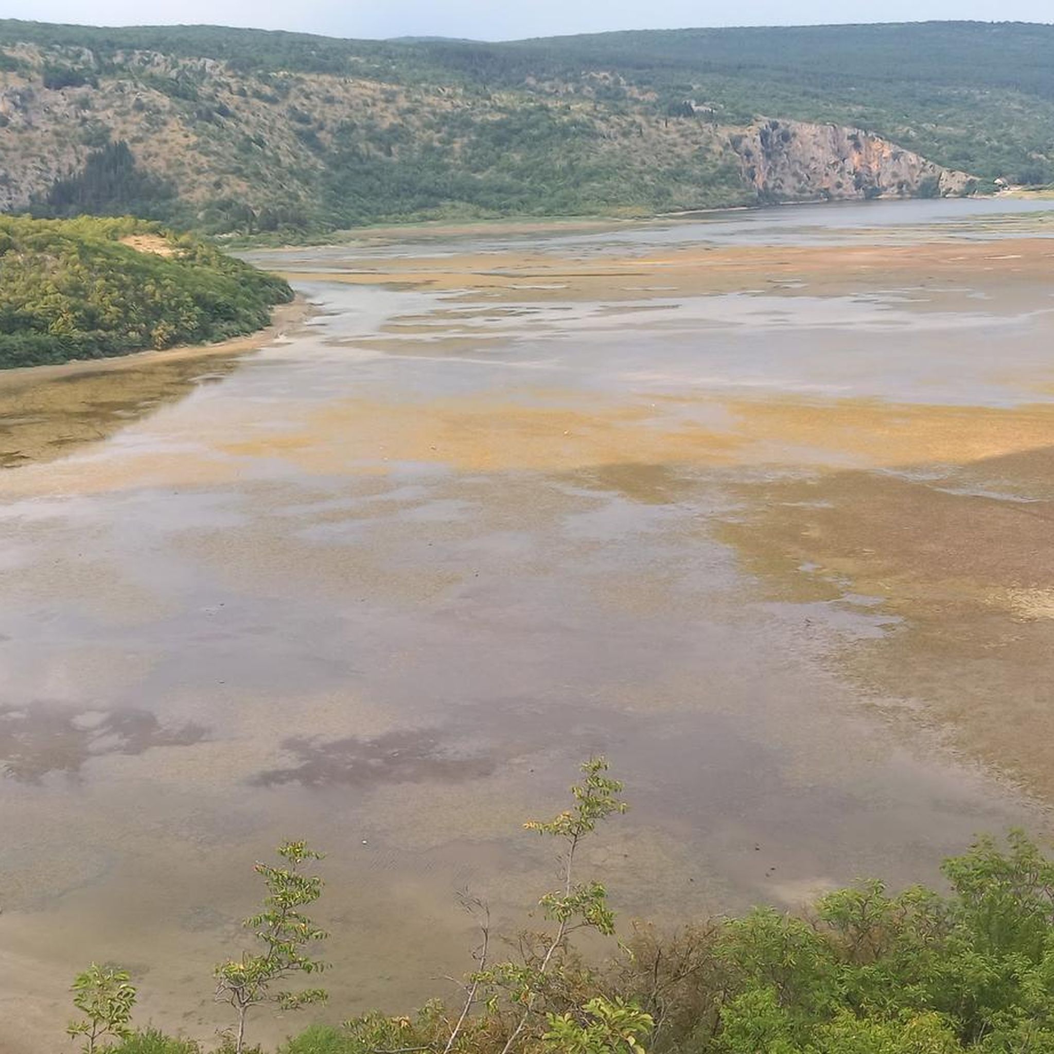
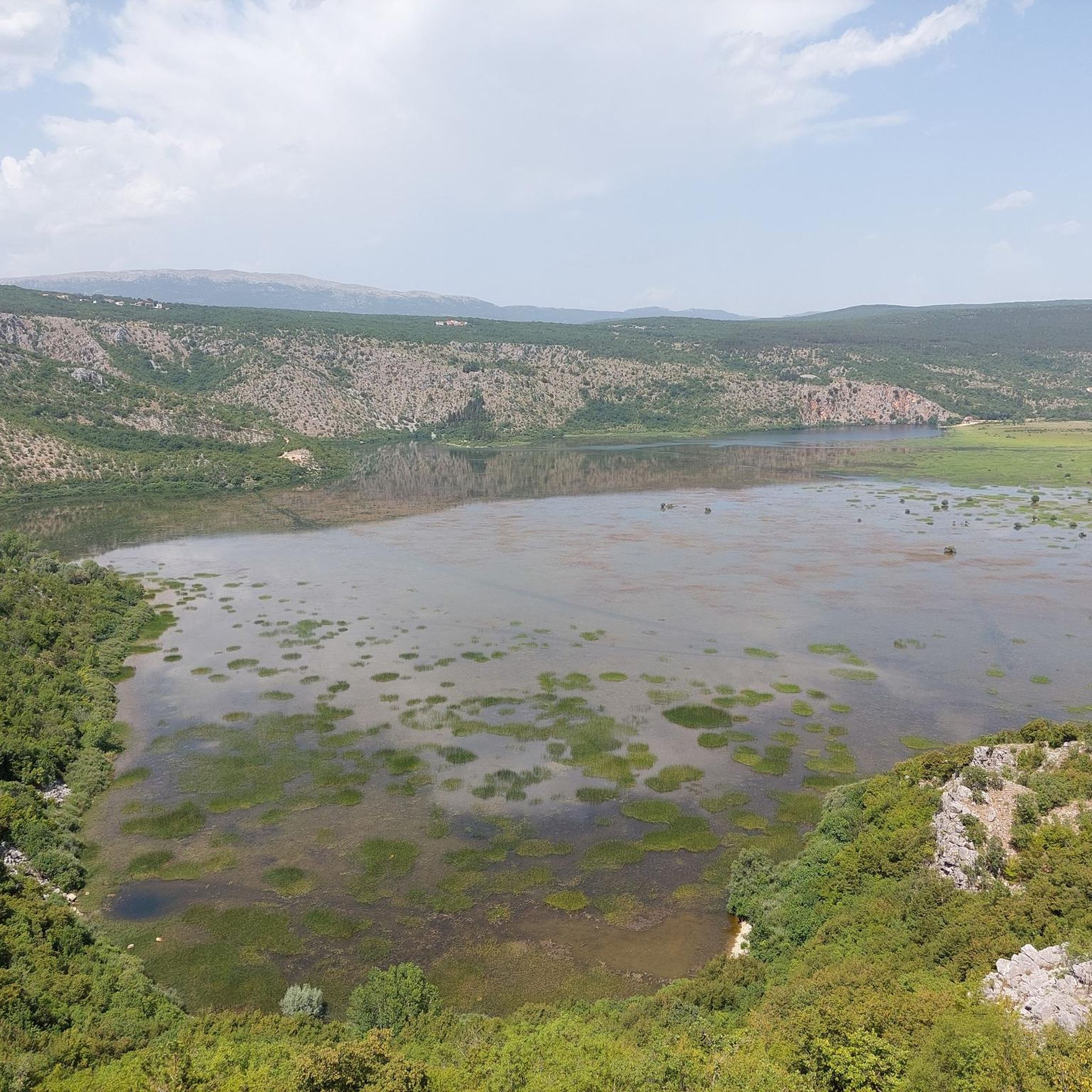
Hiking around Općina Lokvičići offers diverse landscapes characterized by karst lakes, rugged mountains, and verdant valleys. Situated in Croatia's Split-Dalmatia County, the region lies between the Biokovo and Zavelim mountains at an altitude of 600-700 meters. Notable natural features include Lokvičići Lake, Knezović Lake, and Galipovac Lake, which are part of an interconnected hydrological system. The terrain also features rolling hills and pastures, providing varied scenery for outdoor pursuits.
Best hiking trails around Općina Lokvičići
- The most popular hiking route is Blue Lake (Modro Jezero) – Red Lake (Crveno Jezero) loop from Imotski, a 4.3 miles (6.9 km) trail that takes 2 hours 18 minutes to complete. This moderate route connects two prominent karst lakes.
- Another top favourite among local hikers is Sveti Jure Summit – Sveti Jure Summit (1762 m) loop from Zagvozd, a difficult 6.7 miles (10.8 km) path. This challenging trail ascends to the Sveti Jure Summit, offering extensive views.
- Local hikers also love the Topana Fortress, Imotski – Blue Lake (Modro Jezero) loop from Imotski, a 3.4 miles (5.4 km) trail leading through the area's cultural and natural landmarks, often completed in about 1 hour 40 minutes.
- Hiking around Općina Lokvičići is defined by striking karst lakes, a mountainous backdrop, and rolling hills. The network of routes offers options for various ability levels, from easy walks to challenging mountain ascents.
- The routes in Općina Lokvičići are highly rated by the komoot community with an average score of 4.6 stars from over 200 reviews. More than 1000 hikers have used komoot to explore Općina Lokvičići's varied terrain.
Last updated: July 8, 2026
4.6
(58)
220
hikers
Moderate hike. Good fitness required. Easily-accessible paths. Suitable for all skill levels.
4.6
(40)
171
hikers
8.16km
02:32
300m
300m
Moderate hike. Good fitness required. Mostly accessible paths. Sure-footedness required.

Sign up for free
4.6
(52)
196
hikers
6.87km
02:18
310m
310m
Moderate hike. Good fitness required. Mostly accessible paths. Sure-footedness required.
5.0
(12)
131
hikers
Moderate hike. Great for any fitness level. Mostly accessible paths. Sure-footedness required.
4.8
(10)
126
hikers
Moderate hike. Great for any fitness level. Mostly accessible paths. Sure-footedness required.
4.6
(27)
95
hikers
5.85km
02:02
300m
300m
Moderate hike. Good fitness required. Mostly accessible paths. Sure-footedness required.
4.0
(4)
39
hikers
10.8km
07:07
1,230m
1,230m
Hard hike. Very good fitness required. Sure-footedness, sturdy shoes and alpine experience required.
4.8
(4)
12
hikers
Moderate hike. Good fitness required. Mostly accessible paths. Sure-footedness required.
4.6
(5)
14
hikers
5.35km
01:40
210m
200m
Easy hike. Great for any fitness level. Easily-accessible paths. Suitable for all skill levels.
5.0
(2)
6
hikers
11.4km
03:19
300m
300m
Moderate hike. Good fitness required. Easily-accessible paths. Suitable for all skill levels.
Our route recommendations are based on thousands of hikes, rides, and runs completed by other people on komoot.
Start today with a free account
Your next adventure awaits.
Login or Signup
Popular around Općina Lokvičići
Tips from the Community

Unfortunately closed but great view
0
0

Great natural stadium. The fortress offers a fantastic view of the stadium.
0
0

a description and photos of a ride to the top: www.cyclepass.com/t_peu_Sveti_Jure.html
0
0

Deepest lake in Croatia 🇭🇷 and one of the deepest karst lakes in the world.
20
0
Great rest area, perfect for a picnic 😉.
17
0
Great view of the blue lake, and above all, it's free 😅, no rip-offs 👍🏻. If you want to go directly down to the lake (for a swim), you'll be charged (€5.50 adult/€2.50 child) 🫣. Actually, it's not necessary 😃.
17
0
Good for a refreshing break, with a small playground for the little ones.
17
0
The ruins of Topana Fortress by the blue lake are definitely worth seeing. We didn't have to pay anything.
17
0
Frequently Asked Questions
What types of hiking trails can I find in Općina Lokvičići?
Općina Lokvičići offers a diverse range of hiking experiences, from easy walks around its famous karst lakes to challenging mountain ascents. You'll find routes exploring verdant valleys, rugged mountains, and serene river areas. There are approximately 10 hiking trails listed, catering to various fitness levels.
What are the main natural features to see while hiking in Općina Lokvičići?
The region is renowned for its striking karst lakes, including Lokvičići (Mamić Lake), Knezović Lake, and Galipovac Lake, which are part of an interconnected hydrological system. You'll also encounter the mountainous backdrop of Biokovo and Zavelim, along with rolling hills and pastures. The Lokvičići Lakes Geotrail is specifically designed to showcase these geological features.
Are there any easy or family-friendly hiking options in Općina Lokvičići?
Yes, there are options suitable for families and those seeking easier walks. For instance, the Topana Fortress, Imotski – Blue Lake (Modro Jezero) loop from Imotski is rated as easy and offers a pleasant experience through cultural and natural landmarks. Many of the lake-focused trails also provide less strenuous options.
What is the best time of year to go hiking in Općina Lokvičići?
The climate in Općina Lokvičići features warm, sunny summers and mild winters. Spring (March-May) is particularly appealing for hiking, as wildflowers bloom and temperatures are comfortable. Autumn also offers pleasant conditions with cooler weather and vibrant foliage.
Are there any circular hiking routes available?
Yes, many of the trails in the region are designed as loops. For example, the Blue Lake (Modro Jezero) – Red Lake (Crveno Jezero) loop from Imotski connects two prominent karst lakes in a circular fashion. Another option is the Sveti Jure Summit – Sveti Jure Summit (1762 m) loop from Zagvozd for a more challenging circular ascent.
What historical or cultural landmarks can I discover on the trails?
Beyond natural beauty, hikers can encounter historical monuments throughout the landscape. These include ancient rock pile formations, medieval tombstone cemeteries, and remnants of fortifications. Evidence of Roman roads and 12th-century tombstones add to the historical intrigue of the region.
What do other hikers say about the trails in Općina Lokvičići?
The hiking routes in Općina Lokvičići are highly rated by the komoot community, with an average score of 4.6 stars from over 200 reviews. Hikers often praise the striking karst lakes, the mountainous backdrop, and the varied terrain that offers options for different ability levels.
Are there any challenging hikes for experienced trekkers?
Yes, for experienced trekkers, the region offers challenging options. The Sveti Jure Summit – Sveti Jure Summit (1762 m) loop from Zagvozd is a difficult 10.8 km path that ascends to the Sveti Jure Summit, demanding very good fitness and alpine experience.
Is public transport available to reach hiking trailheads in Općina Lokvičići?
While specific public transport routes directly to all trailheads might be limited, the region is generally accessible. Many trails, especially those around Imotski, start from or near towns that may have local bus connections. It's advisable to check local transport schedules for the most up-to-date information when planning your trip.
Are there opportunities for wild swimming near the hiking trails?
The region is rich with karst lakes, and while some are accessible, specific designated wild swimming spots directly adjacent to hiking trails are not widely advertised. Knezović Lake is noted for its clear waters, but accessibility can be challenging. Always exercise caution and respect local regulations regarding swimming in natural bodies of water.
Where can I find parking for hiking trails in Općina Lokvičići?
Parking availability varies by trailhead. For popular routes, especially those starting near towns like Imotski or Zagvozd, you can often find designated parking areas. For more remote trails, roadside parking might be an option, but it's always best to check specific route details or local signage for appropriate and safe parking spots.
Can I bring my dog on the hiking trails in Općina Lokvičići?
Generally, dogs are welcome on many hiking trails in Croatia, especially in natural areas. However, it's always recommended to keep your dog on a leash, especially in protected areas or near livestock, and to clean up after them. Specific restrictions might apply in certain nature parks or reserves, so check local signage.
Most popular routes around Općina Lokvičići

Get inspired with the komoot mobile app


Explore more
Browse the best Hikes in other regions.
