The best walks and hikes around Runovići
4.7
(253)
1,167
hikers
12
hikes
Hiking around Runovići, located in the Split-Dalmatia region of Croatia, features diverse natural landscapes. The area is characterized by karstic formations, including the notable Blue Lake (Modro Jezero) and Red Lake (Crveno Jezero) near Imotski. Trails often traverse varied terrain, offering views of these unique geological features and surrounding hills. The region provides a range of hiking opportunities through its natural scenery.
Best hiking trails around Runovići
- The most popular hiking route is Blue Lake (Modro Jezero) – Blue Lake…
Last updated: October 11, 2026
4.6
(66)
242
hikers
Moderate hike. Good fitness required. Easily-accessible paths. Suitable for all skill levels.
4.6
(45)
182
hikers
8.16km
02:32
300m
300m
Moderate hike. Good fitness required. Mostly accessible paths. Sure-footedness required.

4.6
(62)
223
hikers
6.87km
02:18
310m
310m
Moderate hike. Good fitness required. Mostly accessible paths. Sure-footedness required.
4.9
(15)
154
hikers
Moderate hike. Great for any fitness level. Mostly accessible paths. Sure-footedness required.
4.8
(11)
137
hikers
Moderate hike. Great for any fitness level. Mostly accessible paths. Sure-footedness required.
4.6
(34)
117
hikers
5.85km
02:03
300m
300m
Moderate hike. Good fitness required. Mostly accessible paths. Sure-footedness required.
4.8
(4)
14
hikers
Moderate hike. Good fitness required. Mostly accessible paths. Sure-footedness required.
5.0
(5)
26
hikers
5.87km
02:52
650m
650m
Moderate hike. Good fitness required. Easily-accessible paths. Suitable for all skill levels.
4.6
(5)
14
hikers
5.26km
01:39
210m
200m
Easy hike. Great for any fitness level. Easily-accessible paths. Suitable for all skill levels.
14
hikers
11.0km
04:55
1,030m
1,030m
Hard hike. Very good fitness required. Easily-accessible paths. Suitable for all skill levels.
Get access to more routes and recommendations from other explorers.
Already have an account?
Our route recommendations are based on thousands of hikes, rides, and runs completed by other people on komoot.
Tips from the Community

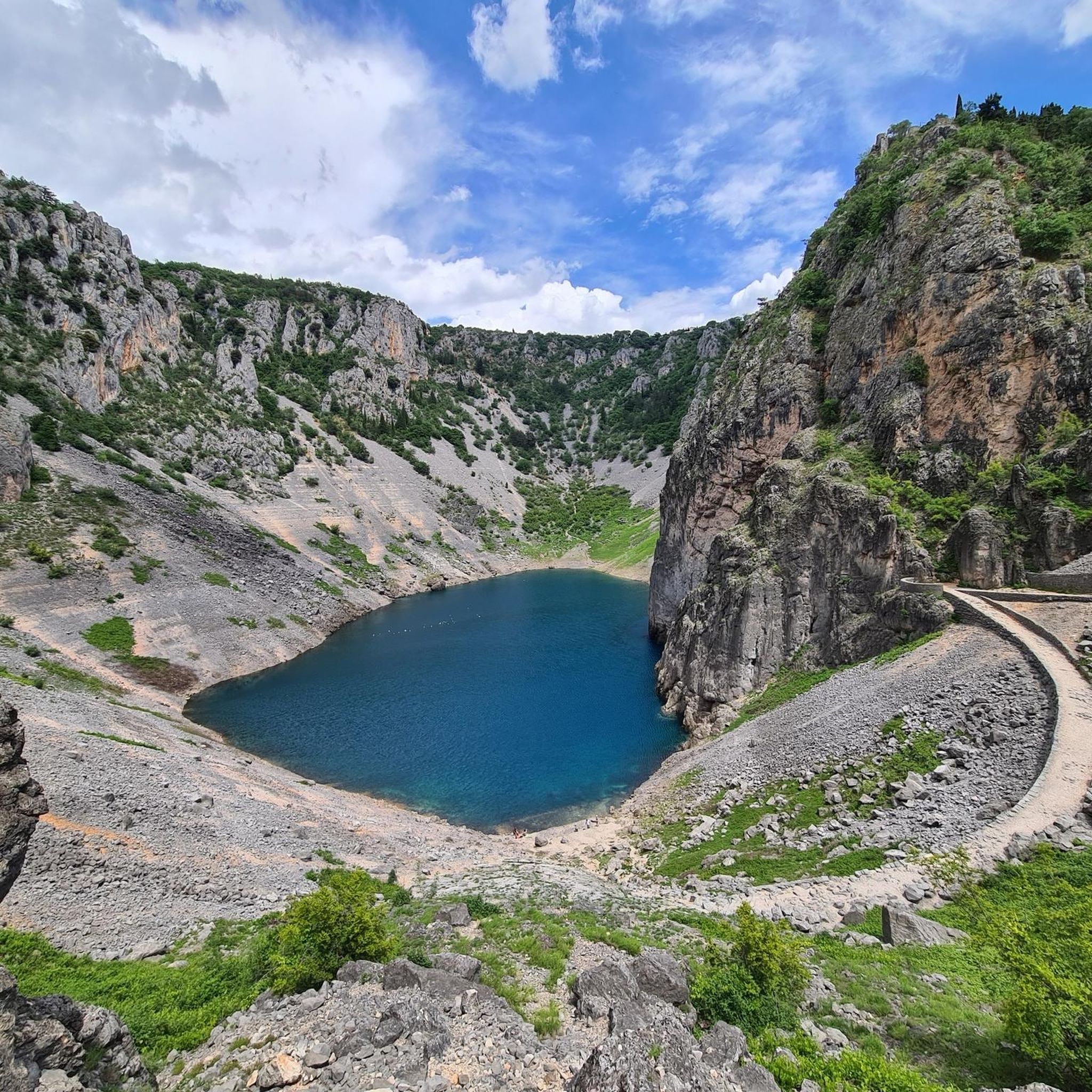
The Blue Lake (Croatian Modro Jezero or Plavo Jezero) lies at the bottom of a sinkhole on the edge of the town. It owes its name to its intensely blue shimmering color. The water level fluctuates considerably depending on the amount of precipitation. When well-filled, the lake is about 100 meters deep. However, in dry summer months, it can also happen that it dries up completely.
0
0
The "Crveno Jezero" ("Red Lake" ed. note) is located about 1.5 km west of Imotski. Numerous myths and legends are associated with the Red Lake, such as the legend of Gavan and his palace. An international expedition of about 50 renowned speleologists explored the lake in 1998. However, they could not definitively determine the final depth of Europe's deepest abyss during the exploration.
0
0
The "Crveno Jezero" ("Red Lake" editor's note) is located approximately 1.5 km west of Imotski. Numerous myths and legends surround the red lake, such as the legend of Gavan and his palace. An international expedition of about 50 renowned speleologists explored the lake in 1998. However, they could not definitively determine the final depth of Europe's deepest abyss during the exploration.
0
0
The "Crveno Jezero" ("Red Lake" ed. note) is located approximately 1.5 km west of Imotski. Numerous myths and legends surround the Red Lake, such as the legend of Gavan and his palace. An international expedition of about 50 renowned speleologists explored the lake in 1998. However, they could not definitively determine the final depth of Europe's deepest abyss during the exploration.
1
0
The "Crveno Jezero" ("Red Lake") is located approximately 1.5 km west of Imotski. Numerous myths and legends surround the Red Lake, such as the legend of Gavan and his palace. An international expedition of about 50 renowned speleologists explored the lake in 1998. However, they could not definitively determine the final depth of Europe's deepest abyss during the exploration.
0
0

Unfortunately closed but great view
0
0

a description and photos of a ride to the top: www.cyclepass.com/t_peu_Sveti_Jure.html
0
0

Deepest lake in Croatia 🇭🇷 and one of the deepest karst lakes in the world.
23
0
Frequently Asked Questions
How many hiking trails are there in Runovići?
There are 12 hiking routes available around Runovići, offering a variety of experiences through the region's natural scenery. These include options ranging from easy walks to more challenging ascents.
What kind of terrain can I expect on hikes around Runovići?
The terrain around Runovići is primarily characterized by karstic formations, including the famous Blue Lake (Modro Jezero) and Red Lake (Crveno Jezero). Trails often traverse varied landscapes, from accessible hills to more mountainous areas, providing diverse views of these unique geological features.
Are there any easy or beginner-friendly hikes near Runovići?
Yes, there are easy options available. For instance, the Topana Fortress, Imotski – Blue Lake (Modro Jezero) loop from Imotski is an easy 5.4 km route that takes about 1 hour 40 minutes to complete, offering a pleasant walk with scenic views.
Can I find circular hiking routes in the Runovići area?
Many of the popular routes in Runovići are circular. For example, you can explore the area around the iconic lakes with routes like the Blue Lake (Modro Jezero) – Red Lake (Crveno Jezero) loop from Imotski, which is a moderate 6.8 km trail.
Are the hiking trails around Runovići suitable for families with children?
Yes, several trails are suitable for families. The routes around the Blue Lake, such as the Café Restaurant Modro Jezero – Blue Lake (Modro Jezero) loop from Imotski, are moderate in difficulty but shorter (2.3 km) and offer accessible paths with beautiful views, making them enjoyable for families.
What are some notable natural attractions or landmarks to see while hiking?
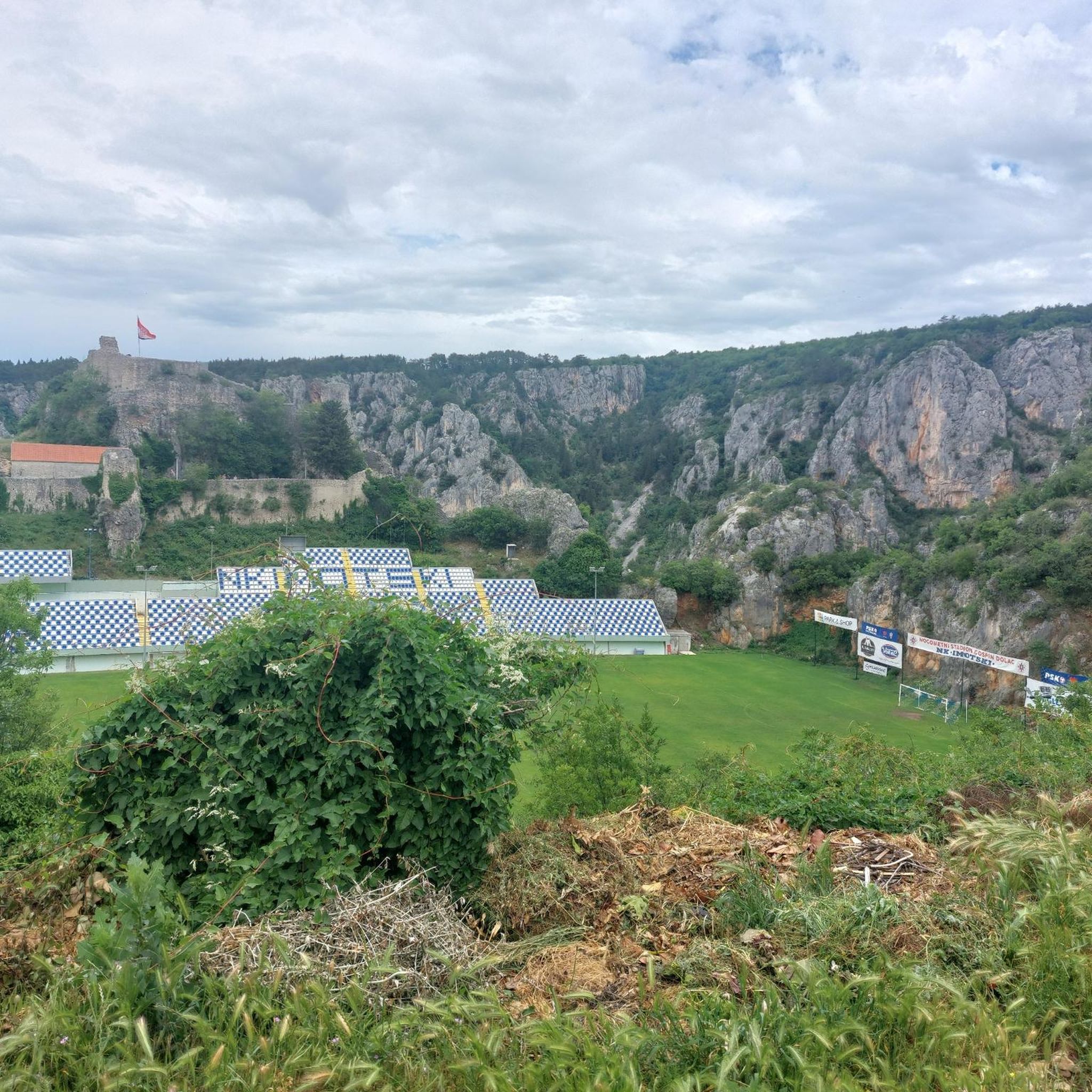
The most prominent natural attractions are the stunning Blue Lake (Modro Jezero) and Red Lake (Crveno Jezero) near Imotski, which are central to many hiking routes. You can also visit the historic Topana Fortress in Imotski, which is connected to some lake trails, such as the Blue Lake (Modro Jezero) – Topana Fortress, Imotski loop from Imotski.
What is the best time of year to go hiking in Runovići?
The Split-Dalmatia region, including Runovići, generally offers pleasant hiking conditions from spring through autumn. Spring brings lush greenery, while autumn provides cooler temperatures and vibrant colors. Summer can be warm, so early morning or late afternoon hikes are recommended during peak season.
Is it possible to hike in Runovići during winter?
While the lower-lying trails around the lakes may be accessible in winter, conditions can vary. Higher elevation routes, especially those in the wider Velebit Mountains, may experience snow and colder temperatures, requiring appropriate gear and caution. Always check local weather forecasts before heading out.
Are there options for parking near the trailheads in Runovići?
Yes, parking is generally available near popular trailheads, especially around the Imotski lakes. Many routes start from towns like Imotski or near specific attractions, where designated parking areas can be found.
What do other hikers say about the trails in Runovići?
The hiking routes in Runovići are highly rated by the komoot community, with an average score of 4.7 stars from over 200 reviews. Hikers often praise the stunning views of the karstic lakes, the varied natural scenery, and the well-maintained paths that offer a rewarding outdoor experience.
Are there any longer, more challenging hikes available in the wider region?
For those seeking more challenging experiences, the wider Split-Dalmatia region offers options like the Sveti Jure Summit – Sveti Jure Summit (1762 m) loop from Župa. This difficult 11 km trail leads through mountainous terrain and takes nearly 5 hours to complete, offering significant elevation gain and panoramic views.
Can I find any wild swimming spots after a hike in Runovići?
While the Blue Lake (Modro Jezero) is a prominent feature, swimming access can be restricted or seasonal. For wild swimming, it's best to research specific, officially designated spots or local recommendations, as not all natural water bodies are suitable or safe for swimming.
Most popular routes around Runovići

Get inspired with the komoot mobile app


Explore more
Browse the best Hikes in other regions.
