The best walks and hikes around Sveti Ilija
4.7
(288)
553
hikers
25
hikes
Hiking trails around Sveti Ilija are primarily found in the Varaždin County of Croatia, characterized by rolling hills, agricultural lands, and river valleys. The terrain generally features gentle ascents through forests and open fields, with some routes offering views of the surrounding countryside. This region provides a network of trails suitable for various hiking abilities, focusing on accessible natural landscapes.
Best hiking trails around Sveti Ilija
- The most popular hiking route is Veliko Čevo Peak (562 m) loop from Beletinec…
Last updated: October 8, 2026
4.9
(149)
211
hikers
4.53km
02:10
320m
320m
Moderate hike. Good fitness required. Mostly accessible paths. Sure-footedness required.
4.9
(117)
189
hikers
5.17km
02:24
400m
400m
Moderate hike. Good fitness required. Mostly accessible paths. Sure-footedness required.

12
hikers
Easy hike. Great for any fitness level. Easily-accessible paths. Suitable for all skill levels.
10
hikers
16.2km
04:05
20m
20m
Moderate hike. Good fitness required. Easily-accessible paths. Suitable for all skill levels.
10
hikers
11.6km
02:56
20m
20m
Moderate hike. Good fitness required. Easily-accessible paths. Suitable for all skill levels.
7
hikers
9.24km
02:20
20m
20m
Moderate hike. Good fitness required. Easily-accessible paths. Suitable for all skill levels.
4
hikers
Easy hike. Great for any fitness level. Easily-accessible paths. Suitable for all skill levels.
3
hikers
Moderate hike. Good fitness required. Easily-accessible paths. Suitable for all skill levels.
3
hikers
8.68km
02:11
10m
10m
Moderate hike. Good fitness required. Easily-accessible paths. Suitable for all skill levels.
4
hikers
9.91km
02:30
10m
10m
Moderate hike. Good fitness required. Easily-accessible paths. Suitable for all skill levels.
Get access to more routes and recommendations from other explorers.
Already have an account?
Our route recommendations are based on thousands of hikes, rides, and runs completed by other people on komoot.
Start today with a free account
Your next adventure awaits.
Tips from the Community

Christmas nativity scene with small figures
0
0
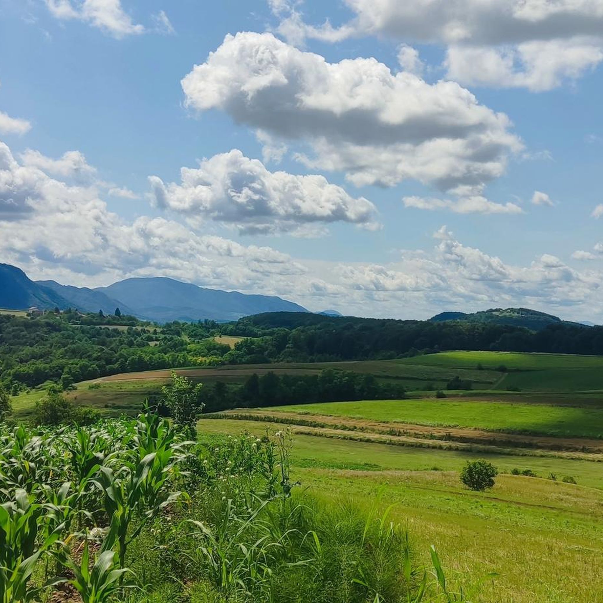
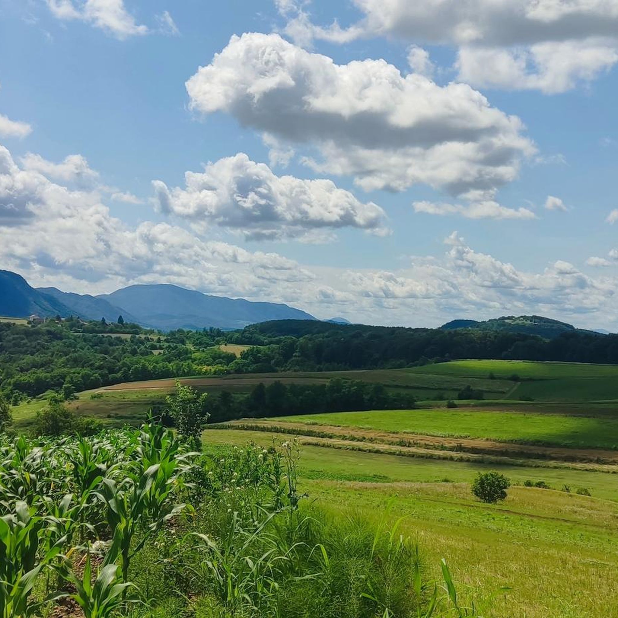
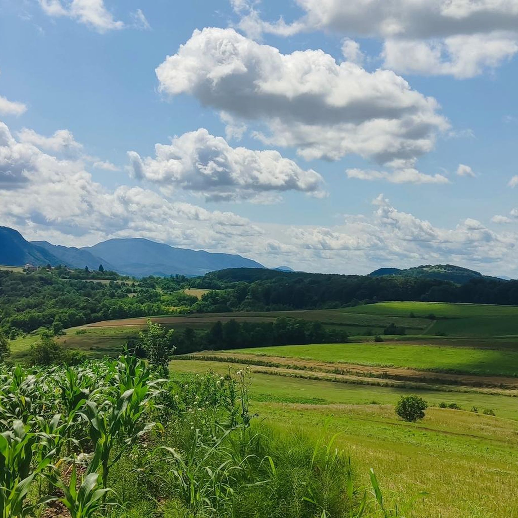
Another view from Čevo hill few minutes walk from Čevo peak.
0
0
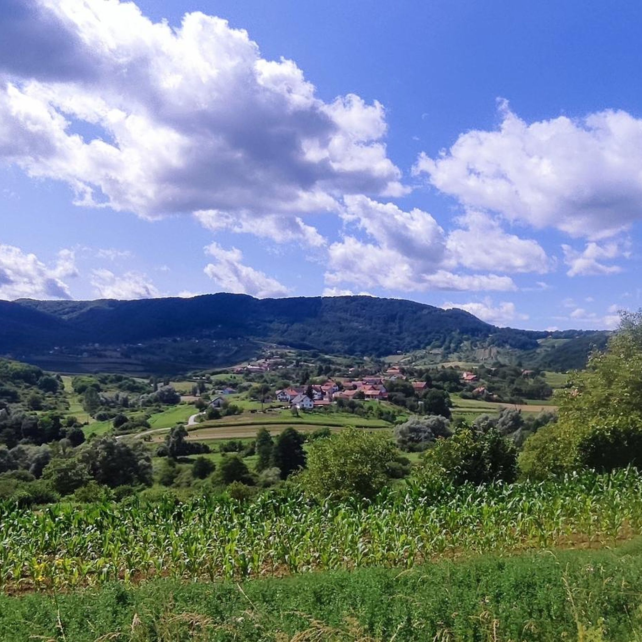
Most visited place for quick trening up and down :)
0
0

Vatroslav Jagić, one of the founders of Slavic studies, was born on July 6, 1838, in Varaždin and died on August 5, 1923, in Vienna. As a professor, he taught in Zagreb, Novorossiysk, Leipzig, Odessa, Vienna, St. Petersburg, and Berlin. In recognition of his numerous scholarly achievements, he was one of the rare individuals to be ennobled. https://de.m.wikipedia.org/wiki/Vatroslav_Jagi%C4%87
1
0

A true floral oasis of peace and greenery in the middle of the city. It's nice to take a walk and relax, in the summer it's a pleasure to sit on a bench in the thick shade.
2
0
Frequently Asked Questions
What kind of terrain can I expect on hiking trails around Sveti Ilija?
Hiking trails around Sveti Ilija, primarily in the Varaždin County of Croatia, feature rolling hills, agricultural lands, and river valleys. You'll find gentle ascents through forests and open fields, with some routes offering views of the surrounding countryside. The terrain is generally accessible and suitable for various hiking abilities.
Are there many easy hiking options in the Sveti Ilija area?
Yes, the Sveti Ilija region offers a good selection of easy hiking trails. Out of 27 available routes, 12 are classified as easy, making them suitable for casual walkers or those looking for a less strenuous experience. These often include city walks or paths through gentle landscapes.
Can I find circular hiking routes around Sveti Ilija?
Many of the trails around Sveti Ilija are designed as loops, offering convenient circular walks. For example, the Veliko Čevo Peak (562 m) loop from Beletinec and the Veliko Čevo Peak (562 m) loop from Završje Podbelsko are popular moderate circular routes. For an easier city-based loop, consider The central square of Varaždin – City symbol loop from City of Varaždin.
What are the typical lengths and durations of hikes in this region?
Hikes around Sveti Ilija vary in length and duration. Many routes are relatively short, such as the Veliko Čevo Peak (562 m) loop from Beletinec at 2.8 miles (4.5 km) taking about 2 hours. Longer options exist, like the Clock Tower – Bishop's Residence Varaždin loop from Varaždin, which is 10 miles (16.2 km) and can take over 4 hours.
Are there any challenging hikes for experienced hikers near Sveti Ilija?
While the region is characterized by rolling hills, there is at least one route classified as difficult among the 27 available trails. These more challenging options typically involve greater elevation changes or more rugged sections, providing a good test for experienced hikers seeking a more strenuous adventure.
What do other hikers say about the trails around Sveti Ilija?
The hiking trails around Sveti Ilija are highly regarded by the komoot community, with an impressive average rating of 4.9 stars from over 180 reviews. Hikers often praise the varied terrain, from city walks to moderate hill climbs, and the accessible natural landscapes of the Varaždin County.
Are there any specific viewpoints or landmarks to look out for on the trails?
Many routes offer views of the surrounding countryside, particularly from higher elevations like Veliko Čevo Peak. Trails also pass through charming urban and green spaces in Varaždin, allowing you to explore historical city symbols and architecture. While specific natural landmarks like waterfalls are not prominent in the guide data for this region, the diverse landscapes of forests and open fields provide scenic beauty.
What is the best time of year to go hiking around Sveti Ilija?
Given the region's rolling hills and mixed woodlands, hiking around Sveti Ilija is enjoyable across multiple seasons. Spring and autumn offer pleasant temperatures and vibrant scenery, while summer provides lush green landscapes. Winter hiking is also possible, though conditions may vary, especially on higher ground.
Are the hiking trails around Sveti Ilija suitable for families?
Yes, many trails in the Sveti Ilija area are suitable for families. The region's generally gentle terrain, with numerous easy and moderate routes, makes it ideal for outings with children. Shorter loop trails and city walks provide accessible options for all ages to enjoy the outdoors.
Can I bring my dog on the hiking trails in Sveti Ilija?
While specific regulations for dogs on trails are not detailed in the guide data, generally, trails through natural areas like forests and open fields in Croatia are dog-friendly, especially if dogs are kept on a leash. For city walks, ensure your dog is well-behaved and that you clean up after them. Always check local signage for any specific restrictions.
Are there places to eat or stay near the hiking trails?
The region includes the city of Varaždin, which offers various amenities including cafes, restaurants, and accommodation options. Some routes, like the Restaurant Domenico loop from Varaždin, even start or pass by specific eateries, making it convenient to combine your hike with a meal or an overnight stay.
What kind of clothing and gear should I bring for hiking in Sveti Ilija?
For hiking in Sveti Ilija, especially on trails through rolling hills and forests, comfortable walking shoes or light hiking boots are recommended. Layered clothing is advisable to adapt to changing weather conditions. For longer or more moderate routes, consider bringing water, snacks, and sun protection. For city walks, casual comfortable attire is usually sufficient.
Most popular routes around Sveti Ilija

Get inspired with the komoot mobile app


Explore more
Browse the best Hikes in other regions.
