The best running trails around Općina Trpinja
135
runners
12
runs
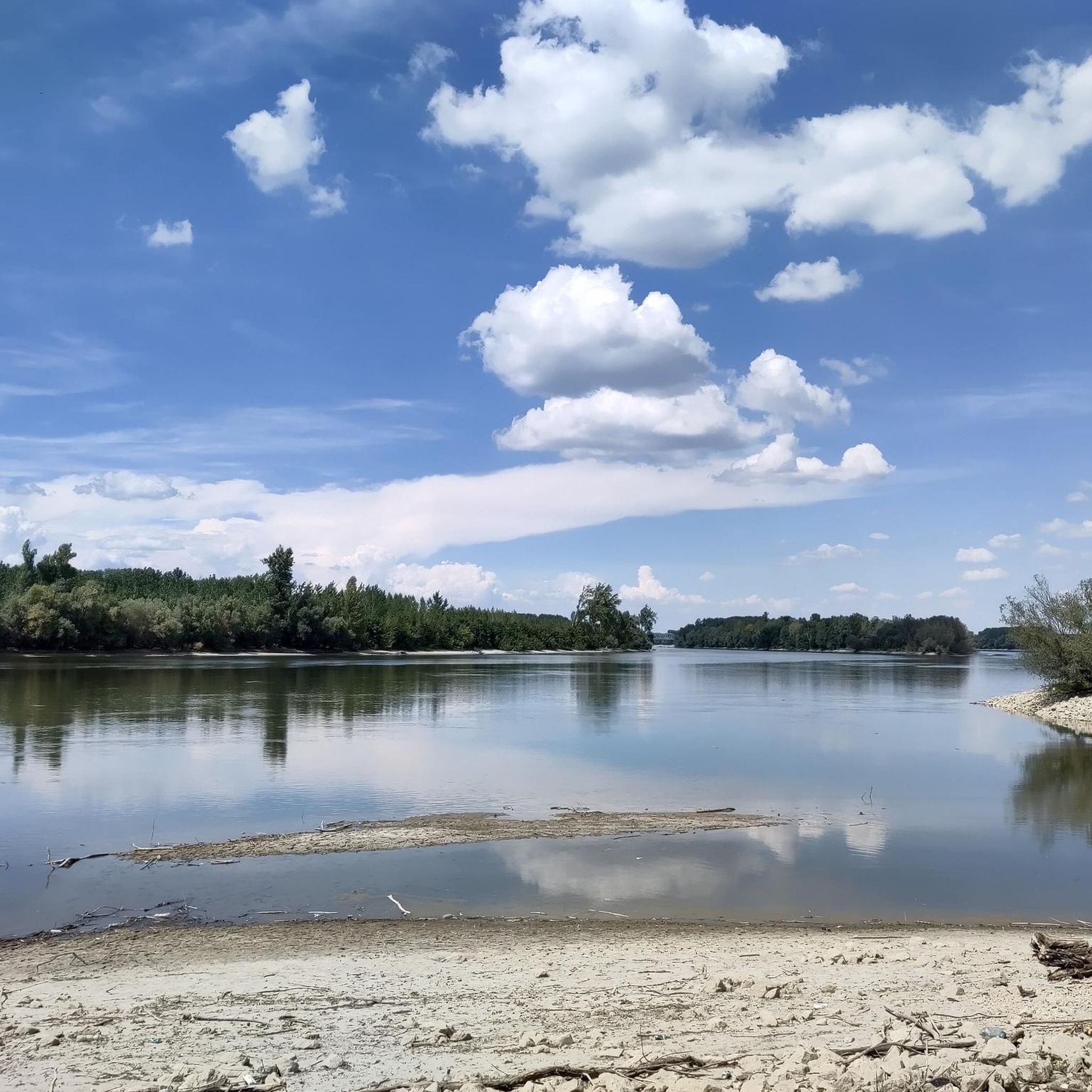
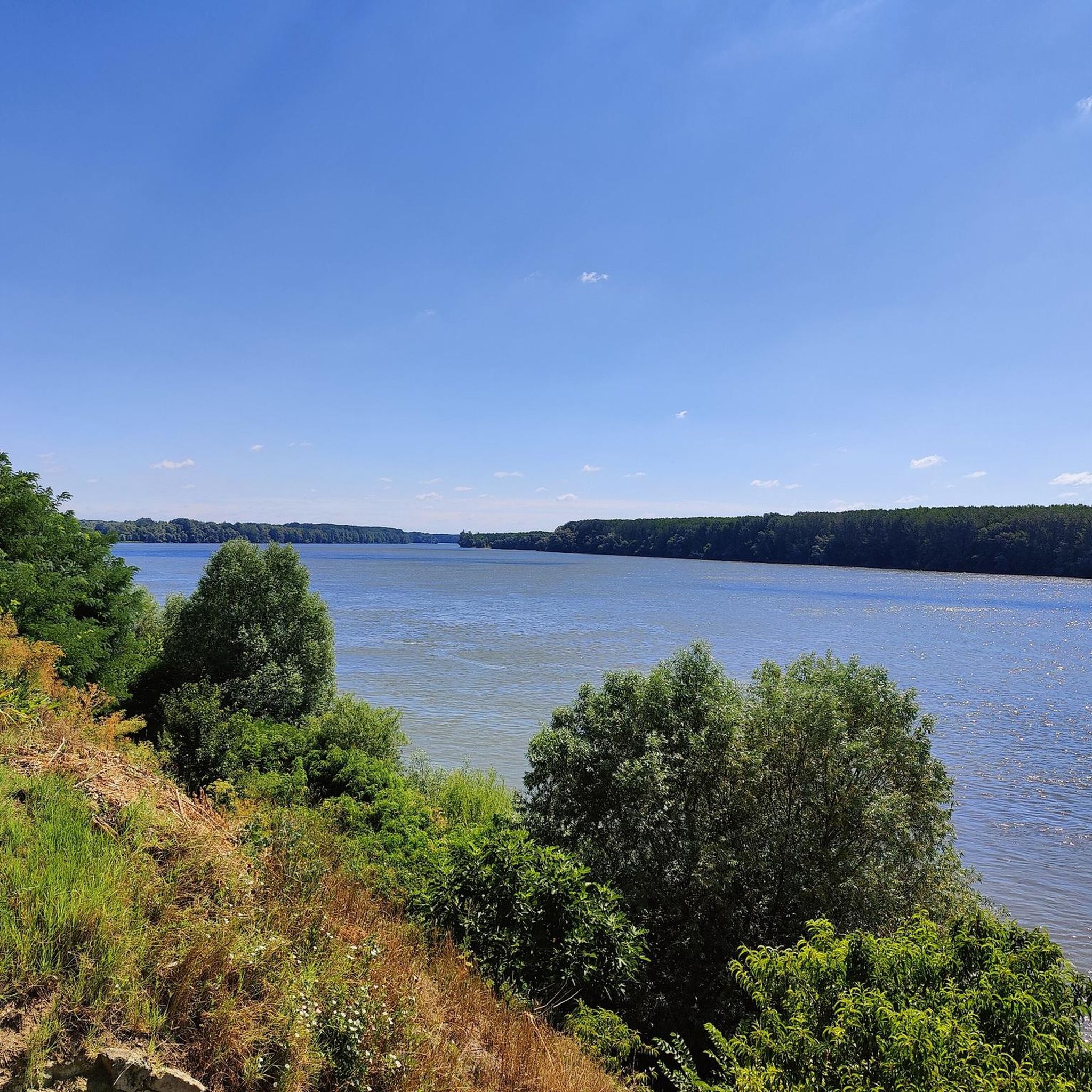
Jogging routes around Općina Trpinja are characterized by the flat, fertile agricultural plains of the Pannonian Basin. This largely level terrain makes it suitable for runners of all levels, minimizing strenuous inclines and allowing for consistent pacing. The landscape features expansive fields of maize, wheat, and sunflower, providing tranquil and scenic backdrops for running. The Vuka River also offers picturesque riverside paths, enhancing the natural features available for outdoor exercise.
Best jogging routes around Općina Trpinja
- The most popular jogging…
Last updated: July 1, 2026
28
runners
12.4km
01:17
30m
30m
Moderate run. Good fitness required. Mostly paved surfaces. Suitable for all skill levels.
17
runners
5.79km
00:36
40m
40m
Moderate run. Good fitness required. Mostly paved surfaces. Suitable for all skill levels.

Sign up for free
6
runners
6.39km
00:40
20m
20m
Moderate run. Good fitness required. Mostly paved surfaces. Suitable for all skill levels.
5
runners
9.21km
00:57
30m
30m
Moderate run. Good fitness required. Mostly paved surfaces. Suitable for all skill levels.
4
runners
7.13km
00:44
20m
20m
Moderate run. Good fitness required. Mostly paved surfaces. Suitable for all skill levels.
5
runners
10.8km
01:09
30m
30m
Moderate run. Good fitness required. Mostly paved surfaces. Suitable for all skill levels.
3
runners
10.4km
01:05
30m
30m
Moderate run. Good fitness required. Mostly paved surfaces. Suitable for all skill levels.
3
runners
10.4km
01:06
40m
40m
Moderate run. Good fitness required. Mostly paved surfaces. Suitable for all skill levels.
Get access to more routes and recommendations from other explorers.
Sign up for free
Already have an account?
Our route recommendations are based on thousands of hikes, rides, and runs completed by other people on komoot.
Start today with a free account
Your next adventure awaits.
Login or Signup
Popular around Općina Trpinja
Tips from the Community

The water tower can now also be climbed or driven on (elevator). In the first level an extensive documentation. The second level serves as a viewing platform.
0
0

The war damage to the water tower is being renovated and a museum is being made of it. A real landmark of the city of Vukovar
2
0

During the Balkan wars of the 90s, the water tower was shelled by the Serbs during the day, they tried to destroy it completely. At night, risking their lives, Croats climbed the tower and hoisted the Croatian flag, which was then shot down by the Serbs during the day. The Serbs did not succeed in collapsing the water tower. The remains of the tower remained as a memorial against the war.
1
1
Frequently Asked Questions
What kind of terrain can I expect on running routes in Općina Trpinja?
The running routes in Općina Trpinja are primarily characterized by the flat, fertile agricultural plains of the Pannonian Basin. This largely level terrain minimizes strenuous inclines, making it ideal for consistent pacing. You'll find expansive fields of maize, wheat, and sunflower, offering tranquil and scenic backdrops. Additionally, the Vuka River provides picturesque riverside paths, and the Bobota Canal also offers linear routes for exploration.
How many running routes are available in Općina Trpinja?
There are 12 dedicated running routes around Općina Trpinja documented on komoot. These routes offer a variety of distances and experiences across the region's flat landscape.
Are there any easy running routes suitable for beginners in Općina Trpinja?
While komoot categorizes most routes as moderate, the flat Pannonian Basin terrain means many trails are suitable for all skill levels and any fitness level, making them great for beginners. For example, the Dvorac Eltz loop from Vukovar is a moderate 3.6 miles (5.8 km) trail that can be completed in about 36 minutes, offering an accessible option.
Are there any circular running routes in the Općina Trpinja area?
Yes, many of the running routes in Općina Trpinja are circular, offering convenient start and end points. Examples include the Arheološki park Sopot loop from Vinkovci, a 7.7-mile (12.4 km) route, and the Stara Vuka loop from Vukovar, which is 4.0 miles (6.4 km).
What are some scenic running routes with viewpoints or natural features?
The region offers several scenic options. The Vukovar Water Tower loop from Vukovar provides views near the historic Vukovar Water Tower. Routes along the Vuka River, such as the Stara Vuka – Dvorac Eltz loop from Vukovar-Borovo Naselje, offer picturesque riverside paths. The vast agricultural plains themselves provide tranquil, open vistas.
Can I find longer running routes for more challenging runs?
Absolutely. For a more challenging run, consider the Vukovar Water Tower loop from Vukovar, which is a 12.3 miles (19.8 km) trail. This route offers a longer distance and varied terrain for those seeking a more extensive workout.
Are there any running routes that pass by historical sites or landmarks?
Yes, some routes incorporate historical or cultural points of interest. The Dvorac Eltz loop from Vukovar leads through urban and riverside landscapes, likely passing near the Eltz Manor. The Arheološki park Sopot loop from Vinkovci winds through the area surrounding an archaeological park, offering a glimpse into the region's past.
What is the best time of year for jogging in Općina Trpinja?
The flat terrain of Općina Trpinja makes it suitable for jogging throughout much of the year. Spring and autumn generally offer the most pleasant temperatures for outdoor activities. Summer can be warm, but early mornings or late evenings are ideal. Winter jogging is also possible, though conditions may vary.
Are there any running routes near Park šuma Adica?
Yes, the Stara Vuka – Adica loop from Mjesni odbor Lužac is a 6.4-mile (10.4 km) route that passes near Park šuma Adica, a natural setting that is likely suitable for jogging within its confines and offers a pleasant environment.
What do other runners enjoy most about jogging in Općina Trpinja?
Runners frequently appreciate the region's flat Pannonian Basin terrain, which allows for consistent pacing without strenuous inclines. The tranquil agricultural plains and picturesque riverside paths along the Vuka River are often highlighted for their scenic beauty and peaceful atmosphere, making for a relaxing and enjoyable running experience.
Are there options for shorter running routes?
Yes, if you're looking for a shorter run, the Dvorac Eltz loop from Vukovar is a good choice at 3.6 miles (5.8 km). Another option is the Stara Vuka loop from Vukovar, which is 4.0 miles (6.4 km).
Most popular routes around Općina Trpinja

Get inspired with the komoot mobile app


Explore more
Browse the best Running Trails & Routes in other regions.
