The best road cycling routes around okres Ústí nad Orlicí
4.5
(20)
1,098
riders
68
rides
Road cycling routes around okres Ústí nad Orlicí traverse a diverse landscape, ranging from plains in the west to the mountainous areas of the Orlické Mountains in the east. The region is characterized by extensive forests, river valleys carved by the Tichá Orlice and Třebovka rivers, and gently undulating sections. This varied terrain provides a range of road cycling experiences, from flat river paths to challenging mountain climbs.
Best road cycling routes around okres Ústí nad Orlicí
- The most popular…
Last updated: July 14, 2026
4.0
(1)
56
riders
55.2km
02:41
800m
800m
Moderate road ride. Good fitness required. Mostly well-paved surfaces and easy to ride.
37
riders
28.6km
01:24
420m
420m
Moderate road ride. Good fitness required. Mostly well-paved surfaces and easy to ride.

Sign up for free
31
riders
26.8km
01:23
400m
400m
Moderate road ride. Good fitness required. Mostly well-paved surfaces and easy to ride.
27
riders
106km
05:16
1,620m
1,620m
Hard road ride. Very good fitness required. Mostly well-paved surfaces and easy to ride.
30
riders
47.8km
02:16
650m
650m
Moderate road ride. Good fitness required. Mostly well-paved surfaces and easy to ride.
13
riders
64.6km
03:02
840m
840m
Moderate road ride. Good fitness required. Mostly well-paved surfaces and easy to ride.
18
riders
43.6km
02:19
260m
260m
Moderate road ride. Good fitness required. Some segments of this route may be unpaved and difficult to ride.
12
riders
52.3km
02:56
740m
740m
Moderate road ride. Good fitness required. Some segments of this route may be unpaved and difficult to ride.
15
riders
Moderate road ride. Great for any fitness level. Some segments of this route may be unpaved and difficult to ride.
9
riders
129km
06:21
1,790m
1,790m
Hard road ride. Very good fitness required. Mostly well-paved surfaces and easy to ride.
Get access to more routes and recommendations from other explorers.
Sign up for free
Already have an account?
Our route recommendations are based on thousands of hikes, rides, and runs completed by other people on komoot.
Start today with a free account
Your next adventure awaits.
Login or Signup
Popular around okres Ústí nad Orlicí
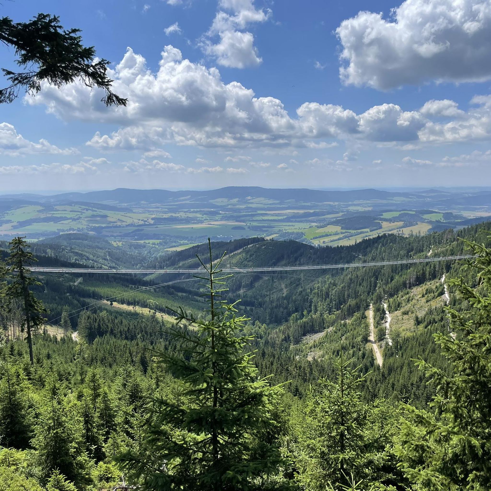
Road Cycling Routes around Králický Sněžník
Road Cycling Routes in Přírodní Park Suchý Vrch - Buková Hora

Road Cycling Routes in Přírodní Park Lanškrounské Rybníky
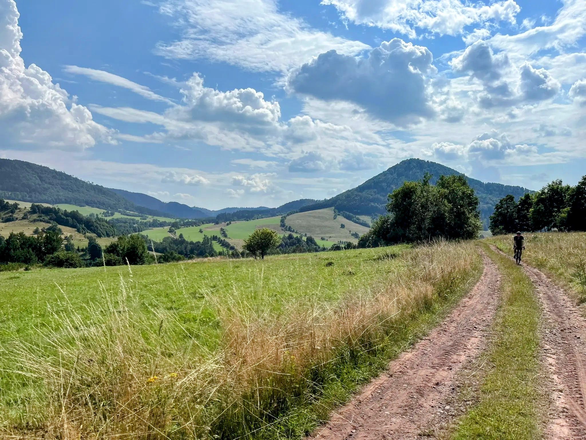
Sudetes Without Borders - Ultra Sudety Gravel Race (USGR)
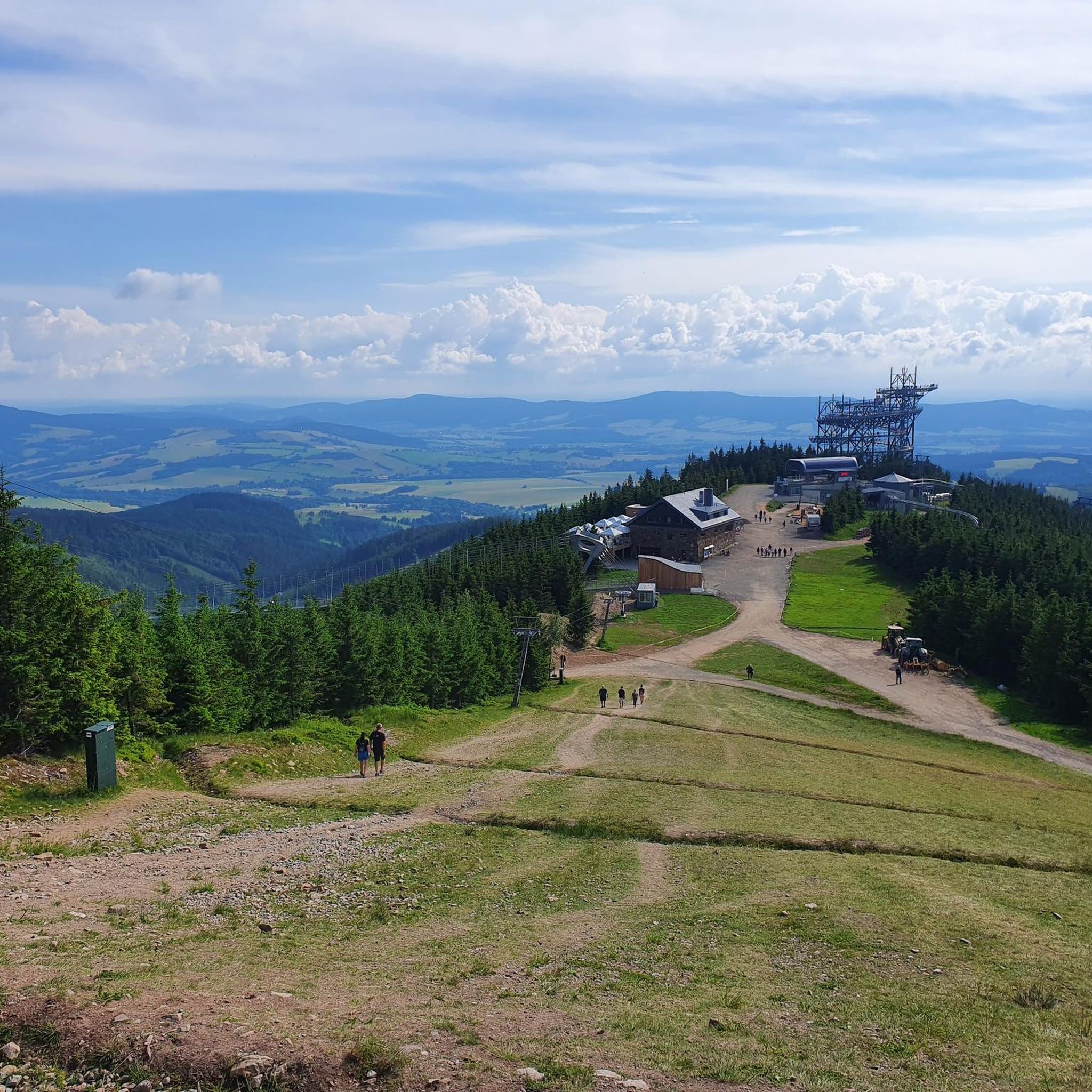
Hiking around okres Ústí nad Orlicí
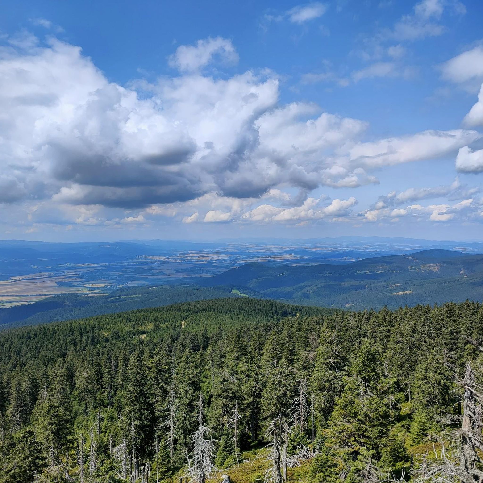
MTB Trails around okres Ústí nad Orlicí
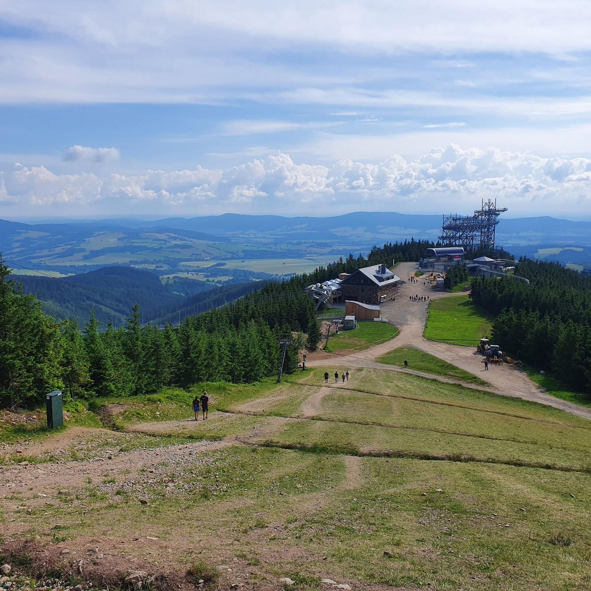
Cycling around okres Ústí nad Orlicí
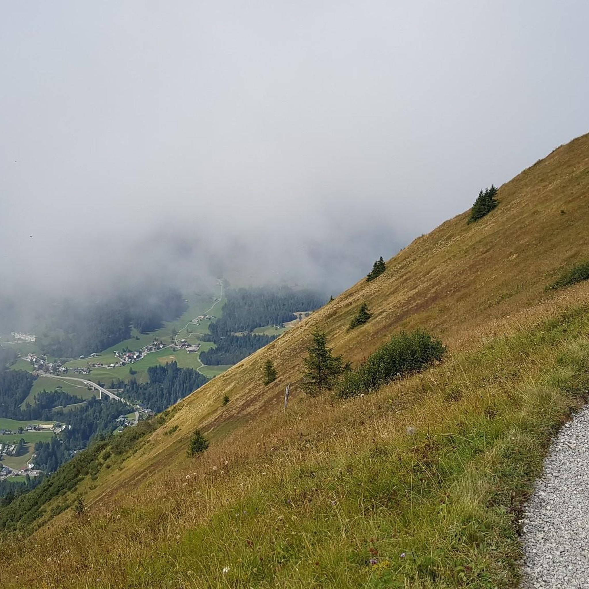
Mountain Hikes around okres Ústí nad Orlicí
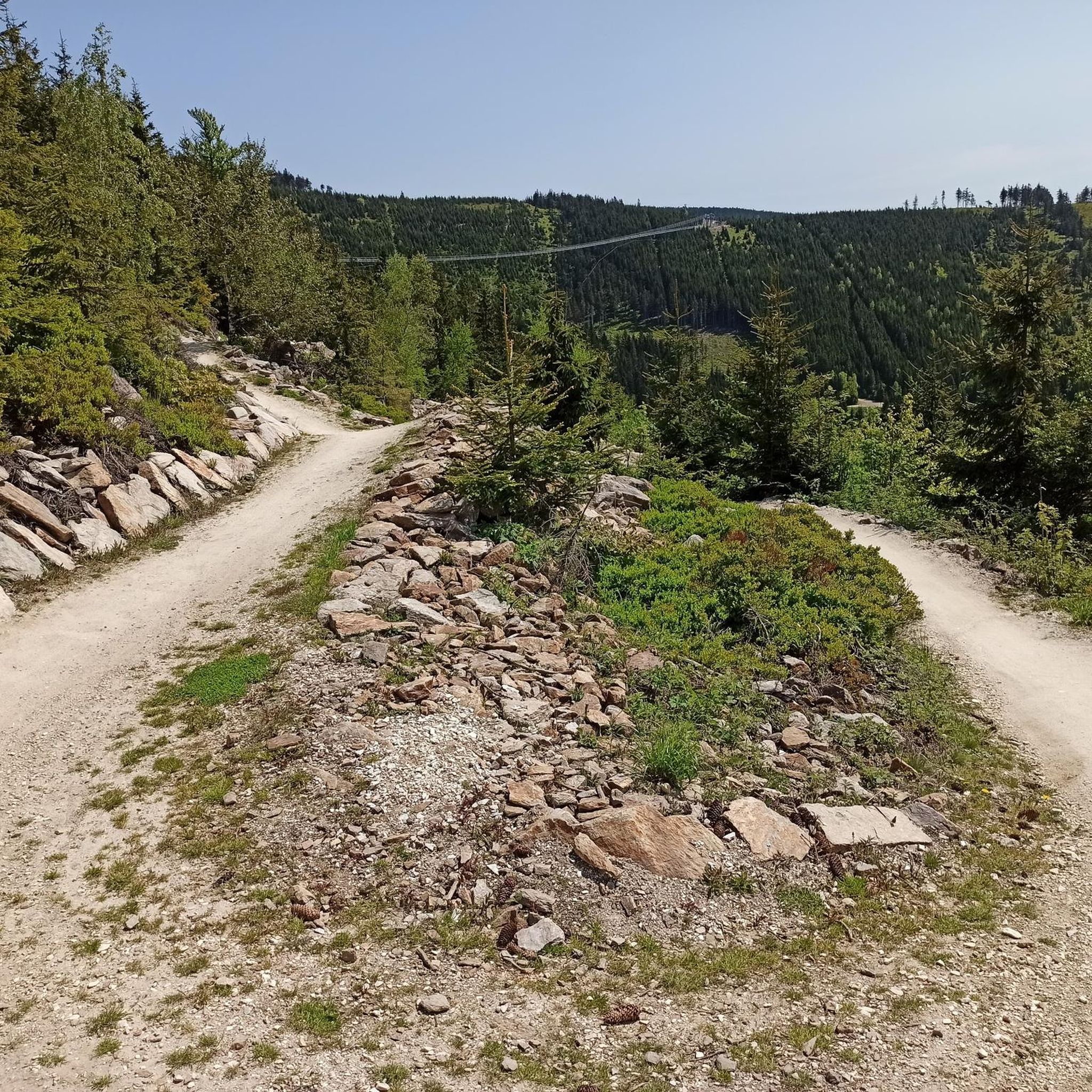
Running Trails around okres Ústí nad Orlicí

Gravel biking around okres Ústí nad Orlicí
Other adventures around okres Ústí nad Orlicí

Tips from the Community

Simple square with everything that goes with it, town hall, post office, shops and church in the background
0
0
Also nice to look at at night, but there's nothing going on, so it's easy to get through by bike.
0
0

From the "last" parking lot to the entrance to the cave there is an asphalt road which will take ~30 minutes.
1
0

The ascent is 7.2 km long with a 250 m elevation gain. Average gradient 3.6%, rather uniform. Apart from the first 120 m, which are paved, the asphalt is new all the way to the border with the Czech Republic.
2
0
A short but intense climb to the Puchaczówka pass from the east side of Sienna. In less than 2 kilometers we overcome 140 m of elevation with an average gradient of 7.7%. Good surface.
2
0
The ascent to Przełęcz Puchaczówka from Marianówka near Idzików is 8.6 km long, with 490 m of elevation gain, giving an average gradient of 5.6%. The first half of the ascent is slightly gentler, while the second half has sections of up to 12%. You can count on views in the upper sections, and in the first part you also have to be more careful with cars, because the road is quite narrow. Good quality asphalt.
2
0

My TIP: The following book provides detailed descriptions of the hikes in the Adršpach-Teplice Rocks, Broumov Region, Eagle Mountains & Jeseníky Mountains, and the entire region: Adršpach-Teplice Rocks - Eagle Mountains & Jeseníky Mountains A travel guide for Bohemia & Moravia with travel & hiking sections for: Adršpach-Teplice Rocks & Broumov Walls Table Mountains National Park - with the Wild Holes (Błędne Skały) Eagle Mountains, Jeseníky Mountains with Kłodzko Sněžník and with 43 hikes from Trutnov on the edge of the Giant Mountains to Ostrava in Moravian Silesia and from Olomouc to Hradec Králové & Pardubice ISBN: 978-3-9816577-5-3 Information about the book & the opportunity to Order: www.reise-karhu.de/reisebuecher/adersbacher-felsen-adlergebirge.html
0
0
My TIP: The following book provides detailed descriptions of the hikes in the Adršpach-Teplice Rocks, Broumov Region, Eagle Mountains & Jeseníky Mountains, and the entire region: Adršpach-Teplice Rocks - Eagle Mountains & Jeseníky Mountains A travel guide for Bohemia & Moravia with travel & hiking sections for: Adršpach-Teplice Rocks & Broumov Walls, Table Mountains National Park - with the Wild Holes (Błędne Skały), Eagle Mountains, Jeseníky Mountains with Kłodzko Sněžník Mountain and with 43 hikes from Trutnov on the edge of the Giant Mountains to Ostrava in Moravian Silesia and from Olomouc to Hradec Králové & Pardubice Information about the book & ordering: www.reise-karhu.de/reisebuecher/adersbacher-felsen-adlergebirge.html
0
0
Frequently Asked Questions
How many road cycling routes are available in the Ústí nad Orlicí District?
There are over 70 road cycling routes documented in the Ústí nad Orlicí District, catering to various skill levels. These include routes ranging from easy to difficult, with the majority being moderate. More than 450 road cyclists have already explored this diverse terrain using komoot.
What kind of terrain can I expect when road cycling in the Ústí nad Orlicí District?
The Ústí nad Orlicí District offers a diverse road cycling experience, from the plains in the west to the mountainous areas of the Orlické Mountains in the east. You'll find extensive forests, gently undulating sections, and picturesque river valleys carved by the Tichá Orlice and Třebovka rivers. This varied landscape provides options for both challenging climbs and more relaxed rides.
Are there road cycling routes suitable for beginners or families in the region?
Yes, the district offers routes suitable for beginners and families, particularly those that follow the picturesque valleys of the Tichá Orlice and Třebovka rivers. These paths are known for being scenic and active experiences, often with hard surfaces. While many routes are moderate, there are at least 2 routes specifically rated as easy, providing gentler options for those new to road cycling or cycling with children.
What are some notable natural features or landmarks I can see along road cycling routes?
The region is rich in natural beauty and historical sites. Cyclists can encounter the dramatic rocky gorge of Zemská brána, the highest peak of the Orlické Mountains, Velká Deštná, and the Králický Sněžník Summit. You might also pass by the largest body of water in the district, Pastviny Reservoir, or explore various castle ruins like Lanšperk, Žampach, Potštejn, and Litice nad Orlicí.
Are there any challenging road cycling routes for experienced riders?
Absolutely. The mountainous areas, particularly within the Orlické Mountains, offer challenging climbs and significant elevation gains. For instance, the route Prostřední vrch [Červená Voda] – Sky Bridge 721 loop from Tatenice is a difficult 107.7 km route with over 1600 meters of elevation gain. There are 22 routes rated as difficult, providing ample challenge for advanced cyclists.
What do other road cyclists enjoy most about road cycling in the Ústí nad Orlicí District?
The area is highly rated by the komoot community, with an average score of 4.0 stars. Cyclists often praise the diverse terrain, which offers a mix of flat river paths and demanding mountain climbs, as well as the extensive forests and scenic river valleys. The variety ensures there's something for every preference.
Are there circular road cycling routes available?
Yes, many of the road cycling routes in the Ústí nad Orlicí District are designed as loops, allowing you to start and finish at the same point. Examples include the popular Vlčí vrch [Strážná] loop from Jamné nad Orlicí and the PR Selský les loop from Lanškroun, which are both moderate circular routes.
What is the best time of year for road cycling in the Ústí nad Orlicí District?
The best time for road cycling is generally during the warmer months, from spring through autumn. During summer, cyclobuses operate in the Orlické Mountains, transporting bikers to elevated starting points, which can be a great option for tackling higher elevations without an initial climb. Always check local weather conditions before heading out.
Can I combine road cycling with other outdoor activities or attractions?
Absolutely. The district is a hub for outdoor adventure. You can visit the popular resort area of Dolní Morava, which features the Sky Walk Observation Tower, Sky Bridge 721, and a Mammoth Alpine Coaster. There are also several bike parks nearby, such as Bike Park Peklák, if you're looking to diversify your cycling experience.
Is public transport available for cyclists in the Ústí nad Orlicí District?
During the summer months, cyclobuses operate in the Orlické Mountains, providing a convenient way to transport bikes and riders to elevated starting points. This can be particularly useful for accessing routes with significant climbs or for planning point-to-point rides. For general public transport, it's advisable to check with Czech Railways for bike transport options on trains.
Are there any specific facilities or services for cyclists in the region?
The 'Orlické Cyklo and In-line Kingdom' offers tens of kilometers of well-maintained trails with hard surfaces suitable for road bikes. Additionally, popular areas like Dolní Morava provide a bike school for various skill levels. While specific bike-friendly cafes or accommodation are not detailed, the region's focus on cycling suggests a growing infrastructure to support visitors.
Where can I find parking for road cycling routes in the Ústí nad Orlicí District?
Many routes start from towns and villages within the district, such as Jamné nad Orlicí, Lanškroun, Výprachtice, and Ústí nad Orlicí itself. These locations typically offer parking facilities. It's recommended to check the specific starting point of your chosen route for detailed parking information.
Most popular routes around okres Ústí nad Orlicí
Most popular attractions around okres Ústí nad Orlicí

Get inspired with the komoot mobile app


Didn’t find what you were looking for?
Check out more Road cycling routes throughout okres Ústí nad Orlicí below and find the perfect route in your destination.
Explore more
Browse the best Road cycling routes in other regions.
