The best MTB trails around Gieleroth
4.6
(1551)
3,579
riders
392
rides
Mountain biking around Gieleroth offers access to the diverse landscapes of the Westerwald region, characterized by rolling hills, dense forests, and river valleys. This area provides a varied backdrop for mountain bike trails, from challenging singletracks to serene forest paths. The region's topography ensures a wide range of terrain for all skill levels. Riders can explore routes winding through woodlands and along waterways, experiencing the natural features of Rhineland-Palatinate.
Best mountain bike trails around Gieleroth
- The most popular mountain bike…
Last updated: October 8, 2026
4.7
(39)
46
riders
35.2km
02:35
370m
370m
Moderate mountain bike ride. Good fitness required. Suitable for all skill levels.
4.7
(6)
7
riders
24.1km
01:51
280m
280m
Easy mountain bike ride. Great for any fitness level. Suitable for all skill levels.

5.0
(2)
10
riders
37.6km
02:41
420m
420m
Moderate mountain bike ride. Good fitness required. Advanced riding skills necessary.
5.0
(5)
5
riders
24.1km
01:46
340m
340m
Moderate mountain bike ride. Good fitness required. Suitable for all skill levels.
5.0
(6)
5
riders
45.8km
02:57
500m
500m
Moderate mountain bike ride. Good fitness required. Advanced riding skills necessary.
Get access to more routes and recommendations from other explorers.
Already have an account?
Our route recommendations are based on thousands of hikes, rides, and runs completed by other people on komoot.
Start today with a free account
Your next adventure awaits.
Tips from the Community

Idyllic mountain hut for hikers and cyclists.
0
0

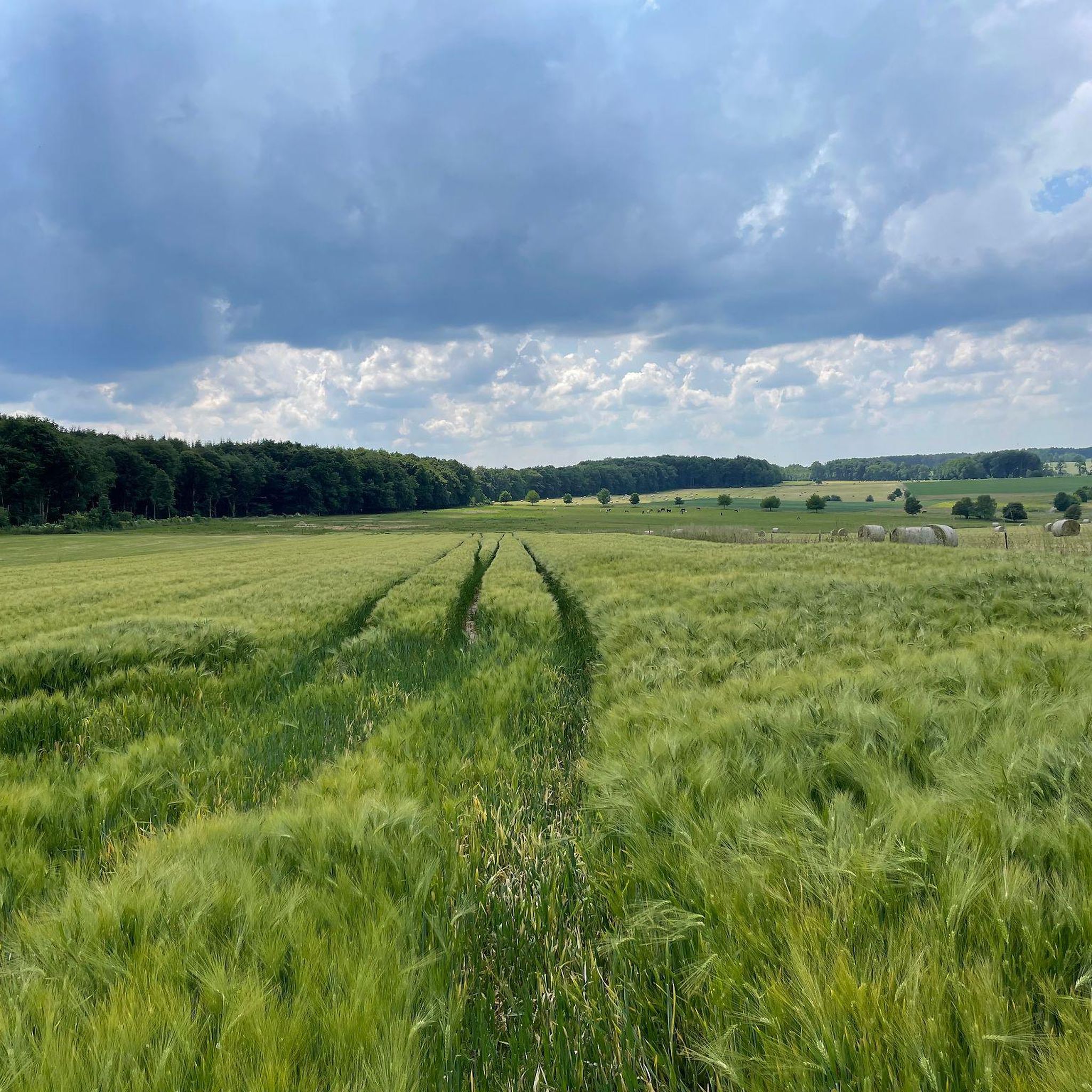
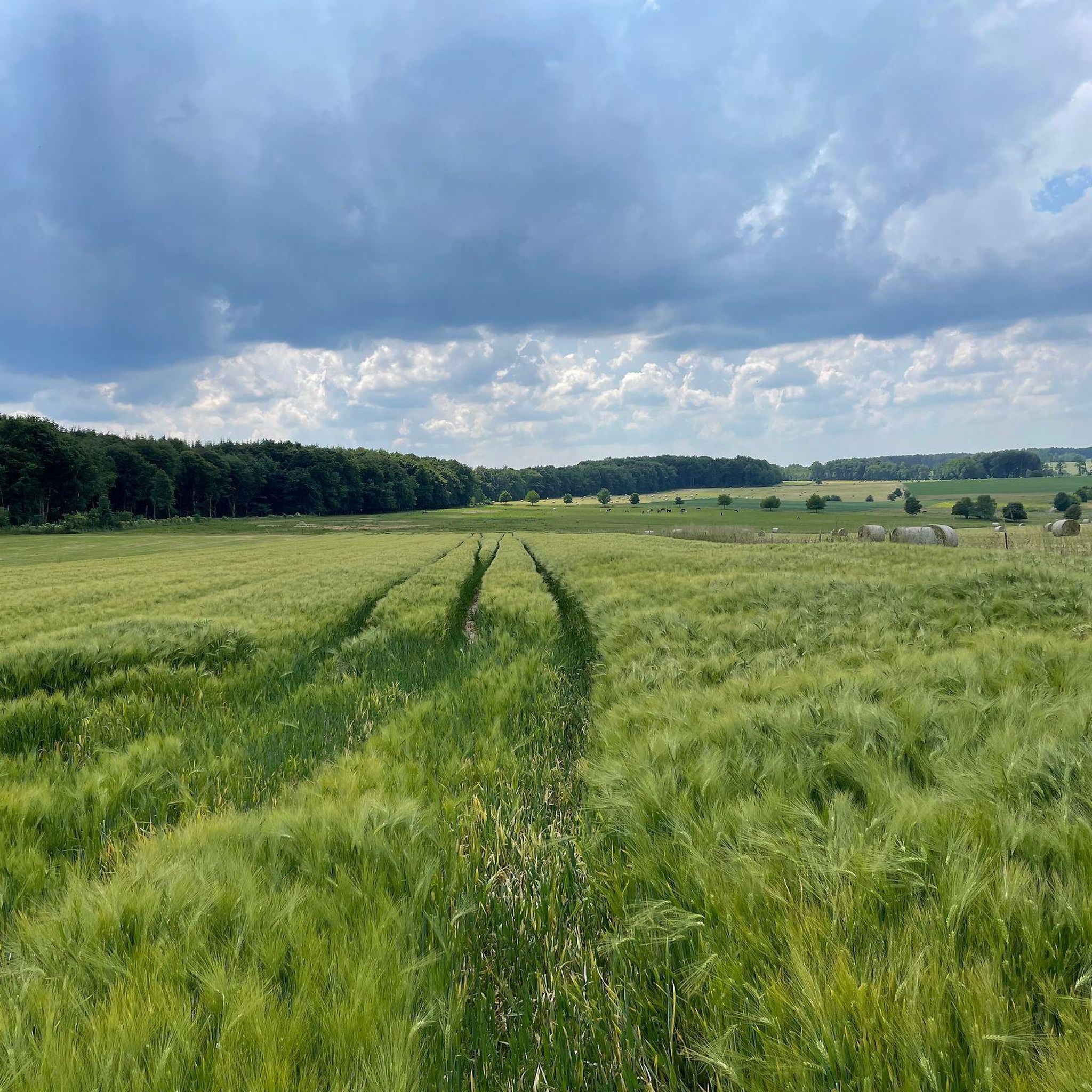
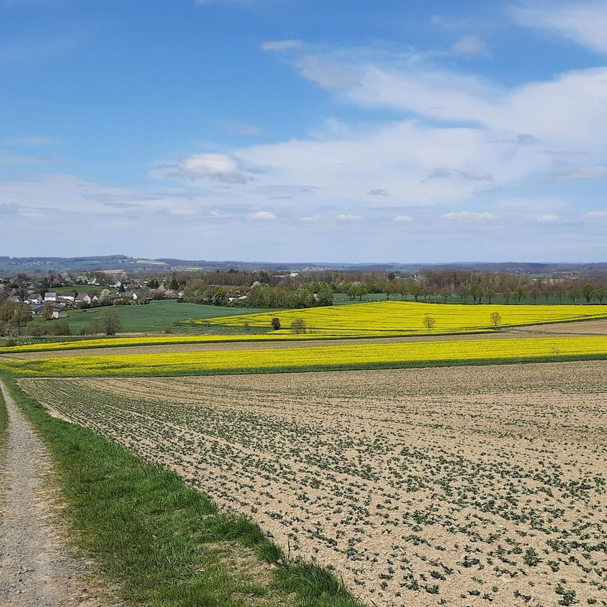
View from the field towards the town
0
0

beautiful old church that is not always open
0
0

beautifully situated campsite with lake view
1
0

For the big thirst
0
0

Very nice cycle path, unfortunately with very rough gravel 🥺
1
0

Beautiful view of the pond in every season.
1
0

Top cycle path and also safe due to the structural demarcation from the B8.
0
0
Frequently Asked Questions
How many mountain bike trails are there around Gieleroth?
Gieleroth and its surrounding areas offer a wide selection of mountain bike trails. There are nearly 400 routes available, catering to various skill levels, from easy forest paths to more demanding singletracks.
What kind of terrain can I expect on the mountain bike trails around Gieleroth?
The terrain around Gieleroth is diverse, characterized by the rolling hills, dense forests, and river valleys of the Westerwald region. You'll find a mix of challenging singletracks, exhilarating descents, and serene forest paths. The proximity to the Palatinate Forest and Eifel also means varied landscapes, including unique red sandstone formations and volcanic features.
Are there easy mountain bike trails suitable for beginners or families?
Yes, Gieleroth offers a good selection of easy mountain bike trails. Approximately 72 routes are categorized as easy, providing relaxed rides through woodlands. An example is the Trail Near Krambergsmühle – Stone Bridges in Wiedbachtal loop from Borod, which is just under 20 km long with moderate elevation changes.
Are there challenging mountain bike routes for experienced riders?
Absolutely. For experienced riders seeking a challenge, there are 18 difficult routes and over 300 moderate routes. These trails often feature more technical sections and significant elevation changes. The region's diverse topography, including parts of the Westerwald and nearby Eifel, provides plenty of demanding singletracks and descents.
What do other mountain bikers enjoy most about mountain biking in Gieleroth?
The mountain bike trails around Gieleroth are highly rated by the komoot community, with an average score of 4.6 stars from over 1300 reviews. Riders frequently praise the varied terrain, the beautiful forest landscapes, and the well-maintained paths that offer a mix of challenging and relaxed riding experiences.
Are there circular mountain bike trails available?
Many of the mountain bike routes around Gieleroth are designed as loops, allowing you to start and end at the same point. For example, the View of Niederwambach – Pond near Alberthofen loop from Gieleroth is a moderate 24 km circular route offering scenic views.
Can I find mountain bike trails with scenic views around Gieleroth?
Yes, the region is rich in scenic viewpoints. The trails often lead through deep beech forests and along river valleys, offering impressive vistas. Look for routes that pass through the Wied Valley or offer views into the Nister valley, such as from viewpoints like "Weltende" (World's End).
Are there any interesting landmarks or attractions along the mountain bike trails?
Yes, the area features several points of interest. You can explore natural attractions like the Limbach Gorge (Little Nister Gorge) or the Wied Valley. Some routes might also pass by historical sites or unique rock formations.
Are there places to eat or drink near the mountain bike trails?
Yes, you can find places to refuel. For instance, the Wilhelmsteg Café & Beer Garden is a popular spot, and there are various huts and shelters like the Paul Gerhard Shelter that can serve as rest stops.
Is parking available near the mountain bike trails in Gieleroth?
Parking is generally available at common starting points for trails in and around Gieleroth, particularly in the larger villages or designated recreational areas. It's advisable to check specific route descriptions on komoot for detailed parking information for your chosen trail.
What are the typical elevation changes on Gieleroth mountain bike trails?
Elevation changes vary significantly depending on the trail's difficulty. Easy routes might have around 200-300 meters of ascent, while moderate trails can feature 300-700 meters of climbing. For example, the Marother Weiher – Marother Forest Lake loop from Borod has about 415 meters of elevation gain over 37.6 km.
What is the best time of year for mountain biking in Gieleroth?
The spring and autumn months are generally ideal for mountain biking in Gieleroth. The weather is typically mild, and the natural scenery, with blooming flowers or vibrant fall foliage, is particularly beautiful. Summer can also be great, especially in the shaded forest sections, while winter riding depends on snow and ice conditions.
Most popular routes around Gieleroth
Most popular attractions around Gieleroth

Get inspired with the komoot mobile app


Explore more
Browse the best MTB trails in other regions.
