The best MTB trails around Ballymote-Tubbercurry Municipal District
5.0
(3)
130
riders
11
rides
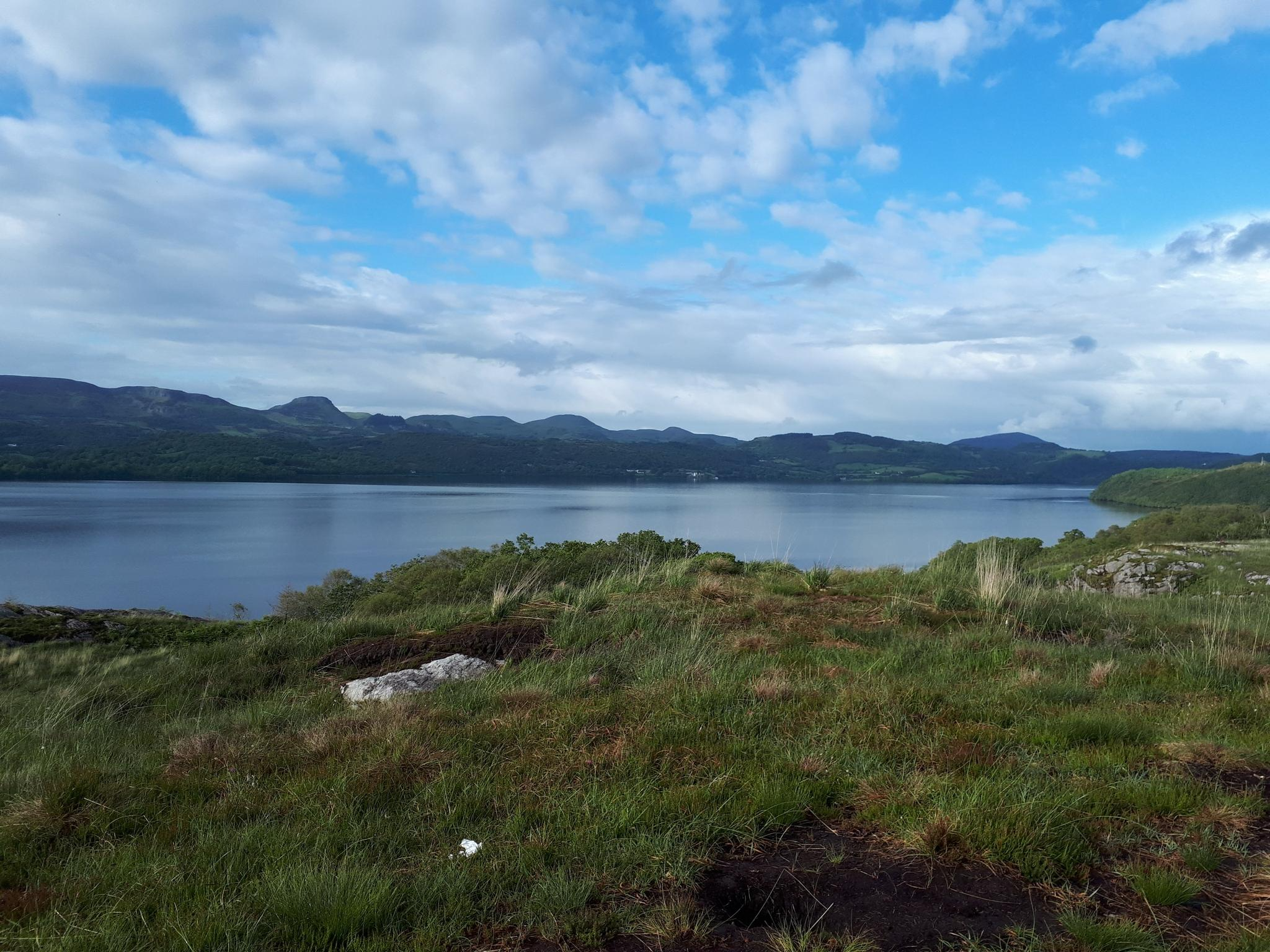
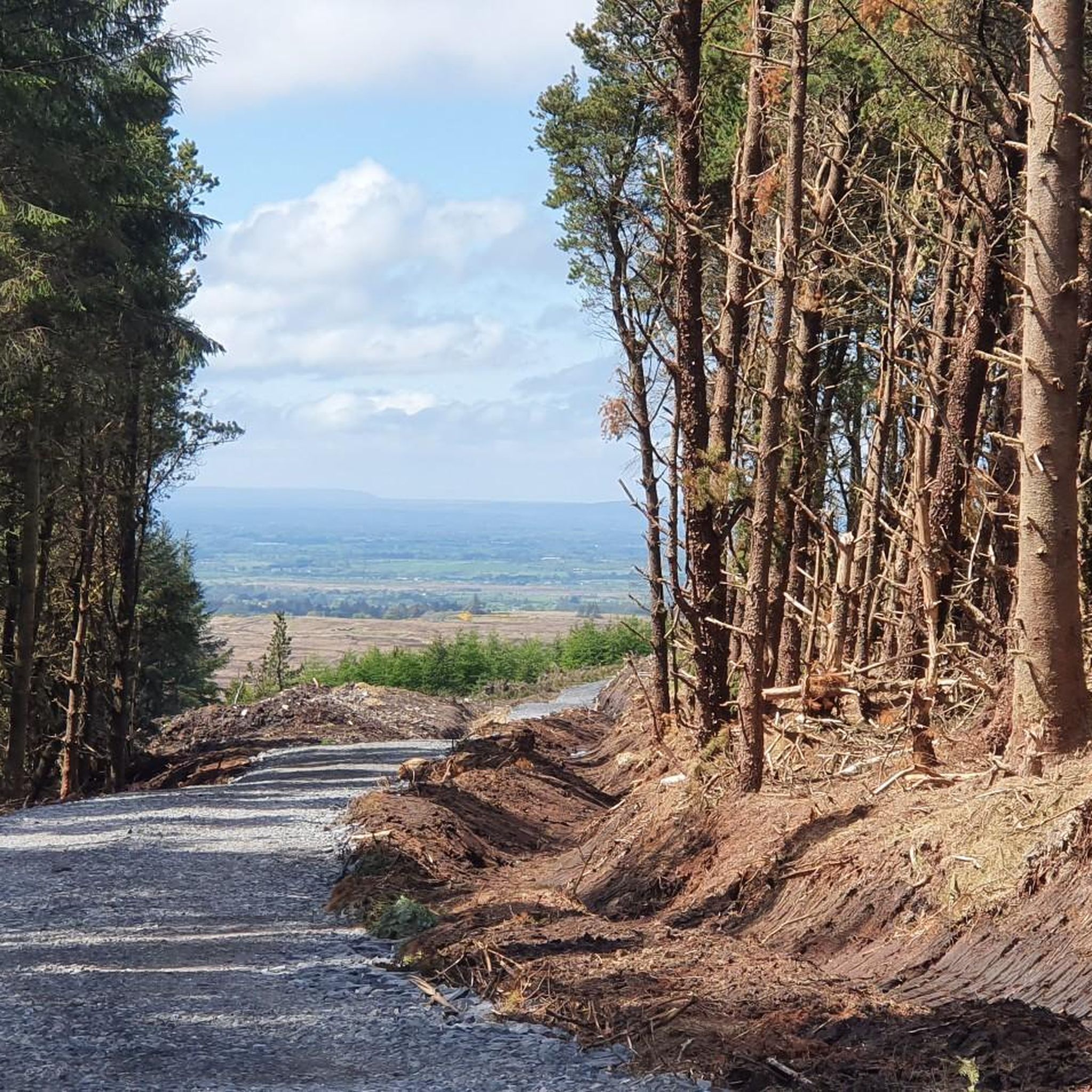
Mountain biking around Ballymote-Tubbercurry Municipal District offers a diverse landscape characterized by the undulating terrain of the Ox Mountains and picturesque Lough Talt. The region features a network of dedicated mountain bike trails that wind through forests and heathlands. Riders can expect varied conditions, from forest road climbs to technical singletrack sections, providing a dynamic environment for outdoor exploration.
Best mountain bike trails around Ballymote-Tubbercurry Municipal District
- The most popular mountain bike trail is Bunnyconnellan Loop, a 15.1 miles…
Last updated: July 7, 2026
24.3km
01:43
280m
280m
Moderate mountain bike ride. Great for any fitness level. Advanced riding skills necessary.
27.0km
01:45
160m
170m
Easy mountain bike ride. Great for any fitness level. Suitable for all skill levels.

Sign up for free
32.2km
01:44
110m
110m
Easy mountain bike ride. Great for any fitness level. Suitable for all skill levels.
27.7km
01:46
90m
90m
Moderate mountain bike ride. Great for any fitness level. Advanced riding skills necessary.
5.0
(1)
74
riders
21.8km
01:53
410m
410m
Moderate mountain bike ride. Good fitness required. Suitable for all skill levels.
9
riders
5.91km
00:35
110m
110m
Easy mountain bike ride. Great for any fitness level. Suitable for all skill levels.
6
riders
10.2km
00:38
50m
50m
Easy mountain bike ride. Great for any fitness level. Suitable for all skill levels.
Get access to more routes and recommendations from other explorers.
Sign up for free
Already have an account?
Our route recommendations are based on thousands of hikes, rides, and runs completed by other people on komoot.
Start today with a free account
Your next adventure awaits.
Login or Signup
Popular around Ballymote-Tubbercurry Municipal District
Sligo Way – Hiking through Yeats Country

Discover Ireland's past – historical walks on the Emerald Isle
Cycling around Ballymote-Tubbercurry Municipal District
Road Cycling Routes around Ballymote-Tubbercurry Municipal District
Hiking around Ballymote-Tubbercurry Municipal District
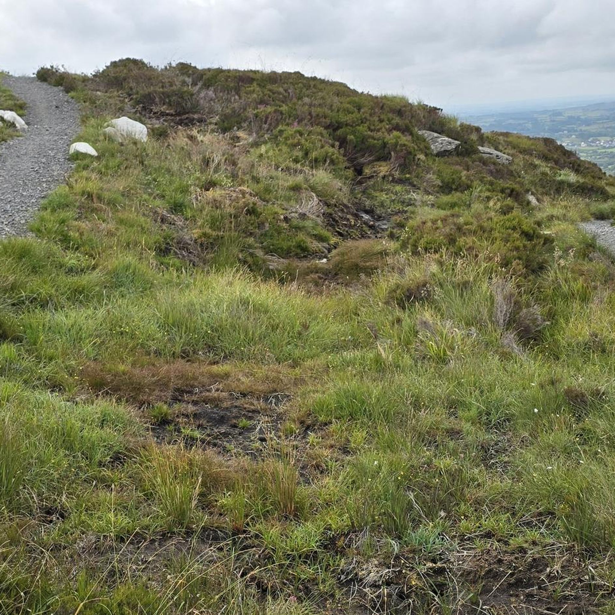
Running Trails around Ballymote-Tubbercurry Municipal District
Other adventures around Ballymote-Tubbercurry Municipal District


Tips from the Community

The cycle path through Belleek Woods takes you through a lush, historic forest along the banks of the River Moy. As you cycle beneath the dense tree canopy, you'll pass unique sights such as the Crete Boom (a concrete ship), an old ice house, and a mysterious 19th-century famine wall. This paved forest path is part of the Monasteries of the Moy Greenway and offers a safe, natural passage towards the historic abbeys further on. Keep an eye out for the rare red squirrels that thrive here.
4
0

Close to Ballygawley Lough, this secluded path takes you around Union Rock, Ideal for hikers and cyclists.
0
0


A lovely little tour in Ballina along the mouth of the Moy River. We really enjoyed the section with the many little elf houses hidden in the trees. A great route if you're traveling with children. Provides plenty of entertainment (;-). There's also a coffee stop at the castle hotel to finish.
2
0

Sitting in the quiet village of Banada lies a quiet park built as a symbol of cross-border reconciliation. The Banada peace gardens were opened in 1997 by Nobel Peace Price winner John Hume and continued to grow over the last 19 years, brining year round visitors. There are benches making it a perfect spot to stop, take in the beautiful gardens and refuel ready for the rest of your ride.
1
0
Lough Talt sits in the Ox mountains and forms part of the Lough Hoe Bog Special Area of conservation, an area of montane bogland and oligotrophic lakes. The lake is home to many endangered and rare species including the Arctic char fish, the European eel and white-clawed crayfish. You can also spot swans, ducks and dippers. If you're lucky you may spot the remaining four pairs of black-headed gulls.
2
0

Nice wooded walk, with parts along the lovely river Moy. See the concrete ship, long abandoned on its mooring.
2
0
This quiet woodland extends for 6 miles and has a beautiful tree canopy over the tarmac. There is plenty of wildlife to keep your eye out for including Foxes, Hares, Pine Martins, Red Squirrels, Herons, Ducks, Wagtails and Robins.
2
0
Frequently Asked Questions
How many mountain bike trails are available in Ballymote-Tubbercurry Municipal District?
There are 12 mountain bike trails available in the Ballymote-Tubbercurry Municipal District. These routes offer a mix of easy and moderate options, catering to various skill levels.
What kind of terrain and difficulty can I expect on mountain bike trails in this region?
The Ballymote-Tubbercurry Municipal District offers a diverse landscape for mountain biking, characterized by the undulating terrain of the Ox Mountains and picturesque Lough Talt. You'll find a mix of forest roads and singletrack, with routes ranging from easy to moderate. There are 5 easy trails and 7 moderate trails, ensuring options for both beginners and more experienced riders.
Are there any family-friendly mountain bike trails in the area?
Yes, there are several easy mountain bike trails suitable for families. For example, the Glenree River loop and the Belleek Woods – Belleek Wood loop from Ballina are both rated as easy and offer enjoyable rides for a family outing.
Are there any circular mountain bike routes in Ballymote-Tubbercurry Municipal District?
Many of the mountain bike routes in the district are circular, allowing you to start and end at the same point. Examples include the popular Bunnyconnellan Loop, the From Banada Peace Garden to Charlestown loop, and the Union Rock loop from Glennagoolagh.
What interesting natural features or historical sites can I explore near the mountain bike trails?
The region is rich in natural beauty and historical significance. You can explore the dramatic limestone caves at the Caves of Keash, or visit the ancient Carrowkeel Neolithic Cemetery, which offers panoramic views. The picturesque Lough Talt, nestled in the Ox Mountains, is also a notable natural landmark.
What do other mountain bikers enjoy most about mountain biking in Ballymote-Tubbercurry Municipal District?
The area is highly rated by the komoot community, with an average score of 5.0 stars. Reviewers often praise the varied terrain, which includes forest paths and heathlands, and the scenic views of the Ox Mountains and Lough Talt. The network offers options for different ability levels, making it enjoyable for a wide range of riders.
Are there any advanced or challenging mountain bike routes in the district?
While the komoot data for this specific guide shows routes up to moderate difficulty, the broader Ballymote-Tubbercurry Municipal District, particularly the Coolaney Mountain Bike Trails, is known for offering more challenging options. These include blue, red, and black grade trails with technical rocky sections and tight descents for advanced riders. Within this guide, the most challenging routes are rated as moderate, such as the View of Sligo Bay loop from Carrownacleigha.
What is the best time of year for mountain biking in Ballymote-Tubbercurry Municipal District?
The region's climate means that mountain biking is generally enjoyable from spring through autumn. Conditions can vary, so it's always advisable to check local weather forecasts before heading out. The varied terrain, including forest paths, can offer some shelter, but exposed areas might be more affected by wind and rain.
Is there parking available near the mountain bike trails?
Specific parking information varies by trail. Many trailheads, especially for established routes like those mentioned in the Coolaney Mountain Bike Trails area, typically have designated parking facilities. For routes starting in or near towns, public parking options are usually available. It's recommended to check the individual route details on komoot for specific parking recommendations.
Can I bring my dog on the mountain bike trails?
While many outdoor areas in Ireland are dog-friendly, policies can vary depending on the specific trail and land ownership (e.g., Coillte forests, private land). It's best to check local signage at the trailhead or specific guidelines for the area you plan to visit to ensure dogs are permitted and if they need to be on a leash.
Are there any cafes or pubs near the mountain bike trails for refreshments?
The Ballymote-Tubbercurry Municipal District includes several towns and villages where you can find cafes and pubs. Depending on your chosen route, you'll likely find options for refreshments in nearby settlements like Ballymote, Tubbercurry, or Ballina. For example, routes like the Balleek Woods and Ballina loop are close to amenities in Ballina.
What is the longest mountain bike trail listed in this guide?
The longest mountain bike trail featured in this guide is the Balleek Woods and Ballina loop, which covers a distance of approximately 32.2 kilometers (20 miles).
Most popular routes around Ballymote-Tubbercurry Municipal District
Most popular attractions around Ballymote-Tubbercurry Municipal District

Get inspired with the komoot mobile app


Explore more
Browse the best MTB trails in other regions.
