The best road cycling routes around Sligo Municipal Borough District
4.3
(50)
1,532
riders
29
rides
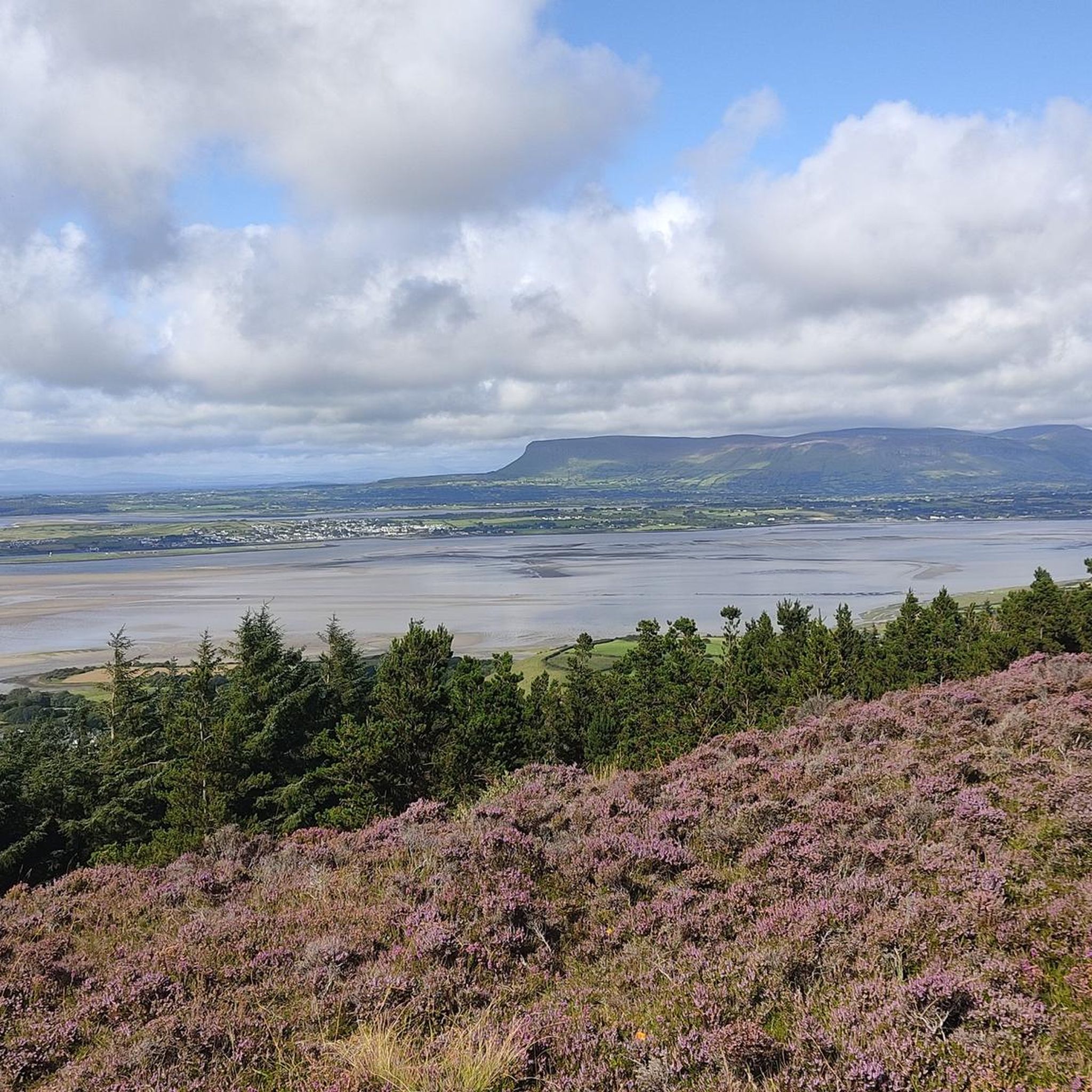
Road cycling around Sligo Municipal Borough District offers diverse terrain, characterized by a rugged Atlantic coastline, serene lakes, and an arc of mountains and hills. The region features distinctive flat-topped limestone plateaus like Benbulben and the Ox Mountains, providing dramatic backdrops and varied elevation. Cyclists can explore routes along the coast, through woodlands, and around picturesque lakes such as Lough Gill. The landscape provides a mix of flat sections and challenging climbs, catering to different road cycling preferences.
Best road…
Last updated: July 14, 2026
6
riders
47.5km
01:57
290m
290m
Easy road ride. Great for any fitness level. Mostly well-paved surfaces and easy to ride.
101
riders
99.8km
04:11
680m
680m
Moderate road ride. Good fitness required. Mostly well-paved surfaces and easy to ride.

Sign up for free
3.0
(1)
53
riders
99.3km
04:18
790m
790m
Moderate road ride. Good fitness required. Mostly well-paved surfaces and easy to ride.
3.0
(1)
34
riders
48.1km
02:11
520m
520m
Moderate road ride. Good fitness required. Mostly well-paved surfaces and easy to ride.
5.0
(1)
15
riders
105km
04:50
790m
790m
Moderate road ride. Good fitness required. Mostly well-paved surfaces and easy to ride.
16
riders
38.4km
01:36
270m
270m
Easy road ride. Great for any fitness level. Mostly well-paved surfaces and easy to ride.
15
riders
56.7km
02:29
500m
500m
Moderate road ride. Good fitness required. Mostly well-paved surfaces and easy to ride.
13
riders
69.7km
03:05
510m
510m
Moderate road ride. Good fitness required. Mostly well-paved surfaces and easy to ride.
13
riders
31.6km
01:21
230m
230m
Easy road ride. Great for any fitness level. Mostly well-paved surfaces and easy to ride.
5.0
(1)
11
riders
40.6km
01:54
290m
290m
Easy road ride. Great for any fitness level. Mostly well-paved surfaces and easy to ride.
Get access to more routes and recommendations from other explorers.
Sign up for free
Already have an account?
Our route recommendations are based on thousands of hikes, rides, and runs completed by other people on komoot.
Start today with a free account
Your next adventure awaits.
Login or Signup
Popular around Sligo Municipal Borough District
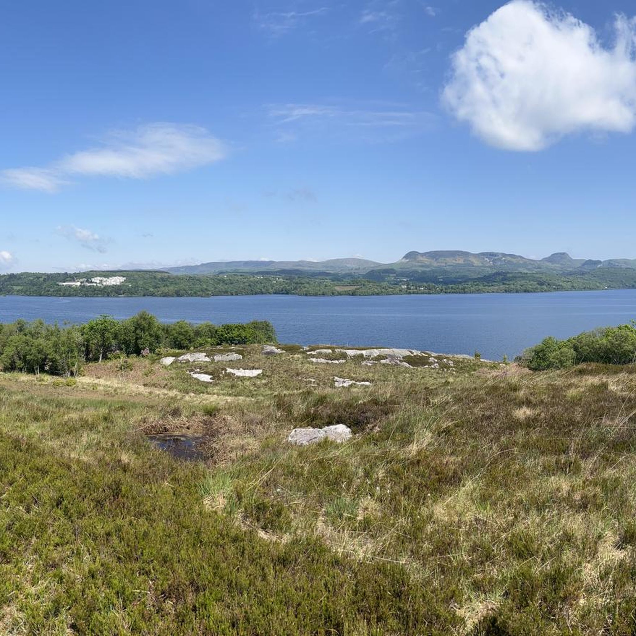
Road Cycling Routes around Lough Gill
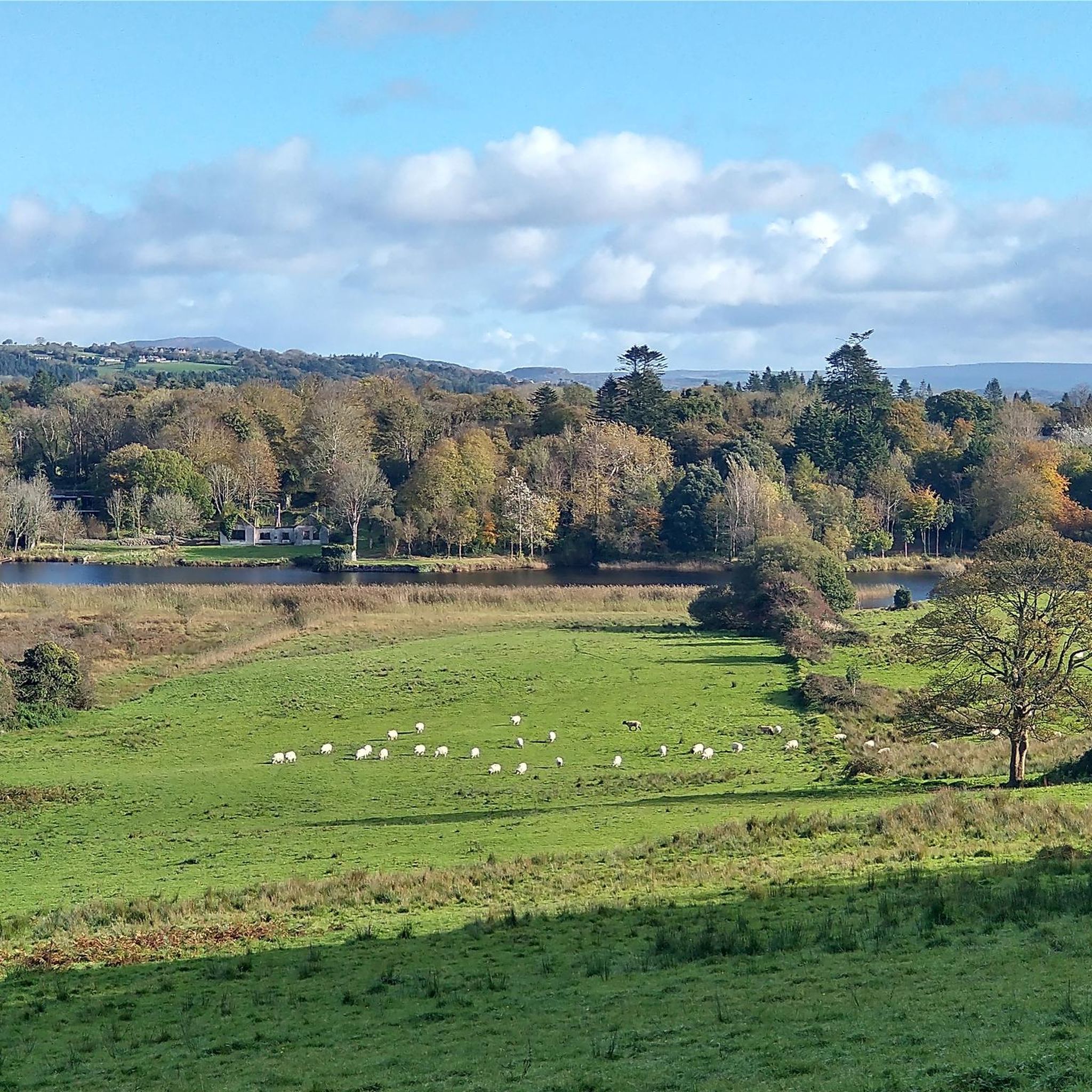
Road Cycling Routes around Hazelwood
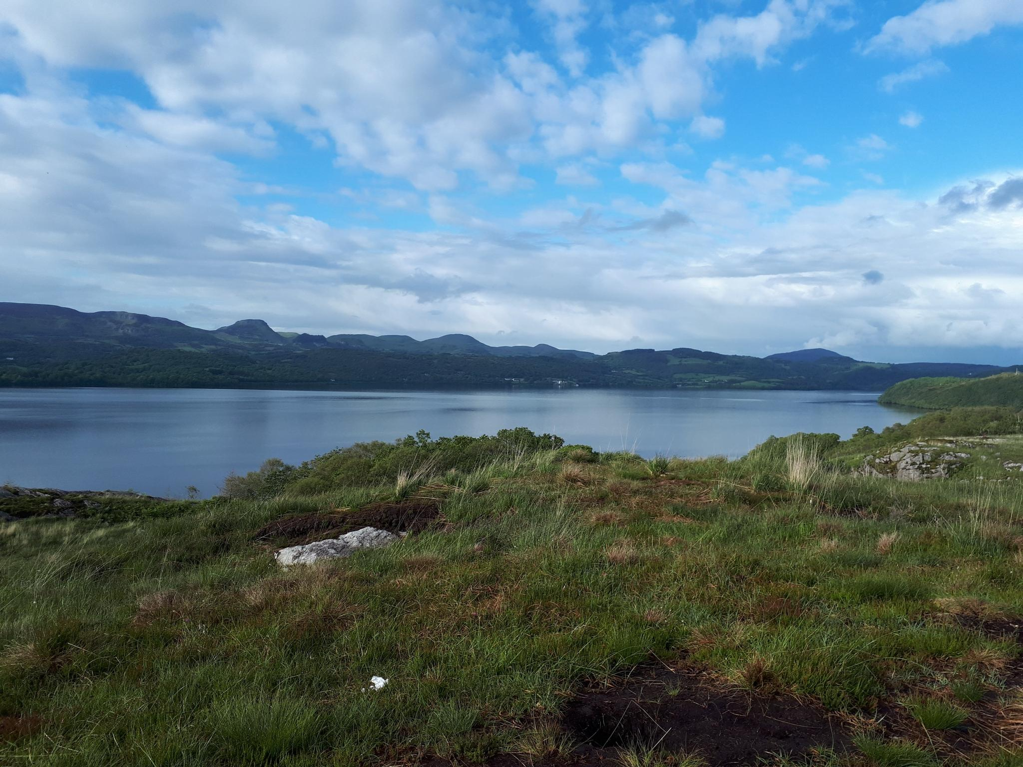
Sligo Way – Hiking through Yeats Country
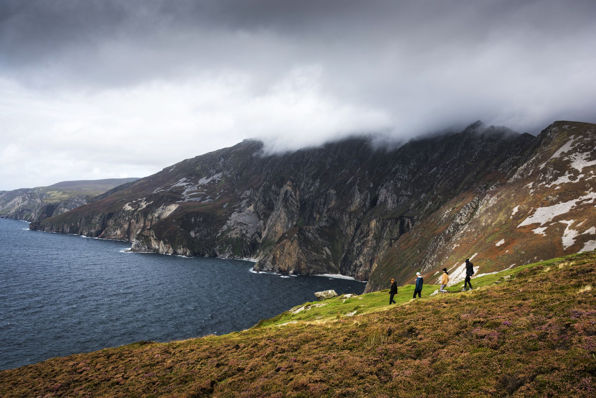
Hike Ireland's coast: cliffs, waves and wonderful wide beaches
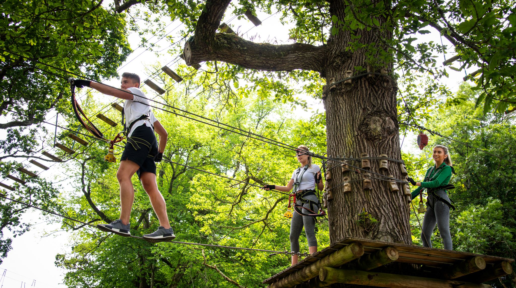
Awaken your spirit of discovery — family-friendly walks in Ireland
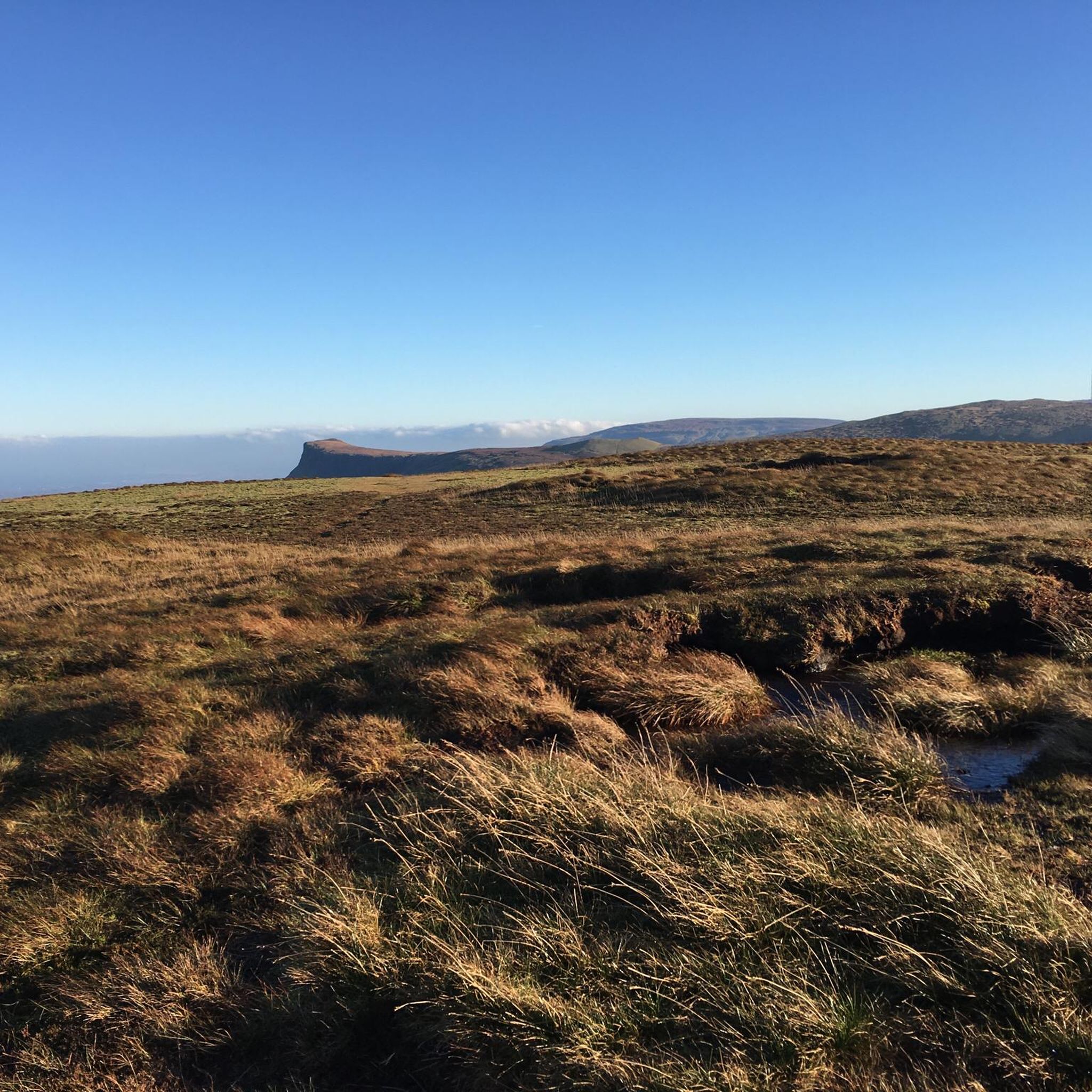
Hiking around Sligo Municipal Borough District
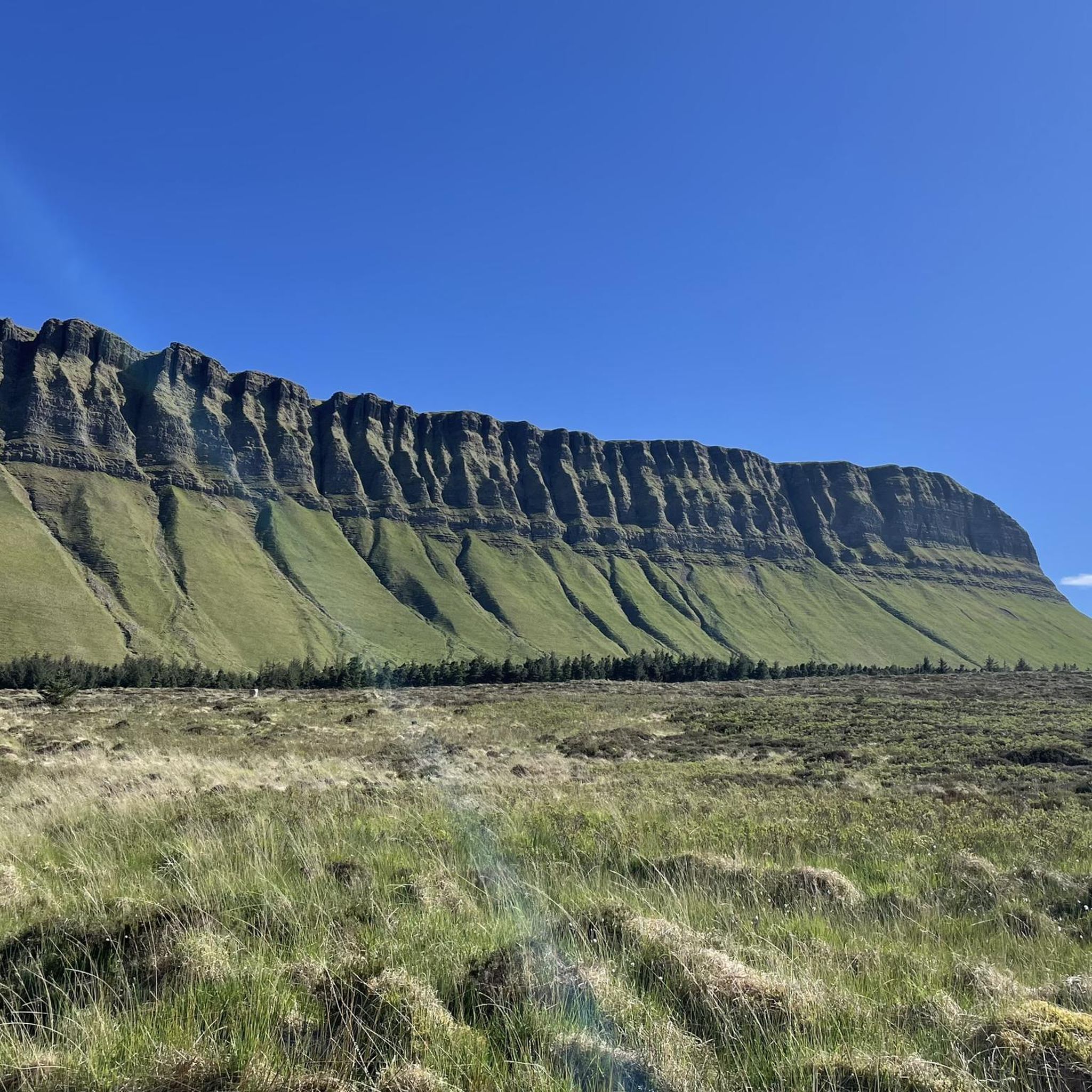
Running Trails around Sligo Municipal Borough District
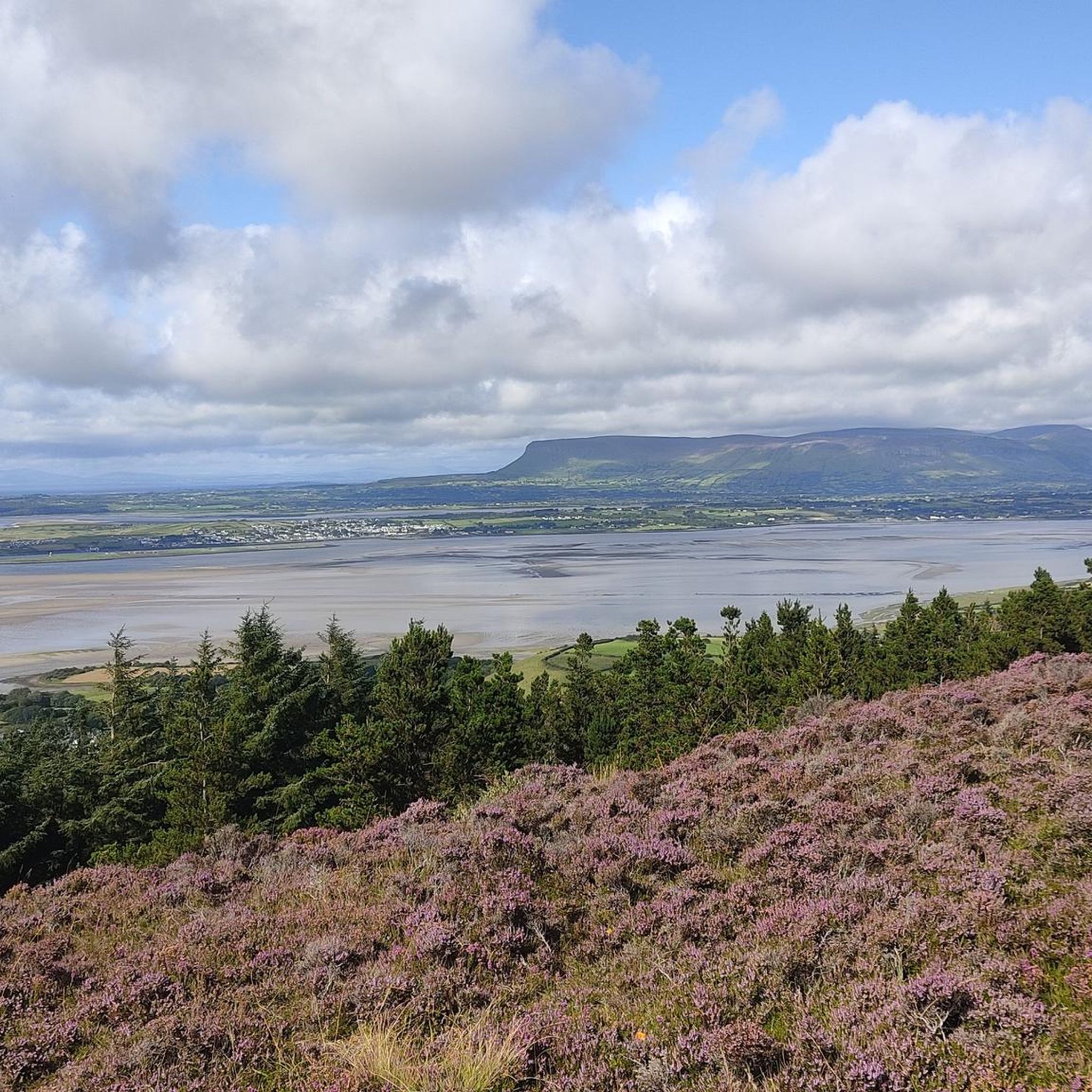
Cycling around Sligo Municipal Borough District
MTB Trails around Sligo Municipal Borough District
Other adventures around Sligo Municipal Borough District


Tips from the Community

Small bridge over the Ballintrillick River, just before the southwestern entrance of the Gleniff Horseshoe. A quiet, green viewpoint where the river flows beneath you and the first outlines of Benwiskin and the Dartry Mountains become visible. But I don't find it that special.
3
0
The Drumcliff Round Tower is the remnant of an early Christian monastery traditionally founded around 560 by Columcille (Columba). Only the stump of the tower remains standing, but together with the High Cross across the road, it forms a clear landmark of the old abbey site. The tower was part of a larger monastic complex that was a religious center for centuries along the old route between Sligo and Donegal. The weathered stones and the open space around the tower give a clear picture of the early medieval presence in Drumcliff.
4
0
Central bridge over the Garavogue River, named after Douglas Hyde. A recognizable landmark in the heart of Sligo, with views of the river and direct access to the Yeats Memorial Building and the city's main streets.
5
0
Neo-Gothic courthouse from 1878 on Teeling Street, designed by James Rawson Carroll. The sandstone facade with turrets and pointed arches gives the building a strikingly stately character. A rare example of Victorian architecture outside of Dublin.
3
0
This Dominican priory, the city's oldest monument, built in the 13th century by Maurice Fitzgerald, has a choir and the remains of a stone rood screen with three arches from that period. Heavily damaged by fire, the abbey received additions in the 15th century, such as the cloister, the nave, the tower, and especially the most beautiful element of the building: the sarcophagus altar, carved with nine panels, unique in its kind in Ireland.
4
0

Creevelea Abbey is an early 16th-century Franciscan friary and National Monument located in Dromahair. While just over the border from County Sligo in County Leitrim, it is an important monument signalling the end (or start) of the Sligo Way. While it is in ruins, Creevelea Abbey is still in use as a grave yard.
1
0

A good pub in the early part of the Sligo Way hiking route. Stop here for Lunch or a pint of Guiness to mix with locals and fellow adventurers alike.
0
0
Frequently Asked Questions
How many road cycling routes are available in Sligo Municipal Borough District?
There are over 30 road cycling routes available in Sligo Municipal Borough District, catering to various skill levels and preferences. You'll find a diverse range of options, from easy coastal spins to more challenging mountain loops.
What kind of terrain can I expect when road cycling in Sligo Municipal Borough District?
Sligo Municipal Borough District offers a varied landscape for road cycling. You can expect a mix of rugged Atlantic coastlines, serene lake shores, and an arc of mountains and hills. This includes distinctive flat-topped limestone plateaus like Benbulben and the Ox Mountains, providing both flat sections and challenging climbs.
Are there road cycling routes suitable for beginners in Sligo Municipal Borough District?
Yes, there are several easy road cycling routes perfect for beginners. For example, the Roses Point to Ardtermon Strand and back route is 47.5 km with a relatively flat profile and coastal views. Another easy option is the Carrowmore Megalithic Tombs – Hyde Bridge loop from Carrowmore, which is 31.4 km and takes you through an area with ancient sites.
Where can I find more challenging road cycling routes in the Sligo Municipal Borough District?
For more challenging rides, consider routes that venture into the mountainous areas. The Drumcliff Round Tower – Gleniff Horseshoe loop from Collooney is a moderate 104.3 km path featuring the dramatic scenery of the Gleniff Horseshoe. Another option is the Gleniff Horseshoe Loop – Gleniff Horseshoe Viewpoint loop from Classiebawn Castle, which is 81.2 km and includes significant elevation gain.
Are there any long-distance road cycling routes in the Sligo Municipal Borough District?
Yes, Sligo County Council is actively involved in developing sections of the EuroVelo 1 (Atlantic Coastal Route), which features a 172 km signed route on existing roads within County Sligo. For a long day trip, the Sligo Abbey – Hyde Bridge loop from Rosses Point covers nearly 100 km.
Can I find circular road cycling routes in Sligo Municipal Borough District?
Many road cycling routes in Sligo Municipal Borough District are designed as loops, allowing you to start and finish in the same location. Examples include the Drumcliff Round Tower – Gleniff Horseshoe loop from Collooney and the Hyde Bridge loop from Markievicz Park.
What natural landmarks or scenic viewpoints can I see while road cycling in Sligo Municipal Borough District?
Road cycling in Sligo offers stunning natural sights. You can cycle with views of the distinctive flat-topped Benbulben mountain (Benbulben), explore routes around the tranquil Lough Gill, or experience the dramatic coastal cliffs of Mullaghmore Head. The Gleniff Horseshoe route is particularly renowned for its dramatic scenery.
Are there historical sites or cultural attractions accessible by road bike in the area?
Absolutely. Many routes pass by significant historical and cultural sites. The Carrowmore Megalithic Tombs – Hyde Bridge loop from Carrowmore takes you past the ancient Carrowmore Megalithic Tombs, one of Ireland's oldest and largest stone grave sites. Other routes might bring you near Drumcliffe Church, the burial place of W.B. Yeats, or Lissadell House.
Are there any routes that pass by waterfalls?
Yes, Sligo Municipal Borough District is home to beautiful waterfalls. While not directly on all road cycling routes, you can find routes that bring you close to areas where you can visit them. Notable waterfalls in the region include The Devil's Chimney Waterfall and Glencar Waterfall (High Moor Waterfall), which are popular highlights in the area.
What is the best time of year for road cycling in Sligo Municipal Borough District?
The best time for road cycling in Sligo Municipal Borough District is generally from late spring to early autumn (May to September). During these months, the weather is typically milder with longer daylight hours, making for more pleasant riding conditions. However, the region's weather can be unpredictable, so it's always wise to check the forecast before heading out.
What do other road cyclists enjoy the most about road cycling in Sligo Municipal Borough District?
The area is highly rated by the komoot community, with an average score of 4.2 stars from over 5 reviews. Reviewers often praise the diverse terrain, from dramatic coastlines to serene lakes and challenging mountain backdrops, and the opportunity to explore both natural beauty and historical sites.
Are there family-friendly road cycling options in Sligo Municipal Borough District?
While many routes are on public roads, some of the easier, flatter loops can be suitable for families with older children who are comfortable cycling on roads. The Lough Gill Cycle Loop, for instance, is a moderate 40 km route with scenic views that can be enjoyed by families looking for a longer ride. Always assess the traffic and road conditions for your family's comfort level.
Most popular routes around Sligo Municipal Borough District
Most popular attractions around Sligo Municipal Borough District

Get inspired with the komoot mobile app


Didn’t find what you were looking for?
Check out more Road cycling routes throughout Sligo Municipal Borough District below and find the perfect route in your destination.
Explore more
Browse the best Road cycling routes in other regions.
