The best road cycling routes around Geyer
4.6
(294)
3,749
riders
210
rides
Road cycling routes around Geyer traverse the varied terrain of the Erzgebirge, characterized by rolling hills, forested sections, and river valleys. The region offers routes with significant elevation changes, providing challenging climbs and scenic descents. Cyclists can expect to encounter a mix of cultivated landscapes and natural features, including reservoirs and viewpoints. The network of roads caters to different skill levels, from moderate to difficult.
Best road cycling routes around Geyer
- The most popular road cycling route is Between Dörfel…
Last updated: July 1, 2026
4.2
(5)
99
riders
49.2km
02:14
560m
560m
Moderate road ride. Good fitness required. Mostly well-paved surfaces and easy to ride.
5.0
(1)
25
riders
64.0km
03:10
1,000m
1,000m
Hard road ride. Very good fitness required. Mostly well-paved surfaces and easy to ride.

Sign up for free
5.0
(1)
42
riders
44.3km
02:06
610m
610m
Moderate road ride. Good fitness required. Mostly well-paved surfaces and easy to ride.
5.0
(3)
14
riders
44.3km
02:35
920m
920m
Hard road ride. Very good fitness required. Some segments of this route may be unpaved and difficult to ride.
5.0
(1)
12
riders
49.3km
02:34
910m
910m
Hard road ride. Very good fitness required. Mostly well-paved surfaces and easy to ride.
Get access to more routes and recommendations from other explorers.
Sign up for free
Already have an account?
Our route recommendations are based on thousands of hikes, rides, and runs completed by other people on komoot.
Start today with a free account
Your next adventure awaits.
Login or Signup



Tips from the Community

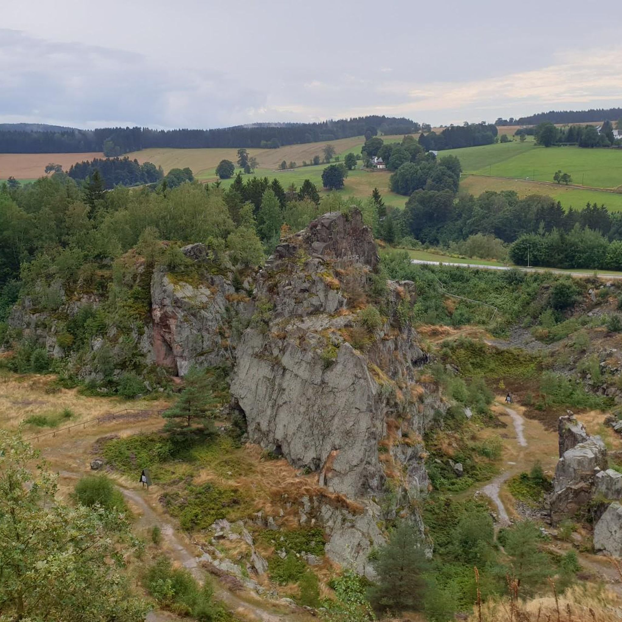
a very nice view
0
0

the town of Elterlein. Beautifully decorated with fountains and flowers
1
0

... lost places, which reminds of earlier history
0
0

Generally speaking, it's a very nice and good bike path. However, from my own experience, a small warning: Approximately halfway through the section, the bike path crosses the main road. Coming from the south, the path is slightly downhill, and the crossing comes unexpectedly. Immediately before the road is a wooden bridge. In wet conditions and at higher speeds, braking on this... can be difficult.
1
0

A beautiful, steep mountain with good asphalt. A bit busy in places. But it's a good place to traverse its mountainous shape.
0
0

Frequently Asked Questions
How many road cycling routes are available around Geyer?
There are over 200 road cycling routes around Geyer, offering a wide range of options for different skill levels. This includes 22 easy routes, 116 moderate routes, and 72 difficult routes, ensuring there's something for every cyclist.
What kind of terrain can I expect when road cycling around Geyer?
Road cycling routes around Geyer traverse the varied terrain of the Erzgebirge. You can expect rolling hills, forested sections, and river valleys. The region features significant elevation changes, providing both challenging climbs and scenic descents, often passing by reservoirs and offering diverse viewpoints.
Are there challenging road cycling routes in Geyer?
Yes, Geyer offers numerous challenging road cycling routes. With 72 routes classified as difficult, cyclists seeking significant elevation gains and demanding terrain will find suitable options. For example, the Thumer Straße Climb – Schwarzer Teich loop from Ehrenfriedersdorf is a moderate route that includes substantial climbing.
Are there easy road cycling routes suitable for beginners in Geyer?
Yes, Geyer has 22 road cycling routes categorized as easy, making them suitable for beginners or those looking for a more relaxed ride. These routes typically feature less elevation gain and shorter distances, allowing for a comfortable introduction to road cycling in the region.
Can I find long-distance road cycling trails in Geyer?
Absolutely. Geyer offers several long-distance road cycling routes. For instance, the Greifenbachstauweiher – Hotel Fichtenhäusel loop from Aussichtsfelsen is a 44.8-mile (72.2 km) trail that takes approximately 3 hours 21 minutes to complete, leading through areas with water features and scenic viewpoints.
Are there circular road cycling routes around Geyer?
Many of the road cycling routes around Geyer are designed as loops, allowing you to start and end at the same point. A popular example is the Between Dörfel and Schlettau – Zschopautal Cycle Path loop from Geyer, which is a 26.7-mile (42.9 km) moderate route following a river valley.
What do other road cyclists enjoy most about the routes in Geyer?
The road cycling routes in Geyer are highly rated by the komoot community, with an average score of 4.5 stars from over 295 reviews. Cyclists often praise the diverse scenery, which includes forested hills, river valleys, and reservoirs, as well as the variety of routes catering to different ability levels.
Are there scenic viewpoints along the road cycling routes in Geyer?
Yes, the region around Geyer is known for its scenic viewpoints. Many routes offer panoramic views of Northern Sonoma County, transitioning from cultivated vineyards to rugged cattle ranches. You might encounter highlights such as the Pöhlberg Observation Tower or the Scheibenberg Observation Tower, which provide stunning vistas.
Can I find routes that pass by waterfalls in the Geyer area?
Yes, several road cycling routes in the Geyer area can lead you near beautiful waterfalls. You might consider exploring areas close to highlights like the Sendig Mill and Waterfall or the Oswaldbach Pond and Waterfall near Grünhain for a refreshing stop.
What kind of landmarks or natural features can I explore near Geyer?
Beyond the cycling, the Geyer area is rich in landmarks and natural features. You can explore historical sites like the Frohnauer Hammer, or visit mountain peaks and viewpoints such as the Tabakstanne or the Schreckenberg Tower, offering diverse sights along your ride.
What is the typical duration for road cycling routes in Geyer?
The duration of road cycling routes in Geyer varies significantly depending on the distance and difficulty. Shorter, moderate routes like the Greifenbachstauweiher – Paukklausenturm loop from Geyer can take around 1 hour 29 minutes, while longer routes can extend to over 3 hours, such as the Greifenbachstauweiher – Hotel Fichtenhäusel loop from Aussichtsfelsen.
Are there family-friendly road cycling options in Geyer?
While many routes in Geyer feature significant elevation changes, there are 22 easy routes that could be suitable for families or those looking for a less strenuous ride. These routes typically follow gentler terrain, often through river valleys or around reservoirs, providing a more relaxed experience.
Most popular attractions around Geyer

Get inspired with the komoot mobile app


Explore more
Browse the best Road cycling routes in other regions.
