The best running trails around Bielawa
4.9
(18)
796
runners
65
runs
Jogging routes around Bielawa are set against the backdrop of the Owl Mountains (Góry Sowie) in Lower Silesia, Poland. The region features diverse landscapes, from mountainous terrain offering significant elevation gain to the picturesque Bielawa Lake. Runners can explore a network of trails that traverse forests, open areas, and paths around the lake, providing varied surfaces and challenges. This area serves as a gateway to the natural beauty of the Owl Mountains Landscape Park.
Best jogging routes around Bielawa
- The…
Last updated: October 18, 2026
107
runners
33.9km
04:20
1,180m
1,180m
Hard run. Very good fitness required. Mostly paved surfaces. Suitable for all skill levels.
59
runners
20.9km
02:38
690m
690m
Hard run. Very good fitness required. Mostly paved surfaces. Suitable for all skill levels.

5.0
(1)
31
runners
13.6km
01:26
70m
70m
Moderate run. Good fitness required. Mostly paved surfaces. Suitable for all skill levels.
24
runners
13.0km
01:29
130m
130m
Moderate run. Good fitness required. Mostly paved surfaces. Suitable for all skill levels.
5.0
(1)
23
runners
10.5km
01:06
40m
40m
Moderate run. Good fitness required. Mostly paved surfaces. Suitable for all skill levels.
Get access to more routes and recommendations from other explorers.
Already have an account?
Our route recommendations are based on thousands of hikes, rides, and runs completed by other people on komoot.
Start today with a free account
Your next adventure awaits.


Tips from the Community


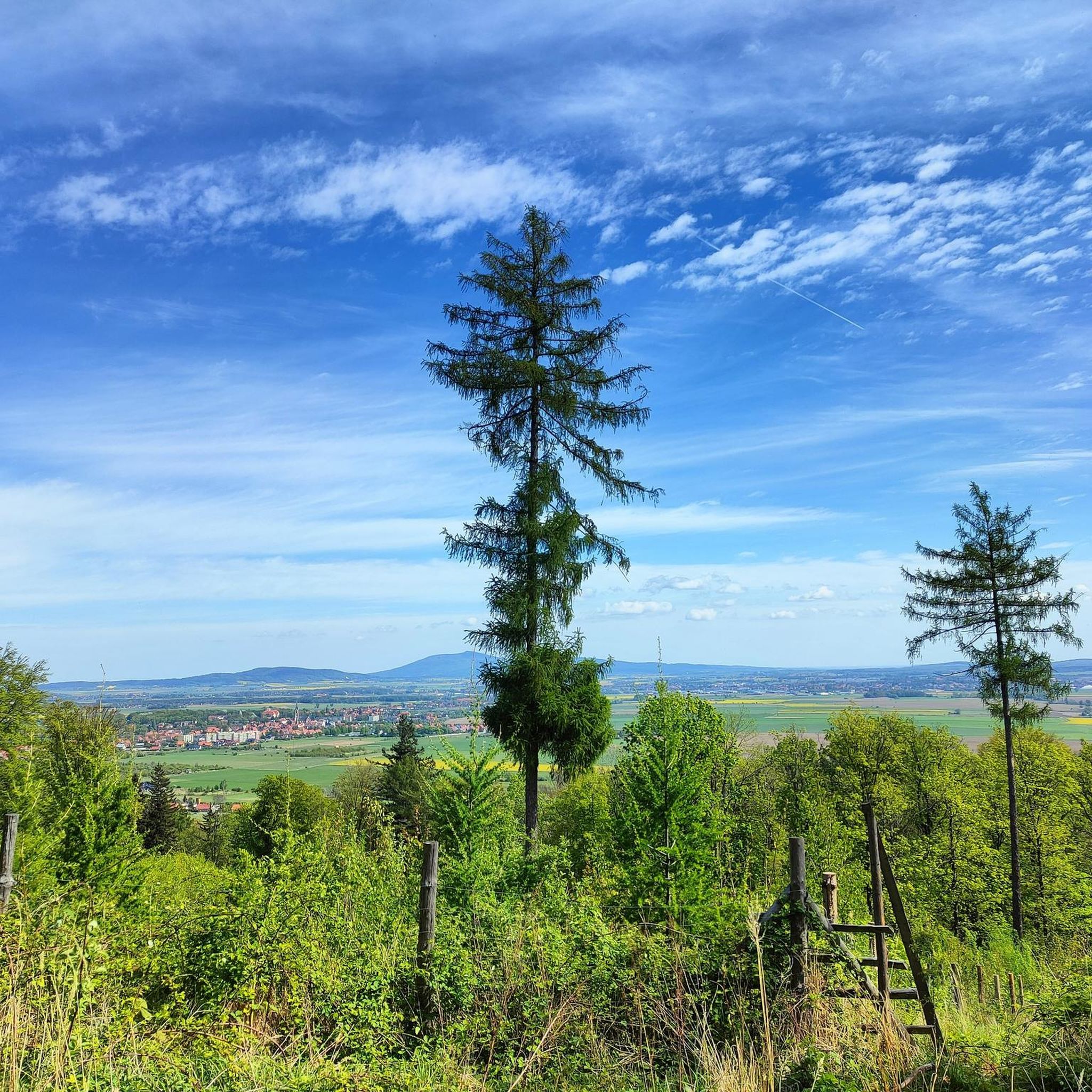
At the pass (628 meters above sea level) there's a shelter, a tourist shelter, and a campfire spot. Three hiking trails intersect here: blue, black, and yellow.
0
0


Exactly, Fanny, super cool and not that high. But the views are 👌😎
7
0
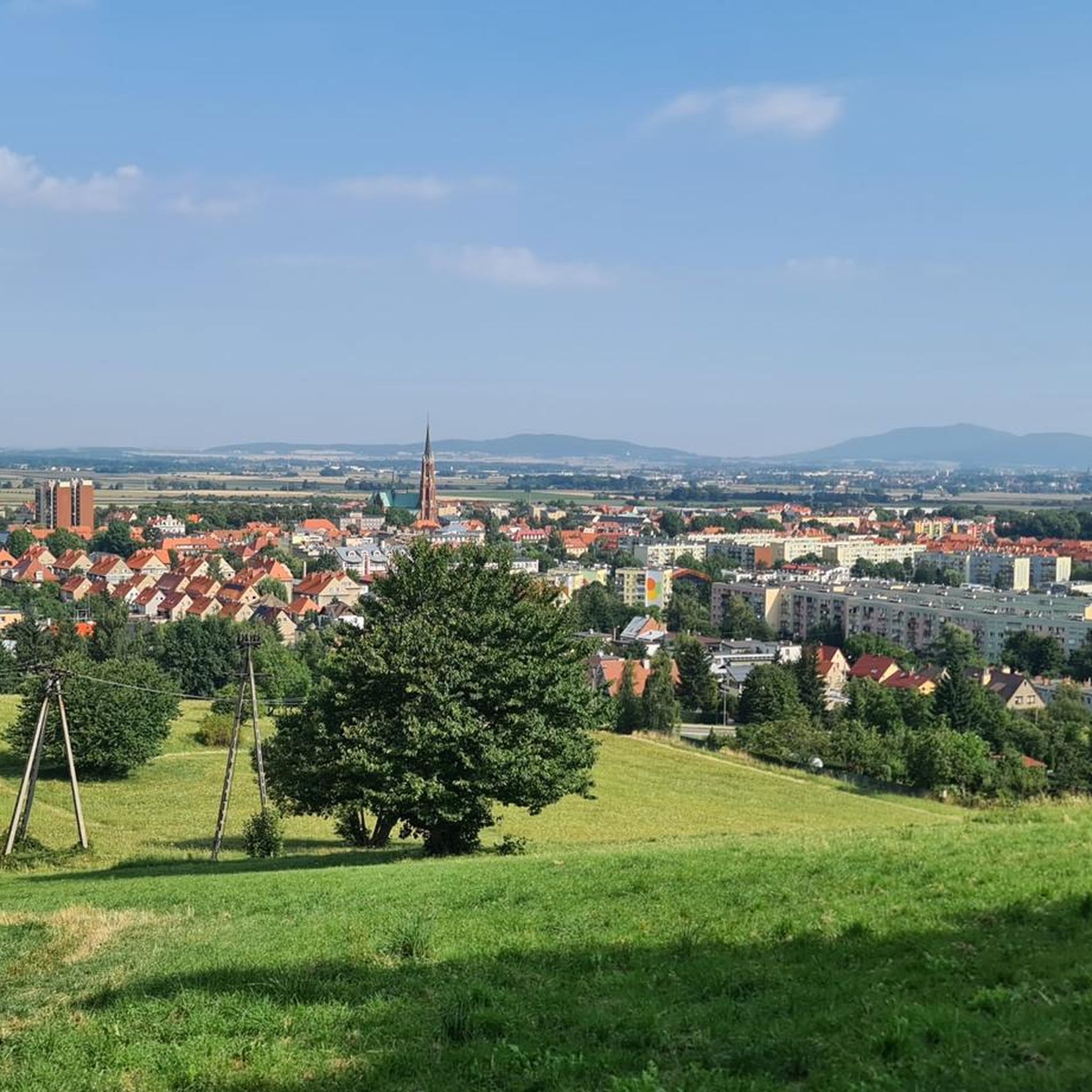
The route starts on a gravel road opposite the Energy Savings Center parking lot between a chestnut tree and a willow. It runs on asphalt with limited traffic for cars. Almost along its entire length, there is a view of the Ślęża group on one side and the Sowie Mountains on the other. It ends on a path on the embankment of the Sowiogórska railway at Obywatelska Street. 5 km in both directions.
0
0

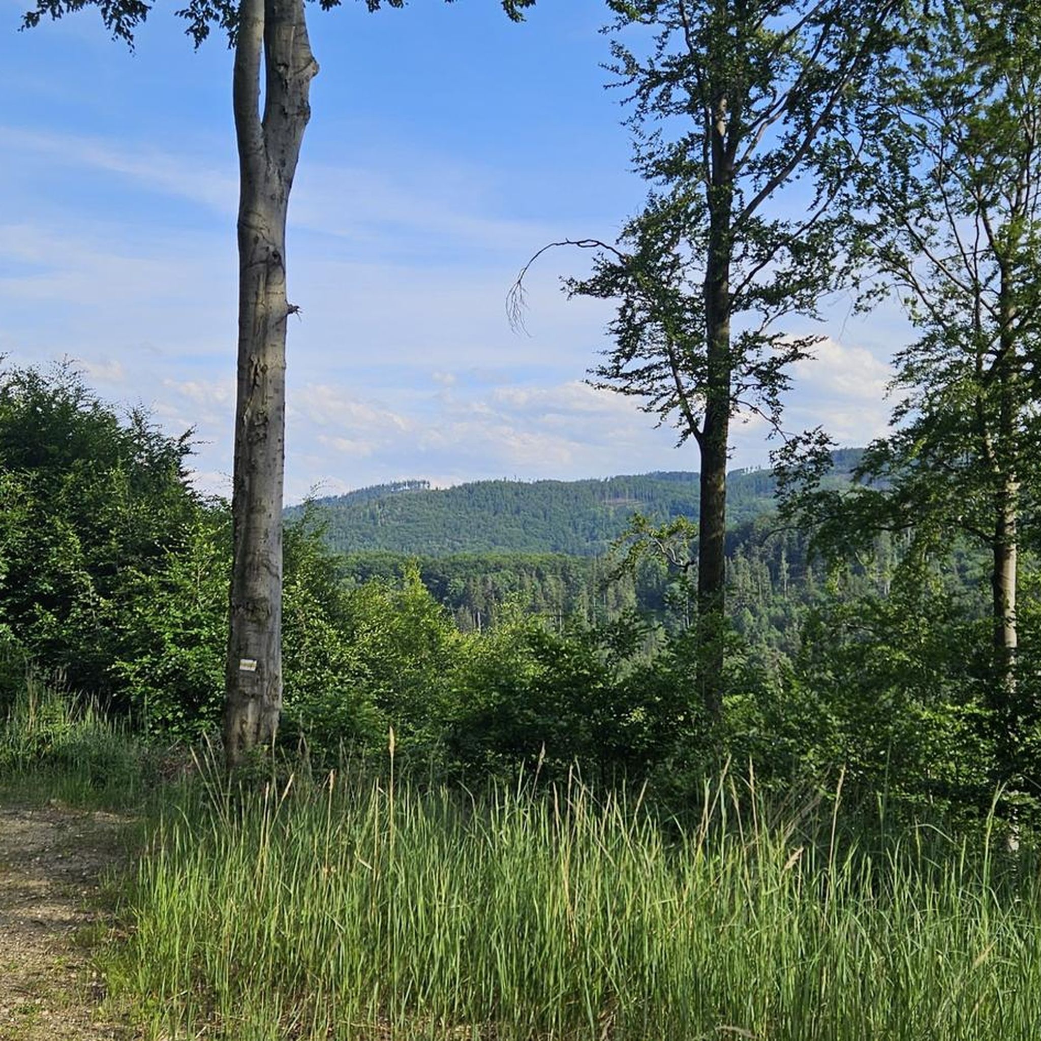
A vast clearing at an altitude of 805m, which is also a pass separating Kalenica and Popielak. Generally covered with forest, but you will find good views here. A good place to stop after a strenuous bike ride.
0
0
Przełęcz Jugowska at an altitude of 801m. Access to it is by a quiet asphalt road, great for cyclists who like climbs. There are no views here, but there is a huge information board about the area, a parking lot, a bar and a shelter.
0
0
From this mountain - and from the observation tower - the views are simply stunning. It is the second highest peak in the Sowie Mountains. From here you can see the entire Sowie Mountains, the Stołowe Mountains, and even the Karkonosze Mountains - amazing!
1
0
Frequently Asked Questions
How many running routes are available in Bielawa?
Bielawa offers a comprehensive network of over 60 running routes. These trails cater to various fitness levels, ranging from easy paths to challenging mountainous runs, ensuring there's something for every runner.
Are there easy running routes suitable for beginners in Bielawa?
Yes, Bielawa features 4 easy running routes, perfect for beginners or those looking for a less strenuous run. These trails typically have minimal elevation gain and cover shorter distances, often found around the tranquil Bielawa Lake or in the City Park.
What kind of terrain can I expect on the running trails around Bielawa?
The running trails in Bielawa offer diverse terrain. You'll find mountainous sections with significant elevation gain in the Owl Mountains, tranquil forest paths, and accessible paved routes, especially around Bielawa Lake. Some sections may require sure-footedness.
Are there any circular running routes in Bielawa?
Many of Bielawa's running routes are designed as loops, offering convenient circular paths. For example, the Lake Bielawskie loop from Bielawa is a popular circular trail around the scenic lake, perfect for a moderate run.
What are some interesting places to explore along the running routes?
While running, you can discover several interesting spots. The Viewing tower on the Great Owl offers panoramic views, and the Włodzicka Góra Observation Tower provides another excellent vantage point. The picturesque Bielawa Lake itself is a highlight, with its beach and pier.
Are there any running routes that offer great viewpoints?
Absolutely! Many routes in the Owl Mountains region provide stunning vistas. The challenging Kalenica Observation Tower – Kalenica loop leads to an observation tower with expansive views. You can also find wonderful viewpoints near Jugów, offering scenic breaks during your run.
What do other runners enjoy most about jogging in Bielawa?
The running routes in Bielawa are highly rated by the komoot community, with an average score of 4.5 stars from over 15 reviews. Runners often praise the diverse landscapes, the challenging mountainous terrain, and the serene paths around Bielawa Lake.
Are there any family-friendly running options in Bielawa?
For families, the easier and shorter routes, particularly those around Bielawa Lake or within the City Park, are ideal. These areas often have flatter, more accessible paths suitable for a leisurely run or walk with children.
Can I bring my dog on the running trails in Bielawa?
Many of the natural trails and forest paths around Bielawa are suitable for running with dogs, provided they are kept under control, ideally on a leash, and you clean up after them. Always check local regulations for specific areas, especially around protected zones or popular recreational spots like Bielawa Lake.
Are there any moderate running routes for those with good fitness?
Yes, Bielawa offers 38 moderate running routes. Trails like the Sudecka Plaża loop from Bielawa Centralna provide a good balance of distance and elevation, suitable for runners with good fitness looking for a solid workout without extreme difficulty.
What is the best time of year for running in Bielawa?
Spring and autumn generally offer the most pleasant conditions for running in Bielawa, with mild temperatures and beautiful scenery. Summer can be great, but be prepared for warmer weather. Winter running is possible, especially on lower elevation paths, but some mountainous trails may be challenging due to snow and ice.
Are there any challenging running routes for experienced runners?
Absolutely. Bielawa is a gateway to the Owl Mountains, offering 20 difficult routes for experienced runners. The Forest Manor – Bielawska Polana loop is a demanding 30.4 km path with significant elevation gain, requiring very good fitness.
Are there facilities like parking near the running routes?
Many popular starting points for running routes in Bielawa, especially around Bielawa Lake and access points to the Owl Mountains, offer designated parking areas. It's advisable to check specific route details on komoot for parking information near your chosen starting point.
Most popular routes around Bielawa
Most popular attractions around Bielawa

Get inspired with the komoot mobile app


Explore more
Browse the best Running Trails & Routes in other regions.
