The best road cycling routes around Dzierżoniów
4.7
(52)
872
riders
60
rides
Road cycling routes around Dzierżoniów offer diverse terrain in Poland's Lower Silesian Voivodeship. The region features the forested hills of the Owl Mountains Landscape Park, providing significant elevation changes for challenging rides. Cyclists can also find more moderate routes around Lake Bielawskie or tackle ascents like the Jugowska Pass. This varied topography ensures options for different skill levels, from gentle rides to demanding climbs.
Best road cycling routes around Dzierżoniów
- The most popular road cycling route is Jugowska Pass –…
Last updated: August 28, 2026
97
riders
Hard road ride. Very good fitness required. Some segments of this route may be unpaved and difficult to ride.
4.7
(6)
198
riders
52.7km
03:01
1,100m
1,100m
Hard road ride. Very good fitness required. Some segments of this route may be unpaved and difficult to ride.

Sign up for free
4.6
(5)
32
riders
35.7km
01:28
230m
230m
Easy road ride. Great for any fitness level. Mostly well-paved surfaces and easy to ride.
27
riders
77.1km
03:48
1,160m
1,160m
Hard road ride. Very good fitness required. Some segments of this route may be unpaved and difficult to ride.
5.0
(3)
32
riders
27.1km
01:05
130m
130m
Easy road ride. Great for any fitness level. Mostly well-paved surfaces and easy to ride.
Get access to more routes and recommendations from other explorers.
Sign up for free
Already have an account?
Our route recommendations are based on thousands of hikes, rides, and runs completed by other people on komoot.
Start today with a free account
Your next adventure awaits.
Login or Signup
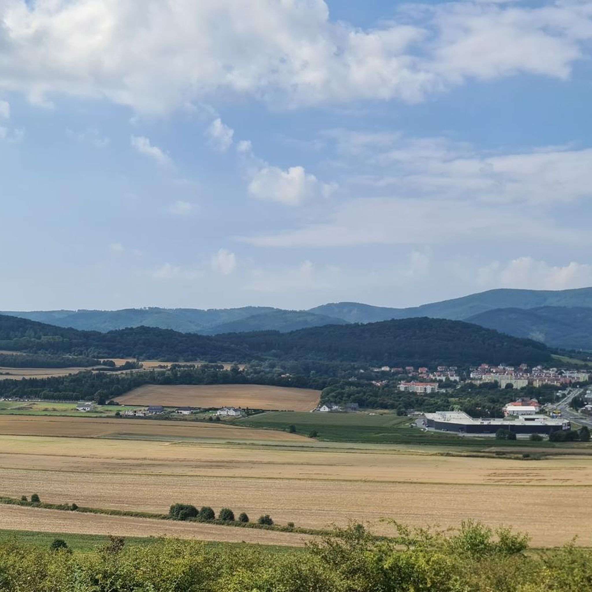
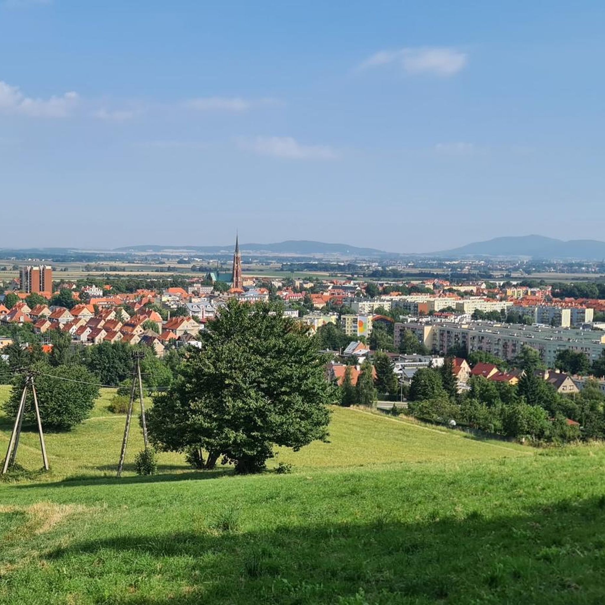
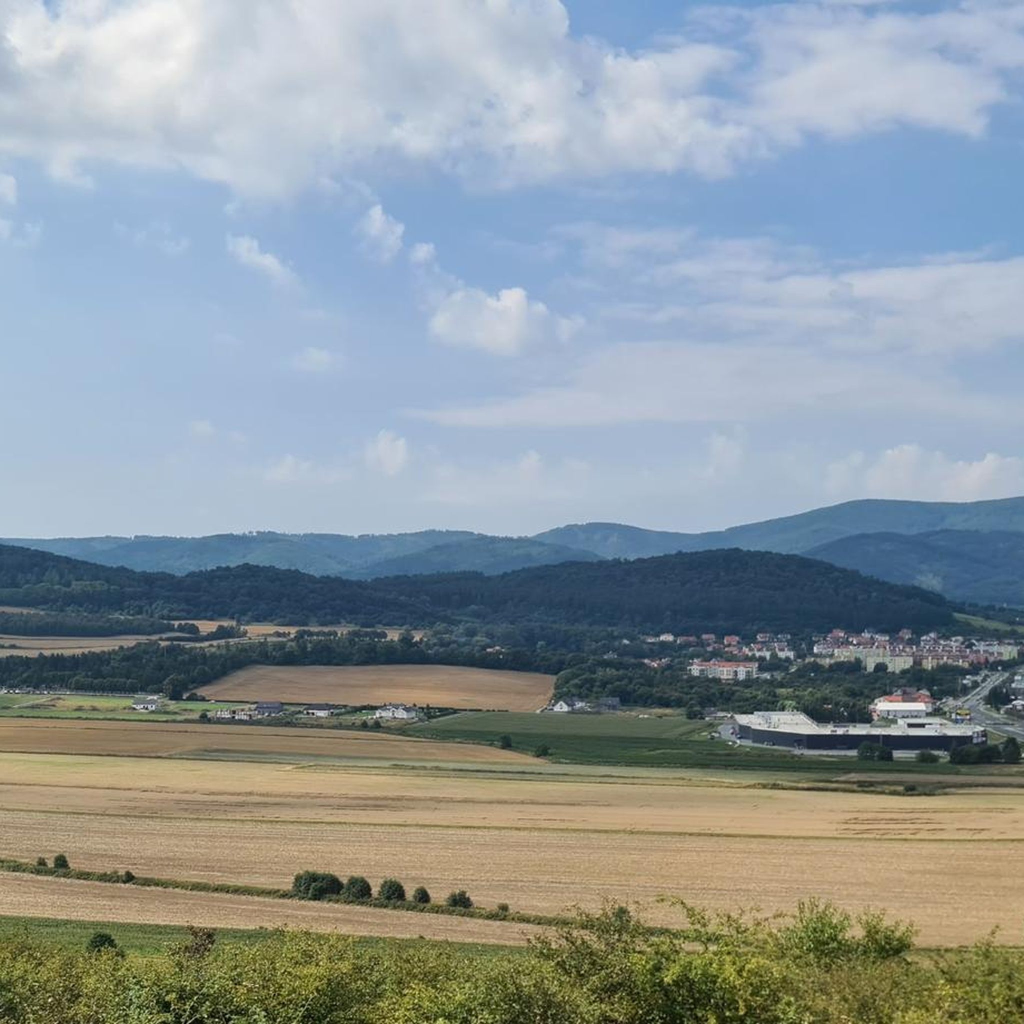
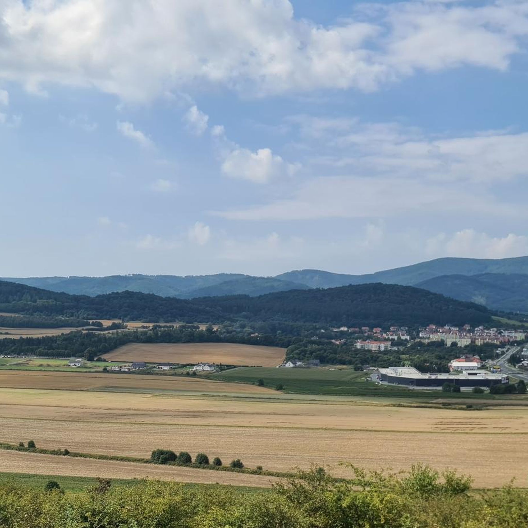

Tips from the Community

Unfortunately, the road is full of holes, so be careful when leaving the pass.
0
0

A forested pass in the Owl Mountains at 711 meters above sea level. Beautiful forests, but no views. However, there is a great, well-maintained shelter; a perfect place to relax.
1
0

An asphalt section overlooking the dam and Lake Bystrzyckie. Lake Bystrzyckie, also known as Lubachowskie, is a picturesque reservoir in the Owl Mountains, created in the early 20th century after the construction of an impressive, 44-meter-high dam on the Bystrzyca River. Surrounded by forests and villages, it is a great place to relax by the water, and you can also see the ruins of Grodno Castle towering over the lake. A fascinating attraction is the modern pedestrian footbridge – one of the few structures of its kind in the world – with viewing platforms offering panoramic views of the lake.
2
0

I definitely recommend this road as a descent. It is steep with great views. It is better to go up the main road, which is a bit longer.
1
0
Przełęcz Jugowska at an altitude of 801m. Access to it is by a quiet asphalt road, great for cyclists who like climbs. There are no views here, but there is a huge information board about the area, a parking lot, a bar and a shelter.
0
0
The ascent is 4.4 km long and has a height difference of 190 m. The average gradient is 4.5%, although there is a moment of 9-10%. The ascent leads through the forest, along a wide road and recently renovated. The traffic is moderate. At the pass (711 m) there is a crossroads of hiking and cycling trails.
2
0
One of the variants of the ascent to Przełęcz Sokołą leads from the north from the Walim side. On this 5-kilometer section, the average gradient is 4.8%, but the last part is especially difficult, where the gradient reaches 10-11%. The asphalt is good, but there are some patches. Wide views await us only at the pass.
1
0
During the over 2-kilometer ascent to the pass, we pass one serpentine, overcoming 140 meters of elevation. The average gradient is 6.5%. On the way, we pass a lift to the Orzeł mountain shelter.
1
0
Frequently Asked Questions
What kind of terrain can I expect on road cycling routes around Dzierżoniów?
The Dzierżoniów region offers a diverse range of terrain. You'll find challenging ascents and descents in the forested hills of the Owl Mountains Landscape Park, as well as more moderate and flatter routes, particularly around picturesque Lake Bielawskie. This varied topography caters to different skill levels.
How many road cycling routes are available in the Dzierżoniów area?
There are over 60 dedicated road cycling routes around Dzierżoniów listed on komoot, with options ranging from easy loops to difficult climbs. The broader region of Lower Silesian Voivodeship, where Dzierżoniów is located, boasts an extensive network of cycling paths.
Are there road cycling routes suitable for beginners or families in Dzierżoniów?
Yes, Dzierżoniów offers routes suitable for various fitness levels. For easier rides, consider routes with less elevation gain, such as the Paved Bike Path – Scenic Bicycle Path loop from Dzierżoniów Śląski, which is classified as easy. Routes around Lake Bielawskie also tend to be more relaxed and family-friendly.
What is the best time of year for road cycling in Dzierżoniów?
The months of May and June are particularly popular for road cycling in Dzierżoniów, offering pleasant weather conditions for outdoor activities. The region's diverse landscapes are beautiful during these seasons.
What are some challenging road cycling routes for experienced riders?
Experienced road cyclists seeking a challenge will find routes with significant elevation changes in the Owl Mountains. Notable difficult routes include the Jugowska Pass – The hydroelectric dam in Zagorze Śląskie loop from Dzierżoniów Śląski, which covers 69 km with over 900 meters of ascent, and the Jugowska Pass – Walimska Pass loop from Dzierżoniów Śląski, featuring nearly 1200 meters of climbing.
What do other road cyclists say about the routes in Dzierżoniów?
The road cycling routes in Dzierżoniów are highly rated by the komoot community, with an average score of 4.7 stars from over 50 reviews. Cyclists often praise the varied terrain, the scenic beauty of the Owl Mountains, and the well-maintained paths.
Are there any scenic viewpoints or natural features to look out for on the routes?
Absolutely. The Owl Mountains Landscape Park provides stunning forested hills and winding roads. The Jugowska Pass is a popular destination for cyclists, offering a challenging climb and serving as a convergence point for trails. The nearby Wielka Sowa Observation Tower also offers panoramic views, and Lake Bielawskie provides picturesque surroundings for more relaxed rides.
Can I find any historical landmarks or attractions along the road cycling routes?
Yes, the Dzierżoniów area has several historical attractions. You might encounter landmarks such as the Krzyżowa Palace or the Pieszyce Palace, which add a cultural dimension to your ride. The Kalenica Observation Tower also offers historical context alongside its views.
Are there any loop routes available for road cycling?
Many of the road cycling routes around Dzierżoniów are designed as loops, allowing you to start and finish in the same location. Examples include the Sulistrowicka Pass – Tąpadła Pass loop from Dzierżoniów Śląski, offering a balanced ride through varied terrain.
What is the longest road cycling route in the Dzierżoniów area?
Among the featured routes, the Jugowska Pass – The hydroelectric dam in Zagorze Śląskie loop from Dzierżoniów Śląski is one of the longest, spanning 69 kilometers. However, the extensive network allows for combining routes to create even longer journeys.
Are there places to stop for a break or find shelter along the routes?
While specific cafes are not detailed, the region does have various shelters and huts that can serve as resting points. For instance, you might find the Tourist shelter or the Woliborska Pass Shelter along some routes, offering a place to pause and recharge.
Most popular routes around Dzierżoniów
Most popular attractions around Dzierżoniów

Get inspired with the komoot mobile app


Explore more
Browse the best Road cycling routes in other regions.
