The best mountain hikes around gmina Kamienna Góra
4.9
(163)
950
hikers
37
hikes
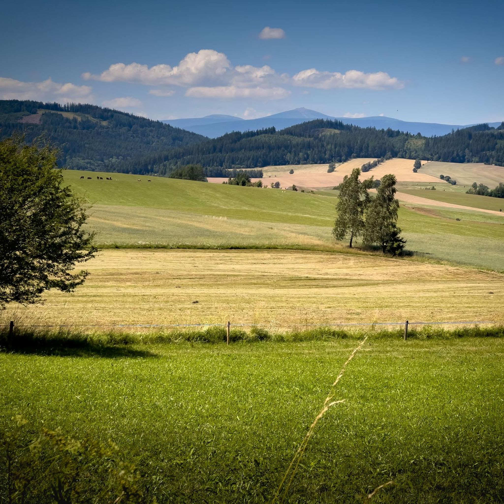
Mountaineering around gmina Kamienna Góra offers diverse terrain within the Lower Silesian Voivodeship, situated at the intersection of the Western and Central Sudetes. The region is characterized by surrounding mountain ranges including the Rudawy Janowickie, Góry Kamienne, and parts of the Karkonosze, providing a variety of peaks and valleys. Notable features include Zadzierna Hill (724 m a.s.l.) and Skalnik (945 m a.s.l.), the highest peak in the Rudawy Janowickie. This geographical setting provides numerous opportunities for varied mountaineering routes.
Best…
Last updated: July 4, 2026
4.8
(13)
72
hikers
15.4km
05:14
760m
760m
Hard mountaineering route. Very good fitness required. Easily-accessible paths. Suitable for all skill levels.
4.8
(9)
72
hikers
5.02km
01:36
210m
210m
Easy mountaineering route. Great for any fitness level. Easily-accessible paths. Suitable for all skill levels.

Sign up for free
5.0
(8)
52
hikers
Moderate mountaineering route. Good fitness required. Easily-accessible paths. Suitable for all skill levels.
5.0
(2)
11
hikers
8.54km
02:45
350m
350m
Moderate mountaineering route. Good fitness required. Easily-accessible paths. Suitable for all skill levels.
5.0
(2)
12
hikers
11.7km
03:42
470m
470m
Moderate mountaineering route. Good fitness required. Easily-accessible paths. Suitable for all skill levels.
Get access to more routes and recommendations from other explorers.
Sign up for free
Already have an account?
Our route recommendations are based on thousands of hikes, rides, and runs completed by other people on komoot.
Start today with a free account
Your next adventure awaits.
Login or Signup
Popular around gmina Kamienna Góra

Other adventures around gmina Kamienna Góra

Tips from the Community

If you go to Sněžka in the summer, wear autumn clothes. If you go to Sněžka in the autumn, wear winter clothes. If you go to Sněžka in the winter, wear clothes that you would also wear in the Arctic! And if you go to Sněžka in the spring, wear clothes for all four seasons. 🌦️😅
6
0


It's worth taking a rest before continuing your journey
0
0

From here the views of Śnieżka are simply divine. The gods of Olympus have descended to earth! The Rock Table (1281m) is the highest point on the Kowarski Grzbiet. Its name refers to the rocks here, which look like benches. Śnieżka is visible behind Czarny Grzbiet, and from here we can also see Kocioł Łomniczka, Kotlina Jeleniogórska and Rudawy Janowickie.
2
0
Fantastic view east towards Wałbrzych and further just north of Graniczne Budy. Beautiful panorama in almost any weather.
0
0
There are no views from Skalnik, which is in the forest, but there are views here, and they are great! You are here at an altitude of 945 m. Some say that from here there is the most beautiful panorama in the entire Sudetes!
1
0
Interesting rocks! - not far from Skalnik and Ostra Mała. And with an equally interesting name! I don't expect to find the Apocalypse riders here, but just a good place to relax in the forest in the company of natural wonders...
1
0
It is the highest peak in Rudy Janowickie, at 945m, but unfortunately it is located in the forest, so there are no views. Nearby is Ostra Mała - from which there are views. Nevertheless, if you are here, you have been or have been to the highest peak here, and that counts!
0
0
Frequently Asked Questions
How many mountaineering routes are available in gmina Kamienna Góra?
There are over 35 mountaineering routes in gmina Kamienna Góra, offering a wide range of experiences. These include 4 easy routes, 19 moderate routes, and 14 difficult routes, catering to various skill levels.
Are there any family-friendly mountaineering routes in gmina Kamienna Góra?
Yes, gmina Kamienna Góra offers several easy routes suitable for families. A good option is the Ostra Mała Viewpoint – View from Ostra Mala loop from Czarnów, which is about 5 km long and takes around 1 hour 36 minutes to complete, leading through varied terrain to a scenic viewpoint.
What are the most unique natural attractions to see along the routes?
The region is famous for its unique natural features. The Purple Pond and Blue Pond (Błękitne Jeziorko), part of the 'Colored Lakes' in Rudawy Landscape Park, are a must-see. These lakes display distinct hues due to various minerals. You can also find impressive rock formations like 'Spękane Skały' (Cracked Rocks) near Stróża hill.
Are there any routes that offer historical landmarks or castles?
Yes, some routes pass near historical sites. For example, the Rudawy Janowickie area features the Bolczów Castle Ruins, which is an easy loop. Other nearby castles and palaces include Wojanów Palace and Lomnica Palace, which can be explored in conjunction with your mountaineering trips.
Which routes offer the best panoramic viewpoints?
Many routes in the region provide excellent viewpoints. The Ostra Mała Viewpoint – View from Ostra Mala loop from Czarnów is specifically designed to lead to a great vista. Additionally, peaks like Zadzierna (724 m a.s.l.) and Skalnik (945 m a.s.l.) offer expansive views of the surrounding Karkonosze, Rudawy Janowickie, and Góry Kamienne ranges.
Are there challenging routes for experienced mountaineers?
Absolutely. For experienced mountaineers, the region offers difficult routes such as the Skalny Stół Peak – Śnieżka (Schneekoppe) Summit loop from Pomezní boudy. This 15.4 km trail involves significant elevation gain and connects two prominent peaks, Skalny Stół and Śnieżka, requiring good fitness and sure-footedness.
What do other mountaineers say about the routes in gmina Kamienna Góra?
The mountaineering routes in gmina Kamienna Góra are highly rated by the komoot community, with an average score of 4.9 stars from over 160 reviews. Over 900 mountaineers have explored the varied terrain, often praising the diverse landscapes, well-maintained trails, and the captivating natural wonders like the Colored Lakes.
Are there any circular mountaineering routes?
Yes, many routes in gmina Kamienna Góra are designed as loops, allowing you to start and end at the same point. Examples include the Jelenka Mountain Hut – Śnieżka (Schneekoppe) Summit loop from Pomezní boudy and the Skalny Stół Peak – Jelenka Mountain Hut loop from Pomezní boudy, providing convenient options for your trip.
What is the best time of year for mountaineering in gmina Kamienna Góra?
The region offers mountaineering opportunities throughout the year. Spring and autumn provide pleasant temperatures and vibrant scenery, while summer is ideal for longer days and higher altitude treks. Winter mountaineering is also possible, especially in the Karkonosze, but requires appropriate gear and experience due to snow and ice conditions.
Is public transport available to access mountaineering trailheads?
While specific public transport details for every trailhead can vary, gmina Kamienna Góra is generally accessible. Local bus services connect some villages and towns, which may provide access points to the mountain ranges. It's advisable to check local transport schedules for specific routes and starting points before your trip.
Are there options for moderate difficulty routes?
Yes, the majority of routes in gmina Kamienna Góra are of moderate difficulty, with 19 such options available. A popular choice is the Jelenka Mountain Hut – Śnieżka (Schneekoppe) Summit loop from Pomezní boudy, a 14.2 km path that takes approximately 4 hours 45 minutes, offering a rewarding experience without extreme challenges.
Most popular routes around gmina Kamienna Góra
Most popular attractions around gmina Kamienna Góra

Get inspired with the komoot mobile app


Explore more
Browse the best Mountain Hikes & Routes in other regions.
