The best walks and hikes around Geschwenda
4.6
(24319)
82,326
hikers
56
hikes
Hiking around Geschwenda offers access to the northern slopes of the Thuringian Forest, characterized by diverse natural landscapes. The region features mountainous terrain with elevations such as the 635-meter Alte Burg to the west and the 496-meter Geschwendaer Berg to the south. The village is traversed by the Wirrbach, adding riparian elements to the scenery. This area provides varied hiking experiences through forests and open hillsides.
Best hiking trails around Geschwenda
- The most popular hiking route is View of Schneekopf…
Last updated: October 13, 2026
4.3
(12)
32
hikers
10.8km
03:07
230m
230m
Moderate hike. Good fitness required. Mostly accessible paths. Sure-footedness required.
4.8
(12)
40
hikers
7.04km
02:04
190m
190m
Moderate hike. Good fitness required. Easily-accessible paths. Suitable for all skill levels.

5.0
(5)
23
hikers
2.94km
00:49
50m
50m
Easy hike. Great for any fitness level. Easily-accessible paths. Suitable for all skill levels.
4.6
(5)
16
hikers
9.48km
02:38
170m
170m
Moderate hike. Good fitness required. Easily-accessible paths. Suitable for all skill levels.
5.0
(1)
12
hikers
Easy hike. Great for any fitness level. Easily-accessible paths. Suitable for all skill levels.
Get access to more routes and recommendations from other explorers.
Already have an account?
Our route recommendations are based on thousands of hikes, rides, and runs completed by other people on komoot.
Start today with a free account
Your next adventure awaits.
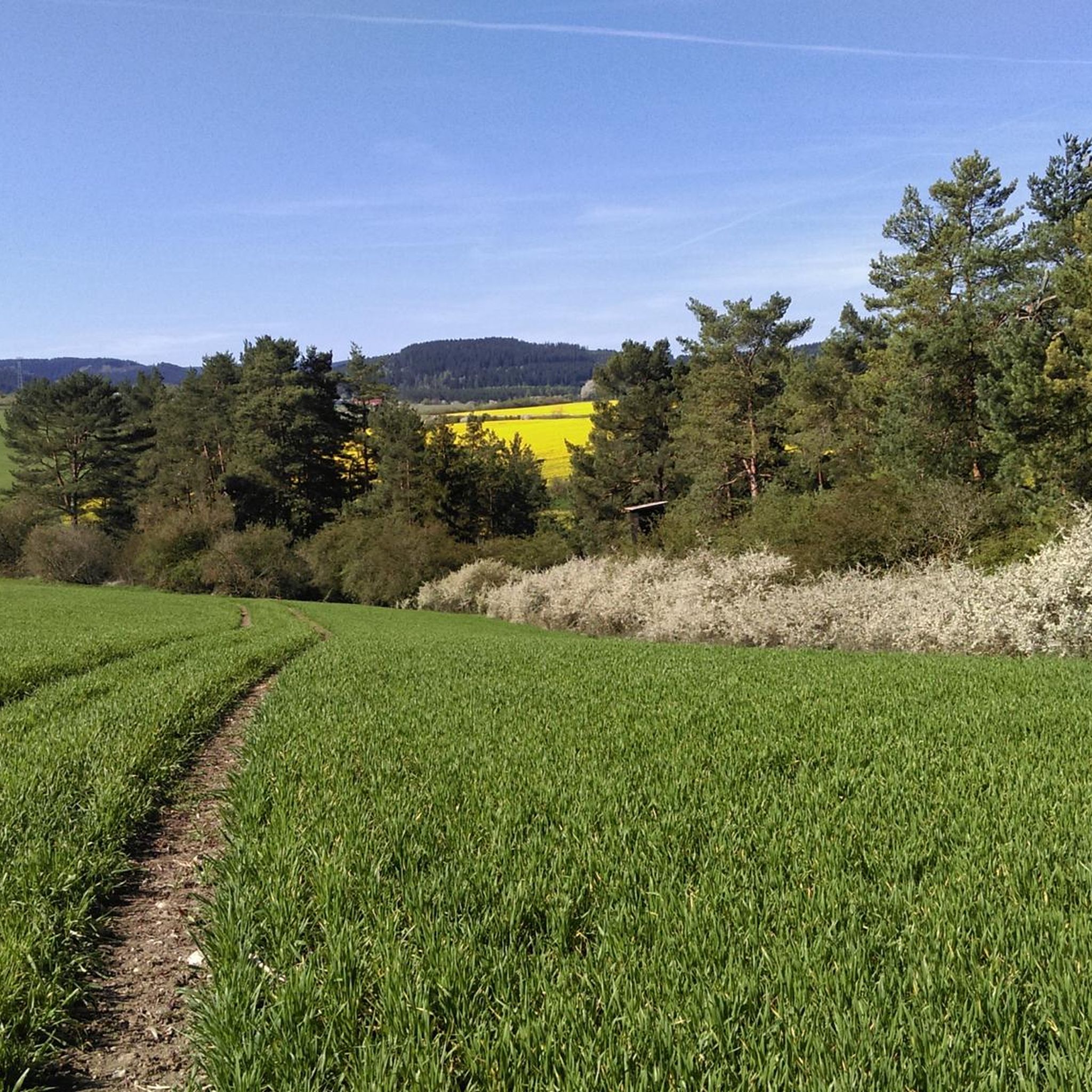
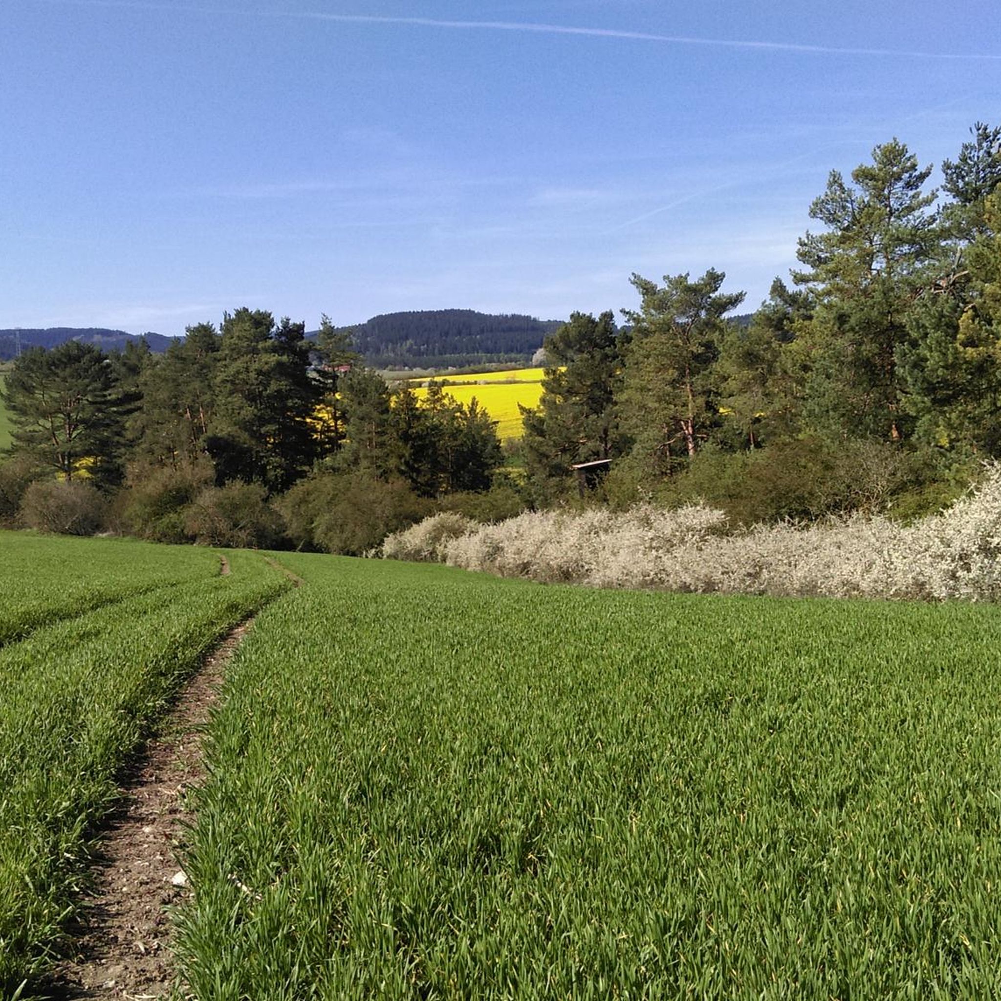

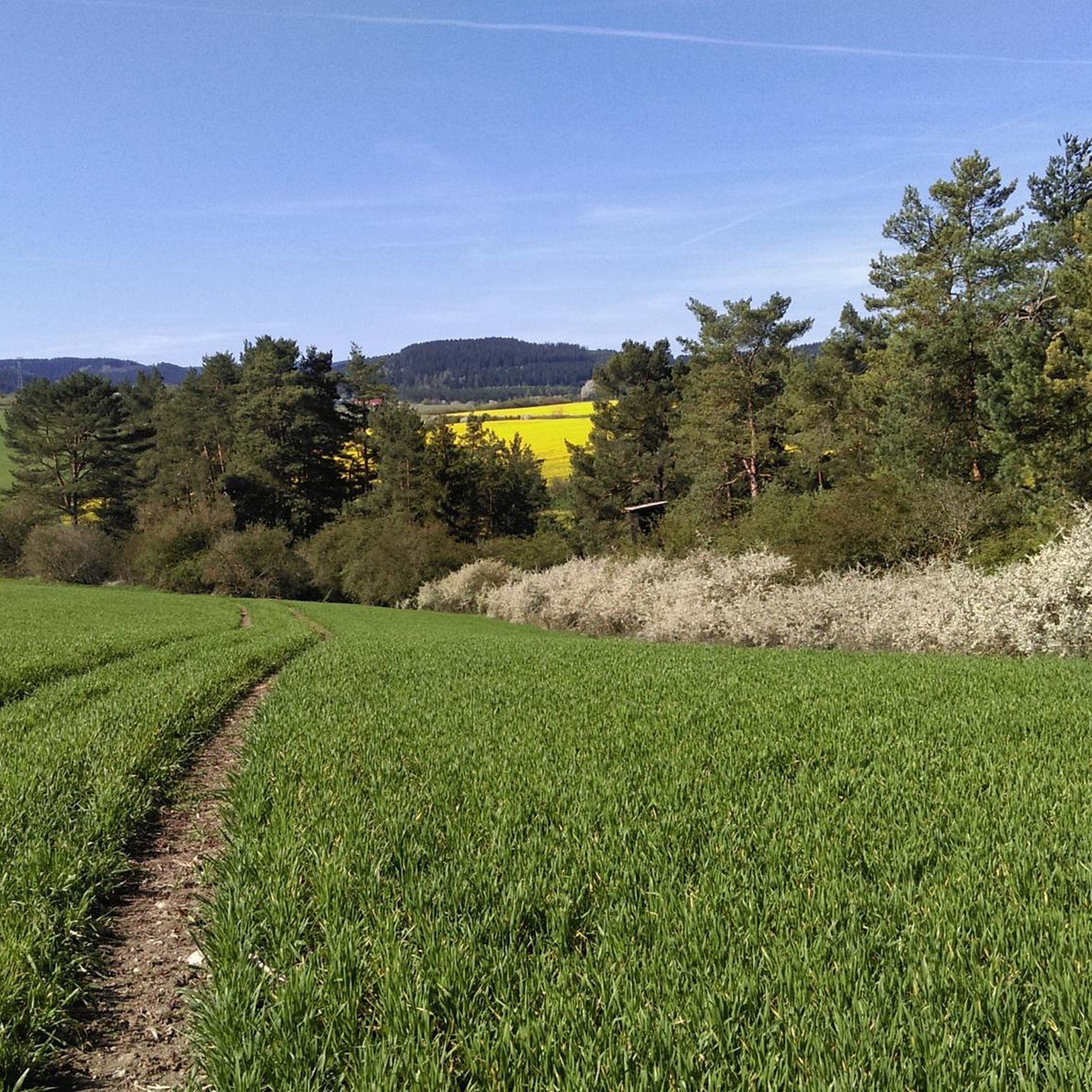
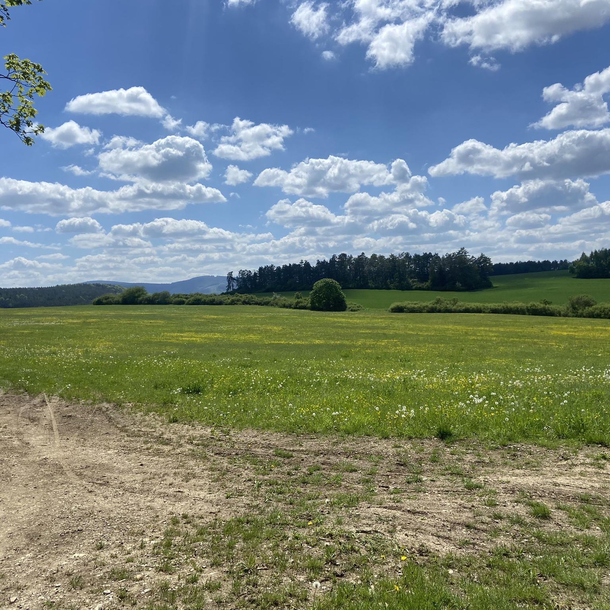
Tips from the Community

Picnic in the valley, a shared experience before or after a hike through the valley, either to Gehlberg or to the "Mönchshof".
1
0

The absolute PEACE that is here.
0
0

Bench with a view of the former settlement at the foot of the Alteburg.
2
0

Gate with bench and information boards. Why the gate is right here where it actually leads out of the forest, only the fox knows. 🤷♂️😅
1
0
Bench with a view of the former settlement at the foot of the Alteburg.
2
0
Robber's castle or "Alteburg" 🏰 Legendary ruin from the High Middle Ages ⚔️ The so-called "robber's castle", which is the subject of several legends from the Thuringian Forest, is also often referred to as "Alteburg". The ruin is a rectangular fortification from the High Middle Ages that served to protect the former trade route from Erfurt across the Thuringian Forest to southern Germany. The rampart in the east, remnants of the ring wall (reconstructed), the cistern and the moat are still preserved today. The castle was probably built in 1150 by the Counts of Käfernburg. The name "robber's castle" seems to be based on the fact that the complex passed into the possession of robber barons several times during various battles in the 13th century. The ruins are a popular tourist destination. It is located on the western spur of the Arlesberg in Gräfenroda between Dörrberg and Geschwenda on the northern edge of the Thuringian Forest, above the Erfurt-Oberhof-Suhl railway line, which runs through the valley of the Wild Gera.
4
0
Best view of the A71 and the Schneekopf with a bench "South Thuringia's most beautiful views"
2
0
Frequently Asked Questions
How many hiking trails are available around Geschwenda?
There are over 50 hiking trails around Geschwenda, offering a variety of experiences. These include routes through the Thuringian Forest, along the Wirrbach valley, and up to local peaks.
Are there easy hiking trails suitable for beginners in Geschwenda?
Yes, Geschwenda offers many easy hiking options. Out of the 56 available routes, 37 are classified as easy, making them perfect for beginners or those looking for a relaxed walk. An example is the St. Nikolai Church Geschwenda – Rest Area in Dörrbergtal loop from Geschwenda, which is about 5.2 km long.
Can I find circular hiking routes in the Geschwenda area?
Yes, the region is well-suited for circular hikes. Many trails are designed as loops, allowing you to start and end at the same point. For instance, the Rainwegswiese Nature Reserve – Glück Auf Rest Area loop from Gräfenroda offers a varied circular experience.
What kind of landscapes can I expect to see while hiking near Geschwenda?
Hiking around Geschwenda offers diverse landscapes, from the dense forests of the Thuringian Forest to open hillsides like the Geschwendaer Berg and Kammberg. You'll also encounter riparian elements along the Wirrbach, and potentially protected moor biotopes. The area is known for its captivating scenery and diverse wildlife.
Are there any notable viewpoints or landmarks along the hiking trails?
Yes, the region boasts several viewpoints and landmarks. You can find panoramic vistas from the Kickelhahn Tower or Plänckner's viewpoint on the Großer Beerberg. The ruins of Alteburg (Raubschloss) on the Dörrberg also offer a historical point of interest. The View of Schneekopf – Trail to Geratal Viewpoint loop from Gräfenroda provides views towards the Schneekopf.
Are there family-friendly hiking options in Geschwenda?
Many of the easy trails are suitable for families. The revised circular hiking route, updated in 2022, is approximately 10 km long and rated as easy, offering picturesque views that can be enjoyed by families. Shorter, less strenuous loop trails are also available.
Where can I park when hiking in Geschwenda?
A convenient starting point for many hikes is the "Steintreppchen" hiking car park, located between Gräfenroda and Geschwenda. This car park provides access to the local circular hiking route and serves as a Nature Park Gate information point.
What do other hikers enjoy most about hiking in Geschwenda?
The hiking trails in Geschwenda are highly rated by the komoot community, with an average score of 4.6 stars from over 200 reviews. Hikers often praise the varied terrain, the beautiful views of the Thuringian Forest, and the well-maintained paths that cater to different ability levels.
Are there places to eat or stay near the hiking trails?
Yes, the wider Thuringian Forest area, including around Geschwenda, features mountain huts and hostels. For example, the Neue Gehlberger Hütte on Schneekopf is the highest-altitude serviced hut in Thuringia, offering rest and traditional cuisine. Geschwenda itself also has local cafes and restaurants.
Can I access the famous Rennsteig trail from Geschwenda?
Geschwenda's location provides easy access to the renowned Rennsteig trail. This offers opportunities for more extensive hiking with breathtaking countryside views, including viewpoints like Plänckner's viewpoint on the Großer Beerberg.
What is the best time of year to go hiking in Geschwenda?
The Thuringian Forest region around Geschwenda is beautiful year-round. Spring brings blooming flora, summer offers lush green landscapes, and autumn provides vibrant fall colors. Even winter hikes can be rewarding, though some trails might require appropriate gear for snow and ice.
Are there any lakes or water features to see on hikes?
While the Wirrbach river runs through the village, the nearby attractions include several lakes and dams. You can explore areas around Lütsche Dam, Ohratalsperre Dam, or Heyda Reservoir, which are accessible from Geschwenda.
Most popular routes around Geschwenda
Most popular attractions around Geschwenda

Get inspired with the komoot mobile app


Explore more
Browse the best Hikes in other regions.
