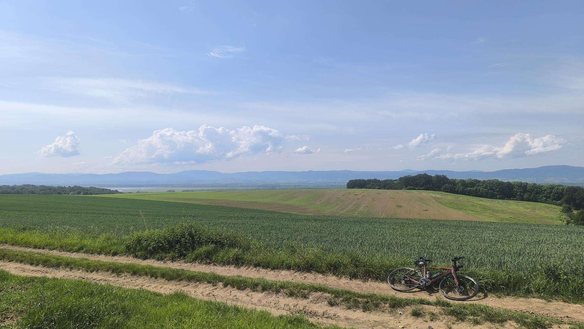
The best running trails around Przeworno
3.9
(7)
300
runners
55
runs
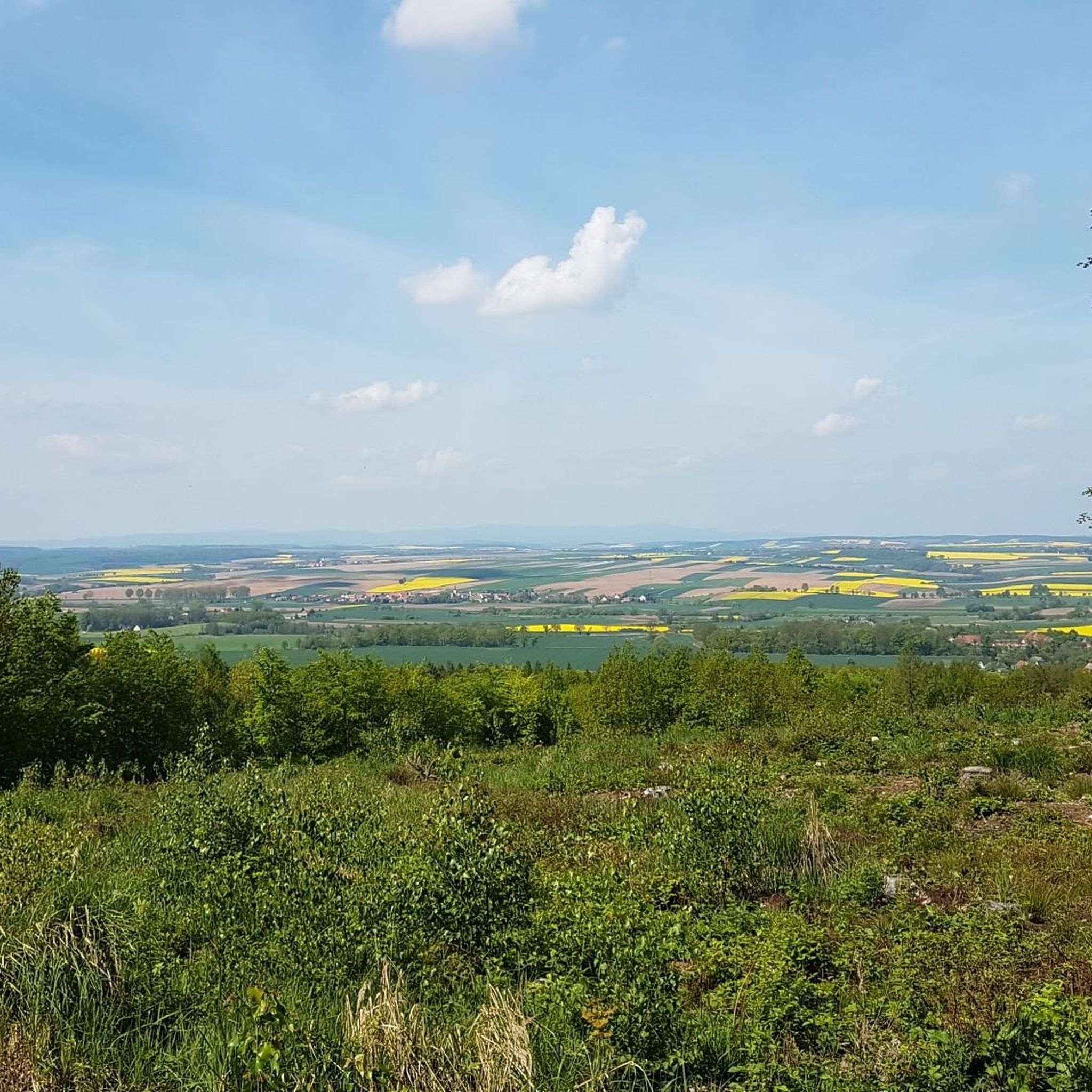
Jogging around Przeworno offers diverse landscapes, characterized by rolling hills, nature reserves, and varied forest types. The region features a network of trails suitable for different fitness levels, from gentle paths to more challenging routes with significant elevation gain. Runners can explore areas with pine, alder, beech, and oak stands, often encountering moraine ridges that add to the terrain's variety. This environment provides both scenic beauty and stimulating physical activity for those seeking running routes in Przeworno.
Best jogging routes…
Last updated: July 4, 2026
29
runners
19.4km
02:26
370m
370m
Hard run. Very good fitness required. Mostly paved surfaces. Suitable for all skill levels.
23
runners
15.0km
01:55
310m
310m
Hard run. Very good fitness required. Mostly paved surfaces. Suitable for all skill levels.

Sign up for free
4.5
(2)
22
runners
12.9km
01:39
250m
250m
Moderate run. Good fitness required. Mostly paved surfaces. Suitable for all skill levels.
8
runners
16.6km
02:15
500m
500m
Hard run. Very good fitness required. Mostly paved surfaces. Suitable for all skill levels.
7
runners
5.76km
00:39
30m
30m
Moderate run. Good fitness required. Mostly paved surfaces. Suitable for all skill levels.
Get access to more routes and recommendations from other explorers.
Sign up for free
Already have an account?
Our route recommendations are based on thousands of hikes, rides, and runs completed by other people on komoot.
Start today with a free account
Your next adventure awaits.
Login or Signup

Frequently Asked Questions
What kind of terrain can I expect on running routes around Przeworno?
The region around Przeworno is characterized by diverse terrain, offering everything from gentle hills and river valleys to dense woodlands. You'll find paths winding through extensive forest ecosystems, including Carpathian beech and mixed forests, which provide shaded routes ideal for warmer months. The landscape, composed of flysch, sandstones, and shales, ensures a varied running experience with different surfaces and inclines.
Are there running routes suitable for beginners or those looking for an easier jog?
Yes, Przeworno offers routes for various fitness levels. While many trails feature significant elevation, there are also easier options. For instance, komoot lists 2 easy routes and 26 moderate routes, ensuring you can find a path that matches your comfort level. These often involve less strenuous climbs and more even surfaces, perfect for a relaxed run.
Which running trails offer the best views or scenic points?
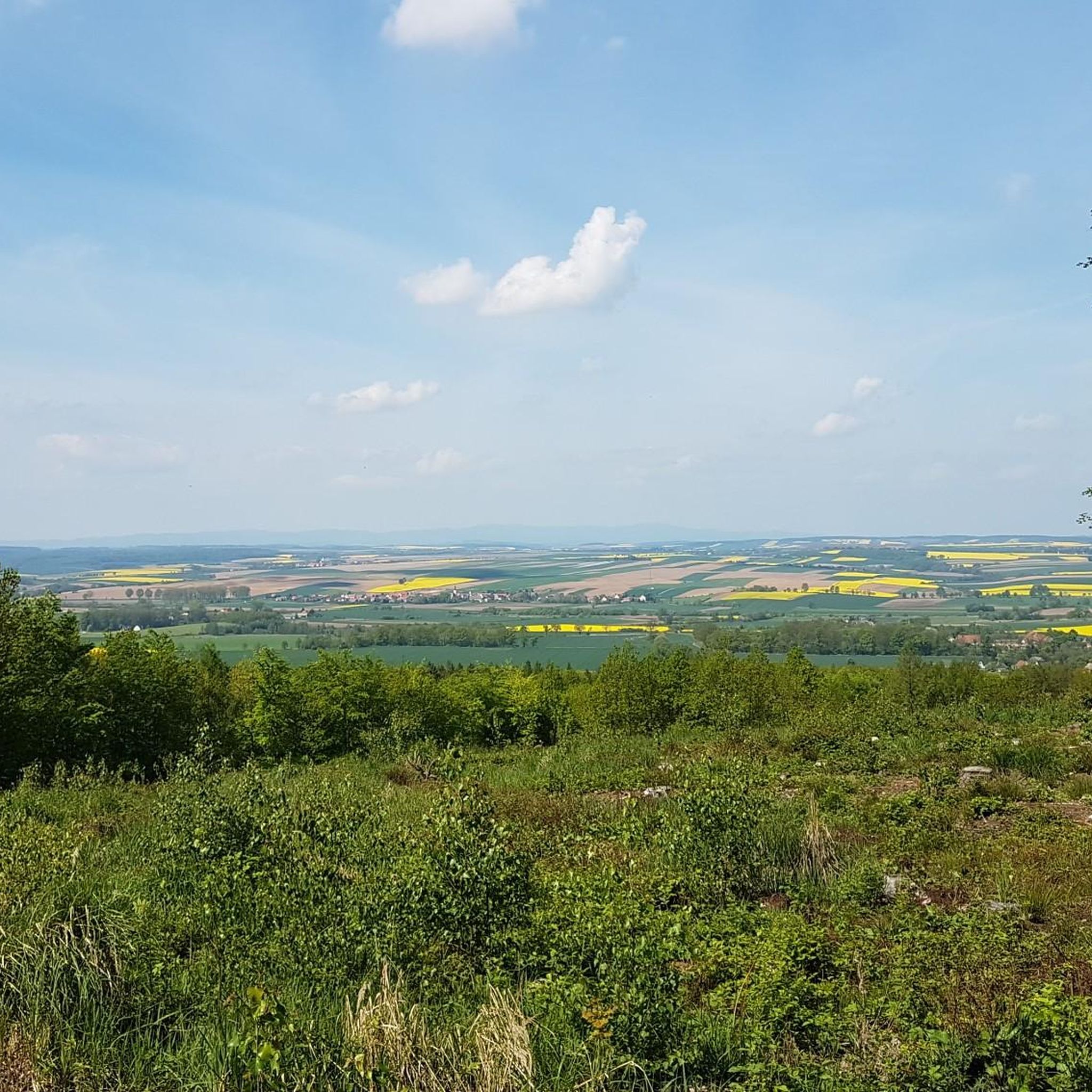
Many routes in the Przeworno area provide excellent scenic views. The ascent to Góra Gromnik, for example, offers panoramic vistas from its summit observation tower, encompassing the Sowie Mountains, Bardzkie Mountains, and the Wrocław Plain. You can experience this on the Gromnik loop from Kuropatnik. The general beauty of the Niemczańsko-Strzelińskie Hills Protected Landscape Area also ensures a tranquil and picturesque backdrop for your run.
Are there any circular running routes in Przeworno?
Yes, many of the running routes around Przeworno are designed as loops, allowing you to start and finish in the same location. Popular circular options include the Oporna Góra loop from Henryków and the Garnczarek – Gromnik loop from Krzywina. These loops provide a convenient way to explore the diverse landscapes without needing to retrace your steps.
What are some interesting landmarks or natural features I might encounter on a run?
Beyond the natural beauty, you can discover several interesting points. The Gromnik Observation Tower and Castle Ruins on Góra Gromnik offer both historical intrigue and stunning views. The Krzysztowe Dęby Nature Reserve is another notable natural feature, providing a serene environment for running amidst ancient oaks. You might also pass by the Muszkowicki Las Bukowy Nature Reserve, known for its beautiful beech forest.
What do other runners enjoy most about jogging in Przeworno?
The running routes in Przeworno are highly rated by the komoot community, with an average score of 4.5 stars from a few reviews. Runners often praise the diverse landscapes, from rolling hills to varied forest ecosystems, and the stimulating physical activity offered by the trails. The well-maintained natural paths and tranquil atmosphere of the protected landscape area are also frequently highlighted.
Are there any longer or more challenging running routes for experienced runners?
Absolutely. For those seeking a more strenuous workout, Przeworno offers several difficult routes with substantial elevation gain. The Folwarczna Góra – Kopa Nowoleska loop from Nowolesie is a challenging 16.6 km route with nearly 500 meters of elevation gain. The region's varied topography, including ascents to peaks like Góra Gromnik, provides ample opportunity for a demanding run.
What is the best time of year for running in Przeworno?
Przeworno offers good running conditions throughout much of the year. The extensive forest ecosystems, including Carpathian beech and mixed forests, provide shaded paths that are particularly ideal for running during warmer months. In spring and autumn, the changing foliage adds to the scenic beauty, while the cooler temperatures can be very pleasant for longer runs. Winter running is also possible, though conditions may vary with snow and ice.
Are the running trails in Przeworno suitable for families?
Many trails around Przeworno are described as having 'easily-accessible paths' and being 'suitable for all skill levels' for moderate hikes, which translates well for family-friendly jogging. While some routes are challenging, there are also easier and moderate options that families can enjoy together, especially those seeking a leisurely run through nature. Always check the route's difficulty and length to ensure it matches your family's fitness level.
Can I bring my dog on the running trails?
Generally, trails in protected landscape areas like the Niemczańsko-Strzelińskie Hills are dog-friendly, provided dogs are kept on a leash to protect wildlife and ensure the safety of other trail users. It's always a good idea to check local regulations for specific nature reserves or protected areas you plan to visit, but most natural paths are welcoming to responsible dog owners.
Are there options for parking near the running routes?
While specific parking information for every trailhead isn't always detailed, many established trails and popular starting points in regions like Przeworno typically have designated parking areas or roadside spots available. For routes starting from villages like Kuropatnik, Henryków, or Krzywina, you can often find parking within or on the outskirts of the settlement, providing convenient access to the trails.
Most popular routes around Przeworno
Most popular attractions around Przeworno

Get inspired with the komoot mobile app


Explore more
Browse the best Running Trails & Routes in other regions.
