The best walks and hikes around Lubochnia
4.6
(60)
556
hikers
88
hikes
Hiking around Lubochnia in Poland offers trails primarily through forested areas and river valleys. The region is characterized by gentle terrain, with routes often following the Pilica River and winding through nature reserves. Elevation changes are generally minimal, making many paths accessible for various fitness levels. These natural features provide opportunities for exploring diverse flora and fauna.
Best hiking trails around Lubochnia
- The most popular hiking route is Spała Reserve Loop, a 3.6 miles (5.7 km) trail that takes…
Last updated: July 4, 2026
4.8
(6)
7
hikers
5.73km
01:45
20m
20m
Hike an easy 3.6-mile (5.7 km) route through the Spała Reserve in Spała Landscape Park, featuring old-growth forests and the Pilica River va
34
hikers
5.38km
01:23
20m
20m
Easy hike. Great for any fitness level. Easily-accessible paths. Suitable for all skill levels.

Sign up for free
18
hikers
2.39km
00:37
10m
10m
Easy hike. Great for any fitness level. Easily-accessible paths. Suitable for all skill levels.
12
hikers
18.1km
04:37
70m
70m
Moderate hike. Good fitness required. Easily-accessible paths. Suitable for all skill levels.
18
hikers
3.85km
01:00
20m
20m
Easy hike. Great for any fitness level. Easily-accessible paths. Suitable for all skill levels.
Get access to more routes and recommendations from other explorers.
Sign up for free
Already have an account?
Our route recommendations are based on thousands of hikes, rides, and runs completed by other people on komoot.
Start today with a free account
Your next adventure awaits.
Login or Signup

Tips from the Community

Gravel path connecting Spała with Inowłódz.
0
0

At the House of Remembrance of the Struggle and Martyrdom of Polish Foresters and Woodcutters stands the Forester's Monument. It may not be a joyful occasion to stop here, but it is important to remember those who gave their lives, shot and murdered by the Soviet and German occupiers, as well as all those who died during the war.
0
0
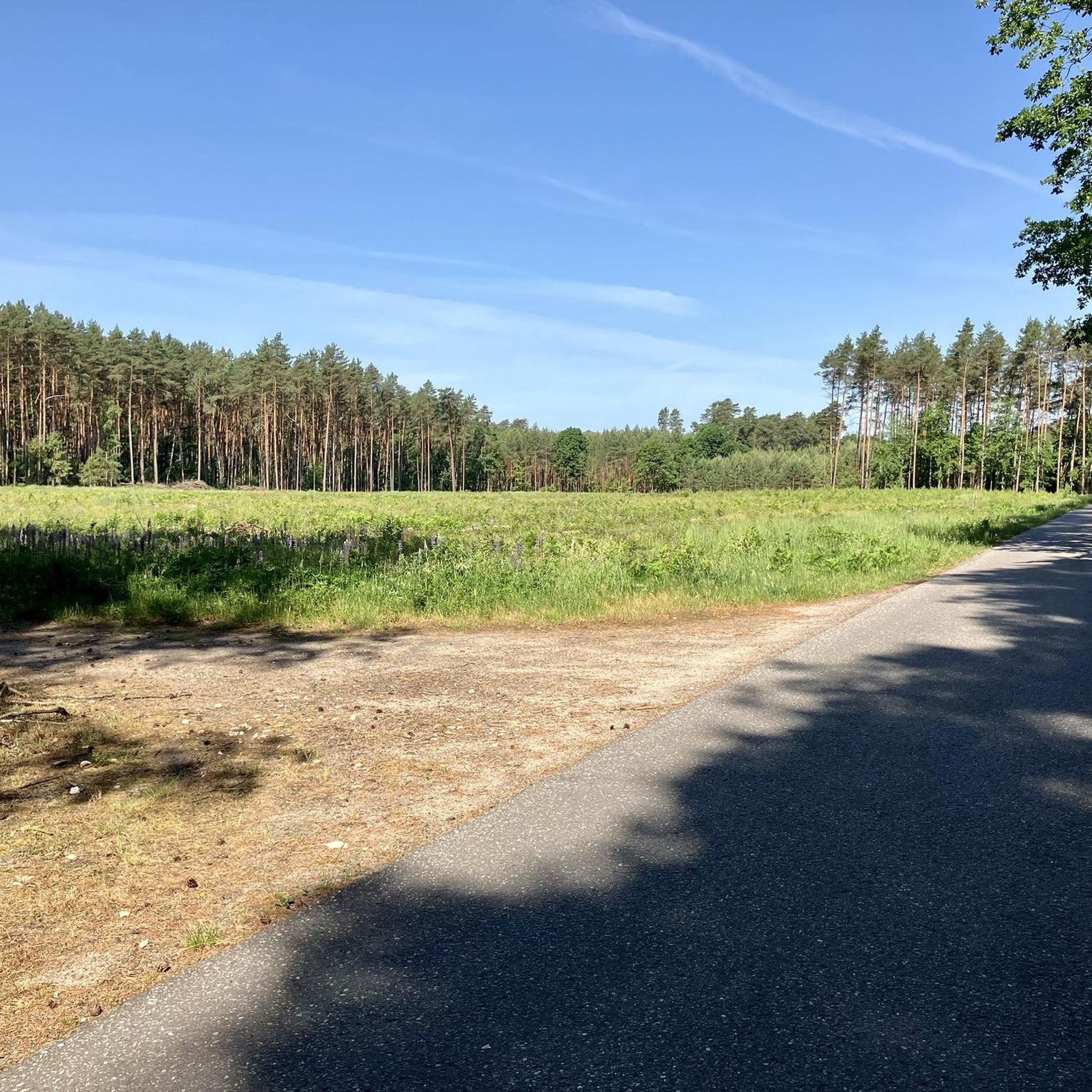
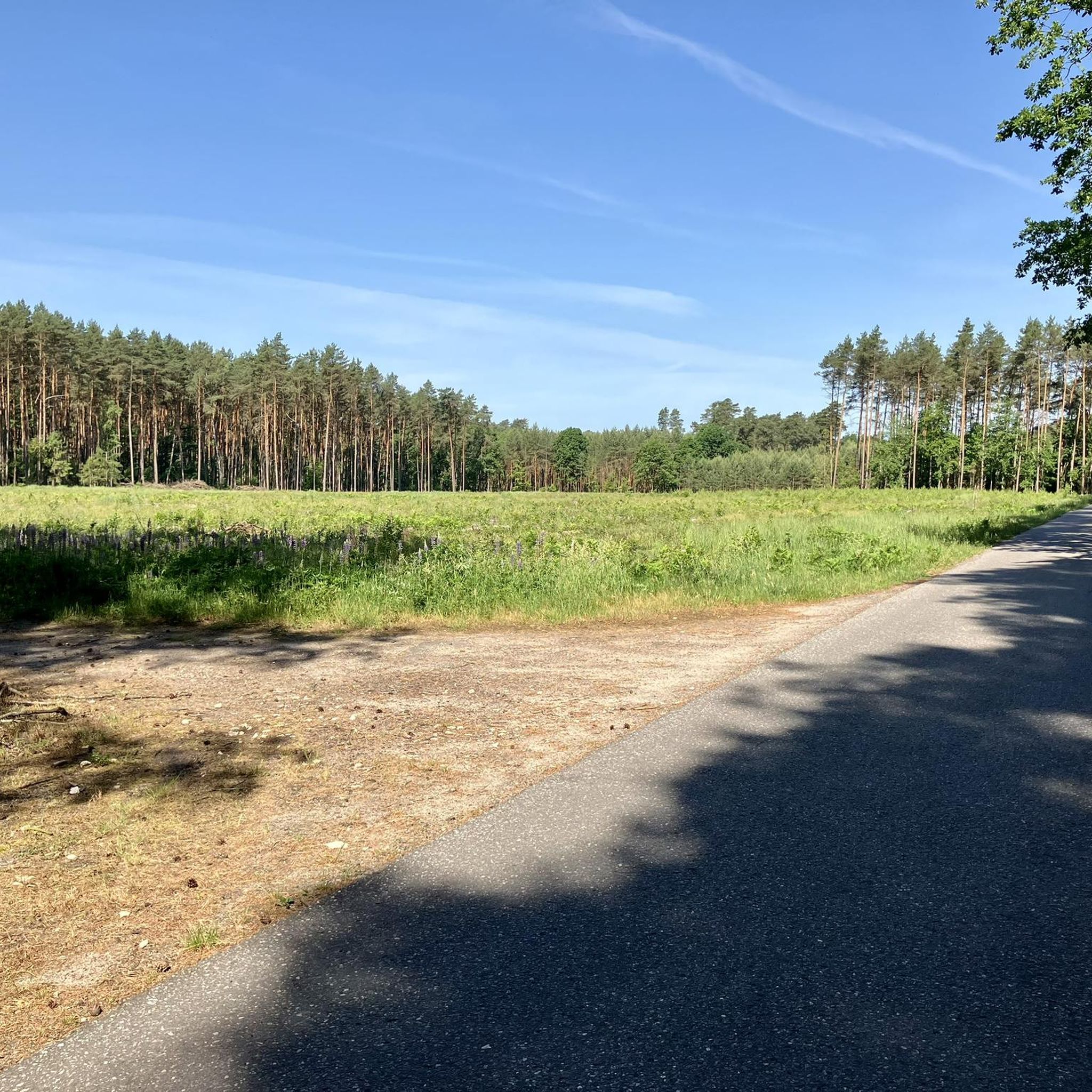
A surprisingly beautiful forest path along national road 48. The trees provide some protection from the sound of cars, and the walk is very pleasant. There is a parking space on the western side of this section, and it is also easy to get to the Pilica River by turning south using several paths along the way.
0
0
An unusual monument: an artificial cave built of boulders. It was created during hunting, when Tsar Alexander III had his residence in this area. Hence, on two of the boulders you will find the date 1894. There is also the date 1933 in honor of President Ignacy Mościcki, who tried to revive the tradition of St. Hubert. A separate boulder with the inscription Lord 1935 is in memory of Mościcki's favorite hunting dog.
0
0
Well maintained shelter in a really beautiful spot, with trees looking down on the Pilica River. On a sunny day, the views are really beautiful, and the sun rays shine through the trees, creating additional aesthetic effects. A great place for a picnic. Plus, Hubert's Grotto is right next door!
0
0

A holiday resort on the Pilica River in the former Pilicka Forest, currently the Spała Landscape Park. There are parks and forests around, great bicycle paths, you can spend many hours cycling here.
0
0


Frequently Asked Questions
How many hiking trails are available around Lubochnia?
There are over 60 hiking and walking routes available around Lubochnia. These trails cater to various preferences, with 42 easy routes and 25 moderate options, ensuring there's something for every fitness level.
What kind of terrain can I expect on hikes near Lubochnia?
Hikes around Lubochnia primarily feature gentle terrain, winding through forested areas and along river valleys, particularly the Pilica River. You'll find paths through places like Las Lubochnia and the Spała Landscape Park, with minimal elevation changes, making them accessible for most walkers.
Are there any family-friendly hiking options in Lubochnia?
Yes, Lubochnia offers many family-friendly hiking options due to its gentle terrain and numerous easy routes. Trails through the Niebieskie Źródła Nature Reserve are particularly suitable, offering educational paths amidst picturesque blue springs. Many of the 42 easy routes are perfect for families with children.
Can I bring my dog on the hiking trails around Lubochnia?
Most trails around Lubochnia, especially those through forests and along river paths, are generally dog-friendly. It's always recommended to keep your dog on a leash, especially in nature reserves like Niebieskie Źródła, to protect local wildlife and ensure a pleasant experience for all hikers.
What natural attractions or landmarks can I see while hiking near Lubochnia?
While hiking near Lubochnia, you can explore several natural attractions. The Niebieskie Źródła Nature Reserve is a must-see, known for its unique blue karst springs. You might also encounter the St. Hubert's Grotto or the Nagórzyce Caves, which are historical underground excavations.
Are there any circular hiking routes available?
Yes, there are several circular hiking routes. A popular choice is the Spała Reserve Loop, which is an easy 3.6-mile (5.7 km) trail. Another option is the Forester's Monument – Spała loop from Spała, an easy 2.8-mile (4.6 km) path through woodlands.
What do other hikers enjoy most about hiking in Lubochnia?
The hiking routes in Lubochnia are highly rated by the komoot community, with an average score of 4.7 stars. Hikers often praise the quiet woodlands, the gentle nature of the trails, and the opportunity to explore natural reserves like Niebieskie Źródła. The accessibility for various fitness levels is also frequently highlighted.
What is the best time of year to go hiking in Lubochnia?
The best time to hike in Lubochnia is typically during spring, summer, and early autumn. These seasons offer pleasant weather for exploring the forested paths and river valleys. Spring brings blooming flora, while autumn showcases beautiful fall colors. Winter hikes are possible but require appropriate gear for potentially snowy or icy conditions.
Are there any historical sites or cultural points of interest along the trails?
Yes, beyond natural beauty, you can find historical and cultural points. The Nagórzyce Caves are 18th-century quartz mine excavations with local legends. The Pilica River Open-Air Museum is also nearby, offering insights into the region's heritage. The Spała Landscape Park itself has a rich history tied to its old-growth forests.
Is public transport available to reach hiking trailheads near Lubochnia?
Information on specific public transport routes directly to all trailheads is limited. However, Lubochnia is located near Tomaszów Mazowiecki, which has regional transport links. It is advisable to check local bus schedules or consider driving to access the more remote trail starting points.
Where can I find parking for hiking trails around Lubochnia?
Parking is generally available at or near popular trailheads, especially in areas like the Spała Landscape Park and the Niebieskie Źródła Nature Reserve. Look for designated parking areas near visitor centers or main access points to ensure convenient and safe parking for your hike.
Are there any longer, more challenging hikes in the area?
While many routes are easy, there are moderate options for those seeking a longer challenge. For example, the Forester's Monument loop from Tomaszów Mazowiecki is an 11.3-mile (18.1 km) trail that takes about 4 hours 38 minutes to complete, offering a more extensive exploration of the region's natural landscape.
Most popular attractions around Lubochnia

Get inspired with the komoot mobile app


Explore more
Browse the best Hikes in other regions.
