The best walks and hikes around Geroldshausen
4.5
(3459)
14,614
hikers
591
hikes
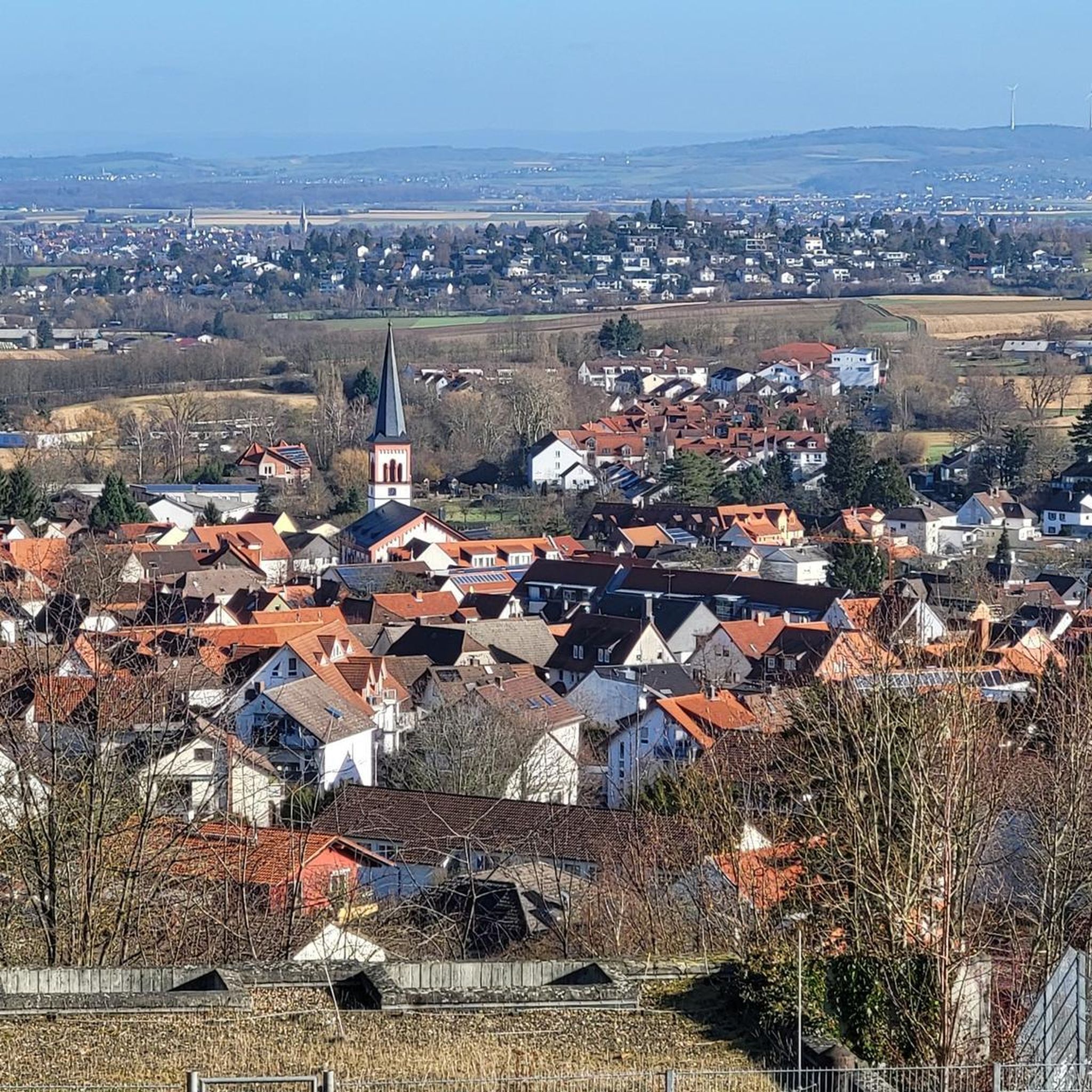
Hiking around Geroldshausen offers diverse landscapes at the foot of the Spessart Mountains, characterized by verdant green hills and extensive vineyards. The region is situated near the Main River, providing additional scenic beauty. This area is part of the Franconian Wine Country and the Charming Tauber Valley, featuring varied terrain suitable for outdoor activities.
Best hiking trails around Geroldshausen
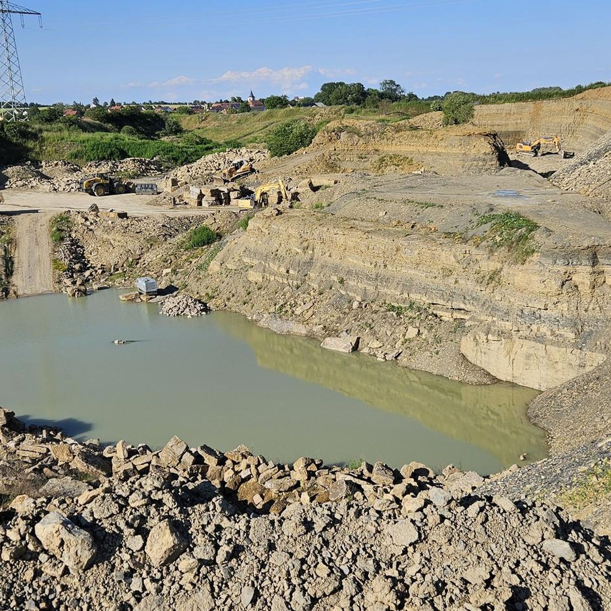
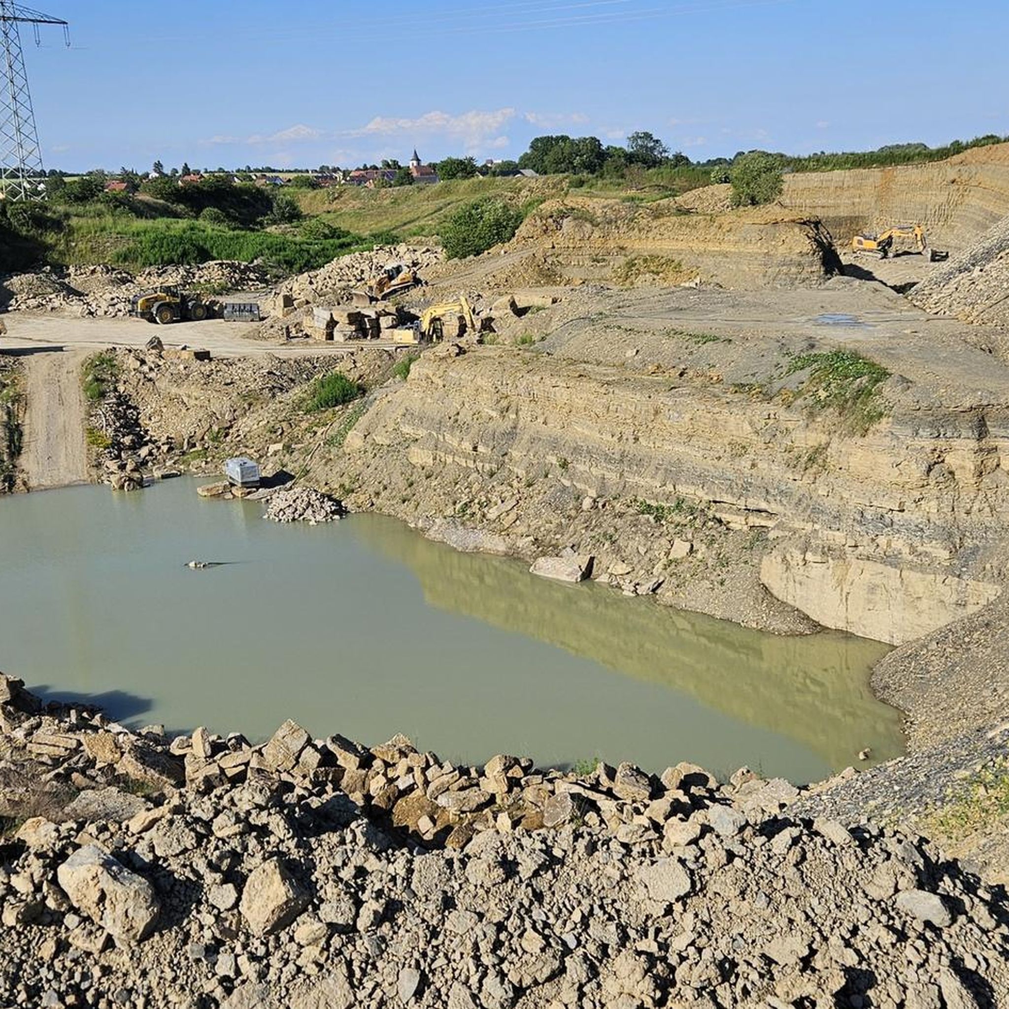
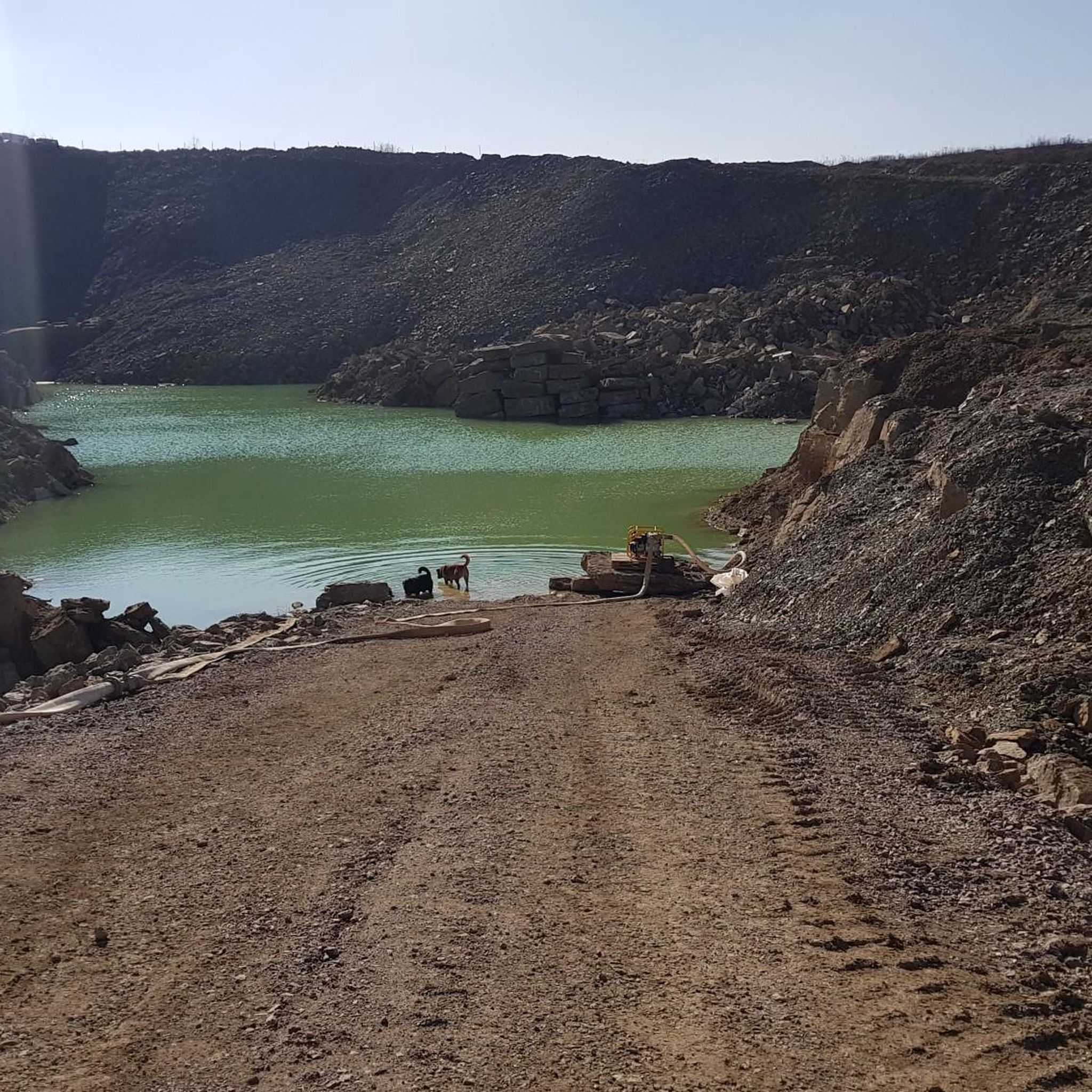
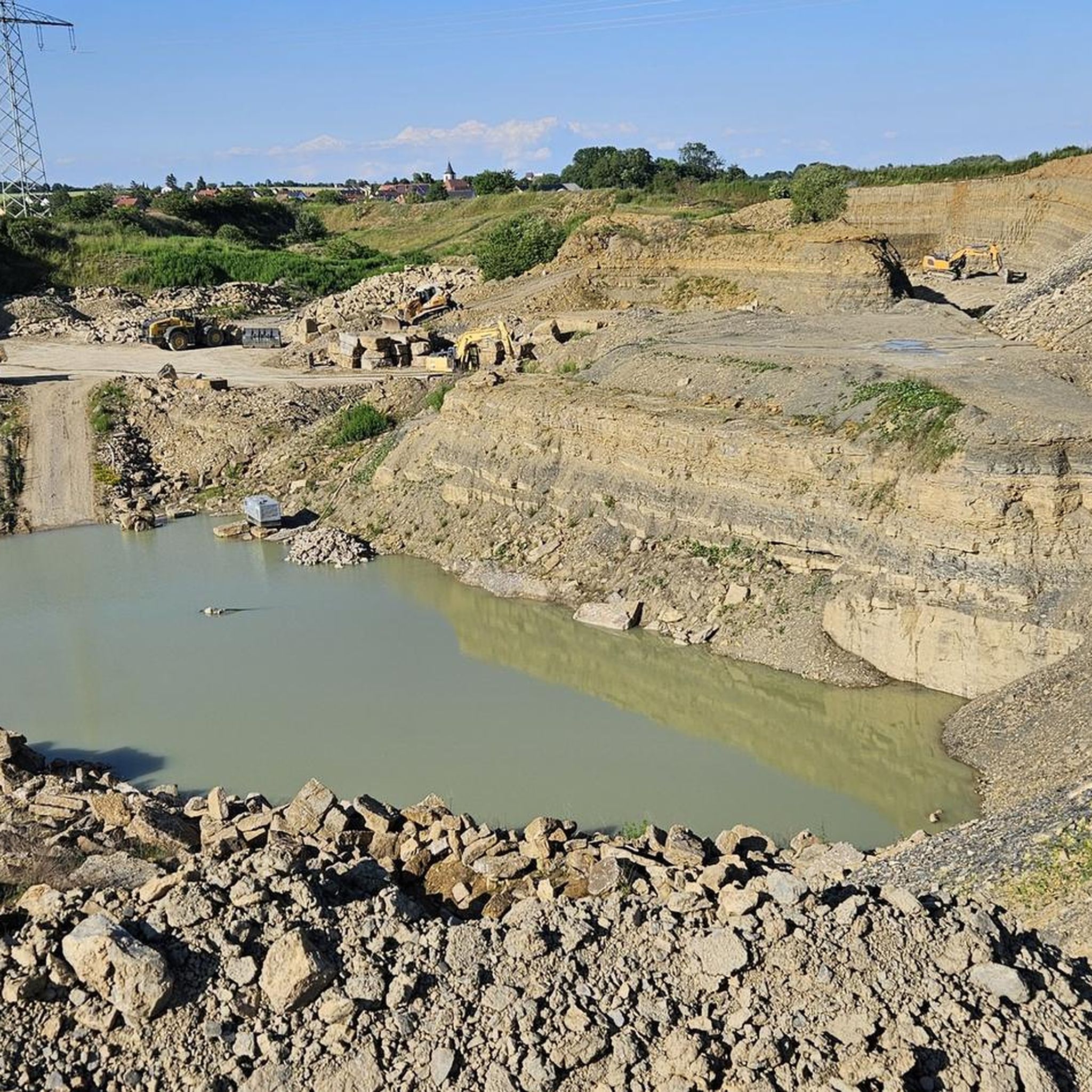
- The most popular hiking route is Woodland Fairy Sculpture – Leila-Brück Quarry loop from Kirchheim, a 4.9 miles (7.8 km)…
Last updated: July 1, 2026
3.9
(54)
30
hikers
Moderate hike. Good fitness required. Easily-accessible paths. Suitable for all skill levels.
4.4
(5)
12
hikers
8.80km
02:22
110m
110m
Moderate hike. Good fitness required. Easily-accessible paths. Suitable for all skill levels.

Sign up for free
5.0
(2)
14
hikers
8.82km
02:23
110m
110m
Moderate hike. Good fitness required. Easily-accessible paths. Suitable for all skill levels.
4.5
(4)
6
hikers
5.72km
01:32
60m
60m
Easy hike. Great for any fitness level. Easily-accessible paths. Suitable for all skill levels.
7
hikers
9.03km
02:26
120m
120m
Moderate hike. Good fitness required. Easily-accessible paths. Suitable for all skill levels.
Get access to more routes and recommendations from other explorers.
Sign up for free
Already have an account?
Our route recommendations are based on thousands of hikes, rides, and runs completed by other people on komoot.
Start today with a free account
Your next adventure awaits.
Login or Signup
Tips from the Community

The trail leads through the Irtenberger Forest FFH area, past numerous interesting natural areas, such as the so-called "Blutsee," a lowland moor. A very beautiful and idyllic setting. On foot, please avoid the Blutsee in the crescent shape. Not suitable for bicycles; only possible on foot. Mosquito repellent recommended; there are tree trunks along the trail that you have to climb. Most of them are relatively deep.
0
0

A carpool bench is an easy and convenient place to hope for a ride. Make your destination clear, be patient and friendly - this increases the chance that someone will stop.
3
0
Duck 🦆: This route could indicate a leisurely or family-friendly hiking trail that is fairly flat and easy to complete, similar to a duck's leisurely pace. Hare 🐇: A trail named "Hare", on the other hand, could be a medium difficulty route that is a little more challenging and requires a certain level of endurance, similar to the fast pace of a hare. Snail 🐌: The name "Snail" could suggest a slow or relaxed hiking trail, ideal for leisurely strolls or for people who prefer to explore at a leisurely pace.
8
0
The chapel near Limbachshof is a charming religious site that invites you to contemplate and reflect. With its picturesque architecture, it offers visitors a place of peace and spirituality.
0
0
The Blutseemoor near Kist is a nature reserve in the Irtenberger Forest, which is part of the fauna-flora-habitat areas (FFH). It is known for its swinging lawn, which is the largest in Lower Franconia and floats on an underground body of water. The name Blutsee comes from a type of algae that sometimes turns the water red. The moor is not allowed to be entered as it is life-threatening.
11
0

Beautiful, quiet place in the middle of the forest. A bench invites you to linger. You should take the path around the moor on foot and be considerate of nature.
1
0

Parking right near the highway
1
0

The Blutsee-Moor is a protected area designated in 1941. With an area of around 5.8 hectares, it offers the largest swinging lawn in Lower Franconia and a path around the blood lake that gives it its name, which is popular with walkers. It is a fen. The name goes back to a special type of red protozoa that occasionally multiplies en masse in the blood lake, making the lake appear more or less blood-red.
4
0
Frequently Asked Questions
How many hiking trails are available around Geroldshausen?
There are over 600 hiking trails available around Geroldshausen, offering a wide variety of options for different preferences and fitness levels. The komoot community has explored more than 15,000 routes in the area.
What kind of terrain can I expect when hiking near Geroldshausen?
Hiking near Geroldshausen offers diverse landscapes, primarily characterized by verdant green hills and extensive vineyards at the foot of the Spessart Mountains. You'll also find trails near the Main River, providing additional scenic beauty. The region is part of the Franconian Wine Country and the Charming Tauber Valley, ensuring varied and picturesque terrain.
What is the best time of year to go hiking in Geroldshausen?
Geroldshausen is an excellent destination for outdoor activities due to its picturesque location. Spring and autumn are particularly beautiful, with blooming vineyards or vibrant fall colors. Summer offers lush green landscapes, while the area's quiet charm makes it suitable for a relaxing escape year-round, though some trails might be less accessible in winter.
What do other hikers enjoy most about the trails in Geroldshausen?
The trails in Geroldshausen are highly rated by the komoot community, with an average score of 4.5 stars from over 3,300 reviews. Hikers often praise the diverse terrain, the tranquil atmosphere, and the scenic beauty of the vineyards and green hills.
Are there easy hiking trails suitable for beginners or casual walkers in Geroldshausen?
Yes, Geroldshausen offers many easy hiking trails. Out of over 600 routes, more than 380 are classified as easy, making them perfect for beginners, families, or those looking for a relaxed stroll through the scenic countryside.
Are there any circular hiking routes around Geroldshausen?
Many of the hiking routes around Geroldshausen are circular, allowing you to start and end at the same point. An example is the Hiking loop from Kleinrinderfeld, an easy 5.7 km trail.
What natural attractions or landmarks can I see along the hiking trails?
The region around Geroldshausen features several natural attractions and landmarks. You can explore highlights such as the Anna Gorge, the serene Laichsee in the Steinbach Valley, or the Blutsee-Moor Nature Reserve. There are also viewpoints like the View of the Main River and Ochsenfurt.
Are there any family-friendly hiking options in Geroldshausen?
Geroldshausen is considered an 'insider tip' for those seeking a quiet and relaxing escape, making it ideal for families. Many of the easy and moderate trails are suitable for families, allowing children to enjoy nature. The area's tranquil atmosphere and diverse landscapes provide a pleasant experience for all ages.
Can I bring my dog on the hiking trails in Geroldshausen?
The natural landscapes around Geroldshausen, with its green hills and woodlands, are generally welcoming for dogs. Most trails are suitable for walks with your canine companion, but always ensure your dog is on a leash where required and respect local wildlife and other hikers.
Are there places to stop for refreshments or rest during a hike?
Yes, the region offers various spots for refreshments. You might encounter huts and shelters like the Helferich Hut or the Winemakers' Shelter Lindelbach. Additionally, being close to the Franconian Wine Country, you may find opportunities to enjoy local wines and food.
How long do hikes near Geroldshausen typically take?
Hikes near Geroldshausen vary in length and duration. For example, the Woodland Fairy Sculpture – Leila-Brück Quarry loop from Kirchheim is a moderate 7.8 km trail that typically takes about 2 hours and 3 minutes. Shorter, easy trails can be completed in under an hour, while longer routes might take several hours.
Are there any trails that lead through vineyards?
Yes, the region around Geroldshausen is known for its extensive vineyards, being part of the Franconian Wine Country. Many hiking trails will lead you directly through these picturesque vineyards, offering unique scenic views and an immersive experience in the local landscape.
Is parking available at the trailheads?
While specific parking information for every trailhead isn't provided, Geroldshausen is a municipality in the Würzburg district, and many trailheads in such regions typically offer designated parking areas or roadside parking options. It's advisable to check local signage upon arrival.
Most popular attractions around Geroldshausen

Get inspired with the komoot mobile app


Explore more
Browse the best Hikes in other regions.
