The best MTB trails around Niegosławice
4.8
(7)
49
riders
20
rides
Mountain biking around Niegosławice offers access to diverse terrain, primarily within the Przemkowski Landscape Park. This region is characterized by extensive forests, numerous ponds, and varied post-glacial landscapes. Riders can expect a mix of hard gravel roads, some sandy sections, and undulating paths, providing a range of experiences for different skill levels. The area features a network of routes that traverse natural features like the Stawy Przemkowskie (Przemko Ponds) and the unique Pustynia Kozłowska (Kozłowska Desert).
Best mountain bike trails…
Last updated: October 10, 2026
4.0
(1)
10
riders
31.9km
02:36
440m
440m
Moderate mountain bike ride. Good fitness required. Suitable for all skill levels.
5.0
(1)
4
riders
49.4km
03:43
150m
150m
Moderate mountain bike ride. Good fitness required. Advanced riding skills necessary.

6
riders
21.5km
01:33
240m
240m
Hard mountain bike ride. Great for any fitness level. Advanced riding skills necessary. Some portions of the route may require you to push your bike.
4.5
(2)
5
riders
56.3km
03:57
170m
170m
Moderate mountain bike ride. Good fitness required. Suitable for all skill levels.
5.0
(1)
4
riders
33.2km
02:07
100m
100m
Moderate mountain bike ride. Good fitness required. Suitable for all skill levels.
Get access to more routes and recommendations from other explorers.
Already have an account?
Our route recommendations are based on thousands of hikes, rides, and runs completed by other people on komoot.
Start today with a free account
Your next adventure awaits.

Tips from the Community


In places quite large stones that shoot out from under the tires
0
0
The first written mention of the church dates back to 1418. There was a wooden temple before. In the years 1561–1637 the church was under the care of Protestants, until it was restored to Catholics in 1654. In 1681 the first serious fire took place; the next, larger ones, in 1719 and 1804, which destroyed a significant part of the building, including the tower and organs. The temple maintains a late Gothic form, with Baroque interior furnishings: Rococo altars, sculptures and a pulpit from the 18th century.
2
0
Originally an Evangelical church, built in 1744–1746. In 1775–1776 it underwent a thorough reconstruction, and the tower was added in the neo-Gothic style in 1871–1872 In 1949–1951 an Orthodox parish was organized. The first Liturgy was celebrated in the summer of 1949, and the formal handover of the temple took place on June 14, 1951.
2
0
It's definitely not Maja
2
0
Wide, gravel-paved forest road.
3
0
One of the 26 stations of the system, codenamed BARS 202, known as “Patera”, located near Wilkocin (approx. 51°28′40″N, 15°48′25″E), covered an area of approx. 8.5 ha and underground bunkers with a total area of ~2800 m². It was a Soviet strategic tropospheric communications system, used by the Warsaw Pact Armies as an independent and interference-resistant form of voice and data communication.
2
0
The dunes were formed after the last ice age receded (approx. 10,000 years ago), as a result of wind action — this is a natural, inland fragment of the aeolian landscape of the Lower Silesian Forests. The sand was exposed in the 20th century thanks to intensive artillery exercises — first German, and after World War II also Soviet — including rocket and missile tests, which led to fires and burning of vegetation. The training ground operated until 1992, which completely changed the structure of the terrain — bare sand fields were created
3
0
Frequently Asked Questions
How many mountain bike trails are available around Niegosławice?
There are 18 mountain bike trails around Niegosławice, offering a diverse range of experiences. These include 6 easy routes, 8 moderate routes, and 4 more challenging options for experienced riders.
What kind of terrain can I expect on mountain bike trails near Niegosławice?
The terrain around Niegosławice, particularly within the Przemkowski Landscape Park, is varied. You'll encounter extensive forests, numerous ponds, and post-glacial landscapes. Riders can expect a mix of hard gravel roads, some sandy sections, and undulating paths. Features like the unique Pustynia Kozłowska (Kozłowska Desert) add to the diverse riding conditions.
Are there any family-friendly mountain bike trails in the Niegosławice area?
Yes, the Niegosławice area offers several routes suitable for families. The Przemkowski Landscape Park features flat, wide, and simple gravel roads, especially around the Stawy Przemkowskie (Przemko Ponds), which are ideal for a more relaxed ride. There are 6 easy routes available, perfect for those looking for less strenuous options.
What are some notable landmarks or attractions to see while mountain biking around Niegosławice?
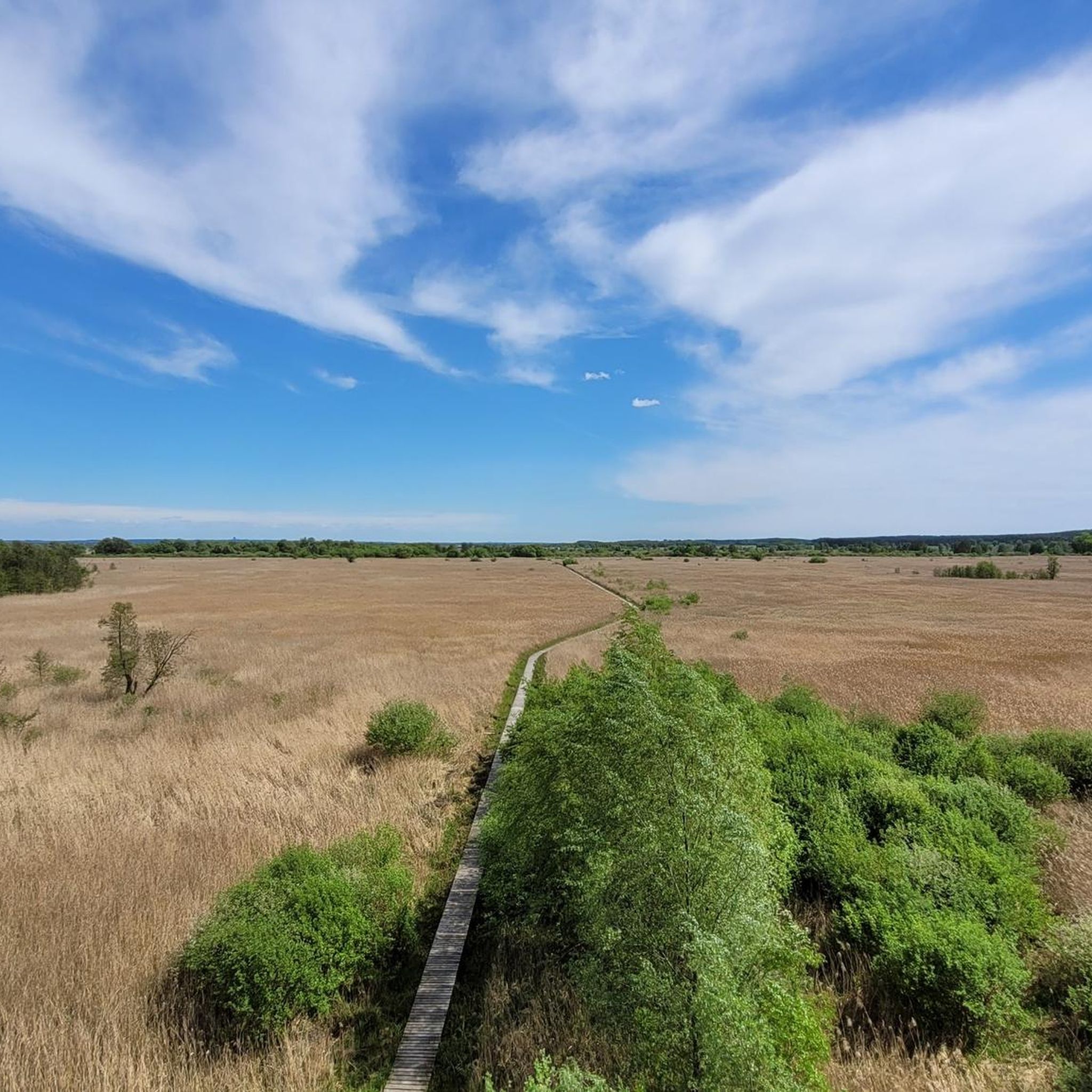
While mountain biking around Niegosławice, you can explore several interesting landmarks. The Chrobry Oak and the Viadrus Oak Natural Monument are impressive natural features. You might also encounter the observation tower with a view of the Przemkowski Park Krajobrazowy wetlands, offering scenic vistas. For a unique historical element, the ancient Ruins of the Abandoned Manor are also nearby.
Are there any circular mountain bike routes near Niegosławice?
Yes, many of the mountain bike routes around Niegosławice are designed as loops. For example, the Orthodox Church in Przemków – Church in Przemków loop from Przemków is a popular 49.6 km moderate trail. Another option is the Przemków Heath – Kozłowska Desert loop from Osiedle Głogowskie, which covers 58.5 km through unique landscapes.
What is the best time of year for mountain biking in the Niegosławice region?
The best time for mountain biking in the Niegosławice region, particularly within the Lubusz Voivodeship, is generally during the spring and autumn months. These seasons offer pleasant temperatures and less extreme weather, making for more comfortable riding conditions. Summer can also be good, but be prepared for potentially warmer weather and more visitors.
What do other mountain bikers say about the trails in Niegosławice?
The mountain bike trails around Niegosławice are highly rated by the komoot community, with an average score of 4.8 stars. Riders often praise the diverse forest paths, the unique landscapes of the Przemkowski Landscape Park, and the variety of routes catering to different skill levels.
Are there any challenging mountain bike trails for experienced riders?
Yes, there are challenging options for experienced riders. The area features 4 difficult routes, including the Advanced Downhill Trail – Szczepów Palace loop from Gostyń, which is 18.7 km long with significant elevation gain. Some routes in the Przemkowski Park Krajobrazowy are also recommended for experienced groups due to potentially difficult surfaces and sandy sections.
Is there parking available at the mountain bike trailheads?
While specific parking areas for every trailhead are not detailed, the Przemkowski Landscape Park, which hosts many of the trails, is generally accessible. It's advisable to check local information or komoot route details for specific starting points like Przemków or Osiedle Głogowskie, where parking is typically available for visitors.
Can I bring my dog on the mountain bike trails around Niegosławice?
Generally, dogs are welcome on trails in natural areas like the Przemkowski Landscape Park, provided they are kept under control, especially in areas with wildlife or other visitors. Always ensure your dog is on a leash where required and that you clean up after them to maintain the natural environment.
Are there any cafes or places to stop for refreshments near the mountain bike trails?
The towns and villages surrounding the Przemkowski Landscape Park, such as Przemków and Żagań, offer various amenities including cafes and pubs where you can stop for refreshments before or after your ride. It's a good idea to plan your route to pass through these locations if you wish to take a break.
What is the elevation gain like on the mountain bike trails in this region?
The Niegosławice region, influenced by post-glacial terrain, offers varied elevation. While some routes feature relatively flat sections, particularly around the Przemko Ponds, others include significant climbs. For instance, the Advanced Downhill Trail loop from Czerna has an elevation gain of over 430 meters, providing a good challenge for riders.
Most popular attractions around Niegosławice

Get inspired with the komoot mobile app


Explore more
Browse the best MTB trails in other regions.
