The best road cycling routes around Gerlosberg
4.4
(197)
5,540
riders
43
rides
Road cycling routes around Gerlosberg are characterized by the mountainous terrain of the Ziller Valley, featuring significant elevation changes and alpine scenery. The region offers a network of roads that wind through valleys, alongside rivers, and up challenging ascents. Road cyclists can expect varied landscapes, from forested sections to open mountain views. The area provides opportunities for both sustained climbs and more undulating valley rides.
Best road cycling routes around Gerlosberg
- The most popular road cycling route is Mayrhofen –…
Last updated: August 31, 2026
4.9
(20)
523
riders
46.4km
02:50
920m
920m
Hard road ride. Very good fitness required. Mostly well-paved surfaces and easy to ride.
4.7
(7)
223
riders
56.1km
02:57
1,020m
1,020m
Hard road ride. Very good fitness required. Mostly well-paved surfaces and easy to ride.

Sign up for free
4.6
(10)
178
riders
37.0km
02:03
610m
610m
Moderate road ride. Good fitness required. Mostly well-paved surfaces and easy to ride.
4.7
(6)
108
riders
37.4km
02:59
1,570m
1,570m
Hard road ride. Very good fitness required. Mostly well-paved surfaces and easy to ride.
5.0
(1)
20
riders
37.6km
02:42
1,070m
1,080m
Hard road ride. Very good fitness required. Some segments of this route may be unpaved and difficult to ride.
Get access to more routes and recommendations from other explorers.
Sign up for free
Already have an account?
Our route recommendations are based on thousands of hikes, rides, and runs completed by other people on komoot.
Start today with a free account
Your next adventure awaits.
Login or Signup
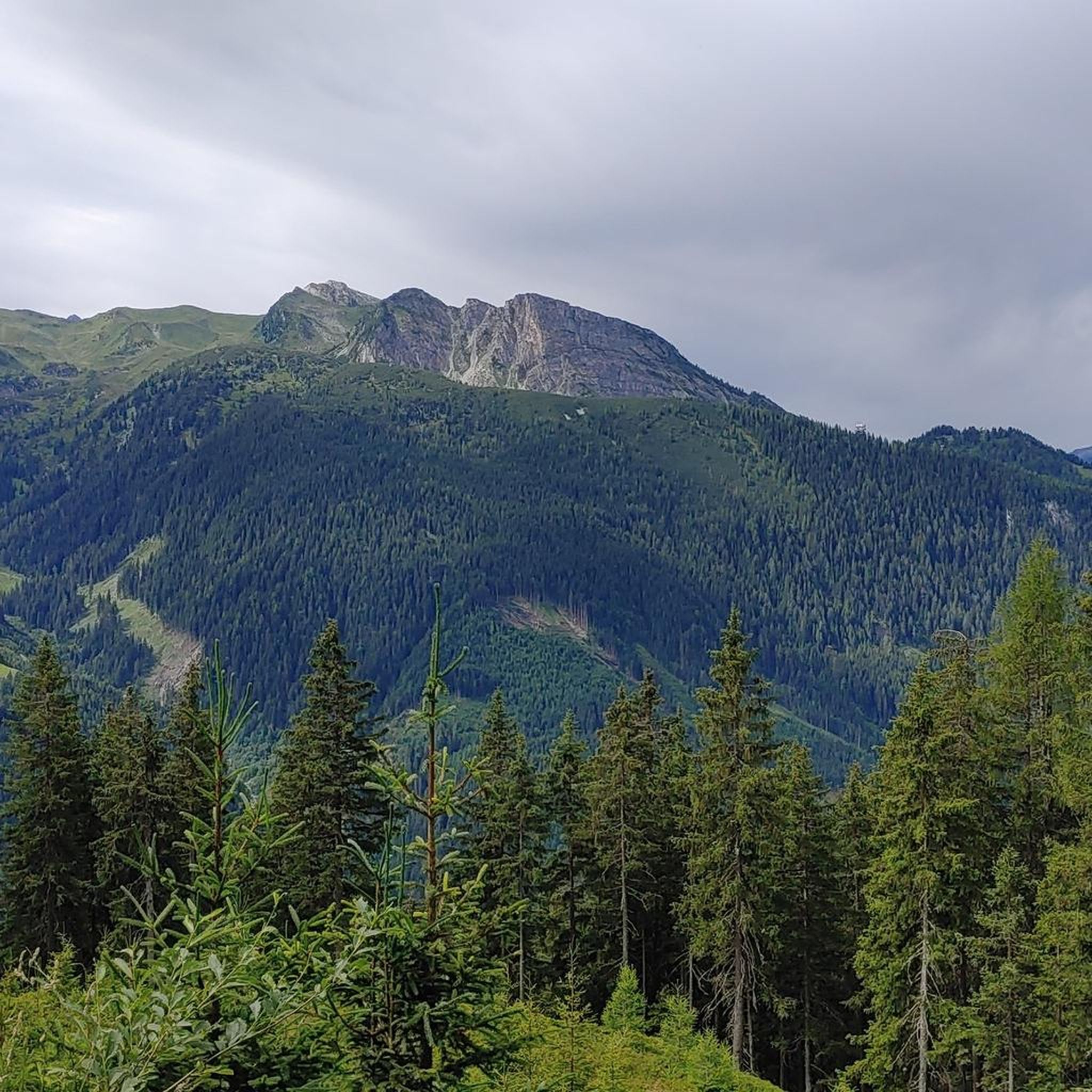
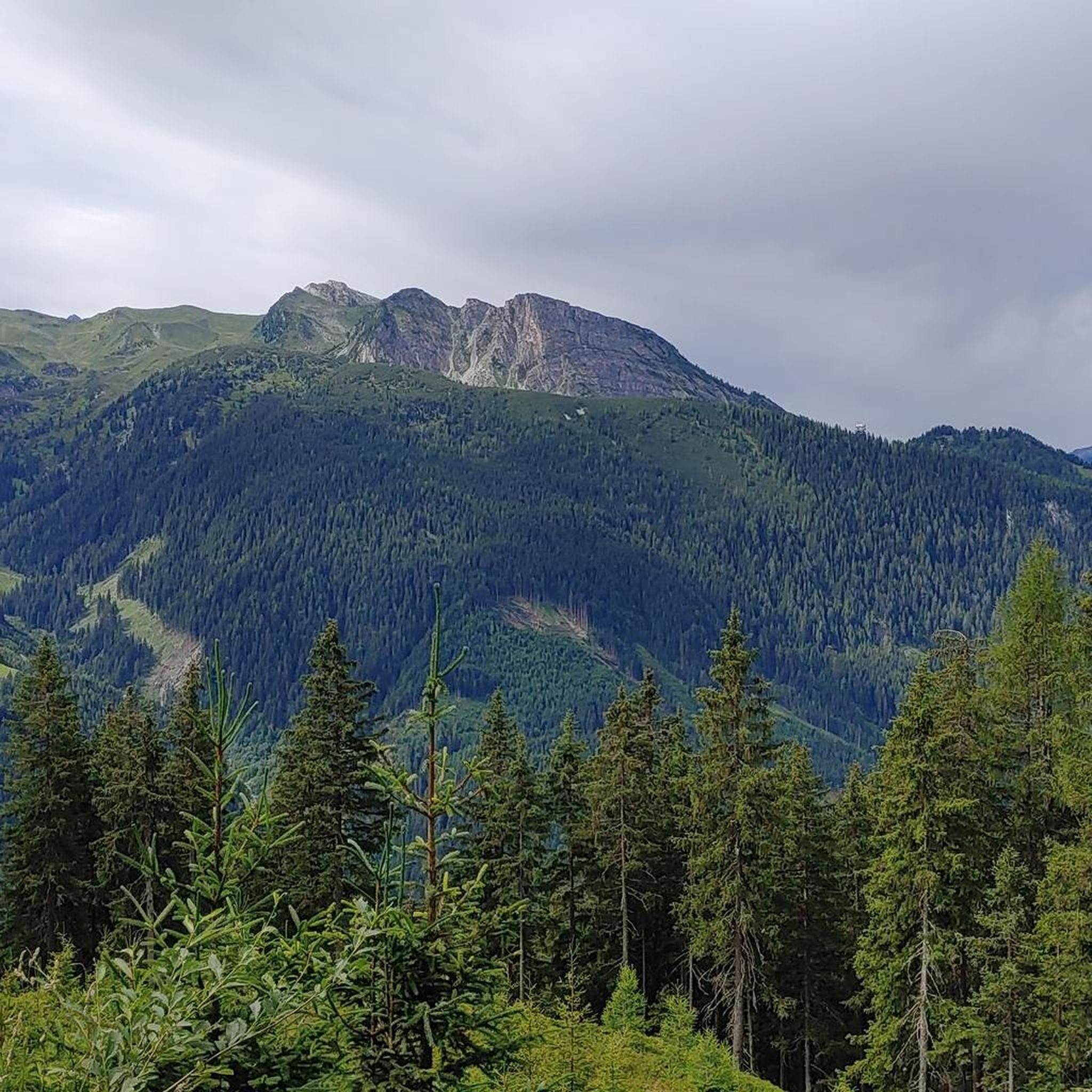
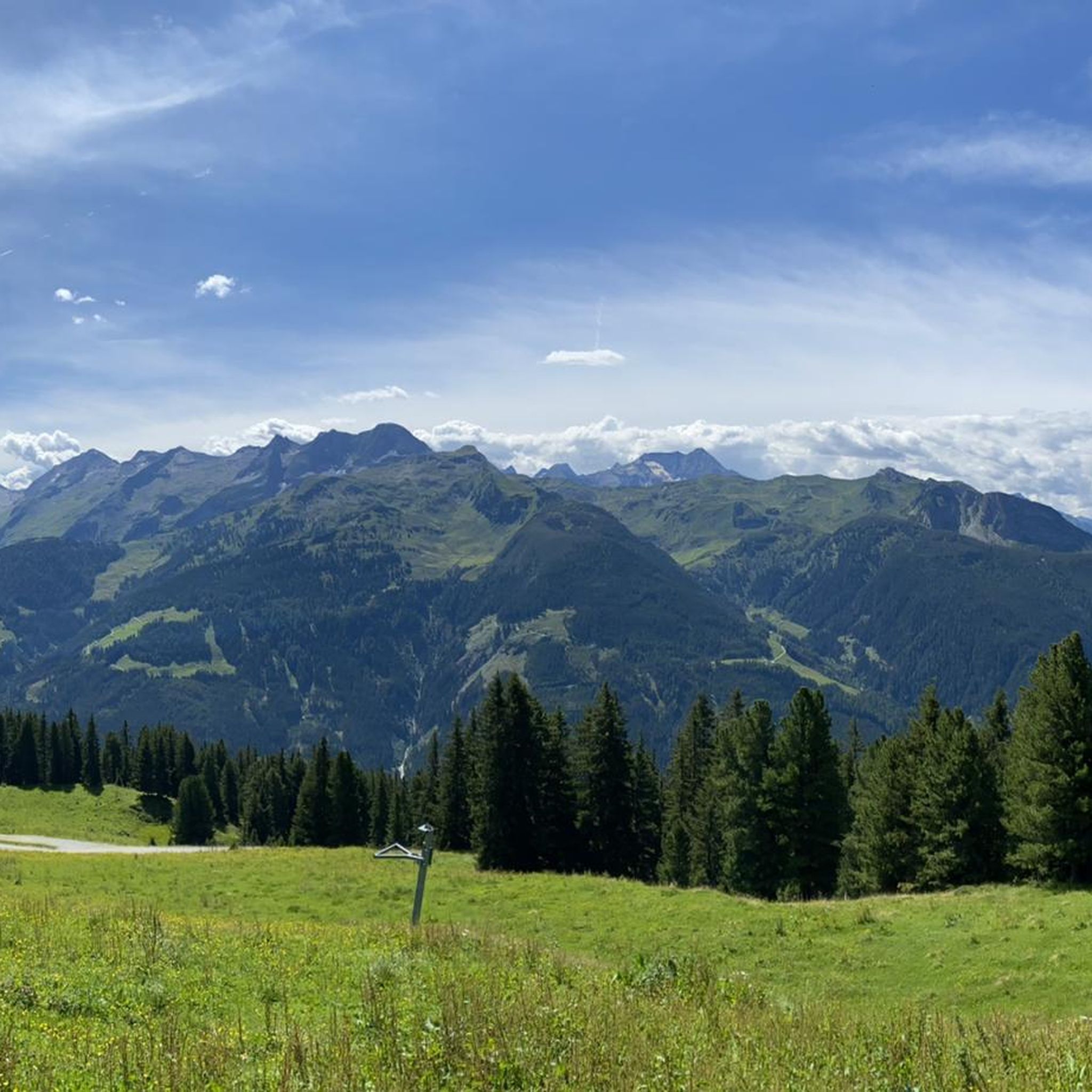
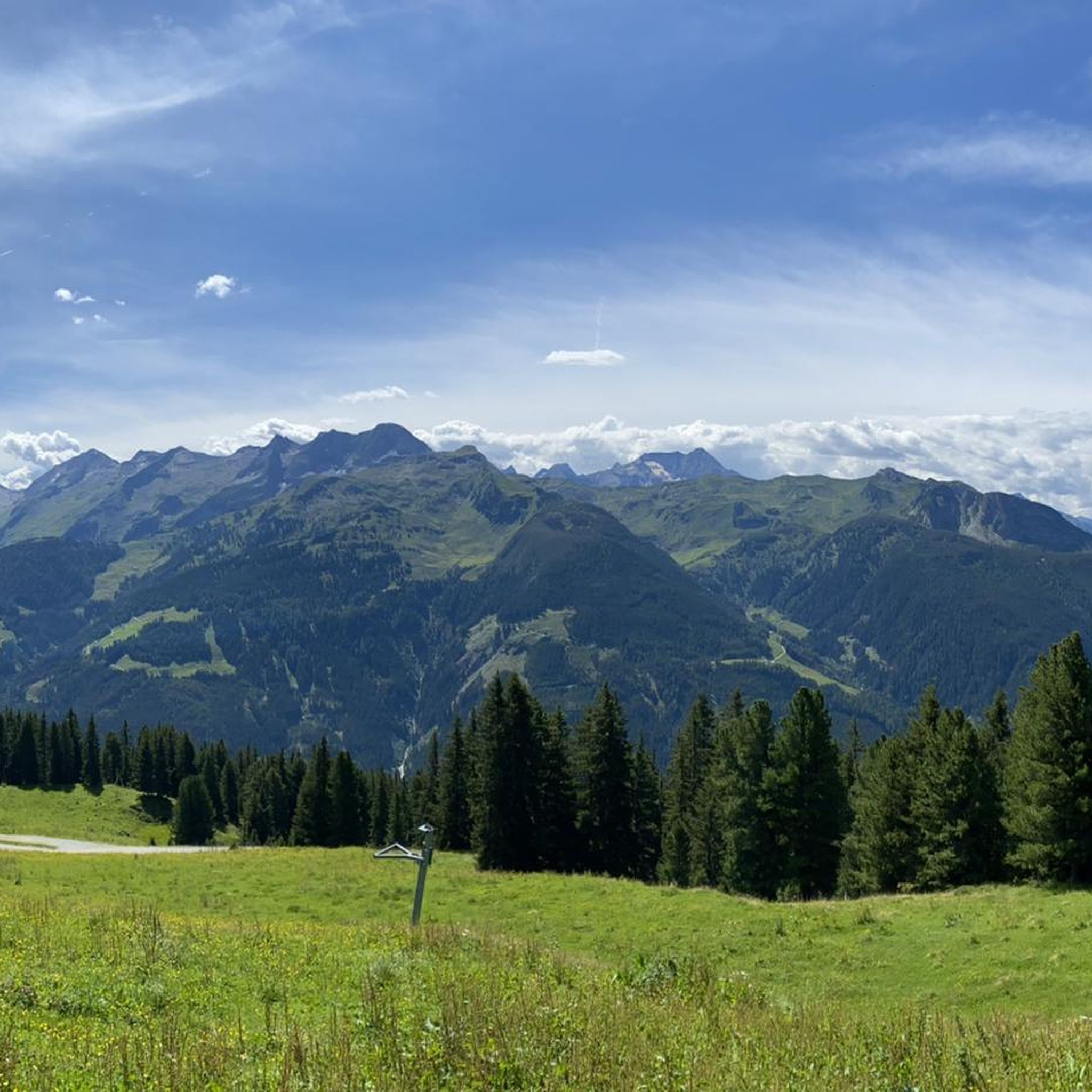
Tips from the Community


The Zillertal Railway bridge also crosses the river, and the cycle path is a small gem of old railway engineering. Caution cyclists: Heading into the valley, the cycle path makes a 90° turn to the left directly at the end of the bridge, then immediately turns sharply and steeply 180° to continue under the bridge and further into the valley. So brake in time!
2
0

I always enjoy being in the Zillertal
0
0


A beautiful church along the sooor
0
0

One of many crossings over the Ziller River. Some are made of wood, others of concrete. Only those who cross this bridge have left the Ziller Cycle Path, as it leads under the bridge.
3
0
Frequently Asked Questions
How many road cycling routes are available in Gerlosberg?
There are over 40 road cycling routes in Gerlosberg, offering a wide range of options for different skill levels. You'll find everything from moderate valley loops to challenging alpine ascents.
What kind of terrain can I expect on road cycling routes around Gerlosberg?
Road cycling routes in Gerlosberg are characterized by the mountainous terrain of the Ziller Valley. You can expect significant elevation changes, alpine scenery, and roads that wind through valleys, alongside rivers, and up challenging ascents. Landscapes vary from forested sections to open mountain views.
Are there challenging road bike climbs in Gerlosberg?
Yes, Gerlosberg offers several challenging road bike climbs. Routes like Mayrhofen – Hintertux Glacier Base Station loop from Zell am Ziller feature significant ascents towards glacial landscapes, while Aschau in the Zillertal – View of the Wild Peaks loop from Zell am Ziller includes over 1500 meters of elevation gain, providing a demanding experience for advanced cyclists.
Are there easy or beginner-friendly road cycling routes in Gerlosberg?
While Gerlosberg is known for its mountainous terrain, there are some routes suitable for beginners or those looking for an easier ride. Approximately 9 of the routes are rated as easy, often following valley floors or less steep inclines. These routes provide a good introduction to road cycling in the region without overly strenuous climbs.
What is the best time of year for road cycling in Gerlosberg?
The best time for road cycling in Gerlosberg is typically from late spring (May) through early autumn (October). During these months, the weather is generally milder, and mountain passes are usually clear of snow. Summer offers the warmest temperatures, but also the possibility of afternoon thunderstorms. Always check the local weather forecast before heading out.
Are there any loop trails for road cycling in Gerlosberg?
Yes, many road cycling routes in Gerlosberg are designed as loops, allowing you to start and finish at the same point. For example, the Zell am Ziller/Zellberg Bridge – Mayrhofen loop from Erlach im Zillertal is a popular moderate loop through the Ziller Valley.
What do other road cyclists enjoy the most about road cycling in Gerlosberg?
The road cycling routes in Gerlosberg are highly rated by the komoot community, with an average score of 4.5 stars from over 160 reviews. Cyclists often praise the stunning alpine scenery, the variety of terrain from valley rides to challenging climbs, and the well-maintained roads that make for an enjoyable experience.
Are there any interesting landmarks or scenic points along the road cycling routes?
Yes, the region around Gerlosberg is rich in natural beauty and offers several points of interest. You might encounter highlights such as the Gerlos Alpine Road or the Zillertal High Alpine Road, which offer breathtaking views. Some routes also pass by mountain huts like the Melchboden Snack Hut, perfect for a break.
Can I find long-distance road cycling routes in Gerlosberg?
Gerlosberg serves as an excellent starting point for longer road cycling adventures. While many routes are day trips, some, like the Mayrhofen – Hintertux Glacier Base Station loop from Zell am Ziller, cover over 56 kilometers with significant elevation, making them suitable for experienced long-distance riders. The interconnected road network also allows for combining routes for even longer journeys.
Are there road cycling routes with cafe stops in Gerlosberg?
Many road cycling routes in Gerlosberg pass through or near villages and towns in the Ziller Valley, where you can find cafes, restaurants, and snack huts for a break. Mountain passes and popular viewpoints often feature huts, such as the Melchboden Snack Hut, providing opportunities to refuel and enjoy local refreshments.
Is parking available for road cyclists in Gerlosberg?
Parking is generally available in the main towns and villages within the Ziller Valley, such as Zell am Ziller or Mayrhofen, which serve as common starting points for road cycling routes around Gerlosberg. Look for designated public parking areas, often near train stations or tourist information centers. Some accommodations also offer parking for guests.
How can I access road cycling routes in Gerlosberg using public transport?
The Ziller Valley is well-served by public transport, primarily the Zillertalbahn train and bus services, which connect the various towns and villages. This allows you to reach many starting points for road cycling routes without a car. Check the local transport schedules for specific connections and information on bicycle transport, which may be restricted during peak times or require an additional ticket.
Most popular routes around Gerlosberg
Most popular attractions around Gerlosberg

Get inspired with the komoot mobile app


Explore more
Browse the best Road cycling routes in other regions.
