The best walks and hikes around gmina Kocmyrzów-Luborzyca
4.6
(218)
7,826
hikers
316
hikes
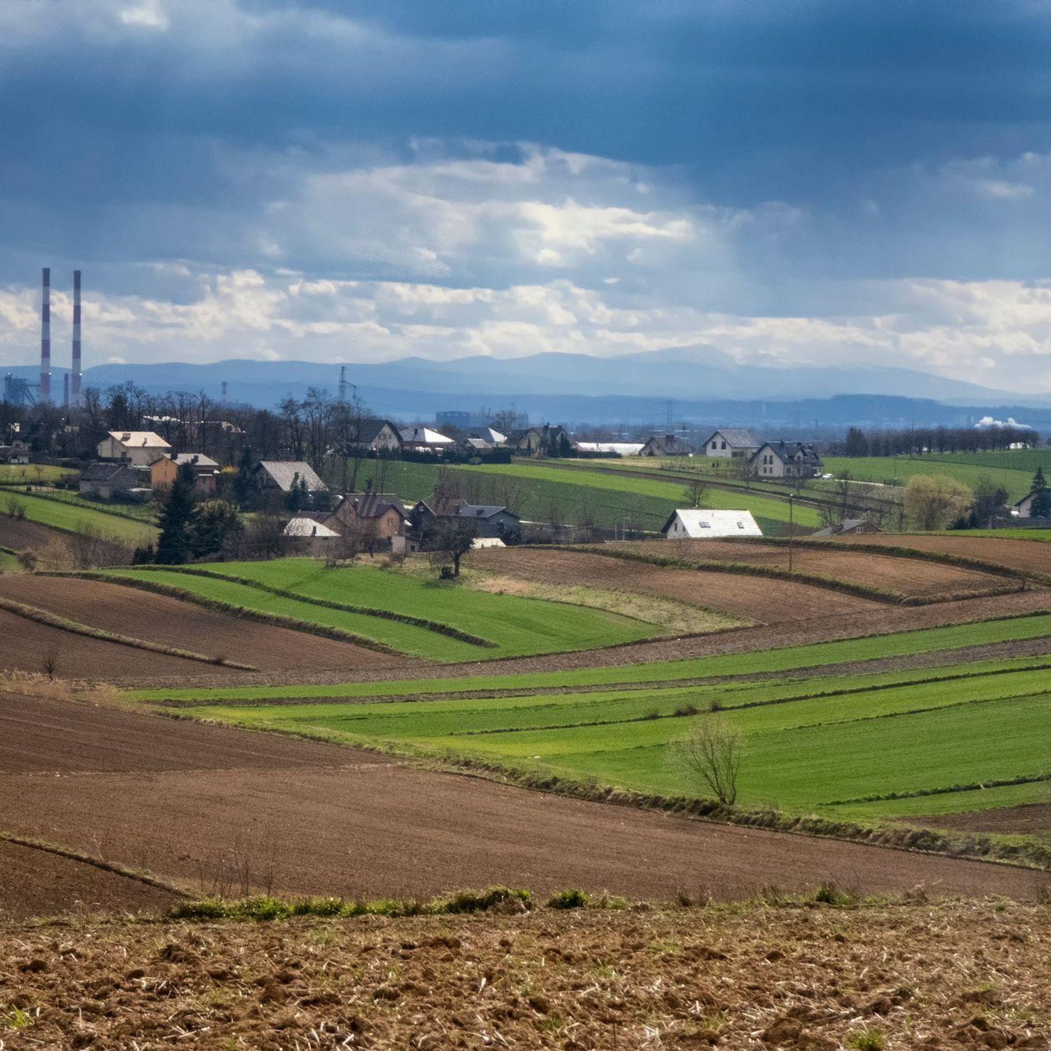
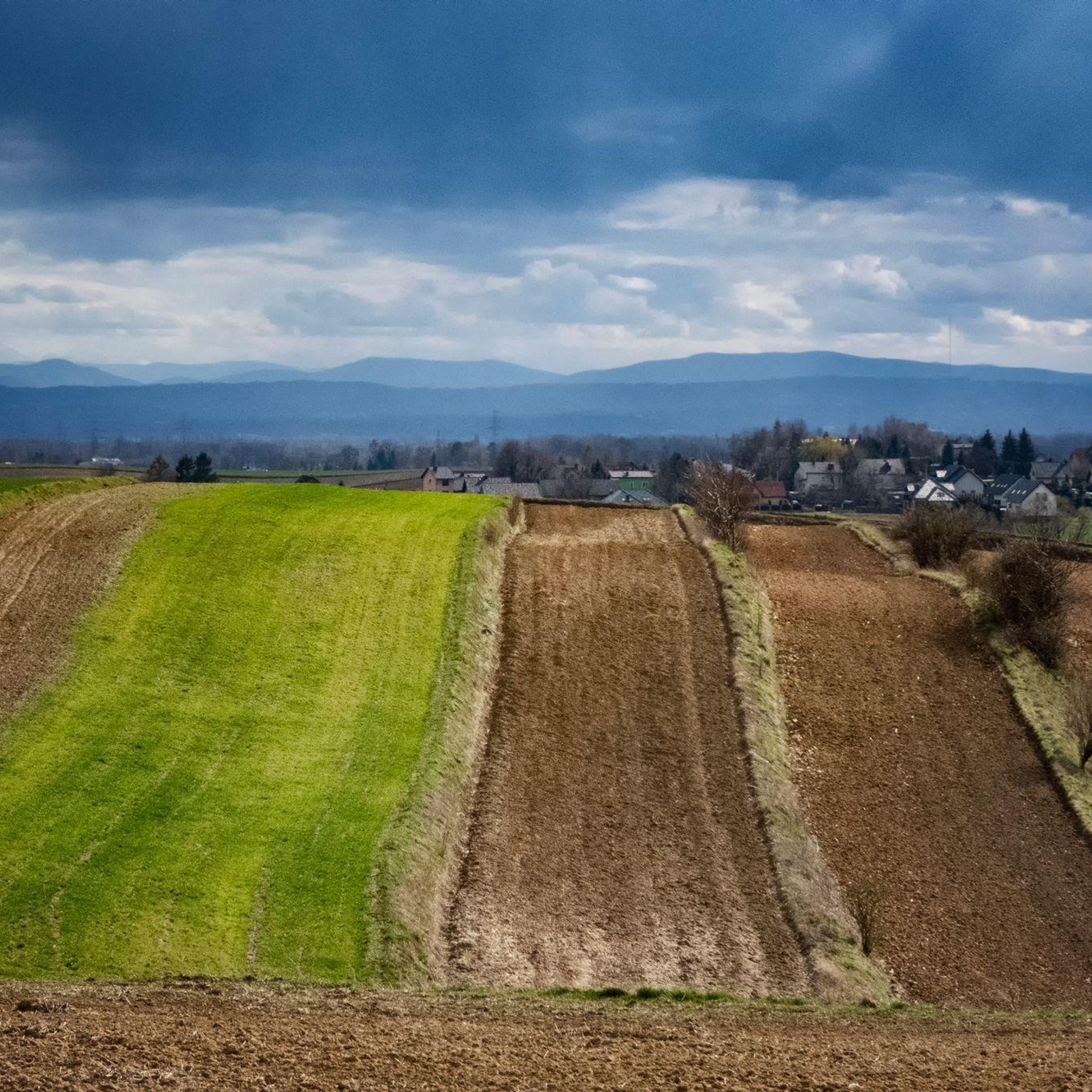
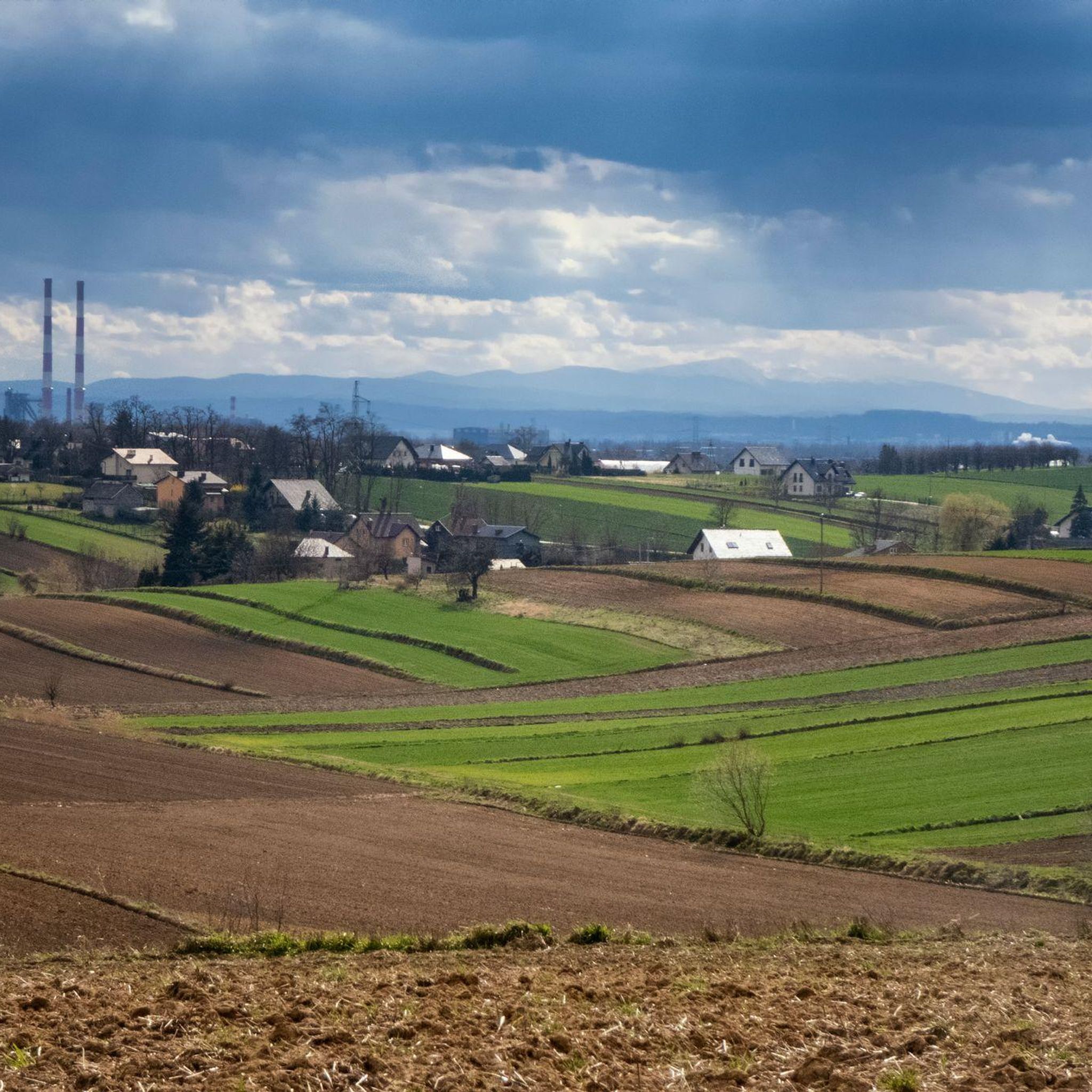
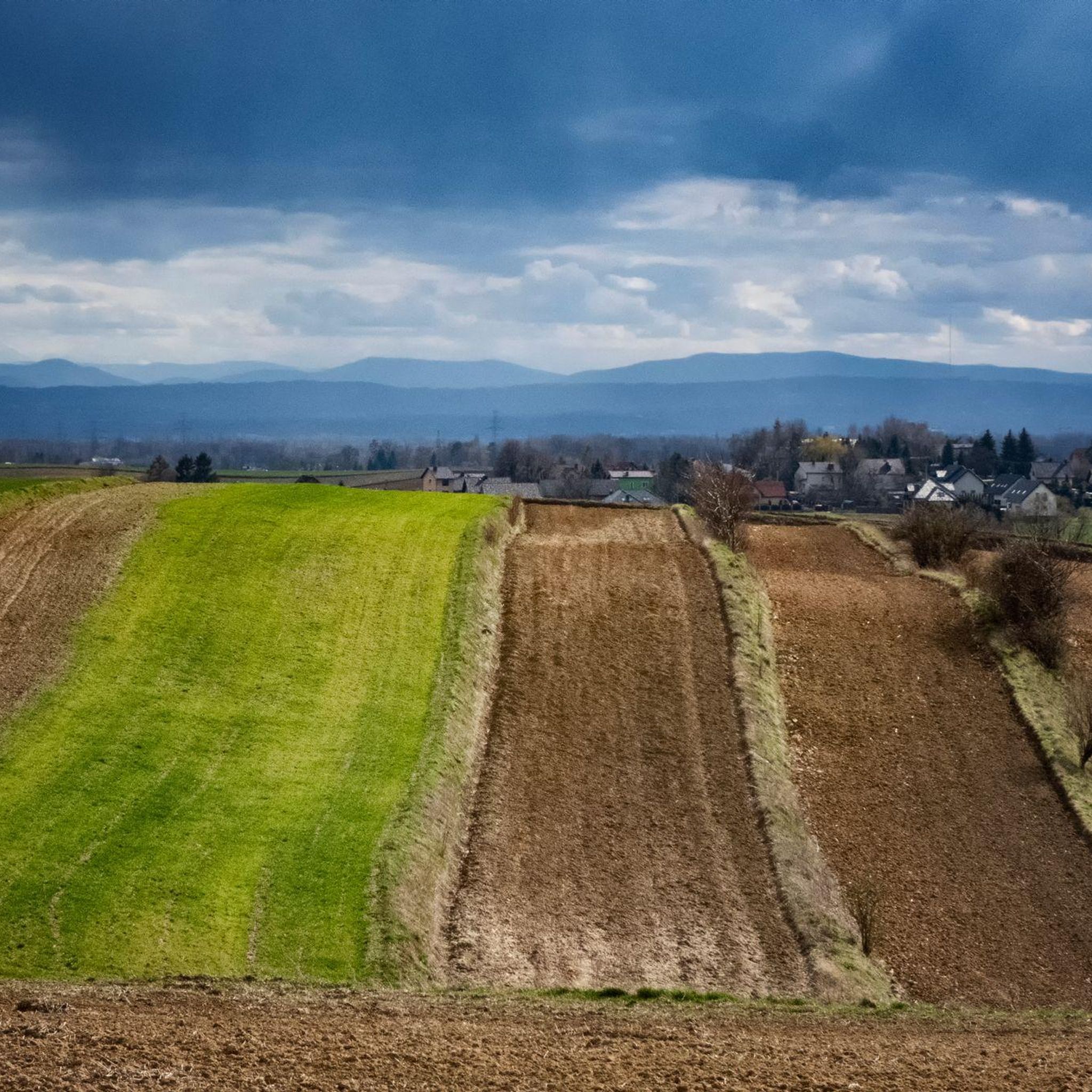
Hiking trails around gmina Kocmyrzów-Luborzyca traverse a landscape characterized by gently rolling hills and agricultural scenery, situated northeast of Kraków. This region lies at the junction of the Miechowska Upland and the Proszowice Plateau, offering varied terrain for outdoor exploration. The highest point reaches over 345 meters above sea level in Goszcza, while the Baranówka stream, flowing into the Dłubnia River, is the largest watercourse. The area provides a serene countryside atmosphere with abundant greenery.
Best hiking trails around gmina…
Last updated: July 14, 2026
11
hikers
13.5km
03:44
230m
230m
Moderate hike. Good fitness required. Easily-accessible paths. Suitable for all skill levels.
8
hikers
11.4km
03:08
180m
180m
Moderate hike. Good fitness required. Easily-accessible paths. Suitable for all skill levels.

Sign up for free
5
hikers
5.28km
01:23
50m
40m
Easy hike. Great for any fitness level. Easily-accessible paths. Suitable for all skill levels.
4
hikers
Easy hike. Great for any fitness level. Easily-accessible paths. Suitable for all skill levels.
5.0
(1)
3
hikers
5.26km
01:26
70m
70m
Easy hike. Great for any fitness level. Easily-accessible paths. Suitable for all skill levels.
Get access to more routes and recommendations from other explorers.
Sign up for free
Already have an account?
Our route recommendations are based on thousands of hikes, rides, and runs completed by other people on komoot.
Start today with a free account
Your next adventure awaits.
Login or Signup

Tips from the Community

Neglected, abandoned but accessible.
0
0

A beautiful abandoned 19th century manor house in Wadowo near Krakow. https://pl.wikipedia.org/wiki/Dw%C3%B3r_Badenich_w_Wadowie
0
0

Frequently Asked Questions
What kind of landscape can I expect when hiking in gmina Kocmyrzów-Luborzyca?
Gmina Kocmyrzów-Luborzyca features gently rolling hills and picturesque agricultural scenery. Situated at the junction of the Miechowska Upland and the Proszowice Plateau, the terrain offers varied views, from cultivated fields to an abundance of greenery, providing a serene countryside atmosphere.
How many hiking trails are available in gmina Kocmyrzów-Luborzyca?
There are over 270 hiking routes recorded in gmina Kocmyrzów-Luborzyca. The majority, around 200, are considered easy, with 76 moderate and a few difficult options.
Are there family-friendly hiking options in gmina Kocmyrzów-Luborzyca?
Yes, many trails are suitable for families due to the region's generally gentle terrain. Most routes are classified as easy, offering accessible walks through the countryside. For example, the View beyond the Zesławice Reservoir – Fort 48a Mistrzejowice loop is an easy 3.2-mile trail that takes about 1 hour 20 minutes to complete.
What historical sites can I discover while hiking in the area?
The gmina is rich in history. You can explore portions of the Kościuszko Insurrection Trail and the Wooden Architecture Trail. Along these, you'll find historical religious sites like the 17th-century chapel of St. Otylia and St. Łucja in Wilków, and the 16th-century wooden church of St. Nicholas in Czulice. Some routes also pass by historical forts, such as the Nowa Huta Wayside Shrine – Fort 48 Batowice loop.
Are there any circular hiking routes in gmina Kocmyrzów-Luborzyca?
Yes, many of the hiking trails in gmina Kocmyrzów-Luborzyca are circular routes, allowing you to start and end at the same point. Examples include the Swedish Park – Kino Świt loop and the Russian Tank Monument – Bells of the Lord's Ark Church loop.
What do other hikers enjoy most about the trails in gmina Kocmyrzów-Luborzyca?
The trails in gmina Kocmyrzów-Luborzyca are highly rated by the komoot community, with an average score of 4.7 stars from over 220 reviews. Hikers often praise the peaceful countryside, the blend of natural beauty with historical landmarks, and the well-maintained paths suitable for various skill levels.
Are there places to eat or drink near the hiking trails?
While specific cafes and pubs are not abundant directly on every trail, some routes pass by establishments. For instance, the Bells of the Lord's Ark Church – Hope Cafe & Restaurant loop includes a stop at Hope Cafe & Restaurant, offering a convenient break during your hike.
What are some nearby attractions or points of interest I can visit?
Beyond the trails, you can explore several attractions. There are various lakes and lagoons, such as Nowa Huta Lagoon and Pond in Kocmyrzów. The region is also close to historical castles like Wawel Castle and the Royal Castle in Niepołomice, offering further cultural exploration.
What is the best time of year to go hiking in gmina Kocmyrzów-Luborzyca?
The abundance of greenery and agricultural landscapes makes spring, summer, and early autumn ideal for hiking in gmina Kocmyrzów-Luborzyca. During these seasons, you can fully appreciate the vibrant natural scenery and comfortable temperatures.
Can I hike with my dog in gmina Kocmyrzów-Luborzyca?
Generally, the rural and open nature of gmina Kocmyrzów-Luborzyca makes it suitable for hiking with dogs. However, always keep your dog under control, especially when passing through agricultural fields or near livestock, and be mindful of local regulations regarding leashes and waste disposal.
Are there any longer, more challenging hikes available?
While the majority of trails are easy to moderate, there are a few routes classified as difficult for those seeking a greater challenge. The region's varied terrain, with its highest point reaching over 345 meters in Goszcza, allows for some more strenuous climbs, though these are less common than the gentler walks.
Where can I find more information about gmina Kocmyrzów-Luborzyca?
For general information about the gmina, including its characteristics and local administration, you can visit the official municipal website: kocmyrzow-luborzyca.ug.gov.pl.
Most popular routes around gmina Kocmyrzów-Luborzyca
Most popular attractions around gmina Kocmyrzów-Luborzyca

Get inspired with the komoot mobile app


Explore more
Browse the best Hikes in other regions.
