The best running trails around gmina Lubień
4.3
(10)
1,427
runners
15
runs
Jogging routes around gmina Lubień traverse a varied landscape within the Polish Carpathians, featuring gentle mountains and hills. The upper slopes are covered with dense forests, while lower areas present expansive meadows and cultivated fields. Numerous picturesque rivers and streams contribute to the natural beauty and diverse terrain, offering a range of surfaces and gradients for running.
Best jogging routes around gmina Lubień
- The most popular jogging route is Pośrednie Pass – Poem for a Horse loop from Rabka-Zdrój,…
Last updated: July 1, 2026
5.0
(1)
145
runners
43.0km
06:16
2,030m
2,030m
Hard run. Very good fitness required. Mostly accessible paths. Some sure footedness required.
20
runners
16.8km
02:32
830m
830m
Hard run. Very good fitness required. Mostly accessible paths. Some sure footedness required.

Sign up for free
15
runners
35.3km
05:14
1,810m
1,810m
Hard run. Very good fitness required. Mostly accessible paths. Some sure footedness required.
7
runners
20.1km
02:37
580m
580m
Hard run. Very good fitness required. Mostly accessible paths. Some sure footedness required.
10
runners
4.84km
00:46
290m
290m
Moderate run. Good fitness required. Mostly paved surfaces. Suitable for all skill levels.
Get access to more routes and recommendations from other explorers.
Sign up for free
Already have an account?
Our route recommendations are based on thousands of hikes, rides, and runs completed by other people on komoot.
Start today with a free account
Your next adventure awaits.
Login or Signup
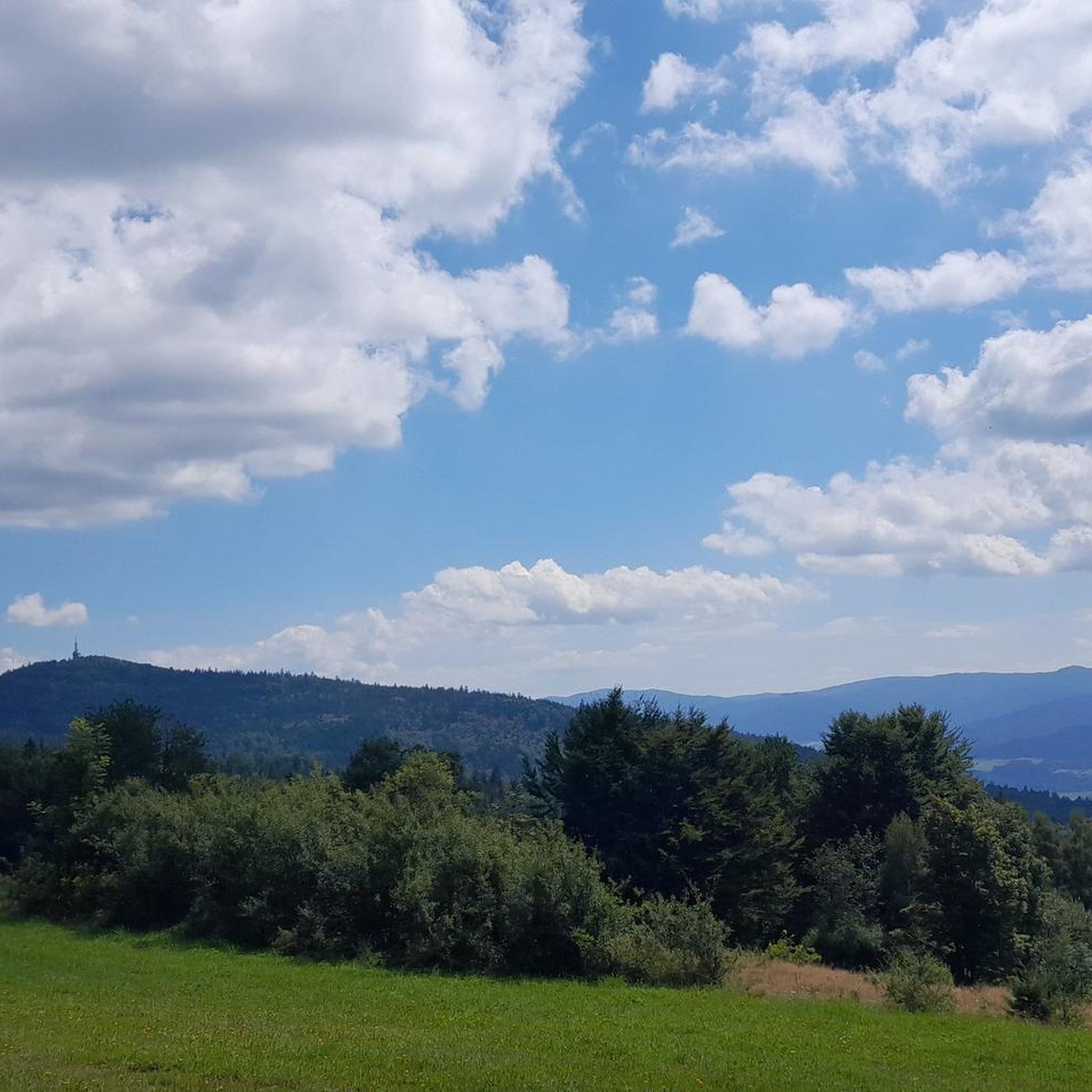
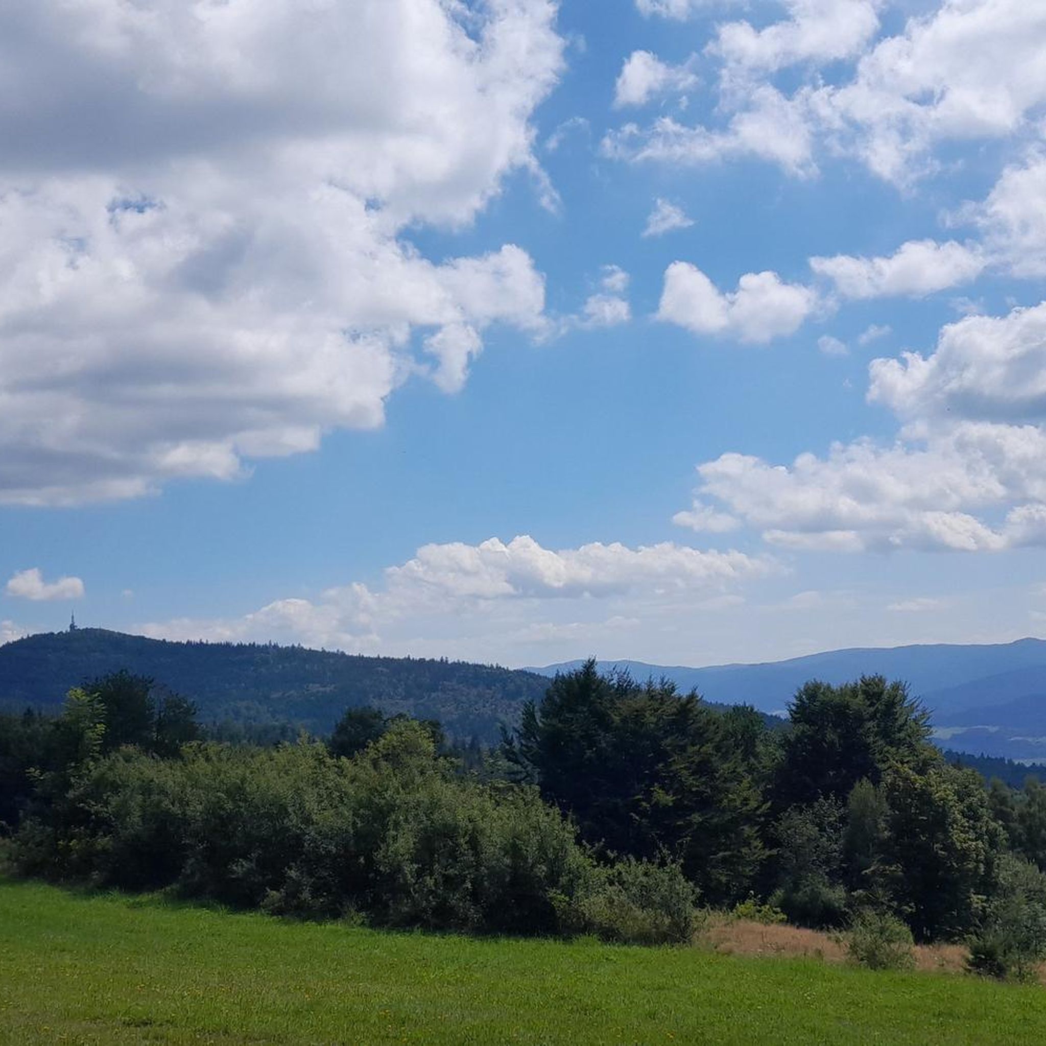
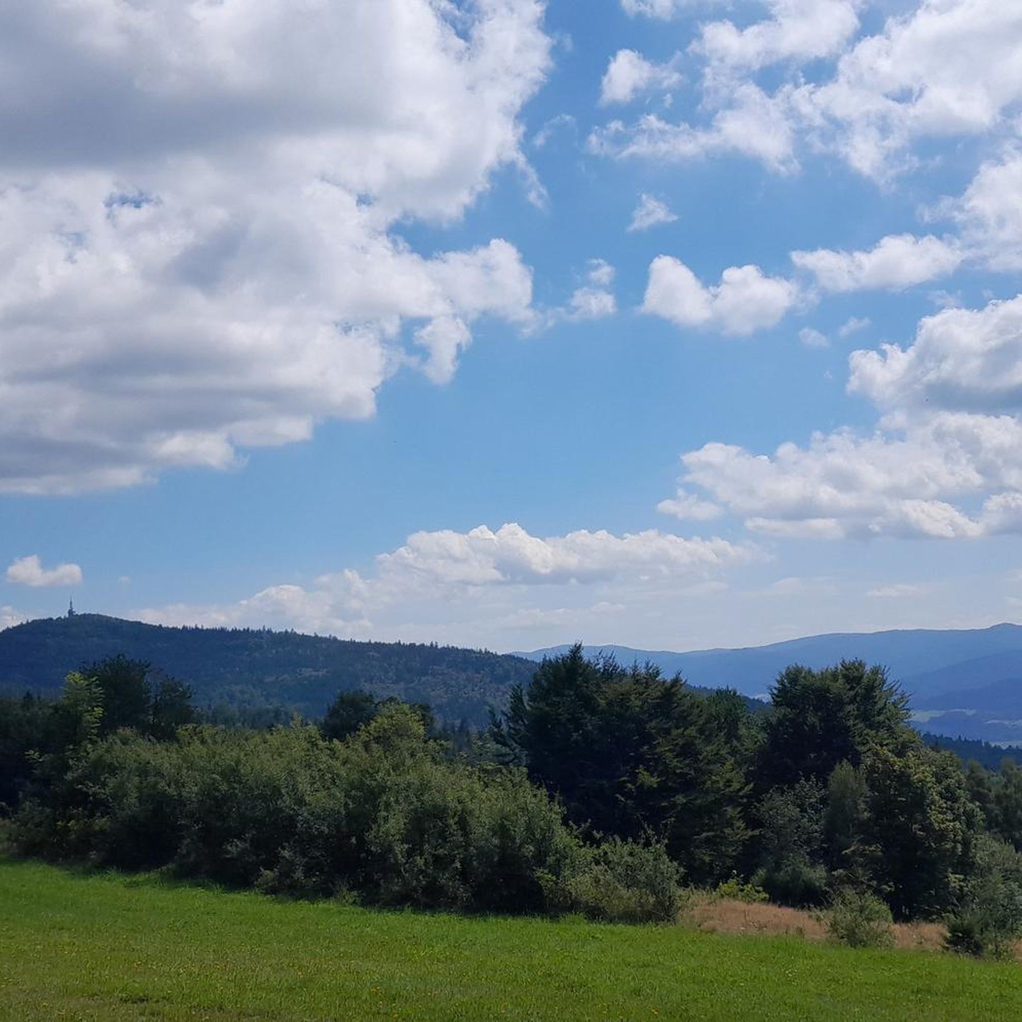
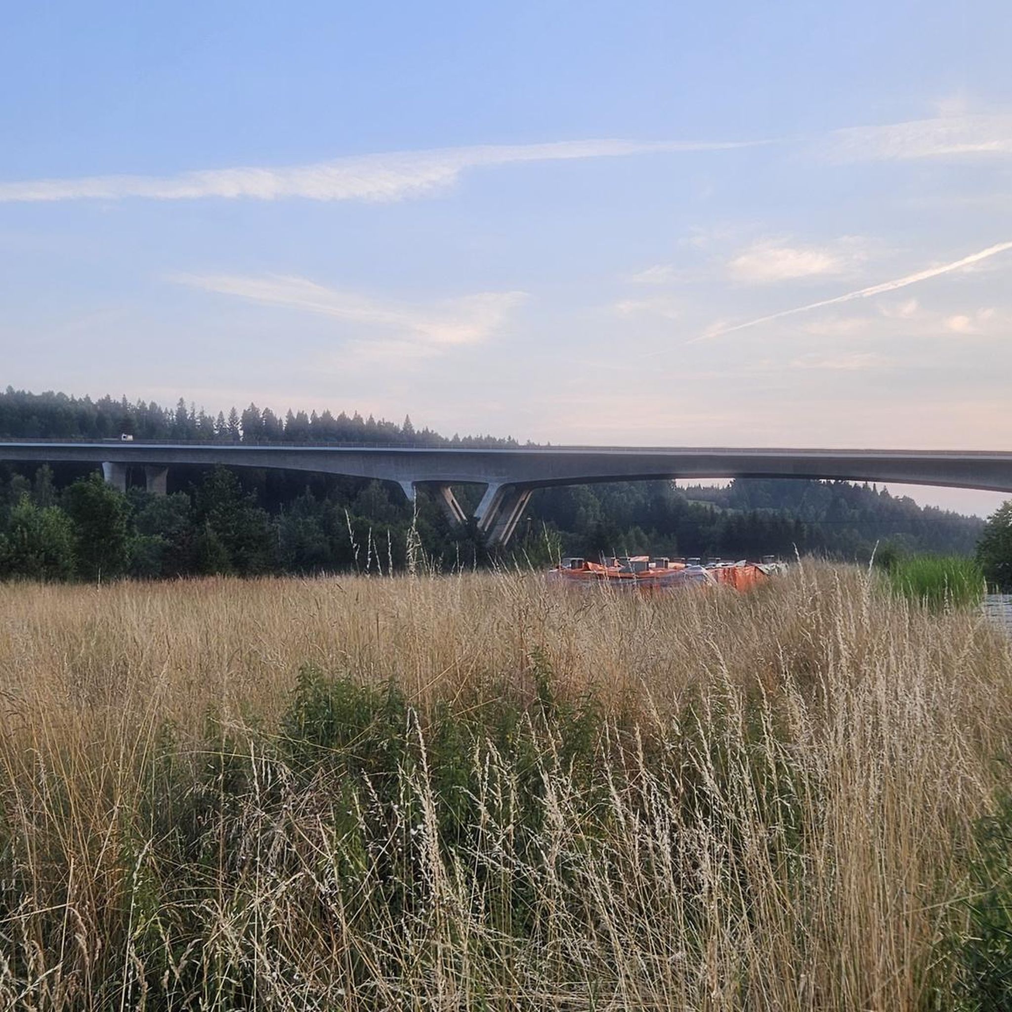


Tips from the Community

Near the summit there isn't much to see, but it's worth going a bit further along the red trail, and there awaits a fabulous view :)
0
0

Peak belonging to the Odkryj Beskid Wyspowy 102 Wyspy badge
0
0

This Luboń is a difficult topic
0
0

This peak is included in the Crown of Polish Mountains - the highest peak of the Beskid Makowski. There is an astronomical observatory on the peak - open at certain hours, but not always. Lots of places to sit and shelters. The peak is forested, so you won't see much from it - but you have another peak of the Crown counted.
0
0


Probably the smallest shelter in the Polish mountains. Atmospheric. You can eat or stay the night. No water, so the toilet is an outhouse outside the shelter.
0
0
The peak belongs to the Crown of Polish Mountains. On the MSB route (red trail). At the top there is an astronomical observatory, a lot of benches and a shed.
0
0
A difficult approach to the summit from the Glisne pass (red MSB trail). Poles on the approach will definitely help. At the top there is a shelter where you can spend the night and eat. All information here --> https://lubon.pttk.pl
0
0
Frequently Asked Questions
How many running routes are available in gmina Lubień?
There are over 90 running routes documented on komoot for gmina Lubień, offering a wide range of options for different fitness levels and preferences.
Are there easy running routes suitable for beginners in gmina Lubień?
Yes, gmina Lubień offers several easy running paths. For a more accessible experience with less elevation, consider the Spa Park loop from Rabka-Zdrój, which is a moderate 4.9-mile (7.9 km) route.
What kind of terrain can I expect on the jogging routes in gmina Lubień?
The running routes in gmina Lubień feature diverse terrain, including forest paths, mountain trails, and routes through valleys and along picturesque rivers. You'll encounter a mix of surfaces and gradients, from gentle slopes to more challenging mountain ascents.
Are there any long-distance running trails in gmina Lubień?
For those seeking a longer challenge, gmina Lubień has several extensive routes. The Szczebel – Lubogoszcz loop from Lubień is a demanding 35.4 km (22 miles) trail with significant elevation gain, perfect for experienced long-distance runners.
What are some notable landmarks or points of interest I can see along the running routes?
While running in gmina Lubień, you can encounter several interesting spots. Highlights include mountain huts like the Kudłacze PTTK Mountain Hut and the PTTK Old Wierchy mountain hostel. You might also pass by the Sucha Pass Memorial and Meadow or even catch glimpses of peaks like Lubomir.
Are there running routes that offer scenic views in gmina Lubień?
Absolutely. Certain areas within gmina Lubień provide stunning vistas. For instance, from locations like Skomielna Biała, you can enjoy views of the Tatra Mountains, and other trails offer scenic outlooks towards Szczebel, providing motivating rewards during your run.
What do other runners say about the trails in gmina Lubień?
The running routes in gmina Lubień are highly rated by the komoot community, with an average score of 4.1 stars. Runners often praise the varied terrain, the beauty of the Polish Carpathians, and the network of trails suitable for different ability levels.
Are there any circular running routes in gmina Lubień?
Yes, many routes in gmina Lubień are designed as loops. For example, the challenging Szczebel – Mała Góra loop from Lubień is a popular 16.8 km (10.4 miles) trail that takes you through mountain terrain and brings you back to your starting point.
When is the best time of year to go running in gmina Lubień?
Gmina Lubień is suitable for outdoor activities throughout much of the year. The diverse landscapes and varied terrain make it enjoyable in spring, summer, and autumn. The upper reaches of the mountains are covered with dense forests, providing shade in warmer months, while the lower slopes offer open meadows. Winter running is also possible, though conditions may vary with snow and ice.
Are there challenging mountain running options in gmina Lubień?
For experienced runners looking for a significant challenge, gmina Lubień offers numerous difficult mountain trails. The Mały Szczebel – Szczebel loop from Lubień is a demanding 9.68 km (6 miles) route with substantial elevation gain, perfect for testing your endurance in mountain terrain.
Are there mountain shelters or huts accessible from the running trails?
Yes, gmina Lubień is home to several mountain shelters that can serve as excellent resting points or base camps. The Kudłacze PTTK Mountain Hut and the PTTK Old Wierchy mountain hostel are notable examples, with multiple trails converging around them.
Most popular routes around gmina Lubień
Most popular attractions around gmina Lubień

Get inspired with the komoot mobile app


Explore more
Browse the best Running Trails & Routes in other regions.
