The best running trails around gmina Ochotnica Dolna
4.7
(58)
2,803
runners
39
runs
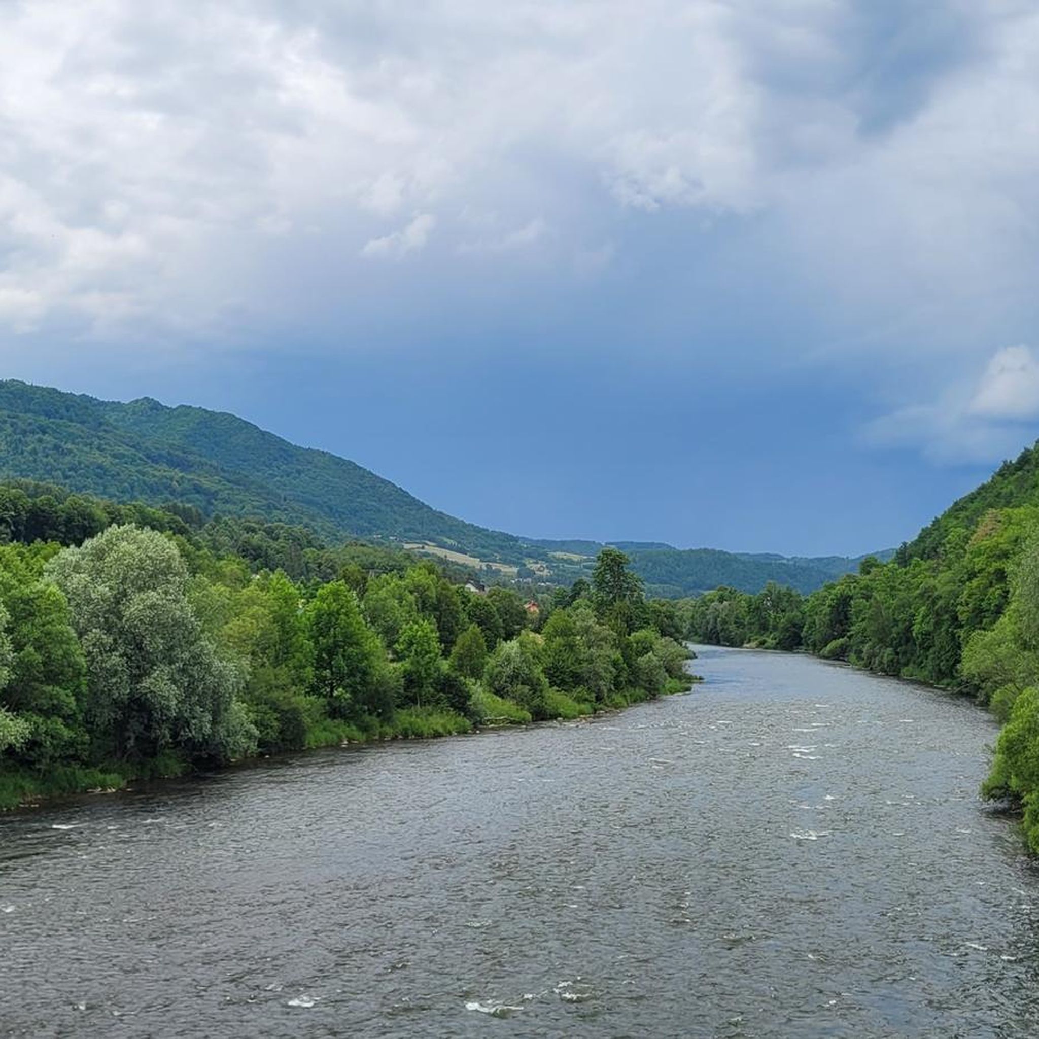
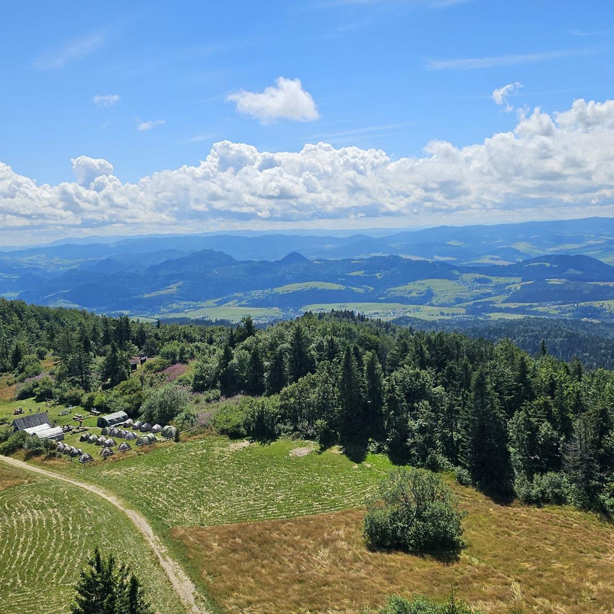
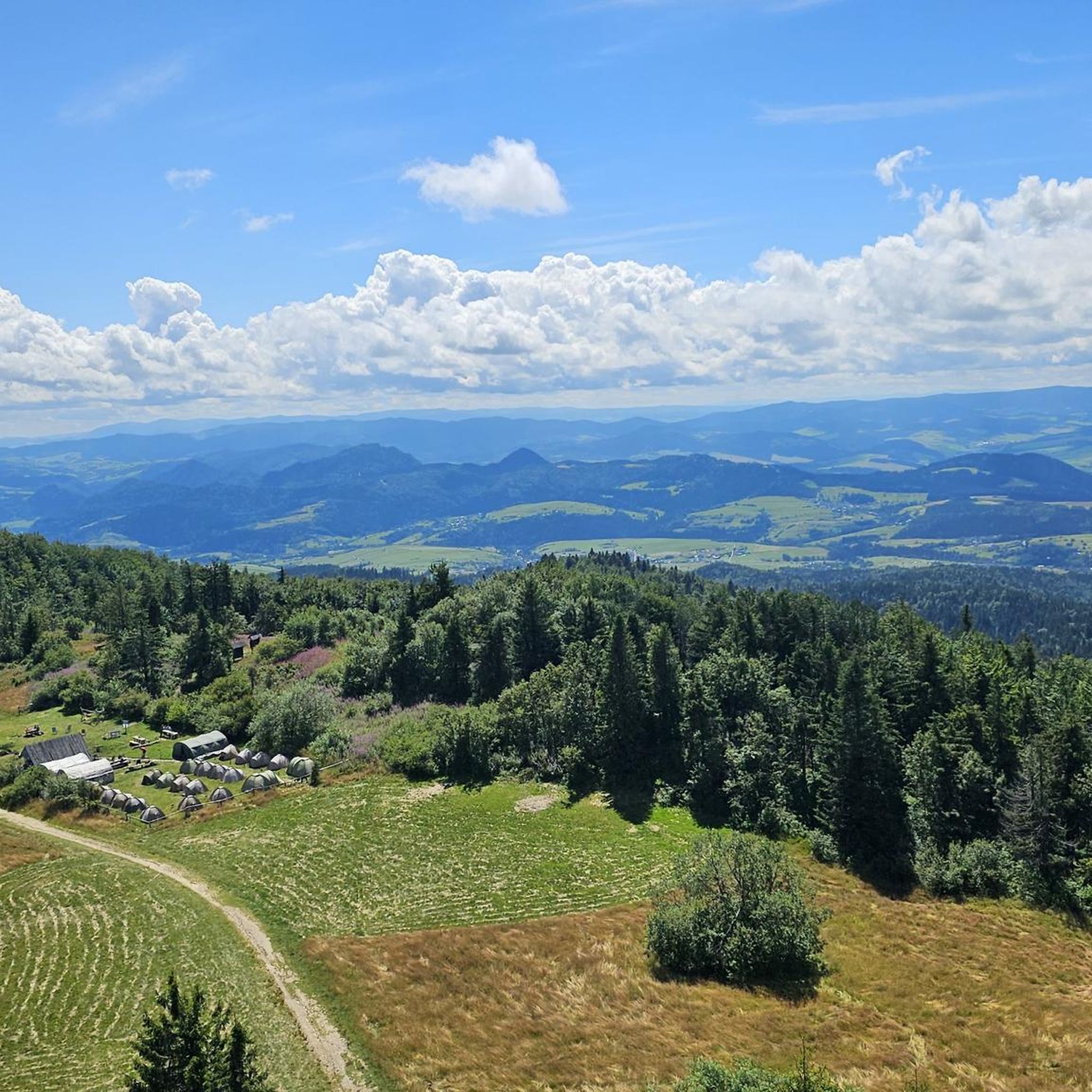
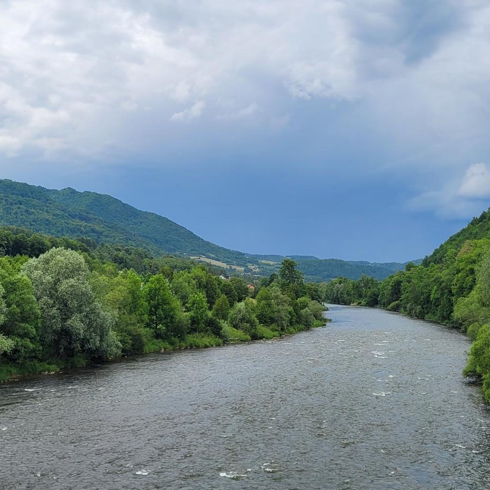
Jogging around gmina Ochotnica Dolna offers diverse terrain within the Gorce Mountains, with proximity to the Pieniny Mountains. The region features mountainous landscapes, river valleys, and the scenic Lake Czorsztyn, providing varied running experiences. Trails lead to prominent peaks like Lubań and Gorc, often equipped with observation towers that offer expansive views. The area's natural features, including the Dunajec River, create a compelling environment for outdoor activities.
Best jogging routes around gmina Ochotnica Dolna
- The most popular jogging route is…
Last updated: October 12, 2026
66
runners
33.3km
04:36
1,470m
1,470m
Hard run. Very good fitness required. Mostly accessible paths. Some sure footedness required.
22
runners
6.74km
01:29
850m
60m
Hard run. Very good fitness required. Mostly paved surfaces. Suitable for all skill levels.

97
runners
26.6km
03:19
940m
940m
Hard run. Very good fitness required. Mostly paved surfaces. Suitable for all skill levels.
5.0
(1)
85
runners
18.3km
02:31
810m
810m
Hard run. Very good fitness required. Mostly paved surfaces. Suitable for all skill levels.
56
runners
51.0km
07:06
2,280m
2,280m
Hard run. Very good fitness required. Mostly accessible paths. Some sure footedness required.
Get access to more routes and recommendations from other explorers.
Already have an account?
Our route recommendations are based on thousands of hikes, rides, and runs completed by other people on komoot.
Start today with a free account
Your next adventure awaits.
Popular around gmina Ochotnica Dolna



Other adventures around gmina Ochotnica Dolna

Tips from the Community

More information and photos: https://bazaluban.pttk.pl/o-bazie/ https://mapa-turystyczna.pl/node/baza-namiotowa-luban#49.48781/20.34084/14 https://pl.wikipedia.org/wiki/Studencka_Baza_Namiotowa_Luba%C5%84 https://duetnaszlaku.pl/baza-namiotowa-na-lubaniu/ https://chatki.com.pl/luban.html https://malopolska.szlaki.pttk.pl/2176-pttk-malopolska-baza-namiotowa-na-lubaniu
2
0
More information and photos: https://www.ochotnica.pl/wieze-widokowe-kamery-online/ https://pl.wikipedia.org/wiki/Wie%C5%BCa_widokowa_na_Lubaniu https://goryaktywnie.pl/luban-szczyt https://zwiedzajwpolsce.pl/object/wieza-widokowa-na-lubaniu/ https://visitmalopolska.pl/obiekt/-/poi/wieza-widokowa-luban https://plannawypad.pl/luban-gorce/ https://osadanabrzyzku.pl/wieza-widokowa-luban-twoj-przewodnik-po-gorcach-i-widokach
2
0
More information and photos: https://pl.wikipedia.org/wiki/%C5%9Aredni_Gro%C5%84_(Luba%C5%84) https://mapa-turystyczna.pl/node/sredni-gron#49.48703/20.34719/14 https://gorydlaciebie.pl/wyprawy/luban/
2
0
More information and photos: https://pl.wikipedia.org/wiki/Kotelnica_(946_m) https://poznajgory.pl/attractions/kotelnica/ https://podroze.onet.pl/polska/kotelnica-w-gorcach-gora-na-glownym-szlaku-beskidzkim/lgf4s52 https://mapa-turystyczna.pl/node/pod-kotelnica-2#49.49160/20.23218/14
2
0
More information and photos: https://turystyka.ochotnica.pl/wieze/40 https://pl.wikipedia.org/wiki/Magurki https://pl.wikipedia.org/wiki/Wie%C5%BCa_widokowa_na_Magurkach https://mapa-turystyczna.pl/node/magurki#49.53094/20.18154/14 https://gorydlaciebie.pl/wyprawy/wieza-widokowa-na-magurkach-gorce/ https://www.polskieszlaki.pl/wieza-widokowa-na-magurkach.htm https://plannawypad.pl/magurki-wieza-widokowa-szlak-gorce/ https://hasajacezajace.com/magurki-wieza-widokowa-gorce/
2
1
More information and photos: https://turystyka.ochotnica.pl/wieze/30 https://pl.wikipedia.org/wiki/Gorc https://mapa-turystyczna.pl/gorc#49.56502/20.25287/14 https://gorydlaciebie.pl/wyprawy/gorc-gora-na-kazda-pore-roku/ https://outdoorsunrise.pl/gorc-co-trzeba-o-nim-wiedziec/ https://tuitam.org.pl/gorc-opis-szlaku/ https://wsandalachpara.pl/gorc-najlepszy-szlak-widoki-i-plan-wycieczki-w-gorce https://hasajacezajace.com/wedrowki-na-i-przez-gorc/ https://goryaktywnie.pl/gorce
2
0
Wierch Babieniec (1059 m above sea level) is an inconspicuous peak, towering over an extensive mountain plateau, referred to by local residents as “Wierchbabieńce”. Wierch Babieniec is mistakenly called “Jaworzyna Gorcowska” in many publications, which is actually the name of a glade lying on its eastern slopes, or “Piorunowiec”, which is actually the name of a neighboring mountain ridge. The entire Wierchbabieńców area bordered the vast Hal Gorcowskie and has been used for grazing for a very long time. It contained some of the oldest grazing lands in the Gorce, founded by Vlach shepherds who wandered or settled in the area of present-day Ochotnica in the 15th century. In the vicinity of Wierch Babieniec, within the plateau, several archaic stone shepherd huts have been preserved, a direct continuation of the Vlach tradition. The entire Wierchbabieńców area is a picturesque mosaic of fields, forests, former mountain pastures and glades, among which original shepherd huts can still be found. The area is located near the green tourist trail leading from Ochotnica Dolna to Mount Gorc. From Wierch Babieniec itself, there is a panorama of the Gorce and surrounding mountain ranges, including especially the Tatra and Beskid Sądecki Mountains.
2
0

Beautiful views of the Tatra Mountains, Górce, and the surrounding area. Unfortunately, the number of young people on the trail going crazy on motorcycles and quads makes the hike less than pleasant. Noise and the stench of exhaust fumes.
1
0
Frequently Asked Questions
How many running routes are available in gmina Ochotnica Dolna?
There are over 30 running routes in gmina Ochotnica Dolna, offering a wide range of experiences for joggers. The komoot community has explored these trails over 2000 times, highlighting the area's popularity for outdoor activities.
What kind of terrain can I expect on the jogging trails in gmina Ochotnica Dolna?
The terrain in gmina Ochotnica Dolna is predominantly mountainous, situated within the Gorce Mountains and near the Pieniny Mountains. You'll find a mix of challenging trails leading to peaks like Lubań and Gorc, as well as scenic paths along river valleys and around Lake Czorsztyn. Expect significant elevation changes on many routes.
Are there any easy or moderate running routes for beginners in gmina Ochotnica Dolna?
While many routes in gmina Ochotnica Dolna are rated as difficult, there are a few moderate options available. For example, the educational trail in the Jaszcze Stream Valley within Gorce Landscape Park offers a moderate 5.8-mile path through forests and meadows. The VeloCzorsztyn trail around Lake Czorsztyn also provides a mostly flat and scenic option, suitable for easier runs.
What are some notable landmarks or viewpoints I can see while running in the area?
Many running routes in gmina Ochotnica Dolna lead to spectacular viewpoints. You can find observation towers on peaks like Lubań and Gorc, offering expansive views of the Tatras, Pieniny, Beskids, and Podhale region. Other notable sights include Lake Czorsztyn, the dramatic Dunajec River Gorge, and various scenic overlooks like the View of Trzy Korony.
Are there any long-distance running challenges or routes in gmina Ochotnica Dolna?
Yes, gmina Ochotnica Dolna is known for its challenging long-distance runs. A prime example is the Gorce Ultra-Trail 33 (loop from Ochotnica Dolna), a demanding 33.3 km route with significant elevation changes. Another extensive option is the Góra Wdżar Summit – Viewing tower on Luban loop from gmina Ochotnica Dolna, which spans nearly 37 km.
Can I find circular running routes in this region?
Absolutely. Many of the routes in gmina Ochotnica Dolna are designed as loops, allowing you to start and finish in the same location. The Gorce Ultra-Trail 33 and the Kudów – Viewing tower on Luban loop from Bukowinka are excellent examples of circular running trails.
What is the best time of year for jogging in gmina Ochotnica Dolna?
The best time for jogging in gmina Ochotnica Dolna is generally from spring through autumn, when the weather is milder and trails are clear. Summer offers lush greenery and longer daylight hours, while autumn provides stunning fall foliage. Winter running is possible but may require specialized gear due to snow and ice, especially on higher elevation trails.
Are there any specific permits required for jogging on trails in the Gorce National Park area?
Yes, if your jogging route takes you through the Gorce National Park, you may need to purchase an entry ticket. It's advisable to check the official Gorce National Park website for current regulations and permit requirements before your run, as rules can vary.
Are the running trails in gmina Ochotnica Dolna suitable for families with children?
While many trails are challenging, there are options suitable for families. The educational trail in the Jaszcze Stream Valley offers a moderate experience. The VeloCzorsztyn trail around Lake Czorsztyn is also a great family-friendly choice, being mostly flat and very scenic. Always check the difficulty and length of a route to ensure it matches your family's fitness level.
Are there dog-friendly running trails in gmina Ochotnica Dolna?
Many trails outside the strict boundaries of the Gorce National Park are generally dog-friendly, provided your dog is on a leash and you clean up after them. Within the National Park, specific rules apply regarding dogs, so it's best to verify current regulations with the park authorities if your route enters this area. The VeloCzorsztyn trail is a popular option for running with dogs.
What do other runners enjoy most about jogging in gmina Ochotnica Dolna?
The running routes in gmina Ochotnica Dolna are highly rated by the komoot community, with an average score of 4.6 stars from over 50 reviews. Runners often praise the diverse mountainous terrain, the stunning panoramic views from observation towers, and the challenging nature of the trails. The scenic beauty of the Gorce and Pieniny Mountains, along with features like the Dunajec River and Lake Czorsztyn, are frequently highlighted.
Where can I find accommodation or places to eat near the running routes?
Gmina Ochotnica Dolna and its surrounding villages offer various accommodation options, from guesthouses to agritourism farms. You'll also find local cafes, pubs, and restaurants in the main villages, providing places to refuel and relax after your run. It's recommended to check local listings for specific establishments near your chosen trailhead.
Most popular routes around gmina Ochotnica Dolna
Most popular attractions around gmina Ochotnica Dolna

Get inspired with the komoot mobile app


Explore more
Browse the best Running Trails & Routes in other regions.
