The best walks and hikes around Szerzyny
4.4
(50)
591
hikers
40
hikes
Hiking around Szerzyny offers routes through the rolling terrain of the Pogórze Ciężkowickie region, part of the Western Carpathians. The area features low mountains and extensive forests, providing a natural environment for exploration. Key elevations include Ostry Kamień (483m) and Góra Gilowa (502m), predominantly covered with pine, fir, beech, and birch forests. Unique sandstone rock formations, such as Ostry Kamień and the Borówka towers, add distinctive geological interest to the landscape.
Best hiking trails around Szerzyny
- The most popular hiking route is Loop Reserve Liwocz - Góra Liwocz, a 2.9 miles (4.7 km) trail that takes 1 hour 25 minutes to complete, offering an easy ascent through forested hills.
- Another top favourite among local hikers is Liwocz Observation Tower – View from Góra Liwocz loop from gmina Brzyska, an easy 2.5 miles (4.0 km) path. This route provides views from Góra Liwocz and passes near the observation tower.
- Local hikers also love the Diabli Kamień Rocks – Mountain Hut Brzanka loop from Park Krajobrazowy Pasma Brzanki, a 7.9 miles (12.7 km) trail leading through the Pasmo Brzanki Landscape Park and past unique rock formations, often completed in about 3 hours 45 minutes.
- Hiking around Szerzyny is defined by low mountain ranges, extensive forests, and unique sandstone rock formations. The network offers options for various ability levels, from easy forest walks to moderate climbs.
- The routes in Szerzyny are highly rated by the komoot community with an average score of 4.5 stars from over 50 reviews. More than 600 hikers have used komoot to explore Szerzyny's varied terrain.
Last updated: June 26, 2026
5.0
(1)
8
hikers
4.72km
01:25
150m
150m
Easy hike. Great for any fitness level. Easily-accessible paths. Suitable for all skill levels.
5.0
(5)
111
hikers
3.96km
01:15
160m
160m
Easy hike. Great for any fitness level. Easily-accessible paths. Suitable for all skill levels.

Sign up for free
4.8
(5)
72
hikers
Moderate hike. Good fitness required. Easily-accessible paths. Suitable for all skill levels.
4.8
(6)
29
hikers
Moderate hike. Good fitness required. Easily-accessible paths. Suitable for all skill levels.
4.0
(3)
34
hikers
Moderate hike. Good fitness required. Easily-accessible paths. Suitable for all skill levels.
Get access to more routes and recommendations from other explorers.
Sign up for free
Already have an account?
Our route recommendations are based on thousands of hikes, rides, and runs completed by other people on komoot.
Start today with a free account
Your next adventure awaits.
Login or Signup
Tips from the Community

Unfortunately, on April 30, the bacówka on Brzanka ceased its operations.
0
0


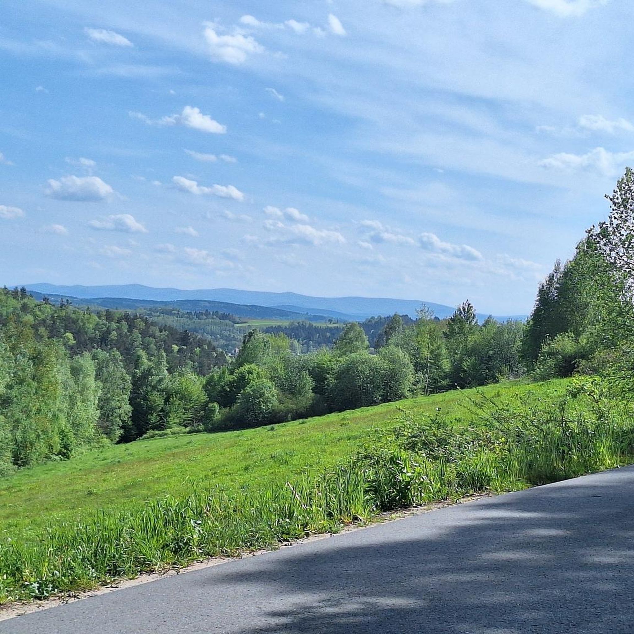
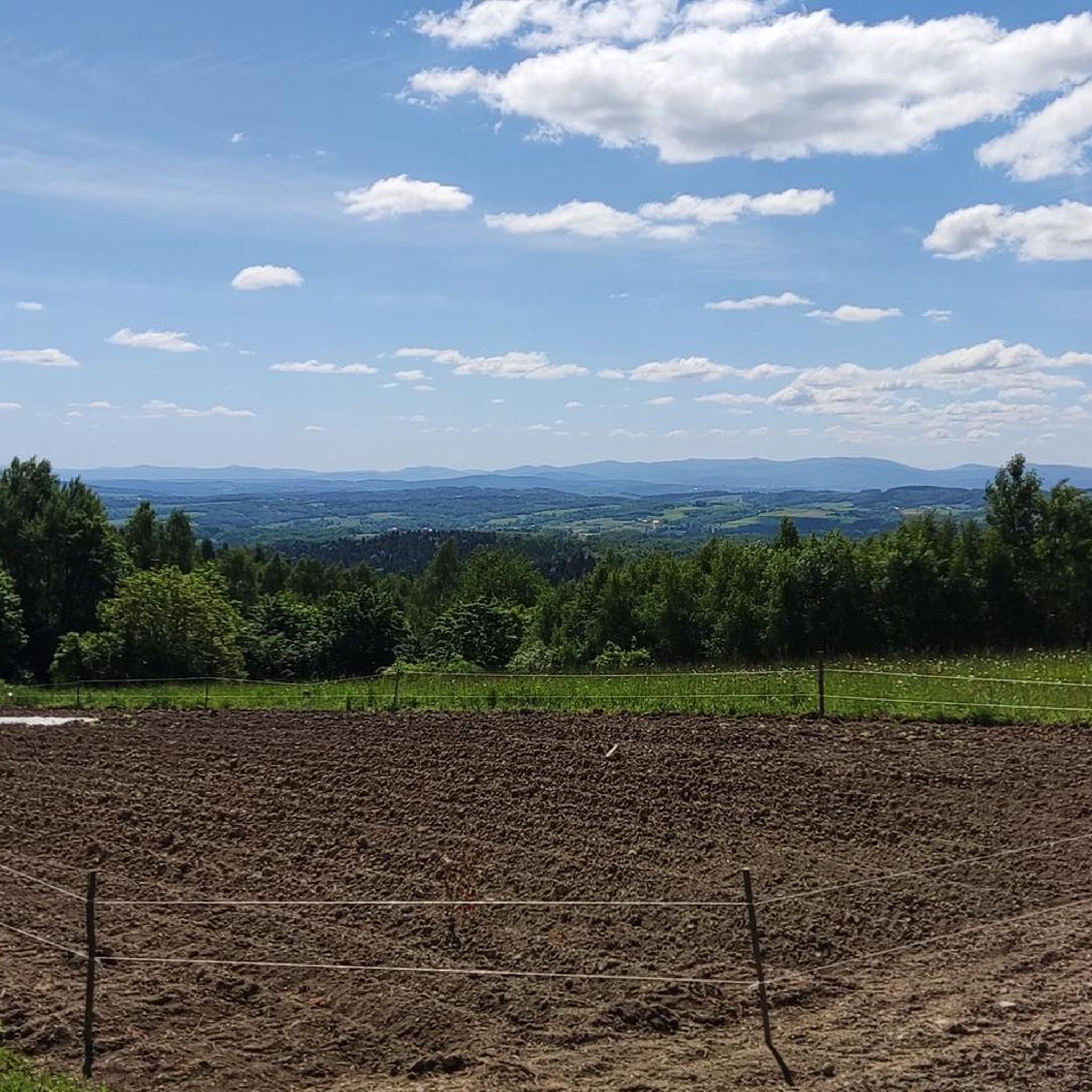
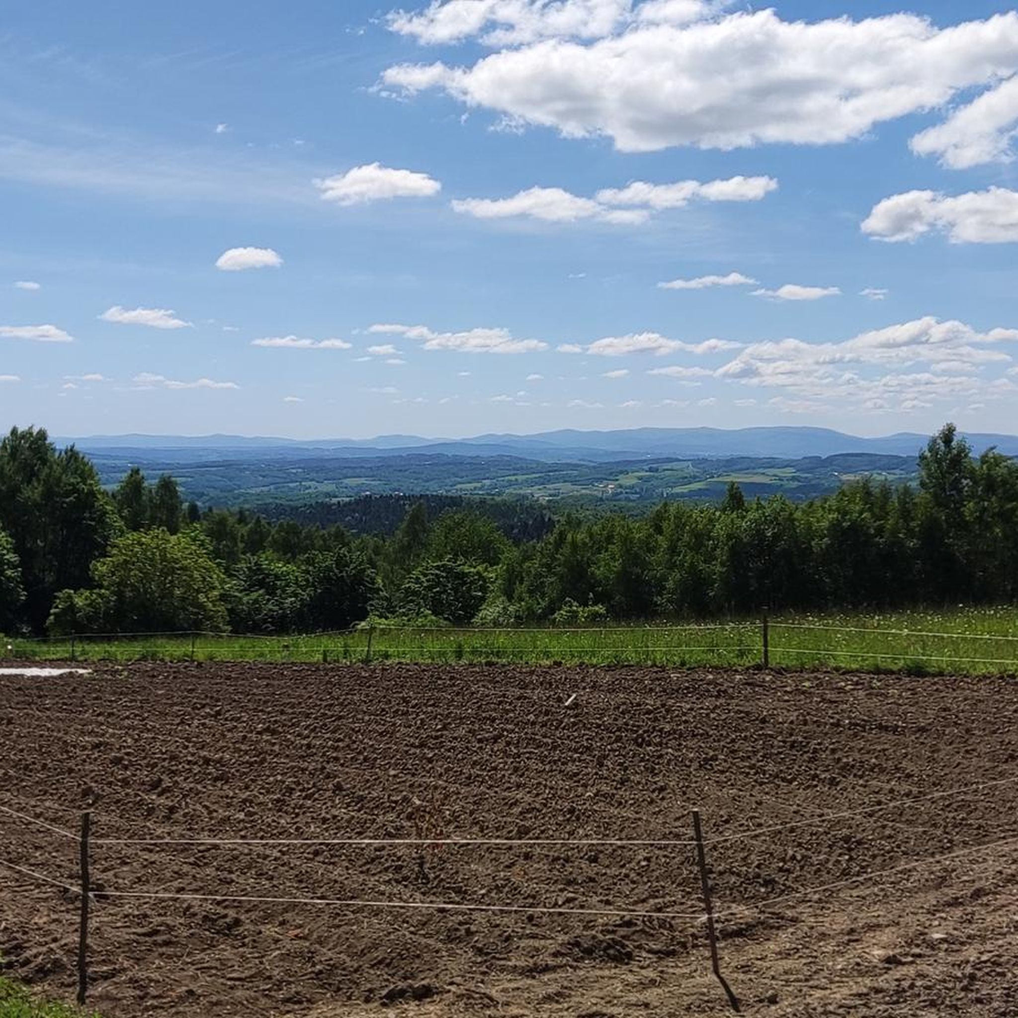
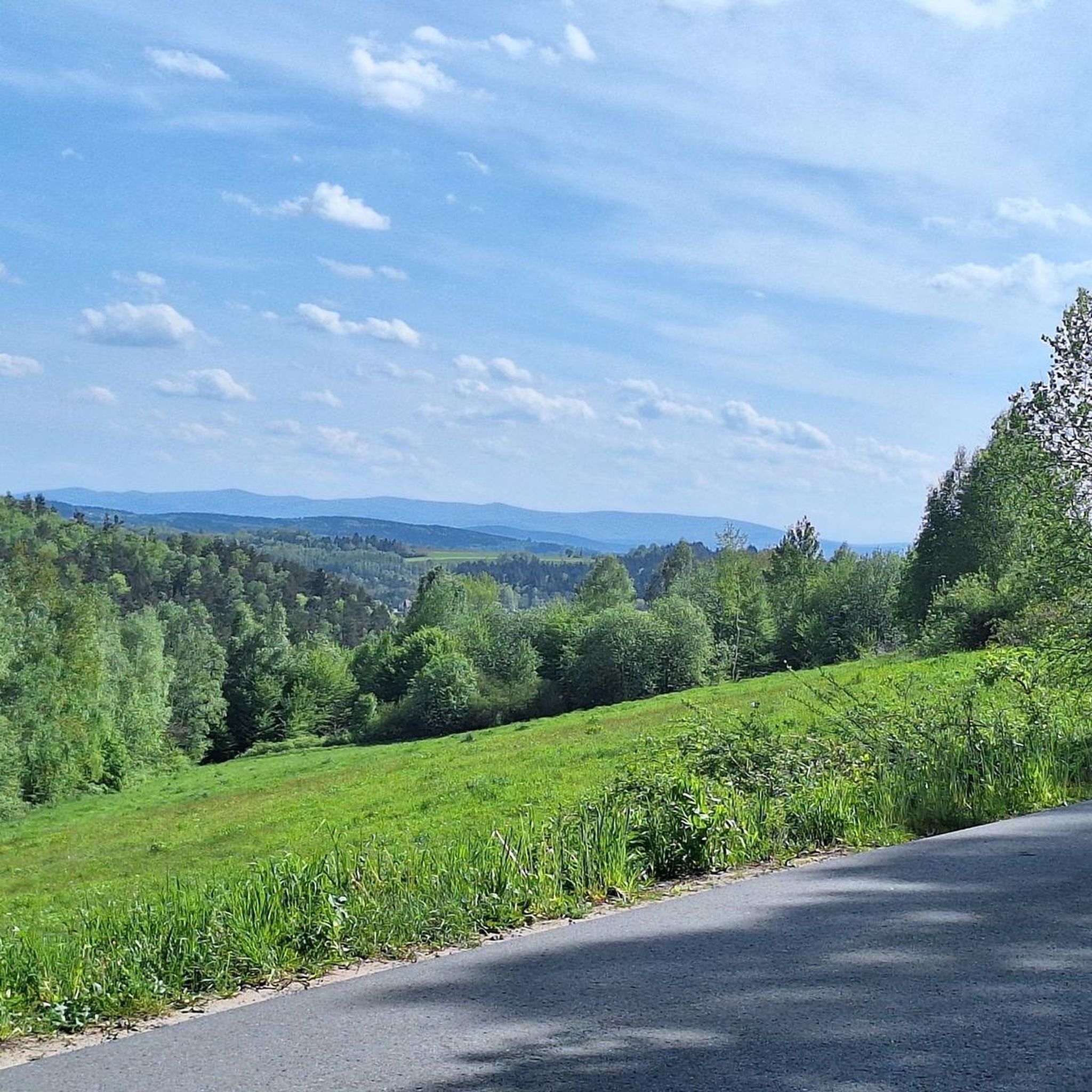
A great mountain shelter in Jodłówka Tucholska at an altitude of 508 m above sea level. You will eat well here and there are also accommodations - take a look at the mountain shelter's website http://www.brzanka.pl/ You are of course in a beautiful natural environment: beautiful green trees everywhere (in winter it will probably be snowy and white here), and the panorama from the top is so extraordinary that you are already being born into another Adam Mickiewicz! There is a great observation tower nearby, which of course you are already climbing.
1
0

The Liwocz nature reserve was established in 2004 to protect plant communities typical of the higher parts of the Więcwice Foothills and the sites of protected plants and animals. We will mainly see the Carpathian beech forest here. Within the reserve, there is a nature trail with information boards that leads to Mount Liwocz (562 m above sea level), where from the viewing platform we can admire the view of the foothills with the Wisłoka flowing below.
2
0

A beautiful place to rest and sit. Tasty dishes at good prices.
0
0
Beautiful panorama. I guess it's open 24 hours a day.
1
0

I recommend preparing water and something to eat! Good shoes and humor! (The trail is approx. 2 km long, so children can easily manage it!
1
0

Very nice place for the rest of the spot with a rocky top things
1
0
Frequently Asked Questions
What kind of hiking trails can I expect to find in Szerzyny?
Szerzyny, located in the Pogórze Ciężkowickie region, offers a variety of trails through rolling terrain, low mountains, and extensive forests. You'll find routes predominantly covered with pine, fir, beech, and birch trees, often leading to unique sandstone rock formations like Ostry Kamień and the Borówka towers. The area is well-suited for various levels of hiking, from easy forest walks to moderate climbs.
How many hiking routes are available around Szerzyny?
There are nearly 50 hiking routes available around Szerzyny. These include 25 easy trails, 21 moderate trails, and 3 more challenging options, ensuring there's something for every skill level.
Are there any easy hiking trails suitable for beginners or families?
Yes, Szerzyny offers 25 easy hiking trails. A good option for a gentle walk is the Liwocz Observation Tower – View from Góra Liwocz loop from gmina Brzyska, which is 4.0 km long and provides scenic views from Góra Liwocz.
What are some notable natural features or landmarks to see while hiking in Szerzyny?
The region is known for its unique sandstone rock formations. You can explore areas like Ostry Kamień, a distinctive sandstone outcrop, or the impressive Borówka towers. Additionally, the Liwocz Nature Reserve offers beautiful forested landscapes. For panoramic views, consider visiting the Moszczenica Wiatrówki Observation Tower.
Are there any circular hiking routes in Szerzyny?
Yes, many routes in Szerzyny are designed as loops. For example, the Loop Reserve Liwocz - Góra Liwocz is an easy 4.7 km circular trail through forested hills. Another option is the moderate Diabli Kamień Rocks – Mountain Hut Brzanka loop from Park Krajobrazowy Pasma Brzanki, which takes you through the Pasmo Brzanki Landscape Park.
What do other hikers say about the trails in Szerzyny?
The hiking trails in Szerzyny are highly regarded by the komoot community, with an average rating of 4.5 out of 5 stars from over 50 reviews. Hikers often praise the tranquil rural countryside, the scenic forested hillsides, and the unique geological features like the rock formations.
Are there any trails that lead to mountain huts or shelters?
Yes, some trails in the area lead past or to mountain huts. For instance, the Cairn on Brzanka – Shepherd's Hut on Brzanka loop from Ptasznik (Ptasia Góra) includes the Shepherd's Hut on Brzanka, which can be a good spot for a break.
What is the terrain like on the hiking trails in Szerzyny?
The terrain in Szerzyny is characterized by rolling hills and low mountains, with elevations such as Ostry Kamień (483m) and Góra Gilowa (502m). Trails often involve ascents and descents through forests, and you may encounter interesting sandstone rock formations. The paths are generally well-suited for hiking, offering a natural and varied experience.
Are there any cultural or historical points of interest near the hiking areas?
While the primary focus is on natural landscapes, you can find some cultural points of interest nearby. The Ryglice Market Square offers a glimpse into local life, and the impressive Basilica of the Visitation of the Blessed Virgin Mary in Tuchów is also within reach.
What is the best season for hiking in Szerzyny?
Szerzyny offers pleasant hiking conditions across multiple seasons. Spring and autumn provide vibrant colors and comfortable temperatures, while summer allows for full enjoyment of the forested trails. Winter hiking is also possible, though conditions may vary, especially on higher elevations.
Are there any trails that specifically feature the Ostry Kamień rock formation?
Yes, you can explore the area around the unique Ostry Kamień rock formation. The Ostry Kamień – Shepherd's Hut on Brzanka loop from Park Krajobrazowy Pasma Brzanki is a moderate 7.4 km route that allows you to experience this distinctive geological feature.
Most popular attractions around Szerzyny

Get inspired with the komoot mobile app


Explore more
Browse the best Hikes in other regions.
