The best running trails around Zakroczym
4.4
(13)
469
runners
91
runs
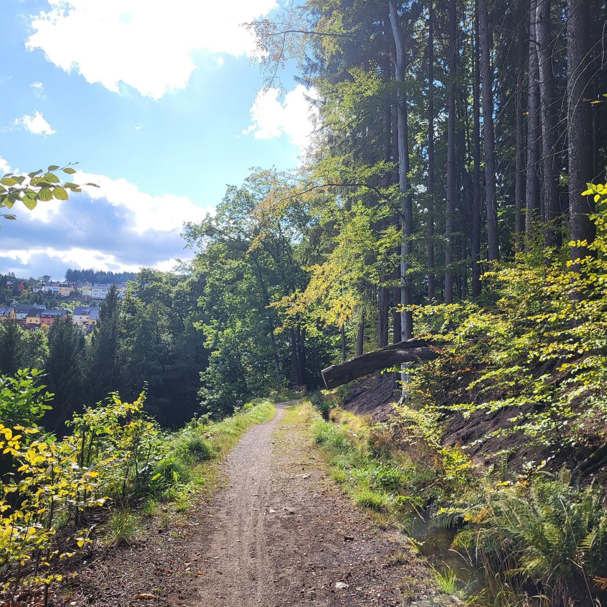
Jogging around Zakroczym offers access to diverse natural landscapes, including the Vistula River and the nearby Kampinos National Park. The region features a mix of terrains, from riverine paths to the varied environments within nature reserves like Biela and Krzywa Góra, which include inter-dune valleys, low peat bogs, and oak-hornbeam forests. These areas provide a network of running trails suitable for various fitness levels, characterized by gentle elevation changes and natural surroundings.
Best jogging routes around Zakroczym
- The most popular…
Last updated: October 11, 2026
12
runners
4.81km
00:30
30m
30m
Easy run. Great for any fitness level. Mostly paved surfaces. Suitable for all skill levels.
9
runners
Moderate run. Good fitness required. Mostly paved surfaces. Suitable for all skill levels.

9
runners
13.1km
01:22
50m
50m
Moderate run. Good fitness required. Mostly paved surfaces. Suitable for all skill levels.
8
runners
Moderate run. Good fitness required. Mostly paved surfaces. Suitable for all skill levels.
5
runners
5.27km
00:34
30m
30m
Moderate run. Good fitness required. Mostly paved surfaces. Suitable for all skill levels.
Get access to more routes and recommendations from other explorers.
Already have an account?
Our route recommendations are based on thousands of hikes, rides, and runs completed by other people on komoot.
Start today with a free account
Your next adventure awaits.
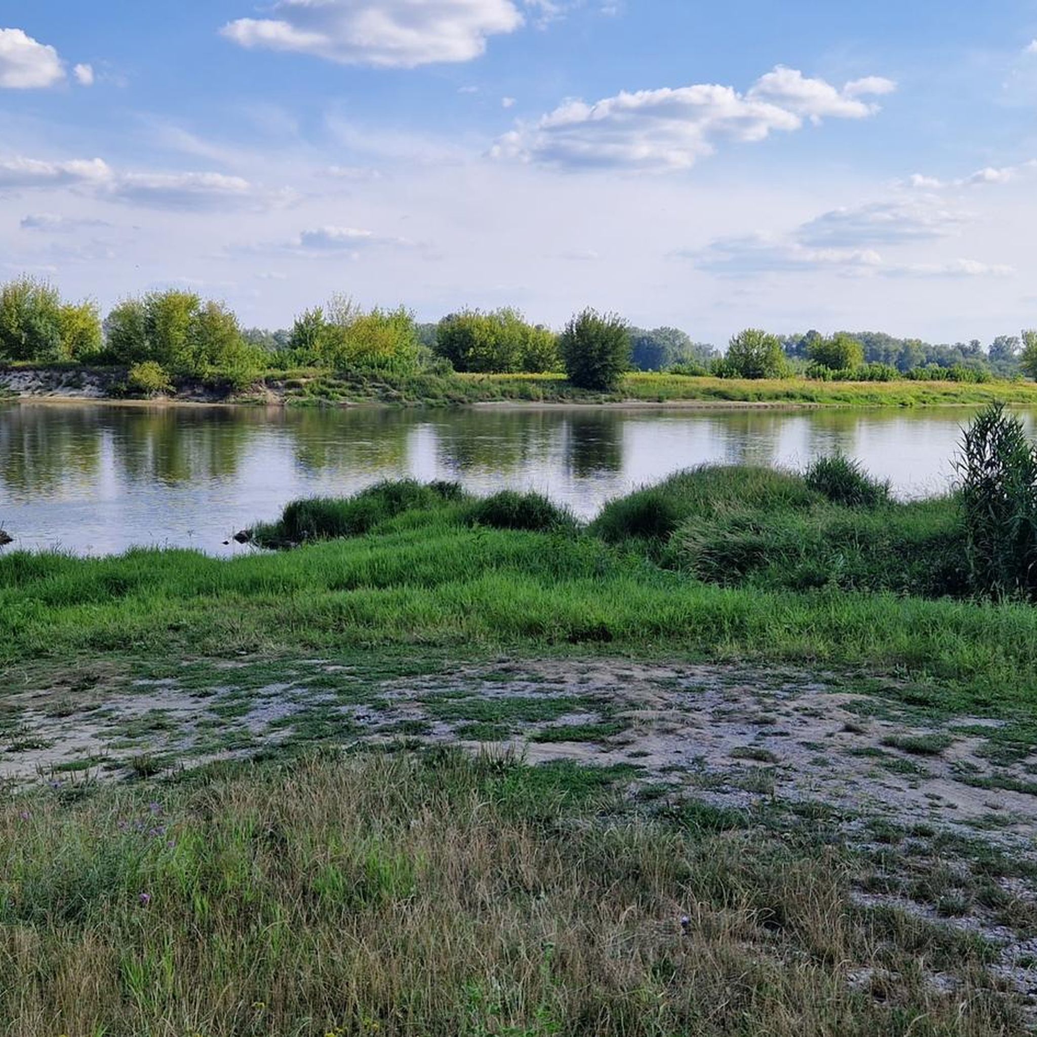
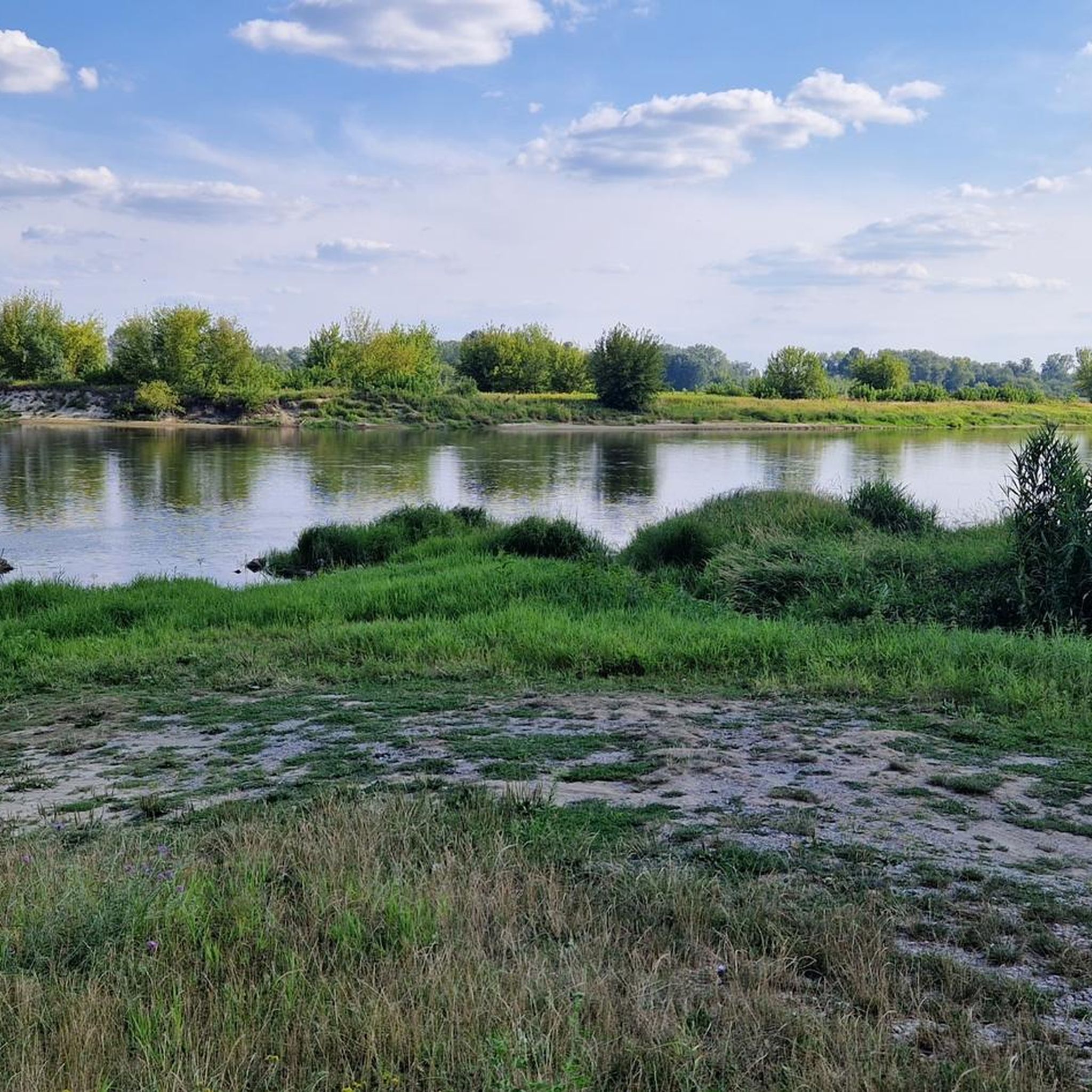
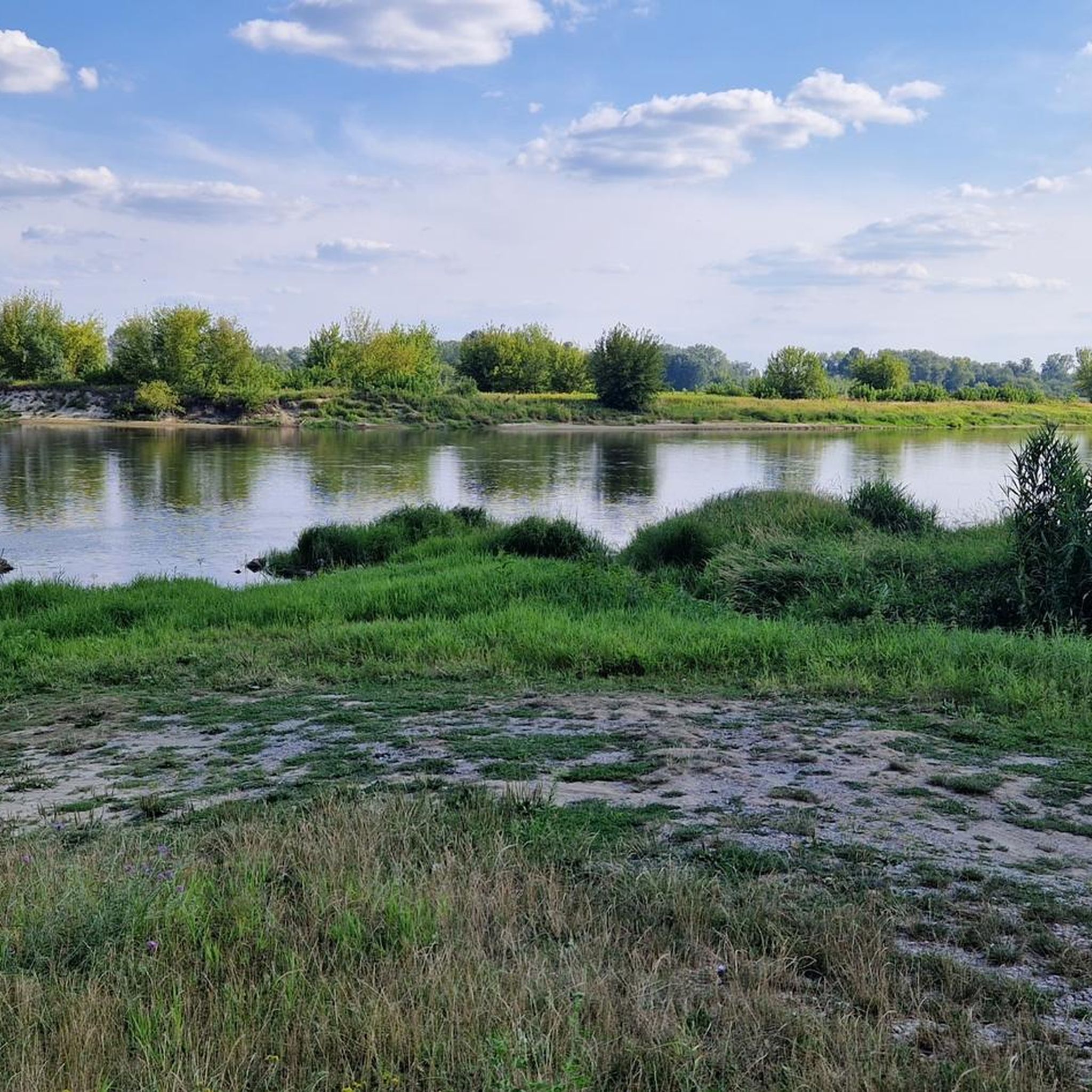
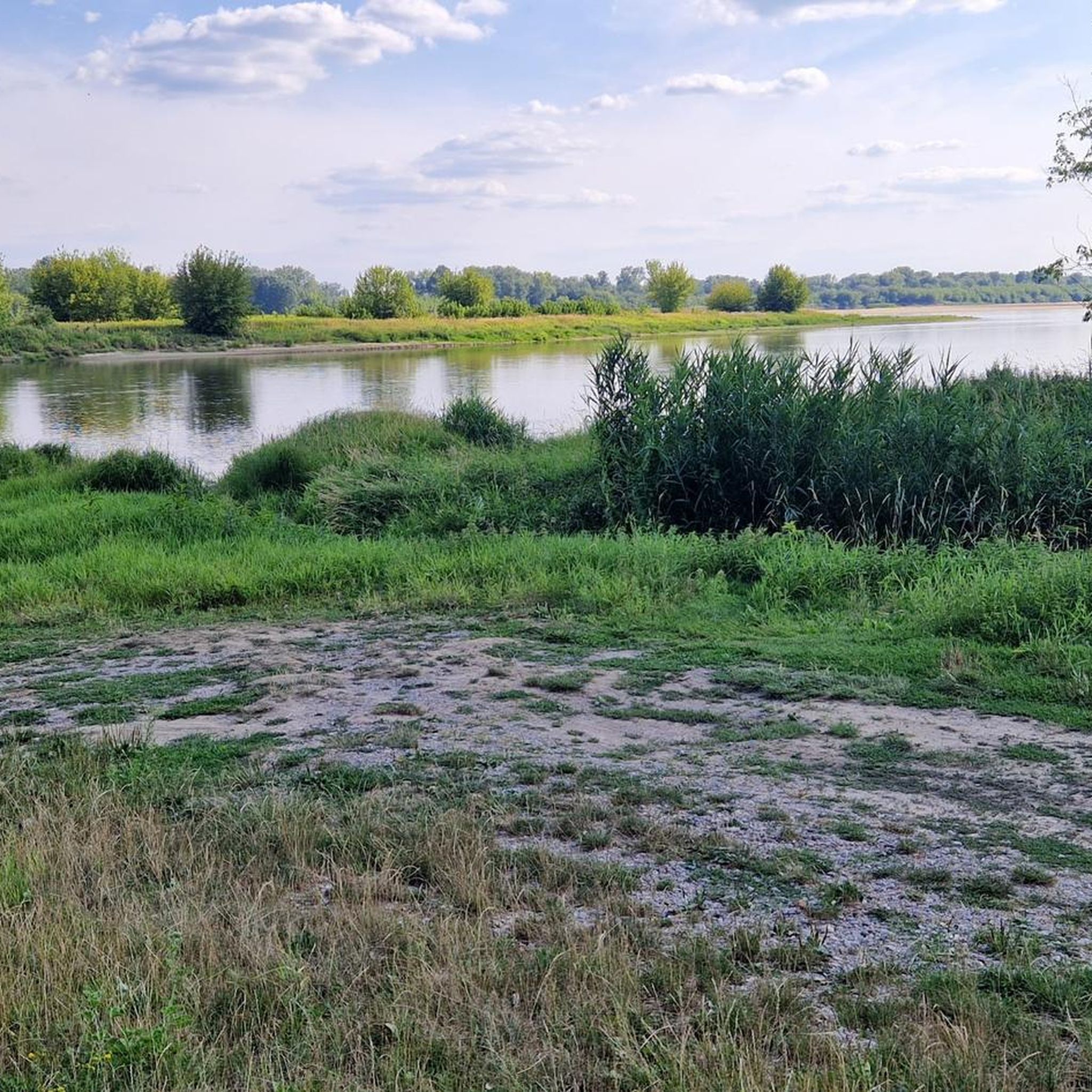
Tips from the Community

great place, I highly recommend it
0
0

The gate was built in 1837. It was located in the curtain wall between Bastions III and IV. The gate is single-story, constructed of brick with reinforced ashlar elements. It was guarded by two artillery positions in two openings on the sides. It received a neo-Gothic façade on the exterior, with one decorative axe surviving to this day. The gate's external thresholds were located high above the fortress ditch at the edge of the ramparts. A wooden bridge once led to the gate, of which only 16 brick pillars remain. The bridge curved slightly closer to the gate so that the gate and the bridge were not aligned during firing. General Dąbrowski Street once began at the bridge. The gate is now a ruin.
0
0
Metal stairs leading to the "White Blocks." Possible missing steps!
0
0
A brick defensive wall with embrasures, either on the slope of a rampart or at its foot in a fortress ditch, used in fortifications primarily in the first half of the 19th century. The wall could contain embrasures for small arms. The purpose of the Carnot wall was to make it difficult for an enemy to cross the ditch. It was first used by the French military engineer General Lazare Nicolas Carnot in his 1772 drawing. Some bricks clearly bear the names of the brickworks where they were made. Source: https://pl.wikipedia.org/wiki/Mur_Carnota
0
0
An artillery tower built around 1900 on a J-shaped plan, made of brick with stone detailing, known as the "elevator" (elevator). Located on the Vistula River, it was two and three stories high, originally covered with earth, now with a roof. On the inner side (courtyard), rooms were designated as soldiers' quarters; on the outer side, these rooms were the combat section of the tower, where cannons could be positioned if necessary. Since there was no military activity during the Russians' stay in the Novogiergievsk Fortress, the Russians converted it into a grain warehouse (elevator) to utilize it. Together with the mill, flour warehouse, and bakery, they formed the so-called "supply line." Source: https://Twierdzamodlin.pl/Twierdza-modlin/najciekawsze-budowle/#elewator
0
0
A monument in the form of a plaque with text and an anchor commemorating the first port of the reborn Second Polish Navy. It was unveiled on June 21, 1997, at the initiative of members of the Maritime League Association and the residents of Nowy Dwór Mazowiecki. The monument is situated on the right bank of the Narew River, directly opposite the entrance to the former naval port located near the Lieutenant Feliks Pancer Bridge.
0
0
The former artillery kennel (also known as a caponier) was built during the expansion of the Modlin Fortress citadel between 1832 and 1844. Before World War I, the building had four stories; from August 1915, only two. Just a dozen or so years ago, a figure of a knight, carved from sheet metal, stood on the building's "terrace." The name "Knight" was familiar among the locals; if you arranged to meet someone at "Knight," you knew where they were. Unfortunately, there's no trace of it left. From the caponier's "terrace," you can see the ruins of a granary and the confluence of the Narew and Vistula Rivers. For several years, a mural referencing the Napoleonic era has been displayed on the citadel's walls (to the right of the stairs).
0
0
It is one of four preserved brick buildings from the times of the Duchy of Warsaw. Napoleon himself is said to have participated in the process of creating the plans.
0
0
Frequently Asked Questions
How many running routes are available around Zakroczym?
There are over 40 running routes around Zakroczym, offering a variety of options for different fitness levels. You'll find 8 easy routes, 30 moderate routes, and 4 more challenging trails.
What kind of terrain can I expect on the jogging trails in Zakroczym?
The jogging trails around Zakroczym feature diverse terrain. You can expect riverine paths along the Vistula, as well as varied environments within nature reserves like Biela and Krzywa Góra. These include inter-dune valleys, low peat bogs, and oak-hornbeam forests, generally with gentle elevation changes.
Are there any family-friendly running routes in the Zakroczym area?
Yes, Zakroczym offers several easy running routes suitable for families. For example, the Running loop from Zakroczym is an easy 4.9 km path that provides accessible local trails for a pleasant family run.
Can I bring my dog on the running trails around Zakroczym?
Many natural areas and trails around Zakroczym, including those within Kampinos National Park, are generally dog-friendly. However, it's always recommended to keep dogs on a leash, especially in nature reserves like Biela and Krzywa Góra, to protect local wildlife and ensure a pleasant experience for all users.
What are some interesting landmarks or natural features to see while running near Zakroczym?
While running near Zakroczym, you can explore several notable landmarks and natural features. Consider routes that pass by historical sites such as Modlin Fortress — Cadets' Gate or the Officers' Club. For natural beauty, trails often lead through areas like the Biela Nature Reserve with its educational trail, or the diverse landscapes of Krzywa Góra Nature Reserve.
Are there any circular running routes available?
Yes, many of the running routes around Zakroczym are circular. A popular option is the Modlin Fortress — Cadets' Gate – Meciszewski Caponier loop from Modlin Fortress, which is a moderate 9.1 km trail. Another is the Twierdza Modlin loop from Modlin Fortress, covering 10.6 km.
What do other runners enjoy most about jogging in Zakroczym?
The running routes in Zakroczym are highly rated by the komoot community, with an average score of 4.7 stars. Runners often praise the diverse natural landscapes, the proximity to the Vistula River and Kampinos National Park, and the variety of trails suitable for different ability levels.
Are there any longer running trails for experienced runners?
Yes, for more experienced runners looking for longer distances, routes like the Rybitew Nature Reserve loop from Leoncin offer a moderate 12.7 km challenge. The region also features several other moderate to difficult trails that provide extended running opportunities.
What is the best time of year to go running in Zakroczym?
Zakroczym's natural setting makes it suitable for running throughout much of the year. Spring and autumn offer pleasant temperatures and beautiful scenery, especially with the changing foliage. Summer is also popular, though it's advisable to run during cooler parts of the day. Winter running is possible, but trails may be covered in snow or ice, requiring appropriate gear.
Is there public transport access to the running trails near Zakroczym?
Zakroczym and nearby towns like Nowy Dwór Mazowiecki often have public transport connections. While specific bus stops directly at trailheads might vary, you can typically reach the general area by bus or train and then access the trails with a short walk. It's recommended to check local transport schedules for the most up-to-date information.
Are there cafes or places to get refreshments near the running routes?
While the immediate trailheads might be in natural settings, you can usually find cafes and refreshment options in Zakroczym itself or in nearby towns like Nowy Dwór Mazowiecki. These towns offer places to refuel before or after your run.
Can I find running routes along the Vistula River near Zakroczym?
Yes, the Vistula River is a prominent natural feature near Zakroczym, and the area offers potential for tranquil routes with water views. While specific dedicated paths along the immediate Zakroczym stretch may vary, the river's presence suggests opportunities for scenic riverside running.
Most popular attractions around Zakroczym

Get inspired with the komoot mobile app


Explore more
Browse the best Running Trails & Routes in other regions.
