The best running trails around gmina gmina Strzelce Opolskie
5.0
(10)
369
runners
31
runs
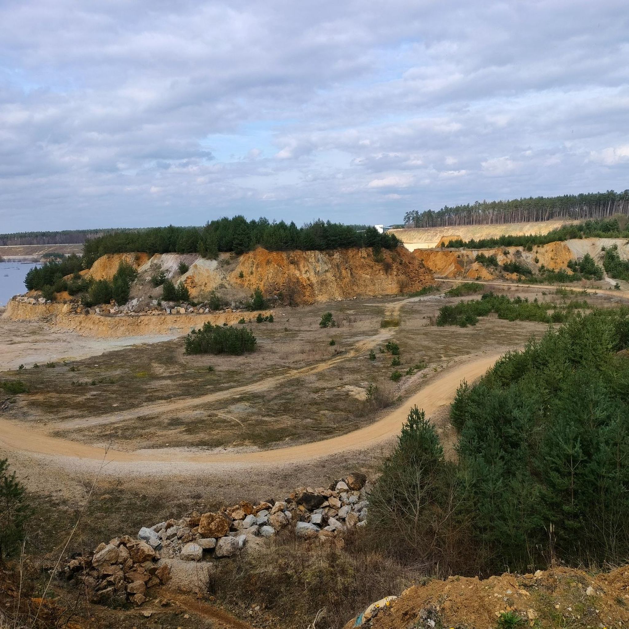
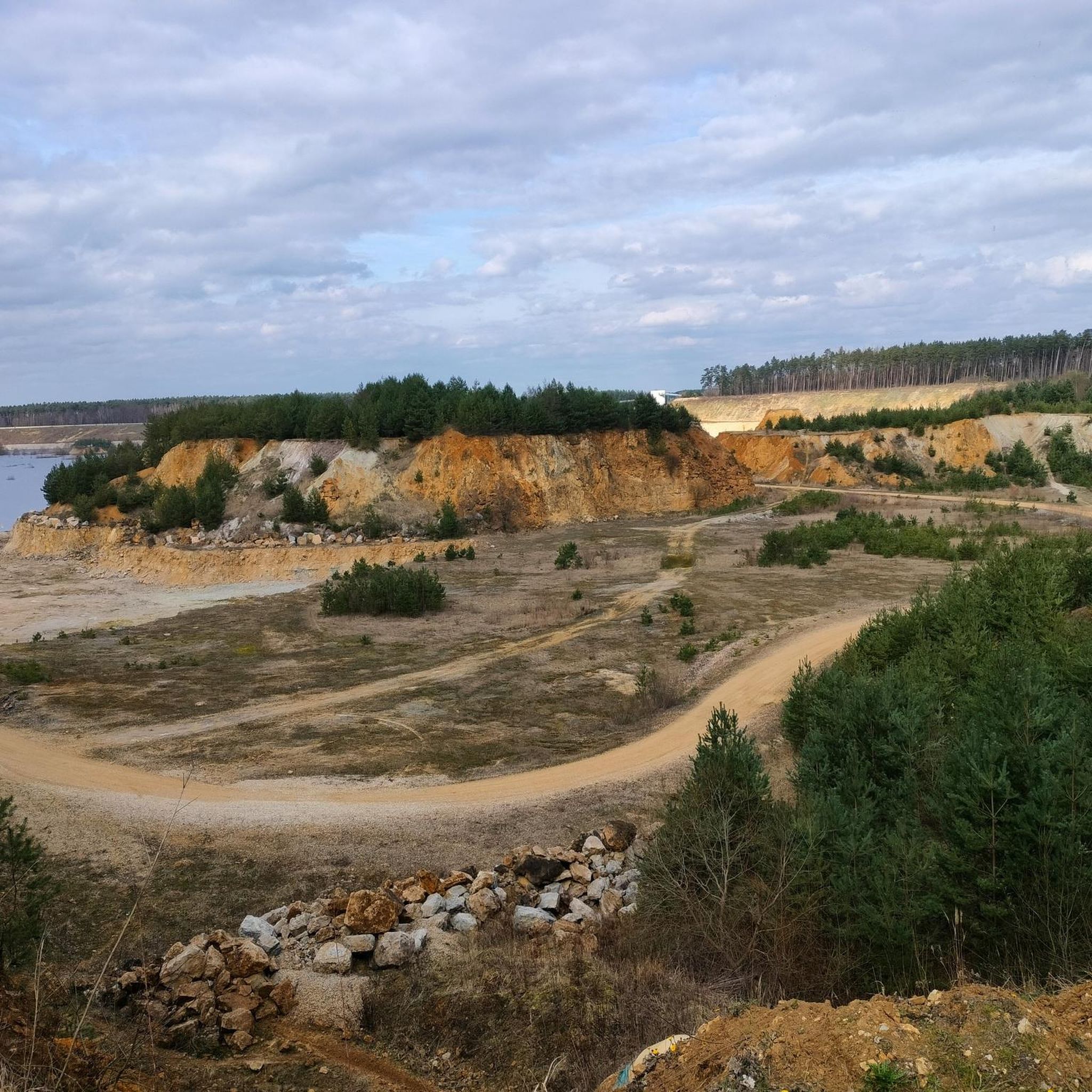
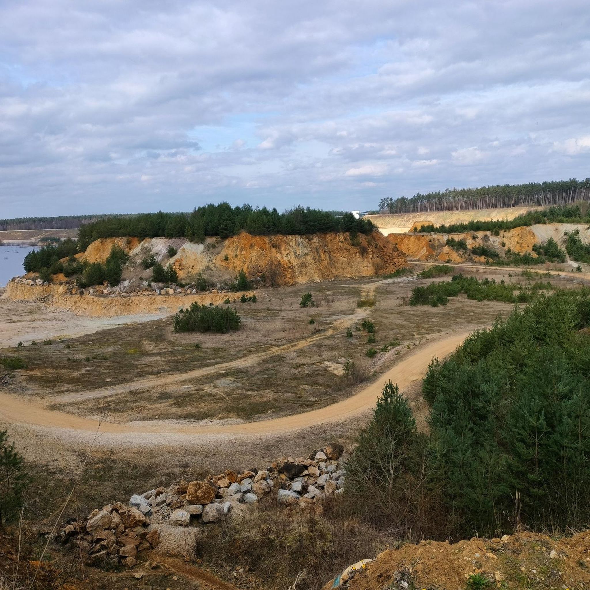
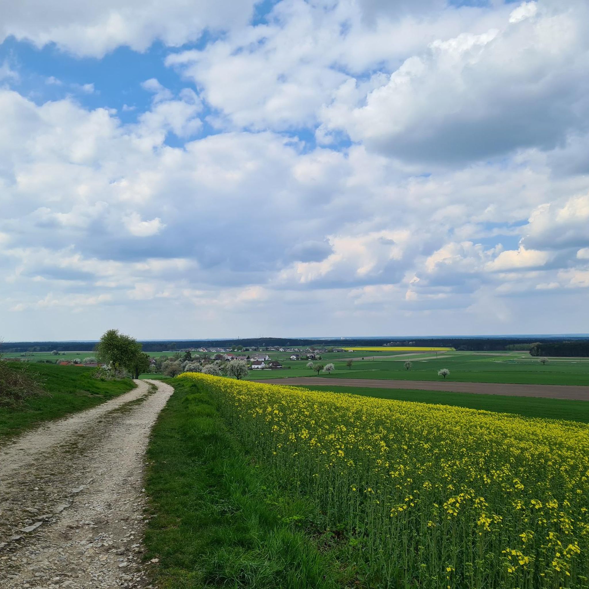
Jogging around gmina gmina Strzelce Opolskie offers diverse terrain, characterized by volcanic hills, extensive forests, and river valleys. The region features the Landscape Park "Góra Świętej Anny" with its unique geological formations and the vast "Bory Stobrawsko-Turawskie" protected landscape area. Within Strzelce Opolskie, the Municipal Park provides accessible green spaces for running. These varied environments ensure a range of scenic jogging routes.
Best jogging routes around gmina gmina Strzelce Opolskie
- The most popular jogging route is Chapel of Jezus Frasobliwy…
Last updated: July 15, 2026
72
runners
15.3km
01:36
80m
80m
Hard run. Very good fitness required. Mostly paved surfaces. Suitable for all skill levels.
5.0
(2)
86
runners
28.2km
03:31
680m
680m
Hard run. Very good fitness required. Mostly accessible paths. Some sure footedness required.

Sign up for free
5.0
(2)
22
runners
Hard run. Very good fitness required. Mostly paved surfaces. Suitable for all skill levels.
5.0
(2)
20
runners
13.9km
01:36
250m
250m
Moderate run. Good fitness required. Mostly paved surfaces. Suitable for all skill levels.
12
runners
9.05km
00:56
40m
30m
Moderate run. Good fitness required. Mostly paved surfaces. Suitable for all skill levels.
Get access to more routes and recommendations from other explorers.
Sign up for free
Already have an account?
Our route recommendations are based on thousands of hikes, rides, and runs completed by other people on komoot.
Start today with a free account
Your next adventure awaits.
Login or Signup

Tips from the Community

This is a historic sanctuary from the 15th century. It is famous for the cult of St. Anne, whose figure and relics are located in the basilica. High stairs lead to the church - this is the highest point of the Silesian Upland, which can be seen from afar from everywhere here. For pilgrims, it is a must to visit this place.
1
0

Very nice place, lots of cyclists and you can cycle right into the courtyard of the church
1
0

A very beautiful church and a well-known pilgrimage site in Poland. It's worth a visit.
1
0

An excellent viewpoint with a park.
3
0

The Biesiec Nature Reserve, located in the Opole Province, was established in 2001 and covers an area of 24.66 ha. It is located in the "Góra Św. Anny" Landscape Park and the Natura 2000 "Góra Św. Anny" area, near the town of Biesiec. The purpose of the reserve's protection is to preserve the beech forest with numerous protected and rare plant species. This area is characterized by a diverse terrain and a wealth of flora and fauna, which makes it a valuable place for nature lovers and hikers.
1
0
The amphitheater on St. Anne's Mountain was built in 1934–1938 on the site of a former quarry. It was designed by Franz Böhmer and Georg Petrich and could accommodate around 50,000 spectators. The stands were made of local Gogolin limestone. Above the amphitheater was a mausoleum for Germans who died in the Third Silesian Uprising, which was destroyed after the war. In 1955, the Monument to the Uprising by Xawery Dunikowski was unveiled in its place. Today, the amphitheater still attracts tourists with its monumental architecture and historical significance.
2
0

The chapel with the Sorrowful Jesus
0
0

Very beautiful church with lots of things to see
4
0
Frequently Asked Questions
How many running routes are available in Gmina Strzelce Opolskie?
Gmina Strzelce Opolskie offers a good selection of running routes, with 23 trails available for various skill levels. These include easy, moderate, and difficult options, ensuring there's something for every runner.
What kind of terrain can I expect on jogging routes in Gmina Strzelce Opolskie?
The region boasts diverse terrain, from the unique volcanic hills of the Landscape Park "Góra Świętej Anny" to extensive forests like "Bory Stobrawsko-Turawskie" and tranquil river valleys. You'll also find well-maintained paths in urban green spaces such as the Municipal Park.
Are there running trails suitable for beginners in the area?
Yes, there are routes suitable for beginners. While many trails are moderate, there is at least one easy route available. The urban parks, like the Municipal Park, also offer gentler paths perfect for those new to running or looking for a relaxed jog.
Can I find challenging long-distance running trails in Gmina Strzelce Opolskie?
Absolutely. For those seeking a challenge, there are 6 difficult routes available. A notable long-distance option is the Ruins of Waldhof Manor loop from Ligota Dolna, which spans 14.2 miles (22.8 km) and features significant elevation gain through varied landscapes.
What do other runners say about the trails in Gmina Strzelce Opolskie?
The running routes in Gmina Strzelce Opolskie are highly rated by the komoot community, with an average score of 5.0 stars. Over 270 runners have explored the varied terrain, often praising the scenic beauty and diverse environments, from volcanic hills to extensive forests.
Are there any circular jogging routes in the region?
Yes, many of the running routes in Gmina Strzelce Opolskie are designed as circular loops, allowing you to start and finish at the same point. For example, the Biesiec Nature Reserve – Góra Świętej Anny Geopark loop from Ligota Dolna is a popular circular trail.
Are there scenic running trails with viewpoints?
Yes, the Landscape Park "Góra Świętej Anny" is an excellent area for scenic runs with viewpoints. Its location on the Chełm Hump, rising to 404 meters, offers picturesque views over the Opole Plain and Racibórz Basin. The volcanic origins also create interesting geological formations to observe.
Where can I jog within the town of Strzelce Opolskie itself?
Within Strzelce Opolskie, the Municipal Park (Park Miejski), covering 65 hectares, is an ideal spot for jogging. It features historic trees, natural monuments, and a pond. Renard's Park (Park Renardów) is another great option, known for its established paths and suitability for outdoor activities.
Are there any running routes that pass by historical or natural landmarks?
Yes, several routes offer glimpses of interesting landmarks. For instance, the area around Góra Świętej Anny combines natural beauty with cultural sights like the Sanctuary of St. Anne. You might also encounter natural monuments such as the Amphitheater on Góra Świętej Anny or the Gorge in the Góra Świętej Anny Landscape Park.
Are dogs allowed on the running trails in Gmina Strzelce Opolskie?
Generally, dogs are welcome on most outdoor trails in Gmina Strzelce Opolskie, especially in forest areas and parks. It's always recommended to keep your dog on a leash and clean up after them to ensure a pleasant experience for everyone.
Are there any running routes through protected natural areas?
Yes, the region includes several protected natural areas perfect for running. The "Bory Stobrawsko-Turawskie" is a vast forested region, and nature reserves like "Ligota Dolna" and "Tęczynów" offer tranquil settings amidst unique ecosystems. The Running loop from Sprzęcice takes you through natural woodlands.
What are some moderate running options in the area?
Gmina Strzelce Opolskie has 16 moderate routes, providing a good balance of challenge and accessibility. A popular choice is the Running loop from Strzelce County, which is 9.0 km long and offers a pleasant run through the local landscape.
Most popular routes around gmina gmina Strzelce Opolskie
Most popular attractions around gmina gmina Strzelce Opolskie

Get inspired with the komoot mobile app


Explore more
Browse the best Running Trails & Routes in other regions.
