The best cycling routes around gmina Czarna
4.7
(413)
2,829
riders
174
rides
Touring cycling routes around gmina Czarna traverse a landscape characterized by river valleys, forested hills, and sections of the Otryt Range. The region, located in Podkarpackie, Poland, offers varied terrain suitable for different cycling preferences. Routes often follow the Wołosate and San Rivers, providing scenic views and a mix of gradients. The area features both open stretches and wooded paths, with elevations that include significant climbs.
Best touring cycling routes around gmina Czarna
- The most popular touring cycling route is…
Last updated: July 6, 2026
4.7
(9)
86
riders
80.3km
05:21
1,280m
1,280m
Hard bike ride. Very good fitness required. Mostly paved surfaces. Suitable for all skill levels.
5.0
(4)
56
riders
102km
06:39
1,480m
1,480m
Hard bike ride. Very good fitness required. Mostly paved surfaces. Suitable for all skill levels.

Sign up for free
4.8
(5)
16
riders
37.1km
03:07
700m
700m
Hard bike ride. Very good fitness required. You may need to push your bike for some segments of this route.
13
riders
106km
09:14
1,850m
1,850m
Hard bike ride. Very good fitness required. Mostly paved surfaces. Suitable for all skill levels.
4.5
(2)
11
riders
27.2km
02:04
430m
430m
Hard bike ride. Good fitness required. You may need to push your bike for some segments of this route.
Get access to more routes and recommendations from other explorers.
Sign up for free
Already have an account?
Our route recommendations are based on thousands of hikes, rides, and runs completed by other people on komoot.
Start today with a free account
Your next adventure awaits.
Login or Signup


Tips from the Community

For amateurs, it's better to take a correction for the ride time 😂
0
0

Wyżna Pass, located at an altitude of 872 m above sea level in the Western Bieszczady Mountains, is one of the most recognizable places in the region. The pass offers a magnificent panorama of Połonina Wetlińska, Połonina Caryńska and Tarnica, the highest peak of the Western Bieszczady Mountains. For road cyclists, it is an attractive point on the Great Bieszczady Loop route, offering well-maintained asphalt roads. There is a large parking lot, a bus stop and an inn on site, making it a convenient place to rest. It is also worth paying attention to the monument dedicated to Jerzy Harasymowicz, a poet associated with the Bieszczady Mountains.
1
0
These metal kilns are used for traditional charcoal burning, which for many years was an important part of the region's economy. They can be seen in various parts of the Bieszczady Mountains, where professional charcoal burners still work. The burning process takes several days and requires constant monitoring, making it an extremely demanding craft.
1
0

Situated at an altitude of 872 m above sea level. The Wyżna Pass, also called the Bereham Pass, separates the Połonina Wetlińska range from Dział. The road from Ustrzyki Górne to Wetlina and the hiking trail from Połonina Wetlińska to Dział run through the pass. At the pass there is a huge parking lot for cars (even for buses), and at the end of it there is a restaurant and a view point over the meadows. In short: it is a crowded, unpleasant place, but with a very nice view.
1
0
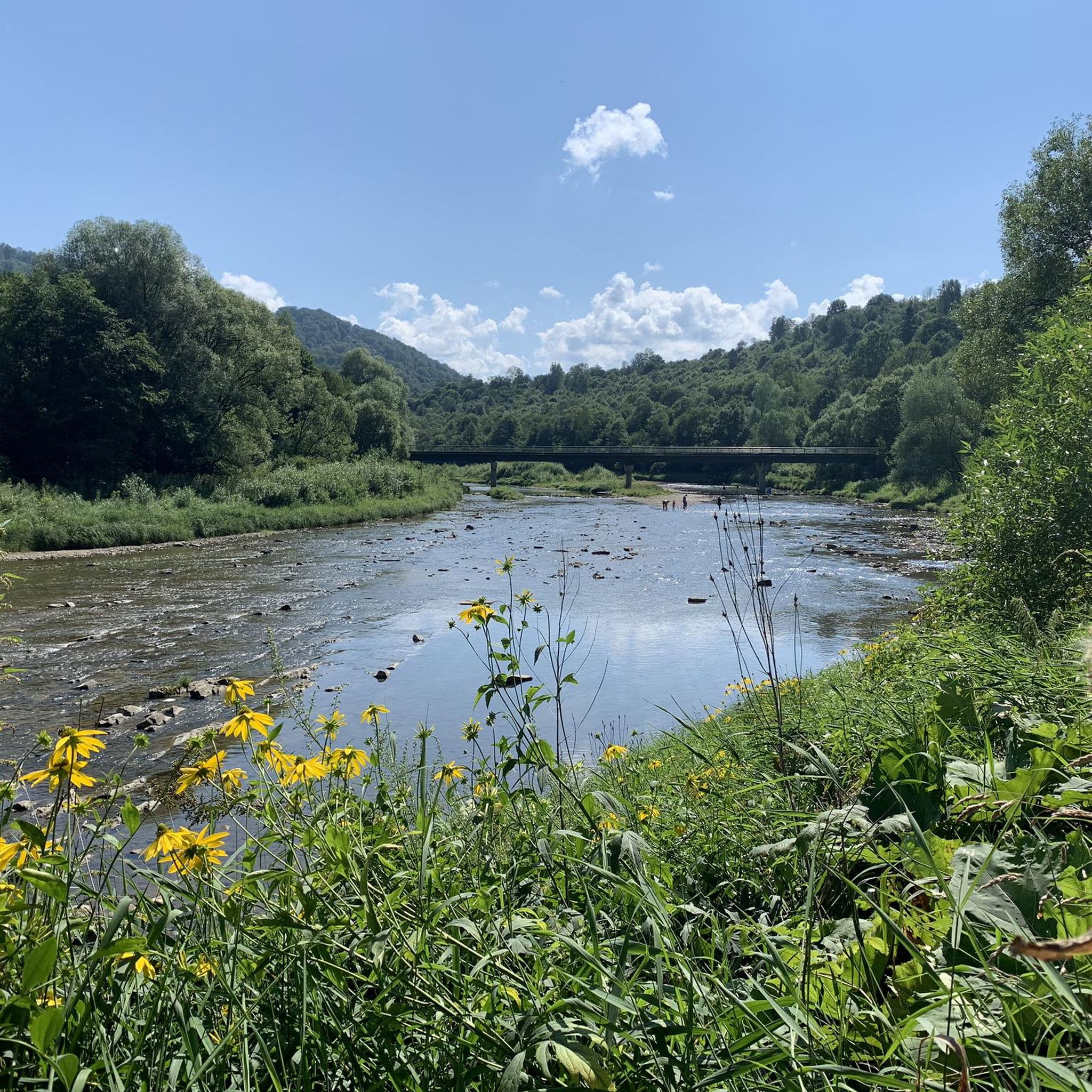
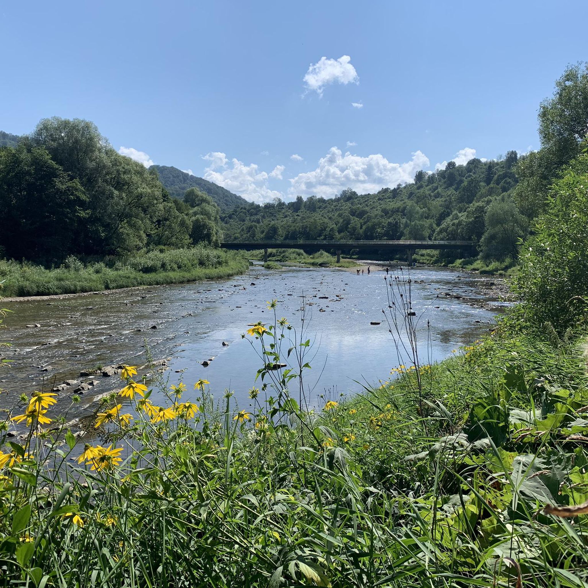
A wooden bridge on stone supports and the San River below.
2
0
The village of Chmiel has existed since 1502. The first mention of an Orthodox church in the village dates back to 1584. A second wooden church was built (probably on the site of the old one) in 1795. It existed until 1904. The current church was built in 1906. After the war, the village found itself within the borders of the Soviet Union, but in 1951, as a result of the straightening of the borders, it returned to Poland. However, the residents did not return. The abandoned church began to fall into disrepair. In the 1960s, it was turned into a warehouse. In 1969, it was recovered and converted into a church. Next to the church, under a roof, there is a tombstone of Fieronia Orlicka, who died in 1644. She was originally buried in the church, but after it was demolished and another one was built, it ended up outside it. Partially covered with earth, it has survived to this day. In 2011 it was exposed. The roof under which it is located is a copy of the upper part of the former church bell tower.
1
0
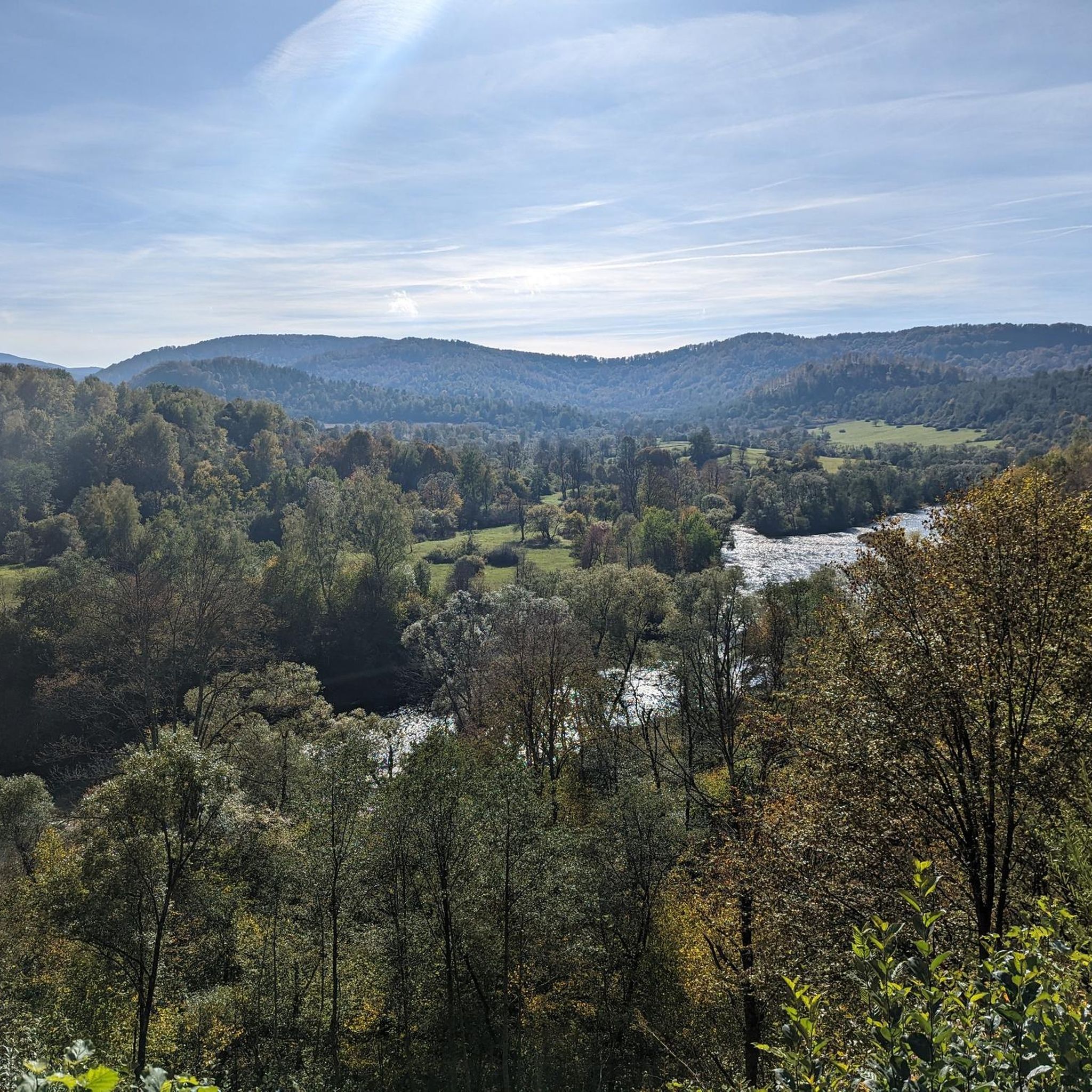
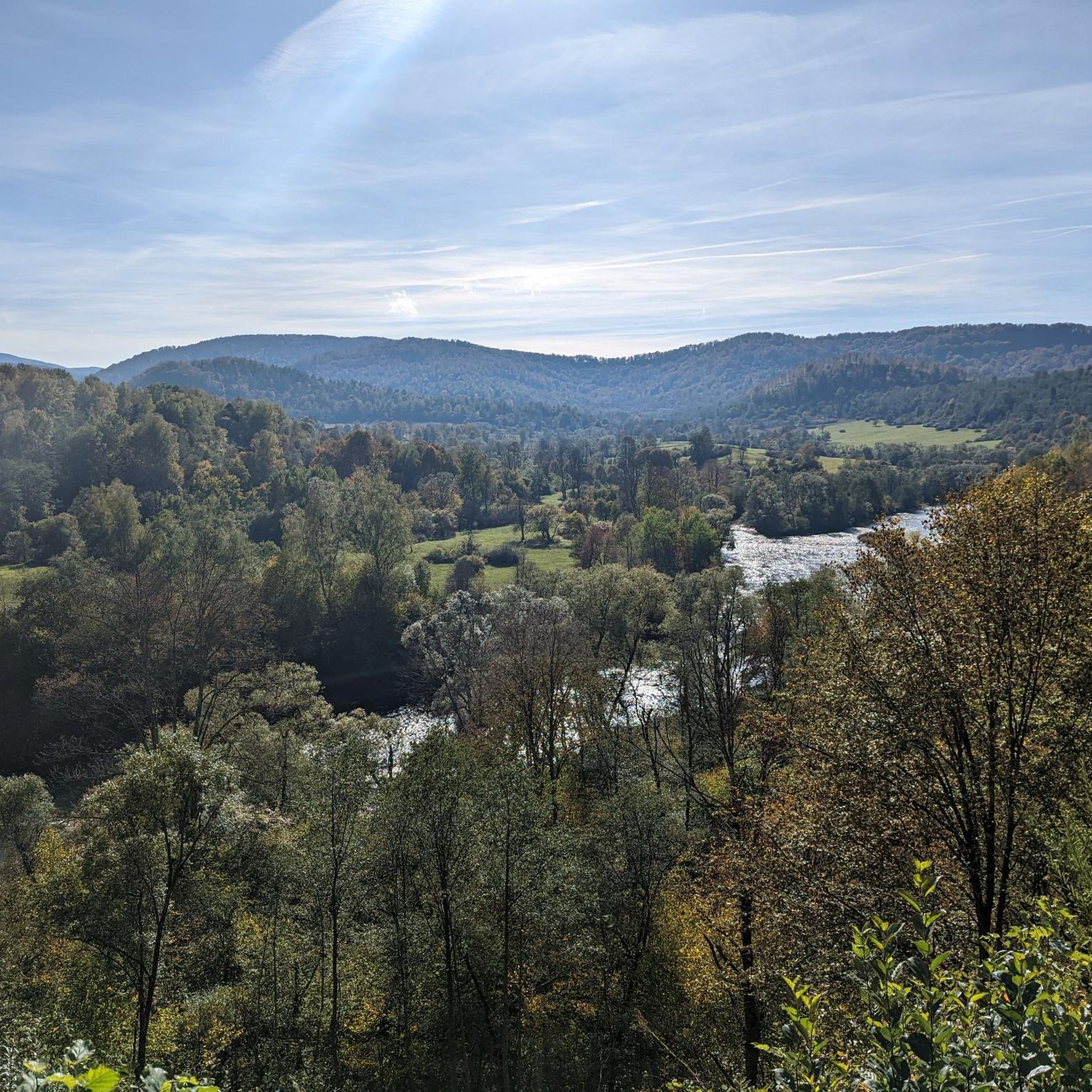
A wonderful, scenic place to rest. There are benches, tables and a designated large fireplace area. But the best part is the view. You can see Połonina Wetlińska beautifully from here.
2
0
A monument in the form of a boulder with a plaque standing on the border of the Hulskie reserve. It is dedicated to the memory of prof. Stefan Myczkowski, a pioneer of Polish ecology. The monument was erected in 2014.
1
0
Frequently Asked Questions
How many touring cycling routes are available in gmina Czarna?
There are over 150 touring cycling routes in gmina Czarna, offering a wide range of options for different skill levels and preferences. The komoot community has explored more than 2,500 of these routes.
What kind of terrain can I expect on touring cycling routes in gmina Czarna?
The routes in gmina Czarna traverse a diverse landscape, characterized by picturesque river valleys, forested hills, and sections of the Otryt Range. You'll encounter varied terrain, including both open stretches and wooded paths, with elevations that feature significant climbs, especially along the Wołosate and San Rivers.
Are there touring cycling routes suitable for beginners or families in gmina Czarna?
Yes, gmina Czarna offers 11 easy touring cycling routes. While specific family-friendly routes are not highlighted, these easier options generally feature less challenging gradients and shorter distances, making them more accessible for those new to touring cycling or cycling with children.
What are some challenging touring cycling routes for experienced cyclists in gmina Czarna?
For experienced cyclists seeking a challenge, gmina Czarna has 81 difficult routes. One such demanding route is the Blue Avenue – Church of Chmiel loop from Lutowiska, which spans over 106 km and includes significant elevation changes.
Are there any circular touring cycling routes in gmina Czarna?
Yes, many touring cycling routes in gmina Czarna are designed as loops. For example, the Ustrzyki Dolne – View of Volkowyja and Solinka loop from Sakowczyk offers extensive views and returns to its starting point. Another option is the Viewpoint Over the San River – Church of Chmiel loop from Lutowiska.
What are the best times of year for touring cycling in gmina Czarna?
The best times for touring cycling in gmina Czarna are typically spring, summer, and early autumn. During these seasons, the weather is generally more favorable, and the natural scenery, from lush river valleys to forested hills, is at its most vibrant. Winter cycling can be challenging due to snow and ice, especially in higher elevations.
What can I see along the touring cycling routes in gmina Czarna?
Along the routes, you can enjoy scenic views of river valleys and the Otryt Range. There are also several natural monuments and viewpoints to explore, such as Jeleni Skok Viewpoint and Orłowicz Pass. You might also encounter various mountain huts like Pooh Mountain Hut.
Are there any notable landmarks or points of interest near the cycling routes?
Yes, beyond the natural beauty, you can find several points of interest. Peaks like Smerek and Łopiennik Peak (1,069 m) offer impressive views. The region also features various mountain huts, including the PTTK Jaworzec Mountain Hut, which can serve as resting points.
What do other touring cyclists enjoy most about cycling in gmina Czarna?
The touring cycling routes in gmina Czarna are highly rated by the komoot community, with an average score of 4.6 stars from over 370 reviews. Cyclists often praise the varied terrain, the extensive views across areas like Volkowyja and Solinka, and the challenging climbs, particularly on routes that follow the Wołosate River and ascend to places like Wyżna Pass.
Where can I find parking for touring cycling routes in gmina Czarna?
While specific parking locations are not detailed for every route, many touring cycling routes in gmina Czarna, especially those starting from villages or towns like Sakowczyk, Olchowiec, or Lutowiska, typically have designated parking areas or roadside spots suitable for cyclists. It's advisable to check local signage upon arrival.
Are there any routes that follow rivers or offer water views?
Yes, many routes in gmina Czarna are characterized by river valleys. The Route Along the Wołosate River – Wyżna Pass loop from Sakowczyk is a prime example, offering scenic views as it follows the Wołosate River. The region's landscape is also shaped by the San River, providing opportunities for water views on various sections.
Most popular routes around gmina Czarna
Most popular attractions around gmina Czarna

Get inspired with the komoot mobile app


Explore more
Browse the best Cycling routes in other regions.
