The best walks and hikes around gmina Chełm Śląski
4.5
(172)
2,428
hikers
123
hikes
Hiking around gmina Chełm Śląski offers diverse landscapes at the intersection of the Silesian Upland and the Oświęcim Basin. The region features the Dziećkowice Reservoir, a clean water body suitable for water sports and surrounded by picturesque routes. Varied terrain includes hills like Smutna Góra, reaching approximately 284 meters, and the unique Natura 2000 area in Osada Błędów, a post-mining subsidence area with marsh vegetation. The natural beauty is further enhanced by the Przemsza River Valley and sections of the…
Last updated: October 13, 2026
4.8
(10)
118
hikers
Moderate hike. Good fitness required. Easily-accessible paths. Suitable for all skill levels.
4.8
(10)
121
hikers
Moderate hike. Good fitness required. Easily-accessible paths. Suitable for all skill levels.

4.5
(4)
60
hikers
6.66km
01:42
20m
20m
Easy hike. Great for any fitness level. Easily-accessible paths. Suitable for all skill levels.
39
hikers
Easy hike. Great for any fitness level. Easily-accessible paths. Suitable for all skill levels.
4.0
(2)
57
hikers
7.07km
01:48
20m
20m
Easy hike. Great for any fitness level. Easily-accessible paths. Suitable for all skill levels.
Get access to more routes and recommendations from other explorers.
Already have an account?
Our route recommendations are based on thousands of hikes, rides, and runs completed by other people on komoot.
Start today with a free account
Your next adventure awaits.
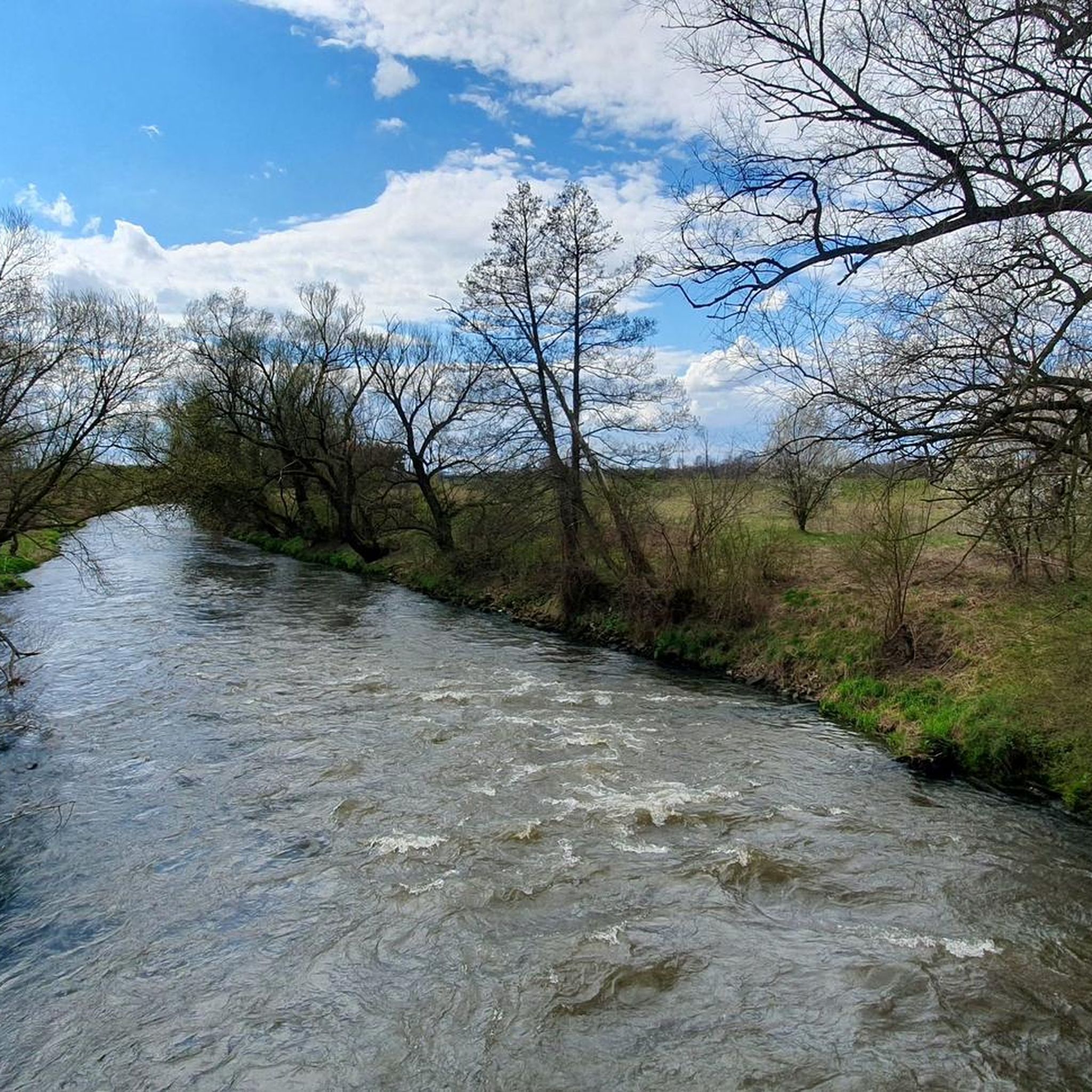
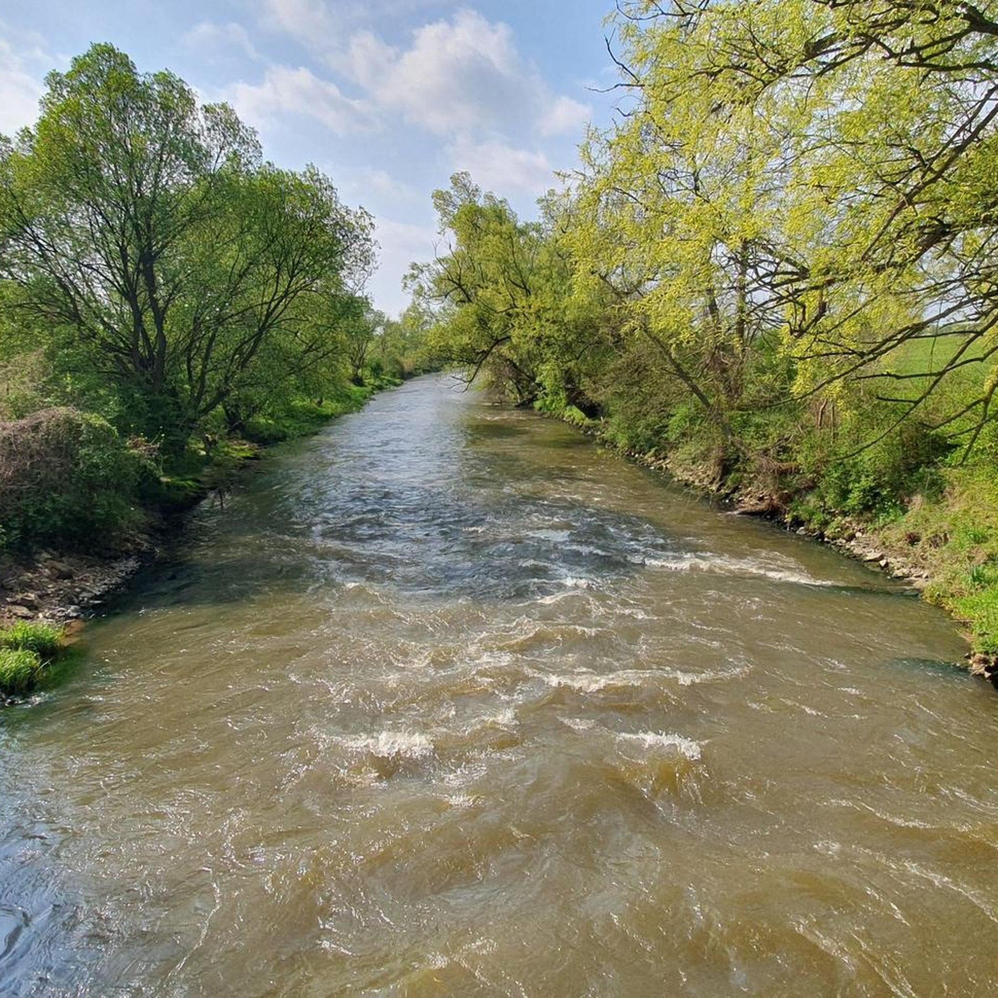
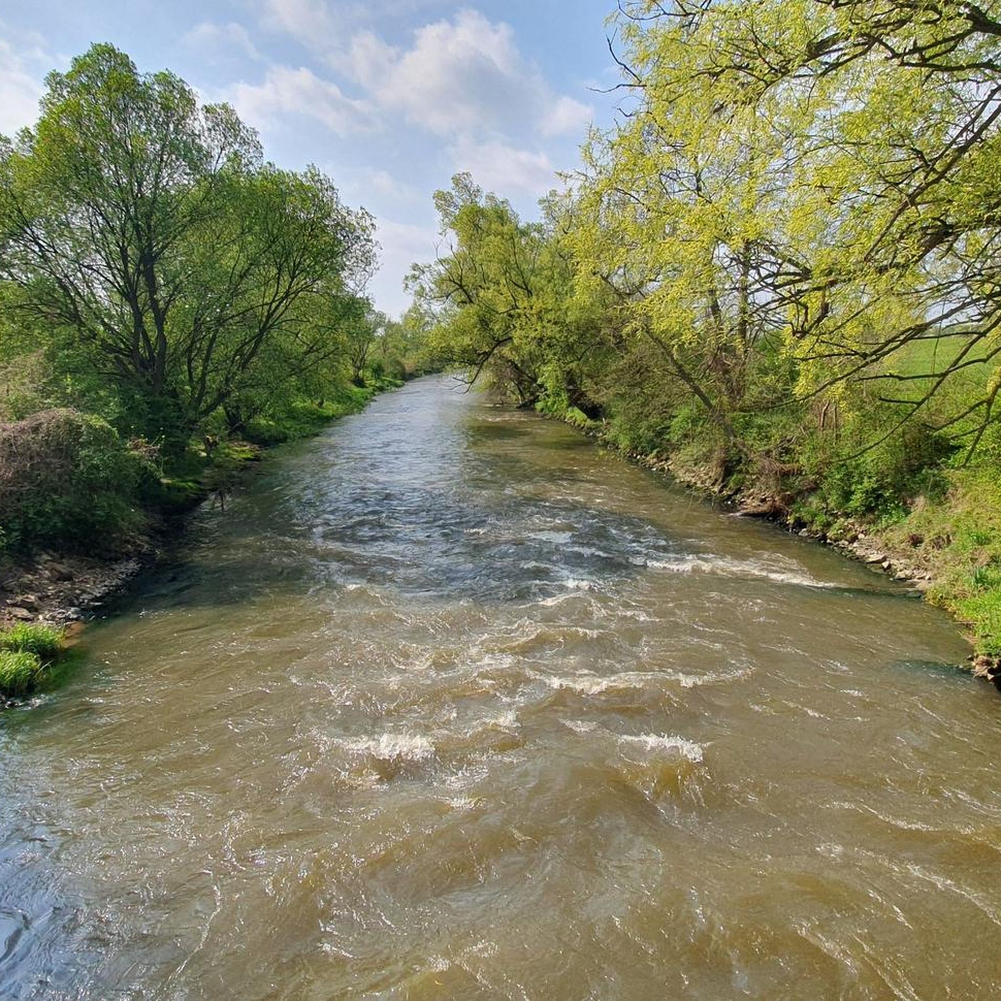
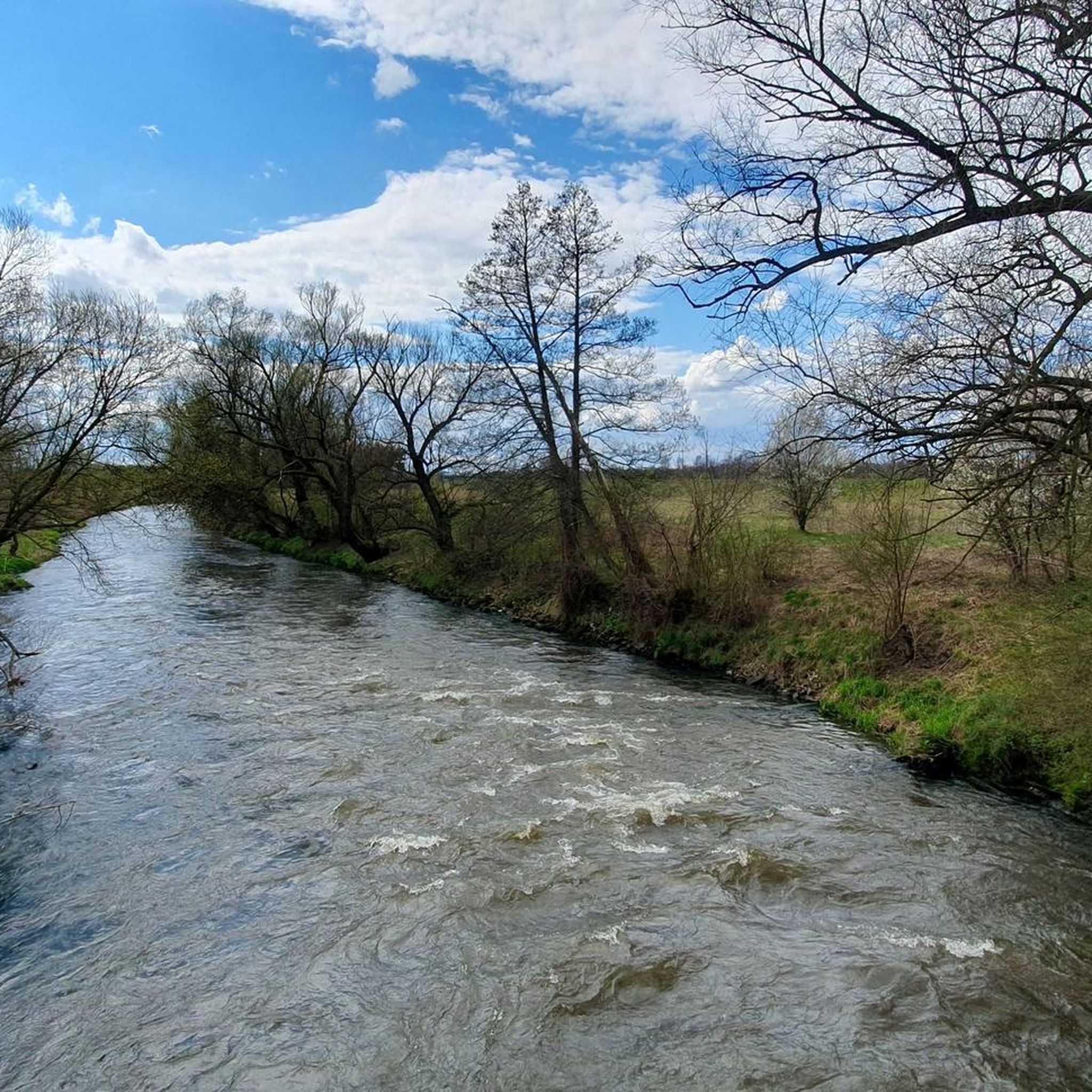

Tips from the Community

The path around the reservoir is mostly paved with concrete slabs, so it's not a cyclist's dream... Fortunately, large sections are laid in such a way that there is a strip of bare earth/sand between the slabs in the middle, so you can stubbornly ride there, avoiding the slabs.
0
0

Let's agree that these are local almost cliffs 😉
0
0

Dziećkowice Reservoir (Imieliński Reservoir) - a post-mining reservoir located between Mysłowice and Oświęcim, next to Imielin. It is located right on the border of the Śląskie and Małopolskie voivodships, it was built in 1985. The dam is 7 meters high, the maximum depth is 12 meters, and its area is 7.3 km², while the total capacity is 52.8 million m³, the average width is about 1.8 kilometers, the length of the reservoir is 4.3 kilometers. This reservoir was created in the mid-1970s, in an excavation that is a remnant of the former sand exploitation area, and was used in mining for backfilling purposes, for the Maczki-Bór mine in Sosnowiec. The mine was extracting sand to fill the mine workings. Earlier in this area there was a forest with many ponds and very clean spring water - the so-called riparian forest. It is powered mainly by water, discharged from the distant system of the Skawa - Soła rivers. It is one of the cleanest reservoirs in the Silesia Province and serves as a drinking water reservoir. https://polskie-jeziora.pl/jezioro-dzieckowice https://www.youtube.com/watch?v=mg5iFl15AcE
2
0
Frequently Asked Questions
How many hiking trails are available in gmina Chełm Śląski?
There are over 80 hiking routes in gmina Chełm Śląski, catering to various preferences and fitness levels. The komoot community has explored these trails over 1300 times, providing an average rating of 4.4 stars.
Are there easy hiking trails suitable for beginners or families in gmina Chełm Śląski?
Yes, gmina Chełm Śląski offers many easy trails. Out of the 83 available routes, 66 are classified as easy. For instance, the Selection Site After Arrival loop from Auschwitz II-Birkenau is an easy option, covering about 2.8 km.
What kind of natural features can I expect to see while hiking in gmina Chełm Śląski?
The region is rich in natural beauty, featuring the expansive Dziećkowice Reservoir, varied hills like Smutna Góra, and the unique Natura 2000 area in Osada Błędów, which is a protected transitional peat bog. You can also explore the Przemsza River Valley and sections of the Vistula embankments, known for lush greenery and wildlife.
Are there any circular hiking routes around the Dziećkowice Reservoir?
Yes, the Dziećkowice Reservoir is a central feature for hikers, offering picturesque circular routes. A popular moderate option is the View of Dziećkowice Reservoir loop from Jeleń, which covers approximately 14 km and circles the reservoir.
Are there any trails that feature waterfalls or unique water elements?
Yes, you can find routes that include interesting water features. For a more challenging hike, consider the A small waterfall on the Milk River – Bus shelter no. 3 loop from Bieruń, which is a 21.2 km trail leading through varied terrain and includes a small waterfall.
What are some notable landmarks or points of interest to explore near the hiking trails?
Beyond the trails, you can discover several natural highlights. The Tadeusz Oak Natural Monument and the Bielnik Ponds are worth visiting. The Confluence of the Vistula and Soła rivers also offers a scenic spot.
Are there any challenging hiking routes for experienced hikers?
While most trails are easy or moderate, there is at least one difficult route for those seeking a greater challenge. The A small waterfall on the Milk River – Bus shelter no. 3 loop from Bieruń is classified as difficult, covering over 21 km.
What do other hikers enjoy most about the trails in gmina Chełm Śląski?
The komoot community highly rates the trails in gmina Chełm Śląski, with an average score of 4.4 stars. Hikers often praise the diverse landscapes, particularly the scenic routes around the Dziećkowice Reservoir, and the peaceful natural environment of areas like the Natura 2000 site.
Can I find trails suitable for a quick walk, or are they all long excursions?
You can find trails for various durations. Many of the 83 routes are shorter and suitable for quick walks. For example, the Birkenau Entrance Gate loop from Auschwitz II-Birkenau is an easy 2.6 km path, ideal for a shorter outing.
Are there specific areas for nature observation, especially for wildlife?
Yes, the Natura 2000 area in Osada Błędów is a unique post-mining subsidence area that has transformed into a transitional peat bog, providing a habitat for diverse marsh vegetation, swamp forests, and a haven for dragonflies and other wildlife. Sections of the Vistula embankments also offer opportunities to spot pheasants, hares, and deer.
What is the best time of year to go hiking in gmina Chełm Śląski?
Gmina Chełm Śląski offers enjoyable hiking experiences throughout the year due to its varied terrain. Spring and autumn provide pleasant temperatures and vibrant scenery, while summer is ideal for enjoying the Dziećkowice Reservoir. Even in winter, some trails can be explored, though conditions may vary.
Are there any trails that offer good viewpoints of the region?
Many trails provide scenic views, especially those around the Dziećkowice Reservoir. The varied terrain, including hills like Smutna Góra, contributes to interesting vistas across the landscape. The Chelmeczki Mountain highlight also suggests elevated points for views.
Most popular routes around gmina Chełm Śląski
Most popular attractions around gmina Chełm Śląski

Get inspired with the komoot mobile app


Explore more
Browse the best Hikes in other regions.
