The best walks and hikes around Brenna
4.7
(4357)
71,261
hikers
181
hikes
Hiking around Brenna, situated within the Silesian Beskids mountain range, offers diverse landscapes characterized by lush hills, dense forests, and flowing rivers. The region features a mountainous terrain with elevations reaching significant peaks like Skrzyczne (1,257 m). Trails range from gentle paths along river valleys to challenging ascents through the Silesian Beskids Landscape Park. This area provides varied terrain for hikers of all experience levels.
Best hiking trails around Brenna
- The most popular hiking route is Grabowa and Trzy Kopce Wiślańskie Loop, a 9.3 miles (14.9 km) trail that takes 4 hours 44 minutes to complete. This moderate route offers panoramic views and passes unique boundary stones within the Silesian Beskids.
- Another top favourite among local hikers is Malinowska Rock – Skrzyczne Peak (1,257 m) loop from Silesian Beskids Landscape Park, a difficult 13.9 miles (22.4 km) path. This is a challenging hike through the mountainous terrain of the Silesian Beskids.
- Local hikers also love the Malinowska Rock – Skrzyczne Mountain Hut loop from Silesian Beskids Landscape Park, a 10.6 miles (17.0 km) trail leading through the Silesian Beskids Landscape Park, often completed in about 5 hours 11 minutes.
- Hiking around Brenna is defined by the Silesian Beskids mountains, lush forests, and varied terrain. The network offers options for different ability levels, from easy walks to demanding mountain climbs.
- The routes in Brenna are highly rated by the komoot community with an average score of 4.7 stars from over 900 reviews. More than 15,000 hikers have used komoot to explore Brenna's varied terrain.
Last updated: October 10, 2026
4.7
(39)
365
hikers
14.9km
04:44
590m
590m
Moderate hike. Good fitness required. Easily-accessible paths. Suitable for all skill levels.
4.8
(109)
1,746
hikers
22.4km
07:29
1,090m
1,090m
Hard hike. Very good fitness required. Easily-accessible paths. Suitable for all skill levels.

4.9
(68)
1,143
hikers
Hard hike. Very good fitness required. Easily-accessible paths. Suitable for all skill levels.
4.8
(67)
1,138
hikers
Moderate hike. Good fitness required. Easily-accessible paths. Suitable for all skill levels.
4.8
(54)
845
hikers
Moderate hike. Good fitness required. Easily-accessible paths. Suitable for all skill levels.
Get access to more routes and recommendations from other explorers.
Already have an account?
Our route recommendations are based on thousands of hikes, rides, and runs completed by other people on komoot.
Start today with a free account
Your next adventure awaits.
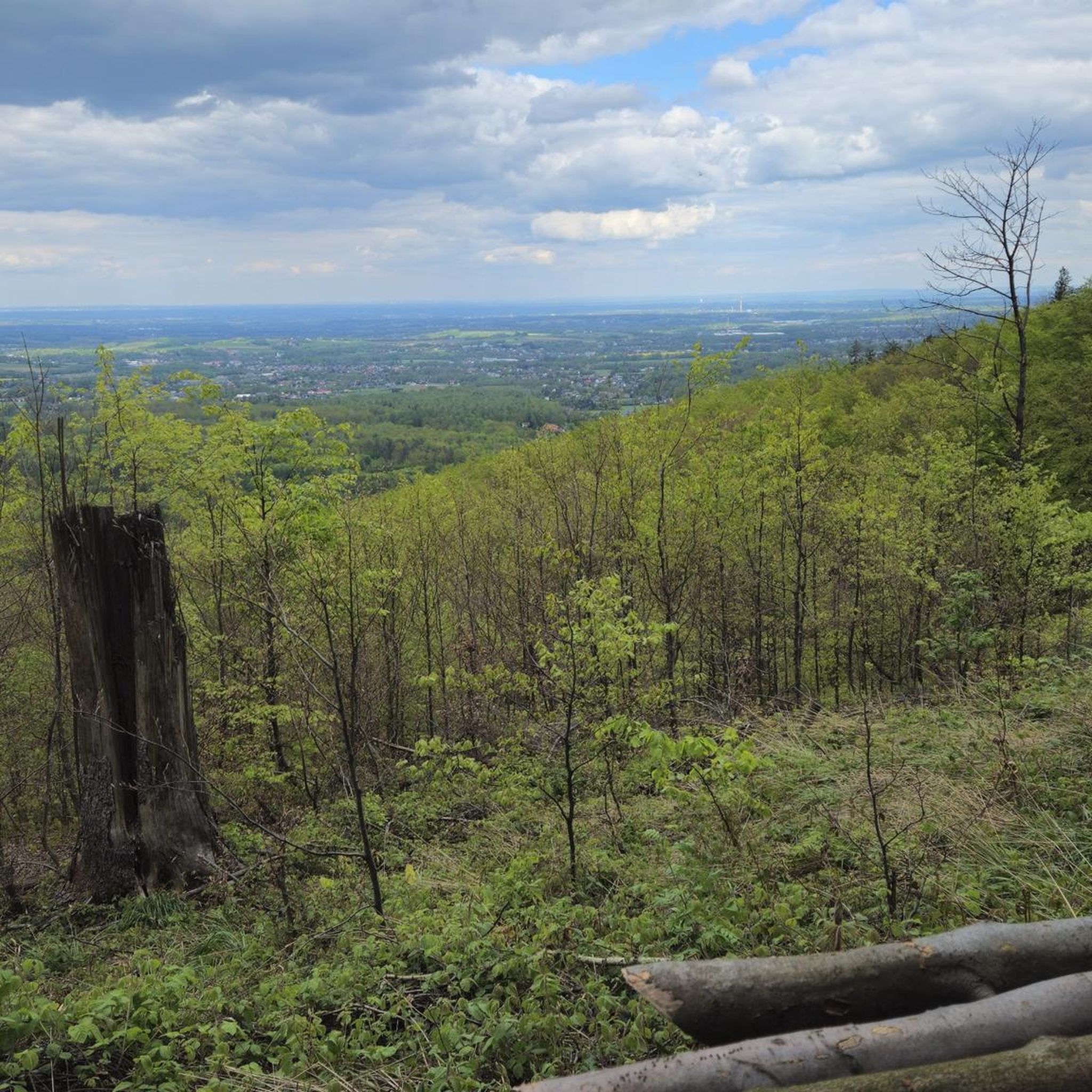
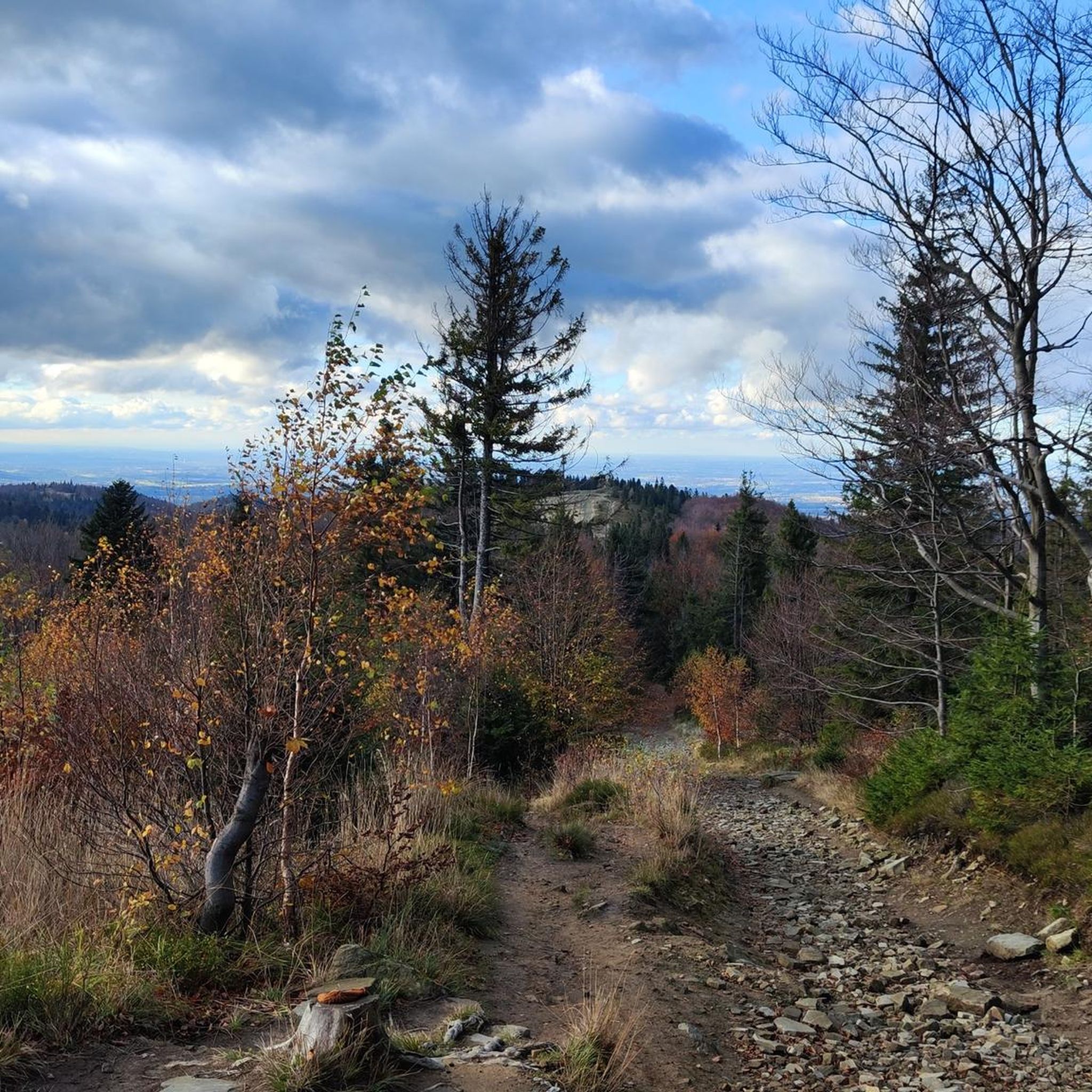
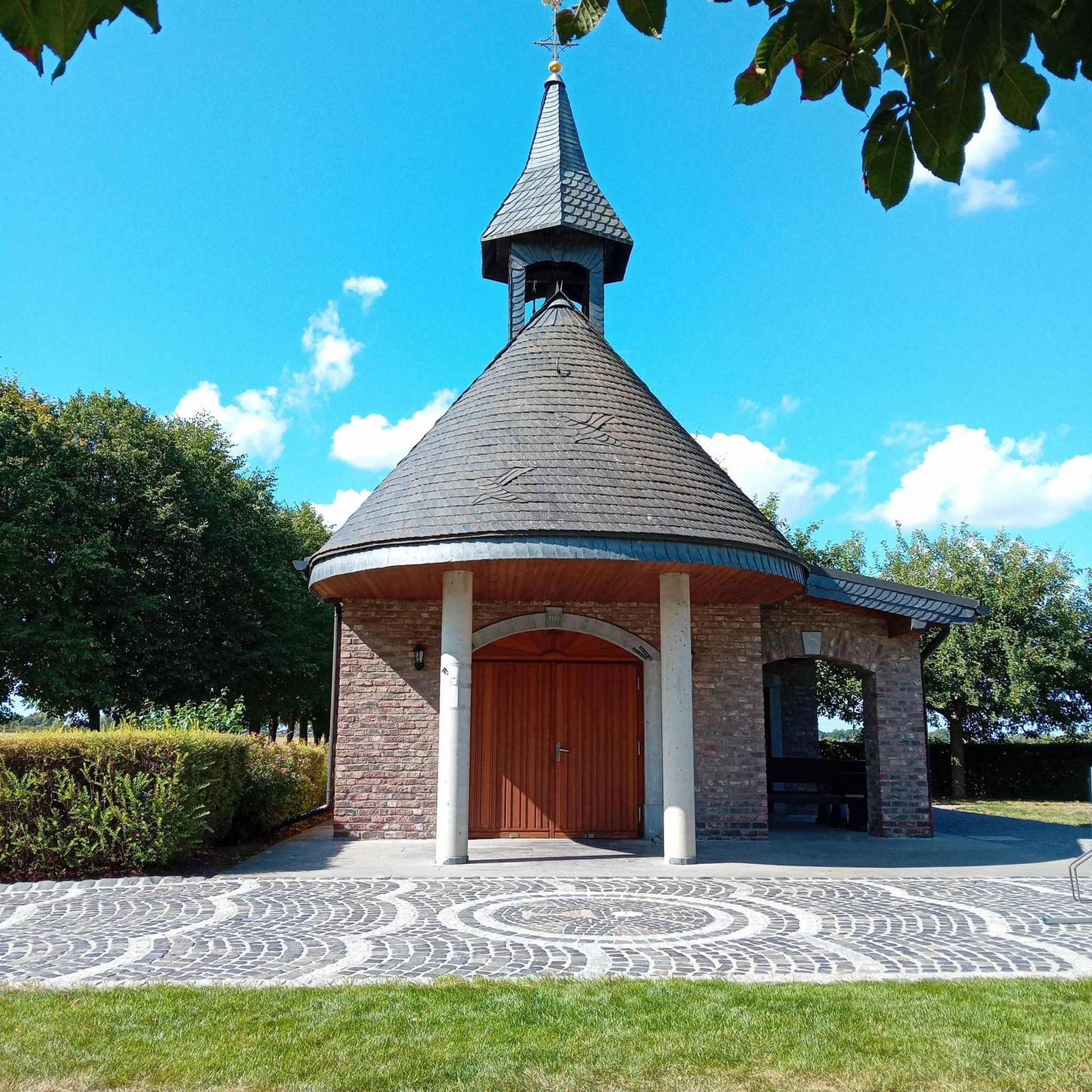

Tips from the Community

Paid parking and you can go everywhere on foot. e.g. Malinowska Skała, Hala Jaworowa
0
0
Must-have place in Beskid Śląski, a mandatory pilgrimage
0
0

Skrzyczne is Skrzyczne, the views speak for themselves. It can be easily reached by bike from Dolina Zimnika, only a short section at the end requires pushing up a steep hiking trail.
0
0
A quite busy place in the summer season, but much fewer people during the week.
0
0
In good weather, you can see the Tatra Mountains from below the shelter. The summit itself has no views. It is best to cycle up the red trail from Dębowiec.
0
0
Junction of trails, coming from Błatnia, a turn is possible towards Jaworze or a steep descent into the Wapienica Valley. Continuing straight ahead, we will reach the areas of Kopane and Palenica.
1
0
The ascent through Szyndzielnia is pleasant, with a consistently moderate, not too steep gradient, except for a few steeper sections before the summit of Szyndzielnia. Only after the shelter do you need to push the bike for a short distance, then the route becomes pleasant and wide again towards Klimczok, where, near the summit, pushing the bike might be necessary depending on your strength. At the summit, there is a large meadow, and a little lower down, the shelter. In good weather, you can see the Tatry mountains from the summit.
1
0

Iconic place in the Silesian Beskids, beautiful panoramas, easy trail for everyone.
2
0
Frequently Asked Questions
How many hiking trails are available in Brenna?
Brenna offers a wide variety of hiking experiences with over 160 trails. This includes 36 easy routes, 107 moderate paths, and 24 more challenging hikes, catering to all fitness levels.
What kind of terrain can I expect on hikes around Brenna?
The terrain in Brenna is diverse, characterized by the lush hills and dense forests of the Silesian Beskids mountain range. You'll find everything from gentle paths along river valleys, such as the Hołcyna River, to challenging ascents through mountainous areas. The region offers serene winter landscapes and vibrant green scenery in warmer months.
Are there any easy or family-friendly hiking options in Brenna?
Yes, Brenna has 36 easy routes suitable for families or those looking for a relaxed walk. These paths are generally accessible and offer a pleasant way to experience the region's natural beauty without strenuous climbs. The area's varied terrain ensures there are options for all ages and fitness levels.
What are some notable natural attractions or viewpoints to see while hiking in Brenna?
While hiking in Brenna, you can discover several natural attractions and viewpoints. The region is known for its lush forests and rivers, including tranquil waterfalls along the Hołcyna River. For panoramic views, consider visiting Skrzyczne Peak (1,257 m) or Malinowska Rock. The Viewing tower on Barania Góra also offers expansive vistas.
Are there any circular hiking routes in Brenna?
Yes, Brenna offers several excellent circular routes. A popular moderate option is the Grabowa and Trzy Kopce Wiślańskie Loop, which provides panoramic views and passes unique boundary stones. For a more challenging circular hike, consider the Malinowska Rock – Skrzyczne Peak (1,257 m) loop from Silesian Beskids Landscape Park.
What do other hikers enjoy most about the trails in Brenna?
The trails in Brenna are highly rated by the komoot community, with an average score of 4.7 stars from over 900 reviews. Hikers frequently praise the diverse landscapes, from lush hills and dense forests to the challenging mountainous terrain of the Silesian Beskids. The well-marked paths and varied difficulty levels also contribute to a positive experience for over 15,000 visitors.
Are there any trails that lead to mountain huts in Brenna?
Yes, you can find trails that lead to mountain huts, offering a place to rest or refuel. One such route is the Malinowska Rock – Skrzyczne Mountain Hut loop from Silesian Beskids Landscape Park. Another option is the PTTK mountain hut on Błatnia – Mount Błatnia loop from gmina Brenna, which is a moderate hike.
What is the best time of year to go hiking in Brenna?
Brenna offers hiking opportunities year-round. During warmer months, the lush hills and forests are vibrant and ideal for exploring. In winter, the Silesian Beskids transform into a serene landscape with snow-covered trees, offering a peaceful atmosphere for winter hikes. The choice depends on your preferred scenery and hiking conditions.
Are there any trails with significant elevation gain for experienced hikers?
Yes, Brenna, situated in the Silesian Beskids, offers challenging routes with significant elevation gain. Trails like the Malinowska Rock – Skrzyczne Peak (1,257 m) loop from Silesian Beskids Landscape Park are classified as difficult, requiring good fitness and sure-footedness due to their mountainous terrain and substantial ascents.
Are there any mountain passes I can explore near Brenna?
Yes, the region around Brenna features several mountain passes that are often part of hiking routes. A notable one is Salmopolska Pass. You can explore routes that incorporate these passes, such as the Malinowska Rock – Salmopolska Pass loop from Silesian Beskids Landscape Park, which offers moderate terrain.
Most popular routes around Brenna
Most popular attractions around Brenna

Get inspired with the komoot mobile app


Explore more
Browse the best Hikes in other regions.
