The best walks and hikes around gmina Czernichów
4.8
(396)
7,257
hikers
46
hikes
Hiking around gmina Czernichów, located southwest of Kraków on the Vistula River, offers diverse landscapes for outdoor activities. The region features limestone outcrops and forested hills, providing varied terrain. It is situated within or borders protected areas such as the Bielany-Tyniec Landscape Park and Rudawy Landscape Park, and includes nature reserves like Kajasówka.
Best hiking trails around gmina Czernichów
- The most popular hiking route is Loop Międzybrodzie Żywieckie - Żar - Isepnicka Pass (along the black and green trails): Beskid…
Last updated: June 28, 2026
4.6
(19)
242
hikers
Moderate hike. Good fitness required. Easily-accessible paths. Suitable for all skill levels.
3.9
(9)
81
hikers
8.96km
03:21
600m
600m
Moderate hike. Good fitness required. Easily-accessible paths. Suitable for all skill levels.

Sign up for free
4.5
(11)
217
hikers
12.1km
04:12
640m
640m
Moderate hike. Good fitness required. Easily-accessible paths. Suitable for all skill levels.
4.7
(13)
233
hikers
9.34km
02:48
310m
310m
Moderate hike. Good fitness required. Easily-accessible paths. Suitable for all skill levels.
4.6
(16)
190
hikers
16.6km
05:34
790m
790m
Hard hike. Very good fitness required. Easily-accessible paths. Suitable for all skill levels.
Get access to more routes and recommendations from other explorers.
Sign up for free
Already have an account?
Our route recommendations are based on thousands of hikes, rides, and runs completed by other people on komoot.
Start today with a free account
Your next adventure awaits.
Login or Signup


Tips from the Community

Mandatory place to rest and replenish drinks. You can get hot meals and cold drinks.
0
0

At the top, there's a toboggan run. A great attraction for adults and children alike. Cost: 15 PLN.
1
0

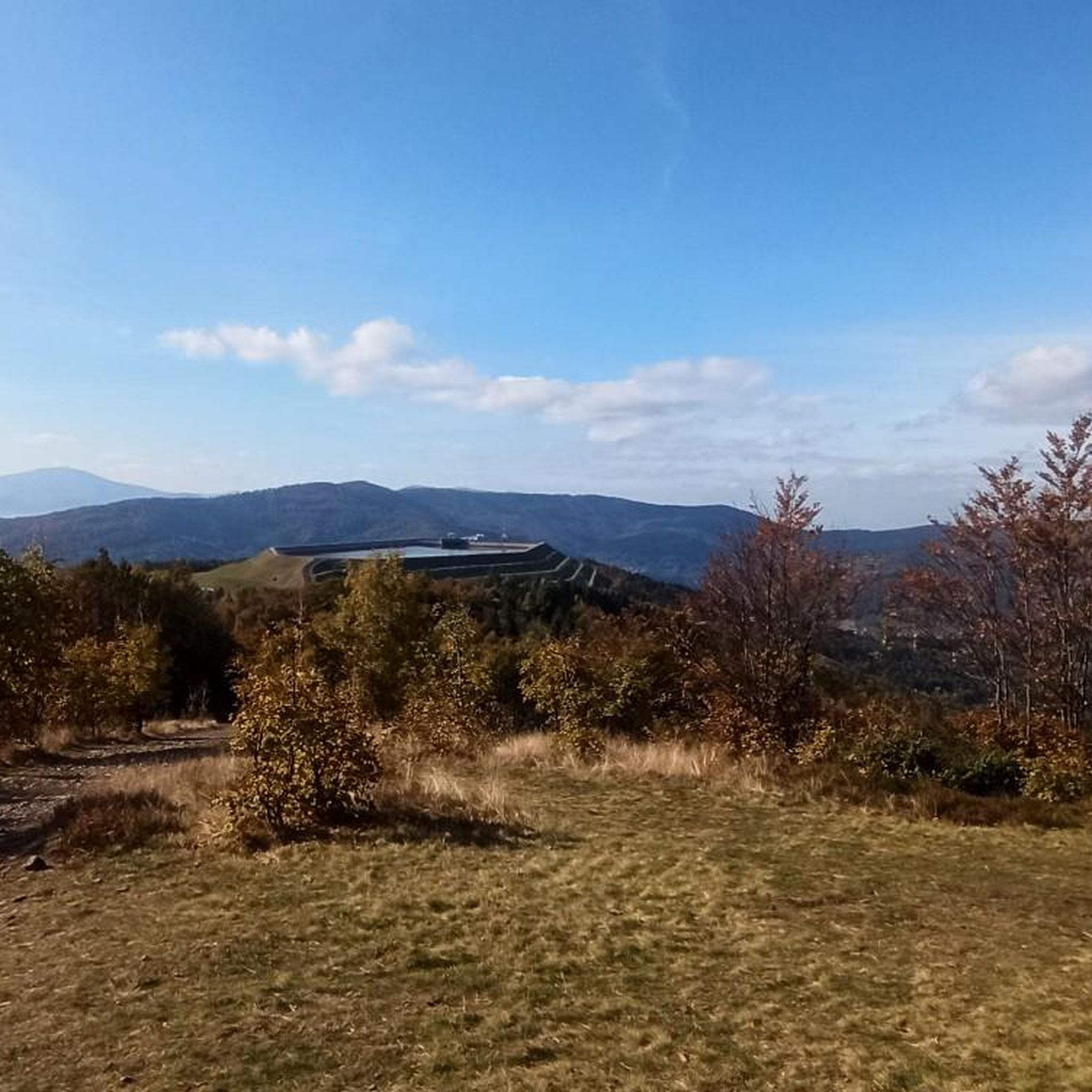
Beautiful views of the dam and the entire lake.
0
0

There are several food and drink options on site. Unfortunately, everything was closed in the evening, including the restrooms, making it difficult to get water. However, the views are spectacular.
0
0

There's nothing more beautiful in BM than Żar Mountain. Come see it, the views are amazing.
0
0

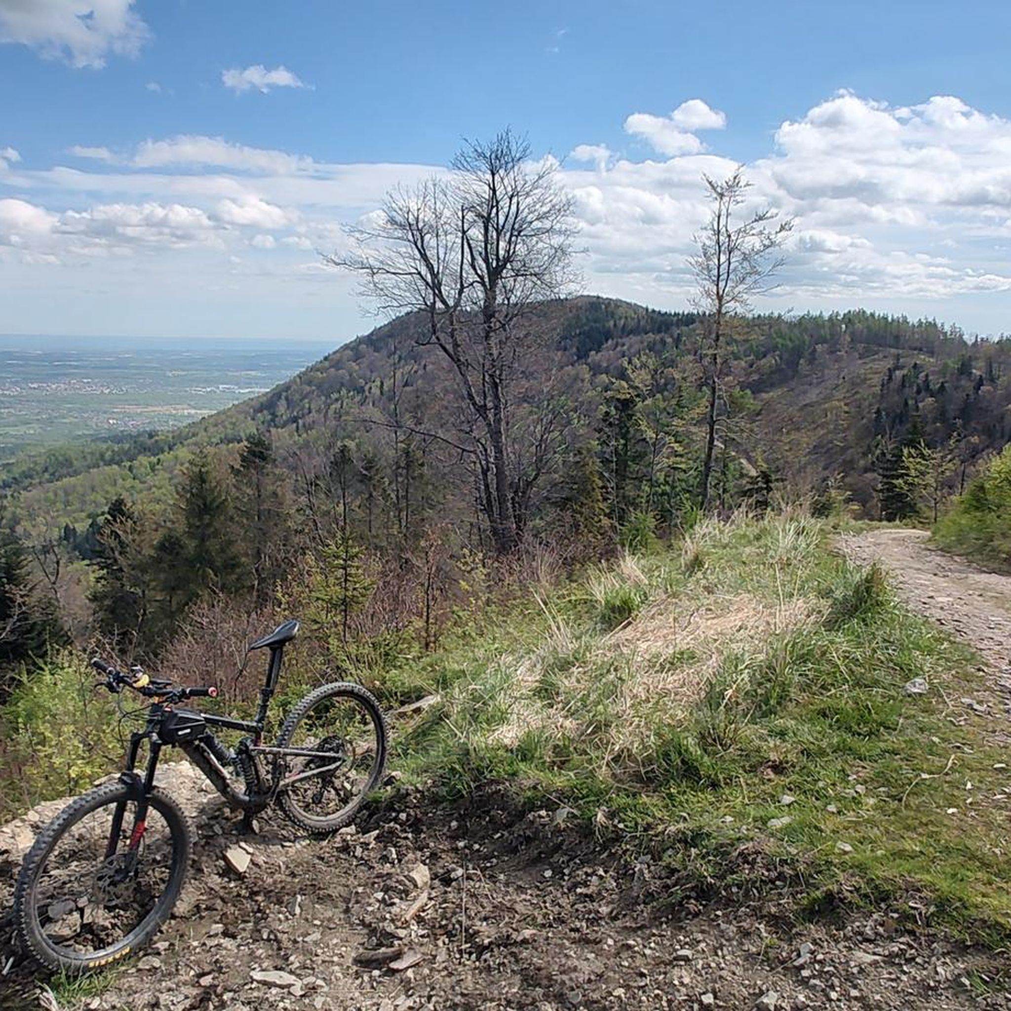
This view will blow you away - not far from Rogacz Mountain, here from this path there is a brilliant view of Lake Międzybrodzkie below through the green hills. You can also see, of course, Międzybrodzie Białe and the surrounding towns below, and the panorama of the hills and mountains is fantastic.
0
0
Beautiful view from the glade, just after leaving Turystyczna Street in Czernichów. Beautiful green mountain views, before - presumably - you start climbing Czupel.
0
0
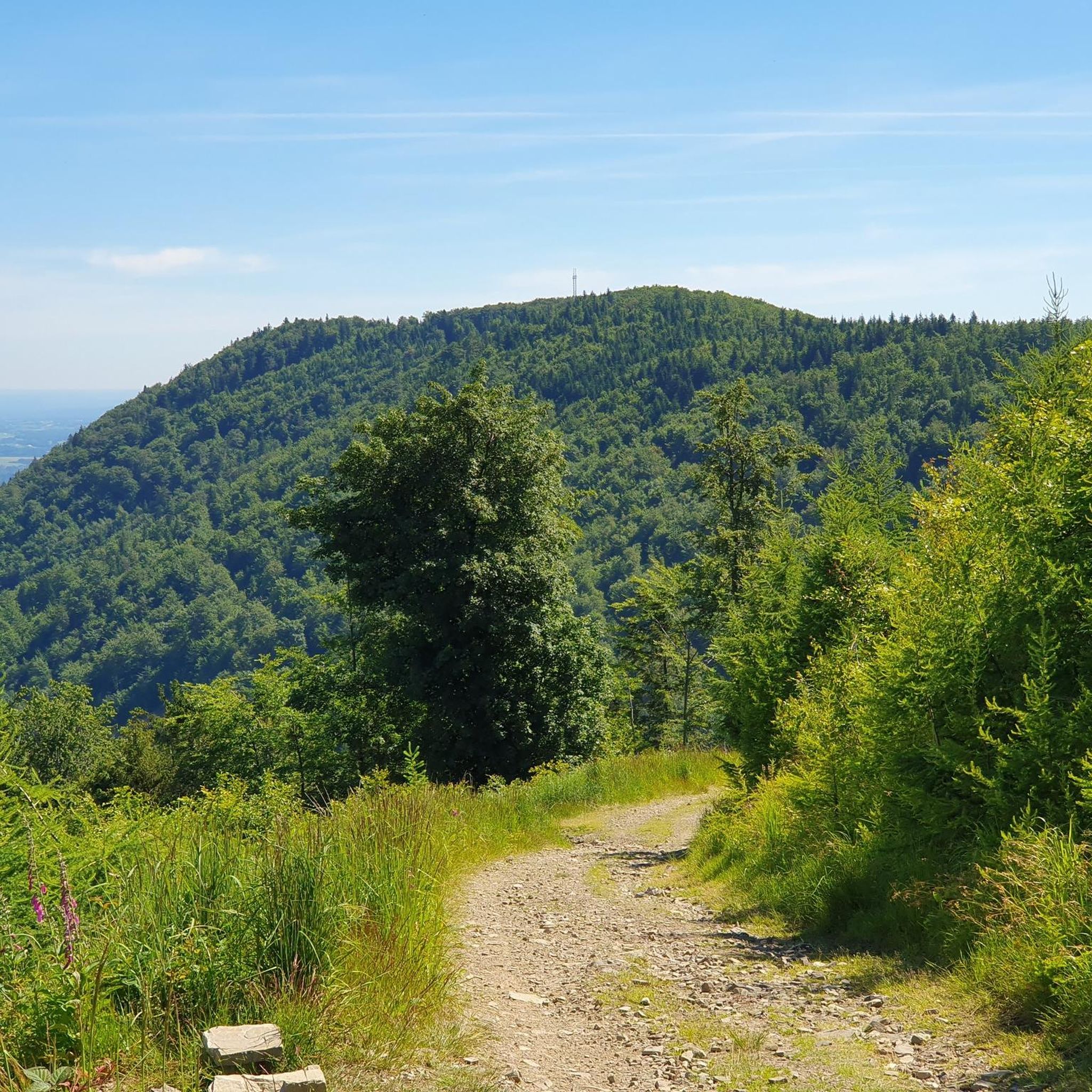
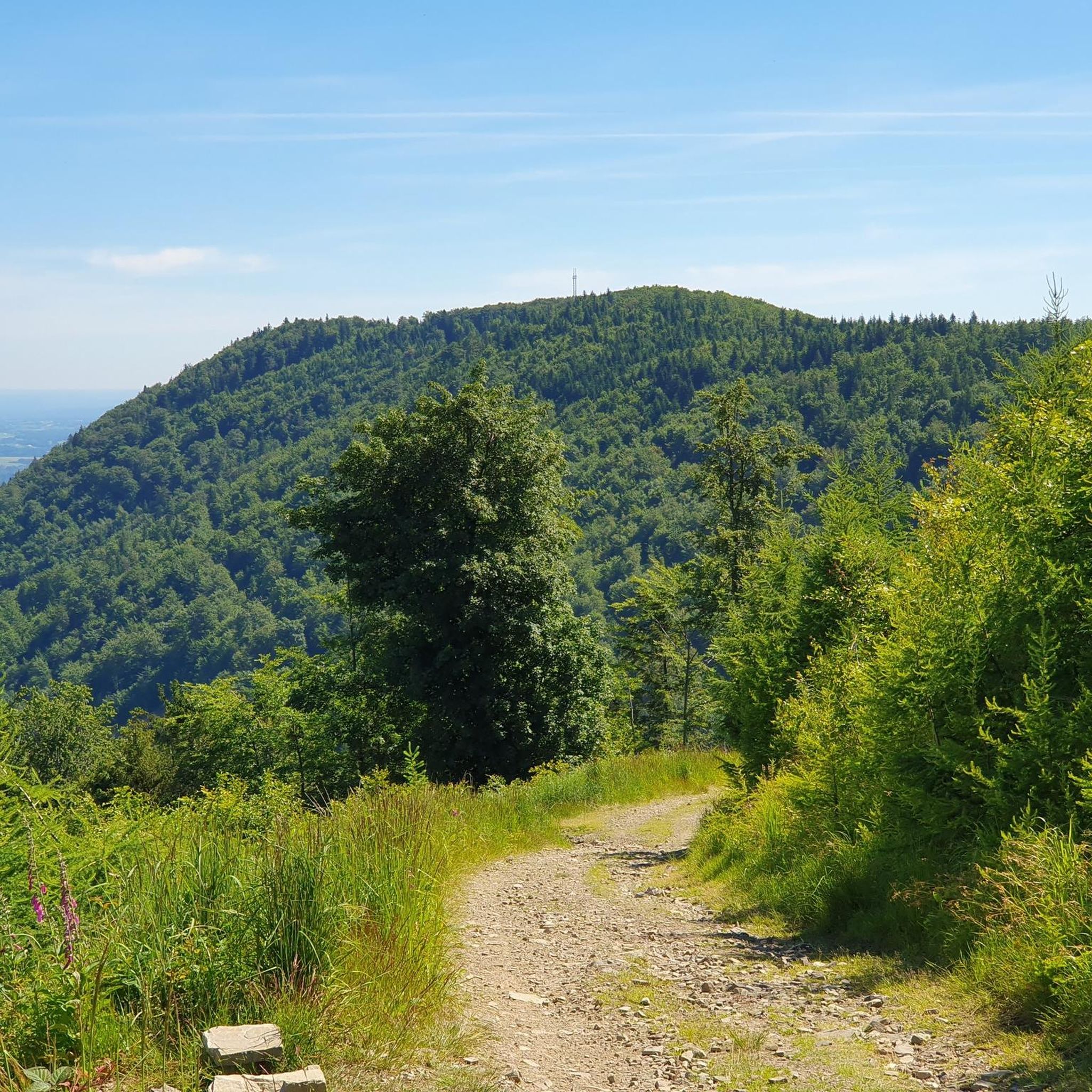
It is the highest peak of the Beskid Mały, at 931m. Although the entire Czupel ridge is covered with forest, there will be views, especially of Góra Żar, with the power plant building at the top, but not from the very top, only a few dozen meters from it.
0
0
Frequently Asked Questions
How many hiking trails are available in gmina Czernichów?
Gmina Czernichów offers a comprehensive network of over 40 marked trails for hiking, cycling, and horseback riding. These routes cater to various experiences, from easy walks to more demanding ascents.
Are there easy hiking trails suitable for beginners or families in gmina Czernichów?
Yes, gmina Czernichów has several easy hiking options. The region features didactic trails, such as those in the Kajasówka Nature Reserve, which are excellent for all fitness levels and families. The Zimny Dół Reserve and Mnikowska Valley Reserve also offer easy paths within the Tenczynski Landscape Park.
What kind of natural features and landscapes can I expect to see while hiking?
The hiking trails in gmina Czernichów showcase diverse landscapes, including forested hills, significant limestone outcrops, and paths along the Vistula River. You'll also encounter protected areas like the Bielany-Tyniec Landscape Park and Rudawy Landscape Park, and nature reserves such as Kajasówka.
Are there any circular hiking routes in the area?
Yes, there are several circular routes. For example, you can explore the Czupel Peak (933 m) – View of Czupel Summit Cairns loop from gmina Czernichów, which is a moderate 14.2 km trail leading through varied terrain. Another option is the Mount Żar - Upper Station – View from Mount Żar loop from Beskid Mały, offering views from Mount Żar.
What are some notable landmarks or viewpoints along the trails?
Hikers can discover several interesting points. The area is close to the Beskid Mały range, offering access to peaks like Czupel Peak (933 m) and Góra Żar (765 m), both providing panoramic views. You might also encounter the Potrójna viewpoint or the Cross on Chrobacza Łąka.
Is gmina Czernichów suitable for dog-friendly hikes?
Many trails in gmina Czernichów are suitable for hiking with dogs, especially those through the extensive forest complexes on Chełm mountain and near Rusocice, Przeginia Narodowa, and Duchowna. Always ensure your dog is on a leash and check local regulations for specific nature reserves.
What is the best time of year to go hiking in gmina Czernichów?
The region is enjoyable for hiking throughout much of the year. Spring and autumn offer pleasant temperatures and vibrant scenery, with autumn showcasing beautiful fall foliage. Summer is also popular, though some trails might be busier. Winter hiking is possible, especially on easier routes, but requires appropriate gear.
Are there any challenging routes for experienced hikers?
Yes, for experienced hikers seeking more demanding routes, the proximity to the Beskid Mały range offers options. Trails ascending towards peaks like Czupel, such as the Czupel from Czernichów: Little Beskid Landscape Park, provide significant elevation gain and a good workout.
What do other hikers enjoy most about the trails in gmina Czernichów?
The trails in gmina Czernichów are highly rated by the komoot community, with an average score of 4.8 stars from over 340 reviews. Hikers often praise the varied terrain, the quiet woodlands, and the well-marked paths that lead through scenic protected areas and offer rewarding views.
Are there options for public transport to reach trailheads?
While gmina Czernichów is easily accessible by car from Kraków, public transport options to specific trailheads may vary. It's advisable to check local bus schedules or regional transport services for connections to villages within the gmina, which can serve as starting points for hikes.
Where can I find parking for hiking trails in gmina Czernichów?
Parking is generally available in or near the villages within gmina Czernichów, which often serve as starting points for trails. For routes leading into protected areas or towards popular peaks, designated parking areas are usually provided, though it's always good to check specific trailhead information beforehand.
Can I combine hiking with other activities in the area?
Absolutely. The Vistula River, bordering the gmina, offers opportunities for riverside walks and kayaking. The flood embankments are largely adapted for walking and cycling. Additionally, the
Are there any trails that offer views of the Vistula River?
Yes, the gmina's location on the Vistula River means there are opportunities for riverside walks. The flood embankments along its southern border are largely adapted for walking and cycling, providing scenic views of the river and its surroundings.
What is the typical duration for a moderate hike in gmina Czernichów?
Moderate hikes in gmina Czernichów can vary in duration depending on the specific route and your pace. For instance, the Loop Międzybrodzie Żywieckie - Żar - Isepnicka Pass, a 8.6 km trail, typically takes around 2 hours and 54 minutes to complete.
Most popular routes around gmina Czernichów
Most popular attractions around gmina Czernichów

Get inspired with the komoot mobile app


Explore more
Browse the best Hikes in other regions.
