The best mountain hikes around Łękawica
4.8
(24)
126
hikers
12
hikes
Mountaineering routes around Łękawica are set within the diverse Beskid Mały mountain range in Poland's Silesian Voivodeship. This region is characterized by forested peaks, varied elevation gains, and an extensive network of trails. Notable features include Czupel, the highest peak at 933 meters, and the scenic Międzybrodzkie Lake formed by the historic Porąbka Dam. The terrain offers a mix of challenging ascents and more moderate paths through dense woodlands.
Best mountaineering routes around Łękawica
- The most popular mountaineering route is…
Last updated: July 1, 2026
4.6
(8)
28
hikers
12.5km
04:19
650m
650m
Moderate mountaineering route. Good fitness required. Easily-accessible paths. Suitable for all skill levels.
5.0
(3)
18
hikers
14.9km
04:55
640m
650m
Moderate mountaineering route. Good fitness required. Easily-accessible paths. Suitable for all skill levels.

Sign up for free
4.5
(2)
14
hikers
11.7km
04:04
570m
560m
Moderate mountaineering route. Good fitness required. Mostly accessible paths. Sure-footedness required.
4.5
(2)
13
hikers
12.5km
04:10
560m
560m
Moderate mountaineering route. Good fitness required. Mostly accessible paths. Sure-footedness required.
5.0
(2)
6
hikers
21.5km
06:59
900m
900m
Hard mountaineering route. Very good fitness required. Easily-accessible paths. Suitable for all skill levels.
Get access to more routes and recommendations from other explorers.
Sign up for free
Already have an account?
Our route recommendations are based on thousands of hikes, rides, and runs completed by other people on komoot.
Start today with a free account
Your next adventure awaits.
Login or Signup
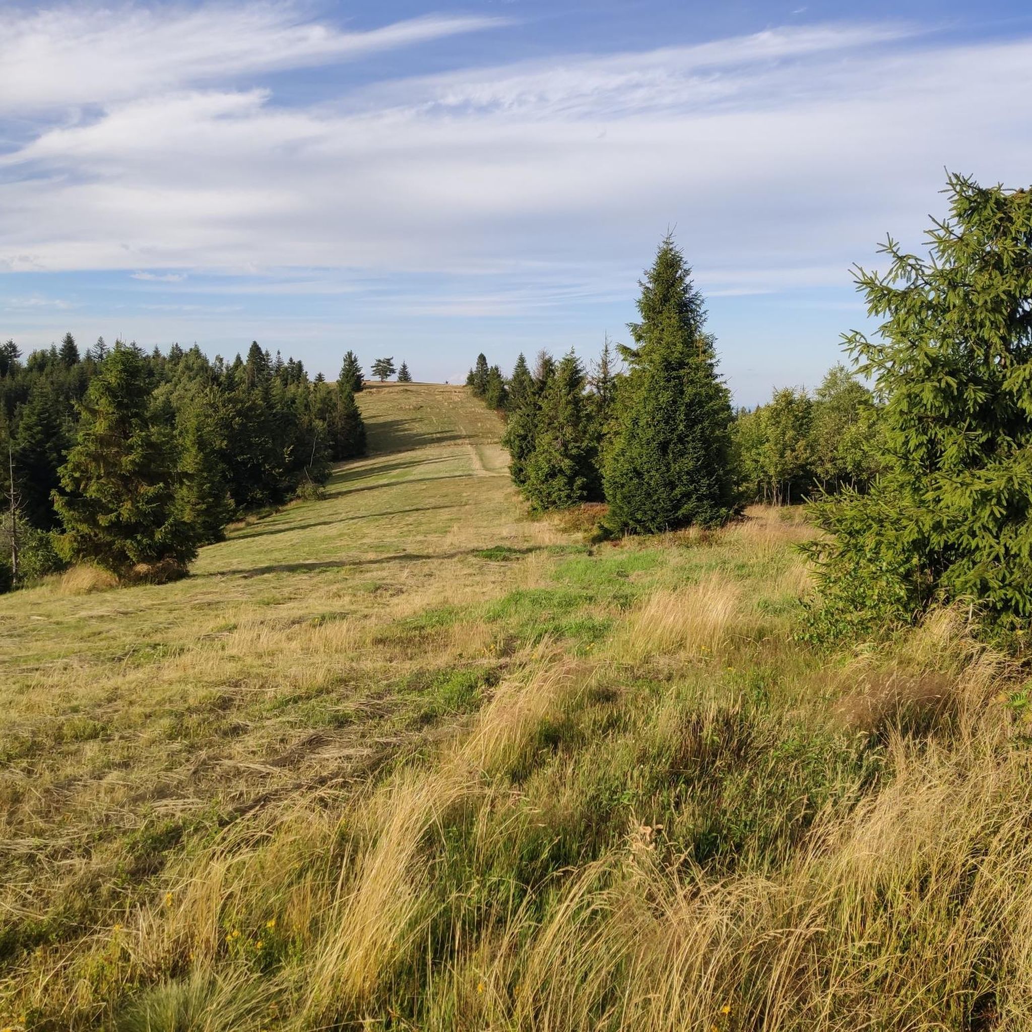
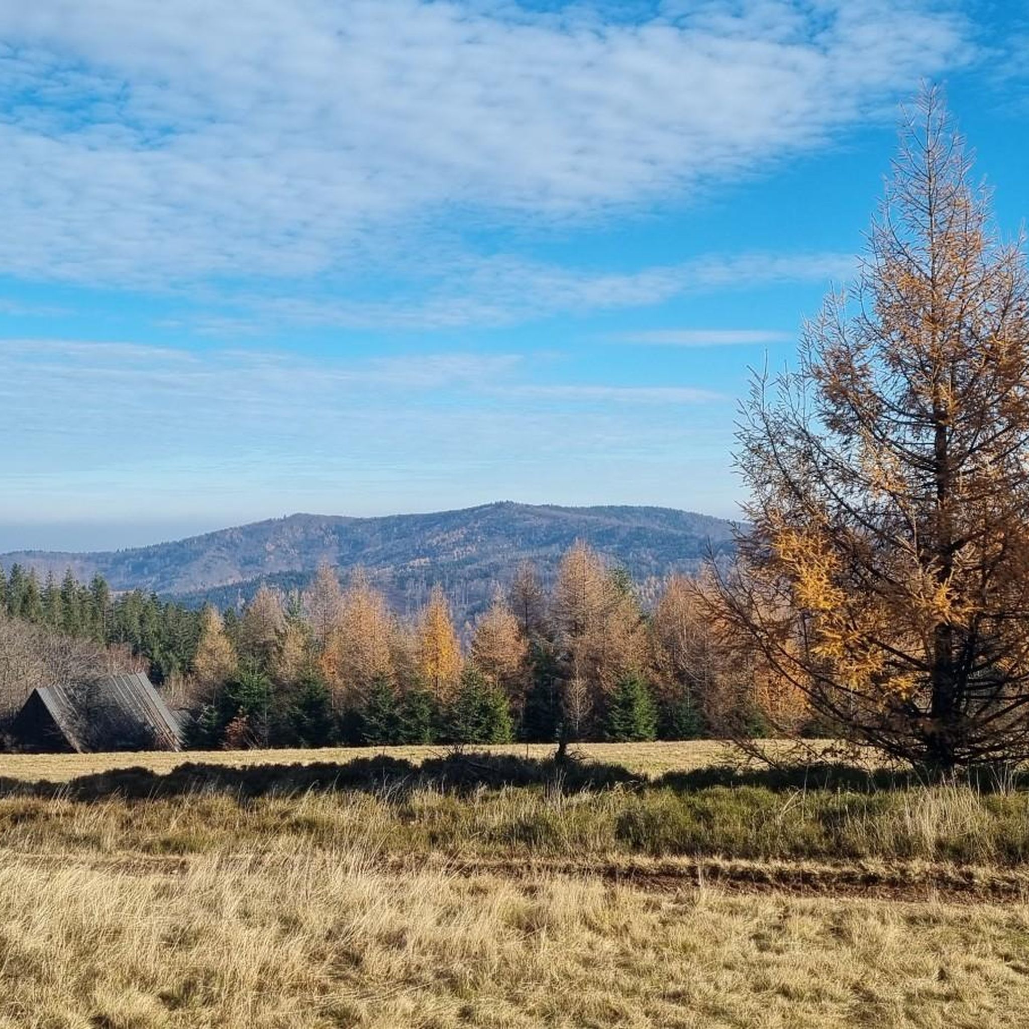
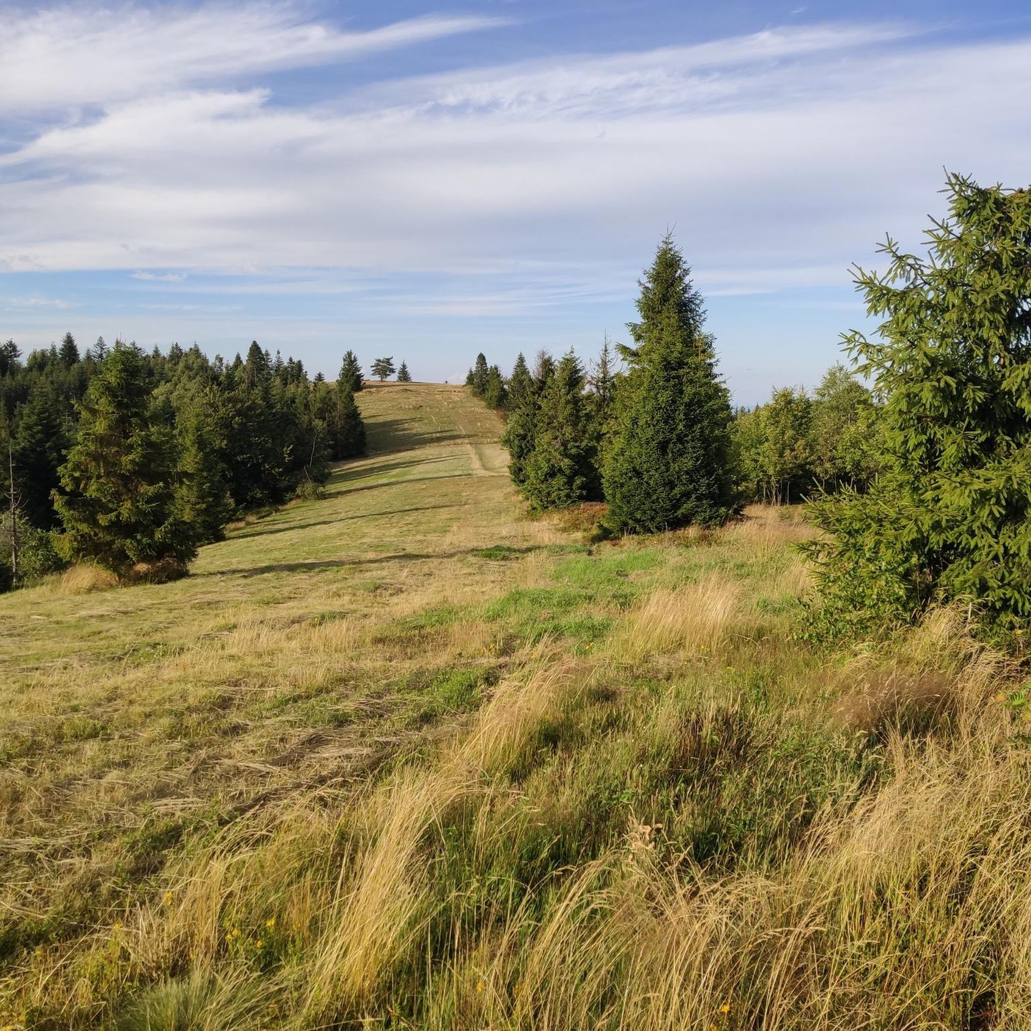
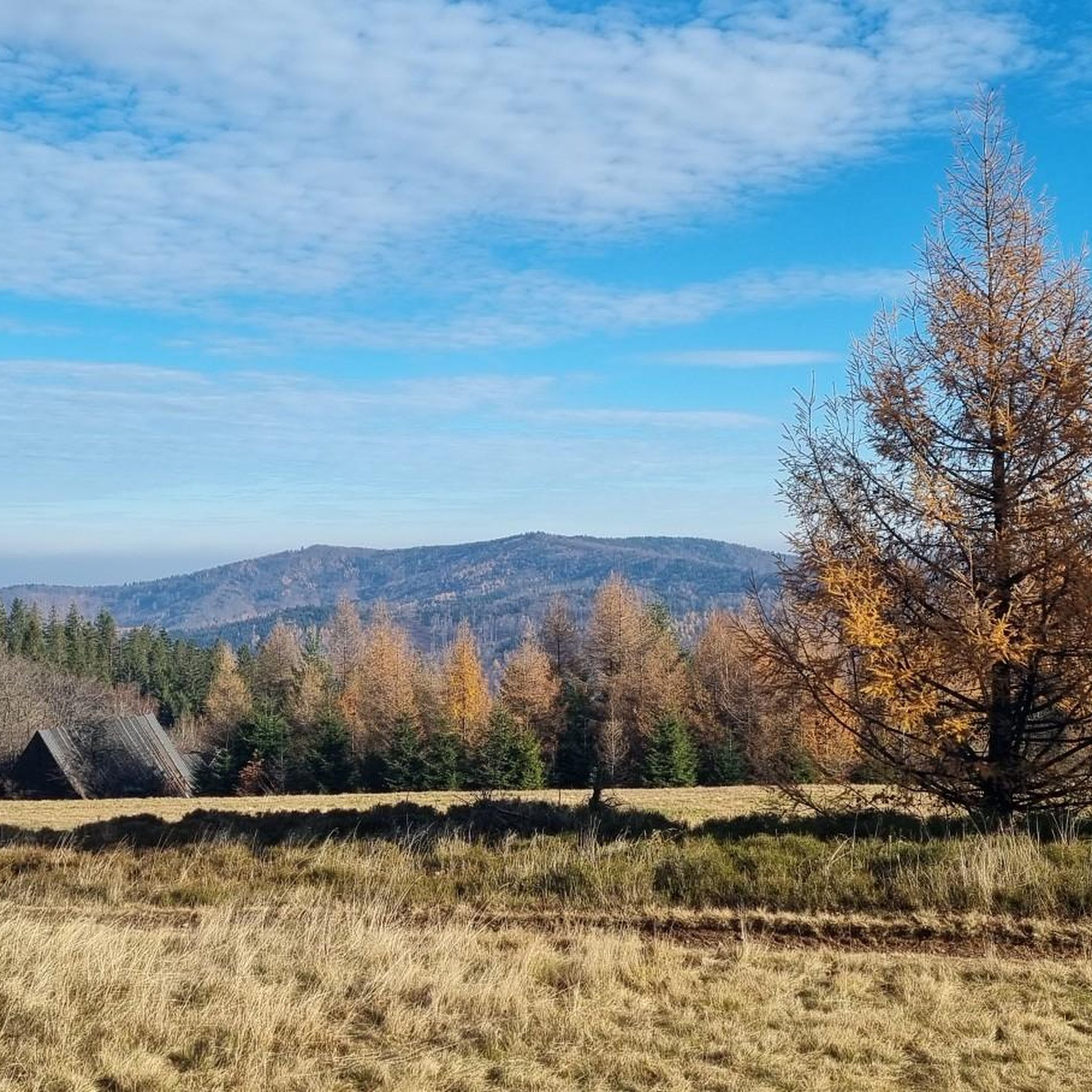

Tips from the Community


Mandatory place to rest and replenish drinks. You can get hot meals and cold drinks.
0
0


the views from Magurka are breathtaking
0
0

A good place to relax. You can make a bonfire.
0
0
At the top, there's a toboggan run. A great attraction for adults and children alike. Cost: 15 PLN.
1
0

There are several food and drink options on site. Unfortunately, everything was closed in the evening, including the restrooms, making it difficult to get water. However, the views are spectacular.
0
0
A place with a beautiful view. There's a shelter, a fire pit with a grill, and space to hang a hammock or pitch a tent.
0
0
Frequently Asked Questions
How many mountaineering routes are available around Łękawica?
There are over a dozen dedicated mountaineering routes around Łękawica, offering a variety of experiences within the Beskid Mały mountain range. These routes cater to different skill levels, with a good selection of moderate and challenging options.
Are there mountaineering routes suitable for beginners or families in Łękawica?
While most routes around Łękawica are rated moderate to difficult, those with some hiking experience can enjoy the moderate trails. For example, the Przełęcz Isepnicka loop from Beskid Mały is a moderate option that is shorter in distance and elevation gain, making it a good choice for those looking for a less strenuous ascent.
Are there any circular mountaineering routes in the Łękawica area?
Yes, many of the mountaineering routes around Łękawica are designed as loops, allowing you to start and finish in the same location. Popular circular options include the Rogacz Summit – Czupel 931 m a.s.l. loop from Czernichów and the Czupel (933 m) – Czupel Peak (933 m) loop from gmina Czernichów, both offering comprehensive explorations of the area's peaks.
What kind of views or natural features can I expect to see along the mountaineering routes?
Mountaineering routes around Łękawica offer diverse scenery, from dense forests to panoramic viewpoints. You can expect to see the picturesque Beskid Mały mountains, and some routes provide views of Góra Żar. The region is also home to the scenic Międzybrodzkie Lake, formed by the historic Porąbka Dam, which can be admired from certain vantage points or explored around its perimeter.
Are there any mountain shelters or places to rest along the trails?
Yes, the region is well-equipped with mountain shelters. You can find amenities at the PTTK Leskowiec Mountain Shelter and the Magurka Wilkowicka Mountain Hut. These shelters often provide buffets, full-board kitchens, and accommodation, making them ideal spots for a break or an overnight stay during longer treks.
What do other mountaineers say about the routes around Łękawica?
The mountaineering routes in Łękawica are highly regarded by the komoot community, holding an impressive average rating of 4.7 stars from over 20 reviews. Users frequently praise the varied terrain, well-marked paths, and the rewarding views from the forested peaks.
Can I reach the highest peak, Czupel, on a mountaineering route?
Absolutely. Czupel, at 933 meters, is the highest peak of the Beskid Mały and a significant attraction. Several routes lead to its summit, such as the Czupel (933 m) – Czupel Peak (933 m) loop from gmina Czernichów, which directly ascends the peak, offering great views of the surrounding mountains.
Are there any notable landmarks or points of interest near the mountaineering trails?
Beyond the natural beauty, you can find interesting landmarks. The historic Porąbka Dam, an impressive technical monument, creates the scenic Międzybrodzkie Lake. Additionally, you might encounter the Cross on Chrobacza Łąka, which is another point of interest in the area.
What are the typical starting points for mountaineering routes in this region?
Routes often start from various points around the Beskid Mały, including villages like Czernichów, Międzybrodzie Bialskie, and gmina Porąbka. These locations serve as convenient access points to the extensive trail network.
Are there any permits required for mountaineering in the Łękawica area?
Based on available information, there are no specific permits required for general mountaineering or hiking on the established trails within the Beskid Mały mountain range around Łękawica.
What is the best time of year for mountaineering around Łękawica?
The Beskid Mały mountains are appealing throughout the year. Spring and autumn offer pleasant temperatures and vibrant foliage, while summer provides longer daylight hours. Winter mountaineering is also possible, but requires appropriate gear and awareness of snow conditions.
Are there any routes that pass by the Porąbka Dam or Międzybrodzkie Lake?
Yes, some routes offer views of or pass near the Porąbka Dam and the scenic Międzybrodzkie Lake. For instance, the Mountaineering loop from gmina Porąbka starts from a location close to the dam, allowing for exploration of this impressive area.
Most popular routes around Łękawica
Most popular attractions around Łękawica

Get inspired with the komoot mobile app


Explore more
Browse the best Mountain Hikes & Routes in other regions.
