The best road cycling routes around Milówka
4.6
(36)
1,284
riders
22
rides
Road cycling routes around Milówka traverse a diverse landscape, characterized by the scenic Soła River valley and surrounding mountainous terrain. The region offers a mix of flatter paths along the river and more challenging routes with significant elevation gains through passes and forested areas. Cyclists can expect varied scenery, from riverside views to climbs offering panoramic vistas of the Beskid Żywiecki.
Best road cycling routes around Milówka
- The most popular road cycling route is Szczyrk Ski Jump – White Cross Regional Inn loop from Laliki, a 55.6 miles (89.5 km) trail that takes 4 hours 36 minutes to complete. This difficult route features substantial elevation gain through mountainous terrain.
- Another top favourite among local road cyclists is Bicycle Path – Kotelnica Pass loop from Milówka, a moderate 27.4 miles (44.1 km) path. This route offers a blend of riverside cycling and climbs towards Kotelnica Pass, providing diverse scenery.
- Local road cyclists also love the Eisenberg Pass – Bicycle Path loop from Milówka, a 14.5 miles (23.4 km) trail leading through the Eisenberg Pass area, often completed in about 1 hour 6 minutes.
- Road cycling around Milówka is defined by river valleys, mountainous passes, and forested landscapes. The network offers options for different ability levels, from easy loops to challenging climbs.
- The routes in Milówka are highly rated by the komoot community with an average score of 4.6 stars from over 20 reviews. More than 1,200 road cyclists have used komoot to explore Milówka's varied terrain.
Last updated: October 13, 2026
4.9
(13)
388
riders
90.2km
04:43
1,500m
1,500m
Hard road ride. Very good fitness required. Some segments of this route may be unpaved and difficult to ride.
35
riders
44.9km
02:33
450m
450m
Moderate road ride. Good fitness required. Mostly well-paved surfaces and easy to ride.

33
riders
62.8km
03:09
840m
840m
Moderate road ride. Good fitness required. Mostly well-paved surfaces and easy to ride.
21
riders
33.3km
01:51
480m
480m
Moderate road ride. Good fitness required. Some segments of this route may be unpaved and difficult to ride.
10
riders
186km
08:45
2,220m
2,220m
Hard road ride. Very good fitness required. Mostly well-paved surfaces and easy to ride.
Get access to more routes and recommendations from other explorers.
Already have an account?
Our route recommendations are based on thousands of hikes, rides, and runs completed by other people on komoot.
Start today with a free account
Your next adventure awaits.

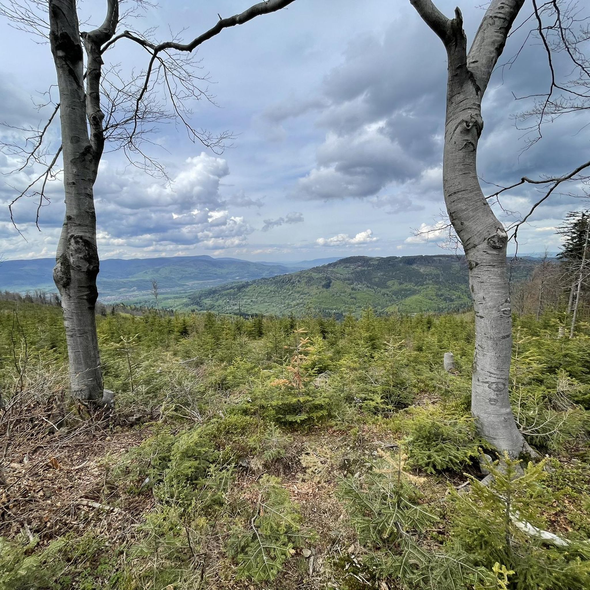
Tips from the Community

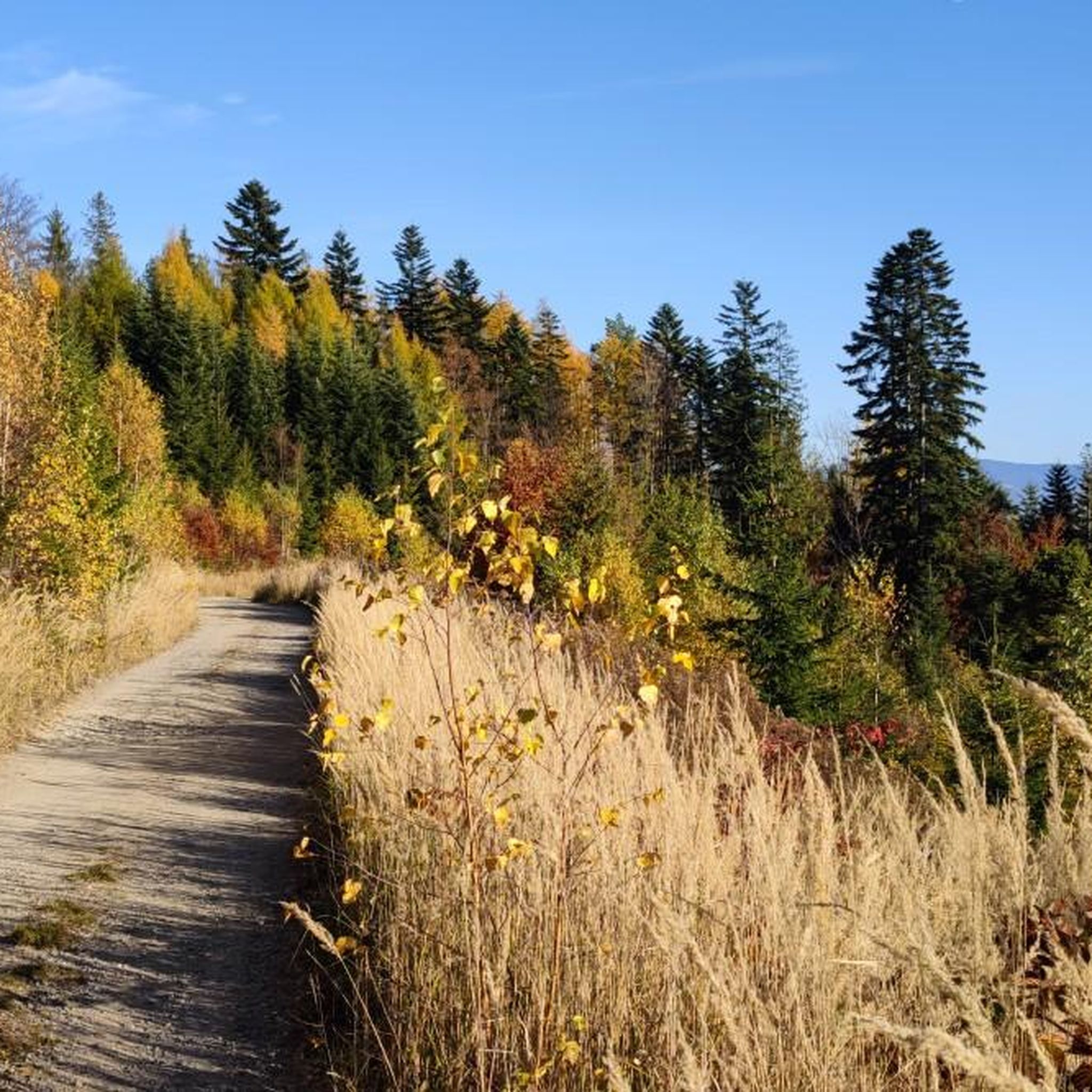
Wide trail, just right for families
0
0

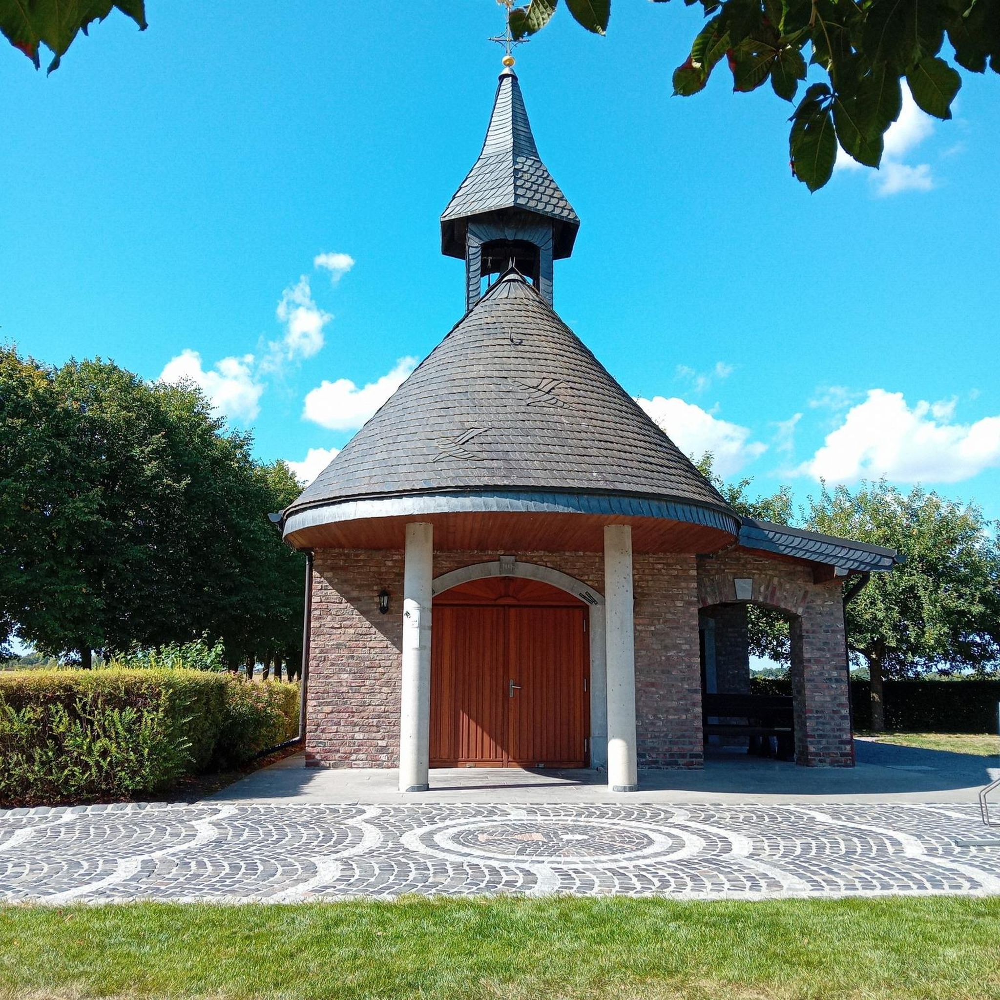
A great place where you can recharge your batteries near Velo Soła - eat homemade cake and drink aromatic coffee or cool down with ice cream! And all this made by them on site!
0
0

Beautiful view of the Soła river.
0
0

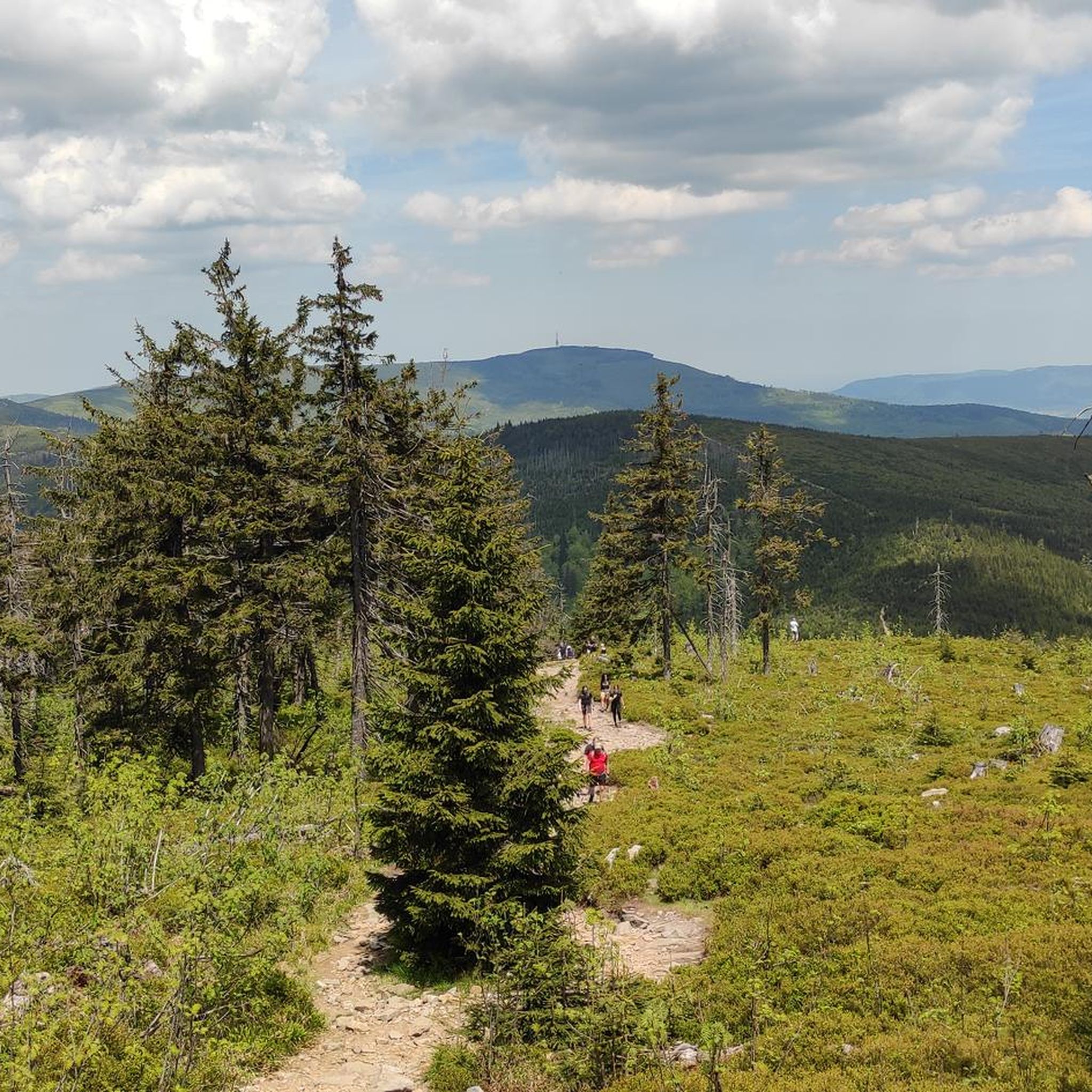
Beautiful mountain pastures, quite a long approach from Żabnica
0
0
Very tasty pastries, very nice service
1
0

It's worth trying your hand at the climb, nice views, nice route
0
0
Great views, nice route
0
0

A confectionery shop in Milówka recommended by the G. brothers. Only on weekends and during holidays can you find a delicious baked good called Golcówka.
0
0
Frequently Asked Questions
How many road cycling routes are available in Milówka?
Milówka offers a diverse selection of 16 road cycling routes. These routes vary in difficulty, catering to different skill levels from easy to difficult.
What kind of terrain can I expect on road cycling routes around Milówka?
Road cycling in Milówka features a varied landscape. You'll find flatter paths along the scenic Soła River valley, as well as more challenging routes with significant elevation gains through mountainous terrain and forested areas. The region is characterized by picturesque views and diverse natural features.
Are there road cycling routes suitable for families in Milówka?
Yes, Milówka offers easier routes that are suitable for families or those seeking a less strenuous ride. For example, the Bridge Over the Soła River – Bicycle Path loop from Milówka is an easy 23 km route with minimal elevation gain, perfect for a relaxed outing.
What are the best seasons for road biking in Milówka?
The spring, summer, and early autumn months generally offer the best conditions for road biking in Milówka. During these seasons, the weather is typically more favorable, and the natural scenery is at its most vibrant, making for pleasant rides through the river valleys and forested areas.
Are there any circular road cycling routes in Milówka?
Yes, many of the road cycling routes around Milówka are designed as loops, allowing you to start and finish in the same location. Examples include the moderate Bicycle Path – Kotelnica Pass loop from Milówka and the easy Eisenberg Pass – Bicycle Path loop from Milówka.
How challenging are the road cycling routes in Milówka?
The routes in Milówka range from easy to difficult. There are 2 easy routes, 8 moderate routes, and 6 difficult routes. Challenging options like the Szczyrk Ski Jump – White Cross Regional Inn loop from Laliki feature substantial elevation gains of over 1500 meters, while easier routes offer gentler terrain.
What natural attractions can I see while road cycling near Milówka?
While road cycling near Milówka, you can incorporate visits to beautiful natural attractions. Consider exploring the Kaskady Rodła Waterfalls or the Soła River Waterfall and Suspension Bridge in Węgierska Górka. The region's river valleys and forests provide a scenic backdrop for your rides.
Are there any notable viewpoints or landmarks along the road cycling routes?
Yes, the mountainous terrain around Milówka offers several notable viewpoints and landmarks. You might encounter the Salmopolska Pass or enjoy panoramic views from Hala Rysianka. The Viewing tower on Barania Góra also provides excellent vistas.
Where can I find parking for road cycling routes in Milówka?
Milówka is generally cyclist-friendly, and you can often find parking in or near the town center, or at designated starting points for routes. Many routes, such as the Bicycle Path – Kotelnica Pass loop from Milówka, start directly from Milówka, making access convenient.
Are there amenities for cyclists in Milówka, like bike repair?
Yes, Milówka is equipped to support cyclists. There is a mobile bike repair station located in a municipal park, which can be very helpful for any unexpected issues during your ride.
Can I find cafes or places to rest along the road cycling paths?
While specific cafes on every path are not guaranteed, the region's towns and villages, including Milówka itself, offer places to rest and refuel. Routes that pass through populated areas or near attractions are more likely to have options for refreshments.
What do other road cyclists say about their experience in Milówka?
The road cycling routes around Milówka are highly rated by the komoot community, with an average score of 4.6 stars from over 20 reviews. Cyclists often praise the diverse scenery, from riverside views to challenging climbs, and the variety of routes available for different fitness levels.
Most popular routes around Milówka
Most popular attractions around Milówka

Get inspired with the komoot mobile app


Explore more
Browse the best Road cycling routes in other regions.
