The best walks and hikes around gmina gmina Daleszyce
4.8
(454)
6,882
hikers
31
hikes
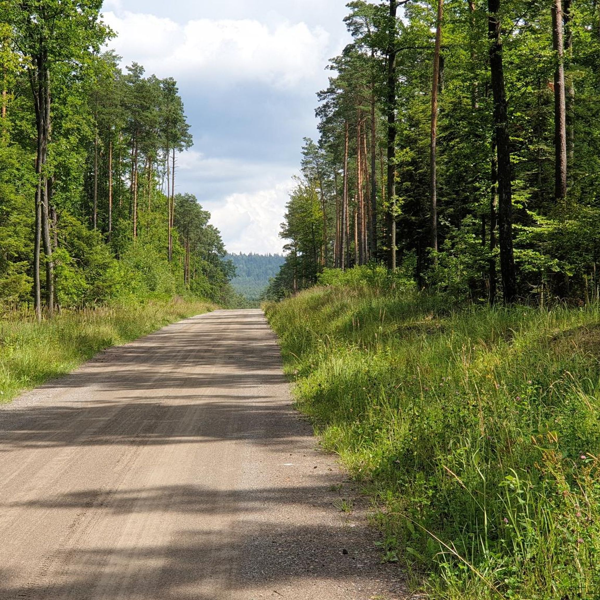
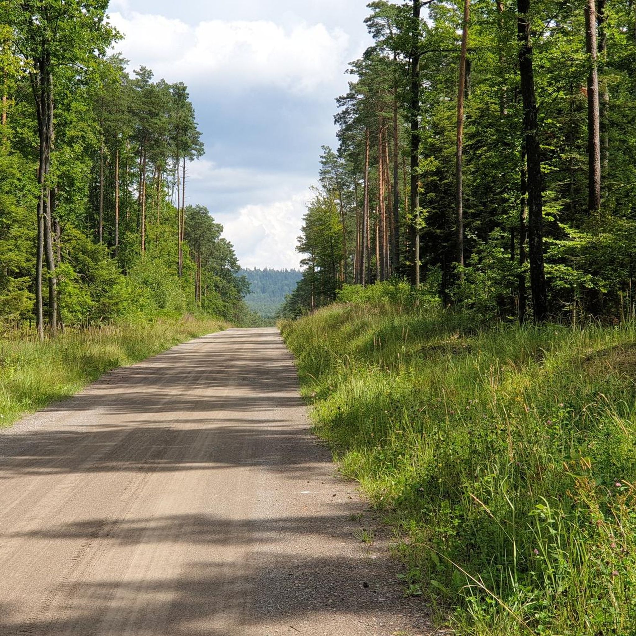
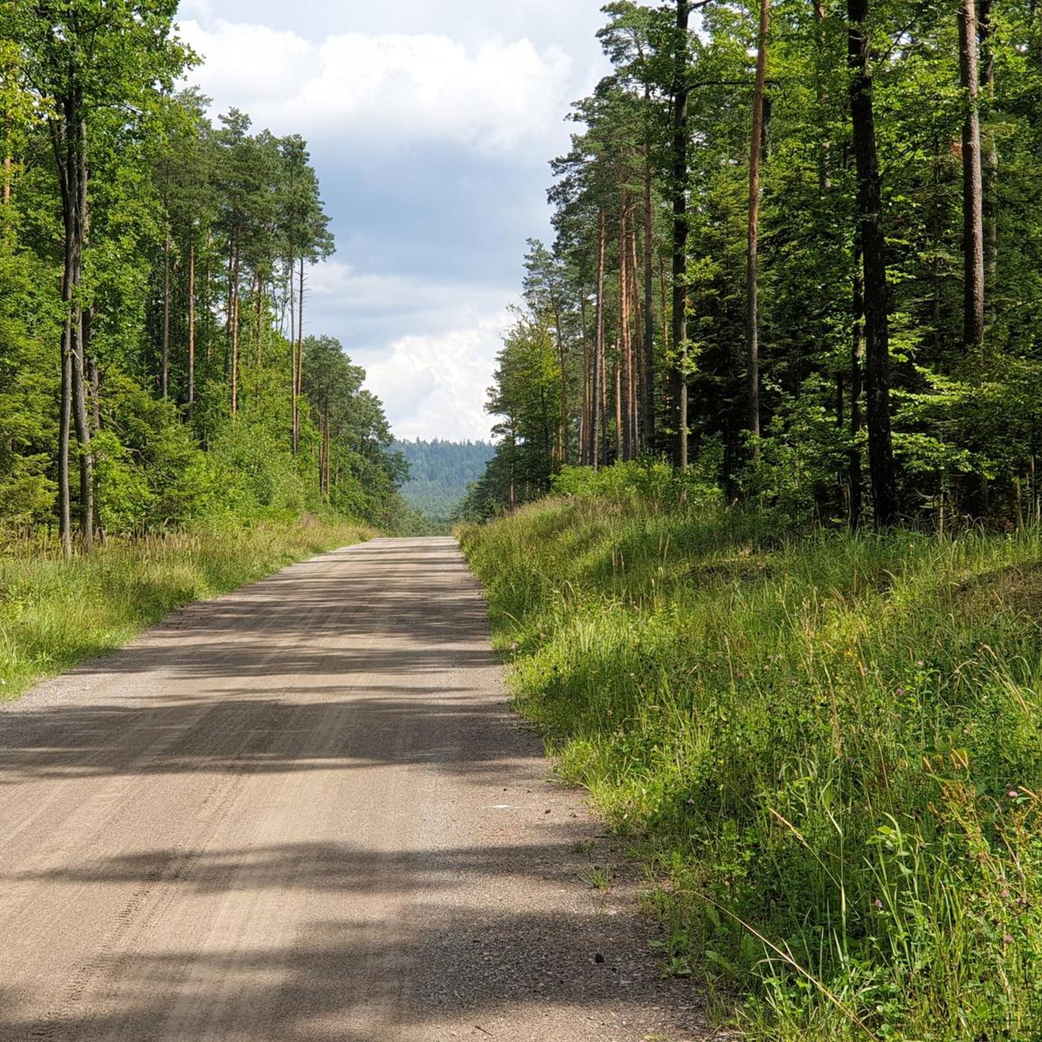
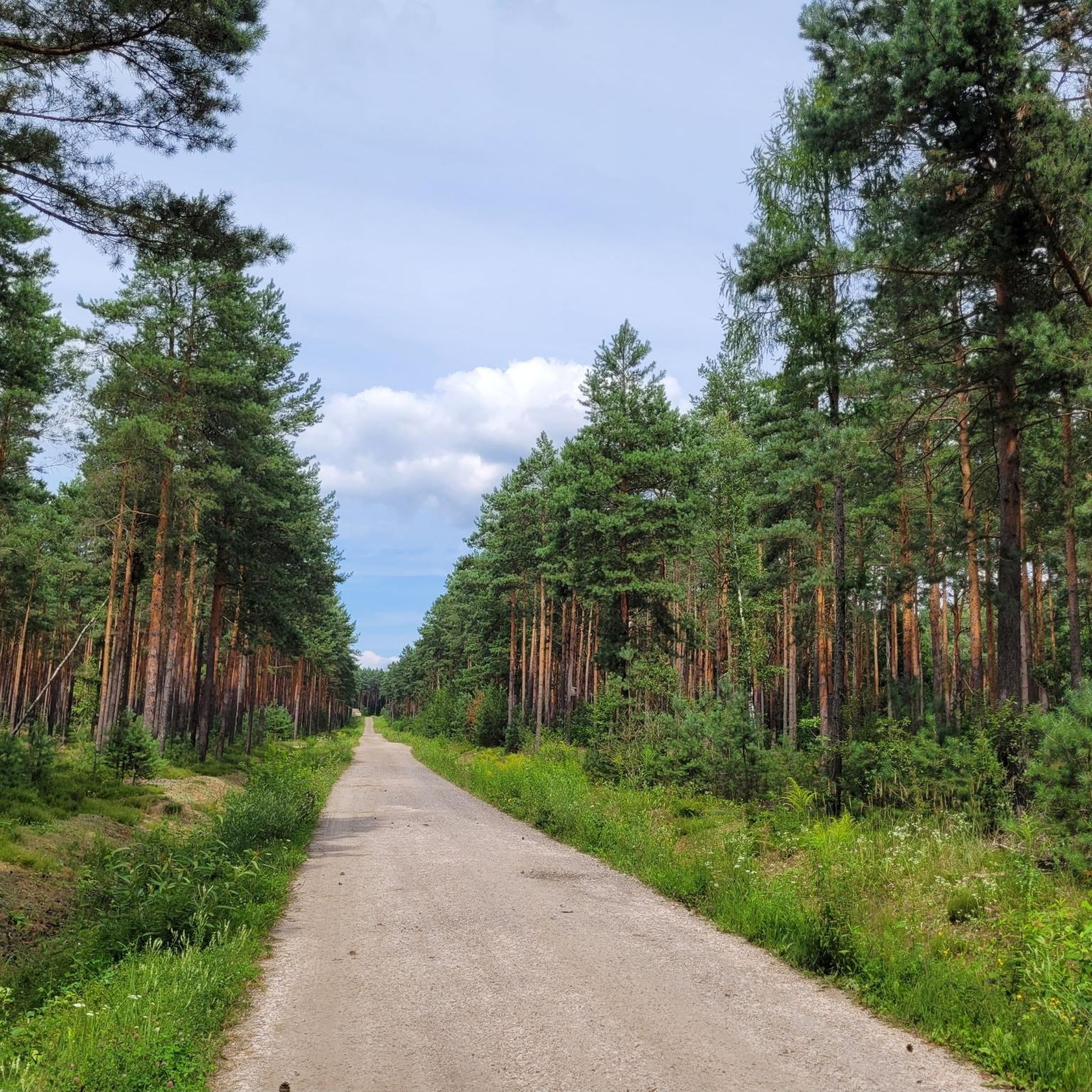
Hiking around gmina gmina Daleszyce offers diverse terrain characterized by the gentle hills of the Malopolska Upland, dense forests, and picturesque valleys. The region features notable elevations such as Telegraf Hill (408 m) and Otrocz Mountain (375 m), providing varied hiking experiences. A significant natural feature is the Cisowsko-Orłowiński Landscape Park, which protects rich plant and animal life, including ancient trees and geological formations. The landscape supports a range of outdoor pursuits, making it suitable for different fitness levels.
Best…
Last updated: July 4, 2026
5.0
(2)
17
hikers
3.32km
00:58
90m
90m
Easy hike. Great for any fitness level. Easily-accessible paths. Suitable for all skill levels.
5.0
(2)
14
hikers
6.38km
01:37
20m
10m
Easy hike. Great for any fitness level. Easily-accessible paths. Suitable for all skill levels.

Sign up for free
4.5
(2)
10
hikers
13.5km
03:45
230m
230m
Moderate hike. Good fitness required. Easily-accessible paths. Suitable for all skill levels.
5.0
(3)
11
hikers
5.16km
01:28
110m
110m
Easy hike. Great for any fitness level. Easily-accessible paths. Suitable for all skill levels.
9
hikers
Moderate hike. Good fitness required. Easily-accessible paths. Suitable for all skill levels.
Get access to more routes and recommendations from other explorers.
Sign up for free
Already have an account?
Our route recommendations are based on thousands of hikes, rides, and runs completed by other people on komoot.
Start today with a free account
Your next adventure awaits.
Login or Signup


Tips from the Community

The recreational reservoir is located among forest areas in the immediate vicinity of the Cisowsko-Orłowiński Landscape Park. The safety of people bathing in the designated area is ensured by the rescue team. Guests of Borkowo have at their disposal a sandy beach, an outdoor gym, a water equipment rental, such as water bikes, kayaks, boats, a pier, walking paths, catering points and parking lots.
3
0
Within the bathing area: a designated area in the water, 150 m of beach, a beach area for recreation and sports, the bathing area has a jetty, pier, possibility of mooring water equipment, separated areas for barbecue/bonfire, water draw-off point, toilet, showers. No pets allowed
3
0
There is an organized beach at the reservoir in Borkowo, as well as catering facilities and a water equipment rental.
3
0
One of the attractions is a pier with a marina for water equipment that can be rented
3
0
There is an organized beach at the Borków reservoir, very clean with many attractions
3
0
The reservoir built in 1976[3] has an area of 35.70 hectares and a volume of 685.6 thousand m³ (normal water level). At normal water level, the water surface is at a height of 245.5 m above sea level, and at winter water level, at a height of 245.0 m above sea level. The greatest depth of the reservoir is over four meters, with an average depth of two meters. The reservoir has two islands
3
0
Zalew Borków is a nice place to relax, easy access and parking
3
0
There is a shop with good supplies next door.
1
0
Frequently Asked Questions
How many hiking trails are available in Gmina Daleszyce?
Gmina Daleszyce offers a wide selection of hiking routes, with over 220 trails recorded on komoot. These range from easy strolls to more challenging ascents, ensuring there's something for every hiker.
Are there any easy, family-friendly hikes in Gmina Daleszyce?
Yes, Gmina Daleszyce is well-suited for families and beginners, with over 120 easy routes. A great option is the Otrocz Mountain (375 m) loop from Niestachów, an easy 3.3 km path that can be completed in under an hour. Another accessible choice is the Telegraf Hill (408 m) – Noise Mountain loop from Mójcza, which is 4.4 km long and takes about 1 hour 15 minutes.
Can I find circular hiking routes in Gmina Daleszyce?
Absolutely. Many trails in Gmina Daleszyce are designed as loops, offering convenient starting and ending points. For example, the Zalew Borków – Pier at Borków Reservoir loop from Borków is a scenic 6.4 km route around the reservoir. The Soviet Prisoners' Cemetery loop from Mójcza is another easy circular option, covering nearly 7 km.
What are the best trails for scenic viewpoints in Gmina Daleszyce?
For panoramic views, consider trails that ascend the region's hills. The area around Telegraf Hill (408 m) offers excellent vistas. Additionally, a 15-meter observation tower near the former stone quarry in Zagórze provides stunning views of the Cisów-Orłowiny forests and serves as a starting point for trails leading to Cisów and Widełki.
Are there any natural attractions or reserves to explore while hiking?
Gmina Daleszyce is rich in natural beauty, with much of it located within the Cisów-Orłowiny Landscape Park. You can explore reserves like "Cisów im. prof. Z. Czubińskiego" with its ancient fir, beech, and oak trees, or the "Zamczysko" Reserve, known for its old trees and an archaeological site. The "Słopiec" Reserve protects unique peat bogs with rare plant species. You can also visit the Zalew Borków, a large reservoir with recreational facilities.
What kind of terrain can I expect on hikes in Gmina Daleszyce?
The terrain in Gmina Daleszyce is diverse, characterized by the gentle hills of the Malopolska Upland, dense forests, and picturesque valleys. You'll encounter elevations like Telegraf Hill (408 m) and Otrocz Mountain (375 m), offering varied experiences from easy, rolling paths to moderate ascents through ancient woodlands.
What do other hikers say about the trails in Gmina Daleszyce?
The hiking trails in Gmina Daleszyce are highly rated by the komoot community, with an average score of 4.7 stars from over 350 reviews. Hikers frequently praise the region's beautiful, extensive forests, the well-maintained paths, and the peaceful atmosphere, making it an ideal destination for nature lovers.
Are there any moderate or more challenging routes for experienced hikers?
Yes, for those seeking a bit more challenge, Gmina Daleszyce offers 87 moderate routes. The Kiełków (452 m a.s.l.) – Orłowiny Memorial Site loop from Nowa Huta is a moderate 13 km trail that takes approximately 3 hours and 40 minutes to complete, offering a good workout with rewarding views.
Are dogs allowed on the hiking trails in Gmina Daleszyce?
Generally, dogs are welcome on hiking trails in Gmina Daleszyce, especially within the extensive forest areas and landscape parks. It's always advisable to keep your dog on a leash, particularly in nature reserves or areas where wildlife is present, to protect both your pet and the local fauna.
What is the best time of year to go hiking in Gmina Daleszyce?
Gmina Daleszyce offers enjoyable hiking experiences throughout the year. Spring brings lush greenery and blooming flora, while autumn showcases vibrant fall colors in the extensive forests. Summer is popular for its warm weather, especially around the Borków Reservoir, and winter offers serene, snow-covered landscapes for those prepared for colder conditions.
Are there any educational trails in the area?
Yes, an educational nature trail named "Cisów - Góra Września - Daleszyce" stretches 10.5 km within the Cisów-Orłowiny Landscape Park. This trail provides insights into the local environment, flora, and fauna, making it a great option for those interested in learning more about the region's natural heritage while hiking.
Most popular routes around gmina gmina Daleszyce
Most popular attractions around gmina gmina Daleszyce

Get inspired with the komoot mobile app


Explore more
Browse the best Hikes in other regions.
