The best walks and hikes around gmina Łączna
4.7
(608)
8,504
hikers
166
hikes
Hiking trails around gmina Łączna are situated within the Świętokrzyskie Voivodeship of Poland, offering diverse landscapes for outdoor activities. The region is characterized by its location within or near the Świętokrzyski National Park, featuring the Łysogóry ridge with peaks like Łysica and Łysa Góra. These mountains are covered by ancient spruce and beech forests, with unique geological features such as the *gołoborze* rock rubble. Natural monuments like Bukowa Góra, with its Devonian sandstone rock formations, also contribute to the varied…
Last updated: July 4, 2026
5.0
(2)
27
hikers
4.06km
01:08
80m
80m
Easy hike. Great for any fitness level. Easily-accessible paths. Suitable for all skill levels.
5.0
(2)
11
hikers
4.64km
01:18
100m
100m
Easy hike. Great for any fitness level. Easily-accessible paths. Suitable for all skill levels.

Sign up for free
5.0
(1)
19
hikers
4.10km
01:03
20m
20m
Easy hike. Great for any fitness level. Easily-accessible paths. Suitable for all skill levels.
4.8
(4)
19
hikers
13.1km
03:39
250m
250m
Moderate hike. Good fitness required. Easily-accessible paths. Suitable for all skill levels.
4.0
(1)
12
hikers
12.8km
03:29
180m
180m
Moderate hike. Good fitness required. Easily-accessible paths. Suitable for all skill levels.
Get access to more routes and recommendations from other explorers.
Sign up for free
Already have an account?
Our route recommendations are based on thousands of hikes, rides, and runs completed by other people on komoot.
Start today with a free account
Your next adventure awaits.
Login or Signup
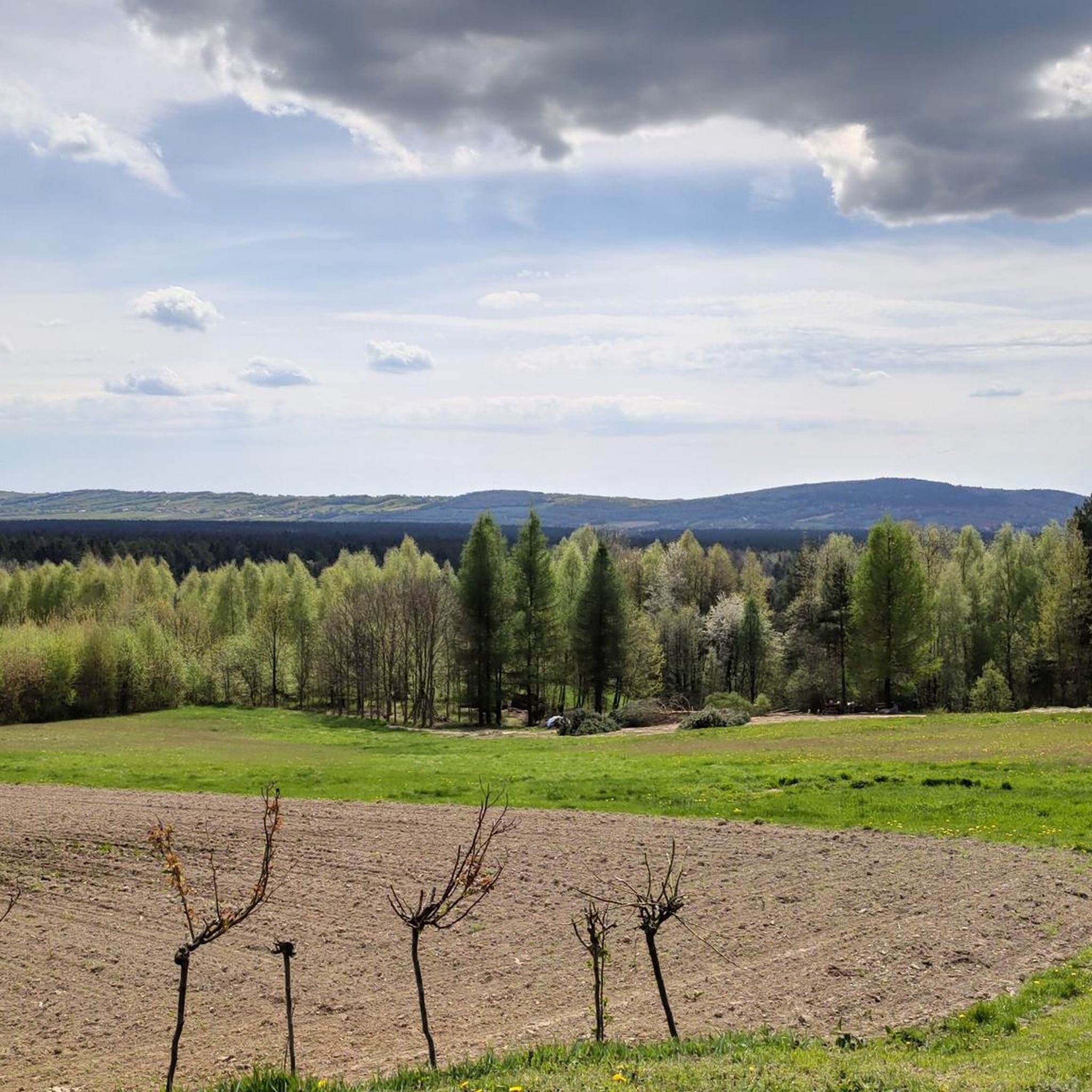
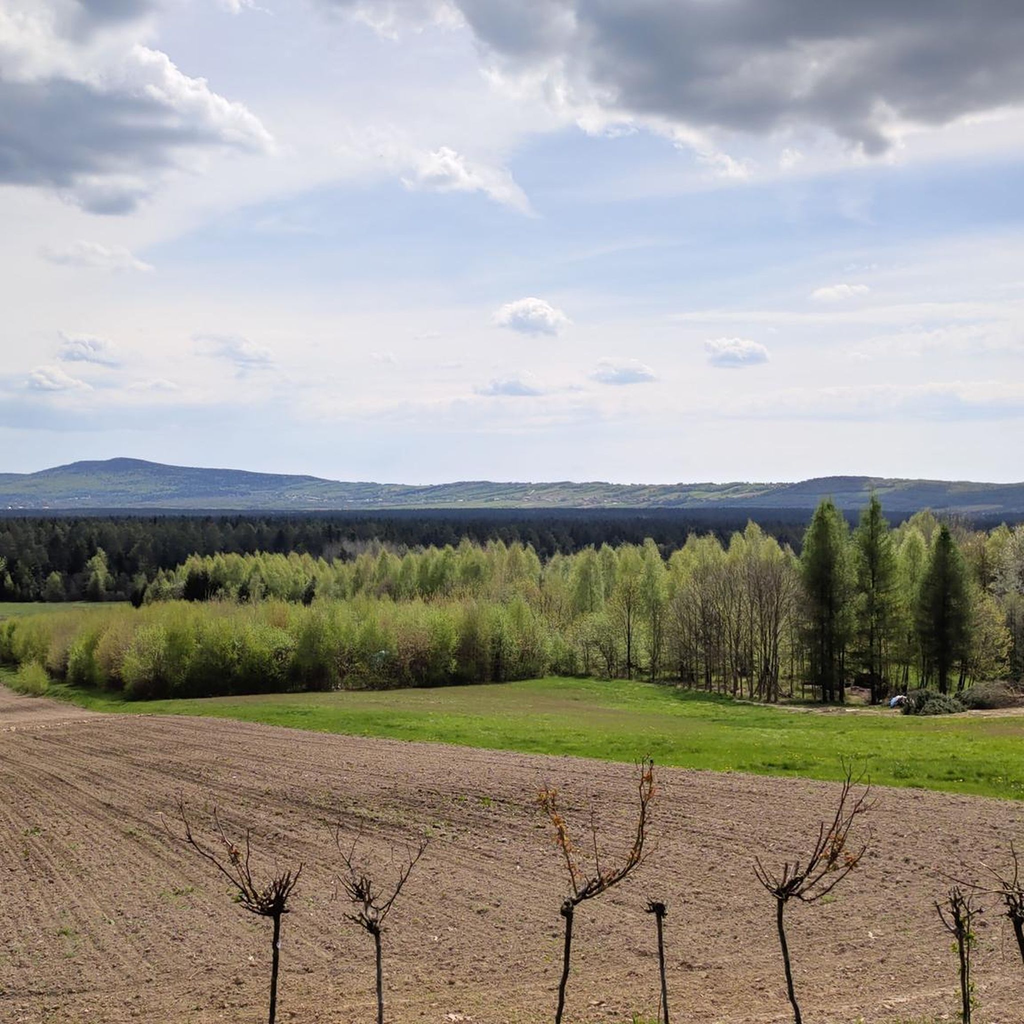
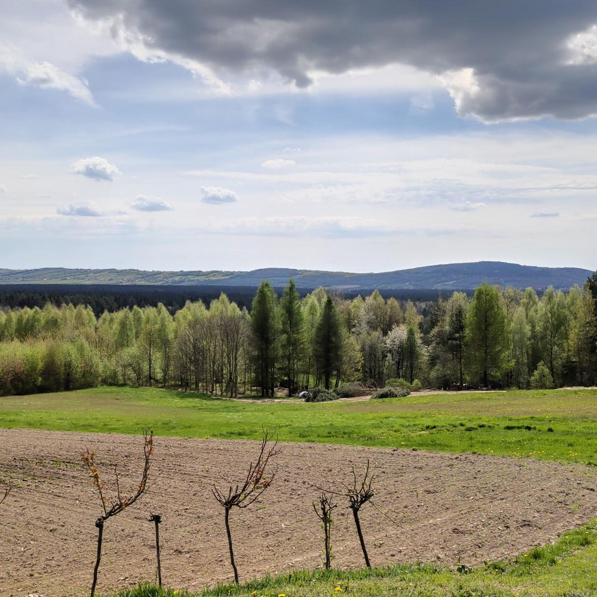
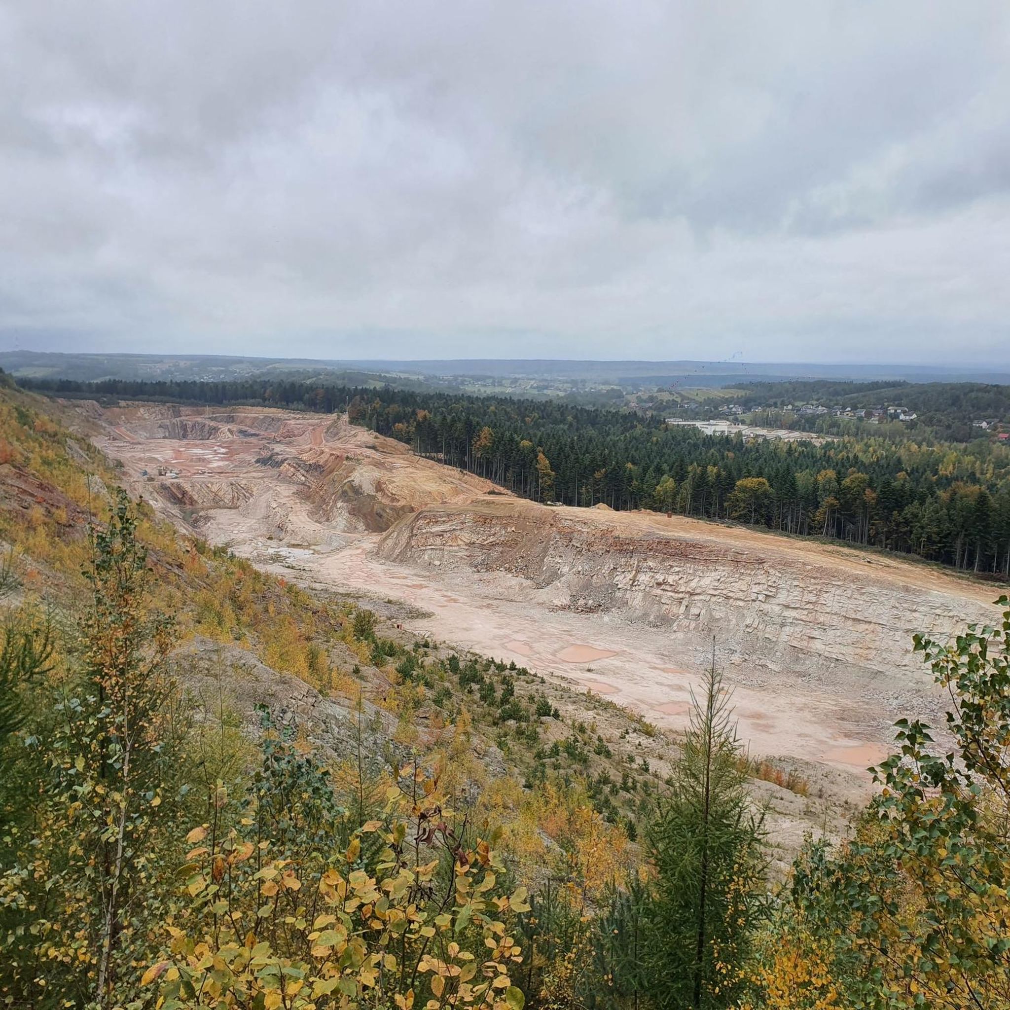

Tips from the Community

Michniów, a village pacified by Germans during World War II in which 204 inhabitants died.
0
0

One of the better routes from the bay side.
0
0

From the chapel 90 m to the peak
0
0
The peak is about 50m from the main trail, you can see the hill
0
0

Driveway from Bodzentyn street - accessible☝️, passable trails, few stones for GŚ🦌
0
0

The peak belongs to the Crown of the Świętokrzyskie Mountains. Access via the blue or black / blue trail. The peak itself off the trail. From the blue trail you should turn off at the level of a roadside chapel. At the top there is a mound of stones and a plaque.
1
0
A place of commemoration of the heroes of the Home Army from these lands from World War II. The beginning of the black trail. World available.
0
0
A peak belonging to the Crown of the Świętokrzyskie Mountains. Access via the green trail. The place is marked with a board, although the peak is higher. It is located in the Świętokrzyski National Park.
0
0
Frequently Asked Questions
How many hiking trails are available in Gmina Łączna, and what are their difficulty levels?
Gmina Łączna offers a wide variety of hiking experiences with over 130 trails. You'll find options for all skill levels, including more than 60 easy routes, nearly 60 moderate trails, and 17 more challenging paths for experienced hikers.
Are there family-friendly hiking options in Gmina Łączna?
Yes, Gmina Łączna has numerous easy trails perfect for families. For instance, the Ponury Cave loop from Wzdół Rządowy is an easy 2.9-mile (4.6 km) trail that takes just over an hour, exploring local forest areas. Another great option is the Polana Obrazik Chapel – Bukowa Góra Rock Formations loop from Klonów, an easy 3.4-mile (5.5 km) route through forested terrain.
What unique natural features or landmarks can I expect to see while hiking in Gmina Łączna?
Hikers in Gmina Łączna can discover the distinctive gołoborze boulder fields, which are accumulations of quartzite sandstone rocks, especially prominent in the Świętokrzyskie Mountains. The region also features ancient spruce and beech forests, and unique Devonian sandstone rock formations like those found along the Bukowa Góra Rock Formations loop from Łączna. You can also explore natural monuments such as Ponury Cave or the Łysica Summit.
Are there any circular hiking routes in Gmina Łączna?
Many of the trails in Gmina Łączna are designed as loops, offering convenient starting and ending points. Examples include the Ponury Cave loop from Wzdół Rządowy, the Bukowa Góra Rock Formations loop from Łączna, and the Osieczyńska Góra (407 m) loop from Zalezianka.
What do other hikers enjoy most about hiking in Gmina Łączna?
The area is highly rated by the komoot community, with an average score of 4.7 stars from over 520 reviews. Hikers frequently praise the diverse landscapes, from ancient forests to unique rock formations, and the well-maintained trails that cater to various skill levels.
Are there opportunities for hiking near water or lakes in Gmina Łączna?
While Gmina Łączna itself is more focused on mountain and forest trails, the broader region offers access to several beautiful water bodies. You can find highlights like the Mostki Reservoir, Lakeside Path at Rejowskie Lake, and the Lakeside Beach at Brody Reservoir in nearby areas, which can complement your hiking experience.
Can I bring my dog on the hiking trails in Gmina Łączna?
Generally, dogs are welcome on trails in Gmina Łączna, especially within the extensive forest areas of the Sieradowice and Suchedniów-Oblęgorek Landscape Parks. However, it's always recommended to keep dogs on a leash to protect local wildlife and ensure a pleasant experience for all hikers. Please check specific park regulations if you plan to enter nature reserves.
What is the best time of year to go hiking in Gmina Łączna?
Gmina Łączna offers beautiful hiking opportunities throughout the year. Spring brings lush greenery and blooming flora, while autumn showcases vibrant fall foliage in the extensive forests. Summer is ideal for longer hikes, and even winter can be magical for snowshoeing or cross-country skiing, though some trails might be more challenging due to snow and ice.
Are there any historical sites or cultural points of interest along the trails?
Beyond natural beauty, the region has a rich history. The forests within the Sieradowice Landscape Park, for example, served as hideouts for insurgents during historical events like the January Uprising and World War II. You might also encounter remnants of old iron mining and metallurgy, showcasing the area's industrial heritage, adding a cultural layer to your hike.
What are the highest points or best viewpoints accessible by hiking in Gmina Łączna?
The Świętokrzyskie Mountains, which Gmina Łączna is part of, offer rewarding ascents. While Łysica (613.31 m) is traditionally known, Skała Agaty (Zamczysko) (613.96 m) is now considered the highest point. Trails to these peaks, such as the Łysica Summit, provide challenging climbs and panoramic views of the surrounding landscape.
Are there options for longer, more strenuous hikes in the area?
Yes, for those seeking a greater challenge, Gmina Łączna offers several moderate to difficult trails. The Polana Obrazik Chapel – Bukowa Góra Rock Formations loop from Łączna, for instance, is a moderate 9.4-mile (15.2 km) route with over 300 meters of elevation gain, providing a more extended and demanding experience through the region's forests.
Most popular routes around gmina Łączna
Most popular attractions around gmina Łączna

Get inspired with the komoot mobile app


Explore more
Browse the best Hikes in other regions.
