The best MTB trails around gmina Złotów
4.6
(15)
49
riders
37
rides
Mountain biking around gmina Złotów offers a diverse landscape characterized by varied topography, abundant forests, and numerous lakes. Situated on the Krajeńskie Lake District, the region features undulating terrain, with the highest point, Brzuchowa Góra, reaching 208 meters above sea level. Over 24% of the gmina's area is covered by forests, providing extensive networks of paths and trails, complemented by ten natural lakes and several rivers.
Best mountain bike trails around gmina Złotów
- The most popular mountain bike trail is…
Last updated: May 14, 2026
4.3
(3)
18
riders
15.6km
01:16
140m
140m
Easy mountain bike ride. Great for any fitness level. Suitable for all skill levels.
5.0
(3)
7
riders
49.1km
03:29
270m
270m
Moderate mountain bike ride. Good fitness required. Suitable for all skill levels.

Sign up for free
5.0
(3)
2
riders
49.9km
03:32
200m
200m
Moderate mountain bike ride. Good fitness required. Suitable for all skill levels.
3.5
(2)
3
riders
33.2km
02:30
170m
170m
Moderate mountain bike ride. Good fitness required. Advanced riding skills necessary.
4.0
(1)
2
riders
43.2km
02:46
160m
160m
Moderate mountain bike ride. Good fitness required. Suitable for all skill levels.
Get access to more routes and recommendations from other explorers.
Sign up for free
Already have an account?
Our route recommendations are based on thousands of hikes, rides, and runs completed by other people on komoot.
Start today with a free account
Your next adventure awaits.
Login or Signup

Tips from the Community

The mill is in the village of Trudna. Lipka (the commune seat) is a dozen or so kilometers away.
1
0

Trudna (formerly Kappe, the German name) is a village in the Krajna region. Before World War II, two watermills operated on the Debrzynka River near Trudna. During the fighting for the Pomeranian Wall in early 1945, retreating Germans blew up the bridge over the Debrzynka, a groat mill, and a miller's farm on the Trudna-Rozwory road. Today, the ruins of the mill, groat mill, and farm stand.
2
0
Currently, the building is a residential building and could be called a loft, an apartment set up in former industrial premises. The mill was built before 1935 by the Germans. After the war, it was taken over by the local Polish authorities and expanded in the 1950s – the two upper floors were built of brick, replacing the previous, likely wooden structure. In the early 1990s, the mill was purchased by a partnership of several families from the Lipka Municipal Cooperative. In 2007, the mill was equipped with central heating, powered by a solid fuel furnace, which also provides domestic hot water. That same year, the windows on the ground floor and first floor were replaced, and the mill's machinery was removed, transforming it into a residential building. https://trudna.pl/
2
0

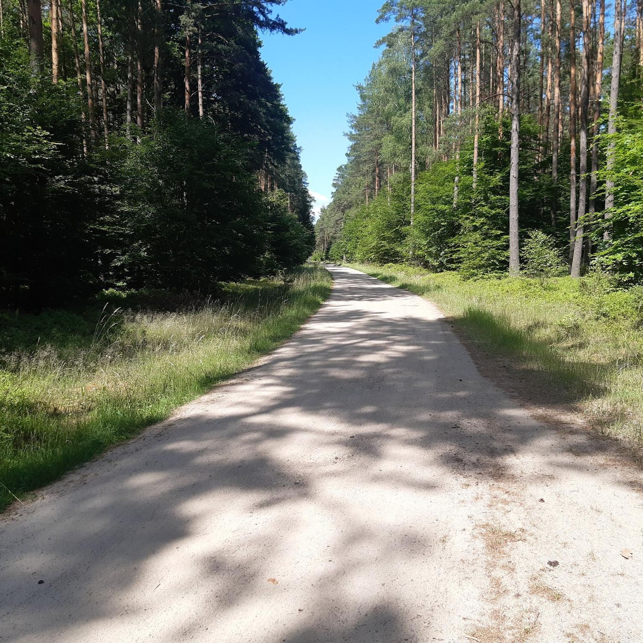
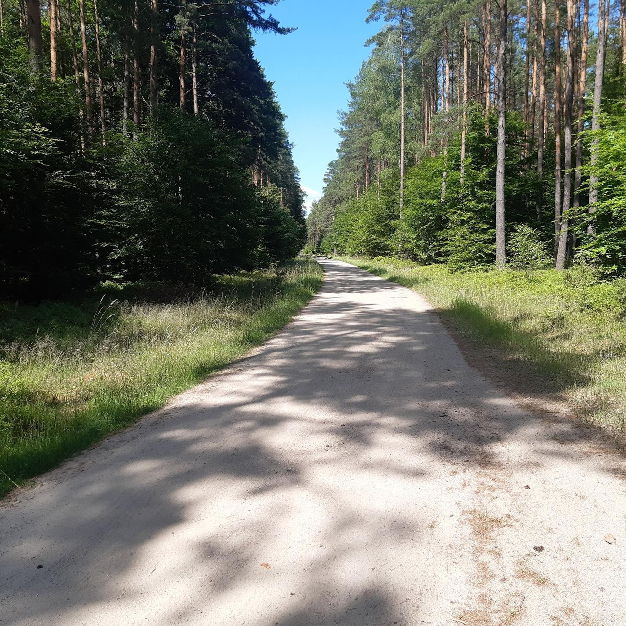
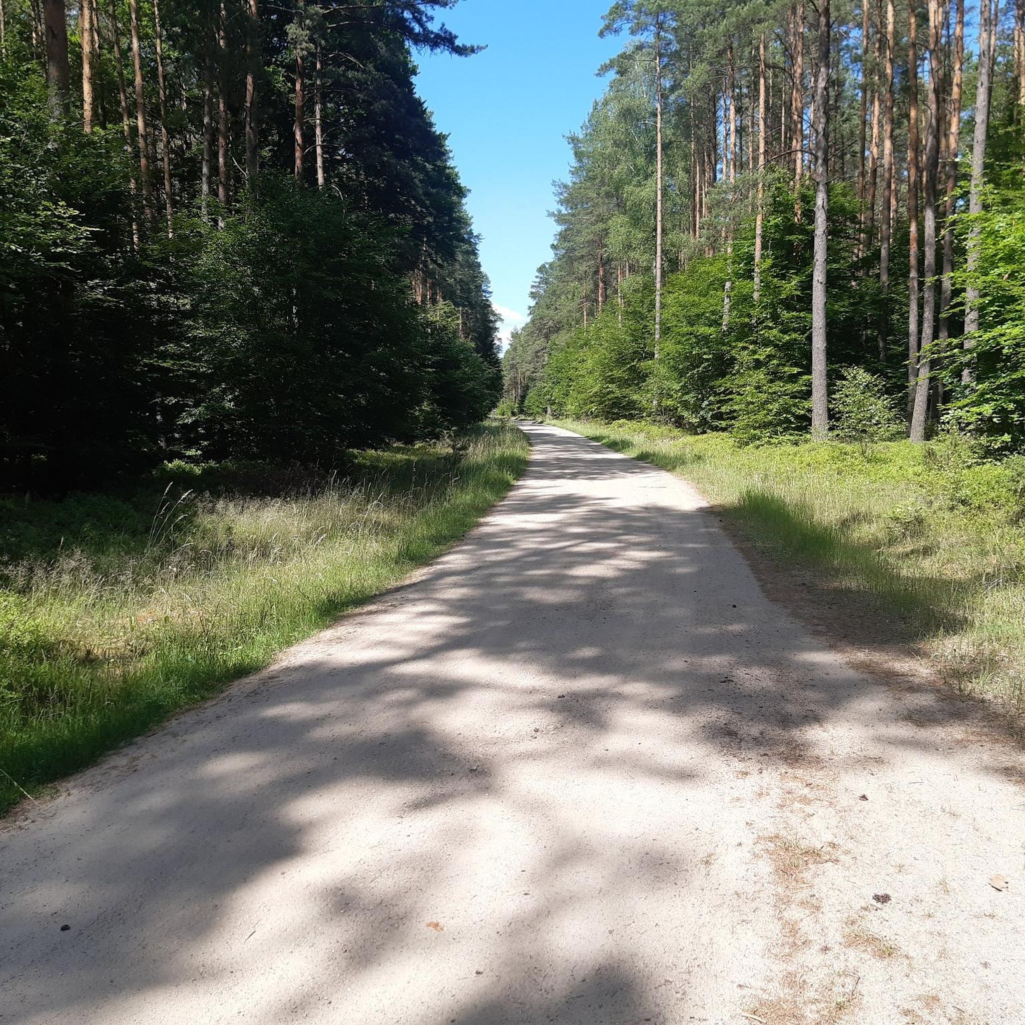
The gravel is also worth riding it. It's worth taking a camera.
3
0

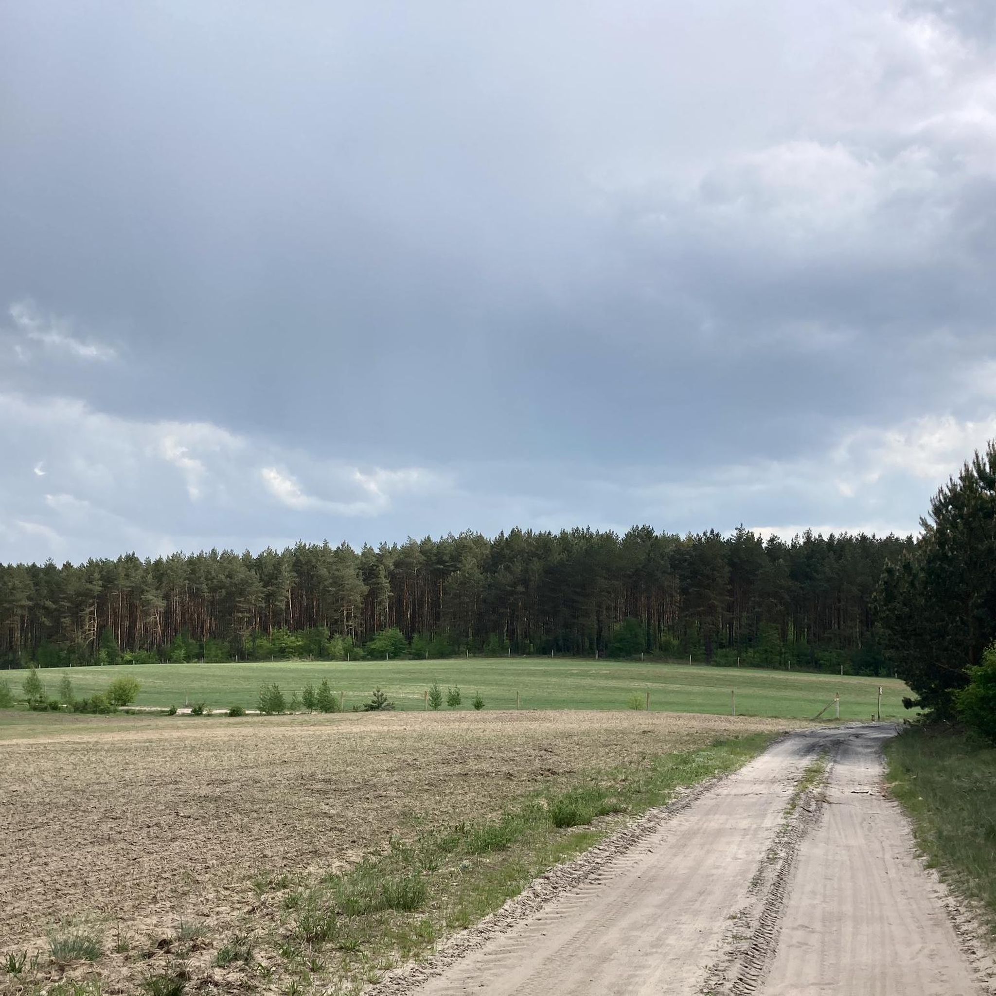
The beautiful valley. As you enter, you can be surprised by the unevenness of the terrain and its charm
2
0
It is worth stopping because the park has its charm (tree species have a specific layout)
0
0
Frequently Asked Questions
How many mountain bike trails are there in gmina Złotów?
Gmina Złotów offers a wide selection of mountain bike trails, with over 30 routes available. These include 12 easy trails and 22 moderate trails, catering to various skill levels.
What kind of terrain can I expect on mountain bike trails in Gmina Złotów?
The region features a diverse and undulating landscape, part of the Krajeńskie Lake District. You'll encounter extensive forests, numerous lakes, and varied topography, including hills like Brzuchowa Góra. Trails range from paved sections to unpaved paths, offering a dynamic riding experience.
Are there mountain bike trails suitable for beginners in Gmina Złotów?
Yes, there are 12 easy mountain bike trails in Gmina Złotów. An excellent option for beginners is the Sosnowa Góra – Platforma widokowa loop from Jastrowie, which is 17.2 km long and offers a pleasant ride through the local landscape.
Are there challenging mountain bike trails for experienced riders in Gmina Złotów?
While there are no trails officially graded as 'difficult,' Gmina Złotów offers 22 moderate mountain bike routes that provide a good challenge. These routes often feature varied terrain and longer distances. For example, the Góra Wielka Zamkowa – Debrzynka Valley loop from Złotów is a moderate 49.6 km path traversing varied terrain.
Are there circular mountain bike routes in Gmina Złotów?
Yes, many mountain bike routes in Gmina Złotów are designed as loops, allowing you to start and finish in the same location. Examples include the Sosnowa Góra – Platforma widokowa loop from Jastrowie and the Historic Park in Buczek Mały loop from Zakrzewo Złotowskie.
What natural features or landmarks can I see along mountain bike trails in Gmina Złotów?
The trails often pass through extensive forests, alongside the region's ten natural lakes (such as Sławianowskie and Zaleskie), and near rivers like the Głomia and Gwda. You might also encounter protected areas like the "Czarci Staw" and "Uroczysko Jary" nature reserves. Specific points of interest include the Ruined Railway Bridge over the Gwda River.
Are there any historical sites or points of interest accessible by mountain bike?
Yes, you can explore several historical and cultural sites. The Historic Park in Buczek Mały loop from Zakrzewo Złotowskie leads through forested areas and past historical sites. Other notable landmarks include the Half-Timbered Church in Osówka and the St. Stanislaus Kostka Church in Radawnica.
What do other mountain bikers enjoy about the trails in Gmina Złotów?
The mountain bike routes in Gmina Złotów are highly rated by the komoot community, with an average score of 4.6 stars from over 15 reviews. More than 42 mountain bikers have explored the varied terrain, often praising the diverse landscapes, extensive forests, and scenic lakeside views.
Are there any family-friendly mountain bike trails in Gmina Złotów?
Many of the 12 easy trails in Gmina Złotów are suitable for families. These routes typically have less elevation gain and cover shorter distances, making them enjoyable for riders of all ages. The extensive network of forest paths also provides safe and scenic options for family outings.
Can I bring my dog on the mountain bike trails in Gmina Złotów?
While specific regulations for dogs on trails can vary, the extensive forest areas and natural paths in Gmina Złotów generally offer opportunities for dog-friendly rides. It's always recommended to keep your dog on a leash, especially in protected areas or near wildlife, and to check local signage for any restrictions.
What are the typical distances and durations for mountain bike routes in Gmina Złotów?
Route distances vary significantly, from shorter easy loops around 17 km, like the Sosnowa Góra – Platforma widokowa loop from Jastrowie (approx. 1 hour 25 minutes), to longer moderate routes approaching 50 km, such as the Historic Park in Buczek Mały loop from Zakrzewo Złotowskie (approx. 3 hours 31 minutes).
Is there parking available near the mountain bike trails in Gmina Złotów?
Parking availability varies by trailhead. Many routes start from towns or villages where public parking may be accessible. For specific routes, it's advisable to check the route details on komoot, as users often share information about parking options in the comments or descriptions.
Most popular routes around gmina Złotów
Most popular attractions around gmina Złotów

Get inspired with the komoot mobile app


Explore more
Browse the best MTB trails in other regions.
