The best walks and hikes around gmina gmina Mirosławiec
4.5
(65)
671
hikers
30
hikes
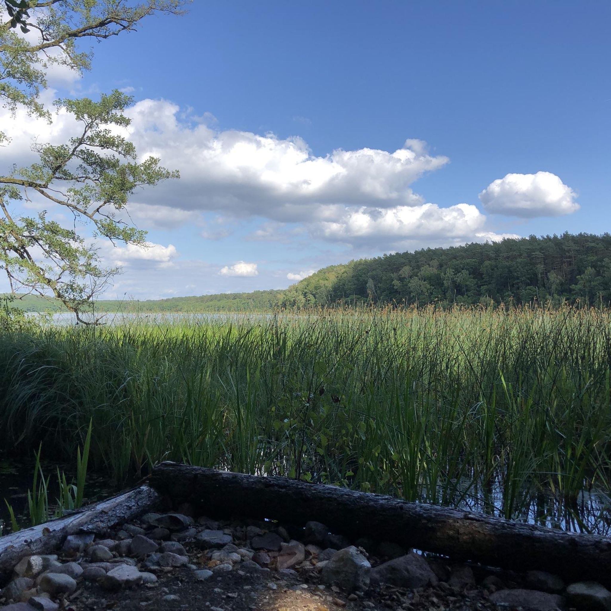
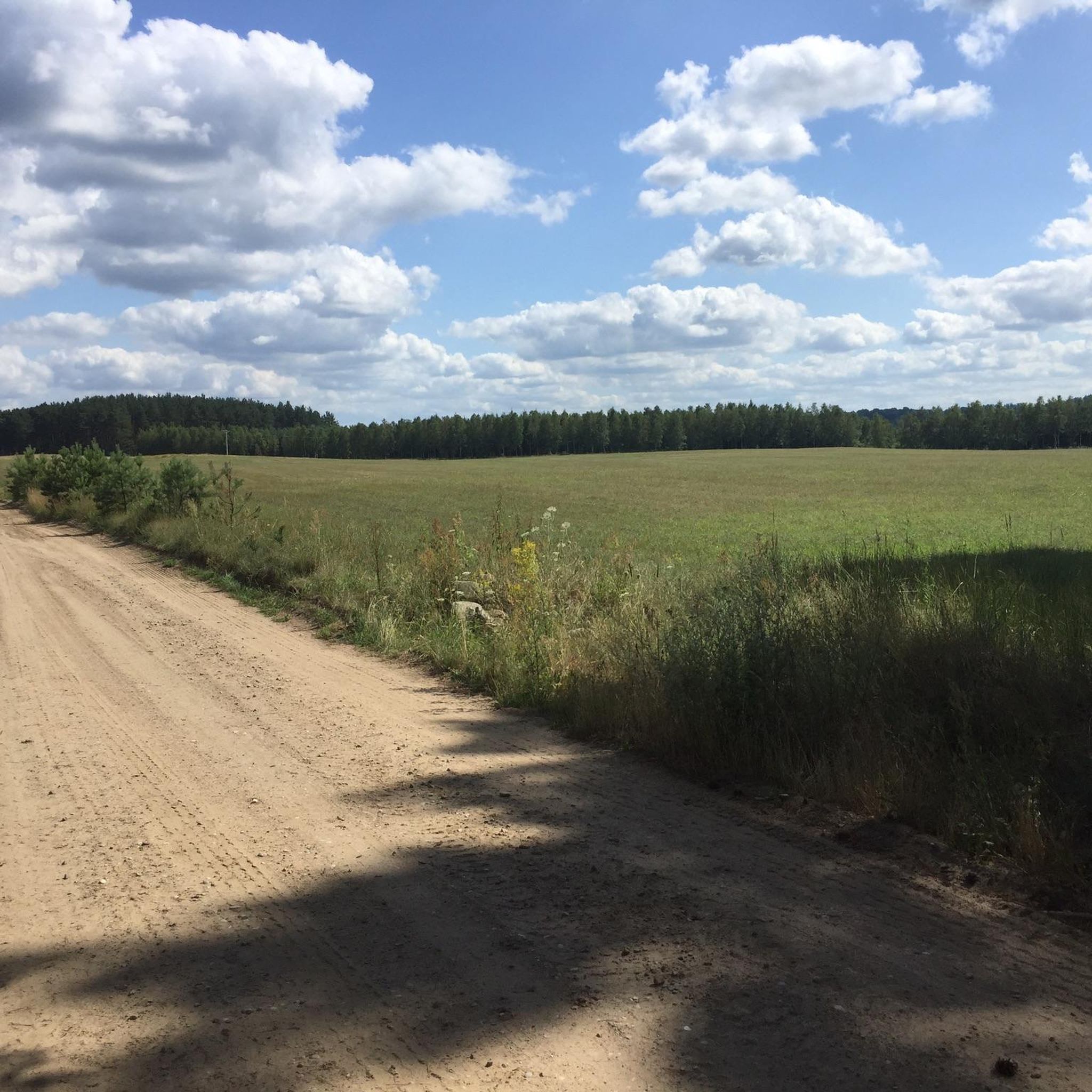
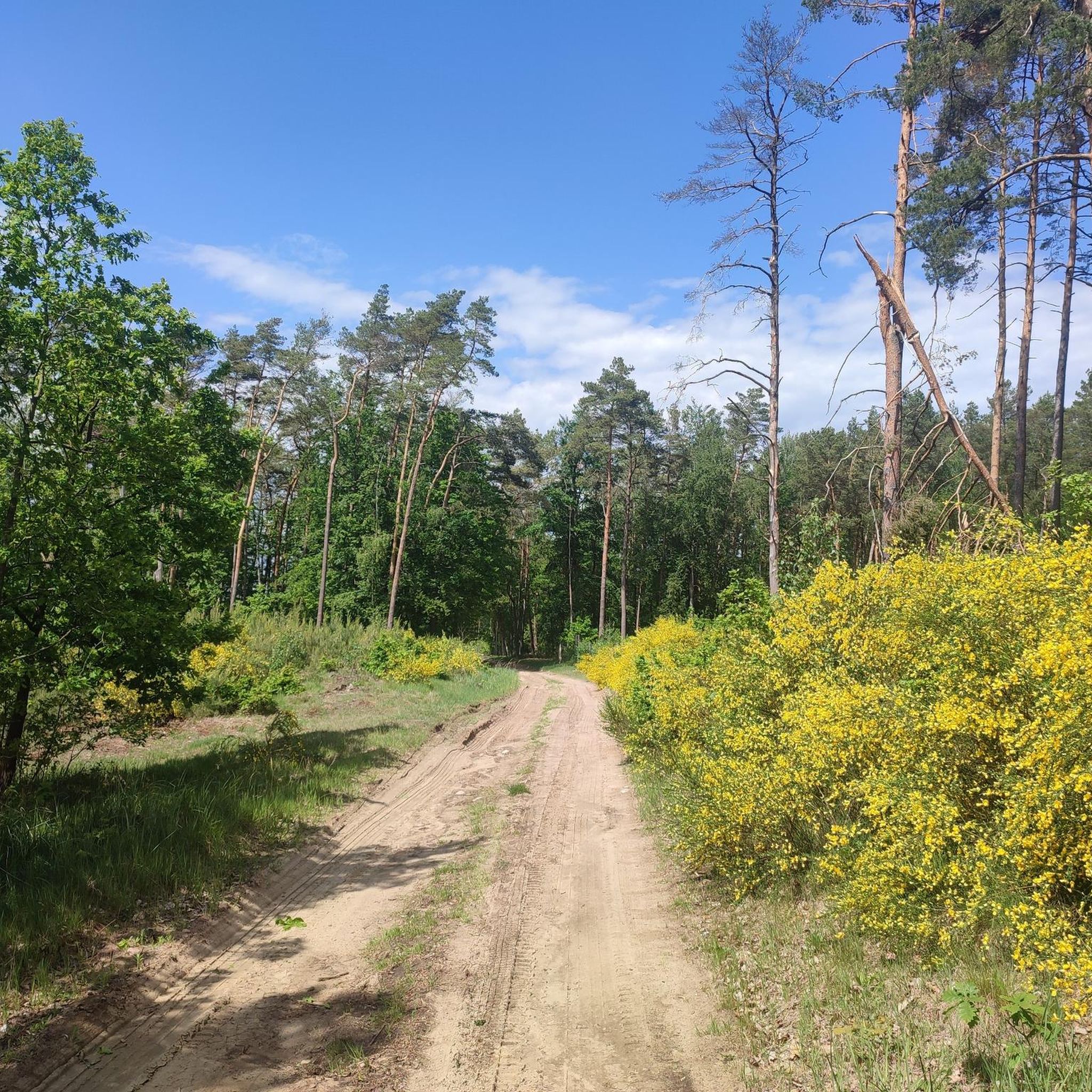
Hiking around gmina gmina Mirosławiec offers diverse landscapes, characterized by extensive forests, numerous glacial lakes, and meandering river valleys. The region is situated in the southern part of the Pomeranian Lake District, providing varied terrain for outdoor activities. Natural features include vast forest areas and significant bodies of water like Lake Bytyń Wielki, contributing to the area's ecological diversity.
Best hiking trails around gmina gmina Mirosławiec
- The most popular hiking route is Historic Water Tower – Radun Lake Loop Trail…
Last updated: July 11, 2026
4.9
(27)
180
hikers
7.85km
02:02
40m
40m
Moderate hike. Good fitness required. Easily-accessible paths. Suitable for all skill levels.
28
hikers
3.58km
00:58
50m
50m
Easy hike. Great for any fitness level. Easily-accessible paths. Suitable for all skill levels.

Sign up for free
5.0
(2)
25
hikers
9.84km
02:34
70m
70m
Moderate hike. Good fitness required. Easily-accessible paths. Suitable for all skill levels.
20
hikers
5.69km
01:30
50m
50m
Easy hike. Great for any fitness level. Easily-accessible paths. Suitable for all skill levels.
19
hikers
5.21km
01:23
50m
50m
Easy hike. Great for any fitness level. Easily-accessible paths. Suitable for all skill levels.
Get access to more routes and recommendations from other explorers.
Sign up for free
Already have an account?
Our route recommendations are based on thousands of hikes, rides, and runs completed by other people on komoot.
Start today with a free account
Your next adventure awaits.
Login or Signup

Tips from the Community

It fits beautifully into the landscape. There is a walking and cycling path nearby.
0
0

Any nature and recreation area of the residents of the town of Walcz.
2
0
This approximately 8 km long circular trail on Lake Radun is only a small section. There is a beautiful circular route over a bridge trail.
2
0
Frequently Asked Questions
How many hiking trails are available in Gmina Mirosławiec?
Gmina Mirosławiec offers a diverse network of over 20 hiking trails. These include 17 easy routes and 5 moderate trails, catering to various fitness levels and preferences.
Are there easy hiking trails suitable for families in Gmina Mirosławiec?
Yes, there are many easy trails perfect for families. For instance, the Arboretum Morzycówka loop from Bukowina is an easy 5.7 km path showcasing local flora. The Green Hiking Trail (Nakielno - Próchnowo) is another relatively easy 13.18 km linear trail, primarily traversing the forest areas of the "Wielki Bytyń" nature reserve.
Can I find circular hiking routes in Gmina Mirosławiec?
Yes, many routes in the region are designed as loops. A popular option is the Historic Water Tower – Radun Lake Loop Trail loop from Bukowina, which is 7.9 km long. The "Mirosławiecka Pętla" (Mirosławiec Loop) blue hiking trail is another example of a circular route mentioned in the region.
Where can I see European bison while hiking in Gmina Mirosławiec?
Gmina Mirosławiec is home to the largest free-ranging herd of European bison in the West Pomeranian Voivodeship. You have the best chance of spotting these magnificent creatures in the Mirosławiec Forest Inspectorate areas and open spaces like clearings and meadows. The Żubrowy (Bison) Yellow Trail is specifically designed to highlight this unique wildlife, and it passes by the "Dzika Zagroda" (Wild Homestead) in Jabłonowo, where you can learn more about the local bison population.
What natural attractions can I explore along the hiking trails?
The region is rich in natural beauty. You can explore vast forest areas, numerous glacial lakes, and meandering river valleys. Notable lakes include Bytyń Wielki Lake, offering scenic resting spots, and Zamkowe Lake in Wałcz, known for recreation. The varied terrain also features incised river valleys and peat bogs, adding to the ecological diversity.
Are there any historical or cultural points of interest along the routes?
Yes, the region offers some cultural and historical points. For example, the Żubrowy (Bison) Yellow Trail leads to Toporzyk, where an 18th-century wooden church can be admired. The Kalisz Pomorski - 14th-century castle loop from Kalisz Pomorski takes you through the town, where you can see the Town church in Kalisz Pomorski. Additionally, the Museum of the Battles for the Pomeranian Wall in Mirosławiec offers insights into local history.
What do other hikers enjoy most about hiking in Gmina Mirosławiec?
The hiking experiences in Gmina Mirosławiec are highly rated by the komoot community, with an average score of 4.8 stars from over 60 reviews. Hikers often praise the diverse landscapes, including extensive forests and numerous glacial lakes, as well as the well-developed network of marked trails that cater to various fitness levels.
Are there any trails that offer views of lakes?
Absolutely. Many trails in Gmina Mirosławiec feature lakes. The Historic Water Tower – Radun Lake Loop Trail loop from Bukowina offers beautiful views of Radun Lake. The Żubrowy (Bison) Yellow Trail also provides opportunities to rest by Bytyń Wielki Lake in Drzewoszewo.
What is the best time of year to go hiking in Gmina Mirosławiec?
The region's diverse landscapes, with forests and lakes, are beautiful throughout the warmer months. Spring and autumn offer pleasant temperatures and vibrant scenery, while summer is ideal for combining hiking with water activities on the lakes. The marked trails are generally accessible for pedestrians, cyclists, and Nordic walking enthusiasts for much of the year.
Are there any trails that are also suitable for cycling?
Yes, many trails in Gmina Mirosławiec are multi-use. The Mirosławieckie Lasy (Mirosławiec Forests) Cycling Path, approximately 22 km long, goes through environmentally valuable areas and features educational boards. While primarily for cycling, many paths are accessible for pedestrians and Nordic walking enthusiasts as well, allowing for shared enjoyment of the natural environment.
Are there any facilities or resting places along the trails?
Yes, the region's trails often include designated resting places. For example, the Żubrowy (Bison) Yellow Trail offers opportunities to rest by Bytyń Wielki Lake in Drzewoszewo. The Mirosławieckie Lasy Cycling Path also features designated resting spots. Additionally, you can find facilities like Rest Area at Mały Raduń Lake and camping options like Inter Nos Island Camping near some of the lakes.
Most popular routes around gmina gmina Mirosławiec
Most popular attractions around gmina gmina Mirosławiec

Get inspired with the komoot mobile app


Explore more
Browse the best Hikes in other regions.
