The best running trails around Avelãs De Cima
3.8
(4)
253
runners
18
runs
Jogging around Avelãs De Cima offers diverse natural landscapes and a serene environment for runners. The region features extensive forest areas, providing shaded paths and a refreshing atmosphere for outdoor exercise. Its varied topography includes gentle slopes and more challenging inclines, with elevations ranging from 6 meters to 394 meters. Agricultural plots and the presence of the Cabria Mountain River also contribute to the varied scenery along running routes.
Best jogging routes around Avelãs De Cima
- The most popular jogging…
Last updated: June 28, 2026
22
runners
33.1km
04:04
750m
750m
Hard run. Very good fitness required. Mostly paved surfaces. Suitable for all skill levels.
10
runners
Hard run. Very good fitness required. Mostly accessible paths. Some sure footedness required.

Sign up for free
9
runners
14.5km
01:38
140m
140m
Moderate run. Good fitness required. Mostly paved surfaces. Suitable for all skill levels.
3.0
(1)
6
runners
6.44km
00:40
50m
50m
Moderate run. Good fitness required. Mostly paved surfaces. Suitable for all skill levels.
4
runners
5.67km
00:36
50m
50m
Moderate run. Good fitness required. Mostly paved surfaces. Suitable for all skill levels.
Get access to more routes and recommendations from other explorers.
Sign up for free
Already have an account?
Our route recommendations are based on thousands of hikes, rides, and runs completed by other people on komoot.
Start today with a free account
Your next adventure awaits.
Login or Signup

Tips from the Community

Highest point of Serra do Caramulo.
1
0

in good weather you can see the sea
3
1

The Oliveira do Bairro Parish Church, built in the 17th century and renovated in the 19th century, stands out for its baroque interior with gilded altarpieces and sacred images, including Saint Michael the Archangel and the Virgin of the Rosary.
0
0
Beautiful little chapel in Oliveira do Bairro. It is close to the new cemetery and can be easily seen as you walk along the street.
0
0
Beautiful dam located in the parish of Moita. The site offers a picnic area, as well as a children's playground and barbecue area. Great stopping point.
0
0
The main square in Anadia is named after António Luís de Seabra, the Viscount of Seabra. Despite his connection with Anadia, the Viscount was born on board a ship that sailed near Cape Verde. In addition to a statue in his honor, the square houses Anadia's court.
2
0

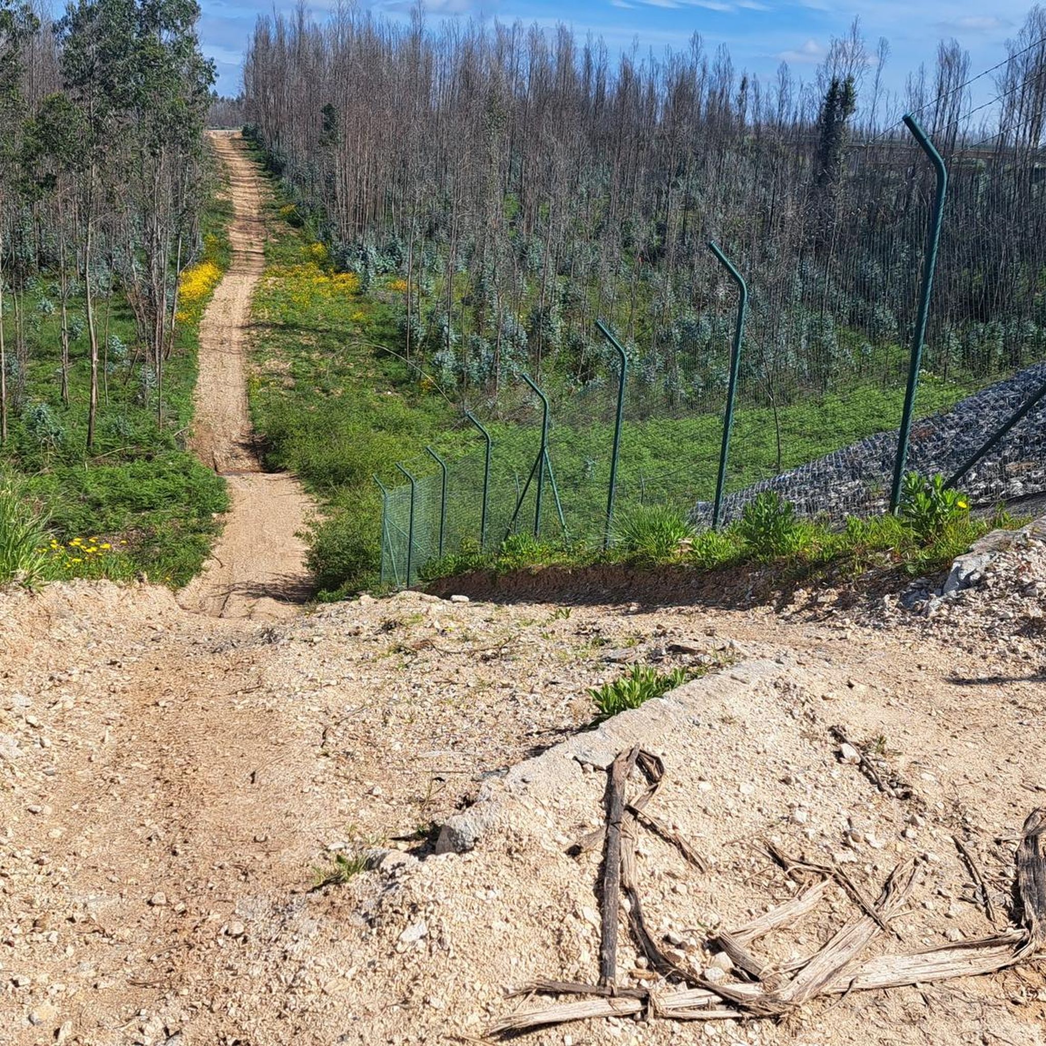
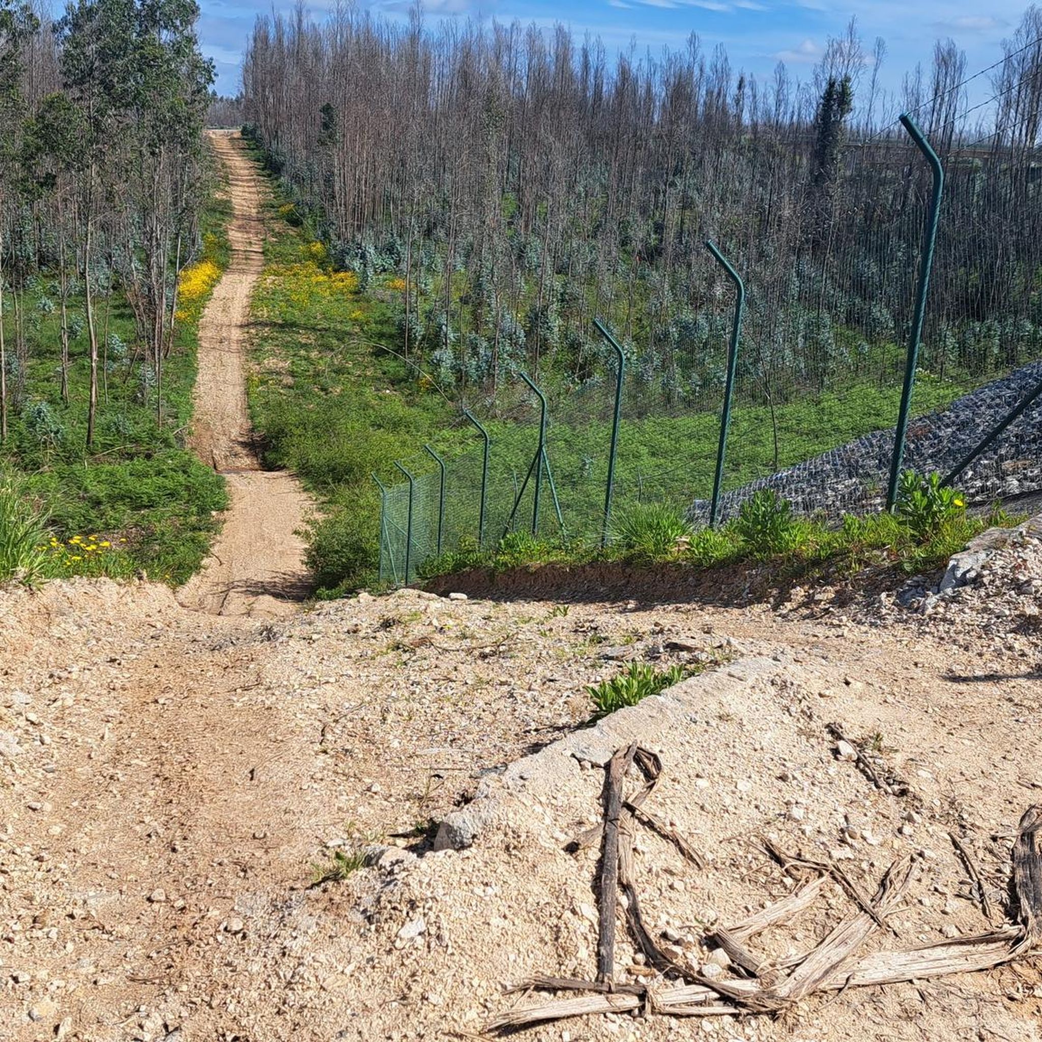
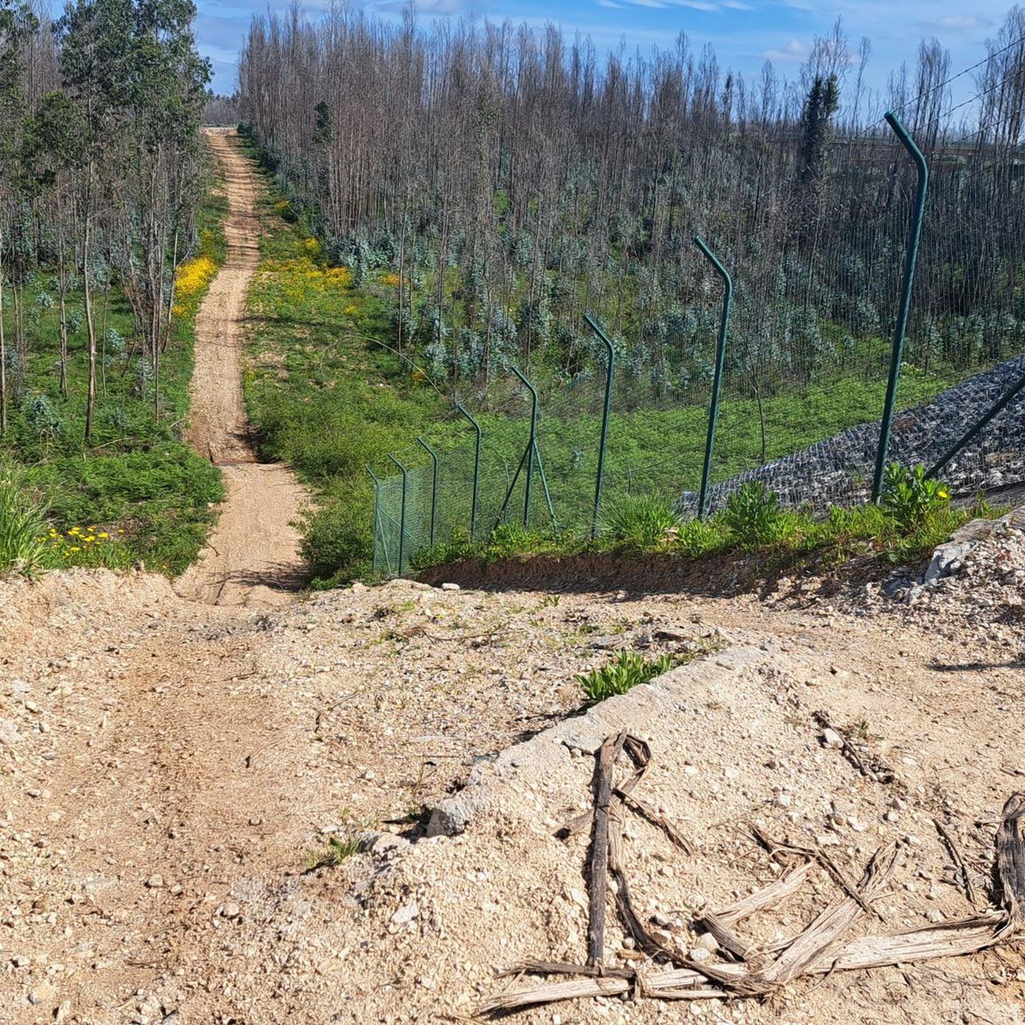
The road surface from the north is good until this point - from the south gravel
2
0
Frequently Asked Questions
How many running routes are available in Avelãs De Cima?
Avelãs De Cima offers a selection of 17 running routes, catering to various preferences and fitness levels. These routes explore the region's diverse natural landscapes, including extensive forests and varied terrain.
What kind of terrain can I expect on running trails in Avelãs De Cima?
Runners in Avelãs De Cima will encounter a diverse landscape, from extensive forest areas offering shaded paths to open agricultural plots. The region's varied topography includes both gentle slopes and more challenging inclines, with elevations ranging from 6 meters to 394 meters. You might also find routes near the Cabria Mountain River, adding to the scenic variety.
Are there any challenging running routes for experienced runners in Avelãs De Cima?
Yes, Avelãs De Cima features several challenging routes. For instance, the Barragem da Gralheira loop from Anadia is a difficult 20.3-mile (32.6 km) trail with significant elevation gain. Another demanding option is the View from Caramulo Summit loop from Capela de São João, a 16.7-mile (26.9 km) path offering expansive views from higher elevations.
What do other runners enjoy most about jogging in Avelãs De Cima?
The running routes in Avelãs De Cima are highly rated by the komoot community, with an average score of 3.8 stars from 4 reviews. Runners often praise the diverse natural landscapes, the serene environment, and the variety of terrain that allows for different intensities of exercise.
Are there any circular running routes in the Avelãs De Cima area?
Yes, many of the running routes in Avelãs De Cima are designed as loops. Examples include the challenging Barragem da Gralheira loop from Anadia and the scenic Moinho loop from Aguada de Cima, which is a moderate 9.0-mile (14.5 km) trail.
What landmarks or points of interest can I see while running near Avelãs De Cima?
While running in the region, you can explore several interesting landmarks. The area is near the Buçaco mountain range, home to the historic Buçaco Palace Hotel. Other notable sights include the Cruz Alta Viewpoint, offering panoramic vistas, and the tranquil Pateira de Espinchel lake.
Are there any moderate running options for those looking for a less strenuous workout?
Absolutely. Avelãs De Cima offers 14 moderate running routes. A good option is the Running loop from Anadia, a 6.4-kilometer (4.0-mile) route that provides a pleasant run without extreme elevation changes. Another moderate choice is the Chapel of Saint Sebastian loop from Oliveira do Bairro, covering 5.7 kilometers (3.5 miles).
What are the best times of year to go running in Avelãs De Cima?
The extensive forest areas in Avelãs De Cima provide shaded paths, making it pleasant for running during warmer months. The region's natural beauty, with its vibrant vegetation of broom, heather, and gorse, is particularly appealing in spring and early summer. Autumn also offers beautiful scenery as the foliage changes.
Can I find running routes that pass through forests in Avelãs De Cima?
Yes, Avelãs De Cima is known for its extensive forest areas, which offer shaded and refreshing paths ideal for running. Many routes will take you through these rich woodlands, providing a serene natural backdrop for your exercise.
Are there any running trails that offer views of water features?
The region benefits from the presence of the Cabria Mountain River, an affluent of the Cértima River. While specific paths directly along these rivers aren't detailed, the general presence of water often enhances the tranquility and aesthetic of outdoor activities, and some routes may offer glimpses or proximity to these natural water features.
What is the average elevation gain on running routes in Avelãs De Cima?
The topography of Avelãs De Cima is quite varied, with elevations ranging from 6 meters to 394 meters. This means you can find routes with gentle slopes and minimal elevation gain, as well as more challenging trails like the Barragem da Gralheira loop from Anadia, which features over 700 meters of ascent.
Most popular routes around Avelãs De Cima
Most popular attractions around Avelãs De Cima

Get inspired with the komoot mobile app


Explore more
Browse the best Running Trails & Routes in other regions.
