The best road cycling routes around Oliveirinha
4.6
(98)
3,499
riders
16
rides
Road cycling routes around Oliveirinha traverse a landscape characterized by rolling hills, extensive olive groves, and green valleys within Portugal's Aveiro District. The region offers diverse terrain, from serene rural roads winding through authentic villages to paths alongside rivers like the Mondego. A notable feature for cyclists is the Ecopista do Dão, a converted railway line providing a dedicated, scenic route.
Best road cycling routes around Oliveirinha
- The most popular road cycling route is Caramulinho Peak – Caramulinho Summit loop…
Last updated: October 18, 2026
5.0
(1)
73
riders
122km
06:10
1,870m
1,870m
Hard road ride. Very good fitness required. Mostly well-paved surfaces and easy to ride.
29
riders
47.6km
02:09
360m
360m
Moderate road ride. Good fitness required. Mostly well-paved surfaces and easy to ride.

11
riders
99.2km
04:40
1,020m
1,020m
Hard road ride. Very good fitness required. Mostly well-paved surfaces and easy to ride.
5.0
(1)
15
riders
116km
05:41
1,450m
1,450m
Hard road ride. Very good fitness required. Some segments of this route may be unpaved and difficult to ride.
13
riders
47.1km
02:06
310m
310m
Moderate road ride. Good fitness required. Mostly well-paved surfaces and easy to ride.
Get access to more routes and recommendations from other explorers.
Already have an account?
Our route recommendations are based on thousands of hikes, rides, and runs completed by other people on komoot.
Start today with a free account
Your next adventure awaits.

Tips from the Community

It is integrated into the AgitÁgueda festival and every year includes new urban art initiatives, installations of the "umbrella sky project". In order to enjoy the region / Águeda, look for wine tourism experiences at Adega Centenária Malápio. The mandatory stop on your adventures! They support the cycling and pedestrian community that explores the region. You can taste the "talha" wines of Bairrada and snacks, "sandes de leitão da bairrada" or the iconic "leitão da bairrada". Plan your route, cycle/walk and take a break at Adega Malapio. It also offers experiences with bicycles on the rice paddy trails and Pateira de Fermentelos, 4x4 tours, buggy rides, horseback riding, "bateira" rides on Pateira de Fermentelos.
1
0

Dona Teresa was an important historical figure of Portugal, who ruled as Countess of the Portucalense County and called herself Queen from 1117. She was the mother of the 1st King D. Alfonso Henriques.
1
0
A nice idea. When I visited here, it was raining heavily. So the streets full of umbrellas had a special meaning.
1
0

The Cross of São Domingos (also known as Cruzeiro de São Domingos or Cruzeiro de Nossa Senhora da Glória) is an ornate, late Gothic stone cross from the late 15th century. It is located protected in the vestibule (Galilé) of the Cathedral of Aveiro (Sé Catedral de Aveiro / Igreja de São Domingos).Interesting facts about the cross:Origin: It comes from a workshop in Coimbra.
3
0

Spectacular view over the river.
1
0

In the past, this bridge was used to be used to ask for the hand of the beloved (engagement bridge).
4
0

Located on the São Roque canal, the Carcavelos Bridge was built in 1953 to replace the original bridge, which collapsed 11 years earlier. It was a mandatory crossing point for workers on the Sal River. It is one of the oldest and most emblematic bridges in Aveiro. It was built over the São Roque canal. Yellow, adorned with balusters and the city's coat of arms (the eagle represents the symbol of Aveiro), the Carcavelos Bridge can be visited during a stroll through the typical Beira-Mar neighborhood or on one of the many boat tours along the estuary. (www.turismo.portugal.com)
11
0

The most beautiful of the bridges.
2
0
Frequently Asked Questions
How many road cycling routes are available around Oliveirinha?
There are over 15 road cycling routes around Oliveirinha, offering a diverse range of experiences. These routes cater to various skill levels, from easy rides through rural landscapes to challenging climbs in the rolling hills.
Are there any easy road cycling routes suitable for beginners or families in Oliveirinha?
Yes, Oliveirinha offers several easy road cycling routes perfect for beginners or families. The region's serene rural scenery and green valleys provide a gentle backdrop. For a dedicated, scenic, and relatively flat path, consider exploring sections of the Ecopista do Dão, a converted railway line that runs from Viseu to Santa Comba Dão.
What kind of terrain can I expect on road cycling routes in Oliveirinha?
The road cycling routes around Oliveirinha are characterized by diverse terrain. You'll encounter rolling hills, extensive olive groves, and green valleys. Some routes offer significant climbs, while others traverse flatter sections, especially along river areas or converted railway lines like the Ecopista do Dão.
Are there any challenging road cycling routes with significant climbs?
Absolutely. For experienced cyclists seeking a challenge, Oliveirinha offers routes with significant elevation gain. A notable difficult route is the Caramulinho Peak – Caramulinho Summit loop from Quintans, which covers 76.2 miles (122.6 km) and features substantial climbing towards mountain summits.
What are some scenic highlights or viewpoints along the road cycling routes?
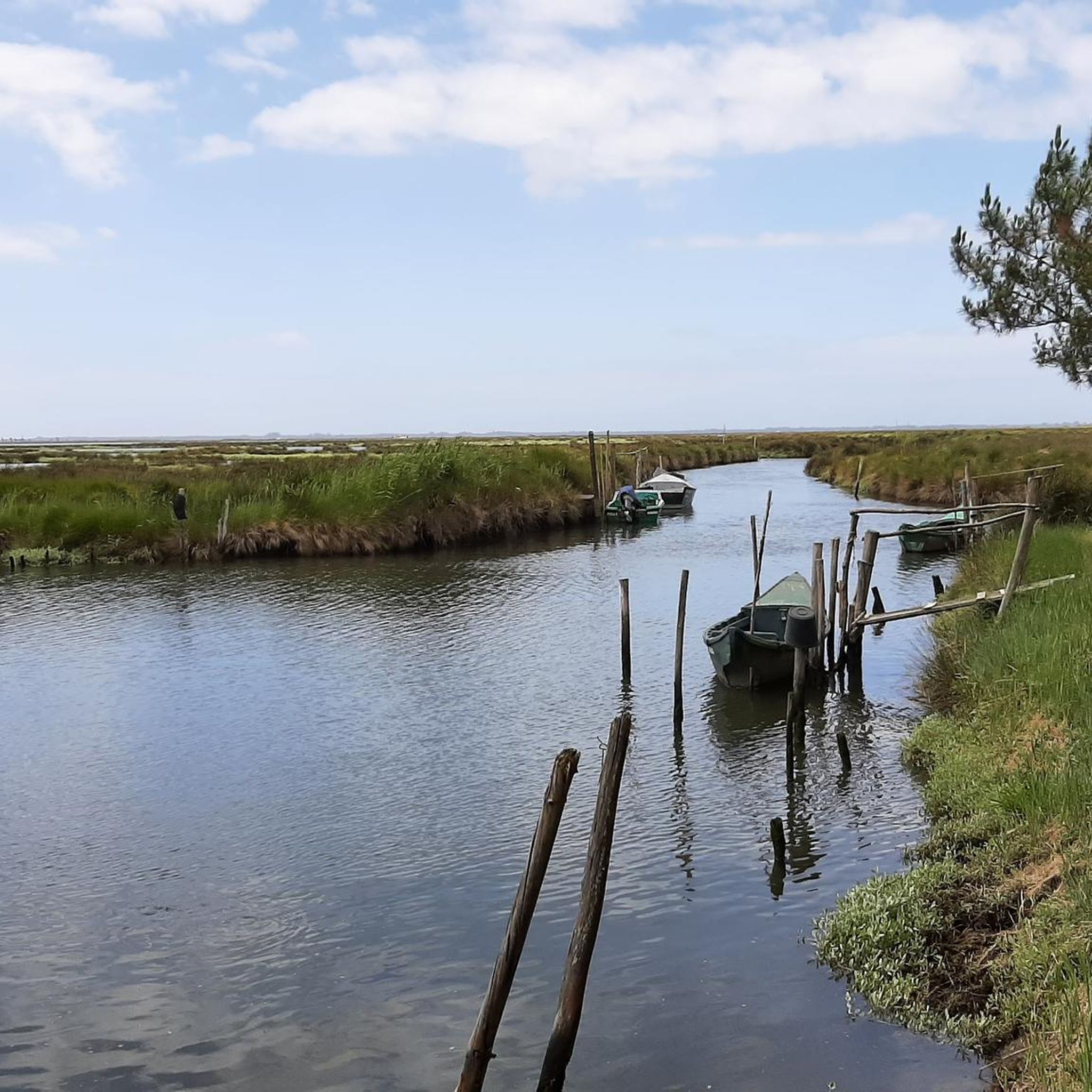
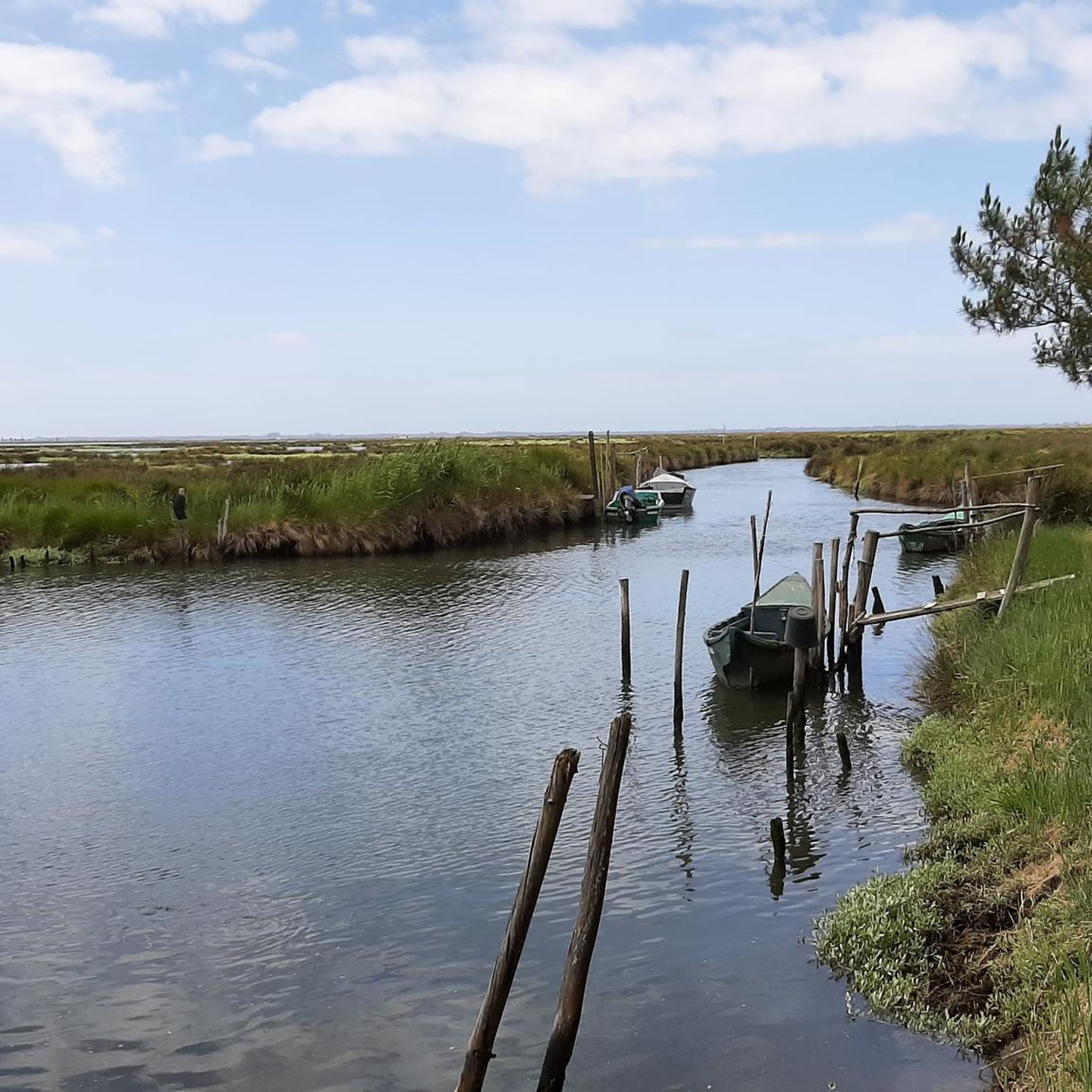
Many routes wind through picturesque olive groves and vineyards, offering beautiful rural vistas. For specific scenic points, consider routes that pass near the Ria de Aveiro, known for its unique ecosystem. You can also find views of the salt pans, such as the View of the Salt Pans, Rua do Sal, which offers a unique landscape.
Can I find loop road cycling routes in Oliveirinha?
Yes, many of the road cycling routes around Oliveirinha are designed as loops, allowing you to start and end at the same point. An example is the moderate Feira da Palhaça Mural – Varanda de Pilatos loop from Quintans, which takes you through rolling hills and rural scenery.
What do other road cyclists say about the routes in Oliveirinha?
The road cycling routes in Oliveirinha are highly rated by the komoot community, with an average score of 4.3 stars. Over 200 road cyclists have explored the varied terrain, often praising the scenic olive groves, green valleys, and the diverse options available for different skill levels.
Are there any routes that lead to nearby towns or attractions?
Yes, some routes can take you towards nearby towns. For instance, the Aveiro Old Train Station – Republic Square, Aveiro loop from Quintans is a moderate route that leads towards Aveiro, often called the 'Venice of Portugal' due to its canals and moliceiro boats. In Aveiro, you can explore attractions like the Republic Square or the Cathedral of Aveiro.
What is the best season for road cycling in Oliveirinha?
The region around Oliveirinha is generally pleasant for road cycling for much of the year. Spring and autumn offer mild temperatures and beautiful scenery. Summer can be warm, but routes along rivers or closer to the coast might provide cooler conditions. Winters are typically mild, making year-round cycling possible, though some higher elevation areas might be cooler.
Are there any natural attractions or parks accessible by road bike near Oliveirinha?
Yes, the region offers access to several natural areas. While the Serra da Estrela Natural Park is further afield, closer options include the Serra do Bussaco and the Caramulo hiking area. You can also find highlights like Espinhel Park or the Arenito de Eirol Trail, which can be incorporated into your rides.
Are there any long-distance road cycling routes available?
For those looking for longer rides, Oliveirinha offers several extensive routes. The Poço de S. Tiago Bridge – Paradela Station loop from Quintans is a challenging route spanning over 70 miles (113 km), providing a significant endurance test through varied landscapes.
Most popular attractions around Oliveirinha

Get inspired with the komoot mobile app


Explore more
Browse the best Road cycling routes in other regions.
