The best walks and hikes around Raminho
4.5
(1019)
4,901
hikers
37
hikes
Hiking around Raminho offers a diverse landscape characterized by dense forest reserves and elevated viewpoints. The region features trails that traverse varied terrain, including coastal sections and inland paths. Hikers can explore areas like the Reserva Florestal de Recreio da Mata da Serreta, providing opportunities to experience the natural environment. The elevation changes across routes offer different levels of physical engagement.
Best hiking trails around Raminho
- The most popular hiking route is Serreta Trail, a 4.1 miles (6.6 km)…
Last updated: July 8, 2026
4.6
(175)
791
hikers
6.63km
02:20
400m
400m
Hike the moderate 4.1-mile Serreta e Lagoinha circular route on Terceira Island, exploring dense forests and a volcanic lagoon.
4.4
(10)
60
hikers
7.90km
02:41
420m
410m
Moderate hike. Good fitness required. Easily-accessible paths. Suitable for all skill levels.

Sign up for free
4.7
(6)
39
hikers
14.4km
04:49
730m
730m
Moderate hike. Good fitness required. Easily-accessible paths. Suitable for all skill levels.
4.9
(7)
32
hikers
Moderate hike. Good fitness required. Easily-accessible paths. Suitable for all skill levels.
5.0
(1)
4
hikers
15.0km
04:58
700m
700m
Moderate hike. Good fitness required. Easily-accessible paths. Suitable for all skill levels.
Get access to more routes and recommendations from other explorers.
Sign up for free
Already have an account?
Our route recommendations are based on thousands of hikes, rides, and runs completed by other people on komoot.
Start today with a free account
Your next adventure awaits.
Login or Signup
Popular around Raminho
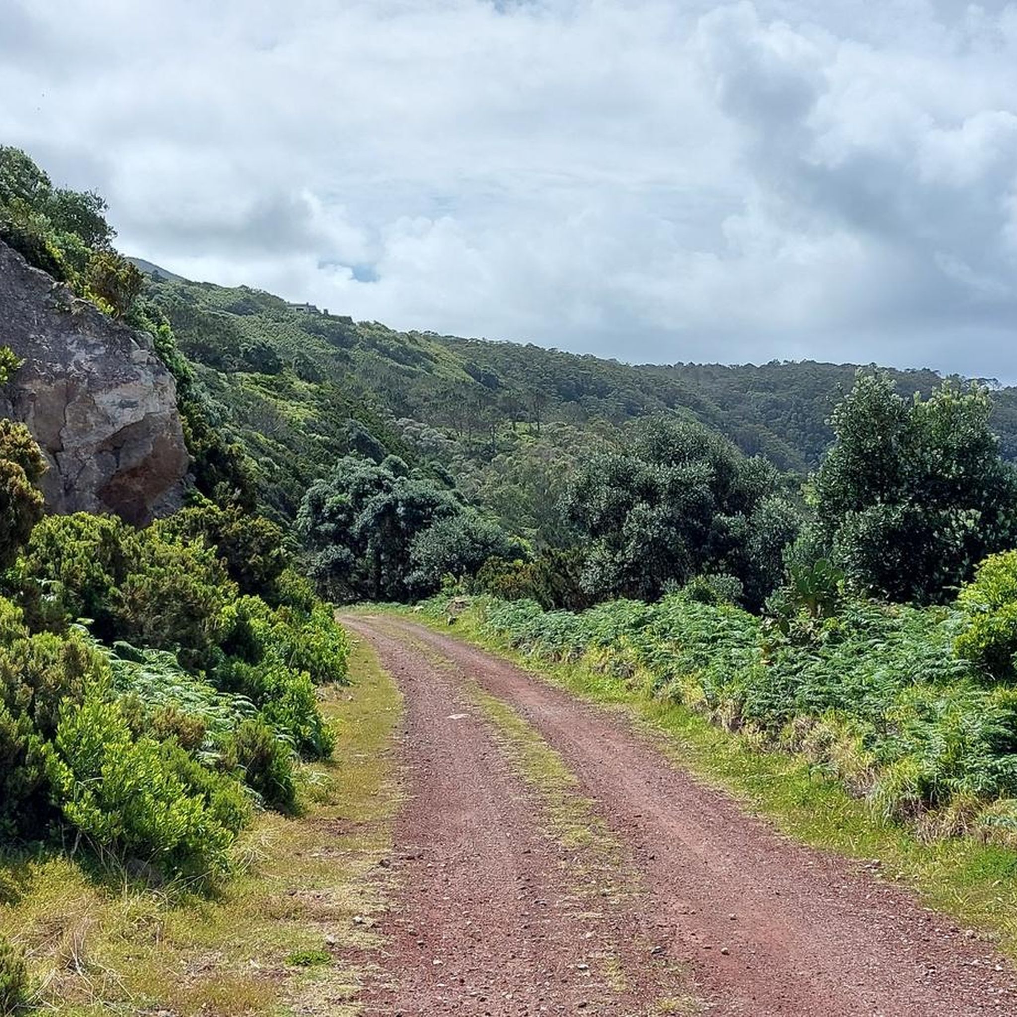
Tips from the Community

Turn off into the field beforehand and give it a wide berth. The view into the lava fissure is worthwhile; very impressive.
0
0

A worthwhile viewpoint in the northwest of Terceira. Fantastic views when the weather is good.
0
0

The name may not be extremely creative; the site, however, is highly inspiring. Lagoinha is located in a volcanic caldera at almost 800m altitude; thus making it one of the highest lagoons of all the islands in the archipelago. From this point it is possible to admire the entire landscape of abundant nature.
1
0
Small waterfall that runs along the trail that leads to Lagoinha. The vegetation of the Azores appears simultaneously equatorial and temperate, and this site is a witness to the biodiversity of Terceira.
1
0
Right at the beginning of the route that leads to Lagoinha is this nice stretch with a slightly different pavement. However, it is not just aesthetic: it helps a lot when the trail is slippery.
0
0


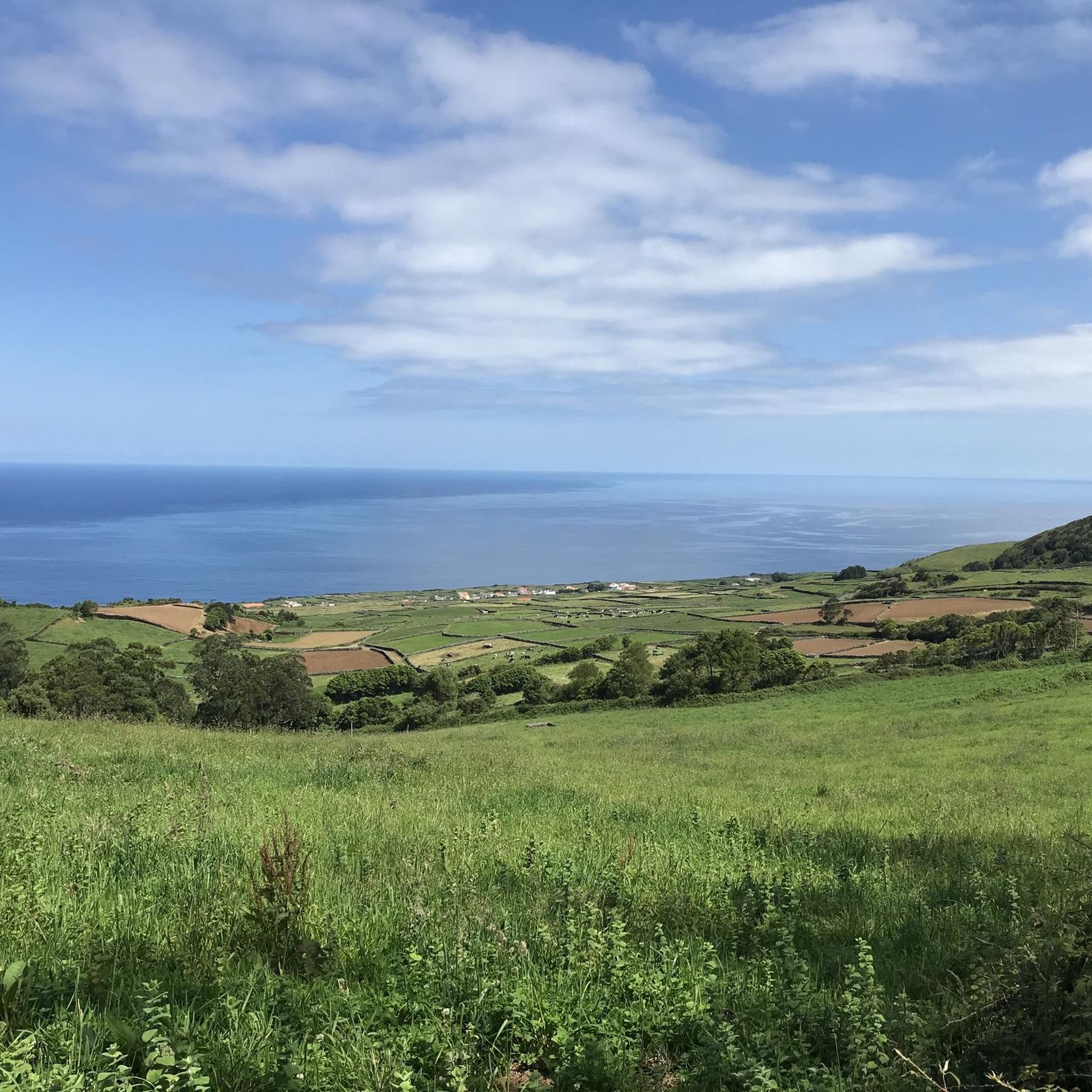
Spectacular view of the west coast of Terceira.
1
0
Frequently Asked Questions
How many hiking trails are available in Raminho?
Raminho offers a wide selection of hiking routes, with over 35 trails to explore. These range from easy walks to more challenging treks, ensuring options for various fitness levels.
Are there easy hikes suitable for beginners in Raminho?
Yes, Raminho has 13 easy hiking routes perfect for beginners or those looking for a relaxed walk. These trails typically feature less elevation gain and shorter distances, allowing for an enjoyable introduction to the region's natural beauty.
What is the best time of year to go hiking in Raminho?
The best time for hiking in Raminho is generally during the spring (April to June) and autumn (September to November) when the weather is mild and pleasant. Summers can be warm, and winters might bring more rain, though hiking is possible year-round with appropriate gear.
Are there any circular hiking routes in Raminho?
Many of Raminho's trails are designed as loops, offering varied scenery without retracing your steps. An example is the Raminho Viewpoint – Ponta do Raminho Viewpoint loop from Reserva Florestal de Recreio da Mata da Serreta, which provides a comprehensive experience of the area's viewpoints and terrain.
What kind of natural attractions can I see along the trails in Raminho?
Raminho's hiking trails often lead to captivating natural attractions. You might encounter unique geological formations like the Sulphur Furnaces, or serene bodies of water such as the Lake of the Mistérios Negros and Negro Lagoon. The region also features interesting caves like the Christmas Cave.
Are there any family-friendly hiking options in Raminho?
Yes, Raminho offers several family-friendly trails. While specific pram-accessible routes might be limited due to varied terrain, many of the easy and moderate trails are suitable for families with children. The Serreta Trail is a moderate option that winds through forested areas, offering a balanced experience for active families.
What do other hikers say about the trails in Raminho?
The hiking trails in Raminho are highly regarded by the komoot community, boasting an average rating of 4.4 stars from over 900 reviews. Hikers frequently praise the diverse landscapes, including dense forests, scenic viewpoints, and coastal sections, as well as the well-maintained paths.
Are there any less crowded hiking routes in Raminho?
While popular trails like the Serreta routes can see more foot traffic, exploring some of the longer or slightly more challenging options, or hiking during off-peak hours, can lead to a more solitary experience. The region has 37 trails in total, offering plenty of variety to find quieter paths.
What should I pack for a hike in Raminho?
When hiking in Raminho, it's advisable to pack layers of clothing suitable for changing weather conditions, sturdy hiking shoes, water, snacks, and sun protection. Given the varied terrain and potential for elevation changes, a map or GPS device is also recommended.
Are there any viewpoints along the hiking trails in Raminho?
Raminho is known for its elevated viewpoints offering panoramic vistas. Many trails incorporate these scenic spots. For example, the Ponta do Raminho Viewpoint – Fonte da Fajã loop from Reserva Florestal de Recreio da Mata da Serreta specifically highlights a prominent viewpoint, providing stunning coastal and inland views.
Can I bring my dog on the hiking trails in Raminho?
Generally, dogs are welcome on many hiking trails in Raminho, especially in natural areas. However, it's always best to keep them on a leash and check for specific regulations in protected areas like the Reserva Florestal de Recreio da Mata da Serreta to ensure a pleasant experience for everyone.
Are there public transport options to access the trailheads in Raminho?
While specific public transport routes directly to every trailhead might be limited, local bus services often connect Raminho with nearby towns. It's recommended to check local bus schedules for the Terceira island to plan your access to the general hiking areas.
Most popular routes around Raminho
Most popular attractions around Raminho

Get inspired with the komoot mobile app


Explore more
Browse the best Hikes in other regions.
