The best walks and hikes around São Bento
4.5
(1622)
7,758
hikers
51
hikes
Hiking around São Bento offers diverse trails across Terceira Island, characterized by its volcanic landscape and coastal features. The region includes hills such as Monte Brasil, providing elevated viewpoints and varied terrain. Trails often lead through natural parks and historical areas, showcasing the island's unique geology and cultural heritage.
Best hiking trails around São Bento
- The most popular hiking route is Monte Brasil — circular route on Terceira Island (PRC 4 TER), a 5.0 miles (8.1 km) trail that takes 2 hours 39 minutes to complete. This moderate route explores a volcanic cone with panoramic views.
- Another top favourite among local hikers is Passagem das Bestas — circular route on Terceira Island (PRC 07 TER), an easy 2.4 miles (3.9 km) path. This trail features a circular path through natural landscapes, often completed in 1 hour 10 minutes.
- Local hikers also love the The monuments of Angra do Heroísmo — route on Terceira Island, a 2.5 miles (4.1 km) trail leading through the historic city center and coastal areas, often completed in about 1 hour 9 minutes.
- Hiking around São Bento is defined by coastal paths, volcanic hills, and historical urban routes. The network offers options for easy, moderate, and difficult trails, catering to various ability levels.
- The routes in São Bento are highly rated by the komoot community with an average score of 4.4 stars from over 1,400 reviews. More than 7,000 hikers have used komoot to explore São Bento's varied terrain.
Last updated: July 8, 2026
4.7
(210)
973
hikers
8.05km
02:39
360m
360m
Moderate hike. Good fitness required. Easily-accessible paths. Suitable for all skill levels.
4.8
(104)
457
hikers
3.94km
01:10
110m
110m
Easy hike. Great for any fitness level. Easily-accessible paths. Suitable for all skill levels.

Sign up for free
4.2
(18)
73
hikers
4.11km
01:09
80m
80m
Easy hike. Great for any fitness level. Easily-accessible paths. Suitable for all skill levels.
4.5
(16)
84
hikers
4.10km
01:28
230m
230m
Easy hike. Great for any fitness level. Easily-accessible paths. Suitable for all skill levels.
4.8
(4)
26
hikers
6.15km
01:55
230m
230m
Easy hike. Great for any fitness level. Easily-accessible paths. Suitable for all skill levels.
Get access to more routes and recommendations from other explorers.
Sign up for free
Already have an account?
Our route recommendations are based on thousands of hikes, rides, and runs completed by other people on komoot.
Start today with a free account
Your next adventure awaits.
Login or Signup
Tips from the Community

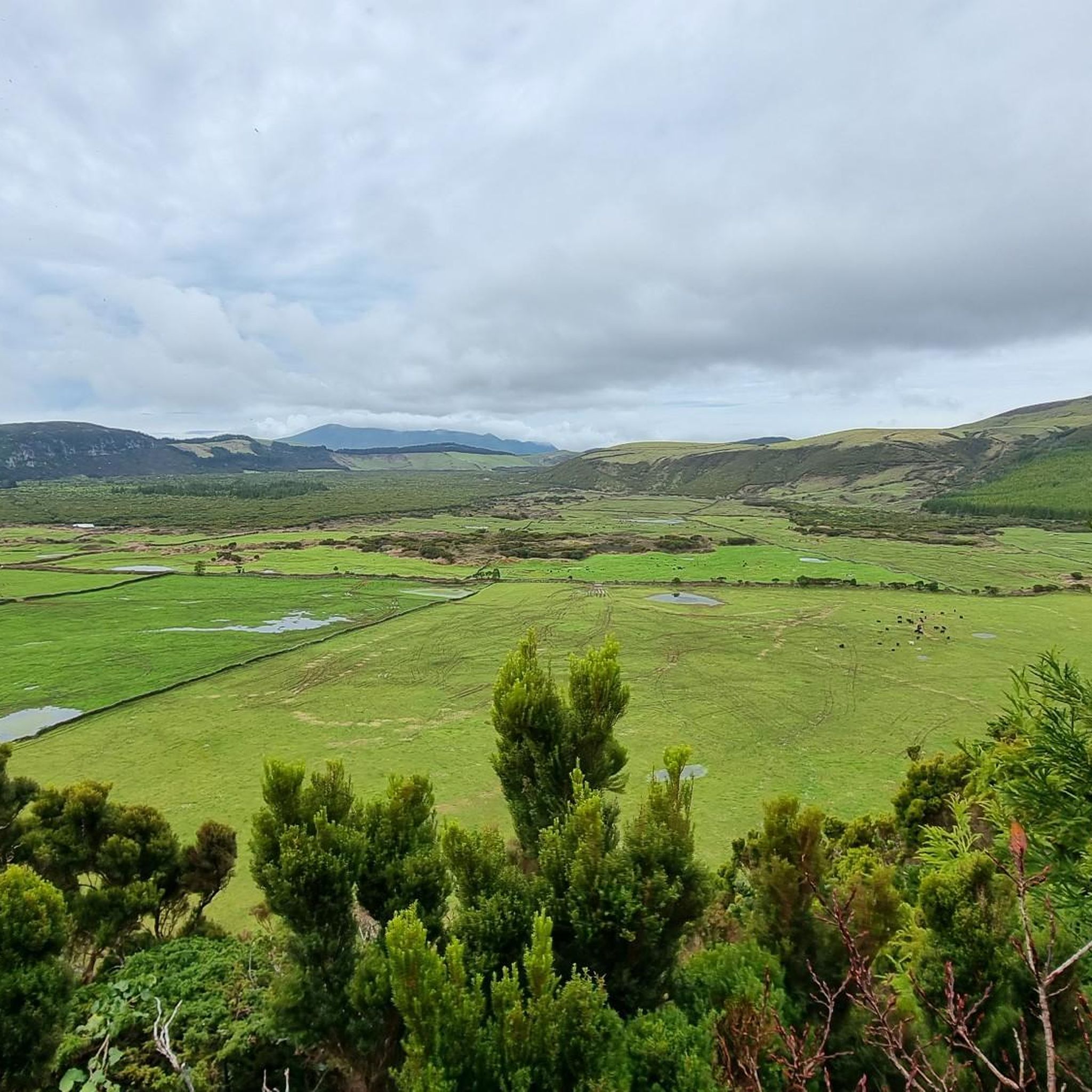
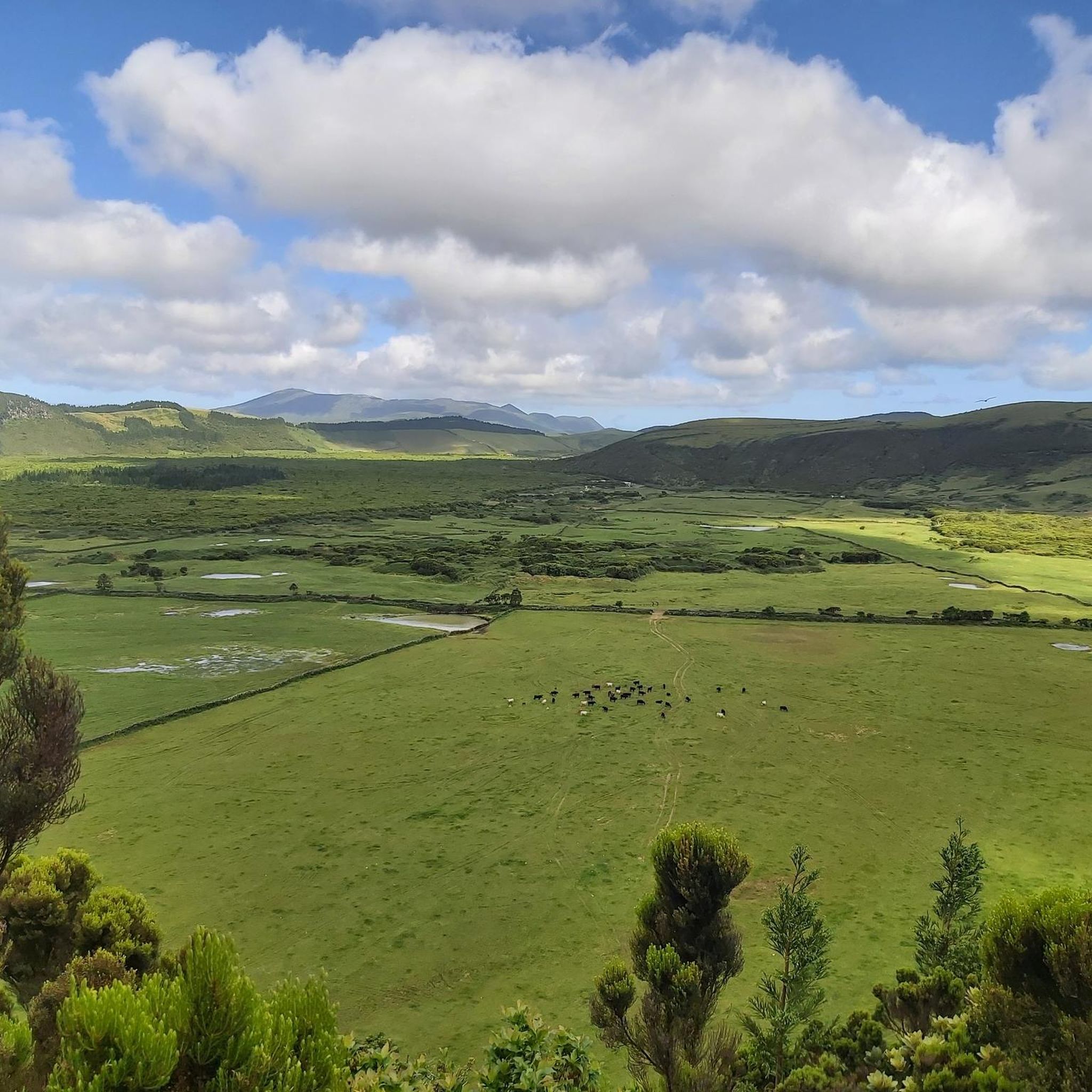
Experience with crossing cattle pastures fenced with electric wire is advantageous - great route - beautiful view - nice resting places!!!!
0
0

Beautifully landscaped garden with plenty of benches. Highly recommended.
0
0
A steep but worthwhile climb. The return path leads into the botanical garden, which is well worth seeing.
0
0
Whether by taxi or on foot, in any case you'll have a magnificent view of Angra and the surrounding area.
0
0

The trail is well marked. Some truly beautiful viewpoints!
0
0

A very diverse and large park area, which, in addition to hiking trails and viewpoints, also houses proper parks and, at the foot of the peninsula, an old fortress with ongoing military use. Picnic areas and playgrounds, in particular, were also widely used by locals. The infrastructure, including restrooms, etc., is accordingly well-developed, but don't be put off by the fact that there is also heavy car traffic on the roads; we even saw a tourist bus.
0
0
In good weather you can even see the islands of Sao Jorge and Pico
0
0
It's a beautiful hike, but I'd classify it as moderately difficult. It's quite steep uphill at one point, and the paths are very uneven.
1
0
Frequently Asked Questions
How many hiking trails are available around São Bento?
There are over 50 marked hiking trails around São Bento, catering to various skill levels. You'll find approximately 30 easy routes, 15 moderate trails, and a few more challenging options.
Are there any family-friendly hiking options near São Bento?
Yes, São Bento offers several family-friendly trails. An excellent choice is the Passagem das Bestas — circular route on Terceira Island (PRC 07 TER), which is an easy 2.4-mile (3.9 km) path, often completed in about 1 hour 10 minutes. It's a circular route through natural landscapes, suitable for most ages.
What is the best time of year for hiking in São Bento?
The Azores, including São Bento, generally have a mild climate year-round. Spring (April-June) and early autumn (September-October) are often considered ideal, offering pleasant temperatures and less rainfall. Summer can be warm and humid, while winter might bring more rain and wind, though hiking is still possible.
Are there any circular hiking routes in the São Bento area?
Yes, many trails around São Bento are circular, offering convenient starting and ending points. A popular example is the Monte Brasil — circular route on Terceira Island (PRC 4 TER), which explores a volcanic cone with panoramic views. Another is the Passagem das Bestas — circular route on Terceira Island (PRC 07 TER).
What kind of natural attractions can I see along the hiking trails?
Hiking around São Bento allows you to explore Terceira Island's unique volcanic landscape. You can encounter natural monuments like Monte Brasil, a volcanic cone, and the intriguing Sulphur Furnaces. There are also beautiful lakes such as the Lake of the Mistérios Negros and Negro Lagoon.
Are there any historical landmarks or points of interest near the trails?
Absolutely. The region is rich in history. You can hike through the historic city center of Angra do Heroísmo, a UNESCO World Heritage site, on routes like The monuments of Angra do Heroísmo — route on Terceira Island. Additionally, you might come across historical sites such as the Pico do Facho Signal Station.
What do other hikers enjoy most about the trails in São Bento?
The trails in São Bento are highly rated by the komoot community, with an average score of 4.4 stars from over 1,400 reviews. Hikers often praise the diverse landscapes, from coastal paths and volcanic hills to historical urban routes, and the panoramic views, especially from places like Monte Brasil.
Are there any trails suitable for winter hiking in São Bento?
While winter can bring more rain and wind to Terceira Island, many trails remain accessible. Lower elevation coastal paths or urban routes like The monuments of Angra do Heroísmo are often good choices. Always check local weather forecasts and trail conditions before heading out, and be prepared for potentially muddy sections.
What should I wear for hiking in São Bento during summer?
During summer, lightweight, breathable clothing is recommended. Layers are always a good idea, as weather can change. Bring a light rain jacket, even on sunny days, as showers can occur. Sturdy hiking shoes are essential for varied terrain, and don't forget sun protection like a hat, sunglasses, and sunscreen.
Is public transport available to reach hiking trailheads around São Bento?
Public transport on Terceira Island, primarily buses, connects major towns and some villages. While it might not reach every trailhead directly, it can get you close to many starting points, especially those near Angra do Heroísmo. Consider checking local bus schedules for routes that align with your chosen hike. Taxis or rental cars offer more flexibility for remote trailheads.
Where can I find parking for hiking trails in São Bento?
Parking availability varies by trailhead. For popular routes like those around Monte Brasil or near Angra do Heroísmo, designated parking areas are usually available. For more remote trails, roadside parking might be an option, but always ensure you are not blocking access or private property. It's advisable to check the specific route details on komoot for parking information.
Are there any cafes or amenities near the hiking trails?
Near urban areas like Angra do Heroísmo, you'll find plenty of cafes, restaurants, and shops. For trails in more natural or rural settings, amenities might be scarce. It's always a good idea to carry enough water and snacks, especially for longer hikes. Some popular trailheads might have small kiosks or picnic areas.
Most popular attractions around São Bento

Get inspired with the komoot mobile app


Explore more
Browse the best Hikes in other regions.
