The best road cycling routes around Geiersnest Ost
4.5
(70)
1,272
riders
74
rides
Road cycling routes around Geiersnest Ost are set within an entirely forested, uninhabited area of the Bavarian Rhön mountains. This region is characterized by its heavily wooded terrain and a varied landscape, including the distinctive Kuppenrhön with numerous conical hills. Situated at an altitude of approximately 510 meters, the area offers diverse terrain suitable for road cycling, with routes often featuring scenic views and natural beauty. The highest point, Burkhartsberg, reaches 502 meters above sea level, contributing to the region's…
Last updated: July 1, 2026
4.8
(10)
227
riders
95.0km
04:57
1,670m
1,670m
Hard road ride. Very good fitness required. Mostly well-paved surfaces and easy to ride.
5.0
(2)
43
riders
50.7km
02:46
840m
840m
Moderate road ride. Good fitness required. Some segments of this route may be unpaved and difficult to ride.

Sign up for free
5.0
(5)
29
riders
53.3km
02:33
680m
680m
Moderate road ride. Good fitness required. Mostly well-paved surfaces and easy to ride.
20
riders
60.2km
03:12
1,160m
1,160m
Hard road ride. Very good fitness required. Mostly well-paved surfaces and easy to ride.
5.0
(1)
13
riders
38.3km
01:51
540m
540m
Moderate road ride. Good fitness required. Mostly well-paved surfaces and easy to ride.
Get access to more routes and recommendations from other explorers.
Sign up for free
Already have an account?
Our route recommendations are based on thousands of hikes, rides, and runs completed by other people on komoot.
Start today with a free account
Your next adventure awaits.
Login or Signup
Tips from the Community

The Arnsberg is located northwest of the Kreuzberg in the Bavarian Rhön. It is a striking and widely visible mountain, 842 m high, which belongs to the natural region of the Hohe Rhön.
1
0

The Kursaal building, dating from 1830, is one of the most important buildings in the state spa of Brückenau.
6
0

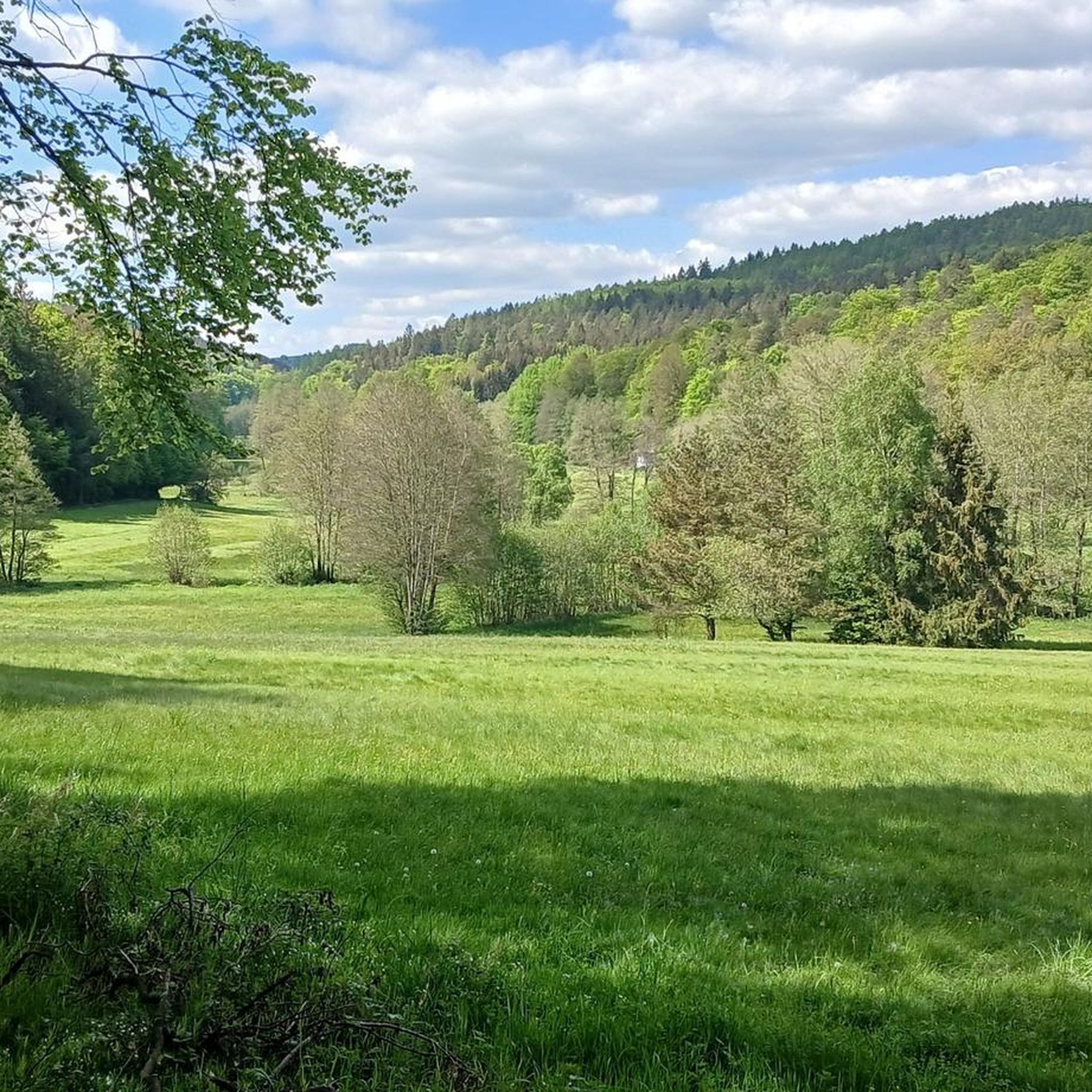
A great view of the Arnsberg, which unfortunately isn't accessible by road bike. But there are other bikes and hiking boots available.
0
0
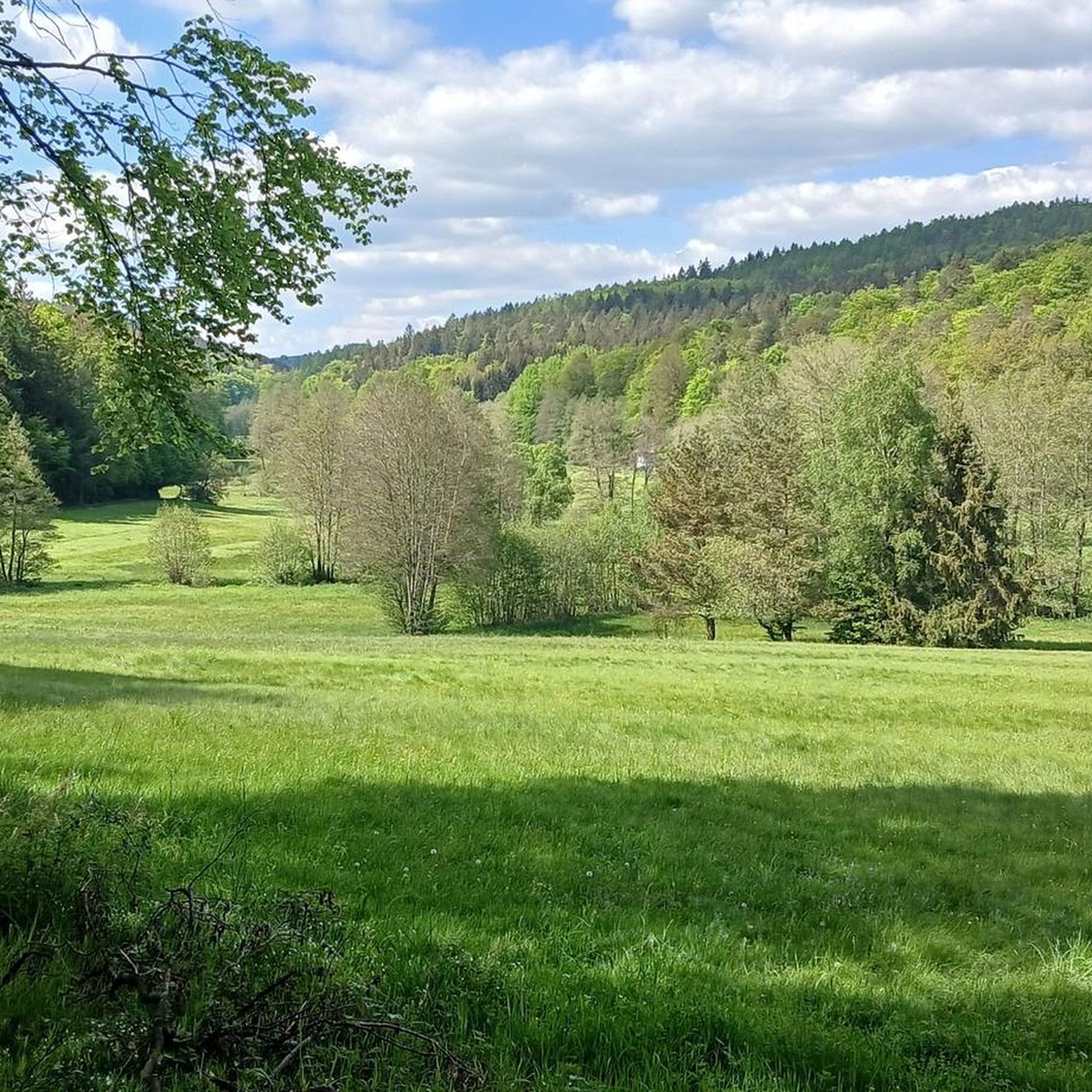
Beautiful views into the distance and of the nearby Kreuzberg and Arnsberg mountains. Anyone who still has the energy at this point should tackle the last few meters to the Kreuzberg summit. The path is paved all the way to the summit, making it suitable for road bikes.
0
0
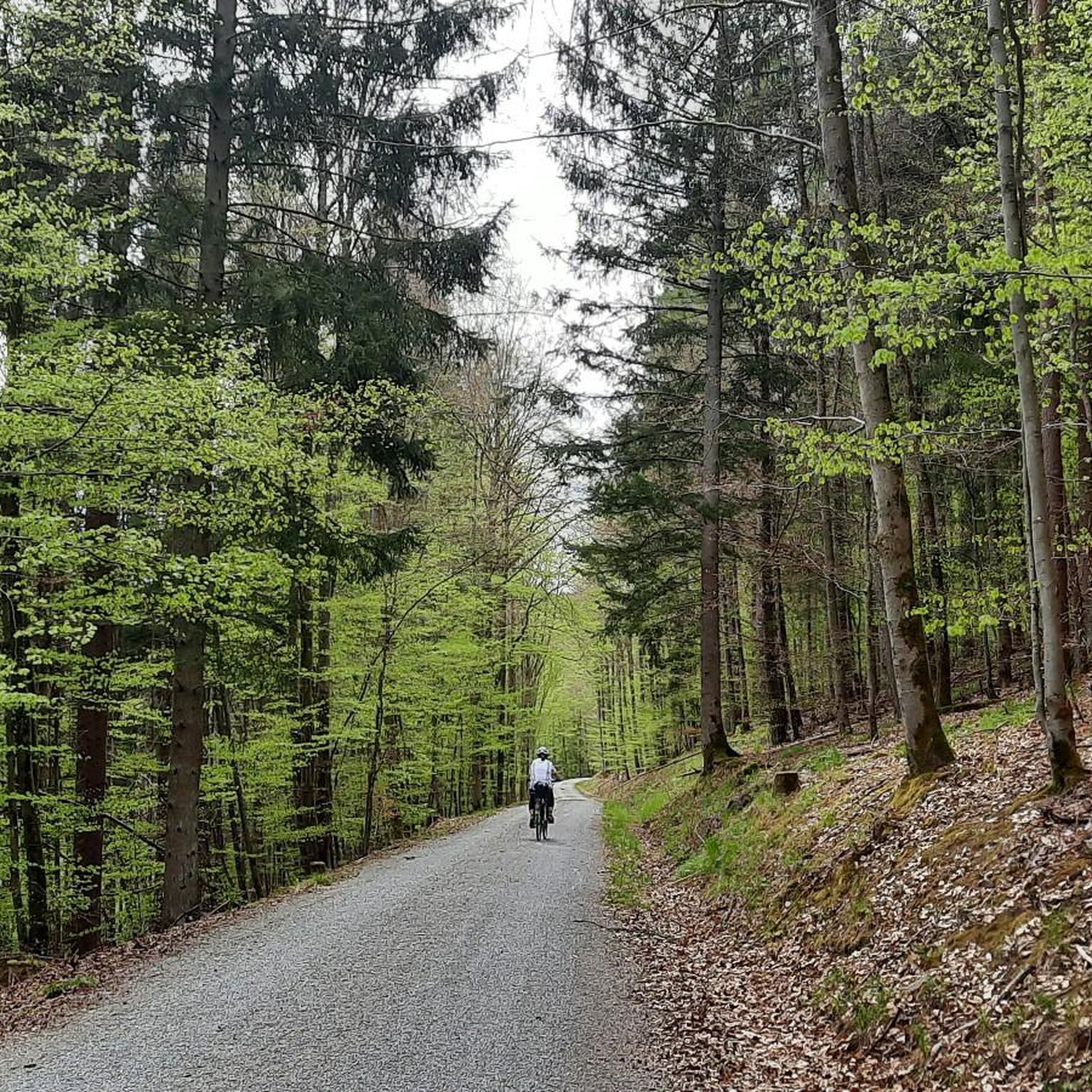
The Rhönexpress Railway Cycle Path, brand new and completed in 2019, is a truly unique experience. The approximately 26 km long route runs from the Hessian border near Zeitlofs to the market town of Wildflecken along the former railway line. Source and further information about this beautiful cycle path can be found at: https://rhoenexpress.bayern/
0
0
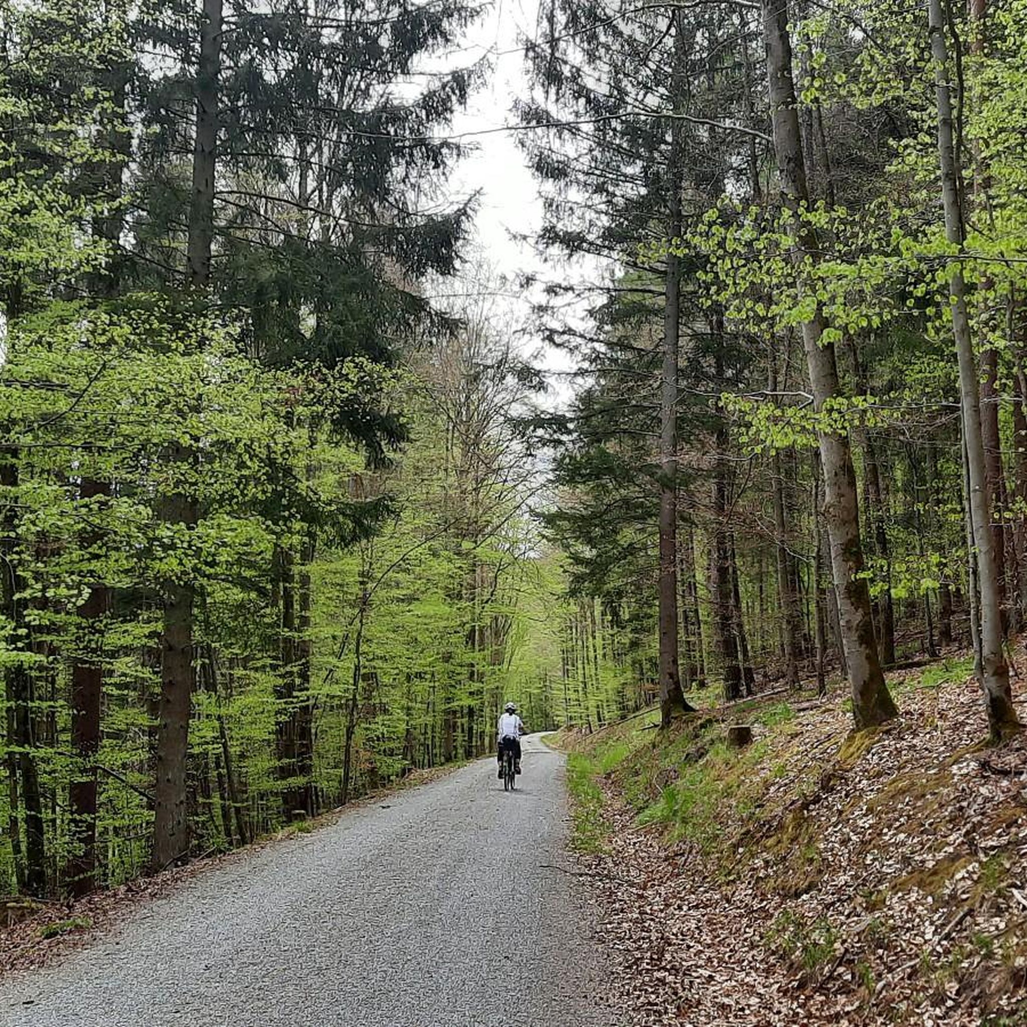
The Rhönexpress Railway Cycle Path, brand new and completed in 2019, is a truly unique experience. The approximately 26 km long route runs from the Hessian border near Zeitlofs to the market town of Wildflecken along the former railway line. Source and further information about this beautiful cycle path can be found at: https://rhoenexpress.bayern/
0
0
The Rhönexpress Railway Cycle Path, brand new and completed in 2019, is a truly unique experience. The approximately 26 km long route runs from the Hessian border near Zeitlofs to the market town of Wildflecken along the former railway line. Source and further information about this beautiful cycle path can be found at: https://rhoenexpress.bayern/
0
0
The Rhönexpress Railway Cycle Path, brand new and completed in 2019, is a truly unique experience. The approximately 26 km long route runs from the Hessian border near Zeitlofs to the market town of Wildflecken along the former railway line. Source and further information about this beautiful cycle path can be found at: https://rhoenexpress.bayern/
0
0
Frequently Asked Questions
How many road cycling routes are available around Geiersnest Ost?
There are over 75 road cycling routes around Geiersnest Ost, offering a wide range of options for different skill levels. The komoot community has explored these routes over 1,000 times, highlighting the area's popularity among cyclists.
What kind of terrain can I expect on road cycling routes in Geiersnest Ost?
The terrain around Geiersnest Ost is characterized by its heavily wooded nature and the distinctive Kuppenrhön landscape, featuring numerous conical hills. Routes often include varied elevation changes, from river valleys to climbs, providing a diverse cycling experience within the Bavarian Rhön mountains.
Are there challenging road cycling routes with significant climbs in Geiersnest Ost?
Yes, Geiersnest Ost offers several challenging road cycling routes with significant elevation gain. For instance, the Roth–Hohn Cycle Path – Saale Floodplain loop from Schondra is a difficult 59.0-mile route with over 1,600 meters of ascent. Another demanding option is the Kreuzberg Monastery – View of Arnsberg loop from Geiersnest Ost, which covers 60.2 miles with over 1,100 meters of climbing.
Can I find easier or moderate road cycling routes suitable for beginners in Geiersnest Ost?
Absolutely. While the region has challenging climbs, there are also plenty of moderate routes. The Rhönexpress Rail Cycle Path – Rhön Mountain Lodge loop from Geroda is a moderate 31.1-mile path that follows a former railway line, offering gentler gradients. Another moderate option is the View of the Rhön – Metzbrunnen loop from Schondra, a 38.3-mile route with manageable climbs.
Are there any circular road cycling routes in the Geiersnest Ost area?
Many of the road cycling routes around Geiersnest Ost are designed as loops, allowing you to start and finish at the same point. Examples include the Thulba Cycle Path – View of the Rhön loop from Geiersnest Ost, a 33.1-mile circular trail, and the Roth–Hohn Cycle Path – Saale Floodplain loop from Schondra.
What scenic viewpoints or attractions can I see along the road cycling routes?
The heavily wooded terrain of Geiersnest Ost and the surrounding Rhön mountains offer picturesque landscapes and views. While cycling, you might encounter natural features like the Kaskadental or the Aschach Gorge. Some routes also offer views towards the Rhön, as highlighted in the Thulba Cycle Path – View of the Rhön loop from Geiersnest Ost.
Are there places to stop for refreshments or food along the routes?
Yes, the broader Rhön region, including areas accessible from Geiersnest Ost, is home to welcoming refuges. Establishments like the Würzburger Karl-Straub-Haus and the Rhön Mountain Lodge serve as ideal intermediate stops for longer tours, providing opportunities for rest and refreshments. The Rhönexpress Rail Cycle Path – Rhön Mountain Lodge loop from Geroda, for example, offers views towards the Rhön Mountain Lodge.
What is the best time of year for road biking in Geiersnest Ost?
The forested nature of Geiersnest Ost makes it appealing for road cycling during spring, summer, and autumn when the weather is generally mild and the natural beauty is at its peak. The region's altitude of approximately 510 meters means that winter conditions can include snow and ice, making it less ideal for road cycling, though specific routes might be passable depending on conditions.
Is public transport available to access road cycling trails in Geiersnest Ost?
Geiersnest Ost is an uninhabited and entirely forested area, meaning direct public transport links might be limited. Cyclists typically access the routes from nearby towns and villages in the district of Bad Kissingen, which may offer better public transport connections. Planning your starting point from these surrounding communities is advisable.
What do other road cyclists enjoy most about road cycling in Geiersnest Ost?
The area is highly rated by the komoot community, with an average score of 4.6 stars from over 60 reviews. Reviewers often praise the serene, heavily wooded environment, the varied terrain, and the scenic views that characterize the routes within the Bavarian Rhön mountains.
Where can I park my car when planning a road cycling trip to Geiersnest Ost?
As Geiersnest Ost is an uninhabited area, dedicated parking facilities within the immediate forest might be scarce. It is generally recommended to park in the surrounding villages and towns within the district of Bad Kissingen, such as Schondra or Geroda, which serve as common starting points for many routes and are more likely to have designated parking areas.
Most popular attractions around Geiersnest Ost

Get inspired with the komoot mobile app


Explore more
Browse the best Road cycling routes in other regions.
