The best cycling routes around Água Retorta
20
riders
4
rides
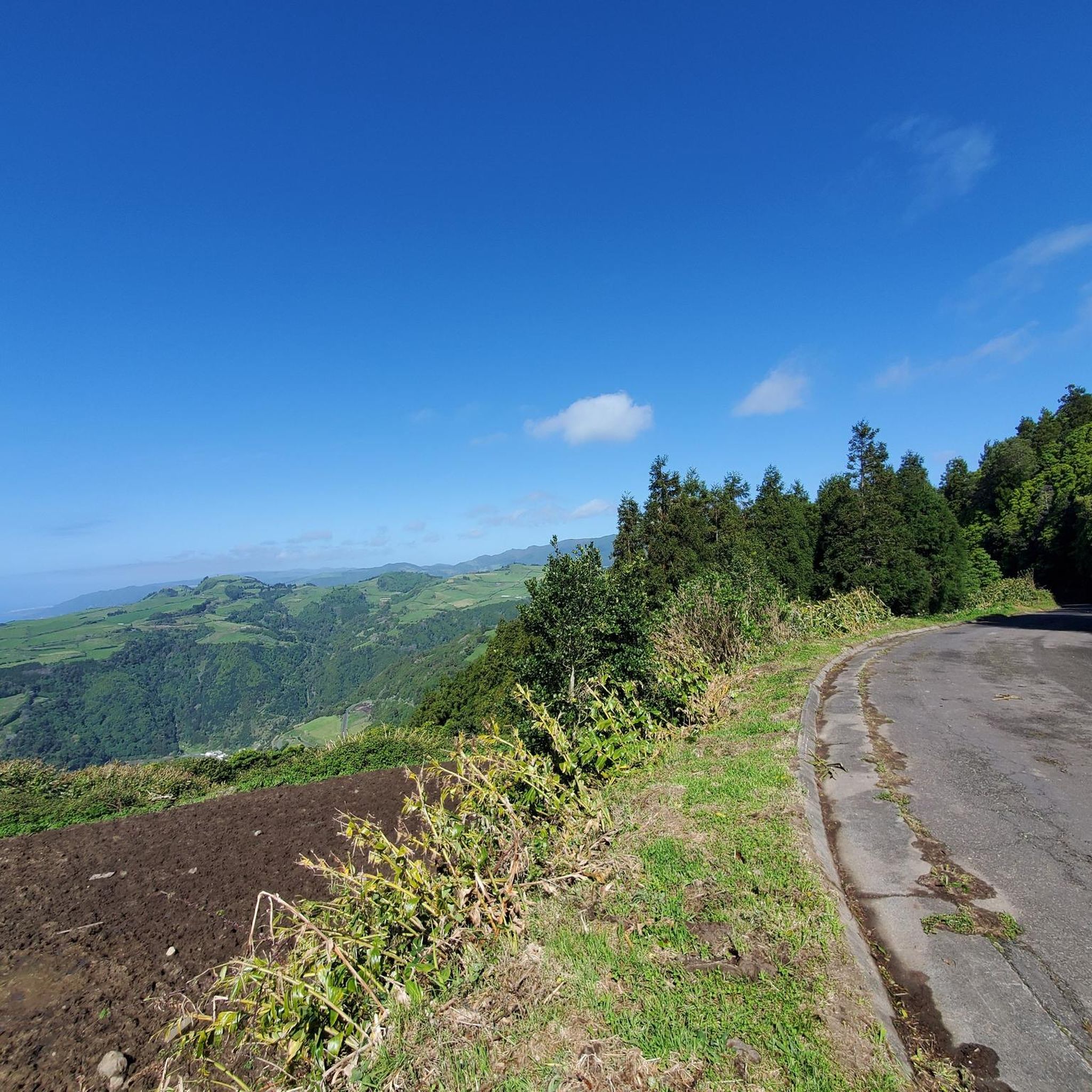
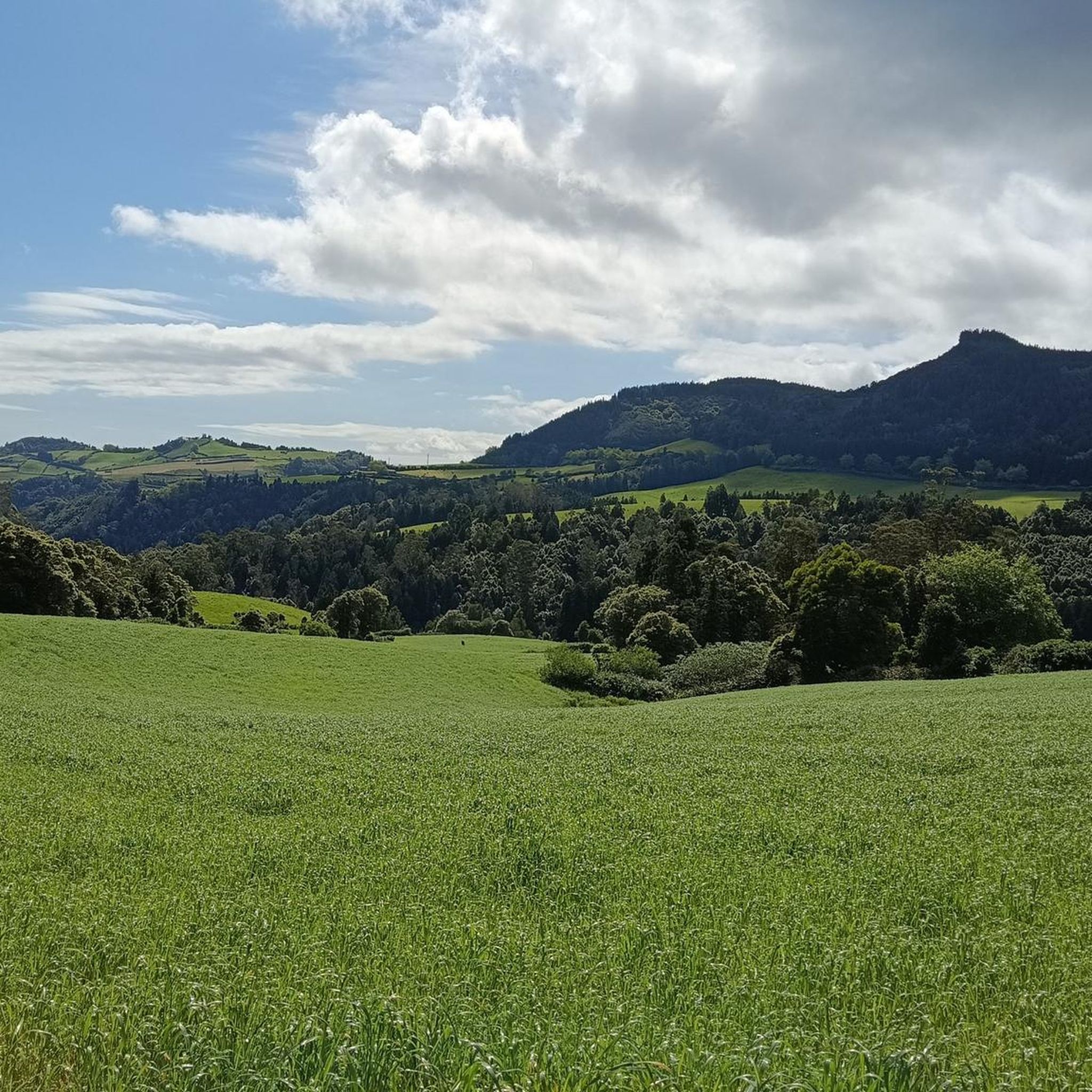
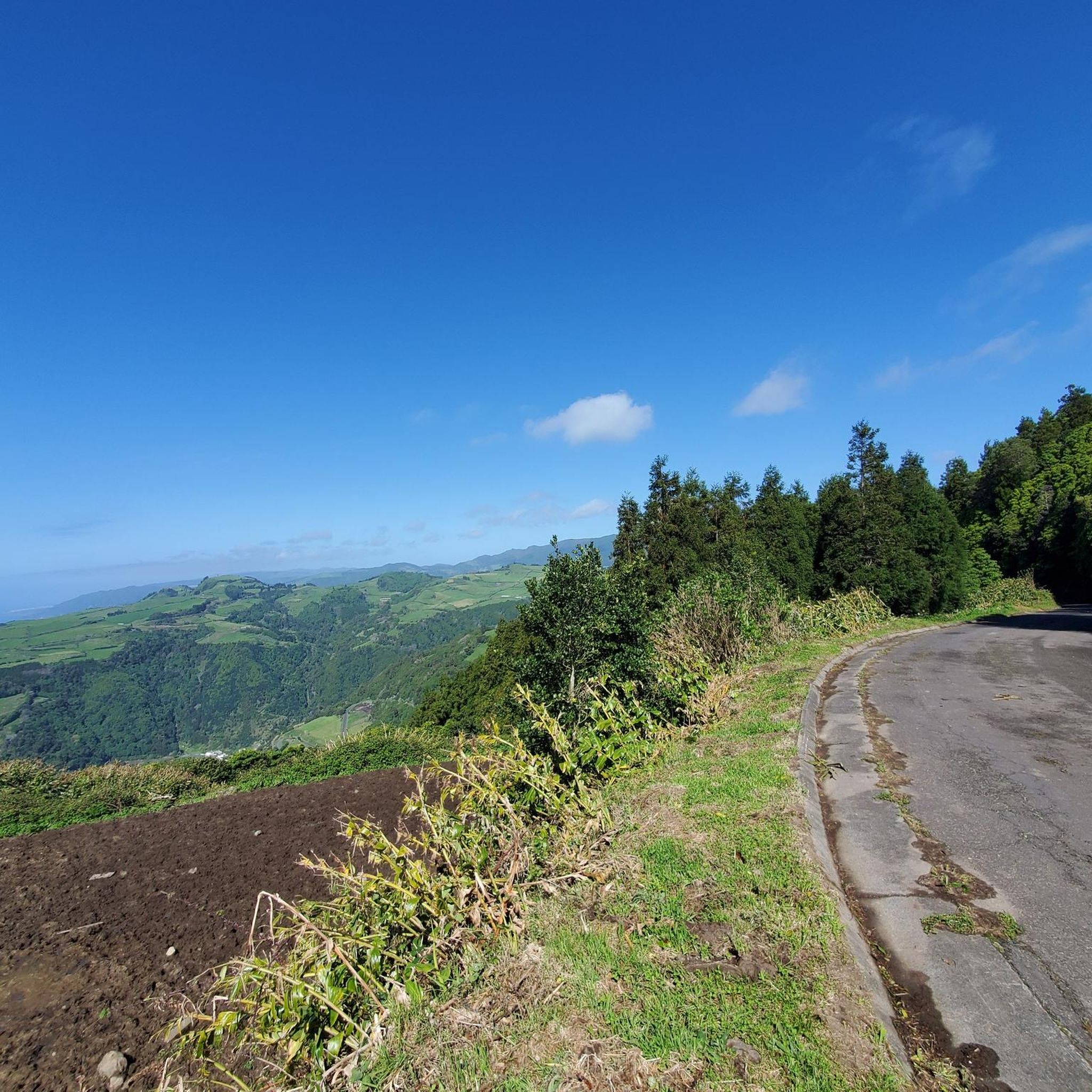
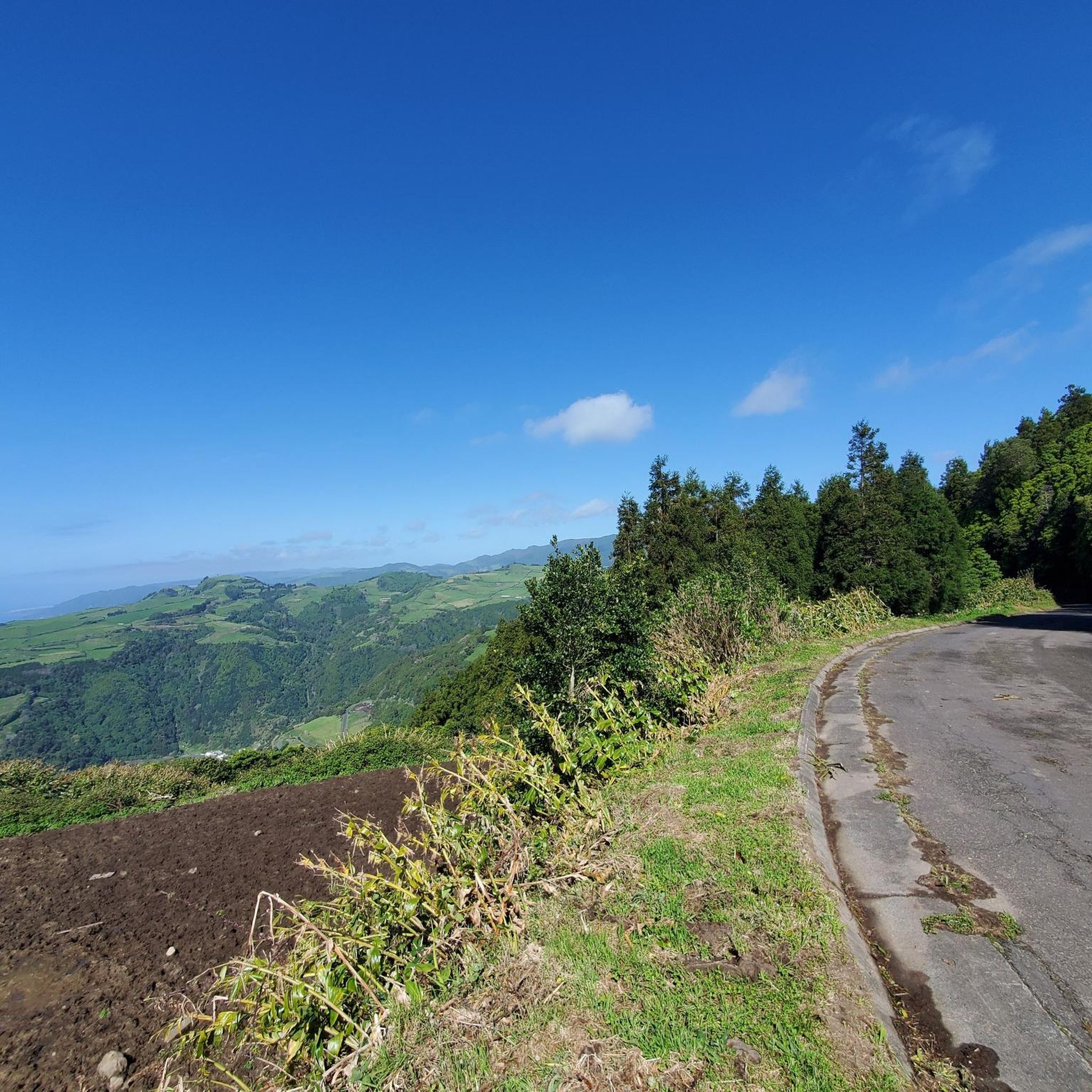
Touring cycling routes around Água Retorta are characterized by challenging terrain with significant elevation changes, indicative of a hilly or mountainous landscape. The region features routes that connect coastal areas like Nordeste with inland points such as Lagoa de Furnas. Cyclists can expect varied scenery, including views of the Atlantic coast and passages through local towns. The routes often involve sustained climbs and descents, making them suitable for experienced touring cyclists.
Best touring cycling routes around Água Retorta
- The most…
Last updated: July 4, 2026
3
riders
89.3km
06:52
2,290m
2,290m
Cycle 55.5 miles (89.3 km) from Nordeste to Lagoa de Furnas, a difficult touring route with 7523 feet (2293 metres) of elevation gain.
3
riders
84.3km
05:47
1,520m
1,520m
This difficult 52.4-mile touring cycling route from Nordeste to Maia offers dramatic landscapes and significant elevation gain on São Miguel

Sign up for free
7
riders
42.0km
04:28
1,380m
1,380m
Hard bike ride. Very good fitness required. Mostly paved surfaces. Suitable for all skill levels.
7
riders
45.7km
04:56
1,470m
1,470m
Hard bike ride. Very good fitness required. Mostly paved surfaces. Suitable for all skill levels.
Our route recommendations are based on thousands of hikes, rides, and runs completed by other people on komoot.
Start today with a free account
Your next adventure awaits.
Login or Signup
Tips from the Community

Wonderful place, I recommend a visit
0
0

We drove to the small district town (1900 inhabitants) for breakfast and shopping and then immediately visited the harbor and took a walk along the cliffs.
0
0

It is very beautiful here.
0
0


Nice little place. There is a small park under the beautiful bridge, and the village center with a supermarket, restaurants, church and bike house is nearby.
0
0
Nice little village center, with a church, town hall and shops all in one square.
0
0
Very beautiful church with a beautifully decorated altar. It's also worth taking a short walk through the village.
0
0
Frequently Asked Questions
How many touring cycling routes are available around Água Retorta?
There are 4 touring cycling routes detailed around Água Retorta. These routes are generally challenging, featuring significant elevation changes and varied terrain.
What is the overall difficulty level of touring cycling routes in Água Retorta?
All touring cycling routes around Água Retorta are classified as difficult. They are characterized by sustained climbs and descents, making them suitable for experienced touring cyclists looking for a challenge.
Are there any touring cycling routes suitable for beginners in Água Retorta?
The touring cycling routes around Água Retorta are primarily designed for experienced cyclists due to their difficult classification and significant elevation gains. There are no easy or moderate routes listed in this guide.
Are there any circular touring cycling routes in Água Retorta?
Yes, there are circular touring cycling routes available. For instance, the Seven Arches Bridge – Historic Center of Nordeste loop from Nordeste offers a 42 km ride through coastal and historic areas. Another option is the Seven Arches Bridge – Historic Center of Nordeste loop from Povoação, which covers 46.5 km.
What kind of views can I expect on the touring cycling routes?
The routes offer diverse scenery, including stunning views of the Atlantic coast, passages through local towns, and connections between various natural landmarks. You'll experience both coastal vistas and inland landscapes.
What are some notable natural attractions or landmarks along the touring cycling routes?
While cycling, you might encounter areas near significant natural monuments. For example, the region is close to the Furnas Calderas and Hot Springs, and the Ponta da Madrugada Viewpoint offers spectacular coastal views. There are also several waterfalls in the broader area, such as the Prego Waterfall.
Are there any waterfalls accessible or visible from the touring cycling routes?
While the routes themselves might not pass directly by all waterfalls, the region around Água Retorta is known for them. Notable waterfalls include the Waterfall in Ribeira dos Caldeirões and the Wooden Bridge and Waterfall on Ribeira dos Caldeirões, which are popular highlights in the vicinity.
What is the longest touring cycling route available?
The longest touring cycling route listed is From Nordeste to Lagoa de Furnas, spanning 89.3 km (55.5 miles). This route features extensive climbs, with over 2200 meters of ascent.
What is the best time of year for touring cycling in Água Retorta?
Given the challenging terrain and coastal exposure, spring and autumn generally offer the most pleasant conditions for touring cycling in Água Retorta, with milder temperatures and less extreme weather than summer or winter. Always check local weather forecasts before heading out.
What should I expect regarding elevation changes on these routes?
Expect significant elevation changes. For example, the route From Nordeste to Maia involves over 1500 meters of elevation gain, while From Nordeste to Lagoa de Furnas features over 2200 meters of ascent. Be prepared for sustained climbs and descents.
Are there any specific trailheads or starting points for these routes?
Routes often start from towns like Nordeste or Povoação. For instance, the Seven Arches Bridge – Historic Center of Nordeste loop from Nordeste begins in Nordeste, and the Seven Arches Bridge – Historic Center of Nordeste loop from Povoação starts from Povoação.
What do other touring cyclists say about cycling in Água Retorta?
Over 19 touring cyclists have used komoot to explore Água Retorta's varied terrain. They often highlight the challenging climbs, rewarding coastal views, and the unique experience of connecting various towns and natural landmarks across the region.
Most popular attractions around Água Retorta

Get inspired with the komoot mobile app


Explore more
Browse the best Cycling routes in other regions.
