The best walks and hikes around São Martinho Das Amoreiras
4.4
(126)
405
hikers
18
hikes
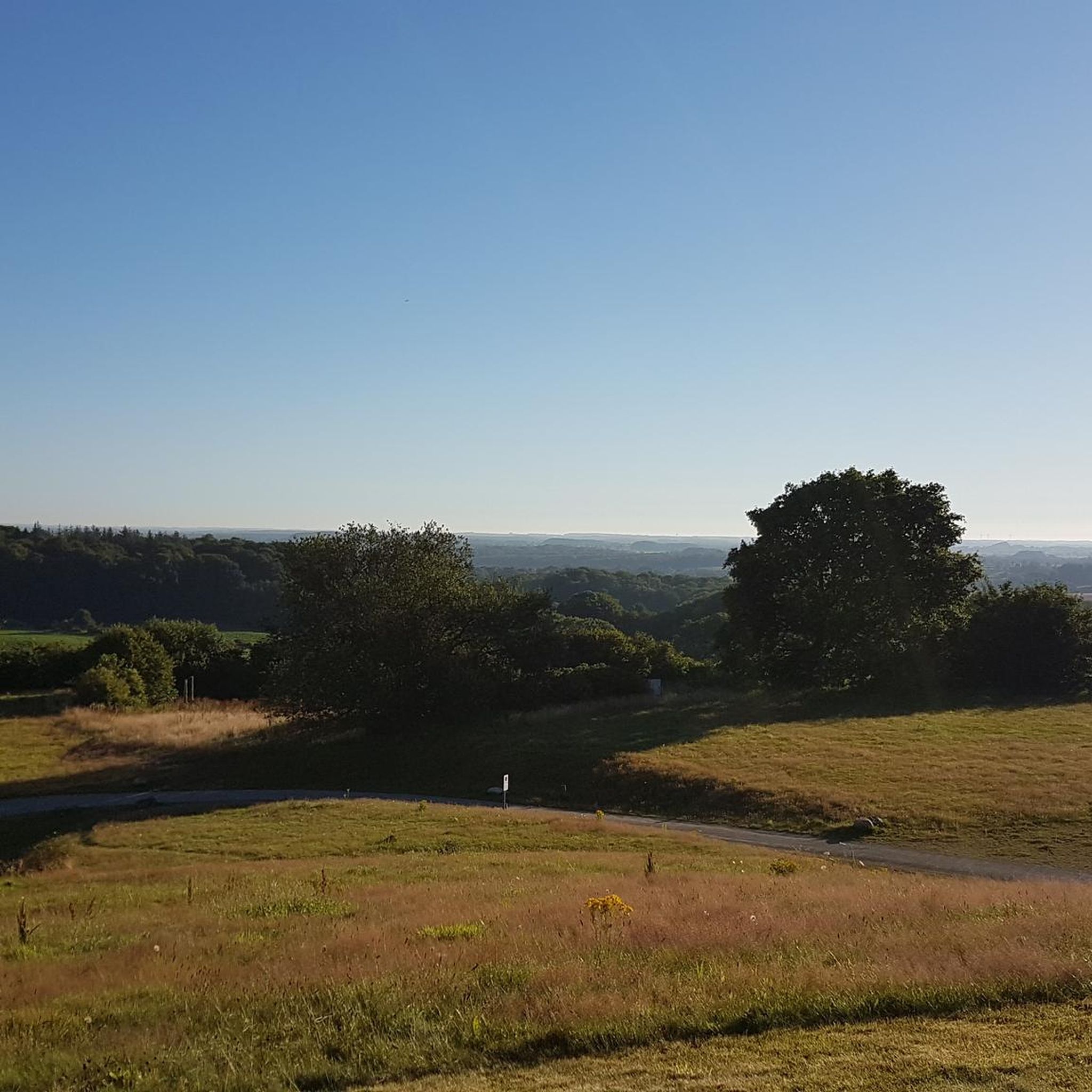
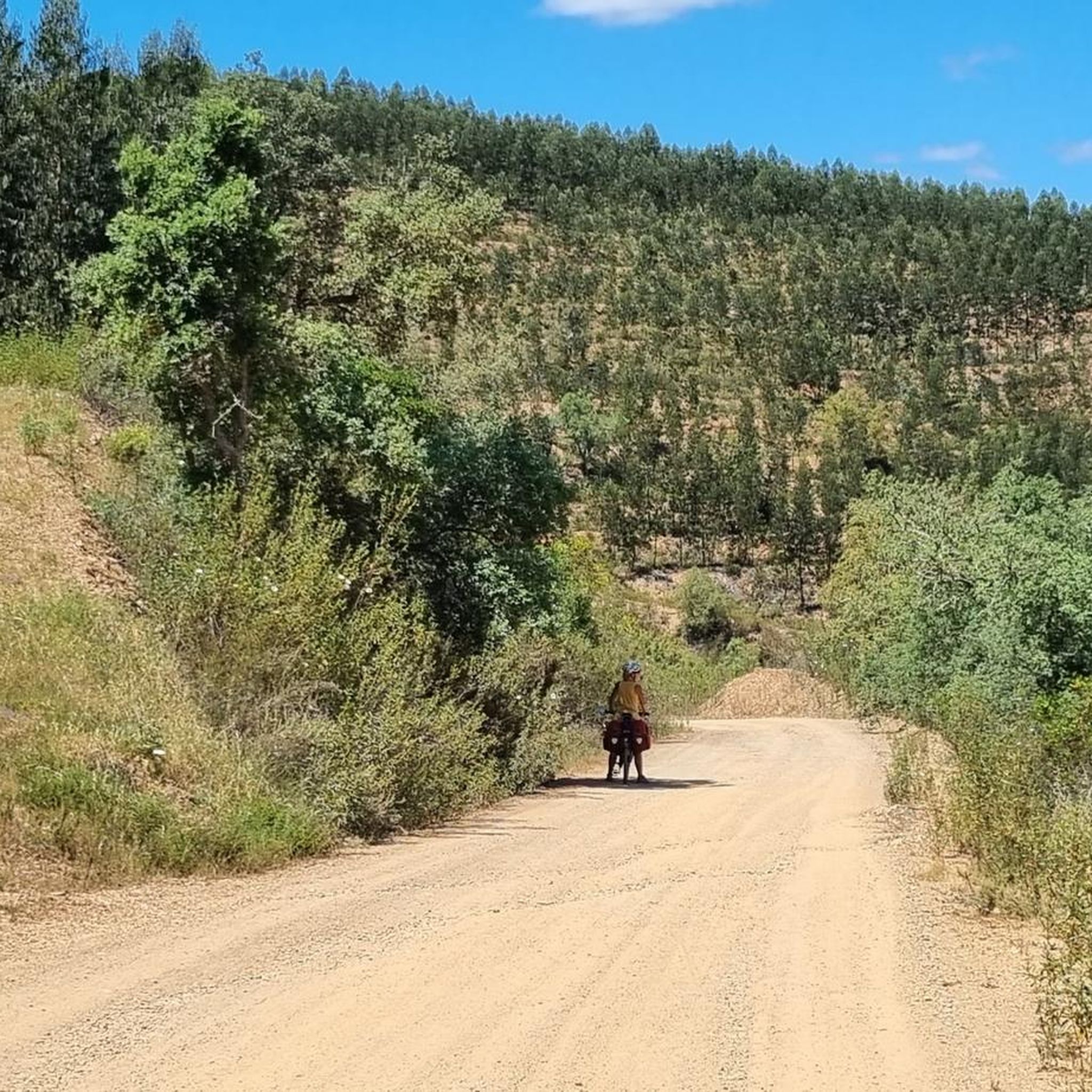
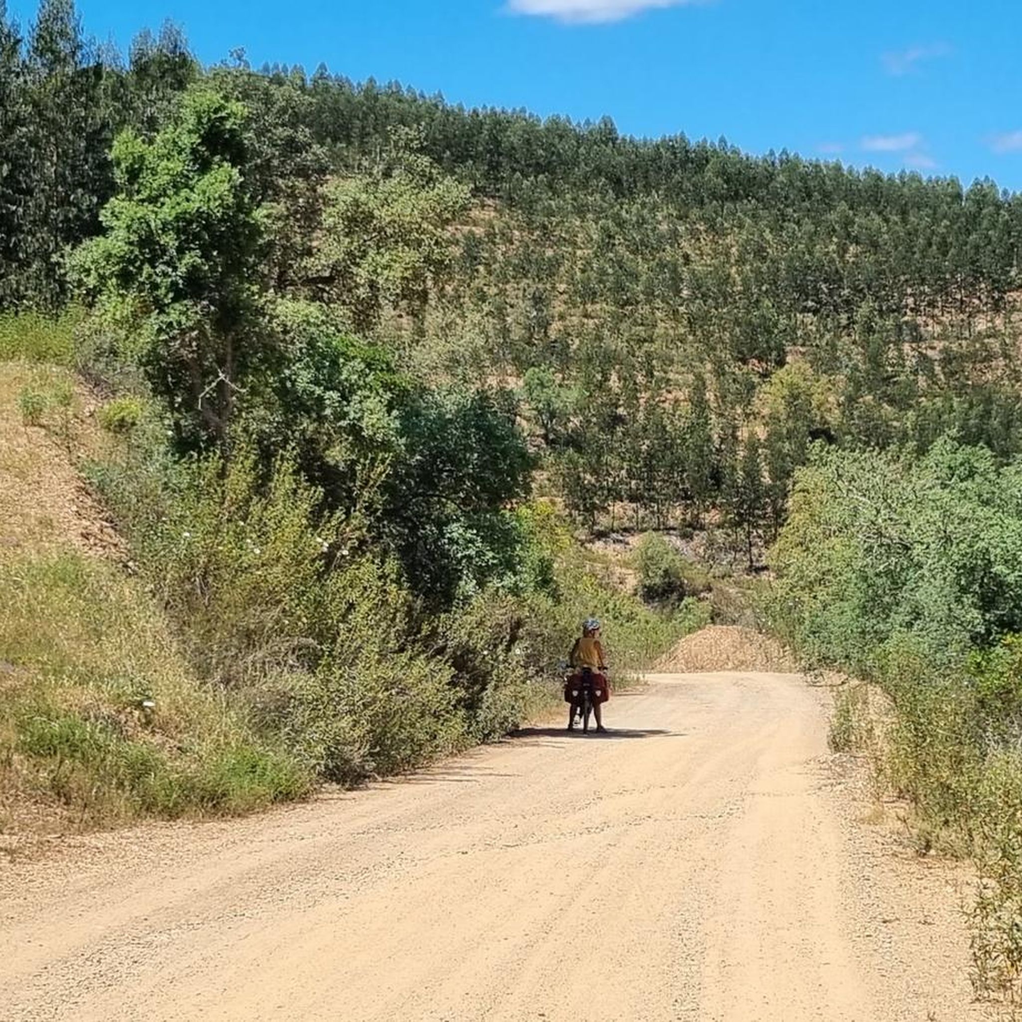
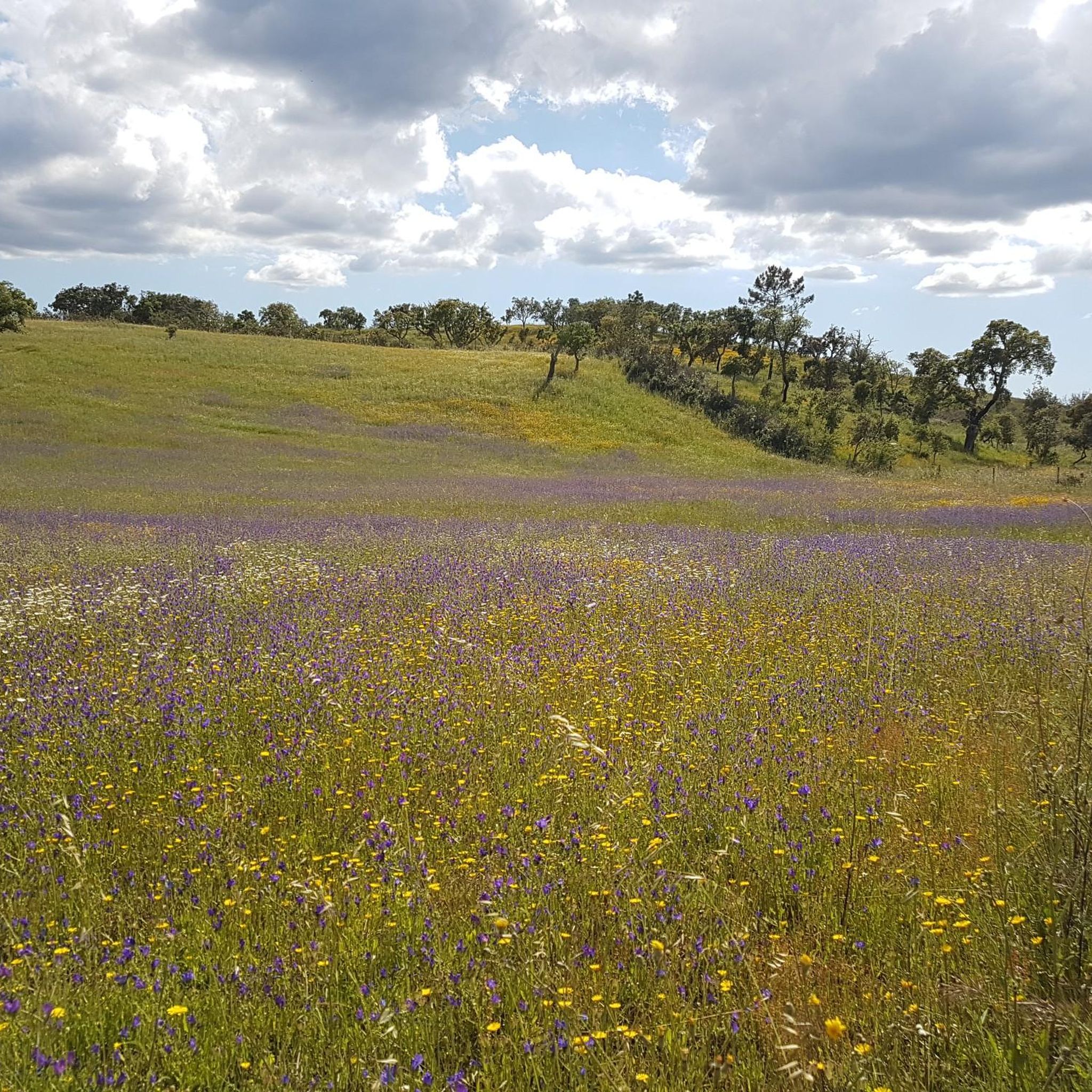
Hiking trails around São Martinho Das Amoreiras traverse a tranquil rural landscape characterized by rolling hills, forested areas, and open fields. The region features ancient cork oaks, pines, and eucalyptus trees, alongside valleys with fresh springs. The Mira River and Santa Clara Dam are prominent natural features, offering scenic views and a large reservoir.
Best hiking trails around São Martinho Das Amoreiras
- The most popular hiking route is Mill on the Summit loop from São Martinho das Amoreiras, a 7.7 miles (12.3 km) trail that takes 3 hours 34 minutes to complete. This moderate route offers panoramic views from Moinho da Serra.
- Another top favourite among local hikers is River Beach – View of Alento Valley loop from Castro de Cola, an easy 3.1 miles (5.1 km) path. This route explores sections of the Mira River and its valley.
- Local hikers also love the View of the Alentejo Landscape – Café Al Hrya loop from Camping Serro da Bica, a 5.7 miles (9.2 km) trail leading through varied Alentejo landscapes, often completed in about 2 hours 28 minutes.
- Hiking around São Martinho Das Amoreiras is defined by forested hillsides, river valleys, and open fields, with routes integrated into the Rota Vicentina network. The area offers options for various ability levels, from easy strolls to more challenging paths.
- The routes in São Martinho Das Amoreiras are highly rated by the komoot community with an average score of 4.5 stars from over 100 reviews. More than 300 hikers have used komoot to explore São Martinho Das Amoreiras's varied terrain.
Last updated: July 4, 2026
5.0
(2)
23
hikers
12.4km
03:34
260m
260m
Moderate hike. Good fitness required. Mostly accessible paths. Sure-footedness required.
4.6
(5)
13
hikers
5.06km
01:24
90m
90m
Easy hike. Great for any fitness level. Easily-accessible paths. Suitable for all skill levels.

Sign up for free
3.5
(2)
6
hikers
Moderate hike. Good fitness required. Easily-accessible paths. Suitable for all skill levels.
4.5
(2)
4
hikers
18.4km
04:59
250m
250m
Moderate hike. Good fitness required. Easily-accessible paths. Suitable for all skill levels.
4.3
(4)
9
hikers
9.28km
02:30
120m
120m
Moderate hike. Good fitness required. Easily-accessible paths. Suitable for all skill levels.
Get access to more routes and recommendations from other explorers.
Sign up for free
Already have an account?
Our route recommendations are based on thousands of hikes, rides, and runs completed by other people on komoot.
Start today with a free account
Your next adventure awaits.
Login or Signup
Tips from the Community

The mill has its own charm and you can enjoy a wonderful view of the area from here.
0
0
The panoramic view of the Alento is very good from here at a height of 215 m. In summer, you should have plenty of drinking water with you. It's really lovely to end the tour with a cool swim in the beautifully overgrown river below. Nice places to sit, a drinking fountain and bathing areas have been set up for tourists.
2
0

So close and so far. Like an old Soviet nuclear submarine, here you are in deep water. Beware of the arbutus! If you drink, promise not to walk on the tarmac for the next 12 hours.
2
0


Park the car near the big Alento sign and don't talk to the wizard 😉 Go through the fence opposite of this sign and start a lovely walk.
1
0

Frequently Asked Questions
How many hiking trails are available around São Martinho Das Amoreiras?
Based on komoot data, there are over 18 hiking routes in the São Martinho Das Amoreiras area, catering to various skill levels, from easy strolls to more challenging paths.
What kind of landscapes can I expect to see while hiking in São Martinho Das Amoreiras?
Hikers can expect a tranquil rural landscape with rolling green hills, forested areas featuring ancient cork oaks, pines, and eucalyptus, and valleys with fresh springs. The Mira River and the stunning Santa Clara Dam are prominent natural features, offering scenic views and opportunities for exploration.
Are there any family-friendly hiking options in São Martinho Das Amoreiras?
Yes, São Martinho Das Amoreiras offers several easy routes suitable for families. An example is the River Beach – View of Alento Valley loop from Castro de Cola, which is an easy 3.1-mile (5.1 km) path exploring sections of the Mira River.
Are there any circular hiking routes available in the region?
Yes, many routes in São Martinho Das Amoreiras are circular. A popular option is the Mill on the Summit loop from São Martinho das Amoreiras, a 7.7-mile (12.3 km) trail offering panoramic views from Moinho da Serra.
What interesting landmarks or attractions can I find along the trails?
Beyond the natural beauty, you can discover historical and natural landmarks. The Santa Clara Dam is a significant feature with a large reservoir and river beach. You might also encounter the Alento River Crossing (Rio Mira), or the 18th-century São Martinho Church in the village.
What do other hikers enjoy most about hiking in São Martinho Das Amoreiras?
The area is highly rated by the komoot community, with an average score of 4.5 stars from over 100 reviews. Reviewers often praise the tranquil rural setting, the diverse landscapes, and the well-integrated trails within the Rota Vicentina network.
Are there any longer or more challenging hikes for experienced hikers?
For those seeking a longer challenge, the Taberna Cabrita – Café Al Hrya loop from Camping Serra da Bica is a difficult 11.6-mile (18.6 km) route that provides a more extensive exploration of the region's varied terrain.
Can I find trails that offer views of the wider Alentejo landscape?
Absolutely. The View of the Alentejo Landscape – Café Al Hrya loop from Camping Serro da Bica is a moderate 5.7-mile (9.2 km) trail specifically designed to showcase the varied Alentejo landscapes.
Are there any trails that pass by water features or offer opportunities for wild swimming?
While specific wild swimming spots are not detailed for every trail, the region is home to the Mira River and the Santa Clara Dam, which creates a large reservoir with an inviting river beach, perfect for swimming during warmer months. Routes like the River Beach – View of Alento Valley loop from Castro de Cola explore sections of the Mira River.
What is the best time of year to go hiking in São Martinho Das Amoreiras?
São Martinho Das Amoreiras offers pleasant hiking conditions for much of the year. The spring and autumn months are particularly ideal, with milder temperatures and lush landscapes. Even in warmer months, the Santa Clara Dam's river beach provides a refreshing option.
Are there any trails that lead to viewpoints or offer panoramic vistas?
Yes, the region is known for its scenic viewpoints. The Mill on the Summit loop from São Martinho das Amoreiras leads to Moinho da Serra, the highest peak in the area, which features windmills and offers magnificent panoramic views.
What kind of wildlife might I encounter on the trails?
Wildlife enthusiasts may spot various bird species, including the special Bonelli's eagle. Traces of wild boar are also ubiquitous along the trails, and the area is abundant in green lavender, adding to its natural beauty.
Most popular attractions around São Martinho Das Amoreiras

Get inspired with the komoot mobile app


Explore more
Browse the best Hikes in other regions.
