The 9 Most Amazing Peaks around Bendestorf
Mountain peaks around Bendestorf are characterized by rolling hills and expansive heathland rather than towering alpine formations. The region offers numerous elevated points and natural attractions that provide scenic beauty and recreational opportunities. These areas are ideal for activities such as hiking and cycling, allowing visitors to experience the unique landscapes of Lower Saxony. The natural surroundings of Bendestorf present valuable experiences for outdoor enthusiasts.
Best mountain peaks around Bendestorf
- The most popular mountain peaks is Finkhüttenberg Summit (64 m)…
Last updated: August 11, 2026
Brunsberg Summit and Heathland Panorama
Highlight • Summit
Translated by Google •
Tip by

Finkhüttenberg Summit (64 m)
Highlight • Summit
Translated by Google •
Tip by

Sign up now to discover places like this
Get recommendations on the best single tracks, peaks, & plenty of other exciting outdoor places.
Sign up for free
Hülsenberg Summit
Highlight • Summit
Translated by Google •
Tip by

Gannaberg Summit
Highlight • Summit
Translated by Google •
Tip by
Hempberg
Highlight • Summit
Translated by Google •
Tip by

Sign up for free to discover even more peaks around Bendestorf.
Sign up for free
Already have an account?
Start today with a free account
Your next adventure awaits.
Login or Signup
Tips from the Community

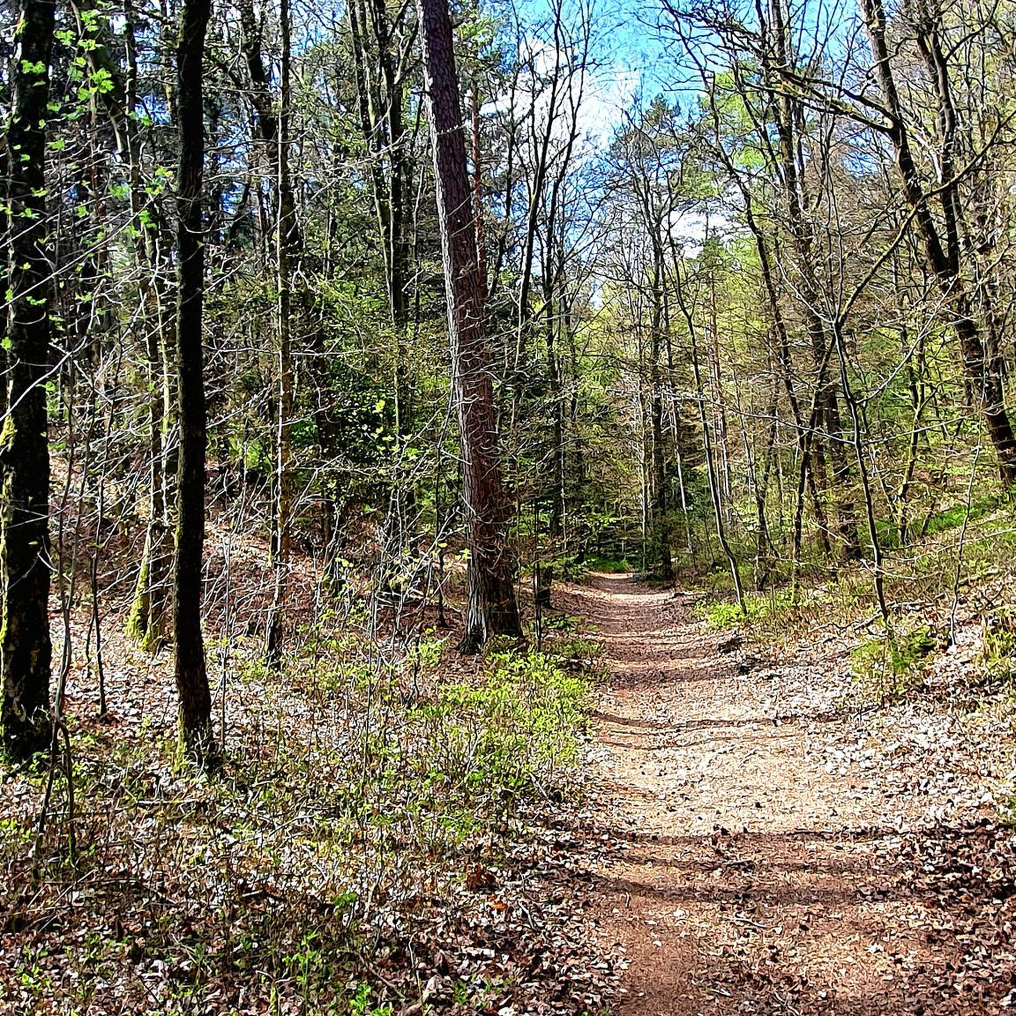
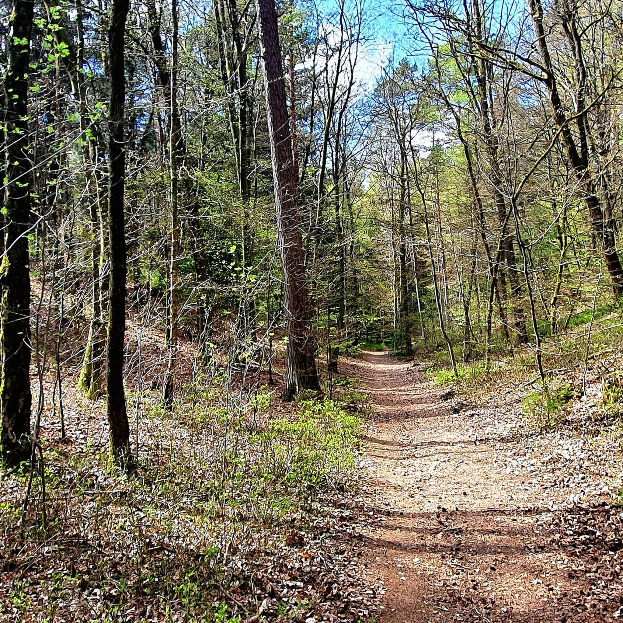
The Hülsenberg, titled/marked by a nice hiker 🥾 with DIN-A4 foil, never showed up in my summit collection, therefore I explored the "true", topographical summit on my tours (69/70) 😉〰️🚵🏼♂️〰️ Unfortunately, currently (8.26) only accessible as a dead end.. but would be expandable..🤷🏽♂️.. let's see what paths will emerge from forestry measures 👍🏼😎
1
0

I hope the downward thumbs-up refers to the cigarette butt throwing. https://frali.net/nordheide/?Holm-Seppensen___Hempberg
0
0

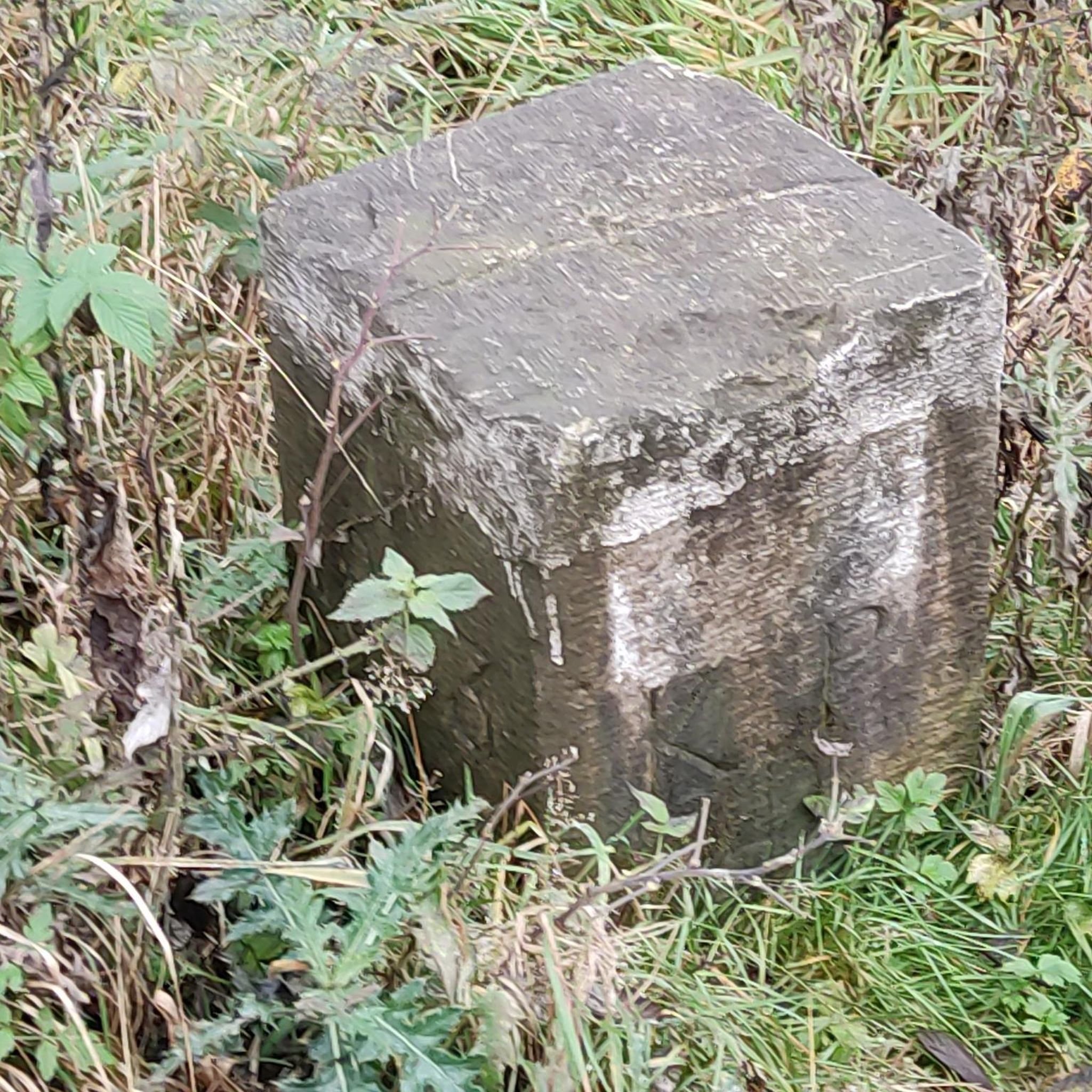
The path up is marked with sticks, the highest point itself, unfortunately, only with a survey mark.
1
0
According to the map https://navigator.landkreis-harburg.de/, the Hempberg should be called Hempberg, even though there is a district called Beim Butenkaven on the same site. Near the highest point, a bench invites you to blow your nose. Unfortunately, the square is littered with cigarette butts, which, by the way, is quite harmful to the environment.
0
2

There is even a small bench at the top. There is no path up, so please be careful with your steps.
1
0
The highest elevation exceeds the Gannaberg by a few centimeters.
2
1

At around 155 m, the Gannaberg is the second highest elevation in the Harburg Mountains and the Harburg district in Lower Saxony, alongside the Huelenberg (approx. 156 m). It is located in the municipality of Rosengarten near Langenrehm. On it stands the Rosengarten telecommunications tower and nearby the Langenrehm memorial. The Gannaberg rises between Sieversen in the north-east and the Emsen district of Langenrehm in the south-west and is part of the district of Langenrehm; they are all in the municipality of Rosengarten. The district road 26 leads over its northern flank as a connection between the two villages. The Gannaberg is part of an elongated push moraine left behind by the Fuhlsbüttler advance in the Quaternary and extends from the Kiekeberg (127.1 m) near Vahrendorf in the north-northeast to the Nuppenberg (approx. 115 m) near Dibbersen in the south-southwest. The Gannaberg is about 155 m high as part of its south-southwest crest (♁⊙); its north-northeast crest (♁⊙) reaches 150 m in height. The peaks of both crests are about 370 m apart. https://de.wikipedia.org/wiki/Gannaberg
3
0
The sleeve mountain is about 156 m above sea level. NHN next to the Gannaberg (approx. 155 m) the highest elevation of the Harburg mountains and the Lower Saxony district of Harburg. It is in the municipality of Rosengarten near Sieversen. The sleeve mountain rises between Sieversen in the east-southeast and the Emsen district of Langenrehm in the south-southwest; they are all in the municipality of Rosengarten. The district road 52 leads over its southern flank as a connection between Sieversen in the east and Eversen-Heide in the west. The Hülsenberg is part of an elongated push moraine that was left behind by the Fuhlsbüttler advance in the Quaternary and from the Kiekeberg (127.1 m) near Vahrendorf in the north-northeast to to the Nuppenberg (approx. 115 m) near Dibbersen in the south-southwest. https://de.wikipedia.org/wiki/H%C3%BClsenberg_(Harburger_Berge)
3
2
Frequently Asked Questions
What kind of mountain peaks can I expect to find around Bendestorf?
The region around Bendestorf is characterized by rolling hills and expansive heathland rather than towering alpine formations. You'll discover elevated points, heathland summits, and forested hills that offer scenic beauty and recreational opportunities, perfect for hiking and cycling.
What are some of the most notable elevated points or 'peaks' near Bendestorf?
Among the most notable elevated points are the Brunsberg Summit and Heathland Panorama, known for its 360° panoramic views of the heath. Other significant spots include Gannaberg Summit, the highest elevation in the Harburg district, and Hülsenberg Summit, which offers a low mountain range feeling just a few kilometers from Hamburg.
Are there any family-friendly 'peaks' or trails suitable for children?
Yes, several areas are suitable for families. The Brunsberg Summit and Heathland Panorama is categorized as family-friendly, offering accessible paths and benches. The Finkhüttenberg Summit (64 m) is also considered family-friendly, though its dense forest means there's no longer an open view from the top.
What are the highest points in the Bendestorf area?
The Gannaberg Summit is the highest elevation in the Harburg district at approximately 155 meters. Close behind is the Hülsenberg Summit, also around 155-156 meters, making them the highest points in the Harburg Mountains. The Brunsberg Summit reaches 129 meters above sea level, making it the second highest elevation in the Lüneburg Heath.
What kind of views can I expect from these elevated points?
From the Brunsberg Summit, you can enjoy wonderful 360° panoramic views of the surrounding heath, Lohberge, and forests. The Hülsenberg Summit also offers viewpoints, providing a sense of low mountain range scenery. While Finkhüttenberg Summit was historically known for its views, dense forest growth now obscures them.
Are there hiking trails near the 'mountain peaks' around Bendestorf?
Yes, the region offers numerous hiking opportunities. You can find a variety of trails, including easy options like the 'Seeve Floodplain – Bendestorf Seeve Weir loop' or the 'Wooden Squirrel Sculpture – Ponds in Klecker Forest loop'. For more details and routes, explore the Easy hikes around Bendestorf guide.
Can I go mountain biking near these elevated areas?
Absolutely! The Brunsberg Summit and Heathland Panorama is particularly noted as an excellent location for mountain biking within the Lüneburg Heath. You can find various routes, including moderate trails like the 'Dirt Jump Park Lüneburg Heath – Rapids on the Seeve loop'. Check out the MTB Trails around Bendestorf guide for more options.
What other outdoor activities are available in the Bendestorf area?
Beyond hiking and mountain biking, the region is excellent for road cycling. You can find routes like the 'St. Jakobi Church Hanstedt – St. Gertrude's Church, Pattensen loop'. For more information on cycling routes, refer to the Road Cycling Routes around Bendestorf guide. The natural fields also offer opportunities for wildlife spotting.
What natural features or wildlife can I observe in the Bendestorf area?
The natural surroundings of Bendestorf, including the Lüneburg Heath and areas like the Seevekanal Cycle Path, provide opportunities to observe local wildlife such as deer, buzzards, and herons. The heathland itself is a unique natural feature, especially beautiful when the heather is in bloom.
What do visitors generally appreciate about the 'peaks' around Bendestorf?
Visitors appreciate the picturesque landscapes, the opportunities for hiking and cycling, and the chance to experience a 'low mountain range feeling' close to Hamburg. The area has received over 3000 upvotes and features more than 2000 photos from the komoot community, highlighting its appeal for outdoor enthusiasts seeking scenic beauty and recreation.
Is there a 'hidden gem' among the elevated points near Bendestorf?
While not entirely hidden, the path to Hülsenberg Summit is noted as being rarely used, offering a quieter experience. It's a great spot to find that low mountain range feeling without the crowds, even though it's one of the highest points in the Harburg Mountains.
Are there any natural monuments among the peaks?
Yes, both the Brunsberg Summit and Heathland Panorama and the Hülsenberg Summit are recognized as natural monuments, highlighting their ecological and scenic importance in the region.
Most popular routes around Bendestorf
Most popular attractions around Bendestorf

Get inspired with the komoot mobile app


Explore more
See even more amazing summits around Bendestorf with these guides:
