The best running trails around Águas Santas
4.0
(11)
271
runners
18
runs
Jogging routes around Águas Santas, located within the municipality of Maia, Portugal, offer access to a network of green urban spaces and trails. The region is characterized by well-maintained parks, such as Parque Urbano dos Moutidos and Parque Urbano das Águas Santas, which provide dedicated paths for running. Additionally, the Ecocaminho, a converted railway line, offers a longer route through diverse landscapes. These areas contribute to a varied terrain suitable for different running preferences.
Best jogging routes around Águas Santas
…Last updated: July 4, 2026
5.0
(6)
26
runners
9.26km
00:58
80m
80m
Moderate run. Good fitness required. Mostly paved surfaces. Suitable for all skill levels.
3.0
(1)
11
runners
9.12km
01:05
230m
230m
Moderate run. Good fitness required. Mostly paved surfaces. Suitable for all skill levels.

Sign up for free
12
runners
10.2km
01:06
170m
170m
Moderate run. Good fitness required. Mostly paved surfaces. Suitable for all skill levels.
18
runners
Hard run. Very good fitness required. Mostly accessible paths. Some sure footedness required.
9
runners
7.09km
00:51
30m
30m
Moderate run. Good fitness required. Mostly paved surfaces. Suitable for all skill levels.
Get access to more routes and recommendations from other explorers.
Sign up for free
Already have an account?
Our route recommendations are based on thousands of hikes, rides, and runs completed by other people on komoot.
Start today with a free account
Your next adventure awaits.
Login or Signup

Tips from the Community

Today there was a meeting of the elders with their older cars! Lol it was very beautiful!
0
0

Nice place, you can enjoy the whole surrounding area 👍
0
0

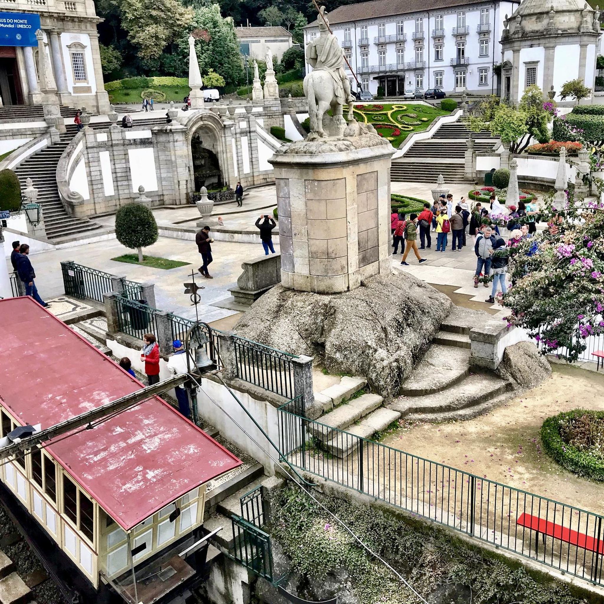
Once the cog railway arrives at the top station, passengers disembark. Immediately afterwards, you can see how a narrow pipe is fed into a funnel on the carriage, which is then filled with water. This increases the weight of the carriage, making it easier to pull the other carriage up at the bottom station.
0
0
Once the train arrives at the mountain station, the car is filled with water for ballast purposes for the upcoming descent.
0
0

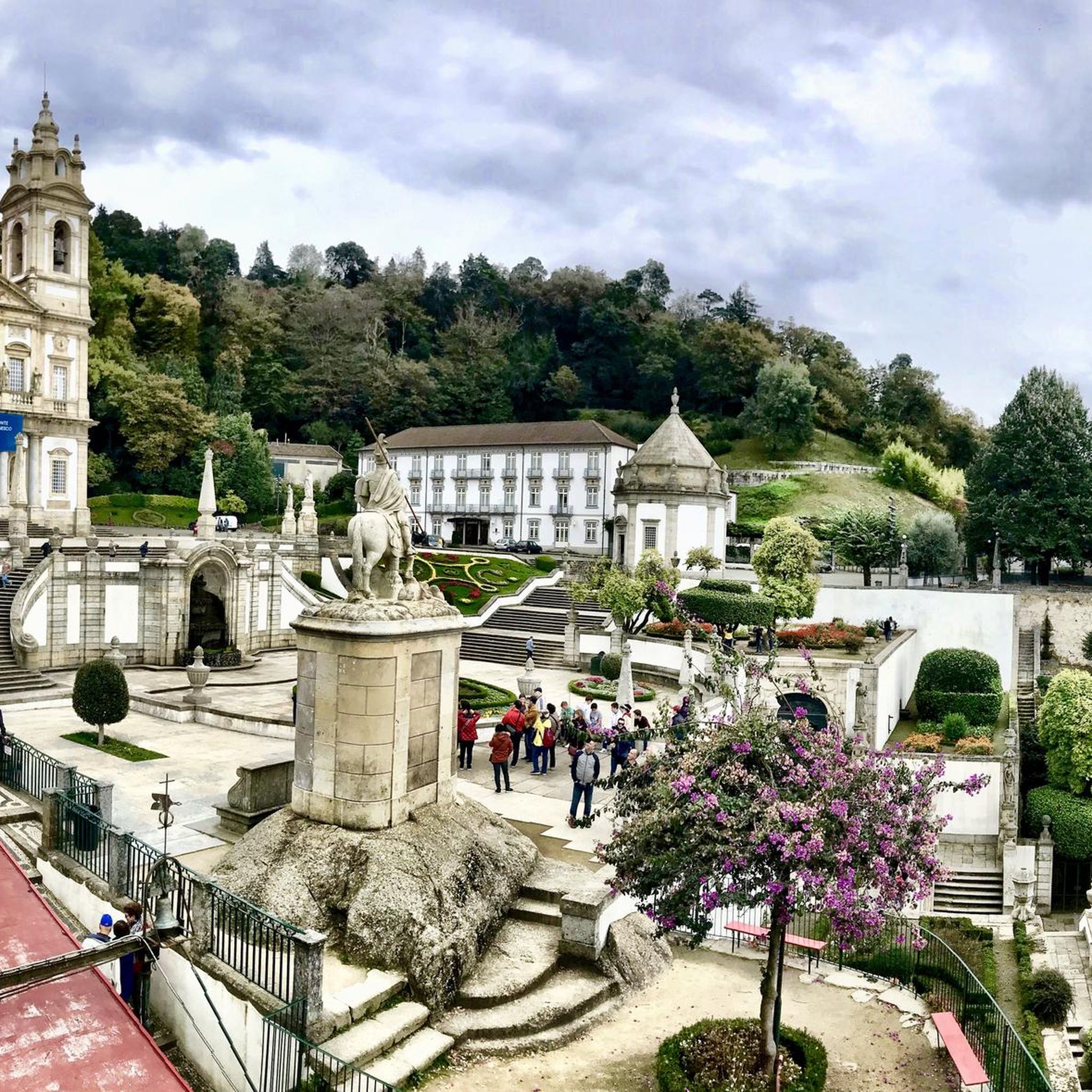
Nearly 600 steps lead up to the church, which was built at the end of the 18th century. Alternatively, you can take the funicular.
8
0
There is a gigantic organ in the cathedral.
5
2
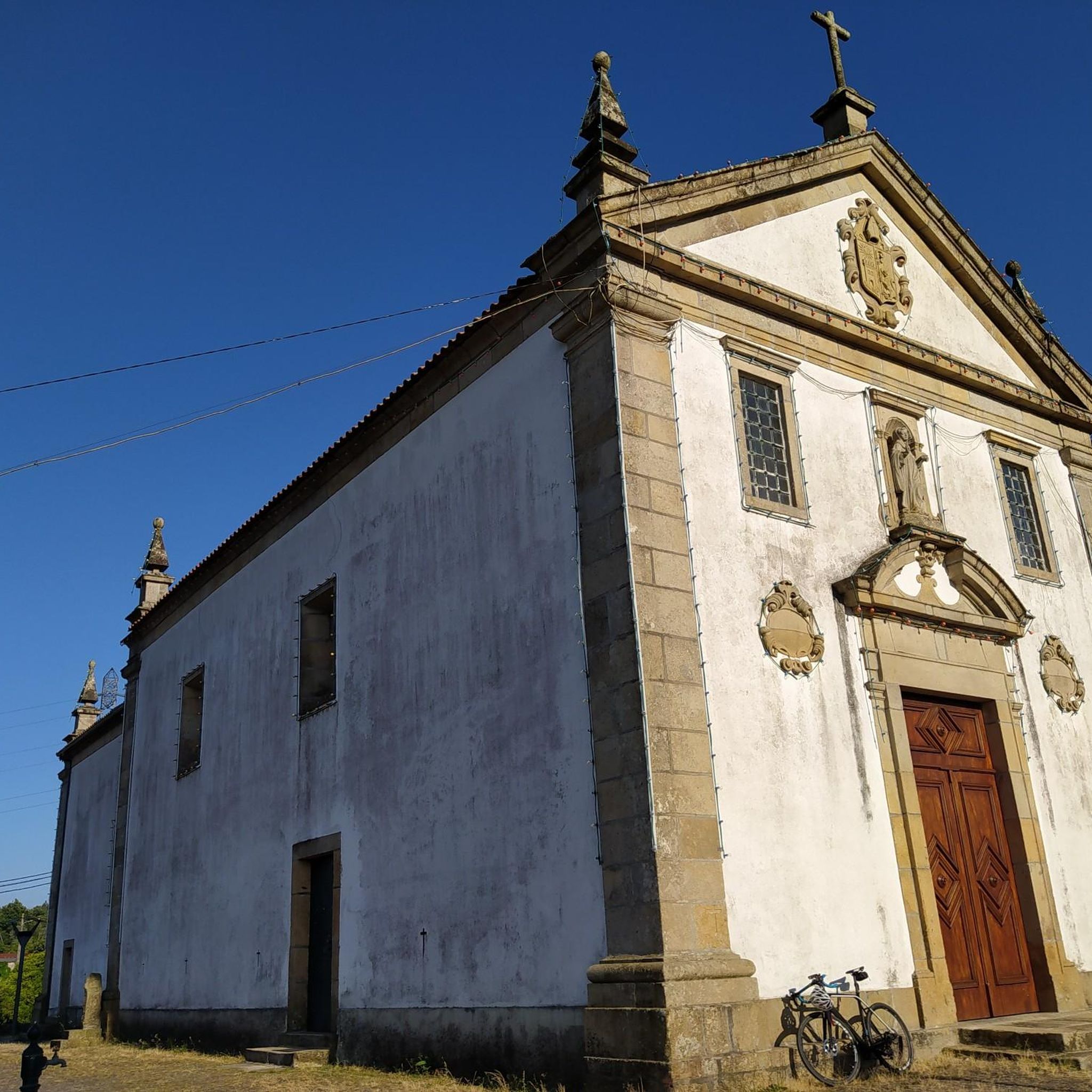
The Cathedral of Braga, the oldest archdiocese in Portugal
3
0
Frequently Asked Questions
What types of running trails can I find in Águas Santas?
Águas Santas, located within the municipality of Maia, offers a variety of running trails, primarily characterized by green urban parks and well-maintained paths. You'll find extensive green spaces in parks like Parque Urbano dos Moutidos and the recently inaugurated Parque Urbano das Águas Santas, which feature consolidated gravel trails ideal for jogging. Additionally, the Ecocaminho, a converted old railway line, provides a network of paths suitable for longer runs through diverse landscapes.
Are there any easy running routes for beginners in Águas Santas?
Yes, Águas Santas provides options for all ability levels, including easy routes perfect for beginners. The region's urban parks, such as Parque Urbano dos Moutidos and Parque Urbano das Águas Santas, are designed with accessible, well-maintained trails that are generally flat and offer a pleasant environment for a gentle jog. Overall, there are 3 easy routes available in the area.
What is the overall difficulty level of running trails in Águas Santas?
The running trails in Águas Santas offer a good mix of difficulty levels. While there are 3 easy routes, the majority of the 18 available trails are considered moderate (9 routes), providing a good challenge without being overly strenuous. For more experienced runners, there are also 6 difficult routes that include varied elevation and longer distances.
Are there any circular running routes in Águas Santas?
Yes, many of the running routes in Águas Santas are designed as loops, offering convenient circular paths. For example, the Running loop from Gualtar is a popular 6.4-mile (10.3 km) trail, and the Running loop from Palmeira covers 4.5 miles (7.3 km) through green spaces. These circular routes allow you to start and finish at the same point, making them ideal for a focused run.
What are the main attractions or points of interest I might see while running in Águas Santas?
While running in the broader region around Águas Santas, you might encounter several notable attractions. These include the impressive Sanctuary of Bom Jesus do Monte, known for its Baroque staircase, and the serene Bom Jesus Park. The urban parks within Águas Santas themselves, such as Parque Urbano dos Moutidos, offer pleasant green spaces and often provide privileged views over Maia.
Is it possible to access the running trails in Águas Santas by public transport?
Yes, the municipality of Maia, where Águas Santas is located, is committed to public green spaces, and these areas are generally well-integrated into the urban fabric. While specific public transport details for each trail vary, the urban parks like Parque Urbano dos Moutidos and Parque Urbano das Águas Santas are designed to be accessible to residents and visitors, suggesting good connectivity to local public transport networks.
Are there parking facilities available near the running trails in Águas Santas?
Given the focus on urban green spaces and accessibility, parks like Parque Urbano dos Moutidos and Parque Urbano das Águas Santas typically offer parking facilities for visitors. These parks are designed for public enjoyment and physical activity, making convenient access, including parking, a common feature.
What do other runners say about the trails in Águas Santas?
The running routes in Águas Santas are highly regarded by the komoot community, holding an average rating of 4.0 stars from over 20 reviews. Runners often praise the well-maintained trails, the tranquility of the green urban spaces, and the variety of routes available for different fitness levels. Over 200 runners have already explored the varied terrain using komoot.
Are the running trails in Águas Santas suitable for families?
Yes, the urban parks in Águas Santas, particularly Parque Urbano dos Moutidos and Parque Urbano das Águas Santas, are excellent choices for families. They feature extensive green spaces, well-maintained paths, and leisure areas, making them ideal for a family jog or walk. The easy and moderate routes are generally suitable for children and offer a safe and pleasant environment for outdoor activity.
Can I bring my dog on the running trails in Águas Santas?
While specific regulations for each park may vary, urban green spaces in Portugal often permit dogs on leash. The parks in Águas Santas, such as Parque Urbano dos Moutidos and Parque Urbano das Águas Santas, are designed for public enjoyment and physical activity, making them generally dog-friendly. It's always recommended to keep your dog on a leash and clean up after them to ensure a pleasant experience for everyone.
How long do the running routes in Águas Santas typically take to complete?
The duration of running routes in Águas Santas varies depending on the distance and your pace. For instance, the popular Running loop from Gualtar, which is 6.4 miles (10.3 km), typically takes about 1 hour and 5 minutes. A shorter route like the Running loop from Palmeira, at 4.5 miles (7.3 km), can be completed in approximately 52 minutes. There are also longer, more challenging routes that will take more time.
Most popular routes around Águas Santas
Most popular attractions around Águas Santas

Get inspired with the komoot mobile app


Explore more
Browse the best Running Trails & Routes in other regions.
