The best road cycling routes around Geboltskirchen
4.5
(130)
3,379
riders
221
rides
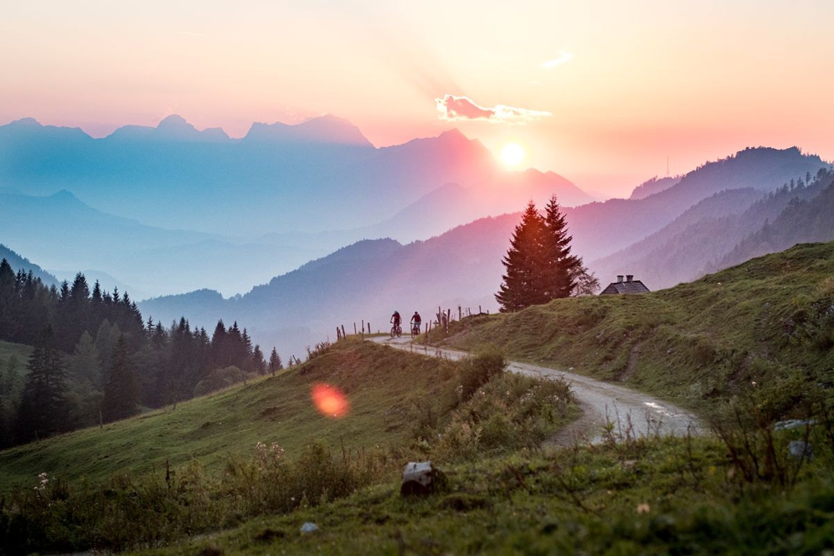
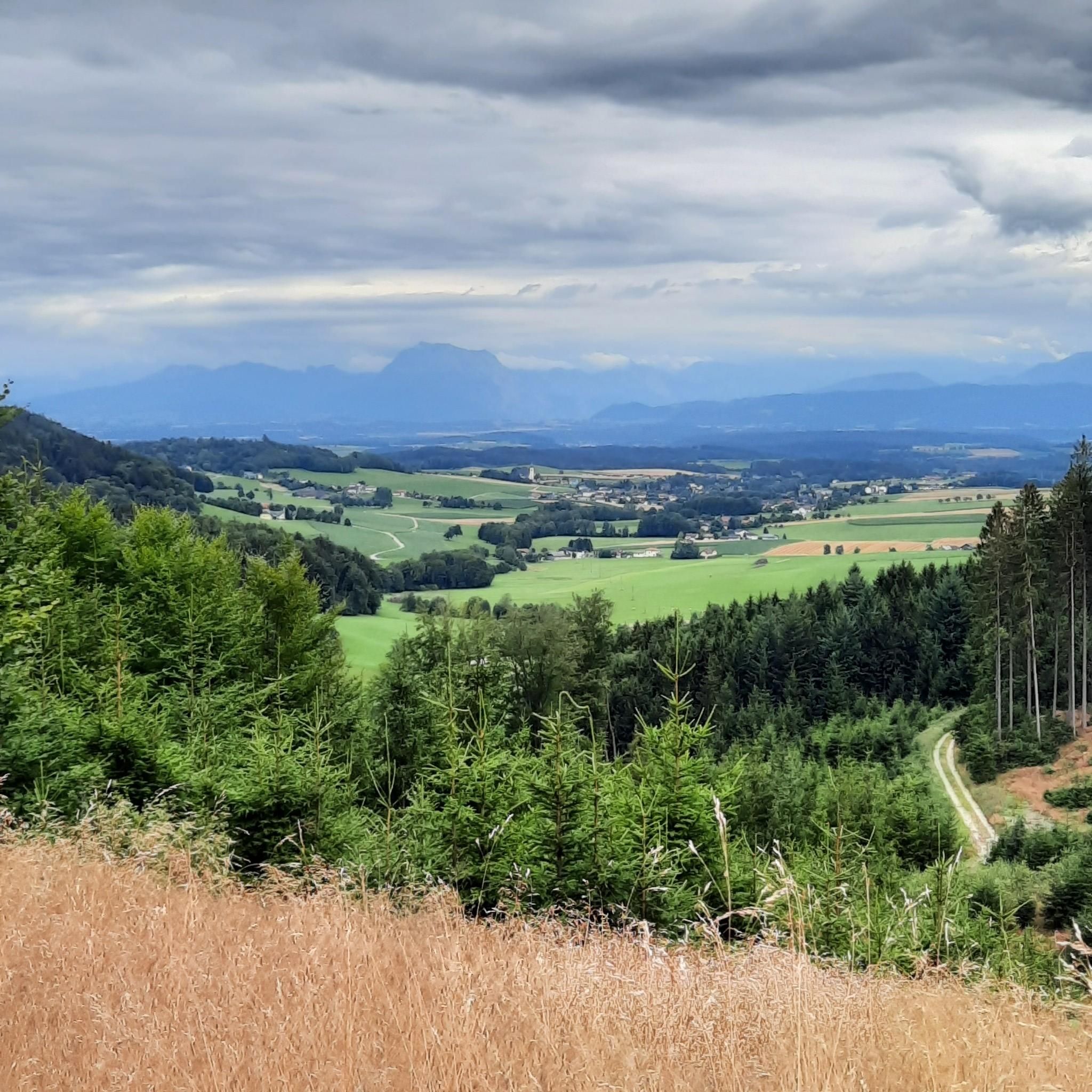
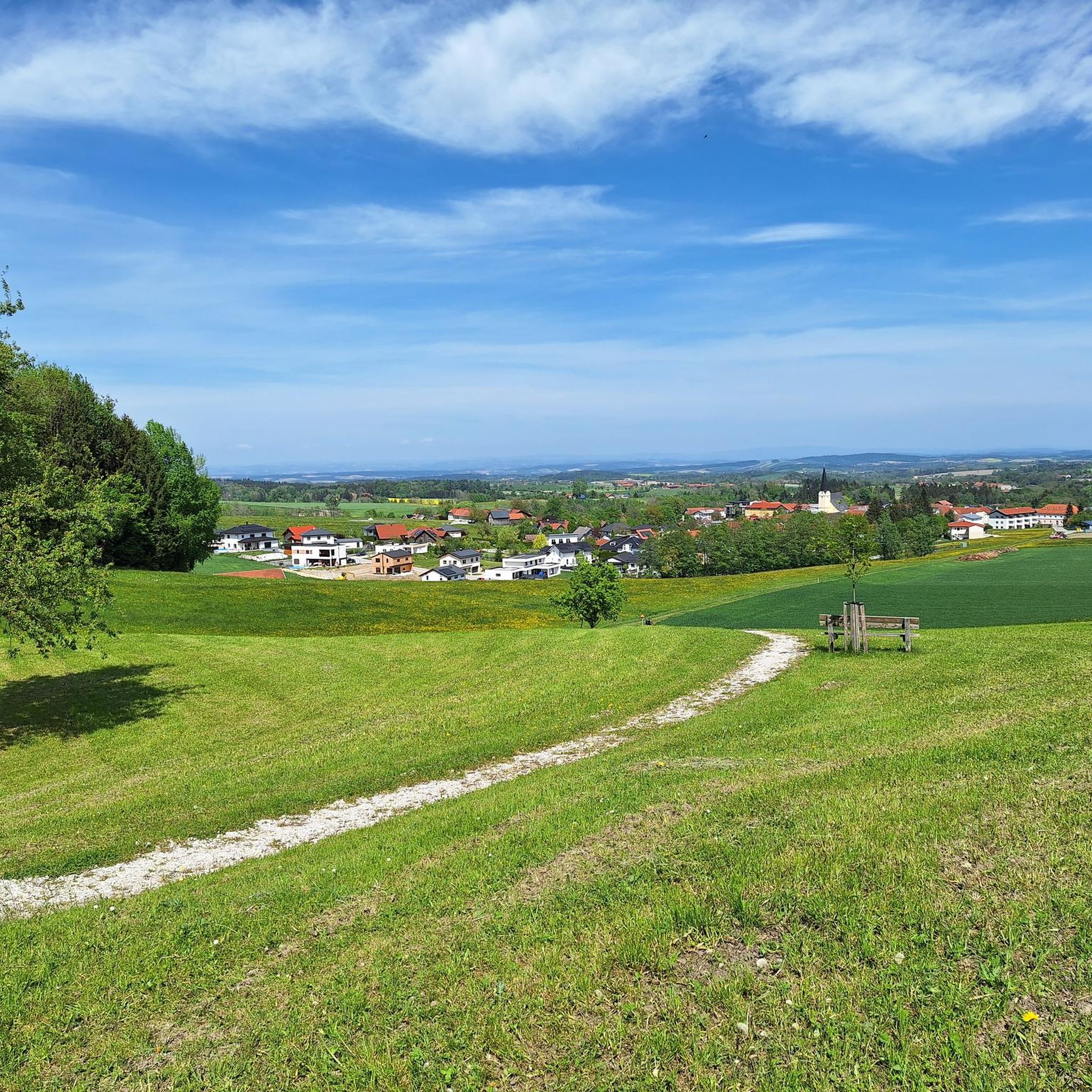
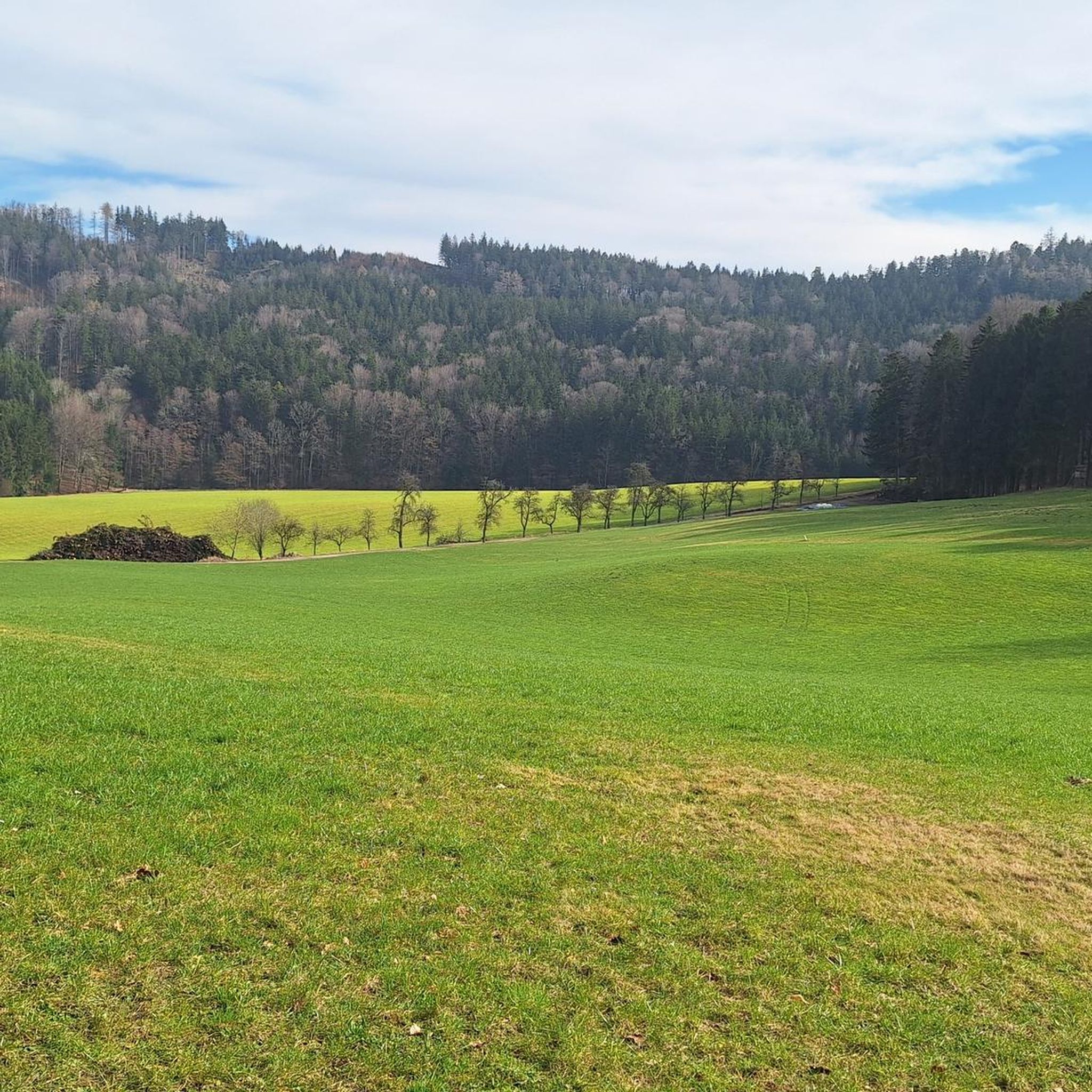
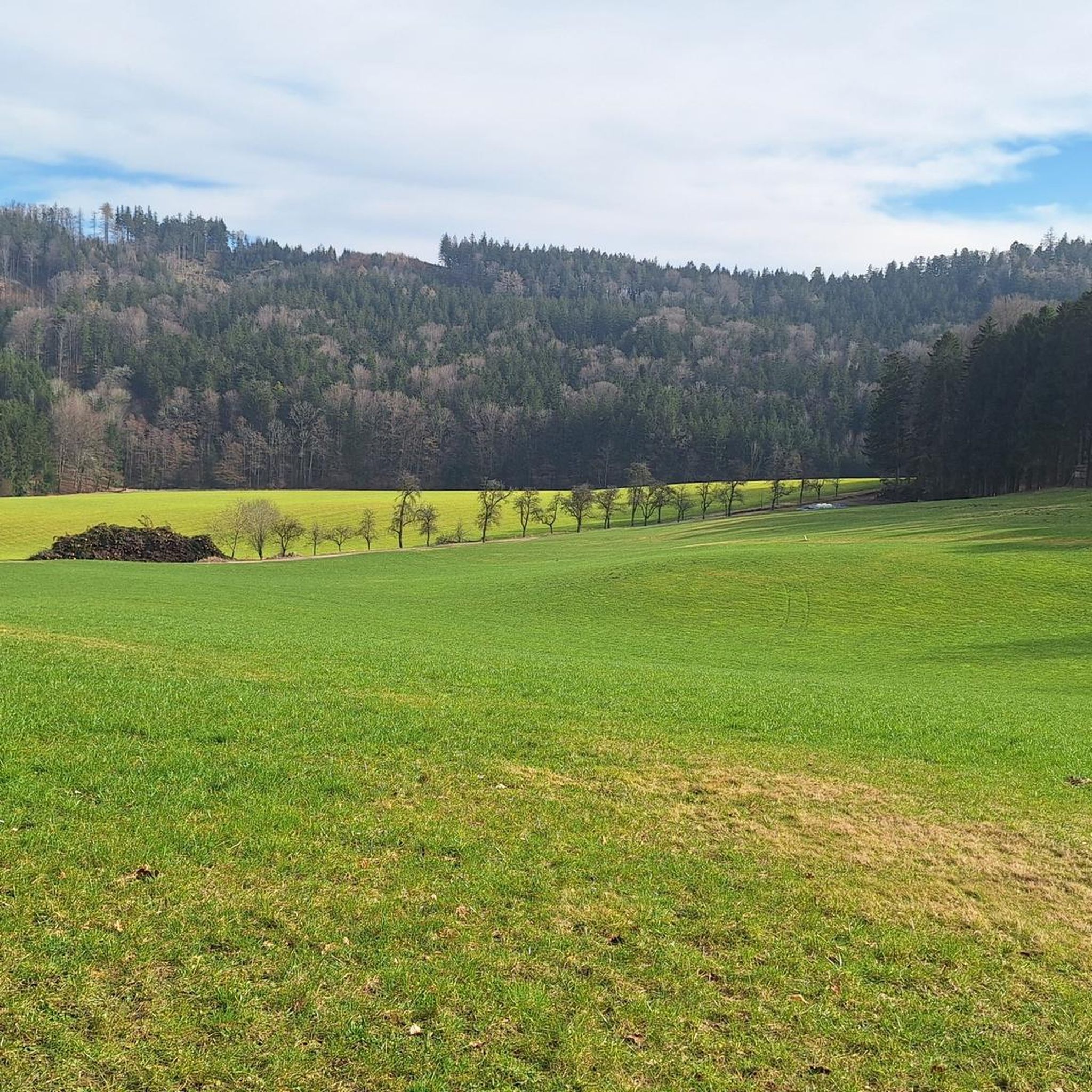
Road cycling routes around Geboltskirchen are characterized by a diverse landscape of rolling hills and extensive forests within the Hausruck region of Upper Austria. The area offers varied terrain, from gentle ascents in river valleys to more challenging climbs. The Trattnach River Valley provides flatter sections, while the Hausruck area features undulating topography. This combination ensures a dynamic cycling experience with both invigorating climbs and exhilarating descents.
Best road cycling routes around Geboltskirchen
- The most popular road cycling route is…
Last updated: July 1, 2026
4.0
(2)
63
riders
47.3km
02:00
330m
330m
Moderate road ride. Good fitness required. Mostly well-paved surfaces and easy to ride.
5.0
(2)
41
riders
20.8km
00:56
230m
230m
Easy road ride. Great for any fitness level. Mostly well-paved surfaces and easy to ride.

Sign up for free
26
riders
55.4km
02:56
950m
950m
Hard road ride. Very good fitness required. Mostly well-paved surfaces and easy to ride.
5.0
(1)
17
riders
53.0km
02:29
570m
570m
Moderate road ride. Good fitness required. Mostly well-paved surfaces and easy to ride.
12
riders
Moderate road ride. Good fitness required. Mostly well-paved surfaces and easy to ride.
Get access to more routes and recommendations from other explorers.
Sign up for free
Already have an account?
Our route recommendations are based on thousands of hikes, rides, and runs completed by other people on komoot.
Start today with a free account
Your next adventure awaits.
Login or Signup

Other adventures around Geboltskirchen

Tips from the Community

A castle worth seeing with a view over the Trattnach valley
0
0

Ried is situated in the heart of the Innviertel hill country, in a depression of the Alpine foothills north of the Hausruck Forest. The town's name derives from the Middle High German word "Riet" (also: "Rieth," "Reet," "Rohr," and similar terms), meaning reeds growing on riverbanks and marshy ground. A spot where the gradient of the two rivers, Oberach and Breitsach, slowed and saturated the soil gave the town its name. The two rivers converge north of the old town to form the Rieder Bach, a stream that flows for 2.6 kilometers before emptying into the Antiesen River outside the town limits. Ried im Innkreis lies at an altitude of 433 meters. It extends 3.2 kilometers from north to south and 3.6 kilometers from west to east, covering a total area of 6.7 square kilometers.
3
0

Haag am Hausruck is a charming market town in the Grieskirchen district of Upper Austria. Here are some interesting facts about Haag am Hausruck: 1. Population: - The municipality has approximately 2,352 residents (as of January 1, 2025), making it a vibrant and active community. 2. Location: - Haag am Hausruck is situated in a picturesque setting, surrounded by the beautiful landscape of the Hausruck Forest, which offers numerous recreational opportunities. 3. History: - The municipality has a rich history dating back to the early settlement period. Historic buildings and monuments bear witness to this past. 4. Leisure Opportunities: - Haag has been a popular destination since the 1960s. The infrastructure and good transport links make it easy to enjoy nature, whether hiking, cycling, or simply relaxing in nature. 5. **Events**: - Haag regularly hosts **events** and festivals that enrich community life and attract visitors. Haag am Hausruck is therefore a fascinating destination with much to offer both locals and tourists.
1
0
The Haager Lies Cycle Path is an impressive cycling and walking path in Austria that runs along a former railway line. Here are some interesting facts about this cycle path: 1. Route Length: - The cycle path stretches over 22 km and offers a scenic route through the region. 2. Start and End Points: - The route begins in Neukirchen bei Lambach and continues to Haag am Hausruck. 3. Difficulty: - The cycle path is considered difficult because it may contain sections with loose ground that are difficult to navigate. A good level of fitness is required. 4. Elevation Gains: - The tour includes up to 450 meters of elevation gain, making it a challenging but rewarding experience. 5. Nature Experience: - The cycle path leads through a beautiful landscape characterized by forests, meadows, and picturesque views. 6. **Duration**: - The average cycling time is approximately **1 hour and 35 minutes**, depending on individual fitness and breaks. The Hague Lies Cycle Route is therefore an ideal destination for cyclists and nature lovers who want to enjoy the beauty of nature.
0
0

Great facility with town hall inside - beautiful courtyard!
0
0

It makes a very good impression. However, it was closed on Tuesday.
0
0

Nice place with restaurants etc.
0
0
Frequently Asked Questions
How many road cycling routes are available around Geboltskirchen?
Geboltskirchen offers a wide variety of road cycling routes, with over 220 tours available. These routes cater to different preferences, ranging from easy rides to more challenging climbs through the region's diverse landscape.
What kind of terrain can I expect on road cycling routes near Geboltskirchen?
The road cycling routes around Geboltskirchen feature a diverse landscape. You'll encounter rolling hills and extensive forests, particularly in the Hausruck region. The Trattnach River Valley offers flatter, more relaxed sections, while areas like the Hausruck itself provide undulating topography with invigorating climbs and exhilarating descents.
Are there road cycling routes suitable for beginners or those seeking an easier ride?
Yes, Geboltskirchen has options for all skill levels. Approximately 30 of the available road cycling routes are classified as easy. The Haager Lies Cycle Path – Malvent Snack Station loop from Hueb is an excellent example of an easy route, offering gentle terrain and scenic views. The Trattnachtal Bike Path R17 also provides a flatter, more relaxed experience along the river.
Where can I find more challenging road cycling routes around Geboltskirchen?
For those seeking a challenge, there are over 30 difficult road cycling routes in the area. The Hausruck region, with its elevated areas and significant climbs, is ideal. Consider the Hausruck Ridge High Point – Wolfsegg 19% Climb loop from Erlet, which features substantial elevation gain and a notable climb.
What scenic viewpoints or natural features can I discover while road cycling in Geboltskirchen?
Road cycling in Geboltskirchen offers numerous scenic rewards. The Hausruck region provides spectacular views of the surrounding countryside. The Trattnach River Valley offers idyllic green landscapes. While not directly in Geboltskirchen, the Göblberg Observation Tower in the broader region is accessible via cycling routes and offers rewarding panoramic views.
Are there any interesting castles or historical sites along the road cycling routes?
Yes, the region around Geboltskirchen is rich in historical sites. You can find several castles, such as Wolfsegg Castle, Aistersheim Water Castle, and Schloss Aigen. The Grieskirchen Town Center – Tollet Castle loop from Geboltskirchen specifically connects towns and historical sites, including Tollet Castle.
Are there any circular road cycling routes starting near Geboltskirchen?
Yes, many road cycling routes in the area are circular. The Grieskirchen Town Center – Tollet Castle loop from Geboltskirchen is a popular example. Additionally, the wider Vitalwelt 7 Towns Route, which Geboltskirchen is part of, is an approximately 86-kilometer circular route exploring the cultural and natural diversity of the region.
What do other road cyclists enjoy most about road cycling in Geboltskirchen?
The road cycling experience in Geboltskirchen is highly rated by the komoot community, with an average score of 4.5 stars from over 98 reviews. Cyclists often praise the diverse landscape, which offers a dynamic experience with both invigorating climbs and exhilarating descents, as well as the well-maintained paths and scenic views.
Are there places to stop for refreshments or snacks along the routes?
Yes, you'll find various places to stop for refreshments. The Malvent Snack Station is a notable stop, often featured on routes like the Haager Lies Cycle Path. Other huts and forest inns, such as the Luisenhöhe Forest Inn, are also available in the broader region.
Can I combine road cycling with visits to other attractions in the area?
Absolutely. Many routes are designed to pass by or near points of interest. For instance, the Lambach Abbey – Haager Lies Cycle Path loop from Erlet allows you to visit the historic Lambach Abbey. The region's castles and huts also provide excellent opportunities to combine your ride with cultural or natural exploration.
What is the best time of year for road cycling in Geboltskirchen?
The region's rolling hills and forests offer a refreshing atmosphere, making spring, summer, and early autumn ideal for road cycling. During warmer months, the extensive forests provide welcome shade. The varied terrain ensures an engaging ride throughout these seasons.
Are there any long-distance road cycling routes that connect to Geboltskirchen?
Yes, Geboltskirchen is near the origin of the Trattnach River, and the Trattnachtal Bike Path R17 follows this river for 69 kilometers down to Eferding. This path connects with the larger Danube Bike Path, offering opportunities for extended tours and long-distance cycling adventures.
Most popular routes around Geboltskirchen
Most popular attractions around Geboltskirchen

Get inspired with the komoot mobile app


Explore more
Browse the best Road cycling routes in other regions.
