The best road cycling routes around Vilar Do Chão
4.6
(13)
417
riders
29
rides
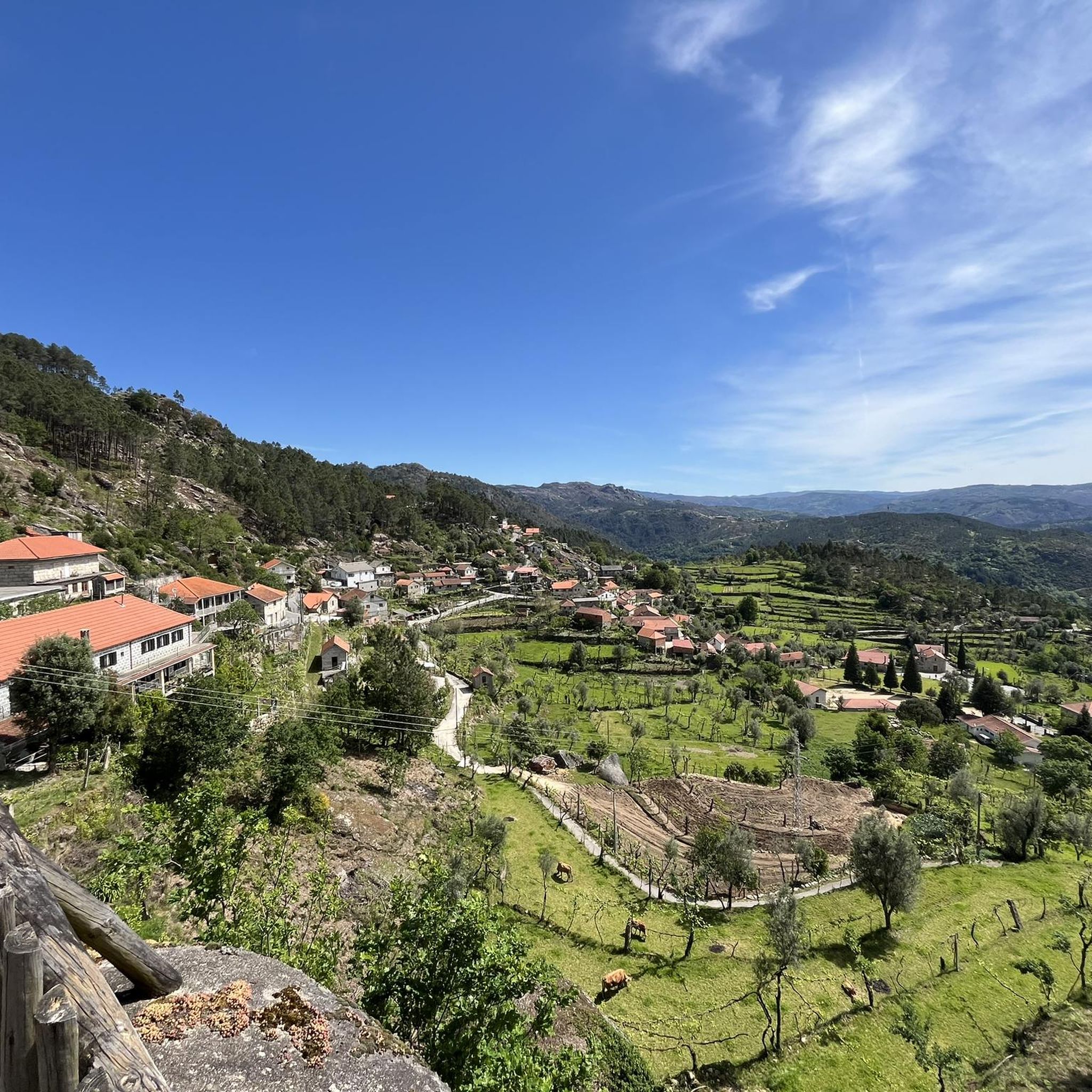
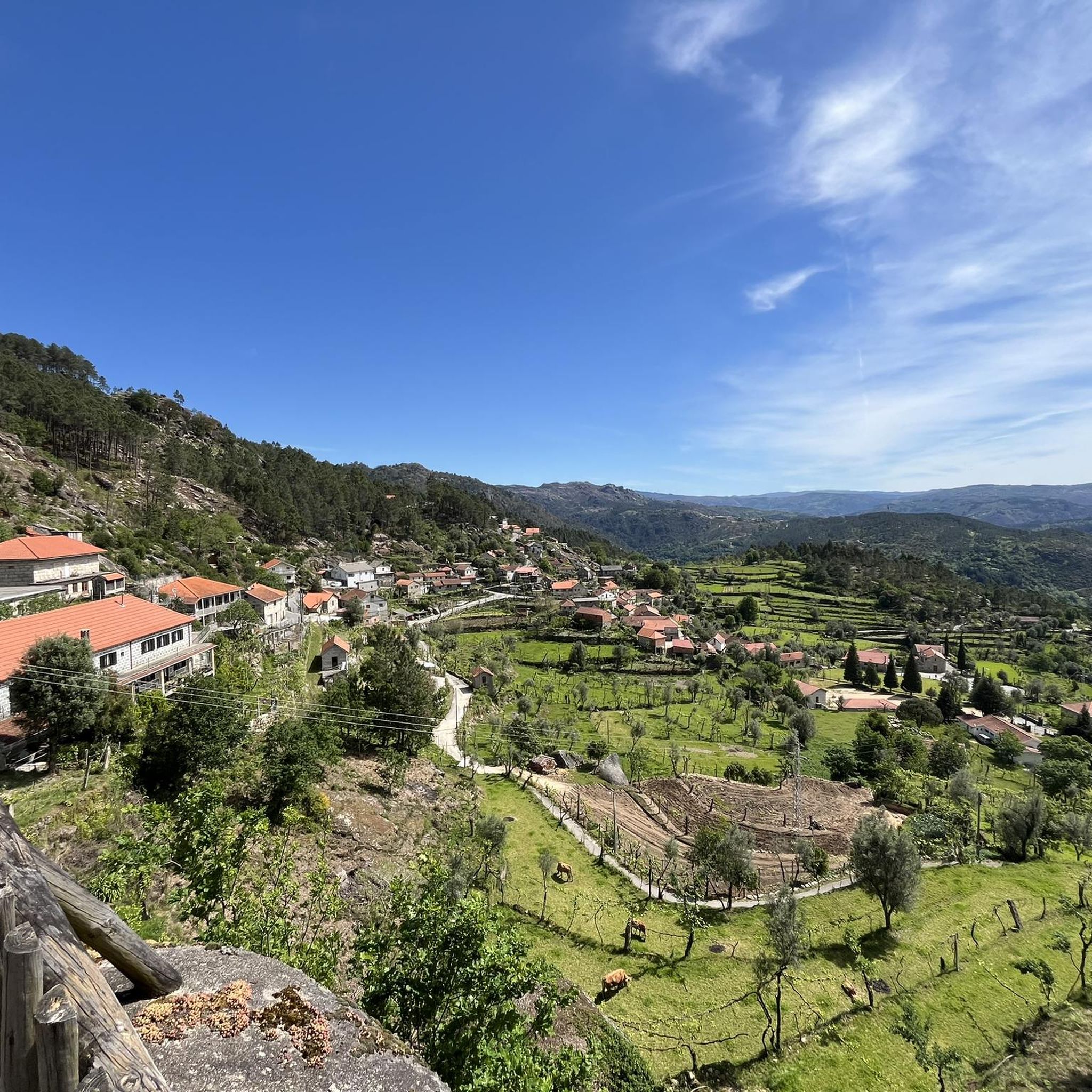
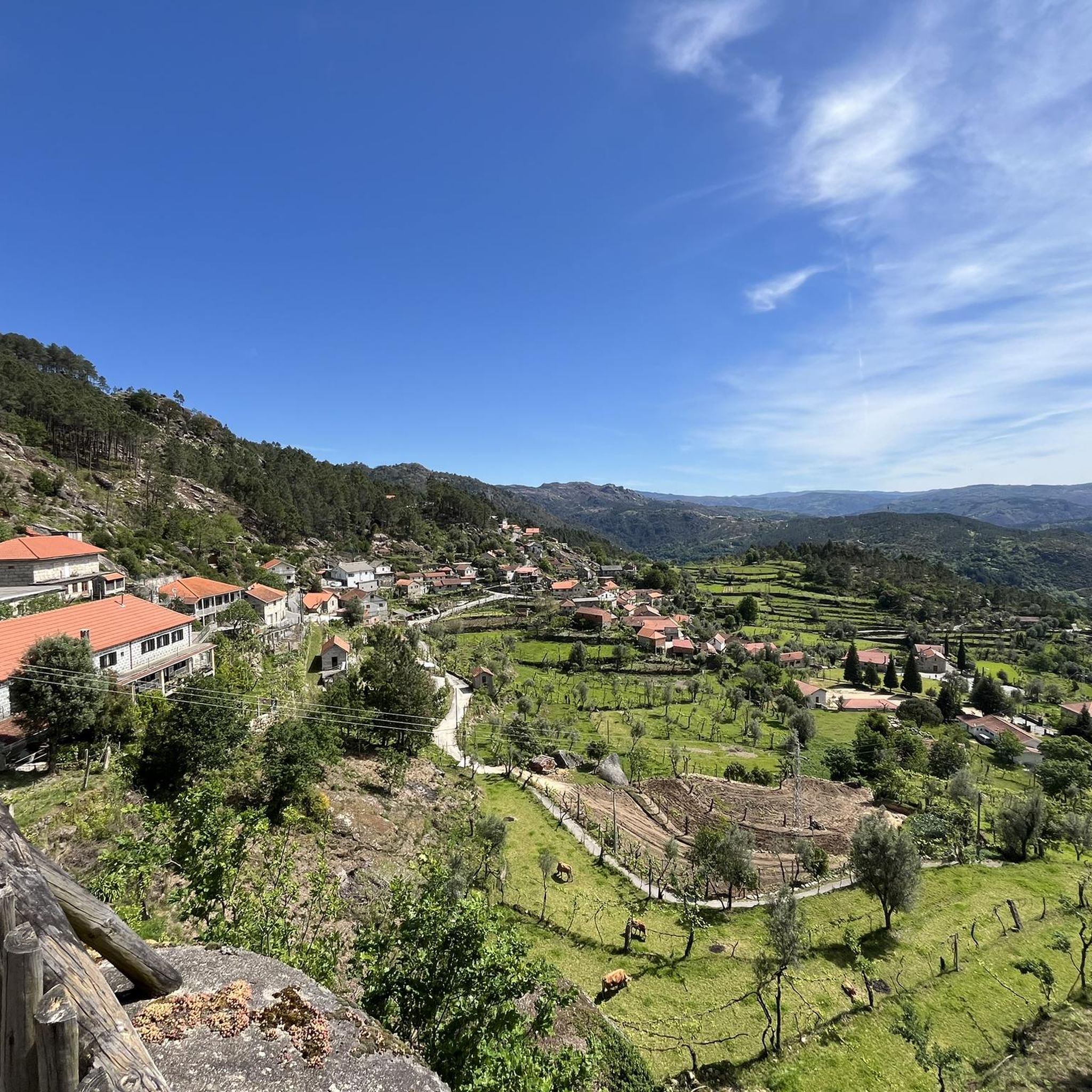
Road cycling around Vilar Do Chão, a village within the municipality of Vieira do Minho, offers routes through a landscape characterized by imposing mountains, verdant valleys, and clear reservoirs. The region's topography, situated between the Serra da Cabreira and the Peneda-Gerês National Park, provides varied terrain with significant elevation changes. Cyclists can expect challenging climbs and scenic descents across this diverse natural environment.
Best road cycling routes around Vilar Do Chão
- The most popular road cycling route is Church of…
Last updated: July 12, 2026
4.3
(6)
97
riders
75.3km
03:49
1,250m
1,250m
Hard road ride. Very good fitness required. Mostly well-paved surfaces and easy to ride.
5.0
(1)
17
riders
50.9km
02:41
950m
960m
Hard road ride. Very good fitness required. Mostly well-paved surfaces and easy to ride.

Sign up for free
22
riders
34.5km
01:57
760m
760m
Moderate road ride. Good fitness required. Mostly well-paved surfaces and easy to ride.
16
riders
64.9km
03:10
950m
950m
Hard road ride. Very good fitness required. Mostly well-paved surfaces and easy to ride.
10
riders
114km
05:56
1,900m
1,900m
Hard road ride. Very good fitness required. Mostly well-paved surfaces and easy to ride.
Get access to more routes and recommendations from other explorers.
Sign up for free
Already have an account?
Our route recommendations are based on thousands of hikes, rides, and runs completed by other people on komoot.
Start today with a free account
Your next adventure awaits.
Login or Signup
Tips from the Community

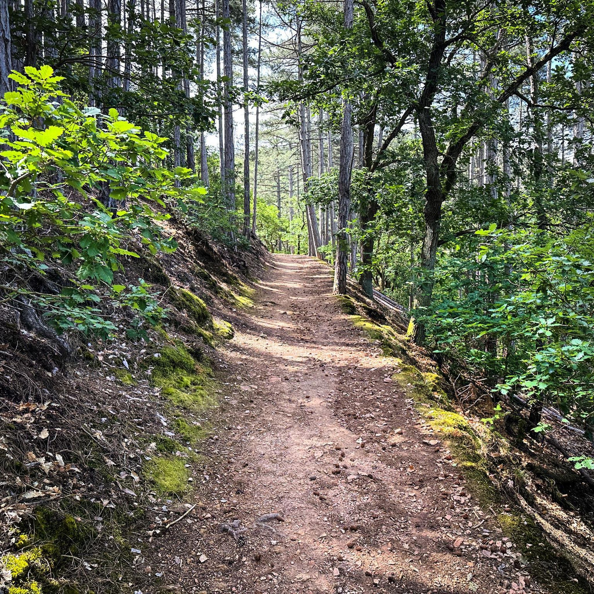
Nice bike path, nice asphalt. Fairly wide, but only in a few spots is the vegetation recovering. Recommended 👍
1
0

Dam with a fantastic view, and also provides quick access to both banks...
0
0


The Caniçada Dam (Portuguese: Barragem da Caniçada) is located in the Northern region of Portugal in the Braga district near the municipality of Caniçada. It dams up the Cávado River and its tributary Rio Gerês to form a four-armed reservoir (port. Albufeira (da Barragem) da Caniçada). In the middle of the reservoir, near the point where the Rio Gerês originally flowed into the Rio Cávado, the lake is bridged by two bridges. To the north of the reservoir is the Peneda-Gerês National Park and part of the lake area belongs to the national park. The city of Braga is located about 15 km southwest of the Caniçada dam. Upstream, the next hydroelectric power station on the Cávado is the Salamonde dam.
2
0

An impressive build! Built in 1955, it has a height of 76m and a crown length of 246m. The hydroelectric power station located there produces an average of 346 GWh per year.
0
0

Great spot to relax and enjoy the view, right on the water.
0
0


Great for a quick stop on the way to Vieira do Minho. Changes to have car traffic are seldom.
0
0
Frequently Asked Questions
What kind of terrain can I expect when road cycling around Vilar Do Chão?
The region around Vilar Do Chão, nestled within Vieira do Minho, is characterized by its diverse and often challenging terrain. You'll encounter imposing mountains, verdant valleys, and routes near crystal-clear reservoirs. Cyclists should be prepared for significant elevation changes, offering both strenuous climbs and exhilarating descents, especially given its proximity to the Serra da Cabreira and the Peneda-Gerês National Park.
Are there road cycling routes for all skill levels in Vilar Do Chão?
Yes, the area offers a variety of road cycling routes catering to different abilities. While the majority of routes are classified as moderate or difficult, there is at least one easy route available. In total, you'll find 1 easy, 10 moderate, and 20 difficult routes to explore.
What are some challenging road cycling routes near Vilar Do Chão?
For experienced cyclists seeking a challenge, routes like the Monument to Justice of Fafe loop from Rossas stand out, covering over 114 km with significant elevation gain. Other difficult options include the Church of Saint Peter – Valdosende Parish Church loop from Vieira do Minho, a 75 km ride, and the Praia da Rola loop from Rossas 1, which is around 50 km with varied terrain.
What scenic views or landmarks can I expect on road cycling routes near Vilar Do Chão?
Road cycling routes in this region offer stunning natural beauty. You can expect panoramic vistas over mountainous landscapes, especially towards the Peneda-Gerês National Park. Viewpoints like Senhora da Fé provide breathtaking scenery. Some routes also pass near reservoirs such as Ermal and Caniçada, offering different picturesque backdrops. Historically, Vilar do Chão itself features the Parochial Church and Ponte da Pértega.
Are there any waterfalls accessible from road cycling routes?
While not directly on every road cycling route, the wider region around Vilar Do Chão is home to several beautiful waterfalls. Notable ones include the Fecha de Barjas Waterfall (Tahiti), Tahiti Waterfall, and Rajada Waterfall. You might find these as nearby attractions or short detours from some cycling paths.
What do other road cyclists enjoy the most about road cycling in Vilar Do Chão?
The area is highly rated by the komoot community, with an average score of 4.6 stars from over 12 reviews. Cyclists often praise the diverse terrain, which provides both challenging climbs and rewarding descents, as well as the stunning natural beauty of the mountainous landscapes and views towards the Peneda-Gerês National Park.
Are there any road cycling routes that offer views of the National Park?
Yes, one popular route is the View of the National Park – Venda Nova Dam loop from Vieira do Minho. This 64.9 km trail leads through areas with direct views of the National Park and also passes near the Venda Nova Dam, offering a combination of natural beauty and impressive engineering.
Are there road cycling routes that pass by reservoirs?
Absolutely. The region features several reservoirs, and some road cycling routes incorporate them into their scenic paths. For instance, the Caniçada Reservoir – Caniçada Dam loop from Vieira do Minho is a moderate 34.5 km route that takes you past the Caniçada Reservoir and its dam, offering beautiful waterside views.
What is the best time of year for road cycling in Vilar Do Chão?
Given the region's mountainous terrain and proximity to the Peneda-Gerês National Park, spring and autumn generally offer the most pleasant conditions for road cycling. Temperatures are milder, and the natural scenery is vibrant. Summers can be hot, especially on climbs, while winters may bring colder temperatures and potentially more challenging weather conditions.
Are there any circular road cycling routes available?
Yes, many of the road cycling routes around Vilar Do Chão are designed as loops, allowing you to start and finish at the same point. Examples include the Church of Saint Peter – Valdosende Parish Church loop from Vieira do Minho and the Praia da Rola loop from Rossas 1, providing convenient options for your ride.
How many road cycling routes are available in the Vilar Do Chão area?
There are over 30 road cycling routes available around Vilar Do Chão, with 31 tours documented on komoot. This includes a mix of easy, moderate, and difficult options to suit various preferences and fitness levels.
Most popular routes around Vilar Do Chão
Most popular attractions around Vilar Do Chão

Get inspired with the komoot mobile app


Explore more
Browse the best Road cycling routes in other regions.
