The best walks and hikes around Carragosa
4.4
(206)
717
hikers
24
hikes
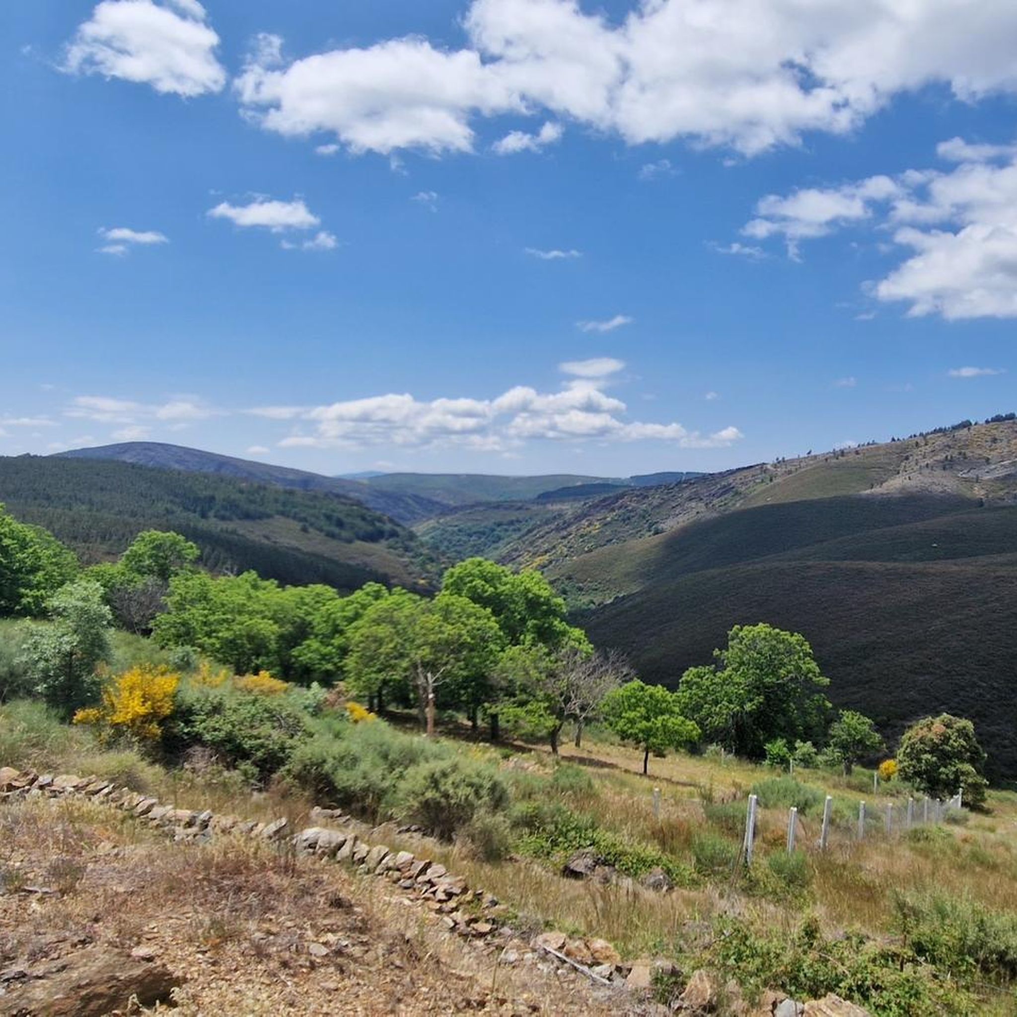
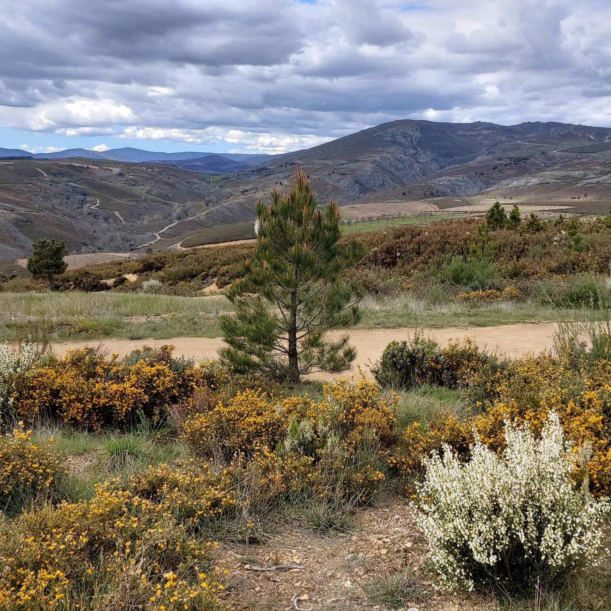
Hiking around Carragosa offers a diverse landscape within the Montesinho Natural Park, characterized by rolling hills and natural water features. The region features a network of trails that traverse varied terrain, from forested paths to open areas. Hikers can explore routes that lead to waterfalls and provide views of the surrounding natural park. The elevation changes are generally moderate, making the area accessible for various hiking experiences.
Best hiking trails around Carragosa
- The most popular hiking route is PR3 Porto…
Last updated: July 2, 2026
4.7
(65)
198
hikers
7.99km
02:23
260m
260m
Moderate hike. Good fitness required. Easily-accessible paths. Suitable for all skill levels.
4.2
(26)
111
hikers
7.89km
02:16
200m
190m
Moderate hike. Good fitness required. Easily-accessible paths. Suitable for all skill levels.

Sign up for free
4.8
(5)
12
hikers
13.2km
03:33
160m
160m
Moderate hike. Good fitness required. Easily-accessible paths. Suitable for all skill levels.
4.4
(5)
17
hikers
16.8km
04:44
350m
350m
Moderate hike. Good fitness required. Easily-accessible paths. Suitable for all skill levels.
5.0
(2)
5
hikers
5.35km
01:38
180m
180m
Easy hike. Great for any fitness level. Easily-accessible paths. Suitable for all skill levels.
Get access to more routes and recommendations from other explorers.
Sign up for free
Already have an account?
Our route recommendations are based on thousands of hikes, rides, and runs completed by other people on komoot.
Start today with a free account
Your next adventure awaits.
Login or Signup

Tips from the Community

At this point, the trail invites you to embark on a little adventure: crossing the bed of a stream on the Baceiro River. When the rain lets up, the crossing is easy. And with a touch of excitement!
1
0
Along the Baceiro River, three community-run mills still stand, two in Vilarinho and one in Cova de Lua. This is one of them, a living relic of local ingenuity, which uses the power of water to grind grain and tell stories of a time when sharing and ingenuity went hand in hand.
2
0
Hidden in the Montesinho Natural Park, Poço Negro is a secret gem of Bragança: a small lagoon with crystal-clear waters, fed by a delicate waterfall from the Sabor River.
2
0
This dirt track winds alongside the Sabor River, which flows through a valley covered in green alder, ash and poplar trees. All around, immense cliffs rise up like natural walls, making you feel tiny amidst the grandeur of the landscape.
2
0
In the heart of the Montesinho Natural Park, Praia Fluvial de França stretches out peacefully along the banks of the Sabor River. Unsupervised, but perfect for a peaceful swim, it is also the ideal place for picnics, with a welcoming and well-equipped picnic area. A simple yet charming retreat.
3
0

Vilarinho is located 16 km northwest of Bragança, within the Montesinho Natural Park. It belongs to the parish of Espinhosela, which includes the villages of Terroso and Cova de Lua. An autonomous parish and a leaseholder of the king in the Inquisitions of 1258, it was taxed by D. Dinis at 70 pounds per year to fund the war against the Moors. Between the 16th and 18th centuries, the College of Jesus of Bragança held heritage assets here. Both the main church of São Cipriano, built within the village, and the Chapel of Santo Amaro, located 1 km southeast, on a hill of 819 m, have existed for centuries. The current Chapel is located in an ancient and fortified Iron Age settlement, with attested archaeological remains. It was later Romanized and Christianized. In the mid-16th century, the Temples were in a deplorable state in terms of sustainability and dignity. In 1699, with the facade in ruins and the doors open, it was decided to demolish the Chapel and use and sell materials to renovate the Church.
2
0
Located in the Montesinho Natural Park, at an altitude of over 1000 metres, in the municipality of Bragança. Completely restored but still genuine, it consists of several houses that maintain the traditional architecture of Trás-os-Montes, built in granite with slate roofs and wooden balconies, a place of cosiness. The walking tour, which is around 10km long, takes you along trails that also include the villages of França and Portelo. It is a visit of contrasts, where the green of the pastures mixes with flowers of all colours and the red of the woods.
1
0
The Montesinho Natural Park covers an area of approximately 75 thousand hectares and is located in the Terra Fria Transmontana region, in the extreme northeast of Portugal, bordering the Spanish communities of Galicia and Castile-Leon. It covers the territories of two municipalities, namely Bragança and Vinhais. As a curiosity, you should know that there are more than 90 villages within the Montesinho Natural Park and that the highest point in the park is the Serra do Montesinho, whose peak is 1,486 metres above sea level.
2
0
Frequently Asked Questions
How many hiking trails are available around Carragosa?
Carragosa offers a network of over 25 hiking trails, catering to various skill levels. You'll find a diverse range of routes, from easy strolls to more challenging treks, all within the beautiful Montesinho Natural Park.
Are there easy hiking trails suitable for beginners in Carragosa?
Yes, Carragosa has several easy hiking options perfect for beginners or those looking for a relaxed walk. There are 7 easy routes available, such as the Montesinho Natural Park – Montesinho village loop from Montezinho, which is 3.3 miles (5.3 km) long and takes about 1 hour 38 minutes to complete.
What is the typical length and duration of hikes in Carragosa?
Hikes in Carragosa vary in length and duration. You can find shorter routes like the easy 3.3-mile (5.3 km) Montesinho Natural Park – Montesinho village loop from Montezinho, which takes under 2 hours. Longer, moderate trails like the View of the Montesinho Hills – Montesinho Village loop from Montesinho cover about 10.5 miles (16.8 km) and can take around 4 hours 44 minutes.
Are there family-friendly hiking options in Carragosa?
Many of the easy and moderate trails in Carragosa are suitable for families. The region's generally moderate elevation changes and well-maintained paths within the Montesinho Natural Park make it accessible for children and adults alike. Look for routes marked as 'easy' for the most family-friendly experiences.
Are dogs allowed on the hiking trails around Carragosa?
As Carragosa is located within the Montesinho Natural Park, dogs are generally permitted on trails, but it's always recommended to keep them on a leash to protect wildlife and ensure the safety of other hikers. Please be mindful of park regulations regarding pets.
When is the best time of year to go hiking in Carragosa?
The best time for hiking in Carragosa is typically during spring (April to June) and autumn (September to October). During these seasons, the weather is mild, and the natural landscapes of Montesinho Natural Park are particularly vibrant with blooming flora or rich autumnal colors. Summers can be hot, and winters may bring colder temperatures and occasional snow at higher elevations.
Are there any hiking routes in Carragosa that pass by waterfalls?
Yes, the region is known for its natural water features. A notable route is the Trail of the Poço Negro Waterfall — Parque Natural de Montesinho, an 8.2-mile (13.2 km) trail that leads directly to a significant waterfall, offering a refreshing highlight during your hike.
What can I see along the hiking trails around Carragosa?
Beyond the natural beauty of Montesinho Natural Park, you can discover various points of interest. Hikers might encounter historical sites like Domus Municipalis de Bragança, or natural monuments such as the ancient European chestnut (Castanea sativa). The Montesinho Village itself is a charming settlement worth exploring.
Is parking available near the hiking trails in Carragosa?
While specific parking information for each trailhead isn't always listed, most trailheads within the Montesinho Natural Park, especially near villages like Montesinho or starting points for popular routes, typically offer designated parking areas or roadside parking. It's advisable to check local signage upon arrival.
What do other hikers enjoy the most about hiking in Carragosa?
The hiking experience in Carragosa is highly rated by the komoot community, with an average score of 4.4 stars from over 160 reviews. Hikers frequently praise the diverse landscapes of Montesinho Natural Park, the scenic waterfalls, and the well-balanced experience offered by trails like the PR4 Ornal Trail.
Are there any circular hiking routes in Carragosa?
Yes, many of the trails in Carragosa are designed as circular routes, allowing you to start and end at the same point without retracing your steps. For example, the PR3 Porto Furado Trail is a popular circular option that explores the local landscape with gentle ascents.
Most popular attractions around Carragosa

Get inspired with the komoot mobile app


Explore more
Browse the best Hikes in other regions.
