The best road cycling routes around Gau-Weinheim
4.5
(200)
3,639
riders
192
rides
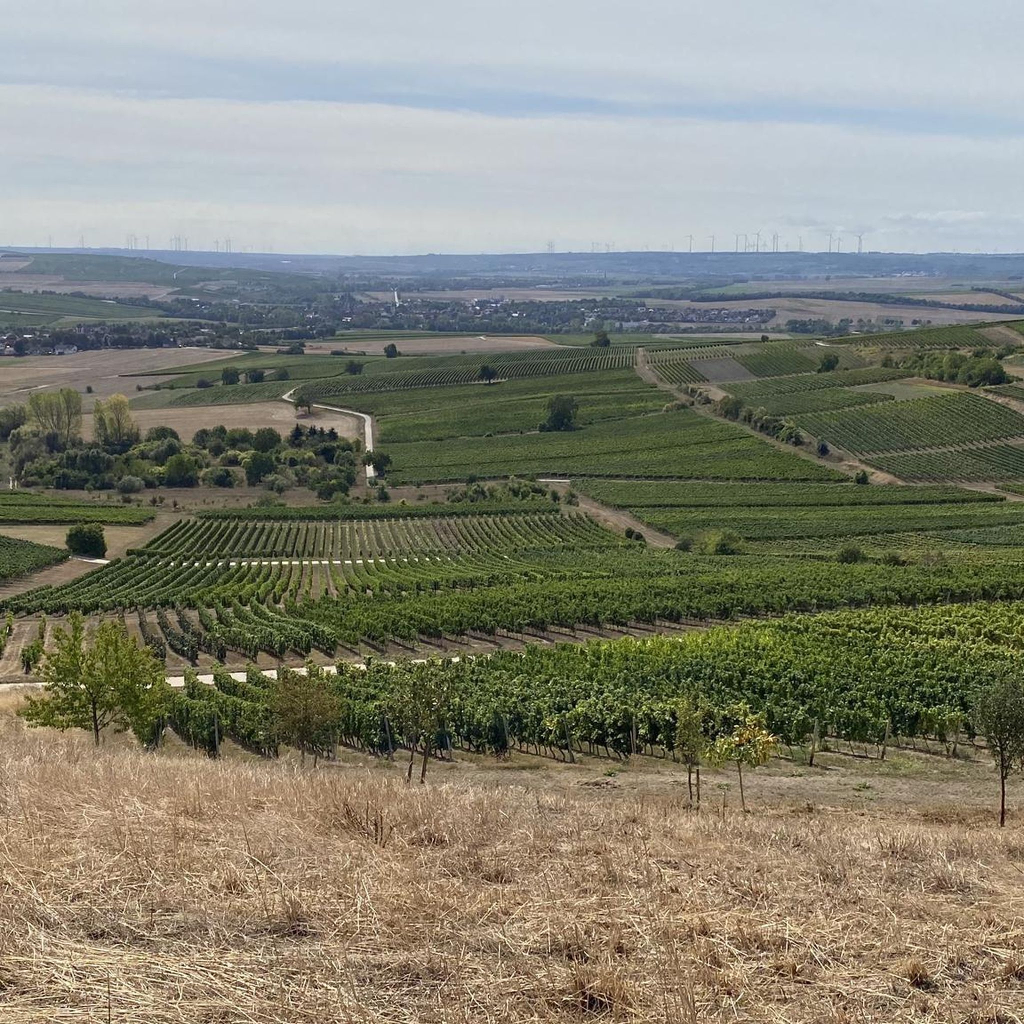
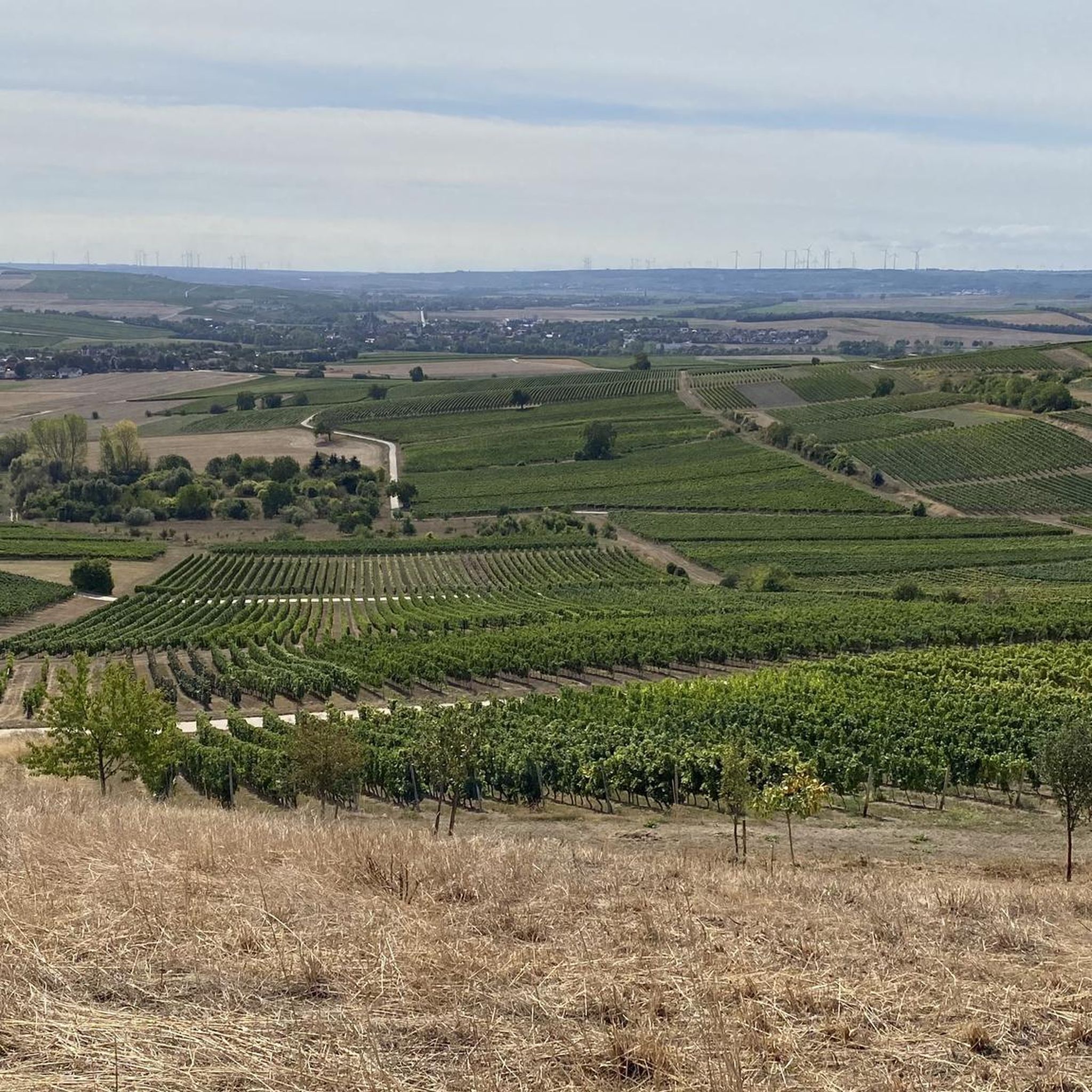
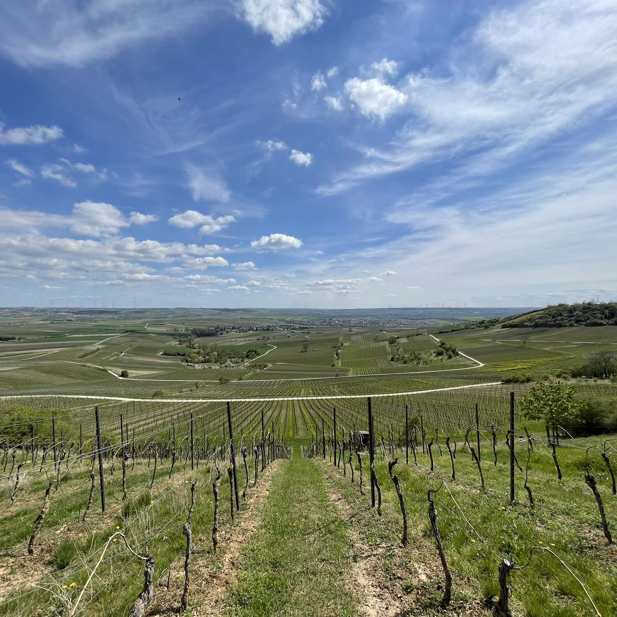
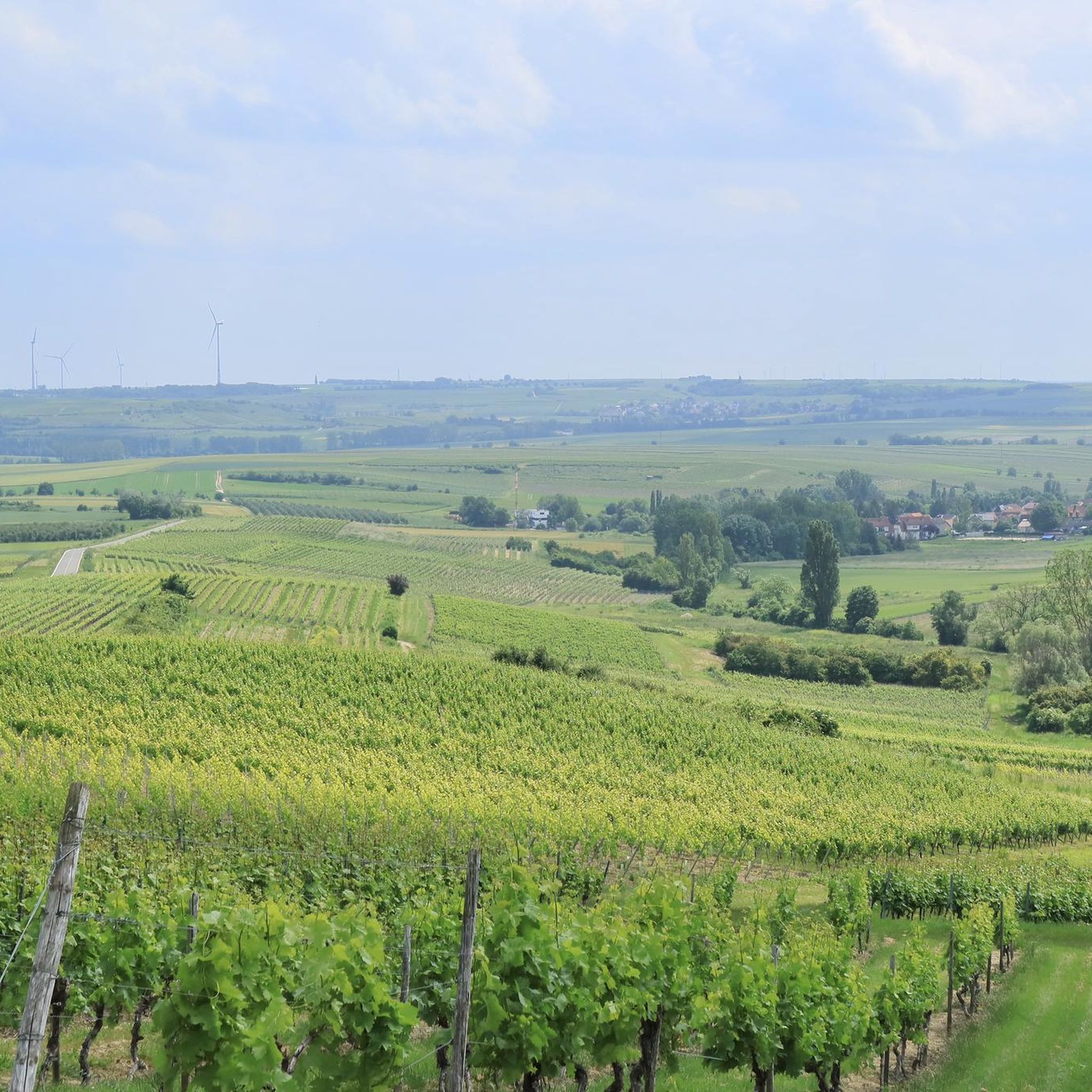
Road cycling around Gau-Weinheim is characterized by its position within the Rheinhessisches Hügelland, a region known for its rolling hills and extensive vineyards. The terrain features gentle ascents and descents, providing varied cycling experiences. Prominent natural features include the Wißberg, a 271-meter-high hill, which offers elevated views across the landscape. The area's network of paved paths and economic routes through vineyards makes it suitable for road cycling.
Best road cycling routes around Gau-Weinheim
- The most popular road cycling route is…
Last updated: July 1, 2026
4.8
(5)
80
riders
57.6km
02:29
450m
450m
Moderate road ride. Good fitness required. Mostly well-paved surfaces and easy to ride.
4.0
(1)
64
riders
152km
06:43
640m
640m
Hard road ride. Very good fitness required. Some segments of this route may be unpaved and difficult to ride.

Sign up for free
3.8
(17)
46
riders
42.3km
01:47
130m
130m
Moderate road ride. Great for any fitness level. Some segments of this route may be unpaved and difficult to ride.
18
riders
75.5km
03:24
700m
700m
Moderate road ride. Good fitness required. Mostly well-paved surfaces and easy to ride.
3.7
(3)
26
riders
Easy road ride. Great for any fitness level. Mostly well-paved surfaces and easy to ride.
Get access to more routes and recommendations from other explorers.
Sign up for free
Already have an account?
Our route recommendations are based on thousands of hikes, rides, and runs completed by other people on komoot.
Start today with a free account
Your next adventure awaits.
Login or Signup
Tips from the Community

One of the oldest medieval stone bridges in Germany. The short stop is worthwhile for anyone who wants to discover a piece of history on their bike tour.
2
0

Wide street with views and top surface
0
0

With a total length of around 1,233 kilometers, the Rhine is one of the longest, most historically significant, and economically important rivers in Europe. The river originates in the Swiss Alps, where it is formed from the two headwaters, the Vorder- and Hinterrhein. After flowing through Lake Constance, it plunges down at the Rhine Falls near Schaffhausen and then, as the High Rhine, forms the border between Switzerland and Germany. Further on, as the Upper Rhine, it flows through the Upper Rhine Plain past major cities such as Karlsruhe and Ludwigshafen, as well as directly past the region of Mainz and Wiesbaden. In this area, the river makes a sharp turn west at the so-called "Rhine Knee" (Rheinknie) before reaching the spectacular Middle Rhine. This section between Bingen and Koblenz – known as the Upper Middle Rhine Valley (Obere Mittelrheintal) – has been protected as a UNESCO World Heritage site since 2002 due to its density of castles, historic vineyards, and the legend of the Loreley rock. Via the Lower Rhine (Niederrhein) and the metropolitan regions of Cologne and Düsseldorf, the Rhine finally continues into the Netherlands. There it divides into a widely branched delta and finally flows into the North Sea near Rotterdam. As an international waterway, the Rhine is the logistical backbone of Western Europe. It connects major industrial centers and seaports directly with the hinterland, and is used annually by tens of thousands of cargo ships for the transport of coal, ores, containers, and chemical goods. In addition to its industrial function, the Rhine Valley serves as a lifeline for tourism, as a rich source of energy through hydropower plants, and as a valuable natural and recreational area for millions of people.
8
0
Here in this position, the Nahe flows into the Rhine
7
0

The new Drusus Bridge, still visible today, was built 100 years later under Archbishop Willigis (975-1011). This bridge was destroyed by the French in 1689. It was rebuilt by 1772. In March 1945, a special command blew up the bridge arch in front of the advancing troops of the Allies. Today, the 1000-year-old Drusus Bridge, in new splendor, once again shapes the cityscape of Bingen.
1
0
The Drusus Bridge owes its name to the Roman general Drusus, who is said to have built the first wooden bridge over the Nahe. It probably originated in the decade before Christ's birth, but was probably in a different location. At that time, Drusus fortified the left bank of the Rhine border of the Roman Empire by building fortifications and may have had a convenient path built across the Nahe. The wooden bridge was destroyed in 70 AD. The current stone bridge is a construction from the 11th century.
2
0

Frequently Asked Questions
How many road cycling routes are available around Gau-Weinheim?
There are over 190 road cycling routes in the Gau-Weinheim region, offering a wide variety of distances and difficulty levels. This includes 38 easy routes, 122 moderate routes, and 35 challenging options.
What kind of terrain can I expect when road cycling in Gau-Weinheim?
Gau-Weinheim is situated in the Rheinhessisches Hügelland, known as the "Land of a Thousand Hills." You can expect a diverse terrain featuring gentle rolling hills blanketed with extensive vineyards, as well as some more challenging ascents. Many routes utilize well-maintained concrete and paved economic paths through the vineyards.
Are there challenging road cycling routes in the Gau-Weinheim area?
Yes, for experienced road cyclists seeking a challenge, there are 35 difficult routes. One such route is the Dike Path – View of Mainz loop from Gau-Bickelheim, which covers over 150 km and offers expansive views of the Rheinhessen landscape.
What are some easier road cycling options for beginners or leisurely rides?
There are 38 easy road cycling routes around Gau-Weinheim. A good option for a more relaxed ride is the Gensingen–Sprendlingen cycle path – Wiesbach Bridge near Gensingen loop from Gau-Bickelheim, a 43.6 km trail leading through vineyard-lined paths.
What notable landmarks or viewpoints can I see along the road cycling routes?
The region is rich in landmarks and scenic viewpoints. You might encounter the prominent Wißberg hill, offering numerous lookout points. Other attractions include the historic Leaning Tower of Gau-Weinheim, the Panorama Bench at Siefersheimer Horn, and various spots like View of Rheinhessen Vineyards, providing expansive vistas of the surrounding landscape.
Can I combine road cycling with wine tasting or vineyard visits in Gau-Weinheim?
Absolutely. The Gau-Weinheim region is at the heart of Rheinhessen's wine country, with extensive vineyards defining the landscape. Many routes pass directly through these vineyards, offering opportunities to stop at local wineries or wine taverns. The Flonheim – Tiefenthaler Höfchen loop from Gau-Bickelheim is a great example of a route that navigates through these characteristic rolling vineyards.
Are there scenic loop trails for road cycling around Gau-Weinheim?
Yes, many road cycling routes in Gau-Weinheim are designed as loops, allowing you to start and end in the same location while enjoying varied scenery. The Wißberg, for instance, features a panoramic circular route, and routes like the Zur Junkermühle Restaurant – Tiefenthaler Höfchen loop from Gau-Bickelheim offer convenient circular options.
What is the best time of year for road cycling in Gau-Weinheim?
The spring and autumn months are generally ideal for road cycling in Gau-Weinheim. Spring brings blooming vineyards and mild temperatures, while autumn offers vibrant colors and the grape harvest season. Summer can also be pleasant, but it's advisable to cycle earlier in the morning or later in the afternoon to avoid the midday heat.
What do other road cyclists enjoy most about road cycling in Gau-Weinheim?
The road cycling routes around Gau-Weinheim are highly rated by the komoot community, with an average score of 4.6 stars from over 180 reviews. Cyclists frequently praise the continuous scenic tranquility, breathtaking vistas of the Rheinhessisches Hügelland, and the well-maintained paved paths through the vineyards.
Are there any specific natural features or geological points of interest to look out for?
Beyond the vineyards, the region has geological significance. The area around Gau-Weinheim and the Wißberg is known for its paleontological findings, including the Deinotherium Sands with mammalian remains. The "Coastal path" near Alzey-Weinheim also highlights ancient seabed formations and fossil sites, offering a unique natural history element to your ride.
Are there any facilities or resting spots along the routes?
Yes, you'll find various resting spots and facilities. The Seminar-Pavillon near Gau-Weinheim offers excellent views, and there are several huts and shelters listed as highlights, such as the Aulheimer Tal trailhead and shelter. Many routes also pass through villages where you can find cafes or restaurants.
Most popular routes around Gau-Weinheim
Most popular attractions around Gau-Weinheim

Get inspired with the komoot mobile app


Explore more
Browse the best Road cycling routes in other regions.
